IRON TRIANGLE (WILLETS POINT)
Queens
Geographic Setting
Bounded by Meridian Road to the south, the Grand Central Parkway to the west, Flushing Bay to the north, and Flushing Creek to the east, Iron Triangle (Willets Point) occupies a wedge of low-lying land at the northwestern edge of Flushing Meadows–Corona Park, directly opposite Citi Field and adjacent to the Whitestone Expressway interchange. Long known for its maze of auto-repair shops, scrap yards, and improvised industrial yards, this pocket of Queens formed one of New York City’s most unusual urban frontiers—a landscape of metalwork and mud that stood in sharp contrast to the stadium lights, parkland, and expressways surrounding it.
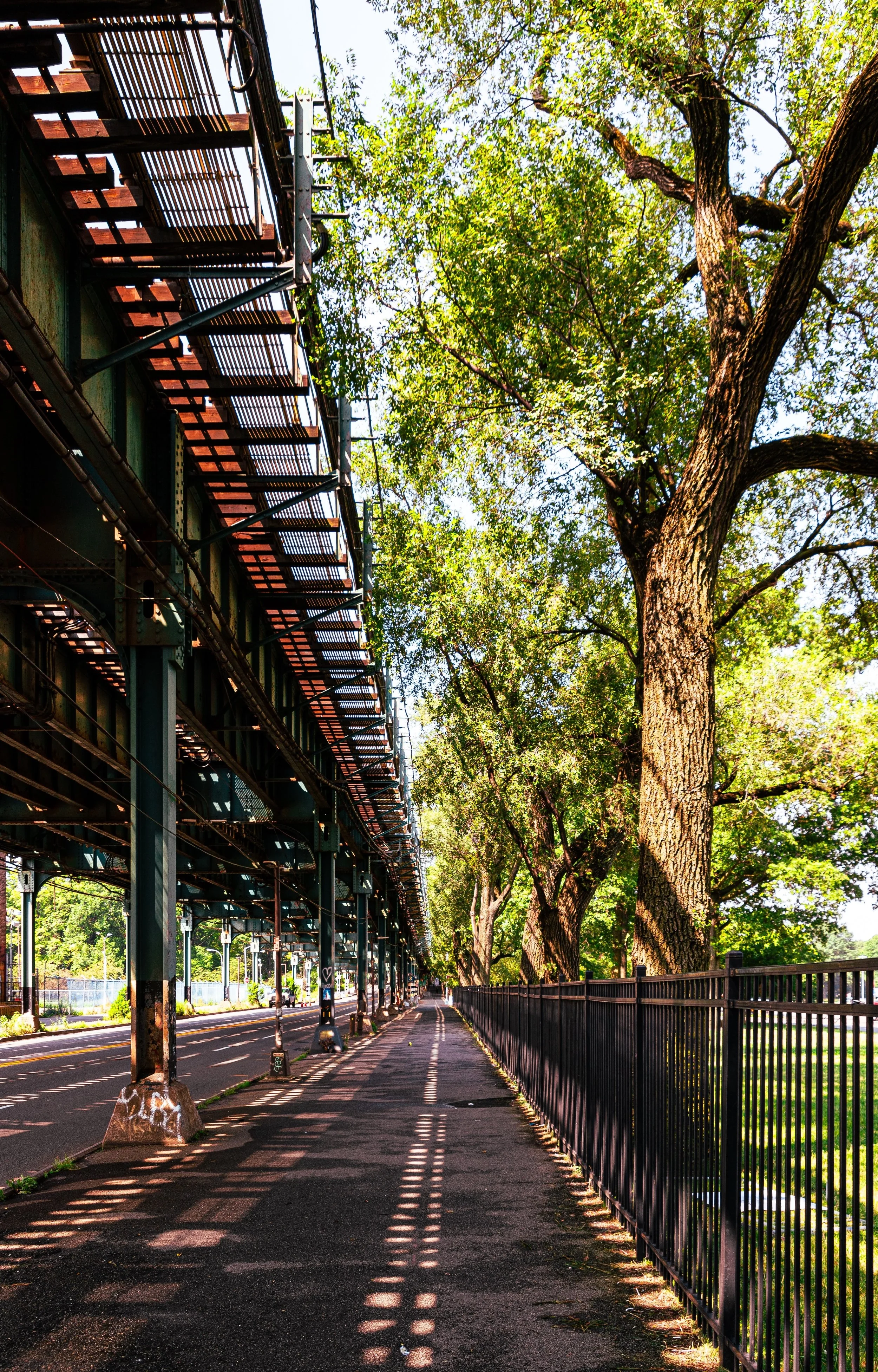
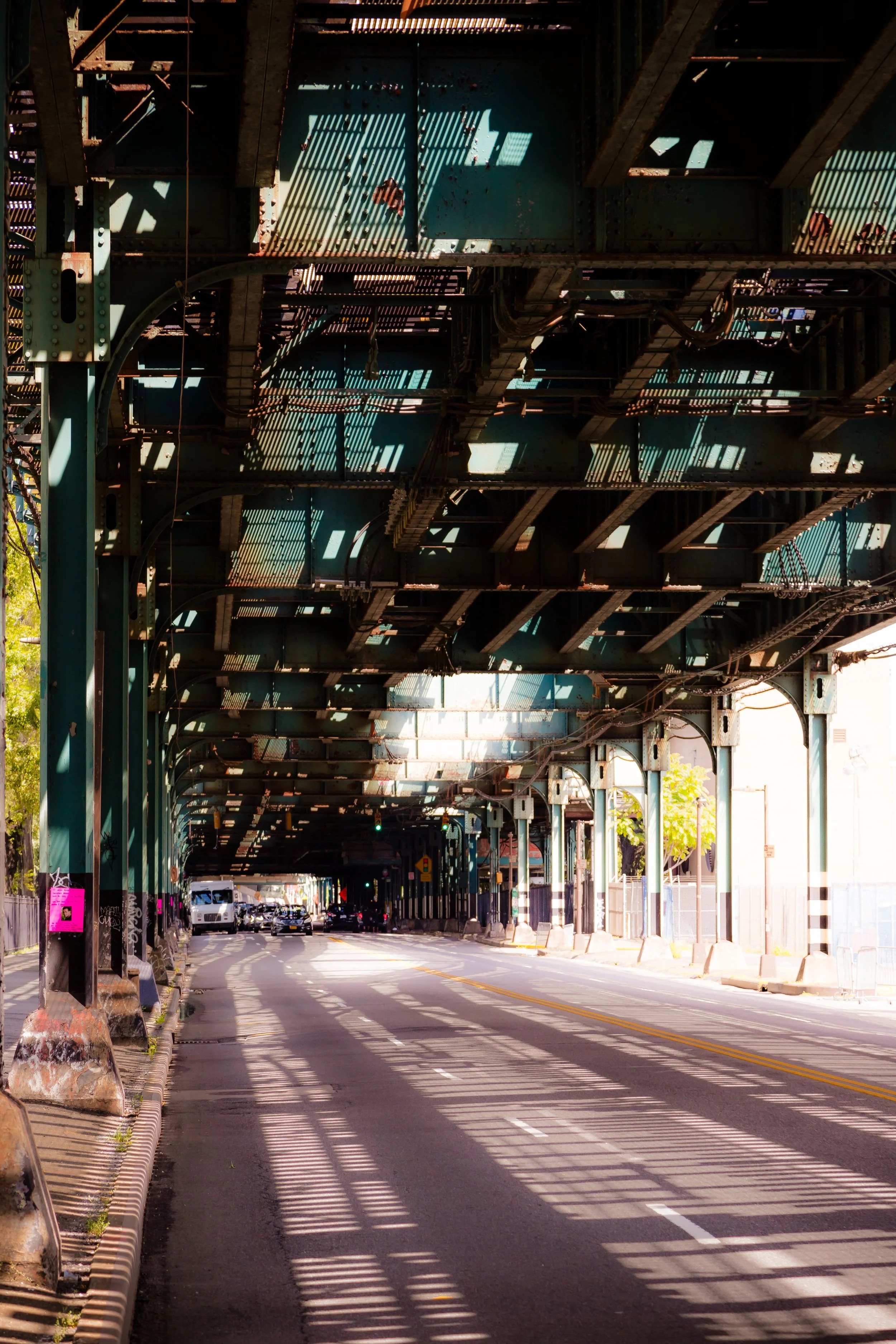
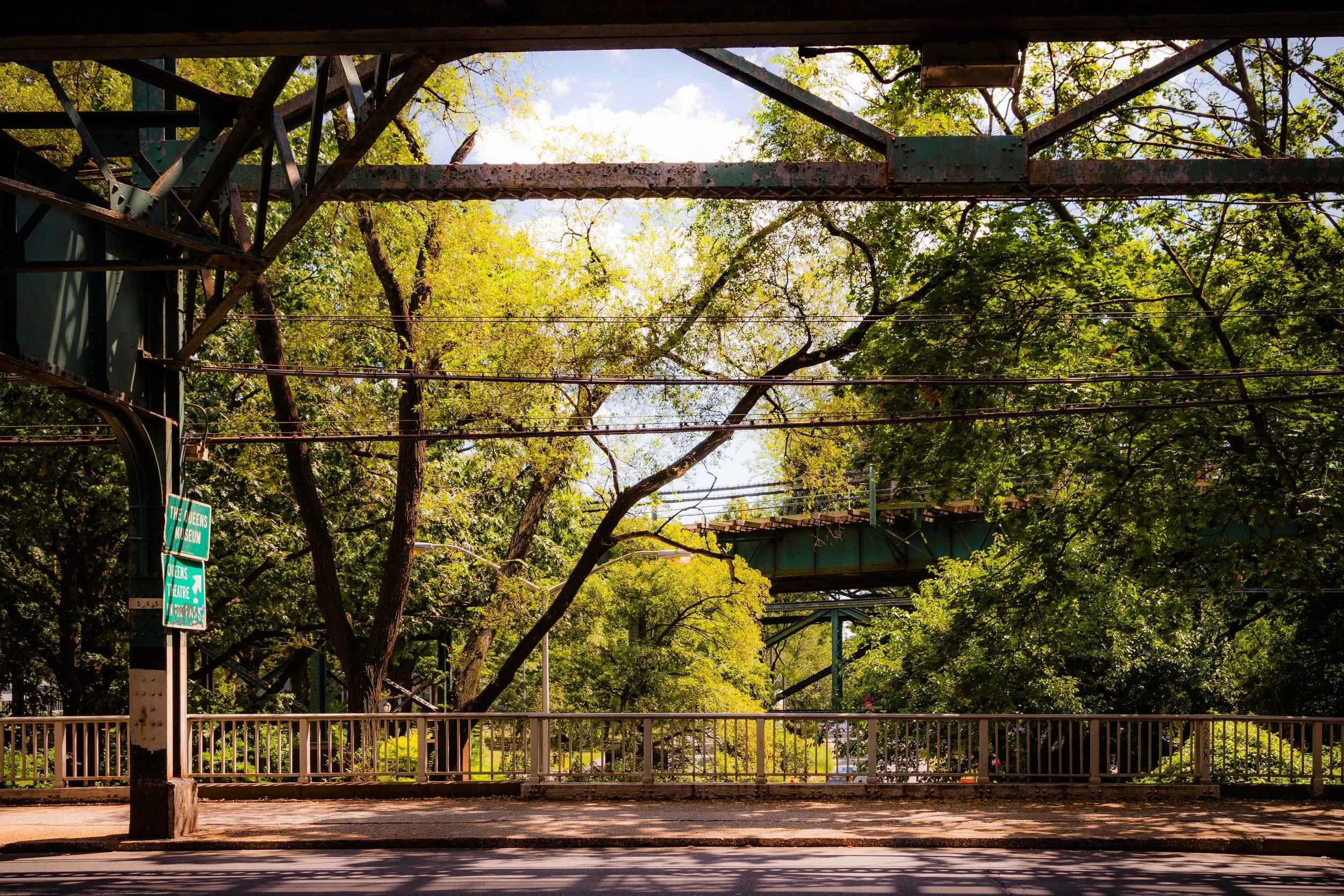
The neighborhood sits at the mouth of the Flushing River, where the tidal inlet broadens toward Flushing Bay. Much of the land was once wetland and fill, giving the area its famously flat, flood-prone topography and its long-running struggle with drainage. To the west, the Grand Central Parkway and ramps to the expressway create a hard barrier; to the east, the stadium complex and rail infrastructure press close. Despite its proximity to some of Queens’ busiest civic landmarks, the district has historically felt detached—hemmed in by infrastructure, tucked behind ramps and rights-of-way, and seldom experienced as a place you “pass through” unless you have a reason to be there.
Etymology and Origins
The hybrid name Iron Triangle (Willets Point) holds two histories at once: the local, work-worn nickname that grew out of the district’s metallic trades, and the “Willets Point” label that drifted here through the circuitry of streets, stations, and official repetition. “Willets Point” properly belongs to the northeastern Queens peninsula later occupied by Fort Totten Park—a name tied to the Willets family and to older coastal geography—but it migrated westward via Willets Point Boulevard (now incorporated into Northern Boulevard), and was further cemented by transit usage around the nearby stadium stop. Over the 20th century, what began as a practical reference to a road and station became, by sheer inertia, the neighborhood’s public-facing name—even as “Iron Triangle” remained the truer descriptor of the wedge’s historic character.
Long before either name took hold, this ground was marshland—part of a tidal estuary at the mouth of the Flushing River, where wetlands, creeks, and bay formed a soft boundary between land and water. In the early 20th century, those meadows were steadily filled—first through industrial ambitions, and then through municipal necessity—with household coal ash, street sweepings, and refuse. The dumping intensified as New York relied more heavily on garbage incineration, and the landscape north of what is now Flushing Meadows–Corona Park became notorious as the Corona Ash Dumps: mounded gray ridges, drifting dust, foul water, and a river polluted at its edges by the city’s own byproducts.
It was this real terrain—this ash-choked, half-made landscape between the city and the Gold Coast—that fed one of America’s most enduring literary images. In The Great Gatsby, F. Scott Fitzgerald cast the dumps and their surrounding wasteland into myth as the “Valley of Ashes,” a bleak corridor of residue and moral aftermath set between wealth and the city’s glittering promises. The label wasn’t a metaphor conjured from nowhere; it was an artful sharpening of what existed in Queens at the time—an ecological and civic scar that would later be leveled, landscaped, and partially entombed beneath the roadbeds and fairgrounds of the 1939–1940 World’s Fair era.
The Neighborhood
Early–Mid 20th Century: Industry, Infrastructure, and Isolation
After the great reshaping of Flushing’s shorelands—fill, park building, fairgrounds, and the rise of highway-era Queens—the district settled into the role the modern city often assigns its margins: a place for uses deemed too loud, too messy, or too practical for residential streets. With major road access and few nearby homeowners to complain, the triangle became a magnet for small industrial and automotive businesses—repair, parts, towing, metalwork, salvage—often clustered in low buildings and corrugated sheds that could be adapted, subdivided, and rebuilt as needed.
By the mid-20th century, the area’s identity was fully formed. The streets were famously rough, frequently unpaved, and chronically ill-serviced; rain pooled into long, stubborn lakes. Yet the district functioned with a fierce internal logic: an interlocking network of skilled labor, informal supply chains, and “can-do” repair culture that kept vehicles—and livelihoods—moving. The Iron Triangle was not pretty, but it was purposeful, and for decades it did a kind of essential city work that rarely earns a landmark plaque.
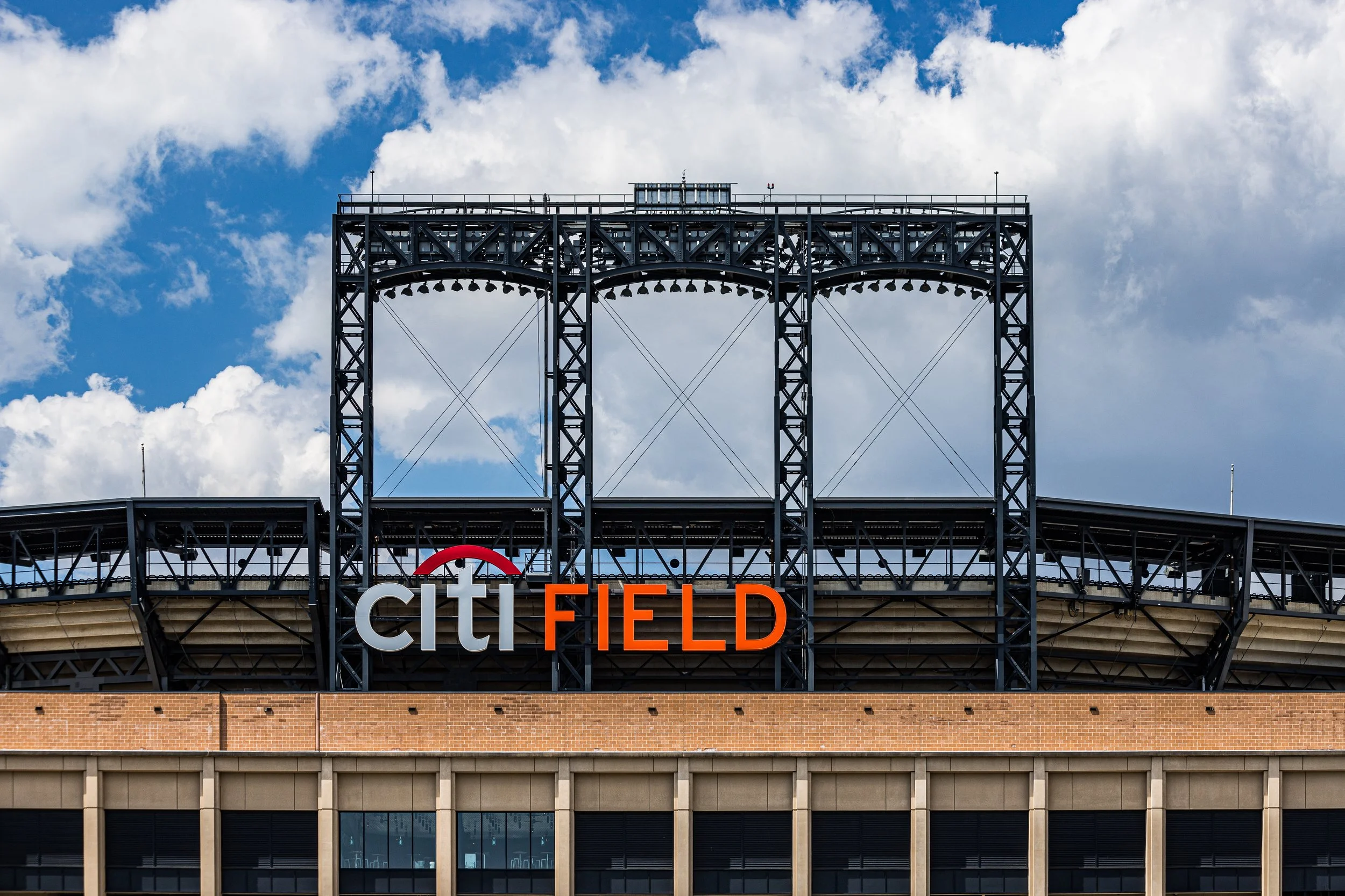
Across the creek, the opening of Shea Stadium in 1964 brought the New York Mets and millions of visitors to the edge of the district, intensifying a contrast that became almost theatrical: bright stadium spectacle on one side, industrial grit on the other. The triangle remained itself—an enclave of labor and repair—while the surrounding landscape grew louder, cleaner, and more legible to outsiders.
Late 20th Century: Persistence Amid Decline
Through the 1970s, 1980s, and 1990s, the triangle endured as a vestige of industrial Queens even as nearby neighborhoods shifted and the city’s economy remade itself. Its businesses—often small, family-run, and frequently operated by immigrant entrepreneurs—formed an engine of opportunity in a place many had written off. The district’s informality became its strength: it could absorb risk, hustle, and niche specialization, all while functioning with remarkably little municipal support.
The conditions that outsiders cited as proof of neglect—mud, flooding, patchwork utilities—also became part of the Iron Triangle’s mythology, a rough-edged resilience at the city’s seam. Workers built routines around the terrain: raised platforms, makeshift walkways, improvised drainage, and an intimate knowledge of what the ground would do when the sky opened. For some, it was an emblem of abandonment; for others, a living archive of ingenuity—an urban workshop where skill mattered more than polish.
Meanwhile, the “Willets Point” name continued to gain weight, not because it described the district more accurately, but because it was printed, spoken, and navigated. In New York, names often belong to whoever repeats them most: the transit map, the stadium crowd, the redevelopment press release. By the end of the century, the wider public increasingly knew the place by the name that traveled—while “Iron Triangle” remained the name that stayed.
Iron Triangle (Willets Point) Video Coming Soon
21st Century: Redevelopment and Transformation
In the new century, the district entered the most consequential transition of its modern history. Plans for large-scale redevelopment—housing, commercial space, new streets and utilities, and major sports and entertainment infrastructure—began to reshape not only the ground but the narrative. The triangle that once operated as an improvised industrial ecosystem became, in the city’s planning imagination, a blank slate: a rare expanse near transit and stadium traffic that could be rebuilt from the subgrade up.
This transformation carried real costs. Land acquisition, business displacement, and the unraveling of long-standing repair networks turned the Iron Triangle from a lived-in workplace into a contested redevelopment zone. The opening of Citi Field in 2009 sharpened the pressure to “resolve” the adjacent landscape—making the district more visible than ever, even as its historic core was being thinned, moved, or erased.
And yet, redevelopment also creates a strange opportunity: the chance to name what a place was before the new version hardens into permanence. As the district takes on a new phase of planned urbanism—new streets, new buildings, new identities—the moment is ripe to restore “Iron Triangle” to the headline without pretending that “Willets Point” hasn’t become the modern tongue of the city. The hybrid Iron Triangle (Willets Point) does both: it honors the older, truer description of the place, while acknowledging the contemporary naming system that most visitors now recognize.
Iron Triangle (Willets Point) Photo Gallery
Spirit and Legacy
The spirit of Iron Triangle (Willets Point) is defined by reinvention, but not the tidy kind that wipes the slate clean. It is a Queens story about edges—wetland turned fill, workshop turned spectacle-adjacent, informal labor pressed up against formal planning. For decades, the Iron Triangle was a hidden engine room: rough, ingenious, essential, and misunderstood. “Willets Point,” by contrast, is the name that arrived through repetition—an adopted label that became real by use, even if it began as a geographic hand-me-down.
Reclaiming “Iron Triangle” now is more than nostalgia. It’s a way of keeping the district’s working history attached to its future—so the new neighborhood doesn’t read like it emerged from nowhere, fully branded and freshly poured. The hybrid name becomes a small act of historical continuity: a reminder that before the next chapter, there was a long, loud, metal-hearted one—written in repairs, salvage, and the stubborn persistence of people making a living at the margins of the city’s grand designs.
New York City
Use this custom Google map to explore where every neighborhood in all five boroughs of New York City is located.
The Five Boroughs
One of New York City’s unique qualities is its organization in to 5 boroughs: Manhattan, Brooklyn, Queens, The Bronx, and Staten Island. These boroughs are part pragmatic administrative districts, and part vestiges of the region’s past. Each borough is an entire county in New York State - in fact, Brooklyn is, officially, Kings County, while Staten Island is, officially Richmond County. But that’s not the whole story …
Initially, New York City was located on the southern tip of Manhattan (now the Financial District) that was once the Dutch colony of New Amsterdam. Across the East River, another city was rising: Brooklyn. In time, the city planners realized that unification between the rapidly rising cities would create commercial and industrial opportunities - through streamlined administration of the region.
So powerful was the pull of unification between New York and Brooklyn that three more counties were pulled into the unification: The Bronx, Queens, and Staten Island. And on January 1, 1898, the City of New York unified two cities and three counties into one Greater City of New York - containing the five boroughs we know today.
But because each borough developed differently and distinctly until unification, their neighborhoods likewise uniquely developed. Today, there are nearly 390 neighborhoods, each with their own histories, cultures, cuisines, and personalities - and each with residents who are fiercely proud of their corner of The Big Apple.


