MAPLETON
Brooklyn
Geographic Setting
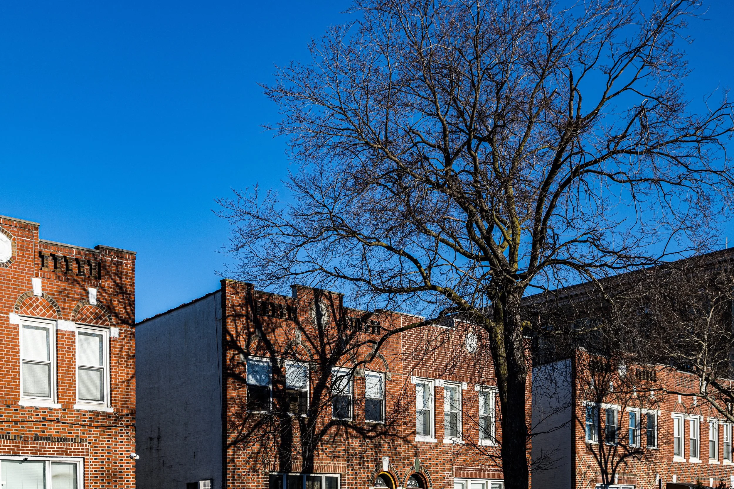
Bounded by 60th Street to the north, 65th Street to the south, 16th Avenue to the west, and McDonald Avenue to the east, Mapleton is a compact, quietly residential enclave tucked between Borough Park and Bensonhurst in southwestern Brooklyn. Its few square blocks hold a microcosm of Brooklyn life—tree-lined streets of modest brick homes, small apartment houses, corner bakeries, and an enduring sense of neighborhood familiarity.
Though surrounded by some of the borough’s most densely populated districts, Mapleton retains a distinct identity born of its early-20th-century origins as a planned suburban development. The neighborhood rises gently from McDonald Avenue’s subway line toward 16th Avenue, forming a subtle ridge from which the towers of downtown Brooklyn can be glimpsed on clear days. Its streets—61st through 64th, intersected by 17th and 18th Avenues—carry the rhythm of local life: quiet on weekdays, animated on Sabbath evenings and summer afternoons. The 62nd Street station (D line) and the nearby Bay Parkway station (F line) link the neighborhood directly to Coney Island and Manhattan, making Mapleton both serene and accessible.
Etymology and Origins
The name Mapleton was adopted around 1903–1905, when developers began subdividing farmland in this corner of the old Town of New Utrecht. The name, likely chosen for its pleasant, pastoral associations, reflected the ambitions of early builders to market the district as a green, suburban “maple town” amid Brooklyn’s rapid urbanization.
Before that time, the area was open countryside—flat fields and meadows that stretched south toward Bath Beach and north toward Borough Park. Dutch and English-descended farmers had worked this land since the 1600s, producing vegetables, grains, and dairy for sale in Flatbush and Gravesend. The arrival of the Brooklyn, Bath and Coney Island Railroad (later the West End Line, now the D train) in the 1860s, and the Culver Line (now the F train) along McDonald Avenue in the 1870s, transformed this agricultural fringe into one of Brooklyn’s most developable corridors.
The Neighborhood
Early 20th Century: From Farmland to Residential Enclave
By the turn of the century, as Brooklyn’s population soared and nearby Borough Park and Bensonhurst began filling with rowhouses, developers turned their attention to this small wedge of farmland. In 1903, the Mapleton Park Company and the Mapleton Realty Company began marketing lots for “comfortable suburban homes within the city.” Advertisements in the Brooklyn Daily Eagle promised paved streets, sewers, and tree-lined avenues—amenities that set the area apart from its still-rural surroundings.
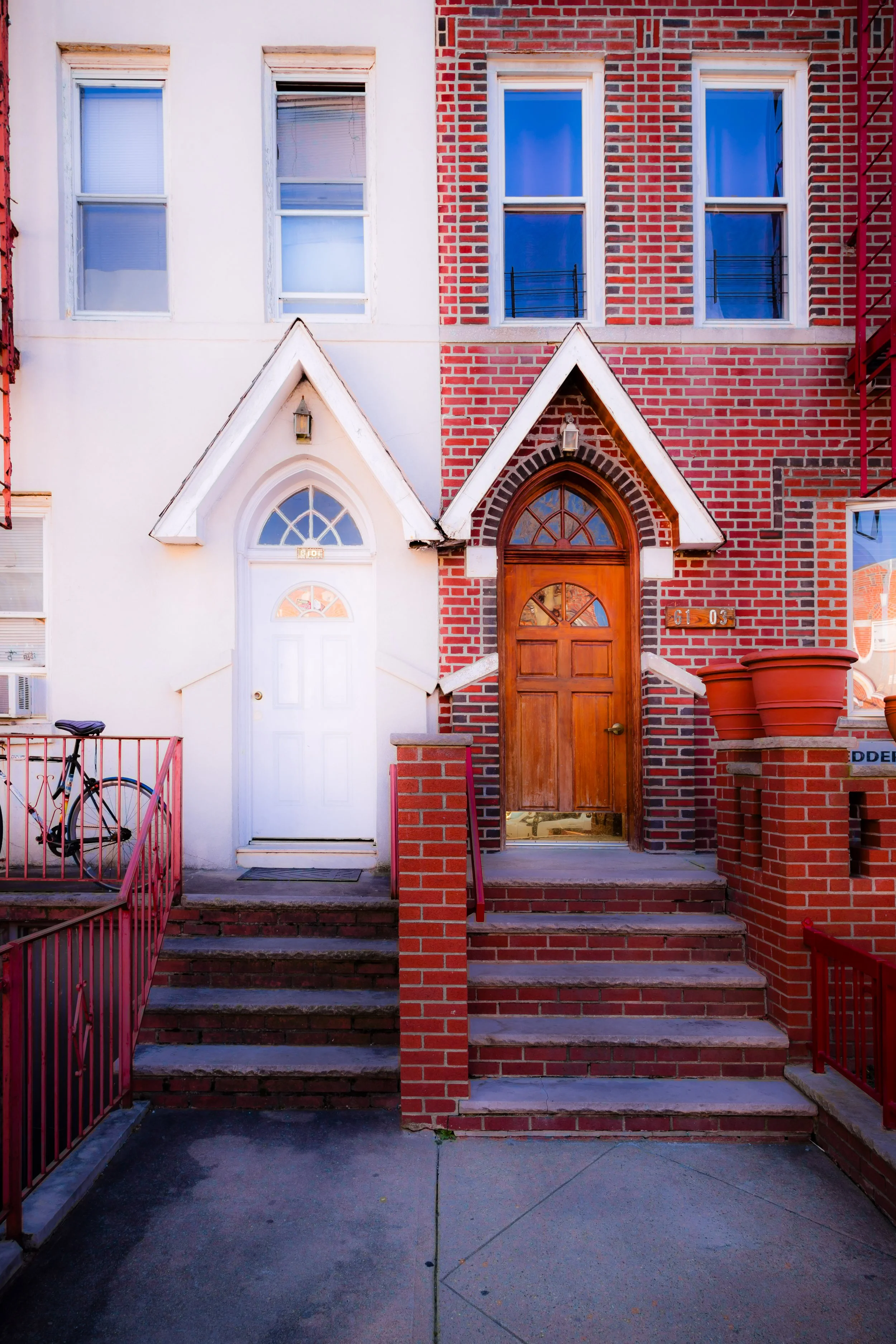
Early houses were two-story frame and brick dwellings, often semi-detached, in Colonial and Neo-Renaissance styles. By the 1910s–1920s, larger brick two-family homes with porches and bay windows became the neighborhood’s signature, interspersed with small apartment buildings along McDonald and 60th Streets. The Mapleton branch of the Brooklyn Public Library, established nearby, and local schools such as P.S. 48 (The Mapleton School) helped form the nucleus of civic life.
During this period, Mapleton attracted Italian and Jewish middle-class families, many of whom worked as merchants, teachers, or civil servants. Its proximity to the subway made it ideal for commuters, while its modest density preserved a sense of privacy and calm. Tree plantings along 61st through 64th Streets fulfilled the developers’ promise of a leafy “Mapleton,” and the neighborhood’s grid took on the character of a small-town suburb within the larger city.
Mid–20th Century: Stability and Community Identity
Through the 1930s–1950s, Mapleton maintained a reputation as a solidly middle-class neighborhood. Its two-family brick houses, typically owned by working professionals, became the backbone of generational stability. Children played stickball in the streets, neighbors chatted from stoops, and small shops along 16th Avenue and McDonald Avenue catered to every need—from grocers and kosher butchers to shoe repair shops and candy stores.
Religious and cultural institutions flourished during these decades. The Mapleton Jewish Center, founded in the 1920s, served as both synagogue and community hub. Churches such as St. Athanasius Roman Catholic Church (just beyond the neighborhood’s southern edge) also drew congregants from Mapleton’s families, reflecting the coexistence of Italian Catholic and Jewish households that defined the area’s social fabric.
The postwar years saw a wave of Italian-American homeownership, many families moving from South Brooklyn or Manhattan’s Lower East Side. The community remained remarkably cohesive, buffered from the upheavals of urban renewal that reshaped other parts of the city. While nearby 65th Street and Kings Highway grew increasingly commercial, Mapleton’s core blocks preserved their low-rise, residential scale.
Mapleton Photographic Video
Late 20th Century: Continuity and Subtle Change
By the 1970s and 1980s, Mapleton had entered a phase of quiet continuity. Its long-standing Jewish and Italian families were joined by newer arrivals from the Middle East, the former Soviet Union, and South Asia, reflecting the demographic evolution of southern Brooklyn as a whole. The neighborhood remained overwhelmingly residential, with strong local institutions and low crime rates.
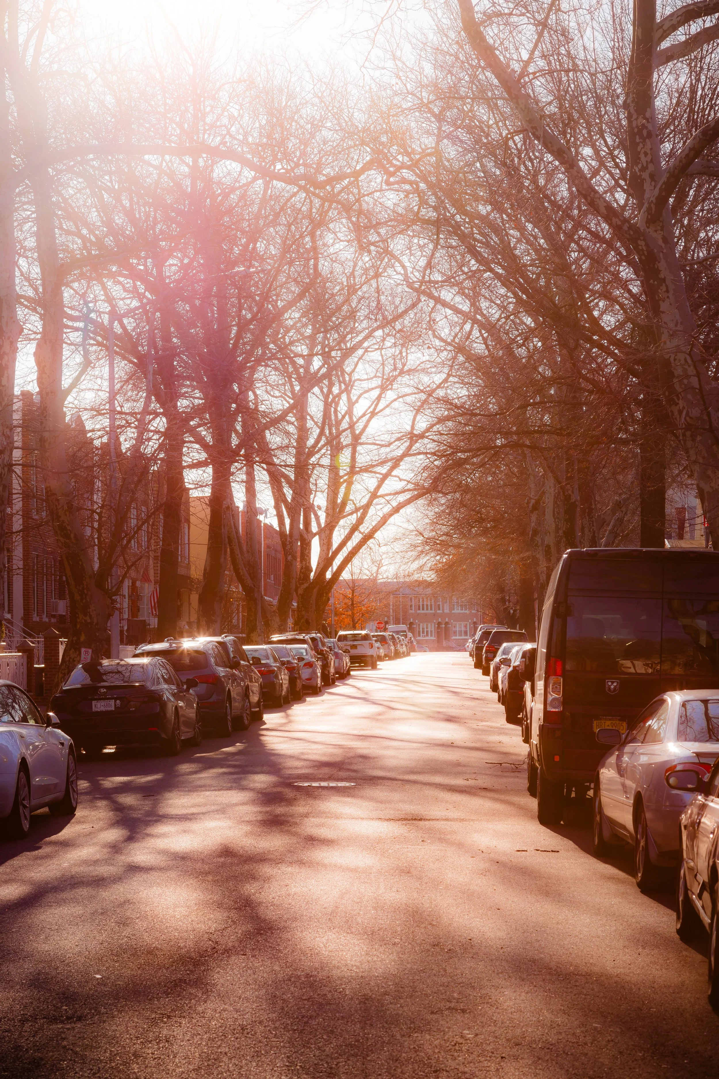
Many of the original early-20th-century houses were maintained or modestly renovated rather than replaced. Garden hedges, wrought-iron fences, and tiled stoops lent the area a uniform dignity. The streetscape—dominated by tidy brick houses and mature street trees—evoked an earlier Brooklyn, one that prioritized permanence over spectacle.
Small commercial corridors persisted along McDonald Avenue, 16th Avenue, and nearby Bay Parkway, where Italian delis, kosher bakeries, and Middle Eastern markets coexisted. The proximity to both Borough Park’s Orthodox institutions and Bensonhurst’s retail heart lent Mapleton a convenient centrality, even as it retained its distinct calm.
21st Century: Diversity and Preservation
In the 21st century, Mapleton remains one of Brooklyn’s most quietly stable neighborhoods. Though modest in scale—just a few dozen blocks—it embodies the borough’s layered diversity. Syrian, Egyptian, Pakistani, and Bukharan Jewish families now share blocks with Italian American and Russian households whose parents or grandparents settled here decades earlier. This coexistence has produced a rich cultural blend visible in everything from local cuisine to block associations’ bilingual notices.
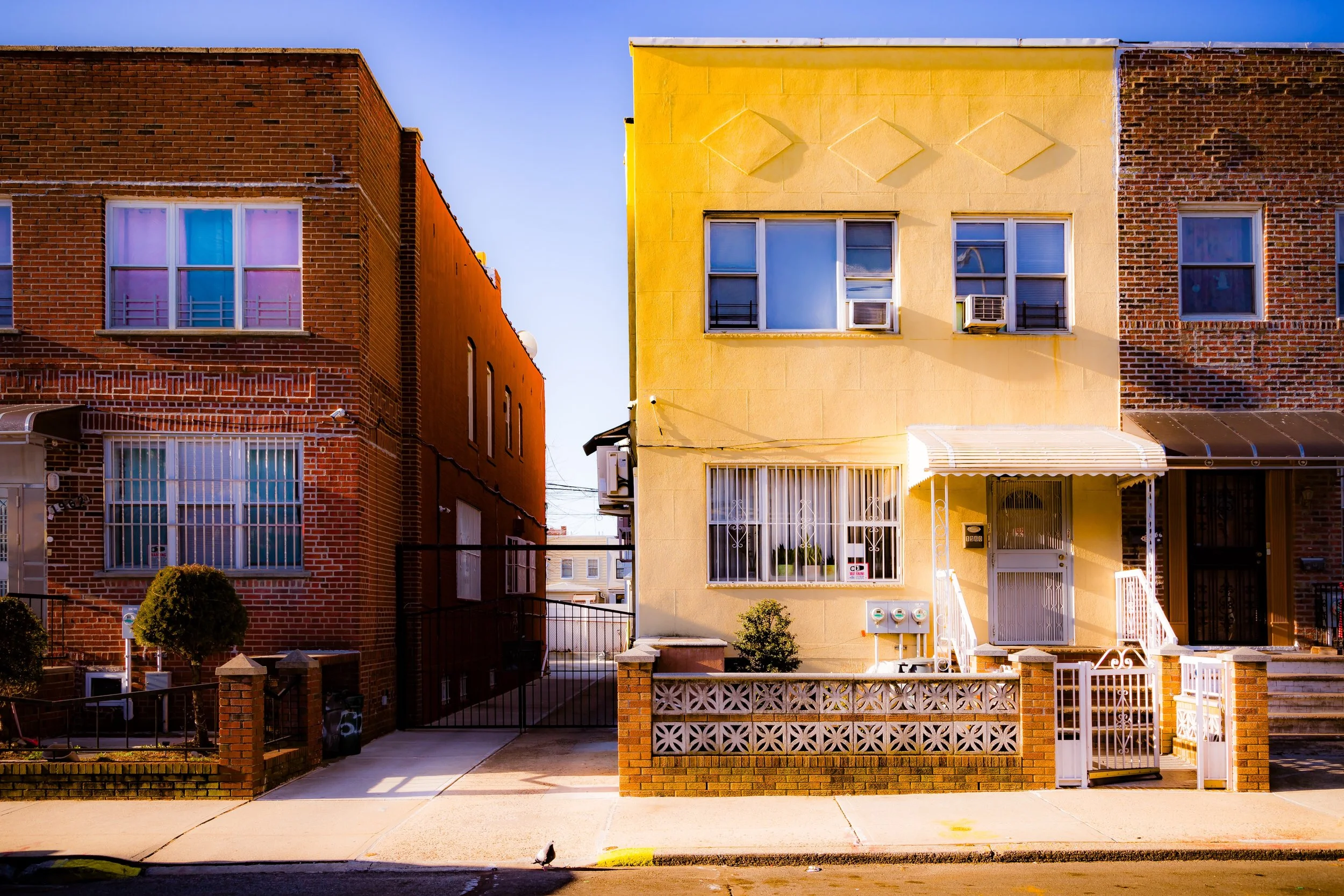
Architecturally, the neighborhood has remained remarkably intact. New construction is limited, and most properties are still one- or two-family homes dating from the 1920s. Their continuity gives Mapleton a timeless quality rare in modern Brooklyn—a neighborhood where the rhythm of life is measured less by change than by constancy. Community organizations such as the Mapleton Homeowners Association continue to advocate for zoning protections, green spaces, and the preservation of neighborhood character.
While nearby areas like Borough Park have become densely built and bustling, Mapleton offers a counterpoint: quiet streets, tidy gardens, and the enduring sound of the elevated subway along McDonald Avenue reminding residents that the city is close, but never overwhelming.
Mapleton Photo Gallery
Spirit and Legacy
Mapleton’s legacy is one of stability, balance, and continuity. Born from early 20th-century suburban ideals, it has preserved its small-scale charm through a century of transformation around it. Its enduring architecture and community institutions tell a story of immigrant aspiration, family pride, and neighborly cooperation—the enduring pillars of Brooklyn life.
New York City
Use this custom Google map to explore where every neighborhood in all five boroughs of New York City is located.
The Five Boroughs
One of New York City’s unique qualities is its organization in to 5 boroughs: Manhattan, Brooklyn, Queens, The Bronx, and Staten Island. These boroughs are part pragmatic administrative districts, and part vestiges of the region’s past. Each borough is an entire county in New York State - in fact, Brooklyn is, officially, Kings County, while Staten Island is, officially Richmond County. But that’s not the whole story …
Initially, New York City was located on the southern tip of Manhattan (now the Financial District) that was once the Dutch colony of New Amsterdam. Across the East River, another city was rising: Brooklyn. In time, the city planners realized that unification between the rapidly rising cities would create commercial and industrial opportunities - through streamlined administration of the region.
So powerful was the pull of unification between New York and Brooklyn that three more counties were pulled into the unification: The Bronx, Queens, and Staten Island. And on January 1, 1898, the City of New York unified two cities and three counties into one Greater City of New York - containing the five boroughs we know today.
But because each borough developed differently and distinctly until unification, their neighborhoods likewise uniquely developed. Today, there are nearly 390 neighborhoods, each with their own histories, cultures, cuisines, and personalities - and each with residents who are fiercely proud of their corner of The Big Apple.


