SPRINGFIELD GARDENS
Queens
Geographic Setting
Bounded by Farmers Boulevard to the west, 121st Avenue to the north, Springfield Boulevard extending south to Carson Street to the east, Brookville Park to the southeast, and Rockaway Boulevard to the southwest, Springfield Gardens occupies a broad, leafy section of southeastern Queens distinguished by its suburban-style homes, spacious lawns, and tree-lined streets. It lies between St. Albans to the northwest, Rosedale to the east, and Laurelton to the south—forming part of the trio of southeastern Queens neighborhoods historically known for their stability, greenery, and community cohesion.
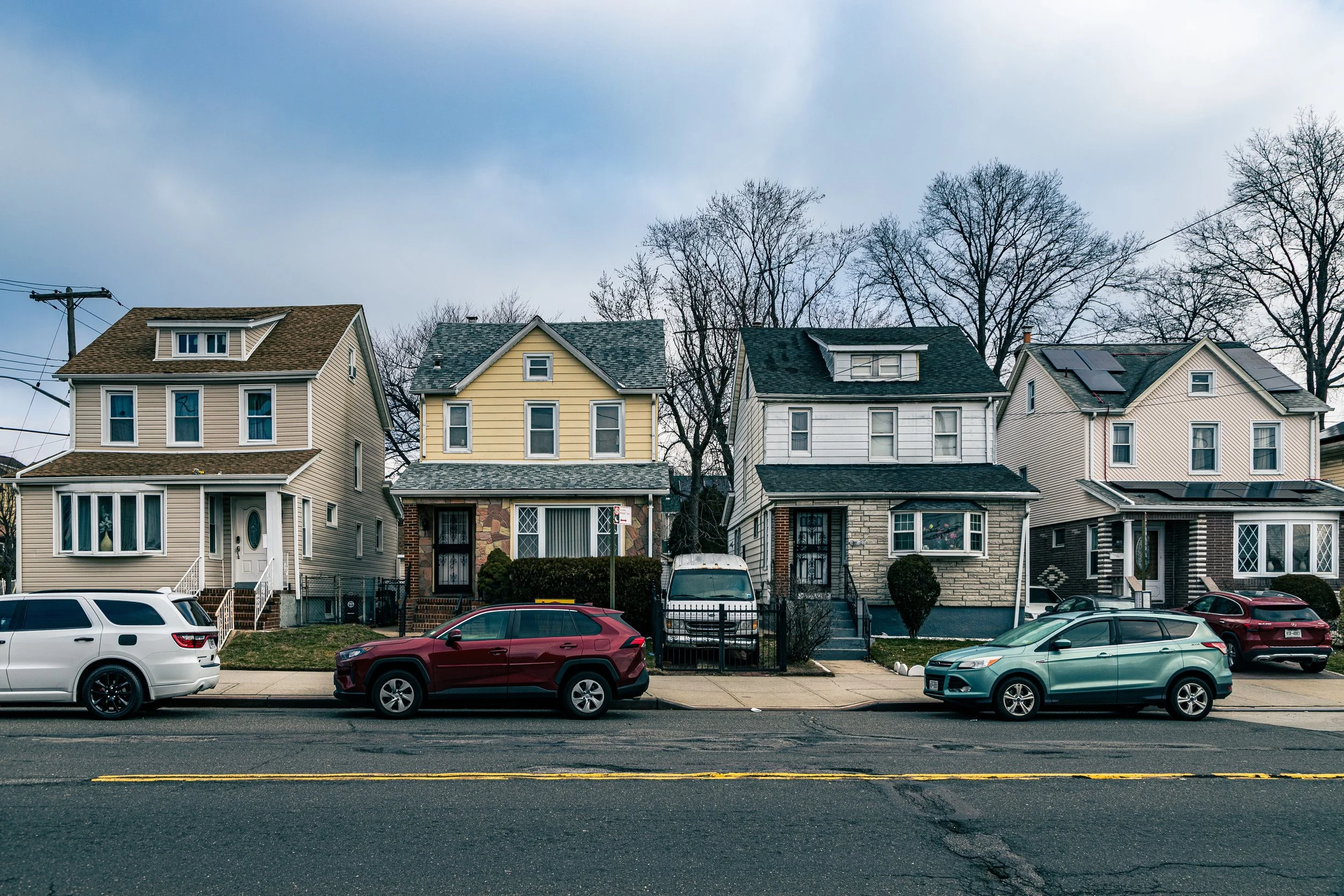
The neighborhood’s grid opens wide compared to central Queens, with generous residential lots, wide avenues, and an abundance of greenery that reflect its origins as an early 20th-century garden suburb. Its main corridors—Farmers Boulevard, Springfield Boulevard, and Merrick Boulevard to the north—serve as both transit arteries and commercial lifelines, hosting small grocers, churches, salons, and eateries that reflect the neighborhood’s vibrant Caribbean-American and African-American presence. To the southeast, Brookville Park and the wetlands of Springfield Lake form a natural boundary and provide one of the area’s most tranquil public spaces—a haven of ponds, trails, and wildlife tucked within the city’s edge.
Despite its proximity to JFK International Airport and the Belt Parkway, Springfield Gardens retains an unmistakably residential and almost suburban rhythm—one of driveways, gardens, and neighbors who have known each other for generations.
Etymology and Origins
The name “Springfield Gardens” dates to the early 20th century and combines the area’s historic toponym, Springfield—likely referencing the freshwater springs that once dotted the region—with the term Gardens, used widely during the City Beautiful and garden-city movements to convey suburban elegance and natural beauty.
Long before urbanization, this land formed part of the Town of Jamaica, settled in the 1600s by English colonists who cultivated farms and meadows across what was then a flat, marshy landscape near Jamaica Bay. Through the 18th and 19th centuries, Springfield remained largely agricultural, defined by dairy farms, greenhouses, and nurseries, many of which supplied Manhattan markets. The area’s fertile soil and clean artesian wells made it one of the most productive corners of rural Queens.
The arrival of the Long Island Rail Road (LIRR) to nearby Laurelton and Rosedale in the late 19th century began to shift the region’s destiny, offering access to city-bound commuters. Developers, recognizing the appeal of its open fields and rolling meadows, began subdividing farmland for residential use in the early 1900s, advertising Springfield Gardens as “a pastoral retreat within New York City limits.”
The Neighborhood
Early–Mid 20th Century: Suburban Growth and Homeownership
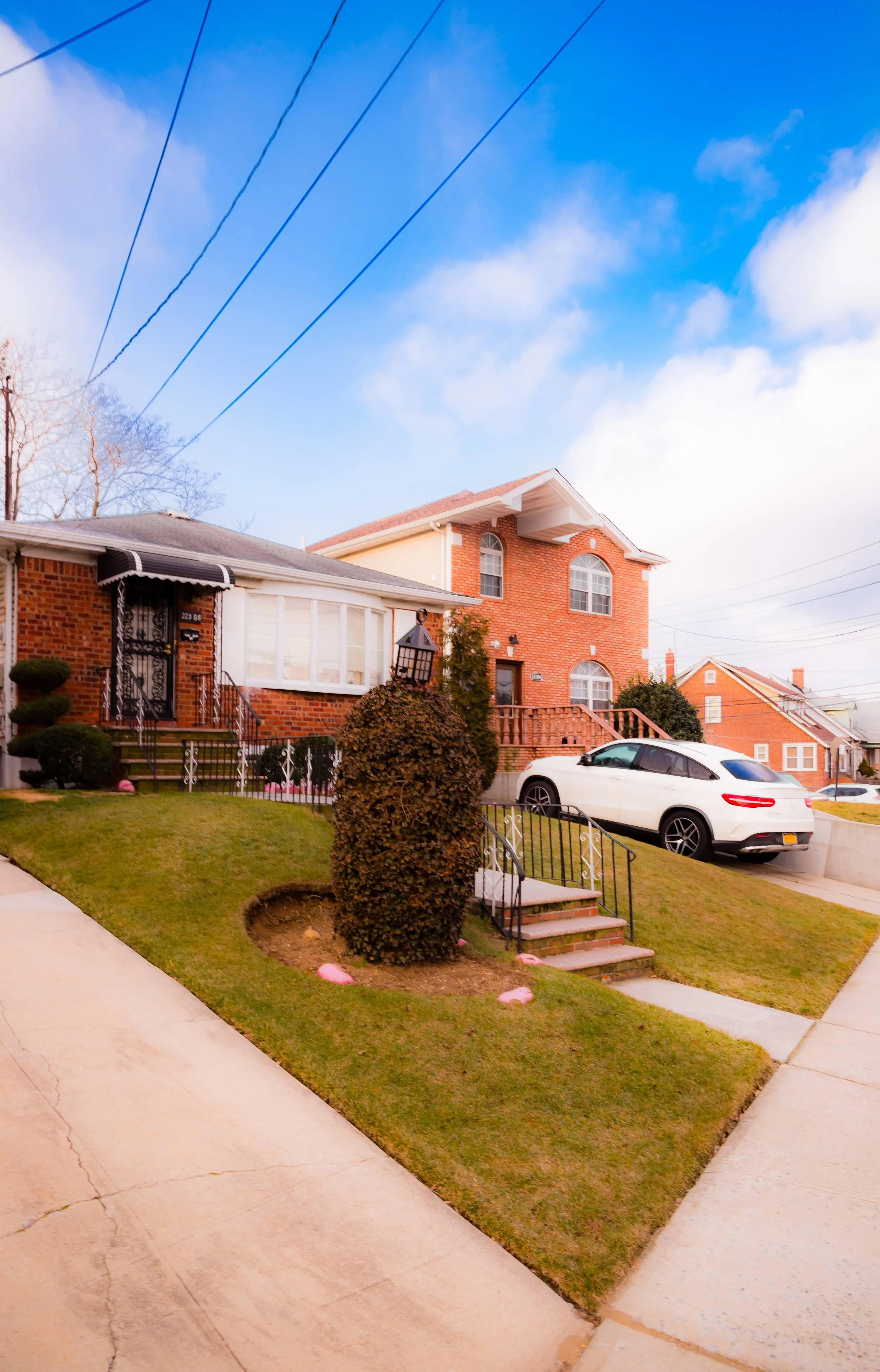
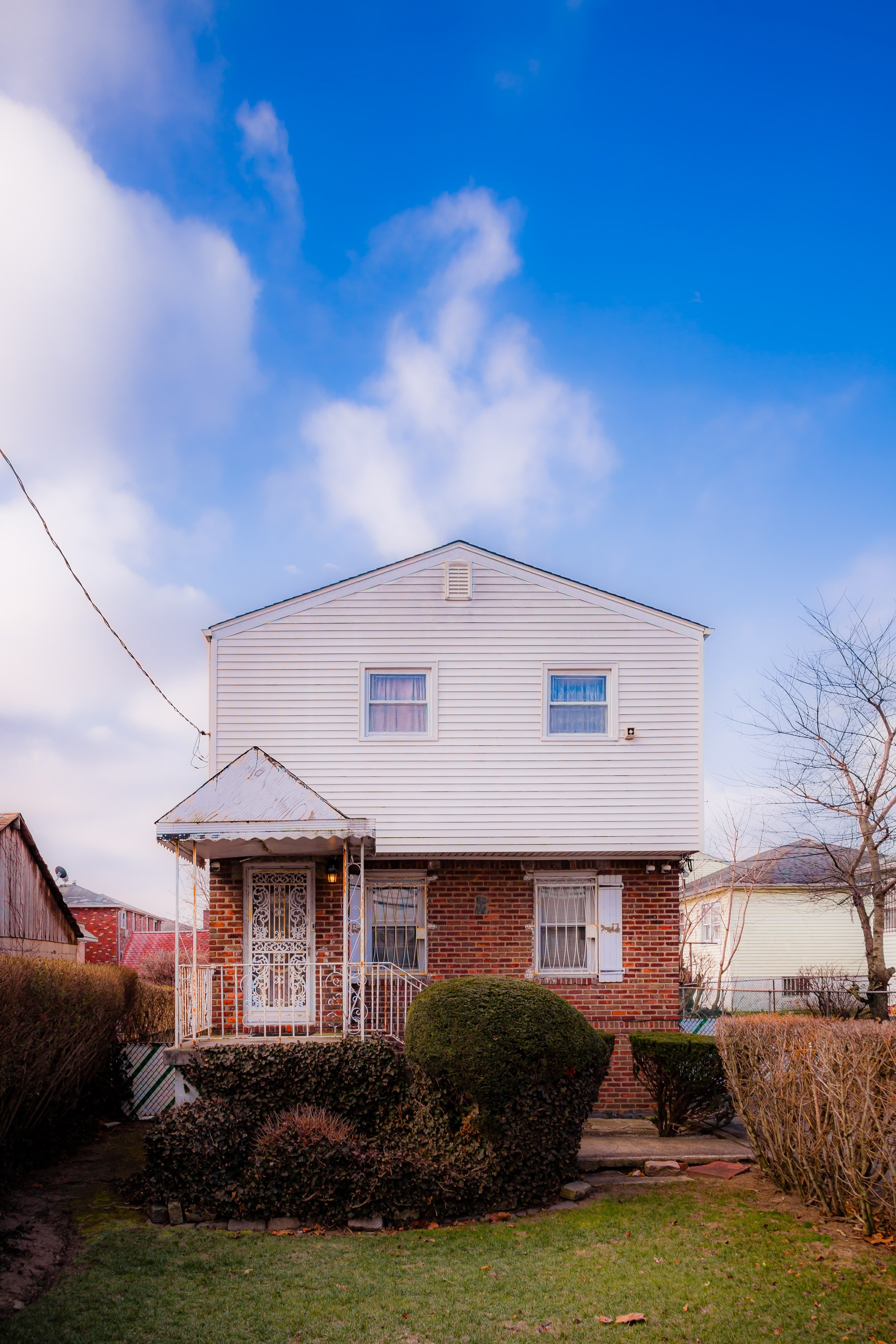
From the 1910s through the 1950s, Springfield Gardens developed into one of Queens’ model suburban communities. Streets were paved, utilities extended, and houses—many in Colonial Revival, Cape Cod, and Tudor styles—were built on generous lots with driveways and lawns. The neighborhood’s layout reflected the influence of the garden-suburb ideal, emphasizing air, light, and green space.
During the 1920s and 1930s, families of European descent—predominantly Irish, Italian, and Jewish—settled here, drawn by affordable homeownership and the sense of space unavailable in denser boroughs. The construction of the Belt Parkway (1930s–1940s) and improved roadways like Farmers Boulevard and Merrick Boulevard further connected Springfield Gardens to the broader city.
The community’s social infrastructure flourished during these decades: Springfield Gardens High School (opened 1965) would later serve generations of local youth, while churches such as Grace United Methodist, St. Peter’s Episcopal, and St. Mary Magdalene Catholic Church anchored civic life.
By the postwar years, Springfield Gardens had achieved its defining identity—a low-rise, middle-class neighborhood of homeowners, set apart by its lawns, quiet streets, and strong community networks.
Mid–Late 20th Century: Demographic Shifts and Civic Strength
Beginning in the 1960s, Springfield Gardens underwent a significant demographic transition as African-American families from Harlem, Brooklyn, and other parts of Queens began purchasing homes in large numbers. The neighborhood became a locus of Black middle-class migration—a suburban enclave where educators, civil servants, and small business owners could raise families in stability and pride.
Despite redlining and disinvestment elsewhere, Springfield Gardens remained resilient. Its high rate of homeownership and active civic associations—such as the Springfield Gardens Civic Association, founded mid-century—helped maintain property values and community standards through decades of urban change.
In the 1970s and 1980s, new arrivals from the Caribbean, particularly Jamaica, Trinidad and Tobago, Barbados, and Grenada, brought fresh cultural life to the area. Small West Indian groceries, bakeries, and restaurants appeared along Farmers Boulevard and Merrick Boulevard, blending seamlessly with long-established businesses. Churches expanded and new ones were founded, reflecting the diversity of faith traditions, from Baptist and Pentecostal congregations to Seventh-day Adventist and Non-Denominational fellowships.
During this period, Springfield Gardens solidified its reputation as a bastion of Black homeownership and community stability, a place where neighbors knew each other by name and where civic pride was measured not in wealth but in continuity.
Springfield Gardens Photographic Video
21st Century: Continuity, Diversity, and Green Renewal
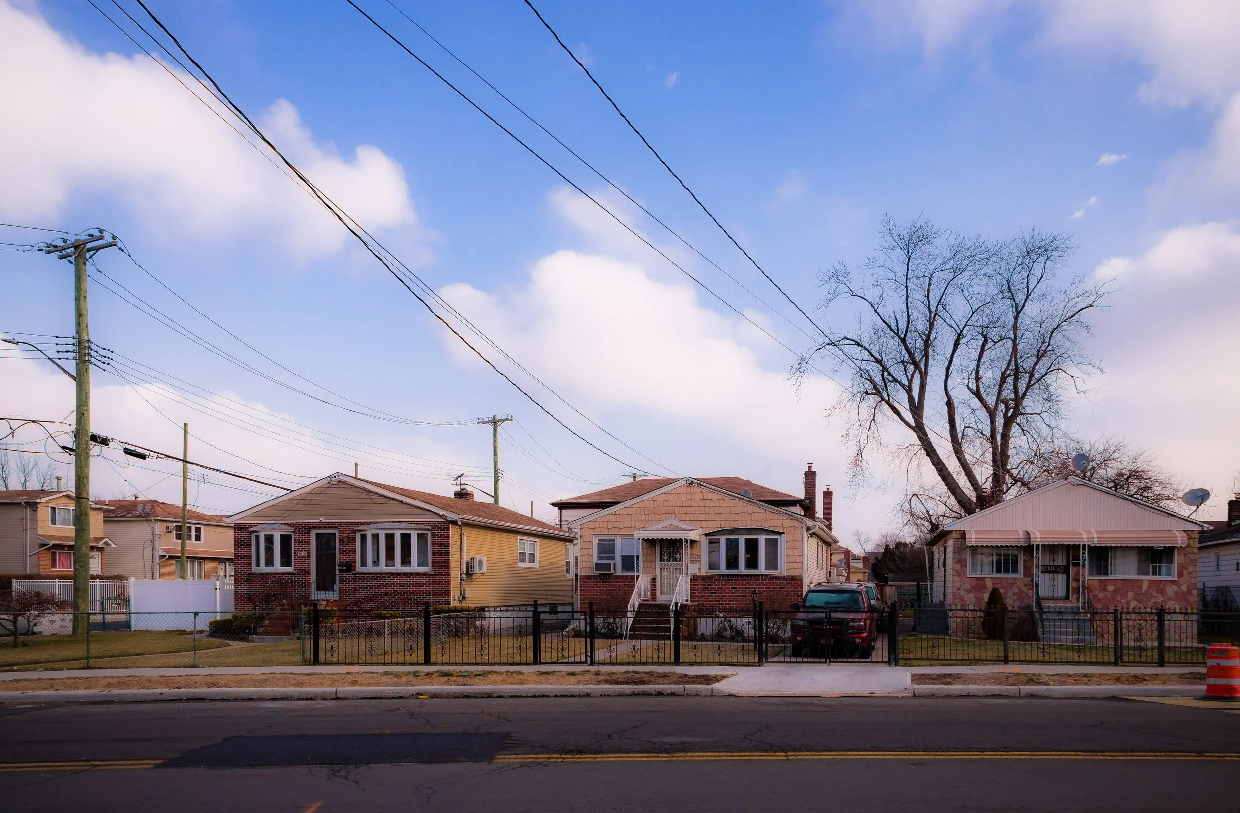
Today, Springfield Gardens remains one of southeastern Queens’ most peaceful and well-established neighborhoods—a community defined by its stability, diversity, and green character. Its population reflects multiple generations of African-American, Caribbean-American, and West African families, joined by newcomers from South Asia and Latin America, who continue the area’s tradition of homeownership and civic engagement.
Residential streets retain their suburban calm, with manicured lawns and mature shade trees giving the neighborhood an almost Long Island feel. Brookville Park, stretching along the southeastern edge, serves as both natural buffer and social hub—its ponds, ballfields, and walking trails hosting everything from family picnics to youth sports. The park’s wetland restoration projects and greenway connections have reawakened the neighborhood’s relationship with its natural landscape, a reminder of the springs and fields that once defined it.
Farmers Boulevard and Springfield Boulevard continue to serve as vital commercial and cultural arteries, offering everything from barber shops and roti houses to modern cafés and small professional offices. Local schools and civic groups remain deeply involved in youth programs, environmental stewardship, and neighborhood beautification.
While proximity to JFK Airport brings noise and traffic challenges, ongoing city investment in soundproofing, infrastructure, and flood management has improved quality of life. Through it all, Springfield Gardens endures as a symbol of quiet success—a testament to the strength of Queens’ outer-ring communities.
Springfield Gardens Photo Gallery
Spirit and Legacy
The spirit of Springfield Gardens lies in its steadfast commitment to home, community, and growth. It is a place where front porches double as gathering spaces, where block parties stretch into the evening, and where families take pride in lawns planted by grandparents decades earlier.
New York City
Use this custom Google map to explore where every neighborhood in all five boroughs of New York City is located.
The Five Boroughs
One of New York City’s unique qualities is its organization in to 5 boroughs: Manhattan, Brooklyn, Queens, The Bronx, and Staten Island. These boroughs are part pragmatic administrative districts, and part vestiges of the region’s past. Each borough is an entire county in New York State - in fact, Brooklyn is, officially, Kings County, while Staten Island is, officially Richmond County. But that’s not the whole story …
Initially, New York City was located on the southern tip of Manhattan (now the Financial District) that was once the Dutch colony of New Amsterdam. Across the East River, another city was rising: Brooklyn. In time, the city planners realized that unification between the rapidly rising cities would create commercial and industrial opportunities - through streamlined administration of the region.
So powerful was the pull of unification between New York and Brooklyn that three more counties were pulled into the unification: The Bronx, Queens, and Staten Island. And on January 1, 1898, the City of New York unified two cities and three counties into one Greater City of New York - containing the five boroughs we know today.
But because each borough developed differently and distinctly until unification, their neighborhoods likewise uniquely developed. Today, there are nearly 390 neighborhoods, each with their own histories, cultures, cuisines, and personalities - and each with residents who are fiercely proud of their corner of The Big Apple.


