POMONOK
Queens
Geographic Setting
Bounded by the Long Island Expressway (LIE) to the north, 164th Street to the east, 73rd Avenue to the south, and Kissena Boulevard to the southwest and west, Pomonok lies in the heart of central Queens—an enclave defined by its mid-20th-century housing developments, leafy streets, and proximity to both Kissena Park and Queens College. Nestled between Flushing, Kew Gardens Hills, and Fresh Meadows, the neighborhood occupies a gentle rise within the old glacial plain of Long Island, where low-rise apartment complexes and red-brick co-ops coexist with tree-lined avenues and open green courtyards.
The area’s geography combines the density of the urban grid with the spaciousness of suburban planning. Jewel Avenue and Parsons Boulevard form its internal arteries, lined with schools, playgrounds, and community centers. To the west, the open lawns and ponds of Kissena Park provide a natural buffer and a direct connection to the borough’s larger park system. To the south, 73rd Avenue marks a transition toward the single-family homes of Kew Gardens Hills, while to the east, 164th Street connects Pomonok to the institutional core of Queens College and the bustling commercial corridors of Flushing.
Pomonok’s character today reflects its origins as a mid-century experiment in urban community-building—a diverse, stable, and tightly woven neighborhood whose daily rhythms remain grounded in family life, education, and civic participation.
Etymology and Origins
The name “Pomonok” derives from a word used by the Lenape people, the region’s original inhabitants, meaning “land of tribute” or “tribute land.” The term was later adopted by colonial settlers to refer broadly to Long Island—Paumanok being the island’s ancient Algonquian name. When modern developers and city planners sought to name this section of Queens in the early 20th century, they revived the indigenous word in its anglicized form, “Pomonok,” to evoke the area’s deep precolonial heritage.
Before its urbanization, the land was part of the Town of Flushing’s agricultural belt, dotted with small farms, orchards, and nurseries that extended eastward toward Fresh Meadows. The soil’s fertility and proximity to the Flushing River basin made it ideal for cultivation, and through the 19th century it supplied produce to the markets of Jamaica and Brooklyn.
By the 1930s, as Queens became increasingly connected to Manhattan via the Queensboro Bridge and Grand Central Parkway, this once-rural area was slated for housing. The city’s Department of Housing Authority selected the site for one of its most ambitious mid-century projects—a planned development intended to provide modern, affordable homes in park-like surroundings for working-class families.
The Neighborhood
Mid-20th Century: The Pomonok Houses and Planned Community Life
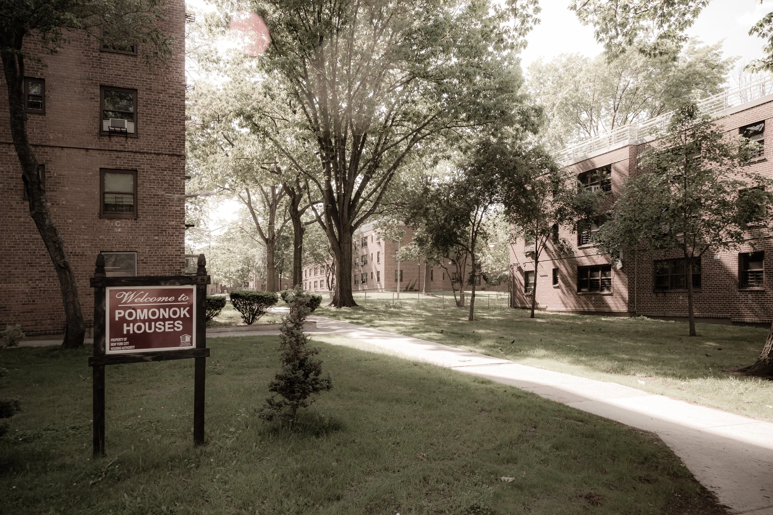
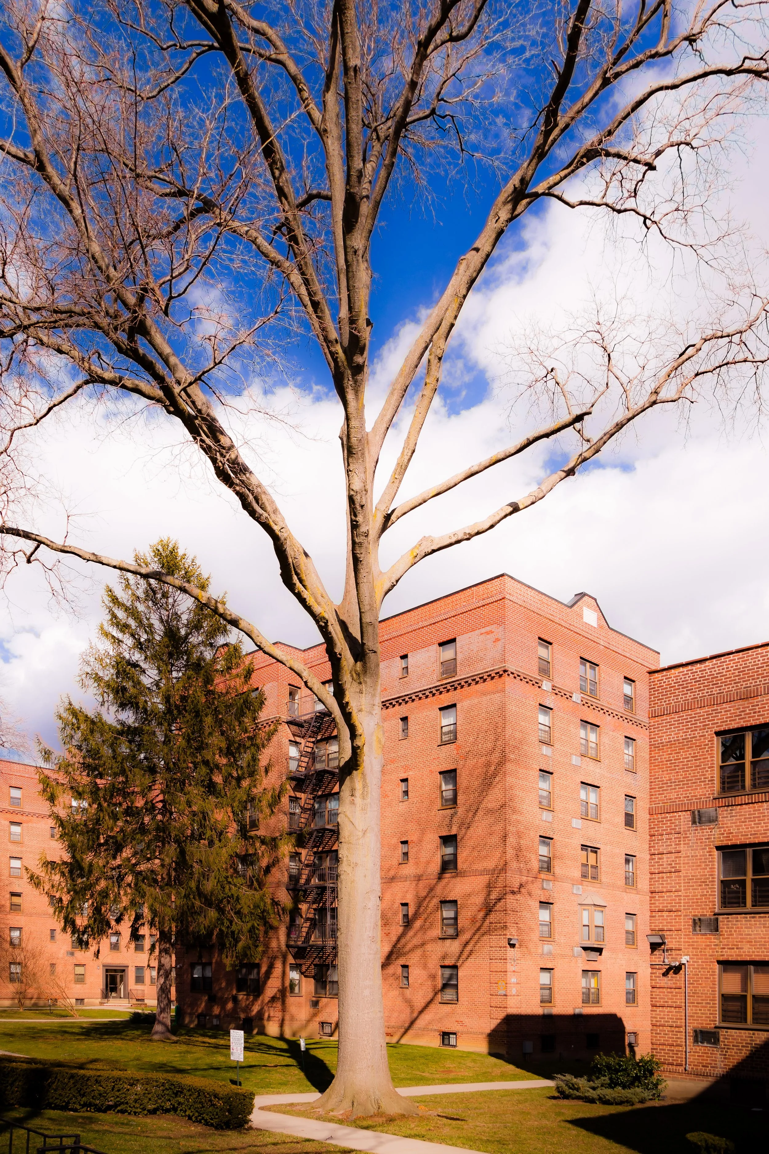
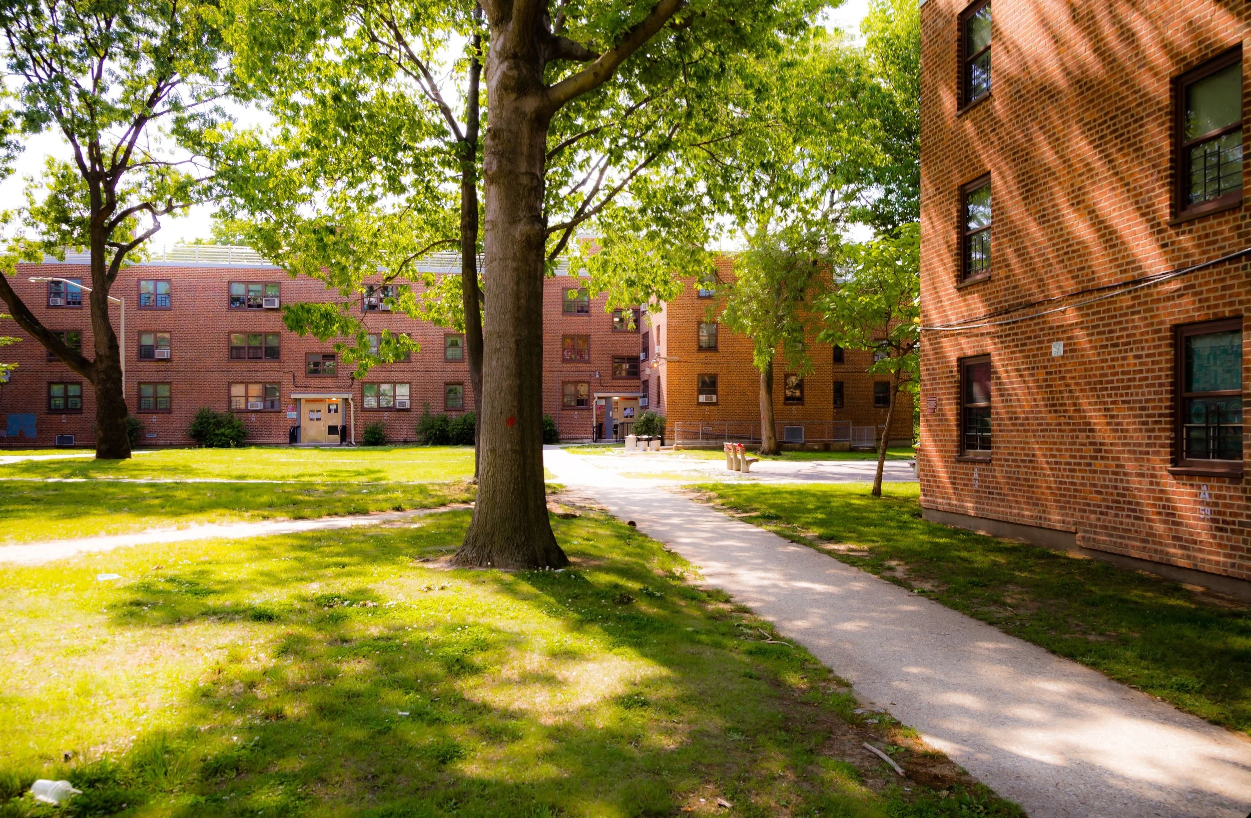
The defining moment in Pomonok’s history came with the construction of the Pomonok Houses, completed in 1949 by the New York City Housing Authority (NYCHA). Spanning over 50 acres between Kissena Boulevard, 164th Street, and Jewel Avenue, the complex was designed as a “city within a park,” comprising 35 red-brick buildings ranging from two to eight stories, set amid lawns, playgrounds, and pedestrian walkways.
Built in the postwar spirit of optimism and social planning, the Pomonok Houses embodied the era’s belief in public housing as a path to stability and civic progress. The apartments were reserved for working- and lower-middle-class families, many of them veterans returning from World War II. Early residents represented a cross-section of New York’s ethnic mosaic—Jewish, Irish, Italian, and later African-American families—who formed a cohesive community bound by shared public space and pride in modern, well-maintained surroundings.
Community amenities included schools (P.S. 201, I.S. 250), a library branch, and youth recreation programs that became neighborhood institutions. Local businesses—delis, bakeries, laundromats, and diners—sprang up along Kissena and Parsons Boulevards, serving residents who viewed the complex not as temporary housing but as a permanent home.
To the west, Kissena Park offered open space for recreation, while the newly established Queens College (opened 1937) lent the area an intellectual and cultural dimension. Students and faculty frequently lived in or near Pomonok, linking the neighborhood’s working-class roots to the borough’s academic aspirations.
Late 20th Century: Diversity, Resilience, and Urban Change
By the 1970s, Pomonok reflected the broader changes sweeping across New York City. As the city’s demographics shifted, the neighborhood became increasingly diverse, welcoming African-American, Puerto Rican, Caribbean, and later Asian-American families. The Pomonok Houses—like many NYCHA complexes—faced challenges of maintenance and underfunding, yet the community’s core institutions remained strong.
During this period, civic associations and tenant councils played a vital role in maintaining quality of life. The Pomonok Tenants Association, founded in the 1960s, became one of NYCHA’s most active resident organizations, advocating for repairs, playground improvements, and safety initiatives. Local schools partnered with Queens College for enrichment programs, and neighborhood groups hosted block parties and cultural festivals celebrating the area’s diversity.
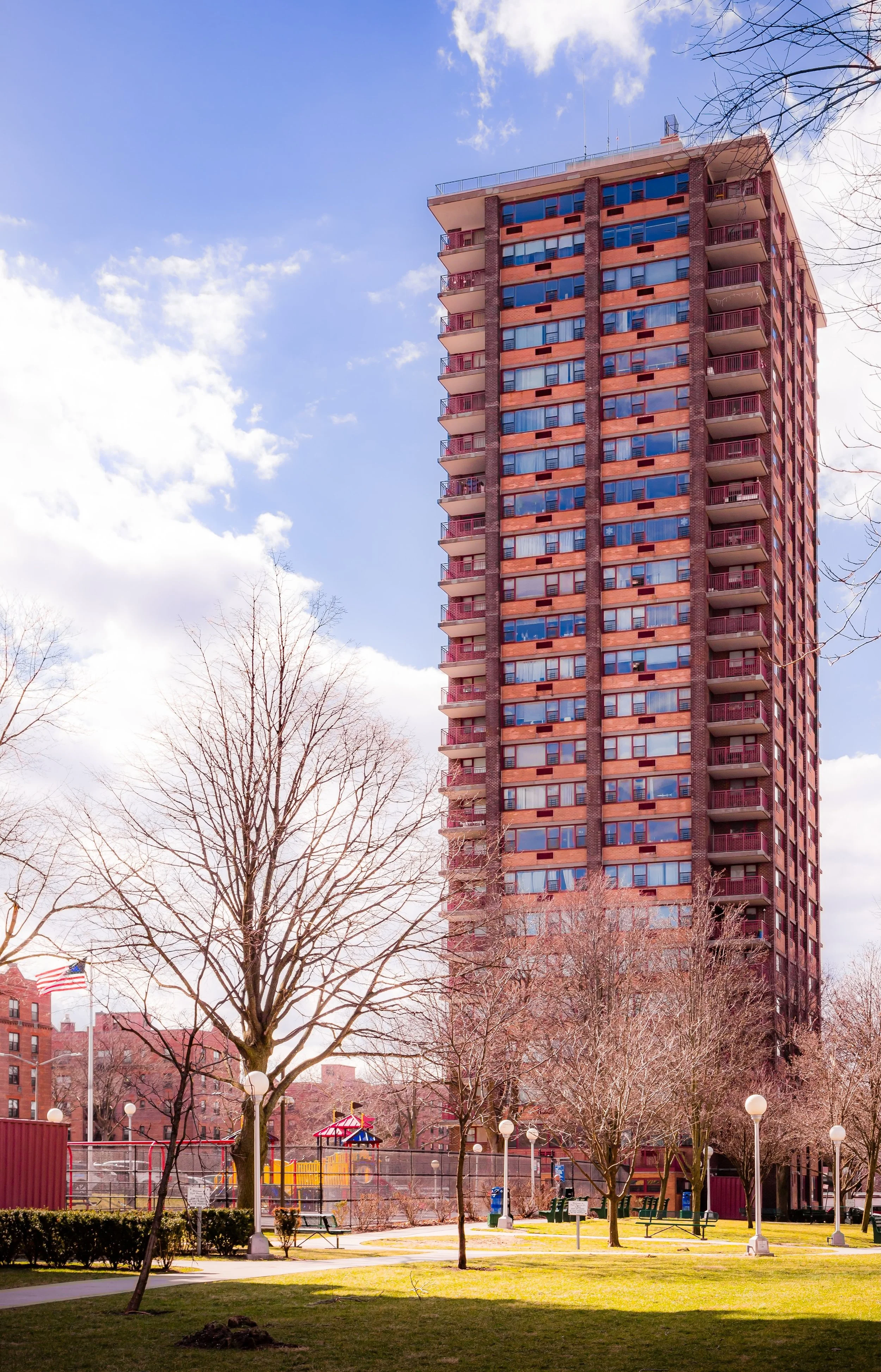
Surrounding the housing complex, smaller co-op and condo developments—such as Pomonok Gardens and Parkway Village—added to the neighborhood’s middle-class stability. The latter, originally built in 1947 to house United Nations employees, became one of the first racially integrated housing communities in the United States and a model of progressive urban planning.
By the 1980s and 1990s, Pomonok had achieved a rare balance: a neighborhood that was both economically accessible and socially cohesive, where generations of families grew up together and newcomers were welcomed into its fabric.
Pomonok Video Coming Soon
21st Century: Renewal, Diversity, and Everyday Vitality
In the 21st century, Pomonok remains a microcosm of Queens itself—deeply diverse, stable, and defined by a sense of community continuity. Its population includes Jewish-American, Caribbean-American, South Asian, East Asian, and Latino families, all sharing a landscape shaped by the city’s postwar planning ideals.
Efforts to revitalize the Pomonok Houses and surrounding developments have brought infrastructure upgrades, new playgrounds, and energy-efficient retrofits. Community centers now host after-school programs, senior activities, and interfaith gatherings. The area’s proximity to Kissena Park, Queens College, and the Long Island Expressway continues to make it one of the most conveniently located neighborhoods in central Queens—accessible yet tucked away from the city’s bustle.
Small businesses along Kissena Boulevard and Parsons Boulevard reflect the neighborhood’s global character: kosher bakeries beside Caribbean takeout counters, halal markets next to pizzerias and Korean cafés. P.S. 201 and I.S. 250 remain local anchors, while nearby Francis Lewis High School serves many Pomonok students.
The rhythm of daily life—children playing in courtyards, families picnicking in Kissena Park, elders chatting on benches—has changed little since the 1950s, even as the faces of the community have.
Pomonok Photo Gallery
Spirit and Legacy
Pomonok’s spirit lies in its human scale and collective endurance. Designed as a democratic experiment in urban living, it has evolved into a living testament to Queens’ inclusivity and adaptability. Where other mid-century housing projects faltered, Pomonok has thrived through the strength of its residents, the stability of its schools, and its enduring connection to green space and civic life.
New York City
Use this custom Google map to explore where every neighborhood in all five boroughs of New York City is located.
The Five Boroughs
One of New York City’s unique qualities is its organization in to 5 boroughs: Manhattan, Brooklyn, Queens, The Bronx, and Staten Island. These boroughs are part pragmatic administrative districts, and part vestiges of the region’s past. Each borough is an entire county in New York State - in fact, Brooklyn is, officially, Kings County, while Staten Island is, officially Richmond County. But that’s not the whole story …
Initially, New York City was located on the southern tip of Manhattan (now the Financial District) that was once the Dutch colony of New Amsterdam. Across the East River, another city was rising: Brooklyn. In time, the city planners realized that unification between the rapidly rising cities would create commercial and industrial opportunities - through streamlined administration of the region.
So powerful was the pull of unification between New York and Brooklyn that three more counties were pulled into the unification: The Bronx, Queens, and Staten Island. And on January 1, 1898, the City of New York unified two cities and three counties into one Greater City of New York - containing the five boroughs we know today.
But because each borough developed differently and distinctly until unification, their neighborhoods likewise uniquely developed. Today, there are nearly 390 neighborhoods, each with their own histories, cultures, cuisines, and personalities - and each with residents who are fiercely proud of their corner of The Big Apple.


