BULL’S HEAD
Staten Island
Geographic Setting
Bounded by Felton Street and Graham Avenue to the west, the Staten Island Expressway to the north, Willowbrook Park and the intersections of Victory Boulevard and Richmond Avenue to the east, and the rising meadows of Freshkills Park to the southwest, Bull’s Head sits near the literal and figurative crossroads of Staten Island. It occupies a central-western position where several of the island’s great arteries—Victory Boulevard, Richmond Avenue, and Willowbrook Road—converge, forming a vibrant hub between the island’s suburban residential zones and its vast greenbelt of reclaimed parkland.
The landscape here undulates gently from the wooded ridges near Willowbrook Park down toward the lowlands that once fed into the Fresh Kills estuary. Today, Bull’s Head is a quintessentially Staten Island blend: part suburban neighborhood, part commercial district, and part ecological frontier. Compact blocks of single-family homes stand alongside shopping centers and schools, while the western horizon opens into the evolving wilderness of Freshkills Park, a 2,200-acre transformation of the former landfill into one of New York City’s largest urban nature preserves. From the air, Bull’s Head appears as a hinge—linking the dense residential north to the open spaces of the island’s south and west.
Etymology
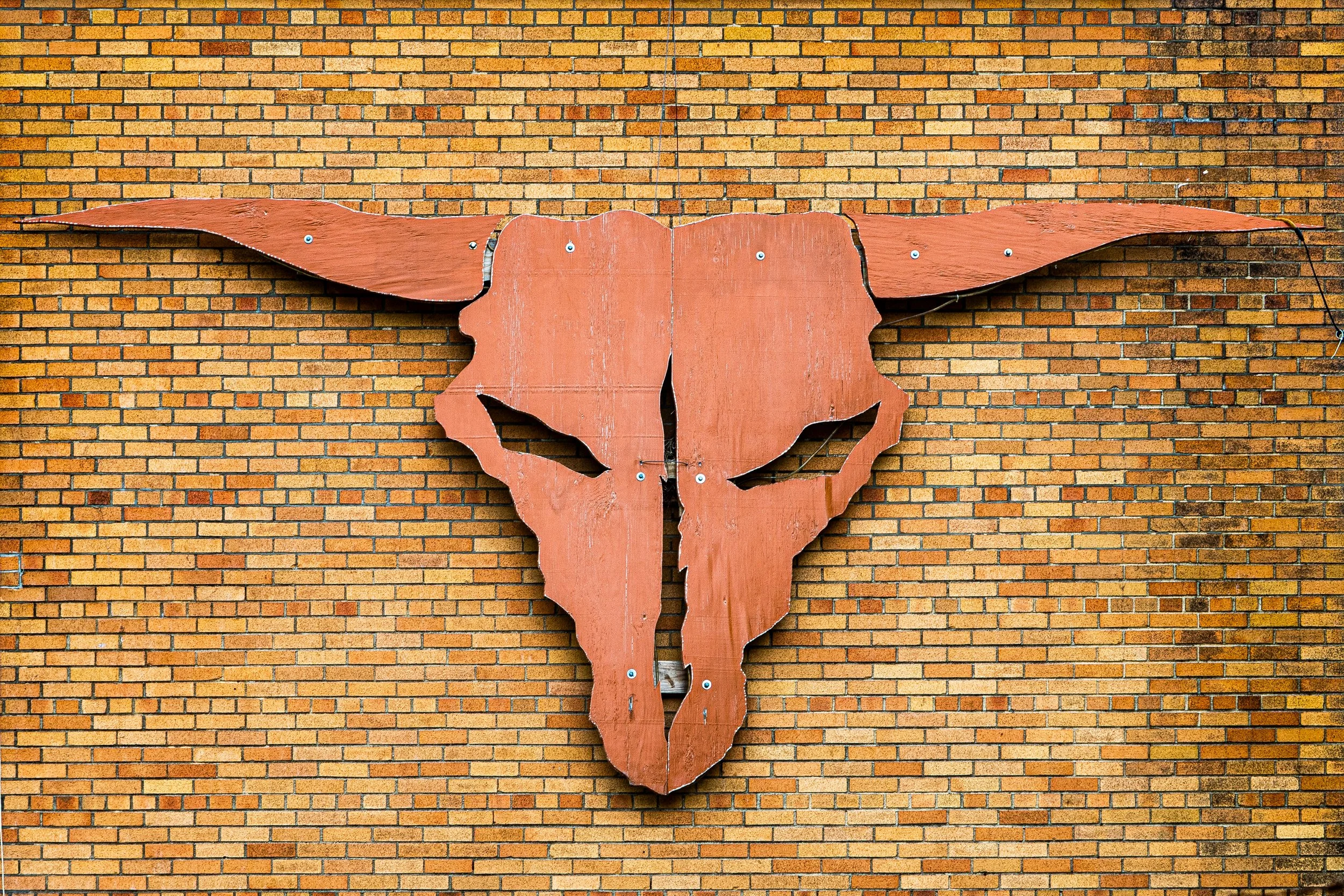
The name Bull’s Head dates back to the late 18th century, derived from the Bull’s Head Tavern, an inn and meeting point that stood at the crossroads of Richmond Avenue and Victory Boulevard—a location that has remained the symbolic heart of the neighborhood for more than two centuries. Taverns in early Staten Island often served as stagecoach stops and local landmarks, and the Bull’s Head Inn became a familiar reference for travelers journeying between Port Richmond, Richmondtown, and the ferry landings. The name likely referenced the inn’s signboard—a painted bull’s head—drawing on the agricultural imagery of the island’s pastoral economy.
Over time, the inn disappeared, but the name endured, outlasting farms, fields, and even the roads’ earliest alignments. Today, Bull’s Head stands as one of the few Staten Island neighborhoods whose name preserves a tangible echo of colonial wayfaring life.
The Neighborhood
Origins through the 19th Century
In the 18th and 19th centuries, Bull’s Head formed part of the inland countryside of Northfield Township, an agricultural district between the harborfront towns of Port Richmond and the upland hamlets of Richmondtown and Greenridge. The land was a patchwork of family farms, orchards, and woodlots crisscrossed by dirt roads. Victory Boulevard, then known as the Richmond Turnpike, was chartered in 1816 as a toll road connecting the ferry at Tompkinsville to the island’s western shore at Travis. Its construction brought a trickle of commerce and stagecoach travel through the area.
At the intersection with what would become Richmond Avenue, a small tavern and blacksmith shop served passing travelers. This was the Bull’s Head Inn—a modest wooden structure surrounded by pastures and split-rail fences. It became a gathering point for farmers transporting livestock to markets and for teamsters hauling goods across the island.
Through the mid-19th century, the area remained resolutely rural. The Staten Island Expressway and modern subdivisions were more than a century away; in their place were creeks, clay pits, and fields stretching toward the Fresh Kills tidal marshes. Farm families such as the Decker, Simonson, and Housman clans cultivated the land for generations, their names now lingering in nearby street names and cemeteries.
Early 20th Century: The Crossroads Persists
At the turn of the 20th century, Bull’s Head remained a rural crossroad with only scattered homes and a few small industries, including brickyards and dairies that supplied Staten Island’s growing northern towns. The Richmond Turnpike was renamed Victory Boulevard after World War I, symbolizing both modernization and patriotic pride. Automobiles began to replace carriages, and the crossroads saw increased traffic, though the surrounding landscape stayed largely pastoral.
The neighborhood’s transformation began slowly. In the 1920s and 1930s, small clusters of homes appeared along Willowbrook Road and Victory Boulevard, many built by families leaving the denser urban centers of New Brighton and Port Richmond. Electric power and paved roads arrived, and with them came the first wave of suburban ambition. The area’s open land, proximity to the Staten Island Hospital (later Staten Island University Hospital North), and access to major roads made it a natural site for future expansion.
Yet for decades, Bull’s Head retained its rustic character. Old-timers recalled grazing cattle, unpaved lanes, and the smell of hay long after much of Staten Island had begun to suburbanize.
Bull’s Head Video Coming Soon
Mid–Late 20th Century: Suburban Expansion and the Expressway Age
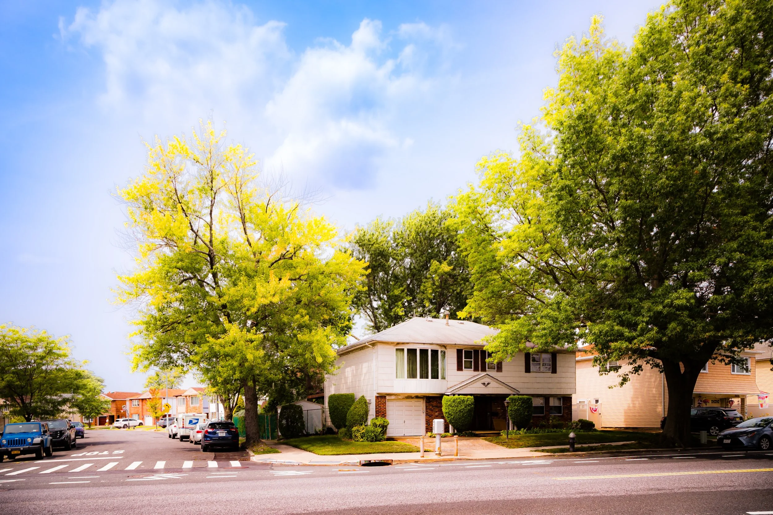
The post–World War II years brought dramatic change to Bull’s Head, as they did to much of Staten Island. The Staten Island Expressway, constructed in the early 1960s, cut across the neighborhood’s northern edge, linking the Goethals and Verrazzano Bridges and turning the once-rural crossroads into a vital junction of the island’s transportation network. The expressway’s completion spurred a wave of residential development: rows of detached homes, townhouses, and small apartment complexes replaced farmland and pastures.
Shopping centers sprang up along Richmond Avenue and Victory Boulevard, reflecting the car-oriented lifestyle of the era. Schools such as I.S. 72 (Ralph J. Ockers Junior High School) opened to serve the influx of young families, while nearby Willowbrook Park—part of the Staten Island Greenbelt—provided playgrounds, ballfields, and wooded trails for recreation.
During the same period, the Fresh Kills Landfill, established just southwest of the neighborhood in 1948, cast a long shadow over Bull’s Head. The landfill’s trucks and odors became a fact of life for decades, yet residents adapted, cultivating strong civic pride and advocating for the eventual reclamation of the site. By the 1970s, Bull’s Head had solidified its identity as a stable, predominantly middle-class community—conveniently located, tightly knit, and quietly resilient amid the island’s rapid suburbanization.
21st Century: Green Renewal and Central Vitality
In the 21st century, Bull’s Head finds itself at the heart of Staten Island’s renewal. To its southwest, the monumental transformation of the Freshkills Landfill into Freshkills Park has redefined the neighborhood’s horizon. What was once a landscape of refuse has become rolling meadows, restored wetlands, and a symbol of ecological rebirth. Residents now enjoy views of grass-covered hills and migrating birds where garbage mounds once stood, and new park entrances along Richmond Avenue and Muldoon Avenue have begun to connect Bull’s Head directly to this evolving natural reserve.
To the east, Willowbrook Park—part of the Staten Island Greenbelt system—anchors the neighborhood in greenery, while Victory Boulevard remains its commercial spine, lined with restaurants, offices, and locally owned shops. The area’s proximity to the College of Staten Island, the West Shore Expressway, and the Staten Island Expressway has also reinforced its importance as a logistical and residential center.
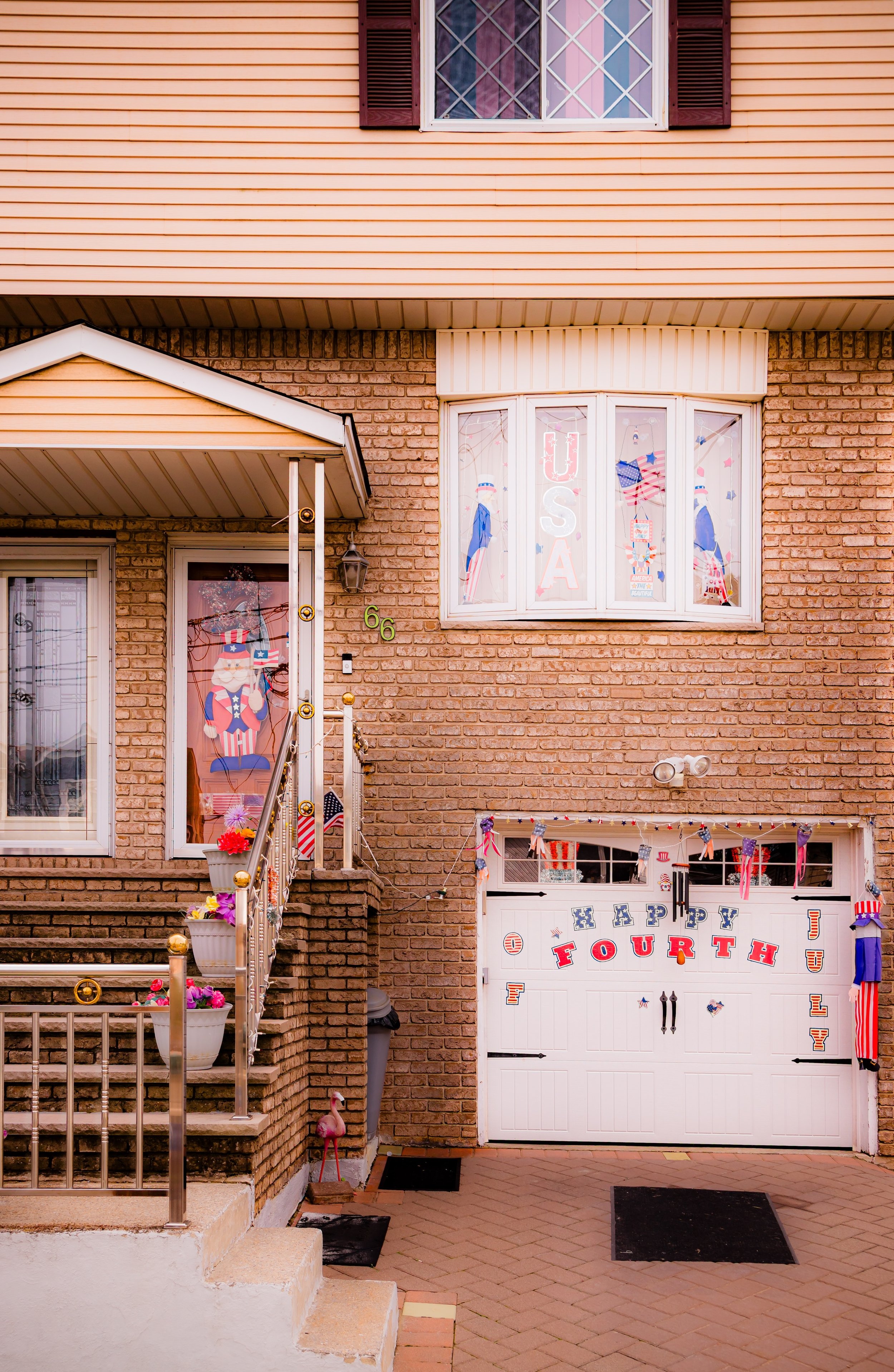
Demographically, Bull’s Head reflects Staten Island’s growing diversity, with long-established Italian-American families joined by newcomers from across the city and globe. Housing remains largely low-rise and residential, maintaining the neighborhood’s suburban feel even as commerce and infrastructure modernize around it.
Bull’s Head Photo Gallery
Spirit and Legacy
Bull’s Head’s spirit is rooted in its identity as Staten Island’s crossroads—a place defined by connection and continuity. From a colonial tavern to a modern commuter hub, the neighborhood has always stood at the meeting point of routes and eras. Its name recalls the island’s agricultural beginnings; its geography reflects the suburban transformation of the 20th century; its future is bound to the environmental rebirth of Freshkills Park and the stewardship of the Greenbelt.
What makes Bull’s Head special is not grandeur but balance: it is a neighborhood where everyday life unfolds in proximity to vast parks and vital highways, where history lingers at the corner of Victory and Richmond, and where families continue to put down roots on streets that once led only to pasture and sky.
New York City
Use this custom Google map to explore where every neighborhood in all five boroughs of New York City is located.
The Five Boroughs
One of New York City’s unique qualities is its organization in to 5 boroughs: Manhattan, Brooklyn, Queens, The Bronx, and Staten Island. These boroughs are part pragmatic administrative districts, and part vestiges of the region’s past. Each borough is an entire county in New York State - in fact, Brooklyn is, officially, Kings County, while Staten Island is, officially Richmond County. But that’s not the whole story …
Initially, New York City was located on the southern tip of Manhattan (now the Financial District) that was once the Dutch colony of New Amsterdam. Across the East River, another city was rising: Brooklyn. In time, the city planners realized that unification between the rapidly rising cities would create commercial and industrial opportunities - through streamlined administration of the region.
So powerful was the pull of unification between New York and Brooklyn that three more counties were pulled into the unification: The Bronx, Queens, and Staten Island. And on January 1, 1898, the City of New York unified two cities and three counties into one Greater City of New York - containing the five boroughs we know today.
But because each borough developed differently and distinctly until unification, their neighborhoods likewise uniquely developed. Today, there are nearly 390 neighborhoods, each with their own histories, cultures, cuisines, and personalities - and each with residents who are fiercely proud of their corner of The Big Apple.


