
BEECHHURST
Queens
Geographic Setting
Bounded by the Cross Island Parkway to the south, 154th Street to the west, the East River to the north, and Little Bay to the east, Beechhurst forms the northernmost edge of Whitestone—an elegant, water-wrapped enclave at the far northeastern tip of Queens. The neighborhood’s defining feature is its maritime setting: to the north, the East River widens toward the Long Island Sound; to the east, Little Bay curves beneath the span of the Throgs Neck Bridge; and to the west, the shoreline looks out across the Bronx-Whitestone Bridge toward the Bronx mainland. This commanding geography gives Beechhurst a sense of calm grandeur—its streets gently descending toward the water, its homes bathed in sea light and the rhythm of passing tides.
The area’s residential core is threaded by 154th Street, 162nd Street, and Powell’s Cove Boulevard, which follows the contours of the riverfront and offers some of the borough’s most panoramic views. Detached single-family homes, stately co-ops, and modern condominium towers coexist here amid manicured lawns and quiet cul-de-sacs. The Cross Island Parkway and 14th Avenue provide primary vehicular access, while the nearby Whitestone Expressway and Throgs Neck Bridge connect residents quickly to the Bronx, Manhattan, and Long Island. Despite this connectivity, Beechhurst maintains a distinctly secluded atmosphere—a maritime village within New York City’s bounds.
Etymology and Origins
The name “Beechhurst” was coined around 1908 by early developers seeking to evoke both natural beauty and refinement. “Beech” referred to the abundance of beech trees that once lined the shoreline and inland meadows; “hurst,” an Old English term for a wooded hill or grove, lent the name an air of cultivated English pastoralism. The area was originally part of the Town of Flushing, settled in the 1640s by English colonists under Dutch authority. For over two centuries, it remained largely agricultural—composed of tidal marshes, meadows, and modest farms owned by families such as the Lawrences, Cornells, and Whitestones.
By the late 19th century, the expansion of rail and ferry service to northern Queens opened the area to summer visitors from Manhattan. Developers began subdividing waterfront estates into villa lots, advertising Beechhurst as an exclusive resort district with “sea breezes and serenity within sight of the city.” Early 20th-century brochures promised “a country home by the Sound,” attracting professionals and entertainers drawn to its seclusion and views.
The Neighborhood
Early 20th Century: From Rural Edge to Resort Enclave
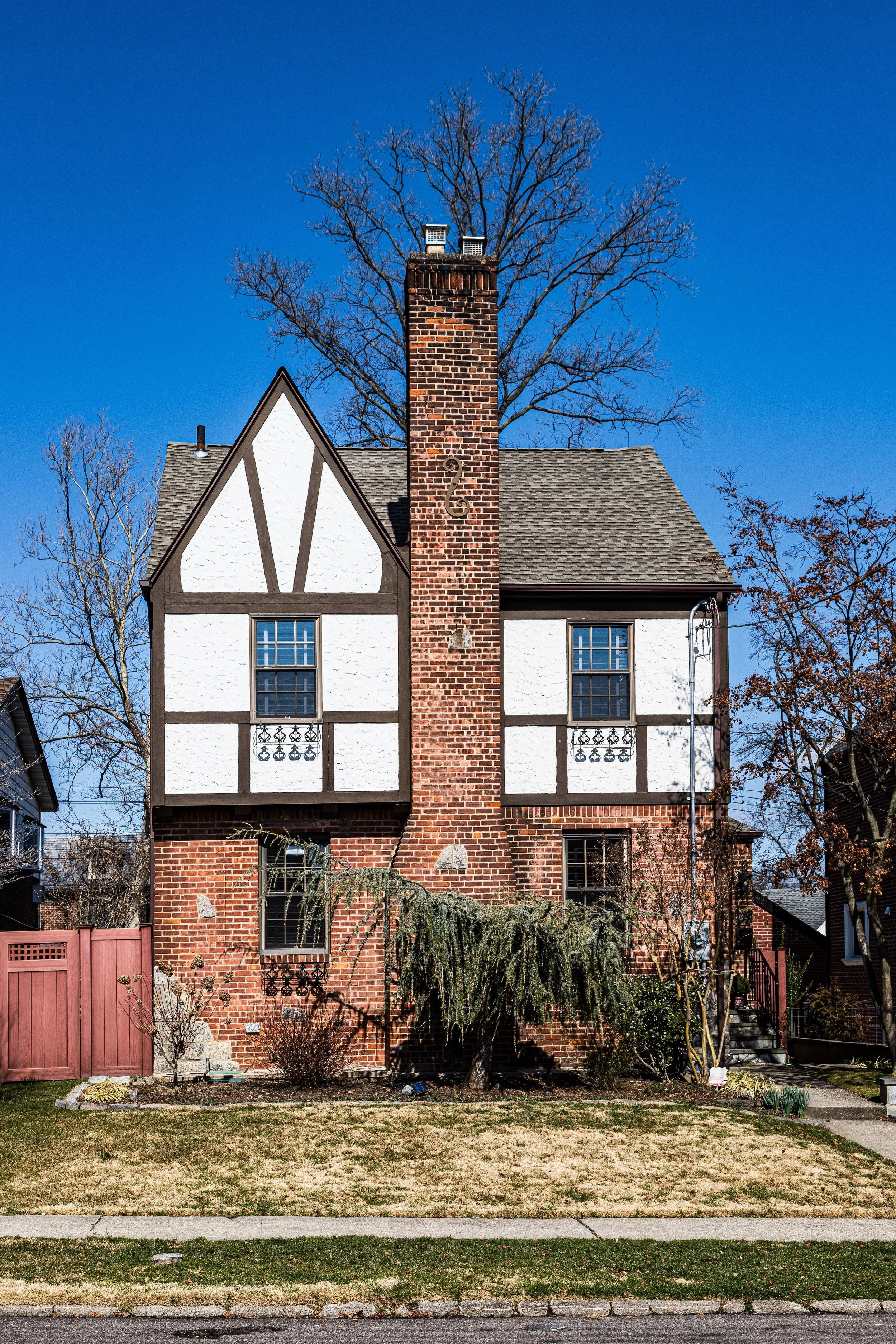
In the 1910s–1920s, Beechhurst emerged as one of New York’s most fashionable summer communities. Elegant hotels and clubs, including the Beechhurst Yacht Club and the famed Whitestone Landing Hotel, drew affluent guests from Manhattan seeking seaside recreation. Many of the neighborhood’s earliest homes were large, architect-designed residences overlooking the East River, built in Colonial Revival and Mediterranean styles.
The Whitestone Branch of the Long Island Rail Road (discontinued in 1932) once served the area, connecting it to Flushing and Long Island City. With rail and ferry access, Beechhurst became a favorite weekend refuge for artists, actors, and early film personalities. Silent-era stars and vaudeville performers, including W.C. Fields, Mary Pickford, and Al Jolson, were known to visit or reside nearby, adding a touch of glamour to the shoreline. During this period, boating, tennis, and open-air dining defined local leisure culture, and the neighborhood’s yacht clubs hosted regattas and social events that became fixtures of Queens’ maritime life.
Mid–20th Century: Suburbanization and Waterfront Transformation
By the 1930s and 1940s, Beechhurst transitioned from a resort enclave to a year-round residential community. The construction of the Whitestone Bridge (1939) and Cross Island Parkway (1940) transformed the area’s accessibility, linking Queens directly to the Bronx and Westchester. The improved infrastructure brought a wave of suburban-style development: modest single-family homes and two-story brick houses filled the interior streets, while larger waterfront estates were subdivided into smaller plots.
The neighborhood’s transformation coincided with broader postwar trends across Queens. Returning veterans and young families were drawn by the promise of tranquility, water views, and proximity to the city. The Beechhurst Towers, a stately Art Deco co-op complex completed in the late 1930s, became a neighborhood landmark—its landscaped grounds and river-facing balconies representing modern luxury in a coastal setting.
While much of northern Queens urbanized rapidly, Beechhurst retained a more controlled, residential tone, thanks in part to civic activism and strict zoning. The waterfront remained largely residential, interrupted only by small marinas and parks. The city’s acquisition of Little Bay Park and Fort Totten Park in the mid-20th century preserved vast tracts of open space immediately east and south of the neighborhood, ensuring that Beechhurst would remain buffered by greenery and shoreline.
Beechhurst Video Coming Soon
Late 20th Century: Prestige, Preservation, and Identity
Through the 1960s–1990s, Beechhurst stood as one of Queens’ most stable and affluent enclaves. Many of the original early 20th-century estates were replaced with mid-century brick Colonials or split-levels, yet the area retained its low-rise, spacious character. Co-ops and condominium developments along Powell’s Cove Boulevard, such as the LeHavre on the Water complex (built in the 1950s–60s), redefined luxury living for a new era—offering panoramic views, landscaped courtyards, and amenities like pools and tennis courts.
The community’s identity remained tied to its waterfront location. Yacht clubs, marinas, and promenade paths along Little Bay and the East River became fixtures of neighborhood life. The Clearview Park Golf Course to the south and the proximity of Fort Totten Park further reinforced the sense of green insulation. During these decades, Beechhurst’s population diversified gradually, with Italian-American, Greek, Jewish, and later Asian-American families all contributing to its evolving cultural fabric.
Despite these demographic changes, the neighborhood maintained a consistent standard of care and prestige. Local civic associations organized beautification efforts and lobbied to maintain zoning that limited overdevelopment. Beechhurst’s defining atmosphere—serene, maritime, and well-kept—remained remarkably intact.
21st Century: Waterfront Renewal and Enduring Exclusivity
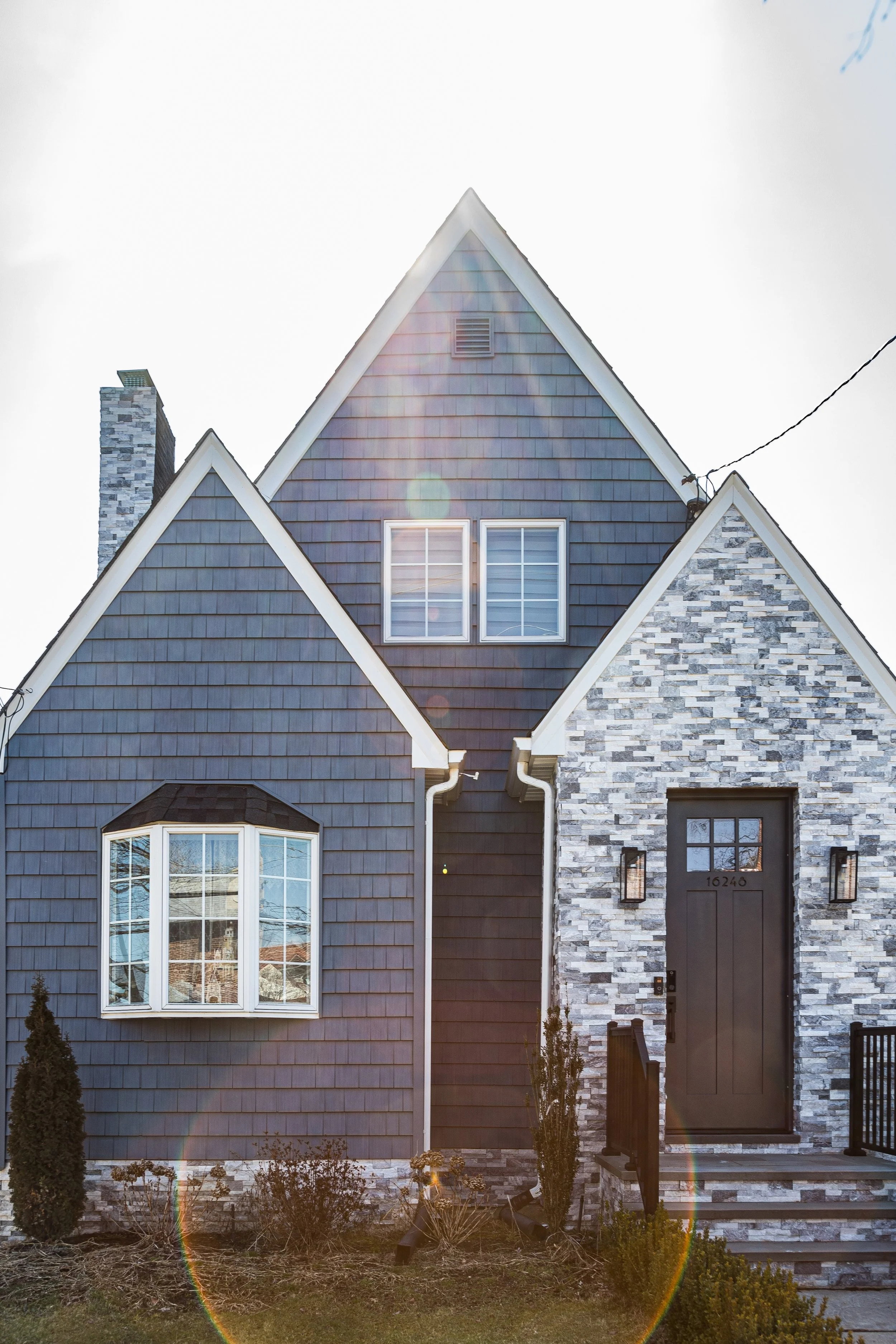
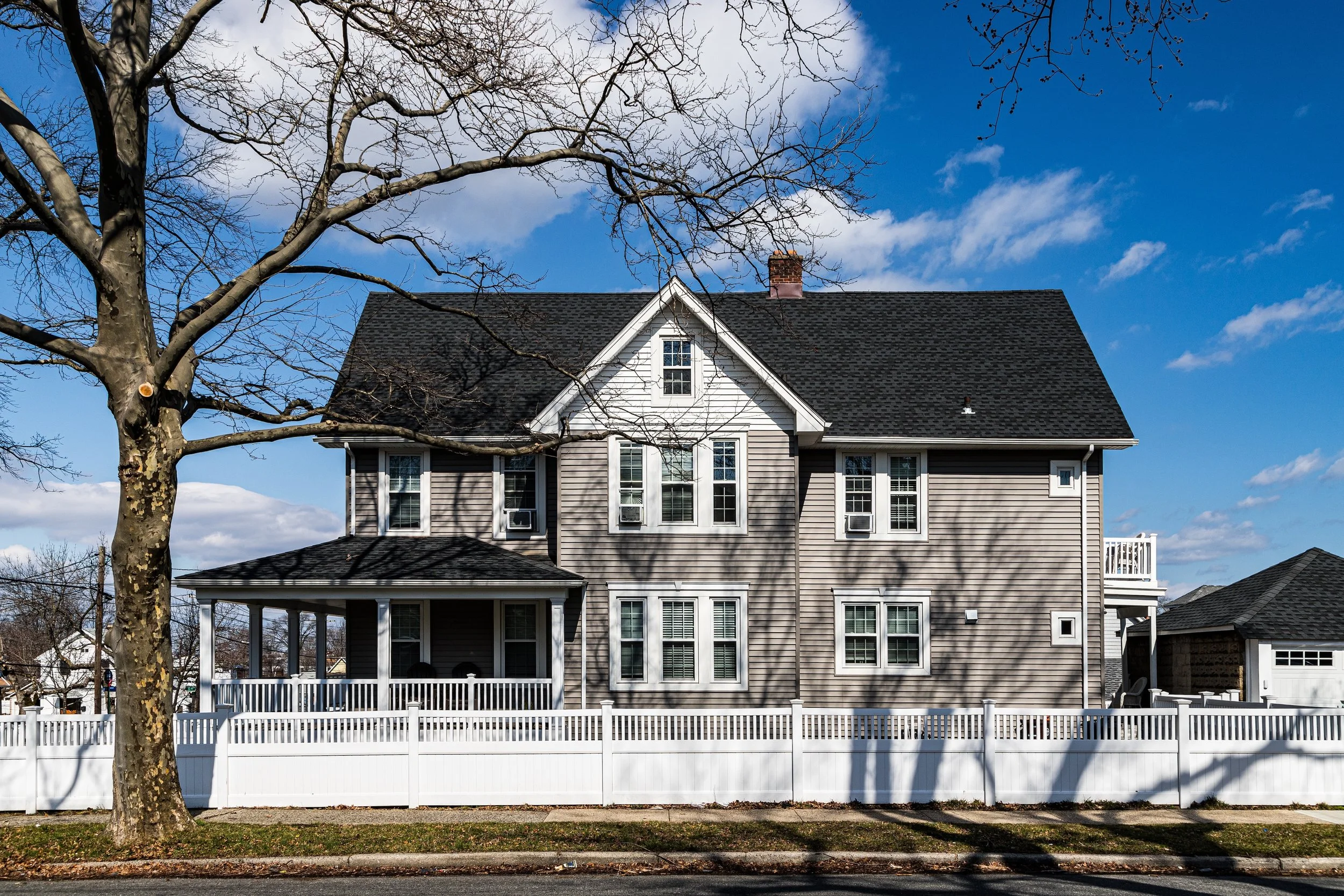
In the 2000s and 2010s, Beechhurst entered a new phase of quiet renewal. Property values rose steadily as demand for coastal living within New York City increased. Many older houses were renovated or rebuilt as custom-designed homes with expansive windows, terraces, and bay views. The LeHavre on the Water complex underwent major modernization, while new condominiums near Powell’s Cove Boulevard introduced contemporary architecture into the established landscape.
The waterfront has become more accessible through the expansion of Little Bay Park and the Joe Michael’s Mile Greenway, part of the Northeast Queens Greenway connecting to Fort Totten and Cunningham Park. These additions provide cycling, jogging, and walking routes along the water—offering residents panoramic views of the Throgs Neck and Whitestone Bridges and the shimmer of the East River at dawn and dusk.
Despite modernization, Beechhurst retains an aura of exclusivity born not of gates or grandeur, but of geography and continuity. Its quiet, well-tended streets, mature trees, and sea air evoke a bygone suburban ideal that persists on the city’s edge. The balance of single-family homes, co-ops, and parks creates a landscape where density and open space coexist in harmony—a rarity in contemporary New York.
Beechhurst Photo Gallery
Spirit and Legacy
Beechhurst’s legacy is inseparable from the water that surrounds it. Its story—shaped by tides, bridges, and the dreams of those seeking peace within reach of the city—embodies the evolution of Queens itself: from farmland to resort, from suburb to enduring community. It has weathered both storms and transformations without losing its essential grace.
New York City
Use this custom Google map to explore where every neighborhood in all five boroughs of New York City is located.
The Five Boroughs
One of New York City’s unique qualities is its organization in to 5 boroughs: Manhattan, Brooklyn, Queens, The Bronx, and Staten Island. These boroughs are part pragmatic administrative districts, and part vestiges of the region’s past. Each borough is an entire county in New York State - in fact, Brooklyn is, officially, Kings County, while Staten Island is, officially Richmond County. But that’s not the whole story …
Initially, New York City was located on the southern tip of Manhattan (now the Financial District) that was once the Dutch colony of New Amsterdam. Across the East River, another city was rising: Brooklyn. In time, the city planners realized that unification between the rapidly rising cities would create commercial and industrial opportunities - through streamlined administration of the region.
So powerful was the pull of unification between New York and Brooklyn that three more counties were pulled into the unification: The Bronx, Queens, and Staten Island. And on January 1, 1898, the City of New York unified two cities and three counties into one Greater City of New York - containing the five boroughs we know today.
But because each borough developed differently and distinctly until unification, their neighborhoods likewise uniquely developed. Today, there are nearly 390 neighborhoods, each with their own histories, cultures, cuisines, and personalities - and each with residents who are fiercely proud of their corner of The Big Apple.


