
SOUTH RICHMOND HILL
Queens
Geographic Setting
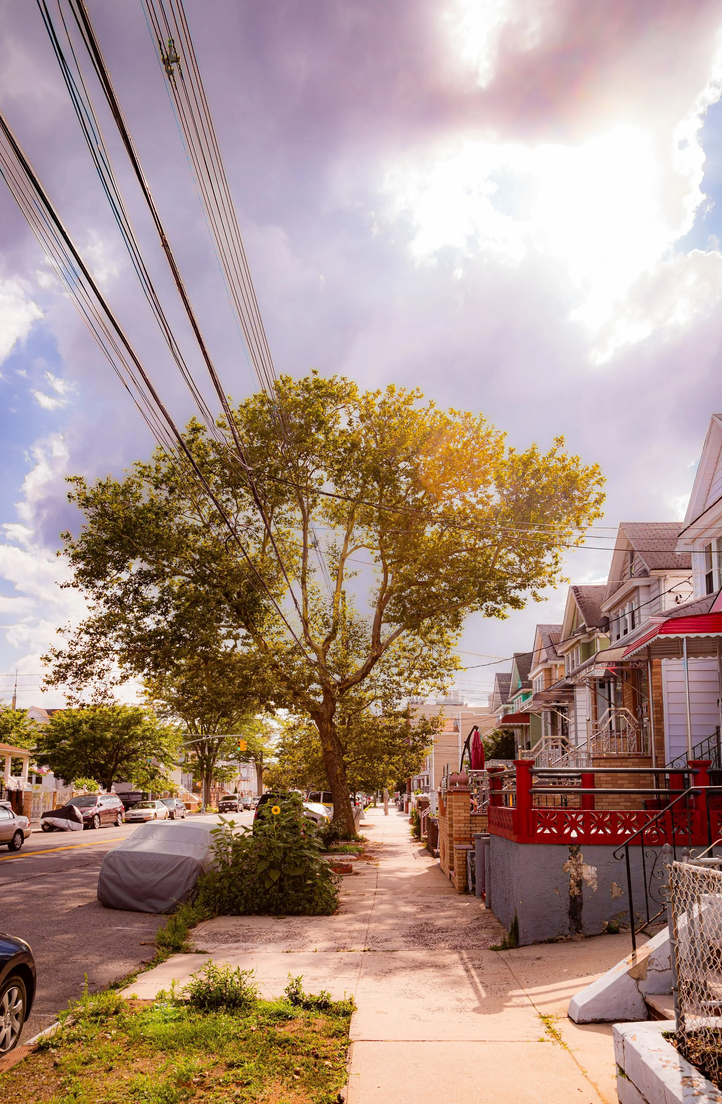
Bounded by 108th Street to the east, Atlantic Avenue to the north, the Van Wyck Expressway to the northeast, Linden Boulevard to the south, and Conduit Avenue to the southwest, South Richmond Hill forms the vibrant southern counterpart to historic Richmond Hill. Situated between Jamaica, Ozone Park, and South Ozone Park, it lies at the heart of one of Queens’ most dynamic cultural corridors—a neighborhood where century-old homes, temples, churches, and corner shops coexist in a lively urban patchwork that reflects both its Victorian heritage and its modern Indo-Caribbean identity.
The area’s grid is structured around Liberty Avenue, Lefferts Boulevard, and 111th Street, which serve as its principal arteries. Liberty Avenue, in particular, stands as one of New York City’s most distinctive commercial streets—lined with roti shops, sari boutiques, mandirs, and reggae record stores that together embody the neighborhood’s multicultural soul. Residential blocks radiate southward from Atlantic Avenue and eastward toward 108th Street, filled with detached frame houses, brick rowhomes, and small apartment buildings that date to the early 20th century. The hum of the J train along the elevated tracks above Jamaica Avenue and Atlantic Avenue remains a constant reminder of South Richmond Hill’s enduring connection to the rest of the city.
Etymology and Origins
The name “South Richmond Hill” derives directly from its parent neighborhood, Richmond Hill, a planned suburban community established in the 1870s by developers Albon Platt Man and Edward Richmond. The name “Richmond” was inspired by the affluent London suburb of the same name, while “Hill” referenced the gentle elevation on which the original neighborhood was built.
As Richmond Hill’s population grew, residential expansion moved southward past Atlantic Avenue in the early 20th century, giving rise to what locals began calling “South Richmond Hill.” Though the new area lacked the hilltop elevation of its northern namesake, it inherited much of its suburban layout and architectural style—freestanding homes, tree-lined streets, and a sense of small-town order within the city grid.
The southern extension attracted a wave of middle-class families, many of German, Irish, Italian, and Jewish descent, who were drawn by the promise of affordable homeownership, good schools, and access to the Long Island Rail Road and elevated Jamaica Avenue line.
The Neighborhood
Early–Mid 20th Century: Suburban Order and Working-Class Roots
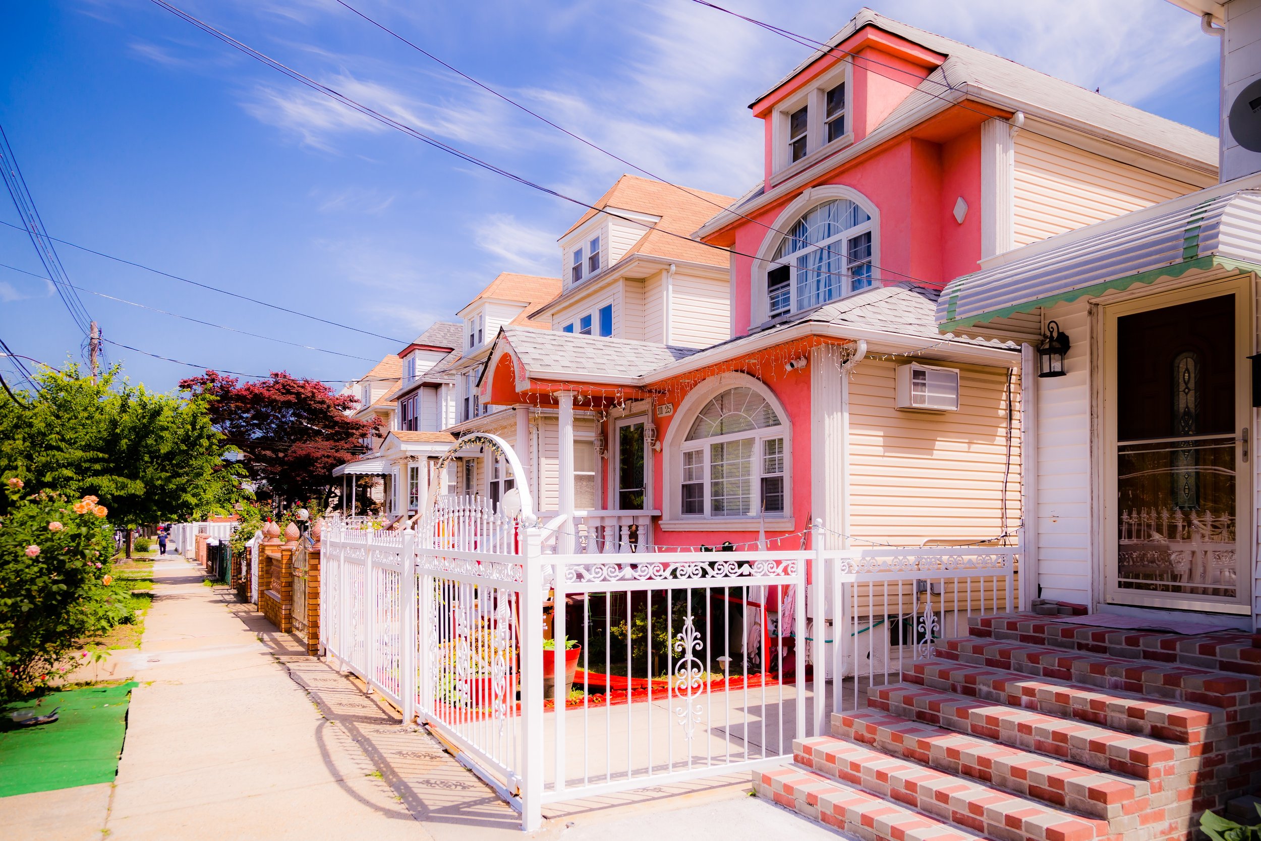
From the 1910s through the 1940s, South Richmond Hill matured into a quiet, stable, and distinctly residential enclave. Developers built rows of wood-frame houses with front porches, brick two-family homes, and small apartment buildings, catering to working-class New Yorkers seeking space and community outside the crowded inner boroughs.
The neighborhood’s architecture reflected the optimism of the interwar years: modest but dignified homes, often with bay windows, decorative cornices, and small front gardens. Civic life centered on schools and churches such as Holy Child Jesus Roman Catholic Church (1910) and St. Benedict Joseph Labre, which had already served the original Richmond Hill community. Lefferts Boulevard emerged as a local commercial spine, its storefronts housing grocers, butchers, and bakeries run by immigrant families.
During the mid-century decades, the construction of major roadways—including the Van Wyck Expressway (completed 1950) and Conduit Avenue—reshaped the neighborhood’s boundaries while improving access to Idlewild Airport (now JFK). South Richmond Hill remained a solidly working- and middle-class community through the postwar years, sustained by homeownership, parochial schools, and generational continuity.
Late 20th Century: The Indo-Caribbean Transformation
The most defining transformation in South Richmond Hill’s history came in the 1970s–1990s, when waves of Indo-Caribbean immigrants from Guyana, Trinidad and Tobago, and Suriname settled in the area, purchasing homes and opening businesses along Liberty Avenue and Lefferts Boulevard. Drawn by affordable housing and proximity to relatives already established in Queens and Brooklyn, these new residents revitalized a neighborhood that had begun to experience population turnover and economic uncertainty.
Within a generation, South Richmond Hill became known as “Little Guyana”—a thriving center of Indo-Caribbean life in New York City. Streets once lined with Italian delis and German bakeries were reborn as cultural marketplaces, filled with roti shops, West Indian groceries, Hindu temples, jewelry stores, and music shops selling chutney, Bollywood, and reggae records. Liberty Avenue, stretching east to west through the heart of the community, evolved into a transnational thoroughfare, where flags of Guyana, Trinidad, and India fluttered alongside the American one.
The neighborhood’s religious and cultural landscape transformed as well. Dozens of mandirs, mosques, and churches emerged, reflecting the syncretic faith traditions of Indo-Caribbean migration. Events such as Phagwah (Holi), Diwali, and Eid became major community celebrations, drawing thousands to Liberty Avenue each year for parades, street fairs, and open-air performances.
At the same time, South Richmond Hill maintained its longstanding sense of civic engagement. Homeowners’ associations, cultural organizations, and youth groups such as the Arya Spiritual Center and Richmond Hill–South Ozone Park Lions Club became instrumental in community development and interfaith cooperation.
South Richmond Hill Video Coming Soon
21st Century: Heritage, Diversity, and Renewal
In the 21st century, South Richmond Hill continues to thrive as one of New York’s most culturally dynamic and cohesive neighborhoods. Its population remains predominantly Indo-Caribbean, with growing South Asian, Latin American, and African-American communities adding further layers of diversity.
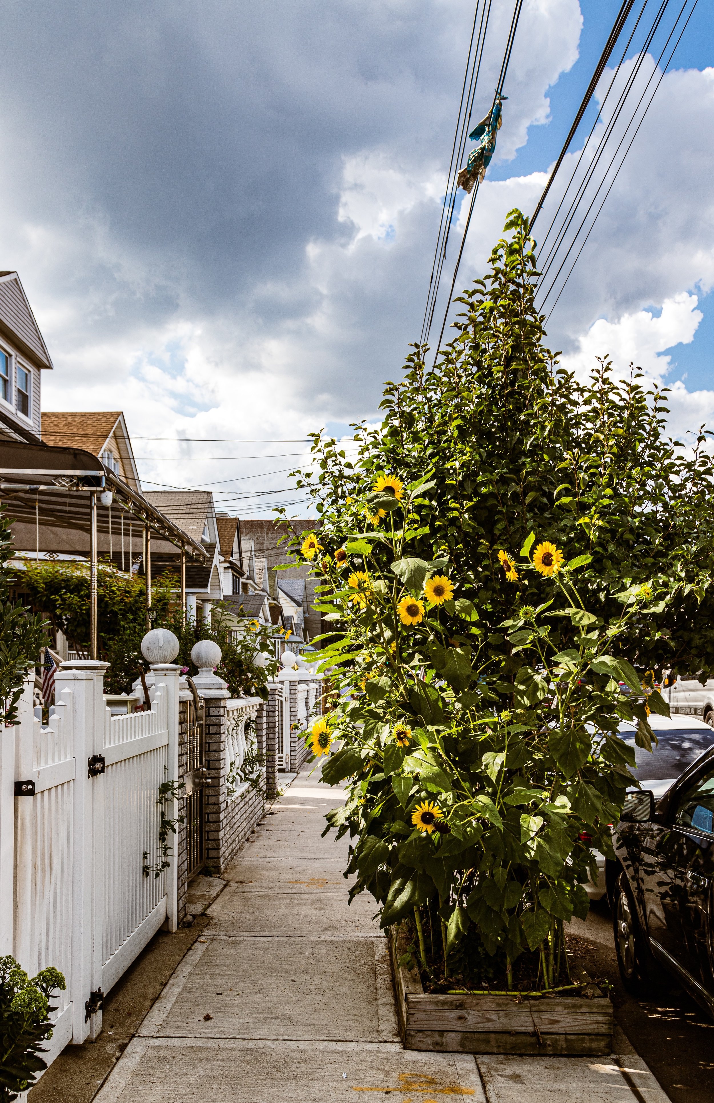
The neighborhood’s housing stock has seen waves of renovation, with older frame houses extended or replaced by multi-family dwellings, yet the residential character endures: tree-lined blocks, tidy gardens, and stoops filled with conversation on summer evenings. Liberty Avenue remains the beating heart of local commerce—a global bazaar where residents can find anything from doubles and dhal puri to gold bangles, saris, and spices from across the Indian Ocean world.
While proximity to major highways and JFK Airport continues to shape local life—bringing both economic opportunity and traffic congestion—South Richmond Hill’s identity remains defined by its people. The community’s mix of small business owners, homeowners, and civic leaders has helped it remain stable and self-sustaining even amid citywide fluctuations.
Cultural preservation and generational continuity have become guiding themes: youth-led groups document the neighborhood’s history through art and media, while local initiatives promote education, wellness, and small business development. The annual Phagwah Parade, one of the largest Holi celebrations in the Western Hemisphere, continues to symbolize the neighborhood’s unity, color, and joy.
South Richmond Hill Photo Gallery
Spirit and Legacy
The spirit of South Richmond Hill is one of adaptation, pride, and shared heritage. From its 19th-century origins as a suburban expansion of Richmond Hill to its 20th-century rebirth as the heart of the Indo-Caribbean diaspora, it has continually reinvented itself while retaining its sense of place.
New York City
Use this custom Google map to explore where every neighborhood in all five boroughs of New York City is located.
The Five Boroughs
One of New York City’s unique qualities is its organization in to 5 boroughs: Manhattan, Brooklyn, Queens, The Bronx, and Staten Island. These boroughs are part pragmatic administrative districts, and part vestiges of the region’s past. Each borough is an entire county in New York State - in fact, Brooklyn is, officially, Kings County, while Staten Island is, officially Richmond County. But that’s not the whole story …
Initially, New York City was located on the southern tip of Manhattan (now the Financial District) that was once the Dutch colony of New Amsterdam. Across the East River, another city was rising: Brooklyn. In time, the city planners realized that unification between the rapidly rising cities would create commercial and industrial opportunities - through streamlined administration of the region.
So powerful was the pull of unification between New York and Brooklyn that three more counties were pulled into the unification: The Bronx, Queens, and Staten Island. And on January 1, 1898, the City of New York unified two cities and three counties into one Greater City of New York - containing the five boroughs we know today.
But because each borough developed differently and distinctly until unification, their neighborhoods likewise uniquely developed. Today, there are nearly 390 neighborhoods, each with their own histories, cultures, cuisines, and personalities - and each with residents who are fiercely proud of their corner of The Big Apple.


