YORKVILLE
Manhattan
Geographic Setting
Bounded by East 79th Street to the south and East 96th Street to the north, and stretching from Third Avenue eastward to the East River, Yorkville occupies the northeastern quarter of Manhattan’s Upper East Side—a neighborhood defined by its dynamic blend of tradition and transition. Tucked between the grand avenues of Lenox Hill to the south and the serene greens of Carl Schurz Park to the east, Yorkville bridges old New York gentility with immigrant resilience and modern vitality.
The terrain slopes gently toward the river, where the East River Esplanade now provides sweeping waterfront views once dominated by shipyards and coal docks. York Avenue, First Avenue, and Second Avenue form the district’s principal arteries, lined with prewar apartment houses, postwar towers, and the corner bakeries and cafés that evoke its Central European past. Third Avenue, with its bustling retail corridor, marks the neighborhood’s western edge and its gateway to the rest of the Upper East Side. Above ground and below, the hum of the city endures: where once the Third Avenue Elevated roared, today the Second Avenue Subway carries its modern echo beneath the same streets.
Etymology and Origins
The name “Yorkville” dates to the 1830s, when the Yorkville Post Office and Yorkville Police Precinct were established along the Old Boston Post Road (now Third Avenue). The area was so named for its position north of York Hill, an early term for the elevated land east of what is now Park Avenue. At the time, Yorkville was still a pastoral district of farms, orchards, and country estates belonging to families such as the Schermerhorns and Rhinelanders.
The opening of the Third Avenue Horsecar Line (1852) and, later, the Third Avenue Elevated Railway (1878) transformed Yorkville from rural outpost to working-class suburb. Immigrants from Germany, Hungary, Ireland, and later Czechoslovakia and Poland settled in its newly subdivided tenements and rowhouses. They brought with them languages, foods, and faiths that would define the neighborhood’s identity for more than a century.
The Neighborhood
19th Century: The German Frontier of Manhattan
In the early 1800s, Yorkville was a patchwork of farms and country estates belonging to families like the Schultzes, Rupperts, and DeLanceys. The extension of the New York & Harlem Railroad in 1837, followed by the Third Avenue Elevated Line in 1878, spurred rapid urbanization. Immigrant communities—particularly Germans, Irish, Czechs, and Hungarians—flocked to the area, drawn by affordable housing and nearby industry along the East River.
By the late 19th century, Yorkville had become the heart of Kleindeutschland—New York’s Little Germany—after many German immigrants relocated uptown from the East Village following the General Slocum steamboat disaster (1904). Along East 86th Street, bakeries, beer halls, and delicatessens flourished, transforming the thoroughfare into the “German Broadway.” Landmarks such as the Heidelberg Restaurant (est. 1936) and Schaller & Weber Meats (est. 1937) carry that legacy into the present.
Tenement housing predominated east of Third Avenue, while small factories, breweries, and coal yards operated near the river. Churches and schools rooted the community: St. Joseph’s Church (1873) on East 87th Street served German Catholics; St. Monica’s (1883) ministered to Irish families; and synagogues such as Temple Israel reflected a growing Jewish presence. Social life revolved around clubs, music halls, and the annual Steuben Parade, which celebrated German heritage with brass bands and marching societies.
Meanwhile, the Carl Schurz Park area—formerly the site of the John Jacob Astor estate—became a civic anchor with the establishment of Gracie Mansion (1799) as the official mayoral residence in 1942. Its surrounding park, designed in the 1870s and expanded in the 1930s, remains the green heart of Yorkville’s riverfront.
Early–Mid 20th Century: Ethnic Diversity and Urban Maturity
By the early 20th century, Yorkville’s German base had blended with waves of new immigrants—Hungarians, Slovaks, Poles, Czechs, and later Jews escaping persecution in Europe. Each group left its imprint. The Hungarian churches and cafés along East 82nd Street, the Czech National Hall (1896) on East 73rd Street, and the Bohemian Benevolent Society preserved the cultural continuity of Old World communities in the New World.
During this era, Yorkville’s east–west divide deepened: west of Second Avenue, middle-class apartment buildings replaced older tenements; east of First Avenue, coal yards, gas tanks, and the East River Drive (completed 1940s) reinforced its industrial character. The completion of the FDR Drive improved traffic flow but cut off much of the neighborhood from the waterfront.
The elevated train that had defined Yorkville’s streetscape for generations was dismantled in 1955, opening Third Avenue to sunlight and new development. In its place rose high-rise apartment buildings catering to young professionals and families. Yet even as modernization advanced, the neighborhood’s taverns, bakeries, and festivals kept its European flavor alive. The aroma of rye bread and sausage still mingled with the hum of progress.
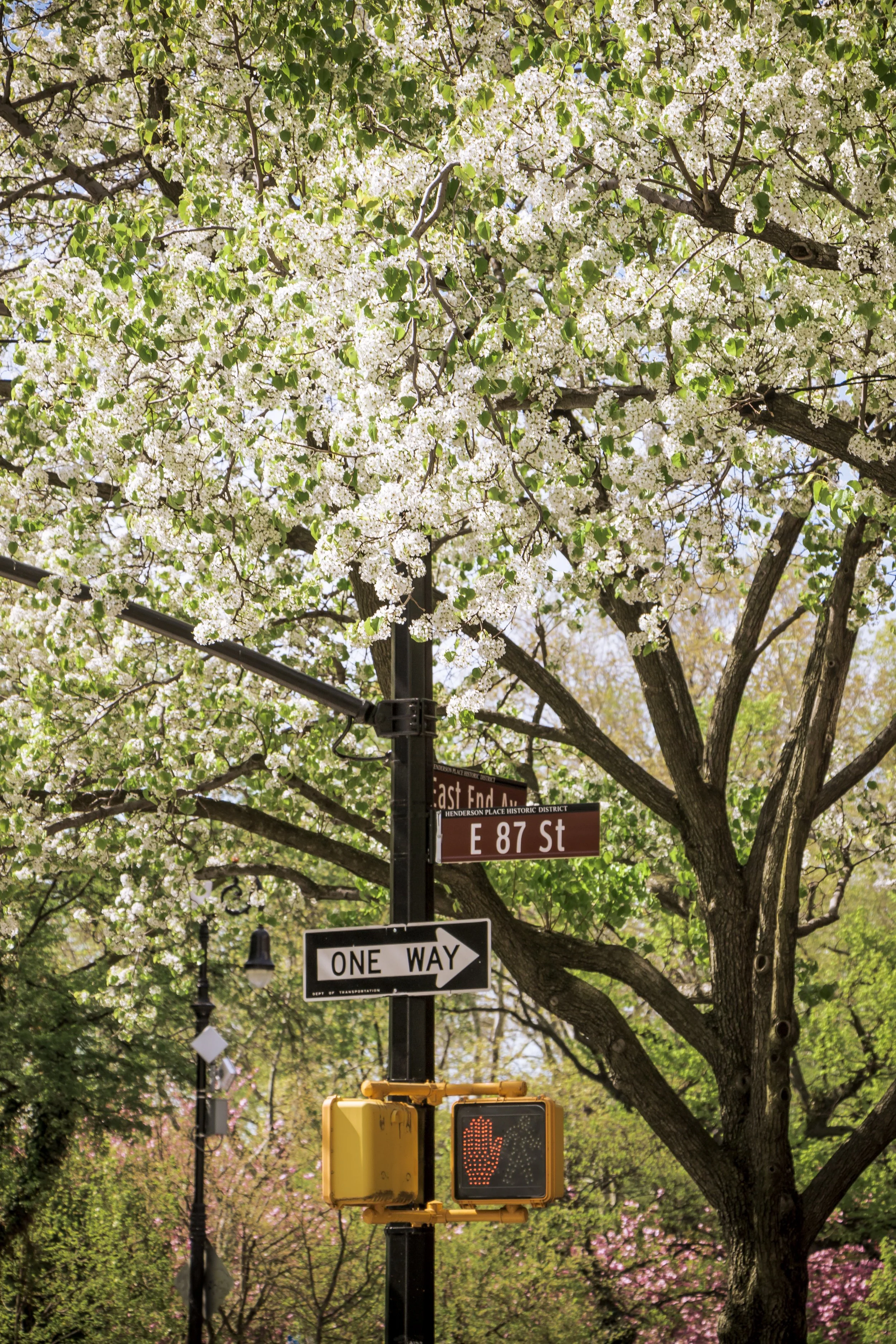
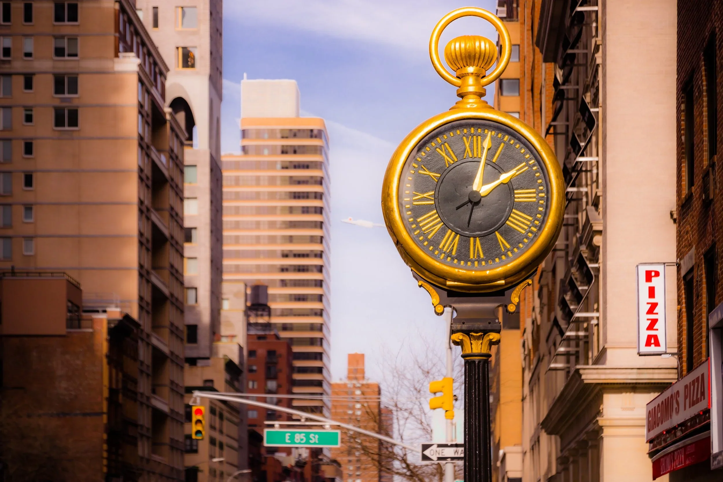
Yorkville Photographic Tour
Late 20th–21st Century: Reinvention and Continuity
In the 1970s–1990s, Yorkville transitioned into one of Manhattan’s most stable middle- to upper-middle-class neighborhoods. Affordable housing and proximity to major hospitals—NewYork-Presbyterian/Weill Cornell, Memorial Sloan Kettering, and Rockefeller University—attracted medical professionals and students, while longtime residents maintained close-knit community traditions. The German-American Steuben Parade, annual street fairs, and small-family businesses gave Yorkville a sense of continuity even as its ethnic mix diversified.
The opening of the Second Avenue Subway (2017) ushered in the latest era of transformation, restoring the corridor’s prominence after decades of anticipation. Sleek stations at 86th Street and 96th Street spurred renewed investment in residential and retail development, blending new glass towers with preserved brownstones. Meanwhile, the East River Esplanade—expanded and restored through city initiatives—reconnected Yorkville to the waterfront with playgrounds, dog runs, and bike paths.
Despite gentrification, traces of its immigrant soul endure: old churches ring their bells beside new high-rises; long-running institutions like Glaser’s Bake Shop (founded 1902, closed 2018) remain fondly remembered; and conversations in Hungarian, Polish, and Spanish mingle with the laughter of playgrounds and the hum of buses along York Avenue.
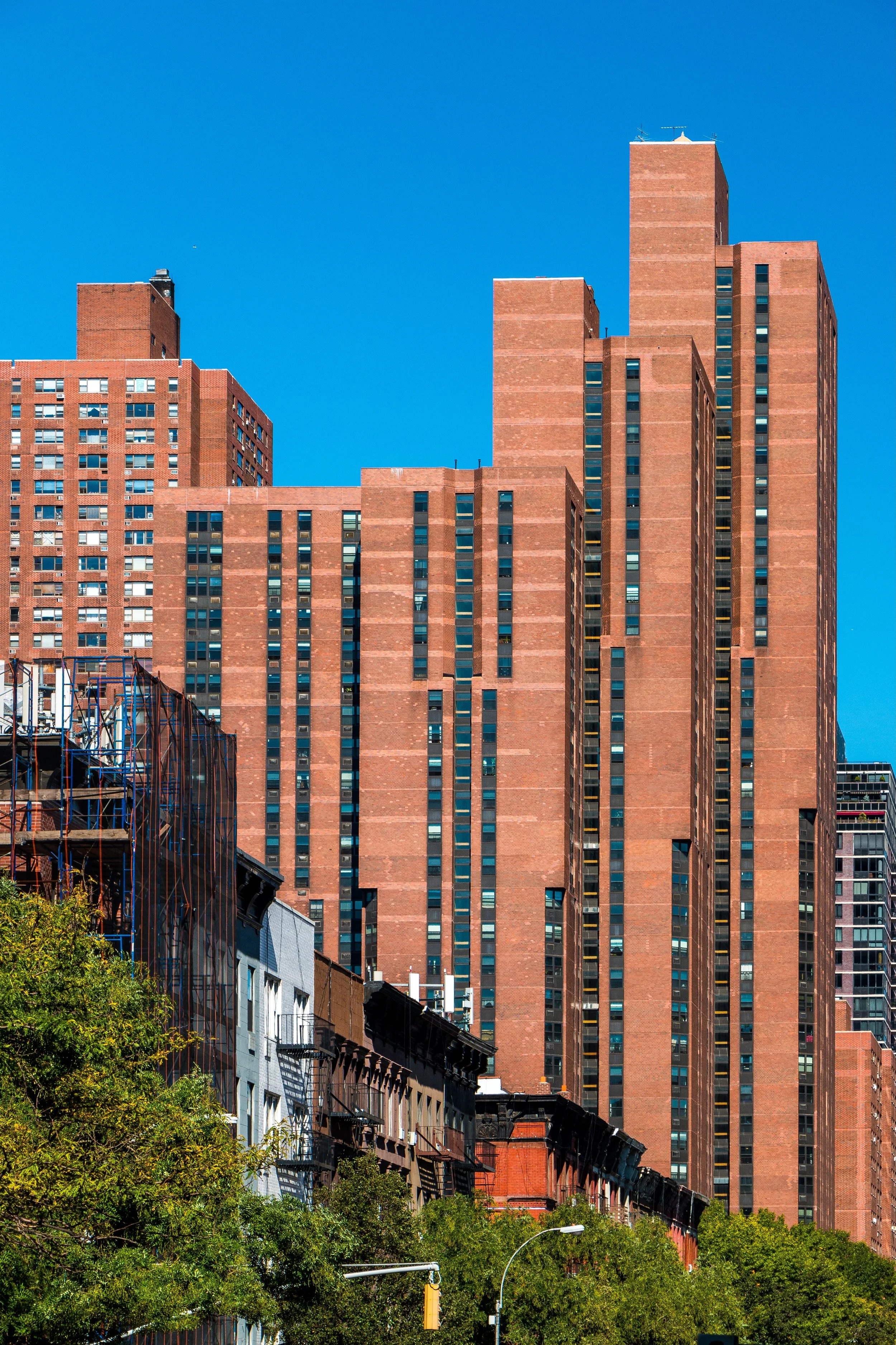
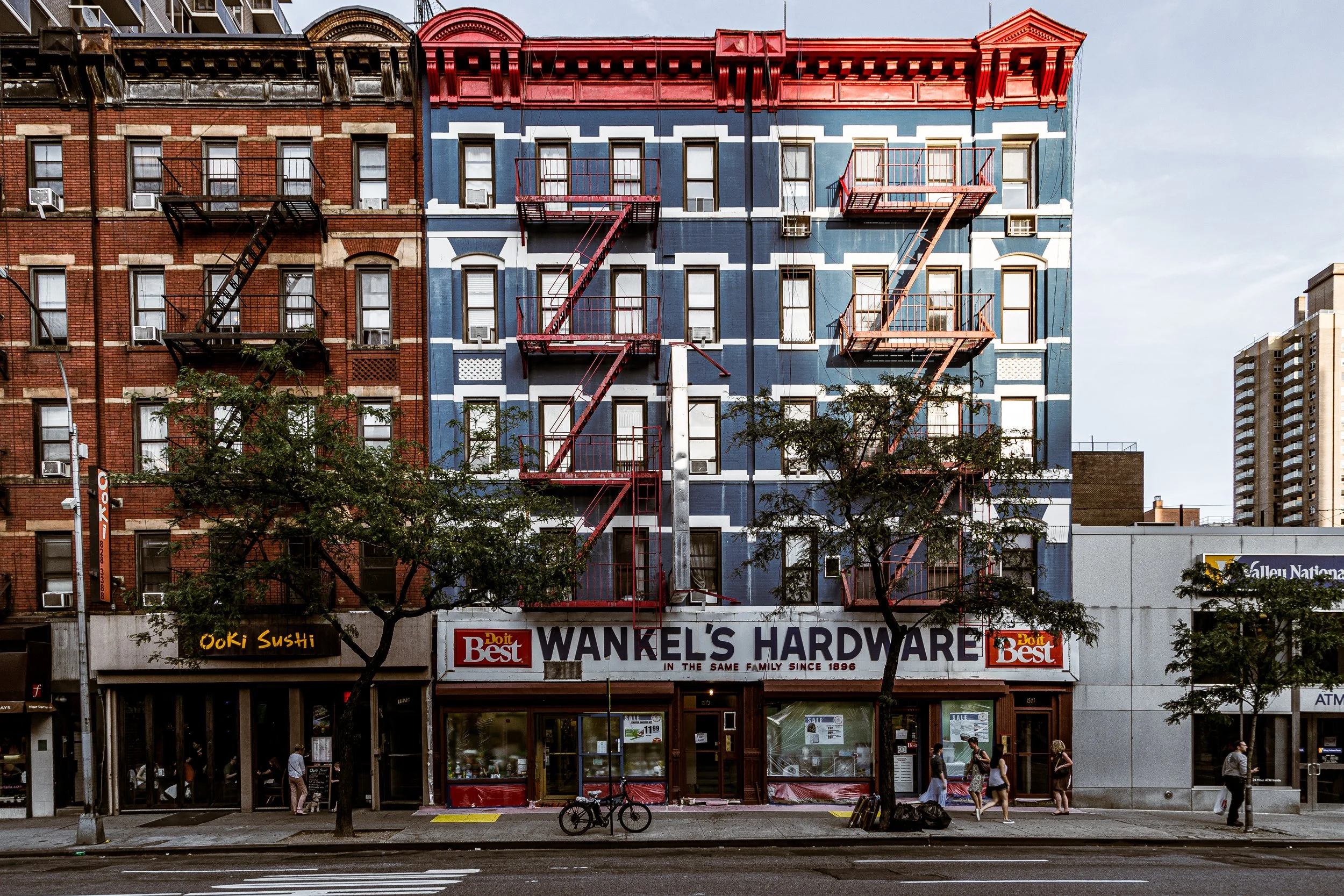
Yorkville Photo Gallery
Spirit and Legacy
Yorkville’s legacy is one of continuity amid change—a neighborhood that absorbed wave after wave of newcomers without losing its essential warmth. Its story mirrors the immigrant saga of New York itself: industrious, adaptable, and fiercely local. From beer gardens and tenements to parks and glass towers, Yorkville has evolved with the city while maintaining its character as a place of refuge and renewal.
New York City
Use this custom Google map to explore where every neighborhood in all five boroughs of New York City is located.
The Five Boroughs
One of New York City’s unique qualities is its organization in to 5 boroughs: Manhattan, Brooklyn, Queens, The Bronx, and Staten Island. These boroughs are part pragmatic administrative districts, and part vestiges of the region’s past. Each borough is an entire county in New York State - in fact, Brooklyn is, officially, Kings County, while Staten Island is, officially Richmond County. But that’s not the whole story …
Initially, New York City was located on the southern tip of Manhattan (now the Financial District) that was once the Dutch colony of New Amsterdam. Across the East River, another city was rising: Brooklyn. In time, the city planners realized that unification between the rapidly rising cities would create commercial and industrial opportunities - through streamlined administration of the region.
So powerful was the pull of unification between New York and Brooklyn that three more counties were pulled into the unification: The Bronx, Queens, and Staten Island. And on January 1, 1898, the City of New York unified two cities and three counties into one Greater City of New York - containing the five boroughs we know today.
But because each borough developed differently and distinctly until unification, their neighborhoods likewise uniquely developed. Today, there are nearly 390 neighborhoods, each with their own histories, cultures, cuisines, and personalities - and each with residents who are fiercely proud of their corner of The Big Apple.


