NEW SPRINGVILLE
Staten Island
Geographic Setting
Bounded by Forest Hill Road to the southeast, Richmond Avenue to the west, and Richmond Hill Road to the north, New Springville lies at the geographic and commercial heart of Staten Island—an expansive mid-island neighborhood defined by its proximity to the Staten Island Mall, its adjacency to preserved parkland, and its pivotal role in the borough’s suburban transformation. The neighborhood sits atop gently rolling terrain between the woodlands of the Greenbelt to the east and the wetlands of the William T. Davis Wildlife Refuge to the west.
The landscape reflects a confluence of the natural and the constructed: the grid of residential streets and shopping centers gives way, within blocks, to ponds, creeks, and greenbelts. Richmond Avenue, once a quiet two-lane rural road, now serves as Staten Island’s principal north–south commercial corridor, while Forest Hill Road curves eastward toward the wooded hills of LaTourette Park and Willowbrook Park. The mix of suburban homes, schools, and major retail establishments makes New Springville both the symbolic and practical crossroads of modern Staten Island—a neighborhood that embodies the island’s postwar identity.
Etymology
The name New Springville dates to the mid-19th century, when the area was still a pastoral farming district known simply as Springville—a name inspired by the many natural springs that once bubbled through its meadows and woodlands. As development expanded, “New Springville” came into use to distinguish it from the older rural settlement and to reflect the neighborhood’s reemergence as a growing community. The name endures as a reminder of the landscape’s hydrological roots: streams that once fed into Main Creek and Fresh Kills still define much of its ecology, now preserved within the Blue Heron Park and Davis Refuge systems.
Though the springs themselves have largely vanished beneath development, the word “Springville” continues to evoke renewal—a fitting name for a place that has repeatedly reinvented itself from farmland to suburb to Staten Island’s modern commercial center.
The Neighborhood
Origins through the 19th Century
During the 18th and 19th centuries, New Springville lay within the Town of Northfield, a rural expanse of farms and woodlots stretching from the island’s central ridge to the western marshes. The area’s rich soil and freshwater springs made it ideal for agriculture, and small family farms and dairies dominated the landscape. Richmond Avenue existed as a country lane connecting farmsteads to Richmondtown and to the docks along the Arthur Kill, while Forest Hill Road served as a wagon route toward the uplands.
By the early 1800s, a modest hamlet known as Springville had formed near the intersection of Richmond Avenue and Forest Hill Road. It consisted of a few houses, a general store, and a blacksmith’s shop, serving local farmers. The arrival of improved roads in the mid-19th century linked the area more closely to other island villages, but Springville remained agricultural through the century. Fields of corn, hay, and vegetables covered much of the terrain now occupied by housing developments and shopping centers. Its quiet, agrarian rhythm persisted even as nearby coastal areas like New Dorp and South Beach began to suburbanize.
Early 20th Century: Rural Quietude and Institutional Expansion
The early 20th century brought gradual change to Springville. Staten Island’s consolidation into New York City in 1898 introduced municipal infrastructure, but development remained sparse. The construction of the Willowbrook State School in the 1930s on adjacent land to the north introduced a large institutional presence to the area, bringing roads, utilities, and limited employment but little immediate housing growth. The surrounding lands—marshes to the west and forests to the east—were still considered too remote or undeveloped for major settlement.
Throughout the first half of the century, Springville was characterized by its open spaces and its scattered homes along Forest Hill Road. Farmers continued to work the land, while hunters and bird-watchers frequented the nearby Fresh Kills wetlands. Yet the stage for transformation was being set: Staten Island’s population would surge after the construction of the Verrazzano-Narrows Bridge (1964), and Springville’s central location made it prime territory for postwar suburban expansion.
New Springville Video Coming Soon
Mid–Late 20th Century: Suburban Boom and Commercial Transformation
The 1960s and 1970s marked the most dramatic transformation in New Springville’s history. The Verrazzano-Narrows Bridge opened Staten Island to mass suburbanization, and large tracts of farmland and woodland were subdivided for housing developments. Ranches, split-levels, and Colonials rose along the new residential streets off Forest Hill Road, Richmond Hill Road, and Signs Road, while nearby institutions like Susan E. Wagner High School (1968) and P.S. 58 anchored the community’s educational life.
The neighborhood’s defining moment came in 1973 with the opening of the Staten Island Mall at Richmond Avenue and Platinum Avenue. Built on former wetlands and farmland, the mall was the borough’s first large-scale regional shopping center and remains its largest commercial complex today. Surrounding it, big-box stores, parking lots, and roadways reshaped the once-rural landscape into a suburban retail hub. Richmond Avenue widened to accommodate growing traffic, transforming into Staten Island’s principal commercial artery.
Despite rapid development, planners and residents advocated for the preservation of adjacent open spaces. The establishment of Willowbrook Park, LaTourette Park, and portions of the Staten Island Greenbelt in the 1970s and 1980s protected thousands of acres of forest and wetland around New Springville, ensuring that the neighborhood’s explosive growth would be balanced by accessible green space. This mix of commerce, housing, and nature remains the hallmark of New Springville today.
21st Century: The Modern Heart of Staten Island
In the 21st century, New Springville has matured into Staten Island’s de facto downtown—a vibrant blend of residential neighborhoods, commercial corridors, and parkland that reflects the borough’s evolution into a self-contained suburban city. The Staten Island Mall has expanded into a mixed-use complex with restaurants, entertainment venues, and landscaped promenades, while Richmond Avenue has become home to major retailers, medical centers, and educational facilities.
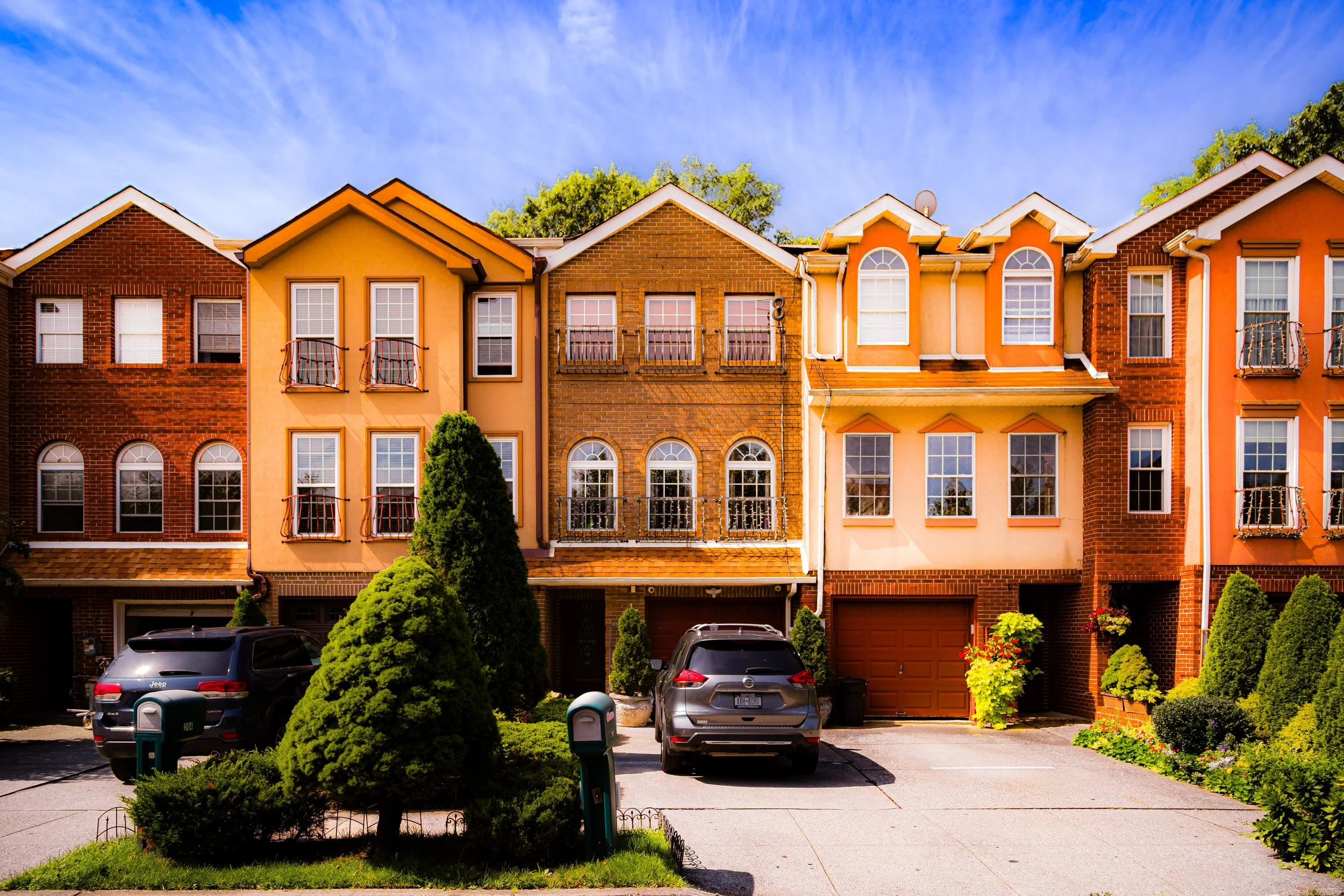
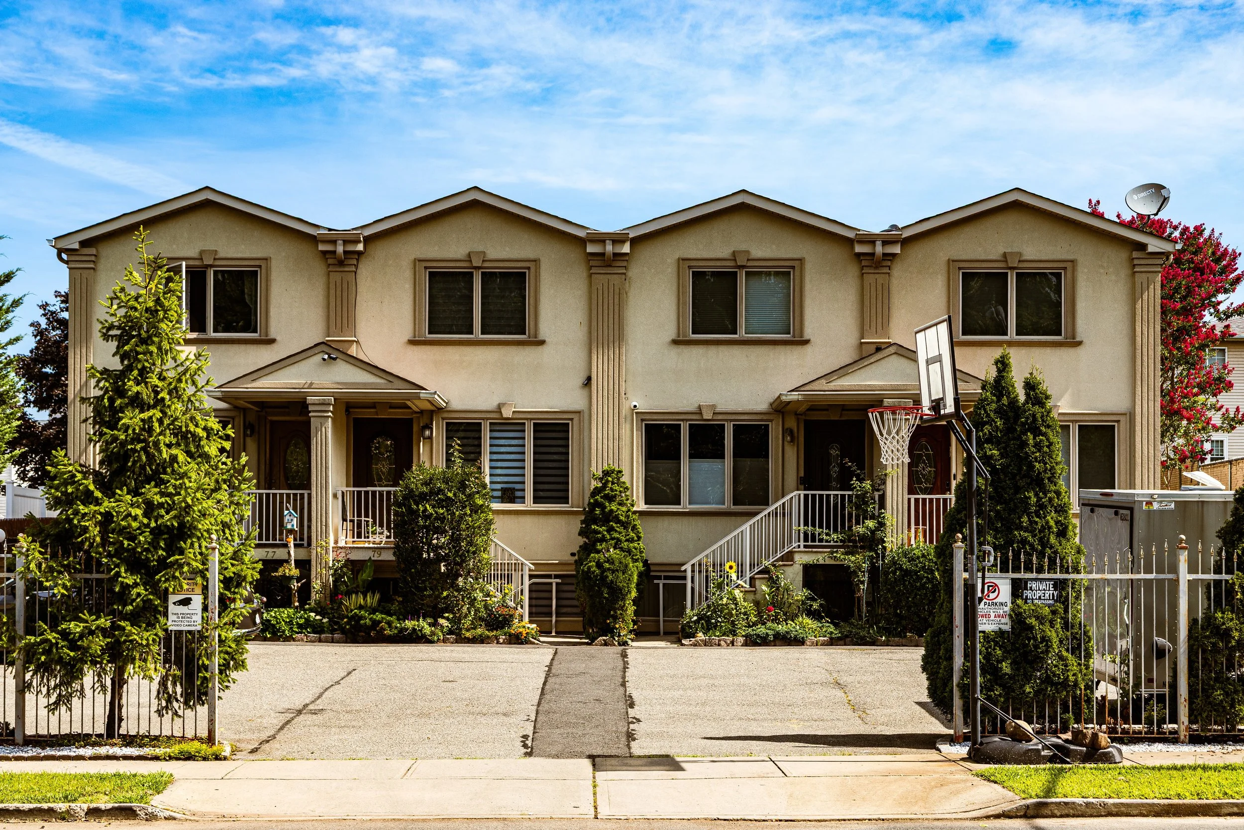
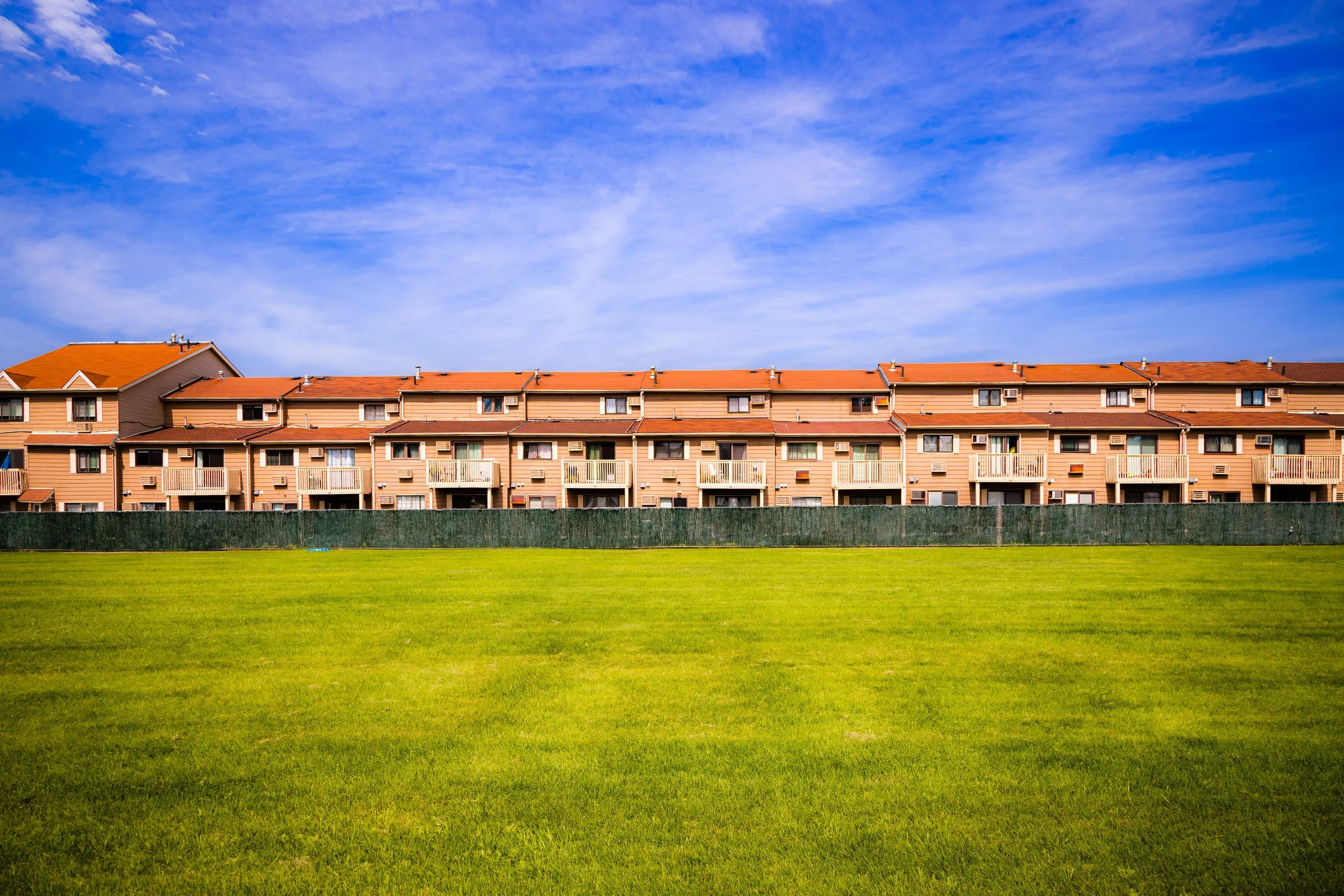
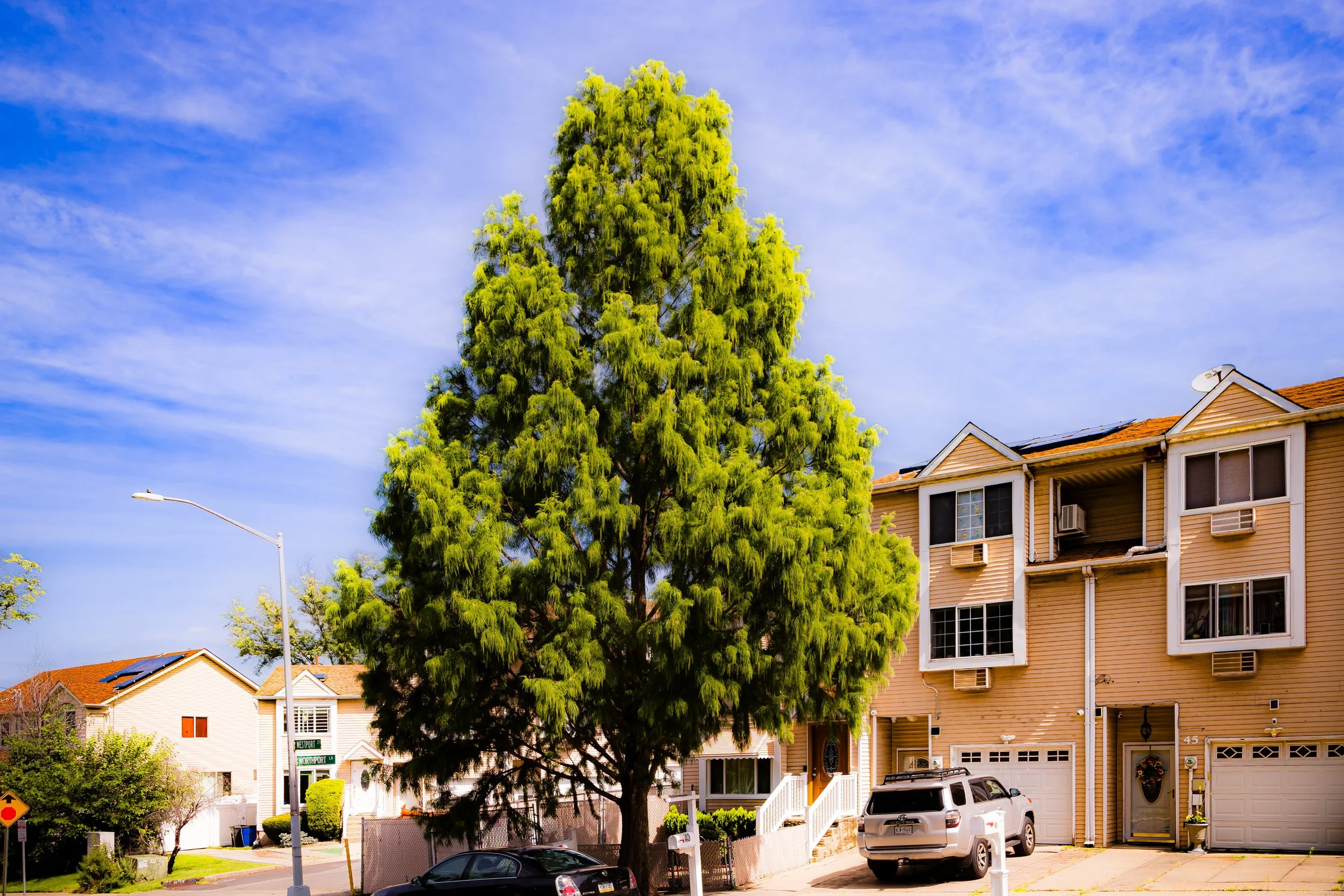
Residentially, New Springville remains largely composed of single-family homes, townhouses, and condominium communities built during the postwar decades. The area’s proximity to both natural preserves and shopping amenities makes it one of Staten Island’s most desirable middle-class neighborhoods. The adjacent Greenbelt Recreation Center, Willowbrook Park Carousel, and LaTourette Golf Course provide outdoor recreation within minutes of dense suburban living.
Infrastructure improvements have also redefined the landscape. The Richmond Avenue Transit and Drainage projects and the integration of Bluebelt stormwater systems have mitigated flooding while preserving ecological habitats. Civic groups continue to advocate for traffic management, sustainable development, and pedestrian-friendly planning as the community adapts to 21st-century demands.
Demographically, New Springville reflects Staten Island’s growing diversity, with long-established Italian-American families now joined by communities of Eastern European, South Asian, and Latin American descent. This multicultural mix has revitalized local schools, churches, and cultural events, ensuring that the neighborhood’s identity continues to evolve while maintaining its suburban character.
New Springville Photo Gallery
Spirit and Legacy
The spirit of New Springville is one of transformation and balance. It is a neighborhood that has reinvented itself at every stage of Staten Island’s history—from farmland to suburb, from crossroads to commercial center—while maintaining a connection to the land that first sustained it. Its springs and fields may have given way to shopping plazas and residential blocks, but its underlying rhythm remains one of renewal.
Its legacy is the story of Staten Island itself: a landscape where nature and suburbia coexist, where families find stability amid change, and where the past quietly informs the present. The green edges of Willowbrook and LaTourette whisper reminders of the old countryside, even as the hum of commerce rises from the Mall and Richmond Avenue.
New York City
Use this custom Google map to explore where every neighborhood in all five boroughs of New York City is located.
The Five Boroughs
One of New York City’s unique qualities is its organization in to 5 boroughs: Manhattan, Brooklyn, Queens, The Bronx, and Staten Island. These boroughs are part pragmatic administrative districts, and part vestiges of the region’s past. Each borough is an entire county in New York State - in fact, Brooklyn is, officially, Kings County, while Staten Island is, officially Richmond County. But that’s not the whole story …
Initially, New York City was located on the southern tip of Manhattan (now the Financial District) that was once the Dutch colony of New Amsterdam. Across the East River, another city was rising: Brooklyn. In time, the city planners realized that unification between the rapidly rising cities would create commercial and industrial opportunities - through streamlined administration of the region.
So powerful was the pull of unification between New York and Brooklyn that three more counties were pulled into the unification: The Bronx, Queens, and Staten Island. And on January 1, 1898, the City of New York unified two cities and three counties into one Greater City of New York - containing the five boroughs we know today.
But because each borough developed differently and distinctly until unification, their neighborhoods likewise uniquely developed. Today, there are nearly 390 neighborhoods, each with their own histories, cultures, cuisines, and personalities - and each with residents who are fiercely proud of their corner of The Big Apple.


