
GREENPOINT
Brooklyn
Geographic Setting
At the northernmost tip of Brooklyn, between the East River and Newtown Creek, lies Greenpoint—a neighborhood shaped by shipyards, tenements, artists’ lofts, and the enduring currents of the working harbor. Bordered by Williamsburg to the south, Long Island City across the creek to the east, and the East River to the west and north, Greenpoint is both frontier and anchor: the last of old industrial Brooklyn’s waterfront towns, yet one of its most dynamic and self-contained communities.
Its geography defines it. The long riverfront, now a patchwork of parks, warehouses, and converted lofts, faces Manhattan’s Midtown skyline, while the inland grid—centered around Manhattan Avenue—preserves the scale of a 19th-century village. Beneath the surface flows history: the tides of the river, the engines of industry, and the constant push and pull between isolation and reinvention.
Etymology and Origins
The name “Greenpoint” predates the neighborhood itself. It referred to a single promontory of green meadowland that jutted into the East River, used by Dutch settlers as a navigational reference. In the 1640s, Dirck Volckertsen, a Norwegian farmer under Dutch charter, settled the area—his family later anglicized their name to Volckertsen or Volckerson, and his farm occupied much of what is now northern Greenpoint.
For nearly two centuries, this corner of Brooklyn remained agricultural, part of the broader township of Bushwick (Boswijck). The isolation of the peninsula—surrounded by water and swampland—kept it rural even as Brooklyn’s downtown and Williamsburg boomed. Yet by the early 1800s, proximity to Manhattan’s docks and shipyards began to shape its future.
The Neighborhood
19th Century: Industry and Immigration
The mid-19th century transformed Greenpoint into one of America’s great industrial neighborhoods. Shipyards and factories lined the waterfront; among them was the Continental Iron Works, which in 1862 constructed the Union Navy’s USS Monitor, the first ironclad warship. Lumberyards, glassworks, porcelain manufacturers, and oil refineries followed. By the 1850s, Peter Cooper’s Glue Factory and Charles Pratt’s Astral Oil Works (later part of Standard Oil) had made Greenpoint synonymous with both enterprise and pollution.
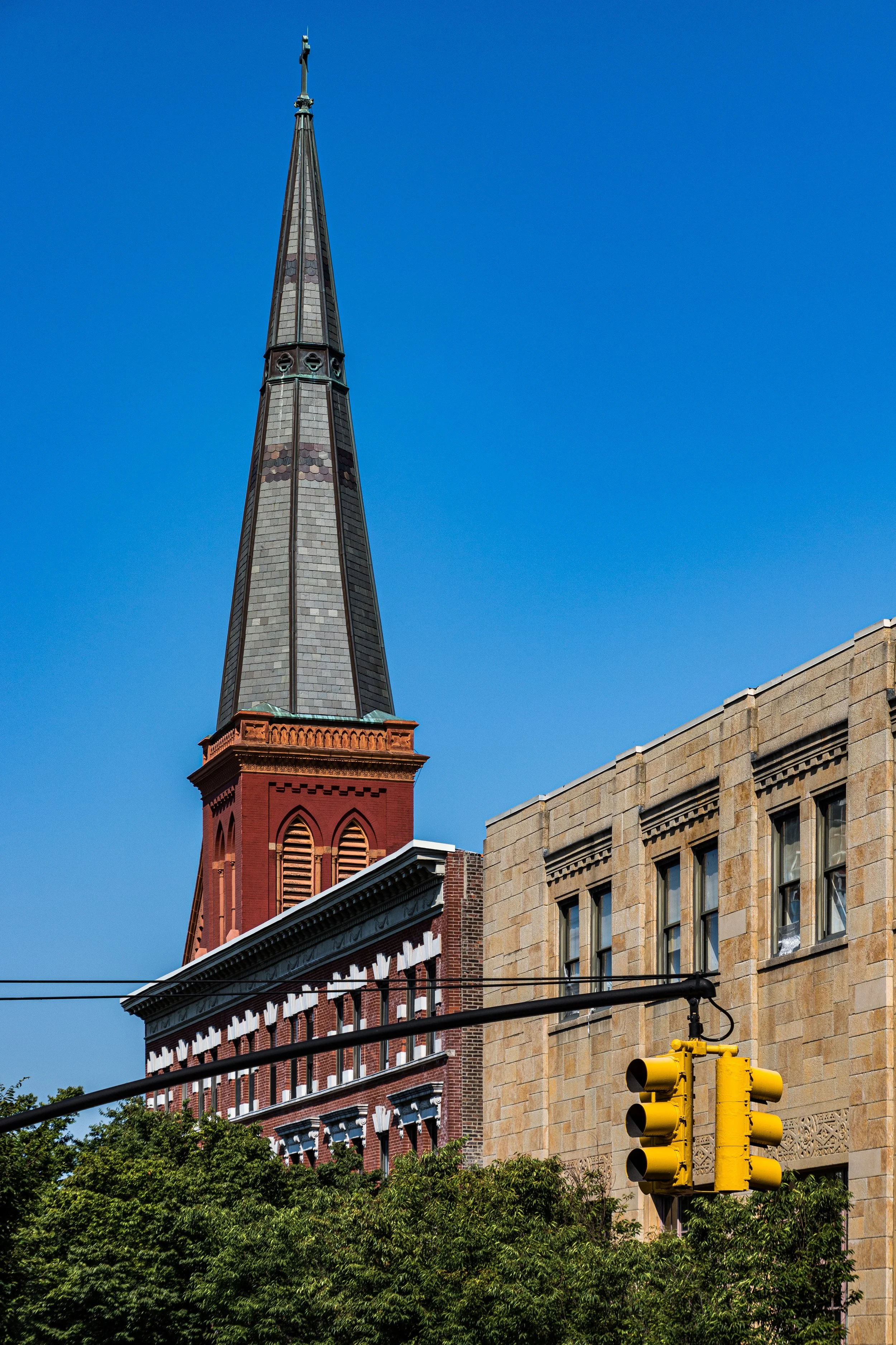
Immigrants from Ireland, Germany, and Poland flocked to the area to work the shipyards and factories. The neighborhood’s Polish community, arriving in greatest numbers in the late 19th and early 20th centuries, became one of the largest Polish enclaves in the United States—a legacy still evident in St. Stanislaus Kostka Church, Krakus Market, and the bilingual storefronts of Manhattan Avenue.
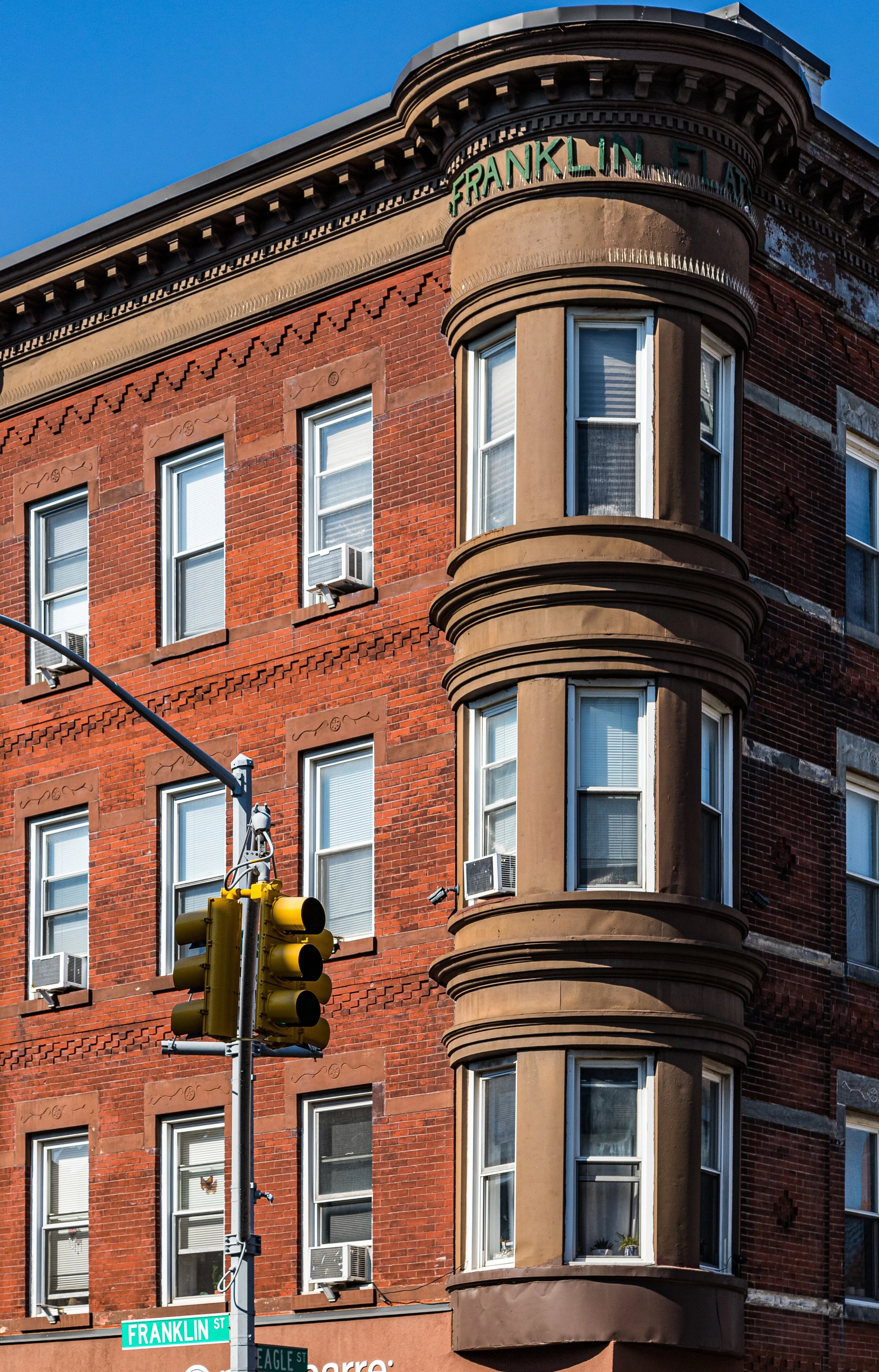
The 19th-century built environment reflected its dual identity: utilitarian warehouses and elegant civic buildings side by side. The Astral Apartments, built by Pratt in 1885 for his workers, stand as one of the country’s earliest examples of model tenement housing, combining humane design with architectural beauty.
Early 20th Century: The Working Harbor
By the early 1900s, Greenpoint was a self-sufficient industrial town within the city. Tugboats, barges, and ferries filled the creeks; the air was heavy with coal smoke and sawdust. Yet amid the grit, Greenpoint maintained a sense of order and pride. McCarren Park, opened in 1906, provided open space, while the Eberhard Faber Pencil Factory symbolized craftsmanship and innovation.
Through the Depression and both World Wars, the neighborhood’s factories supplied munitions, machinery, and materials vital to the nation’s economy. Its Polish, Italian, and Irish residents maintained strong cultural networks through parishes, clubs, and unions. Rowhouses and tenements stood shoulder to shoulder with machine shops, giving Greenpoint a lived-in intimacy rare even for Brooklyn.
Greenpoint Video Coming Soon
Mid- to Late 20th Century: Decline and Defiance
The postwar decades brought profound change. Deindustrialization emptied the warehouses, and the closure of shipyards and refineries left behind environmental scars—most notoriously the Greenpoint Oil Spill, discovered in the 1970s, which released millions of gallons of petroleum beneath the neighborhood. Yet residents stayed. The Polish community remained strong; block associations and church groups preserved order when city neglect loomed.
In the 1980s and 1990s, artists and young professionals began discovering Greenpoint’s affordable lofts and proximity to Manhattan. The Greenpoint Terminal Market, once a sprawling industrial complex, became an unofficial cultural landmark for concerts, studios, and street art. The waterfront—long off-limits—slowly reopened through grassroots activism.
21st Century: Renewal and Reckoning
The 2005 rezoning of the Greenpoint-Williamsburg waterfront marked a new chapter. Luxury towers now rise where warehouses once stood, and parks such as Transmitter Park and the emerging Bushwick Inlet Park reconnect residents to the river. The G train hums through the neighborhood’s core, linking its past to a modern city in motion.
Yet the transformation brings tension: rising rents and the erosion of the old working-class fabric. The Polish delis, still fragrant with smoked meats and pierogi, coexist with cafés and design studios. The skyline, once defined by smokestacks, now bristles with glass towers. Greenpoint stands at a crossroads—renewed but watchful, seeking to balance progress with preservation.
Greenpoint Photo Gallery
Architecture and Atmosphere
Architecturally, Greenpoint remains a masterpiece of continuity. Italianate and neo-Grec rowhouses, red-brick factories, and Gothic Revival churches line the narrow streets, their cornices casting deep shadows in the afternoon light. The Eberhard Faber complex, with its yellow-brick facades and pencil insignia, anchors the industrial memory, while new developments along West Street and Kent Avenue bring a contemporary counterpoint.
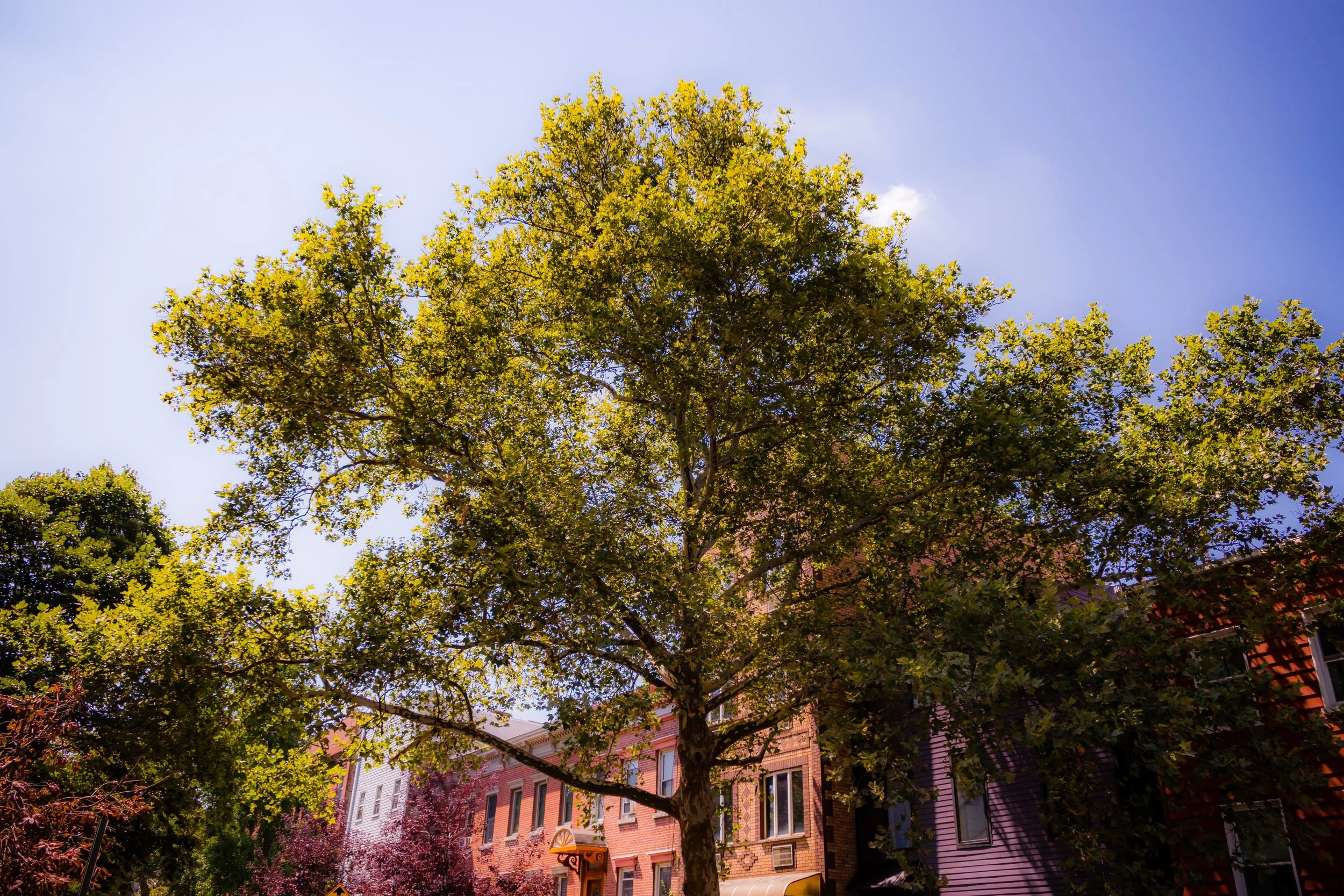
The sensory experience endures: the tang of the river, the faint hum of tugboats, the laughter spilling from Polish bakeries and new restaurants alike. The neighborhood’s gridded calm, punctuated by glimpses of the skyline across the East River, lends it a sense of place both immediate and eternal.
Spirit and Legacy
Greenpoint’s spirit lies in its duality — industry and artistry, endurance and evolution. It has known prosperity and pollution, insularity and influx, yet through all, it has remained unmistakably itself: independent, self-reliant, and quietly proud.
New York City
Use this custom Google map to explore where every neighborhood in all five boroughs of New York City is located.
The Five Boroughs
One of New York City’s unique qualities is its organization in to 5 boroughs: Manhattan, Brooklyn, Queens, The Bronx, and Staten Island. These boroughs are part pragmatic administrative districts, and part vestiges of the region’s past. Each borough is an entire county in New York State - in fact, Brooklyn is, officially, Kings County, while Staten Island is, officially Richmond County. But that’s not the whole story …
Initially, New York City was located on the southern tip of Manhattan (now the Financial District) that was once the Dutch colony of New Amsterdam. Across the East River, another city was rising: Brooklyn. In time, the city planners realized that unification between the rapidly rising cities would create commercial and industrial opportunities - through streamlined administration of the region.
So powerful was the pull of unification between New York and Brooklyn that three more counties were pulled into the unification: The Bronx, Queens, and Staten Island. And on January 1, 1898, the City of New York unified two cities and three counties into one Greater City of New York - containing the five boroughs we know today.
But because each borough developed differently and distinctly until unification, their neighborhoods likewise uniquely developed. Today, there are nearly 390 neighborhoods, each with their own histories, cultures, cuisines, and personalities - and each with residents who are fiercely proud of their corner of The Big Apple.


