
MURRAY HILL
Queens
Geographic Setting
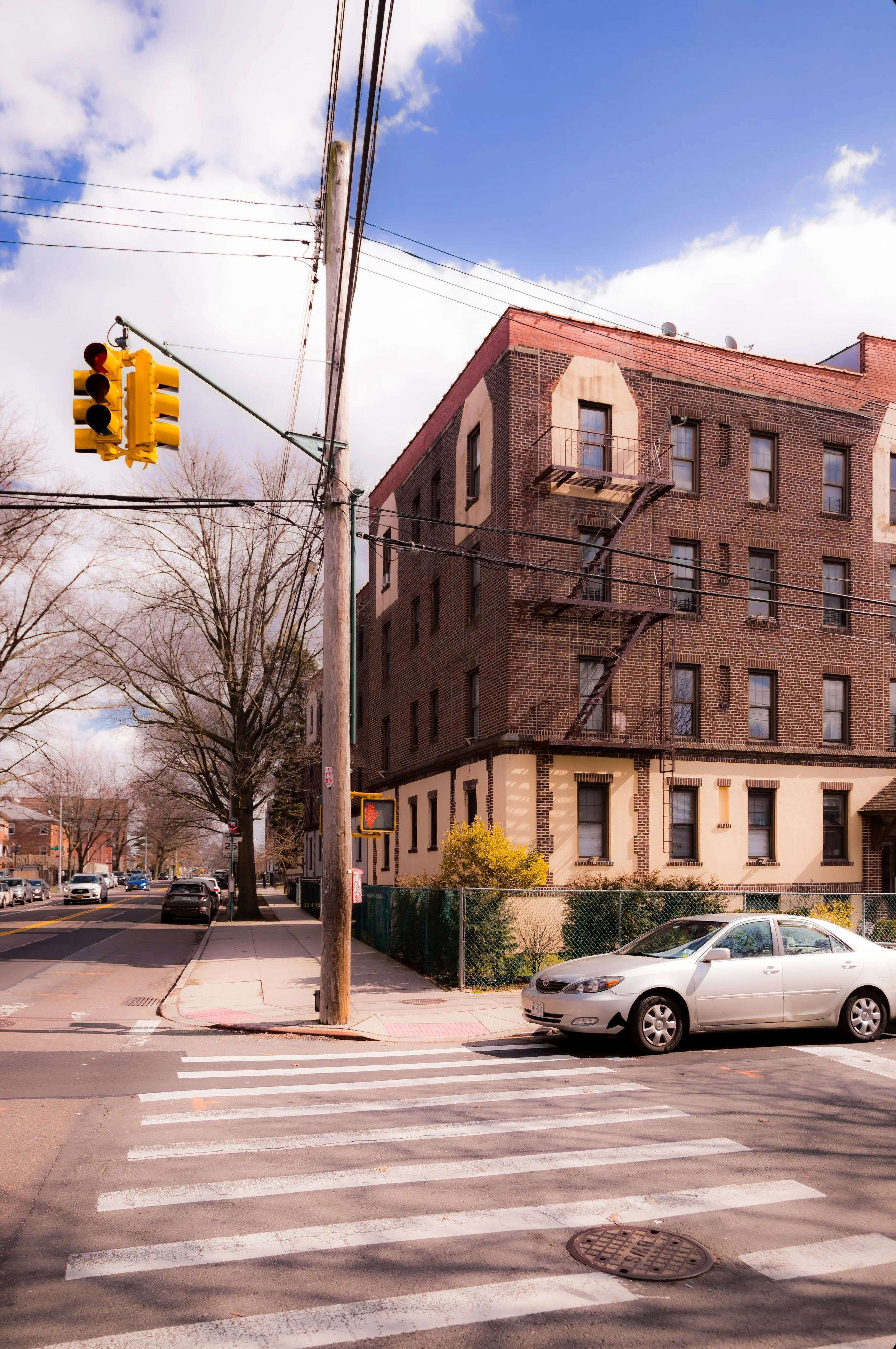
Bounded by Northern Boulevard to the north, 162nd Street to the east, 46th Avenue to the south, and Parsons Boulevard to the west, Murray Hill occupies a gently rising plateau in north-central Queens, forming a tranquil residential district between Flushing and Auburndale. The neighborhood’s atmosphere is one of quiet domesticity—a landscape of tree-lined streets, brick rowhouses, and modest two-story homes, interspersed with churches, schools, and local businesses that cluster near its northern and western borders.
Though often considered part of greater Flushing, Murray Hill has maintained a distinct identity since the early 20th century. Its topography—marked by a subtle rise from Northern Boulevard toward 46th Avenue—gives it the “hill” in its name, while its orderly street grid and low-rise profile evoke the garden-suburban ideal that defined Queens’ prewar expansion. Murray Street, which cuts through the neighborhood’s heart, and 37th Avenue, running parallel to Northern Boulevard, serve as its main internal thoroughfares. The Murray Hill LIRR Station, located just north of Northern Boulevard, remains one of the community’s central anchors, linking residents directly to Manhattan while preserving the neighborhood’s commuter-town charm.
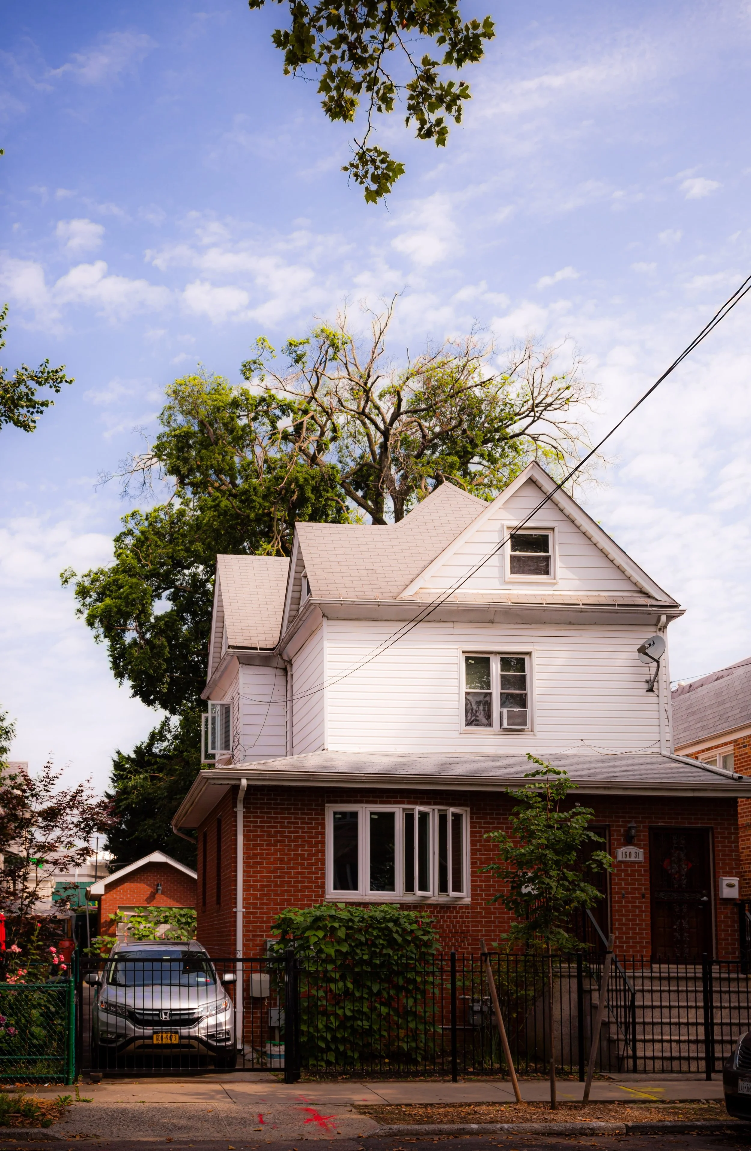
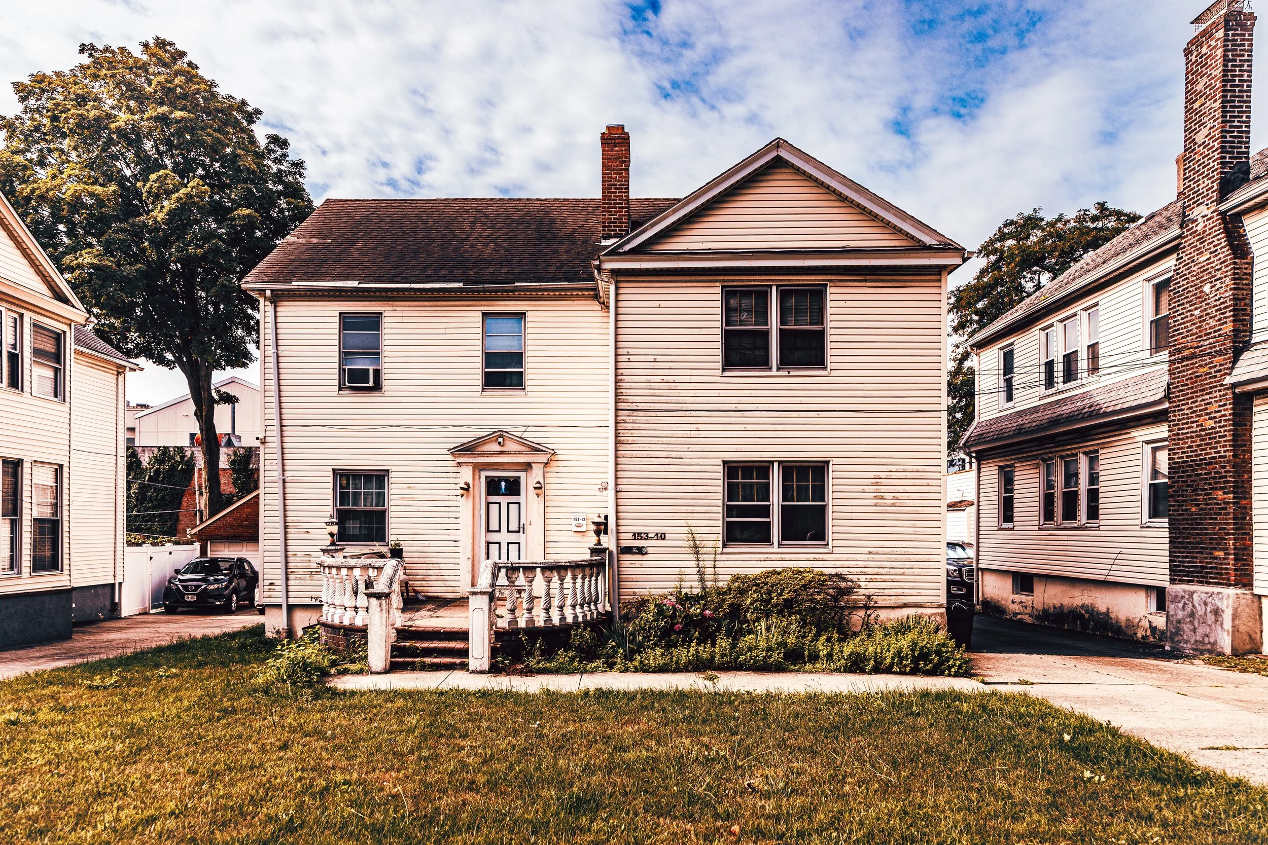
Architecturally, Murray Hill reflects nearly a century of layered growth: 1920s Tudor and Colonial Revival houses, brick apartment buildings from the 1930s–1940s, and newer multi-family homes that have appeared since the 1990s. Yet amid these changes, the area retains its low-density, family-oriented feel—part of the enduring fabric of northeast Queens.
Etymology and Origins
The name “Murray Hill” traces back to the Murray family, early colonial landowners who once held extensive tracts in both Manhattan and Flushing. Robert Murray, a prominent merchant of Scottish descent, settled in New York in the 18th century; his descendants established estates throughout the city, including this elevated section of northern Queens. When the Long Island Rail Road began running through the area in the late 19th century, the small stop that served local farms and nurseries was named Murray Hill, both to honor the family and to evoke the prestige of its Manhattan counterpart.
Before suburbanization, the region was part of the Town of Flushing, a patchwork of orchards, greenhouses, and estate lands. The fertile soil and gentle elevation made it ideal for horticulture, and by the late 1800s the area was dotted with nurseries that contributed to Flushing’s reputation as the “Garden of New York.” Among the most famous was Samuel Parsons & Sons Nursery, whose legacy survives in nearby Kissena Park—a reminder that the neighborhood’s roots were literally planted in the city’s horticultural past.
The Neighborhood
19th–Early 20th Century: From Farmland to Suburban Streets
By the late 1800s, Flushing’s pastoral landscape began giving way to subdivisions marketed to professionals and tradesmen commuting to Manhattan. The Murray Hill Station, opened in 1889, quickly became the focal point for residential growth. Developers laid out orderly streets lined with shade trees, and modest yet stylish frame houses—often in Queen Anne, Colonial Revival, or Craftsman styles—rose on generous plots.
Early residents were largely of German, Irish, and English descent, drawn by Flushing’s reputation for clean air and strong schools. Churches such as St. Andrew’s Episcopal and Bowne Street Community Church provided spiritual and social centers. The proximity to Bowne House (built 1661)—one of New York’s oldest structures and a symbol of religious freedom—added historical depth to the area’s emerging identity.
Through the 1910s and 1920s, the extension of electric trolley lines and improved rail service made Murray Hill a true commuter district. Local businesses flourished along 162nd Street and Northern Boulevard, while civic associations promoted tree planting and park improvements. By the 1930s, the neighborhood’s leafy, middle-class character was well established.
Mid-20th Century: Suburban Stability and New Neighbors
The post–World War II era brought population growth and demographic change. Returning veterans found affordable homes in Murray Hill’s quiet streets, and small apartment houses filled in former vacant lots. Schools such as P.S. 22 (Thomas Jefferson School) and J.H.S. 189 Daniel Carter Beard became pillars of the community.
The 1950s and 1960s saw an influx of Italian-American and Jewish families, who added new cultural institutions and businesses along Northern Boulevard. Small bakeries, pizzerias, and family-run shops defined local commerce. Despite the citywide expansion of highways and urban renewal, Murray Hill remained a pocket of stability—its single-family zoning and rail access preserving its residential tone.
Meanwhile, Flushing’s horticultural heritage persisted nearby: remnants of nurseries and garden centers along Parsons Boulevard and Kissena Boulevard kept alive the district’s old identity as a landscape of cultivation.
Murray Hill Video Coming Soon
Mid–Late 20th Century: Postwar Stability and Cultural Change
The post–World War II decades brought a second wave of growth and subtle transformation. Returning veterans and their families filled the neighborhood’s comfortable brick homes, creating a stable, middle-income population. Murray Hill’s leafy streets and proximity to parks, particularly Kissena Corridor Park and Bowne Park, made it especially appealing to young families during the city’s suburban boom.
During the 1960s and 1970s, as much of Queens underwent demographic shifts, Murray Hill remained predominantly European-American—Irish, Italian, and Jewish families predominated—while retaining a small-town rhythm characterized by block parties, civic associations, and locally owned stores. The Murray Hill Civic Association, formed mid-century, became a leading voice in preserving the neighborhood’s low-rise zoning and opposing overdevelopment.
By the 1980s, the neighborhood began to experience cultural diversification, paralleling the dramatic transformation of Flushing into one of the largest Asian-American communities in the United States. Korean-American and later Chinese-American families settled in Murray Hill, drawn by strong schools, safe streets, and proximity to Northern Boulevard’s growing array of Asian businesses. Korean churches, language schools, and bakeries appeared along the periphery, reshaping the neighborhood’s cultural landscape while preserving its residential quietude.
21st Century: Diversity, Preservation, and Quiet Prosperity
In the 21st century, Murray Hill has matured into one of Queens’ most quietly cosmopolitan neighborhoods. Its population reflects the borough’s full spectrum—Korean, Chinese, South Asian, and Latino families live alongside older Italian and Irish residents—while its streetscape retains the visual harmony of its prewar origins. Along Northern Boulevard, a vibrant commercial district has taken shape: Korean barbecue restaurants, Asian supermarkets, bubble tea shops, and English academies coexist with older pizzerias and corner markets, forming a microcosm of Queens’ multicultural economy.
Zoning protections have kept Murray Hill’s scale low, limiting the rise of large apartment towers that have transformed downtown Flushing. Instead, tasteful renovations and occasional new two-family homes define the neighborhood’s architectural evolution. Parks, civic groups, and community boards continue to advocate for sustainable growth, traffic safety, and the preservation of green spaces that once defined Flushing’s horticultural heart.
The Murray Hill LIRR Station, renovated in the 2010s, remains a symbol of the neighborhood’s continuity—a modest platform surrounded by cherry trees, where commuters wait amid the same quiet hum that has characterized the area for more than a century.
Murray Hill Photo Gallery
Spirit and Legacy
Murray Hill’s enduring spirit lies in its balance of constancy and renewal. Rooted in Flushing’s agrarian past yet shaped by modern immigration and adaptation, it embodies the evolution of Queens itself—a neighborhood where modest houses, quiet streets, and cultural richness coexist in harmony.
New York City
Use this custom Google map to explore where every neighborhood in all five boroughs of New York City is located.
The Five Boroughs
One of New York City’s unique qualities is its organization in to 5 boroughs: Manhattan, Brooklyn, Queens, The Bronx, and Staten Island. These boroughs are part pragmatic administrative districts, and part vestiges of the region’s past. Each borough is an entire county in New York State - in fact, Brooklyn is, officially, Kings County, while Staten Island is, officially Richmond County. But that’s not the whole story …
Initially, New York City was located on the southern tip of Manhattan (now the Financial District) that was once the Dutch colony of New Amsterdam. Across the East River, another city was rising: Brooklyn. In time, the city planners realized that unification between the rapidly rising cities would create commercial and industrial opportunities - through streamlined administration of the region.
So powerful was the pull of unification between New York and Brooklyn that three more counties were pulled into the unification: The Bronx, Queens, and Staten Island. And on January 1, 1898, the City of New York unified two cities and three counties into one Greater City of New York - containing the five boroughs we know today.
But because each borough developed differently and distinctly until unification, their neighborhoods likewise uniquely developed. Today, there are nearly 390 neighborhoods, each with their own histories, cultures, cuisines, and personalities - and each with residents who are fiercely proud of their corner of The Big Apple.


