
SANDY GROUND
Staten Island
Geographic Setting
Bounded by Drumgoole Road and the Korean War Veterans Parkway to the south, the West Shore Expressway to the west, Woodrow Road to the north, and Maguire Avenue to the east, Sandy Ground lies within the gentle lowlands of Staten Island’s southwestern interior, nestled between Rossville and Pleasant Plains. Its landscape is a patchwork of quiet residential streets, woodlands, and open clearings, with pockets of preserved farmland and wetlands still echoing the terrain that shaped its earliest settlement. The neighborhood occupies a slight elevation above the Arthur Kill and Fresh Kills waterways, its sandy soil—remnant of ancient coastal deposits—giving the community both its name and its agricultural fertility.
Today, Sandy Ground remains distinct within the larger suburban expanse of Staten Island’s South Shore. Though new homes and highways encircle it, the heart of the neighborhood—anchored by the Sandy Ground Historical Museum and the Rossville A.M.E. Zion Church—preserves a rare continuity with the 19th century. It is at once a living community and a national treasure: one of the oldest continuously inhabited settlements of free African Americans in the United States.
Etymology
The name Sandy Ground is both descriptive and symbolic. The phrase originally referred to the area’s naturally sandy, well-drained soil, ideal for farming and easy to cultivate. Early residents—many of them farmers and oyster harvesters—adopted the name informally in the early 19th century, and it appeared on maps as early as the 1840s. Over time, Sandy Ground came to signify more than its soil; it embodied freedom, resilience, and community.
To generations of Staten Islanders and historians alike, the name evokes the story of African American perseverance—a settlement founded on land purchased by free Black families in an age when slavery still defined much of the nation. “Sandy Ground” thus became a metaphor as much as a place: solid ground for those determined to build lives of liberty and dignity from the very earth itself.
The Neighborhood
Origins through the 19th Century
Sandy Ground’s origins trace to the early 19th century, when free Black families—many formerly enslaved and others born free in Maryland, Delaware, and Virginia—migrated northward seeking opportunity and autonomy. Staten Island, with its affordable farmland and proximity to the oyster-rich waters of the Raritan Bay and Arthur Kill, offered both. Beginning around 1828, African American settlers purchased parcels of land in what was then the rural township of Westfield, establishing homesteads, farms, and businesses that formed the foundation of the Sandy Ground community.
Among the earliest settlers were the Browns, Harrises, Stewards, Pines, and Houses, families whose names would endure through generations. Many were skilled oystermen, continuing a maritime tradition that had thrived for centuries along the Chesapeake Bay. Their expertise helped make Staten Island’s oyster industry one of the most productive in the nation, with Sandy Ground residents working the tidal flats of Prince’s Bay and the Arthur Kill.
Religion and education quickly followed settlement. In 1850, residents founded the Rossville A.M.E. Zion Church, which became both spiritual and civic heart of the community. The church and its adjoining cemetery remain among the oldest active African Methodist Episcopal Zion institutions in the United States. A schoolhouse, established soon after, provided education to local children long before Staten Island’s public system reached the South Shore.
By the 1860s, Sandy Ground was a thriving rural village of roughly 100 families. Its residents owned property, operated small farms, and participated in the oyster economy that sustained much of Staten Island’s South Shore. Oral histories and archival evidence suggest that some families also assisted with the Underground Railroad, offering refuge to freedom seekers en route north. Through their labor and land ownership, Sandy Ground’s residents created a model of Black self-sufficiency and resilience decades before emancipation was fully realized across the United States.
Early 20th Century: Endurance Through Change
The early 20th century brought both stability and hardship to Sandy Ground. The community’s relative isolation—bounded by woodlands and marshes—protected its way of life, but changes in the oyster industry proved devastating. By the 1910s, pollution from upstream industrialization in the Arthur Kill and Raritan Bay rendered shellfish harvesting unsafe, collapsing the local economy that had sustained Sandy Ground for generations. Many families turned to farming, carpentry, or domestic work, while others moved northward to seek employment in New Jersey or Manhattan.
Despite economic challenges, Sandy Ground remained a cohesive, self-sustaining enclave. Families continued to own their homes and land—an achievement made remarkable by the racial climate of the era. The Rossville A.M.E. Zion Church stood as both anchor and archive, preserving records of births, marriages, and community gatherings that traced back to the 1850s. Social organizations, such as the Order of the Eastern Star, maintained civic engagement, while family reunions and church picnics kept traditions alive.
During this period, the neighborhood’s boundaries remained largely unchanged: a rural settlement of farms and modest cottages surrounded by woods. Even as Staten Island’s population grew elsewhere, Sandy Ground retained its sense of separateness—quiet, proud, and deeply rooted.
Sandy Ground Video Coming Soon
Mid–Late 20th Century: Fire, Preservation, and Renewal
The mid-20th century proved a time of tragedy and transformation. In 1963, a massive brush fire swept through the area, destroying more than two dozen homes and displacing many families who had lived on the land for generations. The disaster marked a turning point in the community’s history, dispersing residents and erasing physical traces of 19th-century Sandy Ground. Yet from this loss came a powerful movement of remembrance and preservation.
In the years that followed, surviving families, historians, and community leaders united to document Sandy Ground’s remarkable legacy. The Sandy Ground Historical Society, founded in the 1970s, became the steward of this history. The society established the Sandy Ground Historical Museum on Woodrow Road, preserving photographs, family Bibles, oyster tools, and oral histories that tell the story of America’s oldest continuously inhabited free Black community. The museum—staffed largely by descendants of original settlers—has since become a cornerstone of Staten Island’s cultural identity.
Meanwhile, suburban development encroached around the historic core. The construction of the West Shore Expressway in the 1970s and the Korean War Veterans Parkway to the south defined new physical boundaries, while housing developments filled former farmlands. Yet even amid this growth, a protected nucleus of historic properties remained, recognized by city and state designations as an irreplaceable link to America’s past.
21st Century: Heritage and Living History
In the 21st century, Sandy Ground stands as both neighborhood and monument—a living reminder of the endurance of freedom, family, and faith. The Sandy Ground Historical Museum, operated by descendants of the founding families, continues to educate visitors, researchers, and schoolchildren about the community’s extraordinary history. Exhibits explore the lives of oystermen, the resilience of Black landowners, and the social networks that made Sandy Ground a model of self-sufficiency and pride.
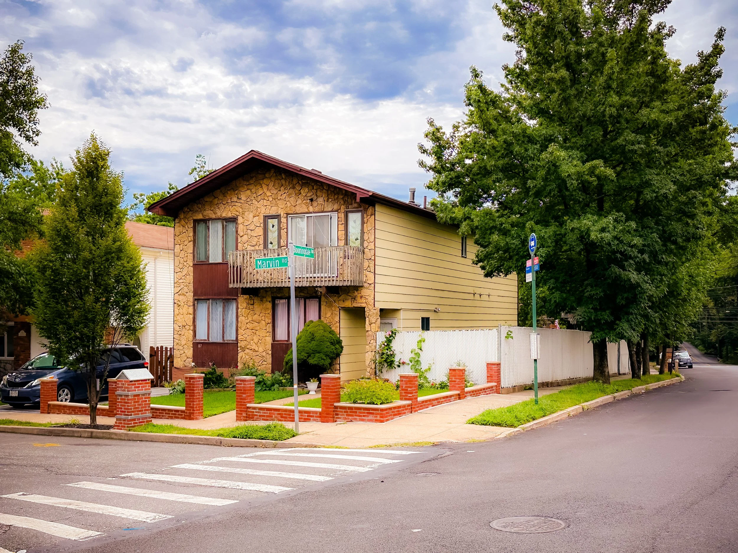
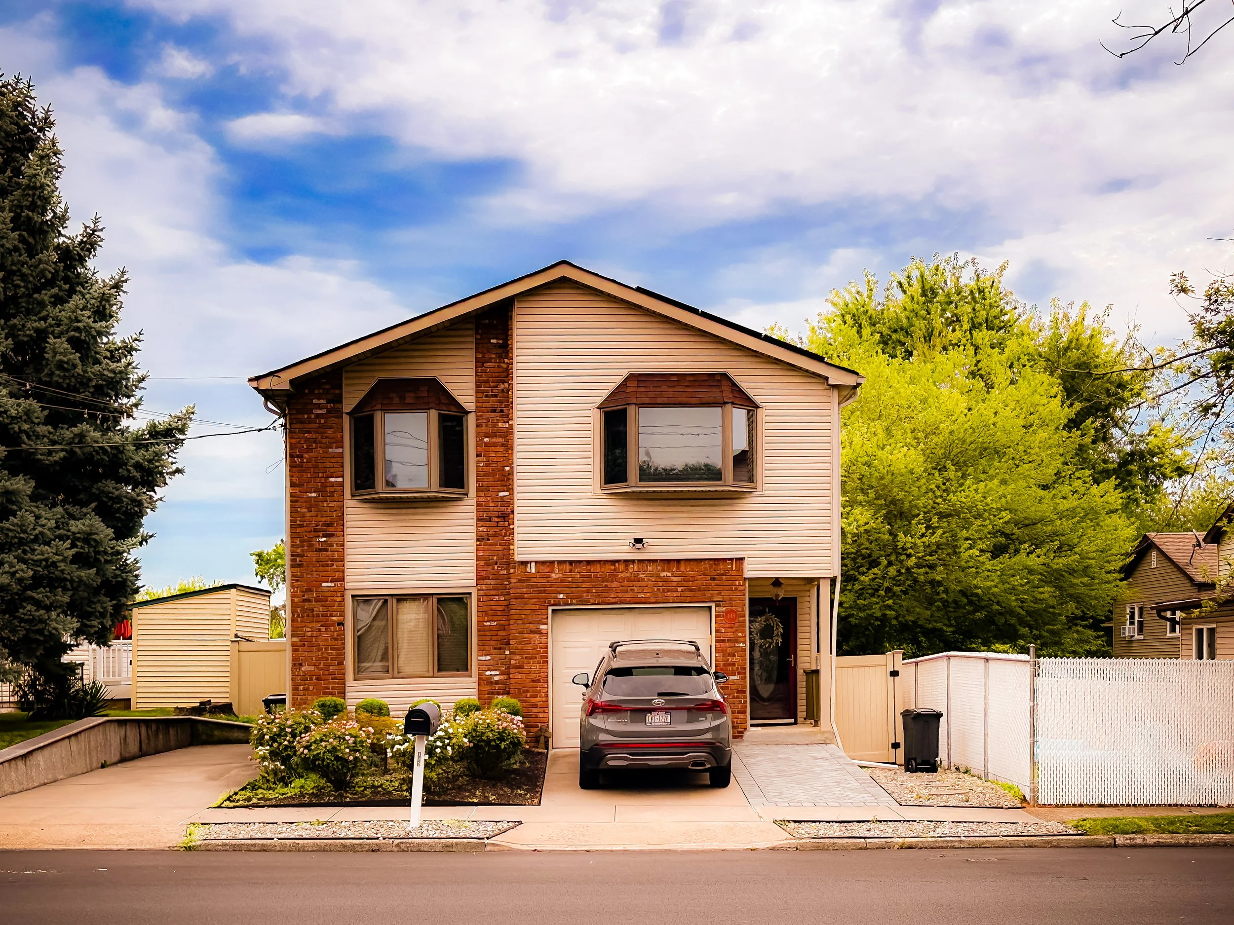
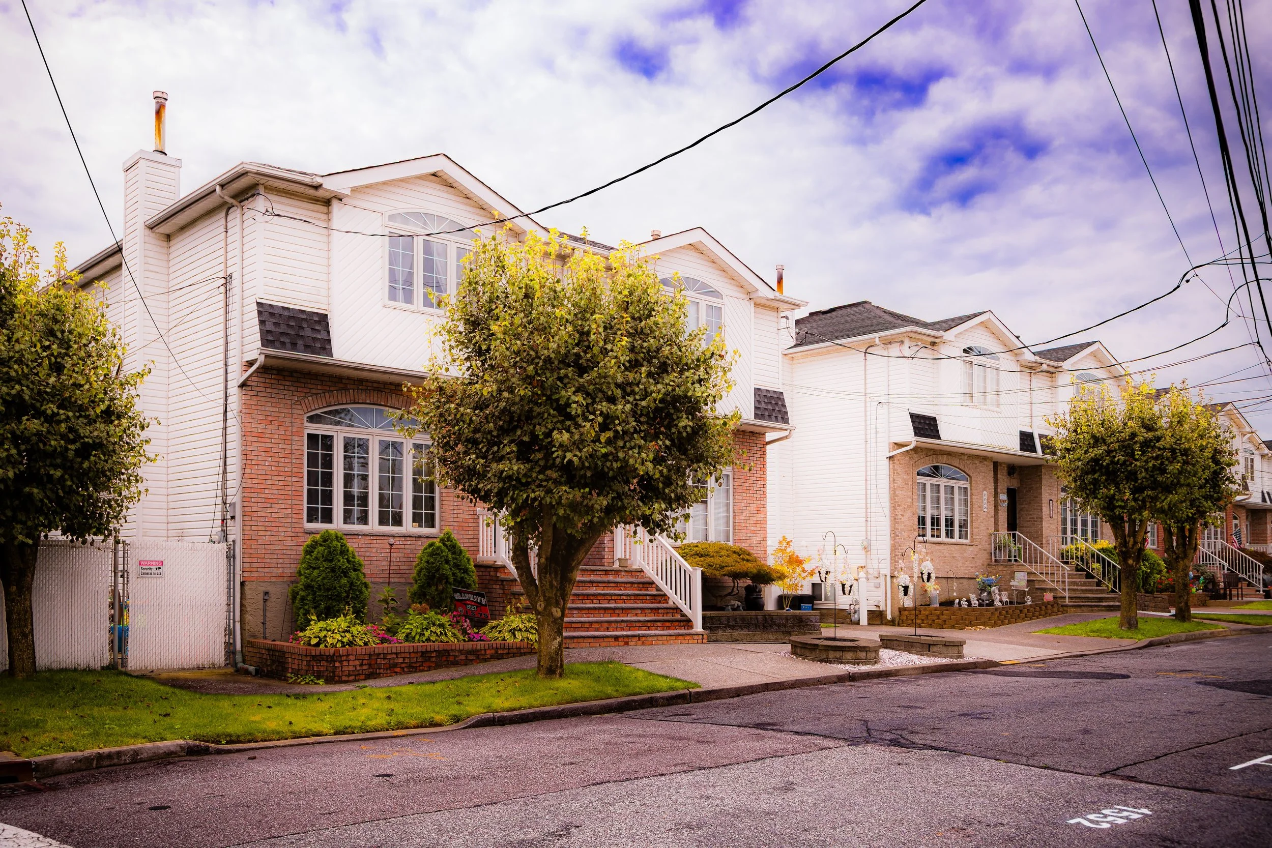
The surrounding residential area blends new suburban homes with preserved historic sites. Modern infrastructure has brought accessibility, but the neighborhood’s sense of identity remains strong. Annual events such as the Sandy Ground Festival celebrate African American history and Staten Island heritage through music, food, and storytelling. The Rossville A.M.E. Zion Church still holds services every Sunday, its cemetery a sacred resting place for generations of pioneers who forged a life of liberty on this soil.
Environmental stewardship has also become central to the area’s modern story. Adjacent parklands and wetlands are now part of the Staten Island Bluebelt system, ensuring that Sandy Ground’s ecological heritage is preserved alongside its cultural one. The interplay between conservation and commemoration has made the neighborhood a vital link in Staten Island’s broader narrative of balance between growth and remembrance.
Sandy Ground Photo Gallery
Spirit and Legacy
The spirit of Sandy Ground is one of liberation, perseverance, and belonging. Born from the courage of free Black families who claimed their right to land and livelihood, it has endured for nearly two centuries through war, discrimination, and displacement. Its legacy extends far beyond Staten Island: it stands as a national symbol of African American agency and community building in the face of systemic oppression.
Within its modest homes, its churchyard, and its museum, the story of Sandy Ground continues to unfold—one of family continuity, faith, and unbroken connection to the land. Here, freedom was not an abstract idea but a daily practice, cultivated in gardens, hymns, and shared labor.
New York City
Use this custom Google map to explore where every neighborhood in all five boroughs of New York City is located.
The Five Boroughs
One of New York City’s unique qualities is its organization in to 5 boroughs: Manhattan, Brooklyn, Queens, The Bronx, and Staten Island. These boroughs are part pragmatic administrative districts, and part vestiges of the region’s past. Each borough is an entire county in New York State - in fact, Brooklyn is, officially, Kings County, while Staten Island is, officially Richmond County. But that’s not the whole story …
Initially, New York City was located on the southern tip of Manhattan (now the Financial District) that was once the Dutch colony of New Amsterdam. Across the East River, another city was rising: Brooklyn. In time, the city planners realized that unification between the rapidly rising cities would create commercial and industrial opportunities - through streamlined administration of the region.
So powerful was the pull of unification between New York and Brooklyn that three more counties were pulled into the unification: The Bronx, Queens, and Staten Island. And on January 1, 1898, the City of New York unified two cities and three counties into one Greater City of New York - containing the five boroughs we know today.
But because each borough developed differently and distinctly until unification, their neighborhoods likewise uniquely developed. Today, there are nearly 390 neighborhoods, each with their own histories, cultures, cuisines, and personalities - and each with residents who are fiercely proud of their corner of The Big Apple.


