BAYSWATER
Queens
Geographic Setting
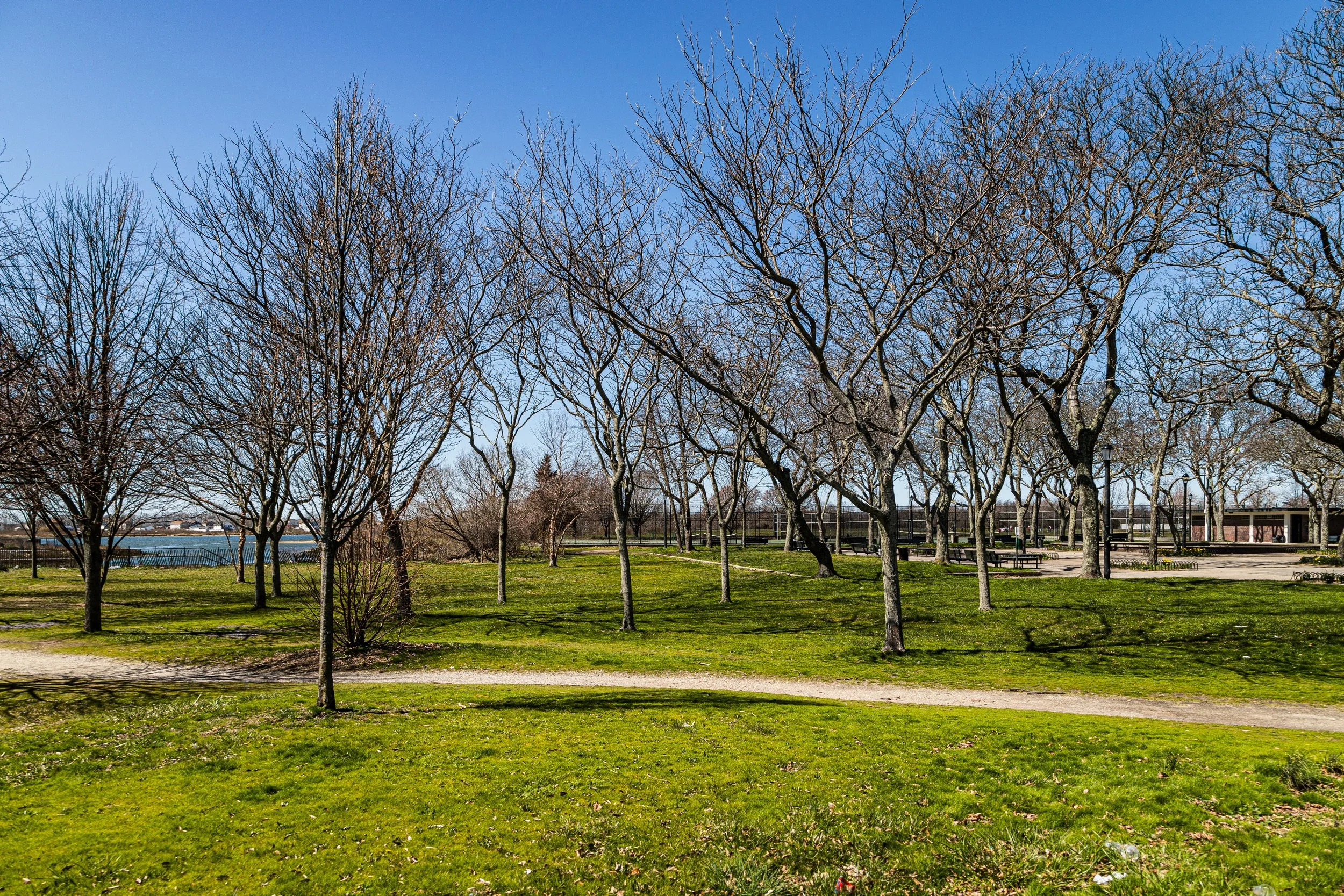
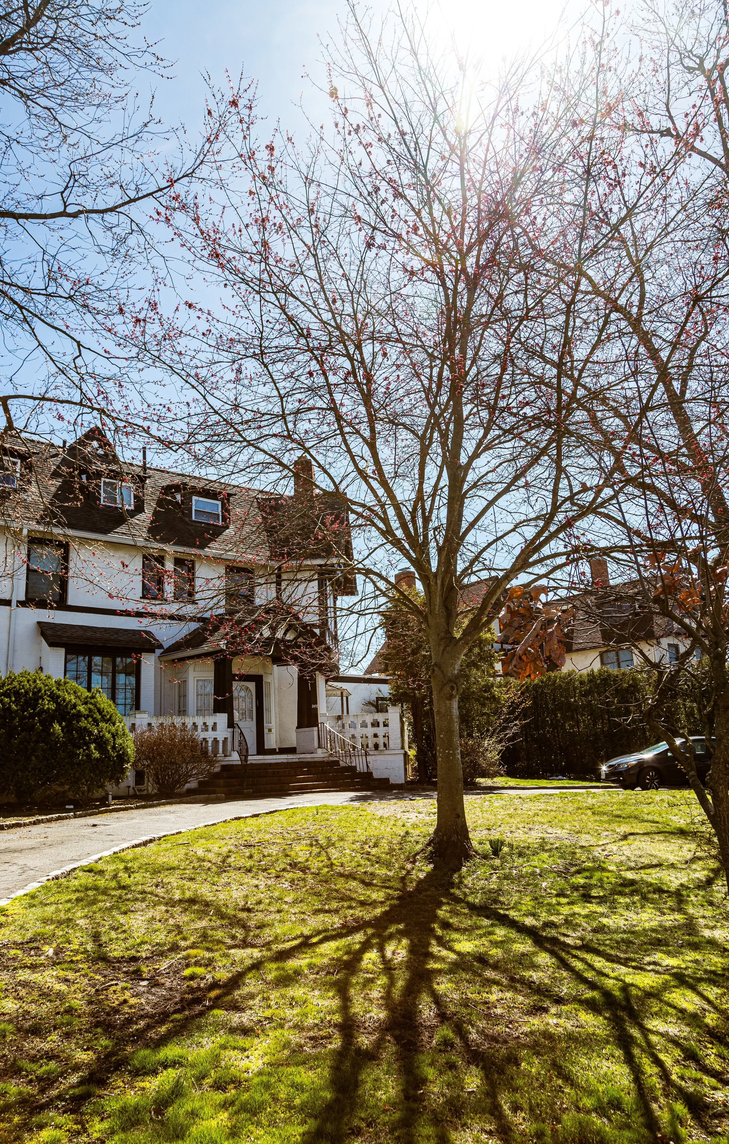
Situated on the western edge of the Rockaway Peninsula, Bayswater lies along the calm waters of Mott Basin and Jamaica Bay, bordered by Far Rockaway to the east, Arverne to the west, and the Norton Basin wetlands to the north. Its boundaries roughly span Bay 32nd to Bay 28th Streets, enclosed by Nameoke Avenue, Healy Avenue, and the Bayswater Point State Park shoreline. Unlike the Atlantic-facing neighborhoods farther south, Bayswater opens onto quiet inlets, creeks, and salt marshes—a sheltered, reflective landscape distinct from the crashing surf only a mile away. Its tree-canopied streets, detached homes, and turn-of-the-century estates give it a village-like atmosphere within the city’s southernmost reaches.
Etymology and Origins
Bayswater’s name, coined in the 1870s, echoed that of the fashionable London district of the same name—an intentional choice by 19th-century developers seeking to evoke refinement and gentility. The area was originally part of the Cornaga family farm, later subdivided by the Lawrence and Mott families, early settlers of the Rockaways. In the 1870s, English-born entrepreneur Louis Hammel envisioned a seaside resort and suburban retreat here for New Yorkers seeking bay breezes and tranquility. His Bayswater Land Company plotted curving streets and built grand summer villas, giving the area a genteel tone that distinguished it from the more transient resort atmosphere of nearby Far Rockaway Beach.
The Neighborhood
Late 19th–Early 20th Century: A Suburban and Resort Hybrid
By the 1880s, Bayswater had become a favored destination for those who desired proximity to the sea but the calm of the bay. Elegant summer residences—Victorian and Queen Anne in style—rose along Bayswater Court, Healy Avenue, and Mott Avenue. Many families from Brooklyn and Manhattan spent entire seasons here, traveling via the Long Island Rail Road’s Far Rockaway Branch, which provided direct access from Penn Station to the Bayswater Station. The neighborhood developed its own amenities: small hotels, yacht clubs, and boardinghouses catering to visitors who sought a quiet alternative to the boisterous oceanfront.
The area’s shoreline also supported early maritime industries—boatbuilding, fishing, and shellfishing—tied to Jamaica Bay’s once-abundant estuarine ecosystem. Churches such as St. John’s Episcopal Church (founded 1878) and civic groups anchored the growing community, which maintained an air of retreat even as other parts of the Rockaways urbanized.
Mid-20th Century: Transition and Change
The early 20th century brought dramatic shifts. As automobiles replaced rail vacations and the Rockaways grew denser, Bayswater transitioned from a seasonal enclave to a year-round residential neighborhood. By the 1930s and 1940s, many of its grand summer homes had been converted into private dwellings or subdivided boardinghouses. The construction of Rockaway Freeway and public housing developments in nearby Far Rockaway altered the peninsula’s social landscape, while recurrent storms tested Bayswater’s resilience.
After World War II, the neighborhood’s population diversified rapidly. Jewish families, followed by African American and Caribbean residents, established strong communities. Institutions such as Yeshiva of South Shore and Hebrew Institute of Far Rockaway reflected the area’s vibrant Jewish presence in the mid-20th century, while civic organizations worked to address housing and infrastructure needs. Despite economic challenges in the 1970s and 1980s, Bayswater retained a quiet dignity—its detached houses and tree-shaded blocks sheltering it from the turbulence affecting other Rockaway districts.
Bayswater Video Coming Soon
Late 20th Century: Prestige, Preservation, and Identity
Through the 1960s–1990s, Beechhurst stood as one of Queens’ most stable and affluent enclaves. Many of the original early 20th-century estates were replaced with mid-century brick Colonials or split-levels, yet the area retained its low-rise, spacious character. Co-ops and condominium developments along Powell’s Cove Boulevard, such as the LeHavre on the Water complex (built in the 1950s–60s), redefined luxury living for a new era—offering panoramic views, landscaped courtyards, and amenities like pools and tennis courts.
The community’s identity remained tied to its waterfront location. Yacht clubs, marinas, and promenade paths along Little Bay and the East River became fixtures of neighborhood life. The Clearview Park Golf Course to the south and the proximity of Fort Totten Park further reinforced the sense of green insulation. During these decades, Beechhurst’s population diversified gradually, with Italian-American, Greek, Jewish, and later Asian-American families all contributing to its evolving cultural fabric.
Despite these demographic changes, the neighborhood maintained a consistent standard of care and prestige. Local civic associations organized beautification efforts and lobbied to maintain zoning that limited overdevelopment. Beechhurst’s defining atmosphere—serene, maritime, and well-kept—remained remarkably intact.
21st Century: Waterfront Renewal and Enduring Exclusivity
In the 2000s and 2010s, Beechhurst entered a new phase of quiet renewal. Property values rose steadily as demand for coastal living within New York City increased. Many older houses were renovated or rebuilt as custom-designed homes with expansive windows, terraces, and bay views. The LeHavre on the Water complex underwent major modernization, while new condominiums near Powell’s Cove Boulevard introduced contemporary architecture into the established landscape.
The waterfront has become more accessible through the expansion of Little Bay Park and the Joe Michael’s Mile Greenway, part of the Northeast Queens Greenway connecting to Fort Totten and Cunningham Park. These additions provide cycling, jogging, and walking routes along the water—offering residents panoramic views of the Throgs Neck and Whitestone Bridges and the shimmer of the East River at dawn and dusk.
Despite modernization, Beechhurst retains an aura of exclusivity born not of gates or grandeur, but of geography and continuity. Its quiet, well-tended streets, mature trees, and sea air evoke a bygone suburban ideal that persists on the city’s edge. The balance of single-family homes, co-ops, and parks creates a landscape where density and open space coexist in harmony—a rarity in contemporary New York.
Bayswater Photo Gallery
Spirit and Legacy
Beechhurst’s legacy is inseparable from the water that surrounds it. Its story—shaped by tides, bridges, and the dreams of those seeking peace within reach of the city—embodies the evolution of Queens itself: from farmland to resort, from suburb to enduring community. It has weathered both storms and transformations without losing its essential grace.

New York City
Use this custom Google map to explore where every neighborhood in all five boroughs of New York City is located.
The Five Boroughs
One of New York City’s unique qualities is its organization in to 5 boroughs: Manhattan, Brooklyn, Queens, The Bronx, and Staten Island. These boroughs are part pragmatic administrative districts, and part vestiges of the region’s past. Each borough is an entire county in New York State - in fact, Brooklyn is, officially, Kings County, while Staten Island is, officially Richmond County. But that’s not the whole story …
Initially, New York City was located on the southern tip of Manhattan (now the Financial District) that was once the Dutch colony of New Amsterdam. Across the East River, another city was rising: Brooklyn. In time, the city planners realized that unification between the rapidly rising cities would create commercial and industrial opportunities - through streamlined administration of the region.
So powerful was the pull of unification between New York and Brooklyn that three more counties were pulled into the unification: The Bronx, Queens, and Staten Island. And on January 1, 1898, the City of New York unified two cities and three counties into one Greater City of New York - containing the five boroughs we know today.
But because each borough developed differently and distinctly until unification, their neighborhoods likewise uniquely developed. Today, there are nearly 390 neighborhoods, each with their own histories, cultures, cuisines, and personalities - and each with residents who are fiercely proud of their corner of The Big Apple.


