
ELTINGVILLE
Staten Island
Geographic Setting
Bounded by Drumgoole Road and the Korean War Veterans Parkway to the northwest, Arthur Kill Road to the north, Armstrong Avenue to the east, Raritan Bay to the south, and a western boundary comprised of Arden Avenue, Van Brunt Street, Rye Avenue, and Annadale Road, Eltingville stands at the heart of Staten Island’s South Shore—an expansive, well-established suburban neighborhood where tree-lined streets slope gently toward the sea. Its geography bridges upland residential zones and coastal plains, blending quiet inland blocks with the salt breezes and tidal inlets of the Raritan Bay.
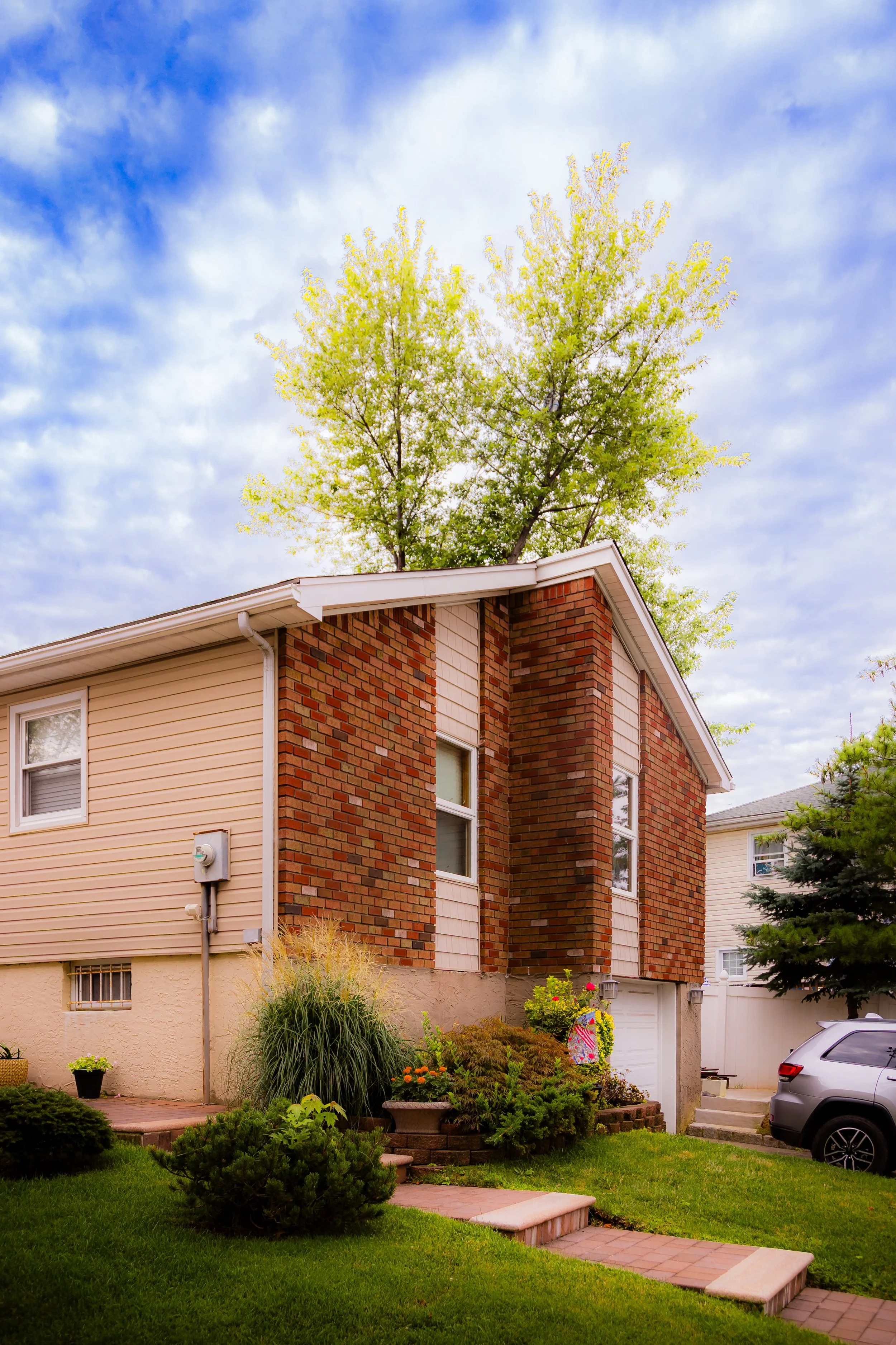
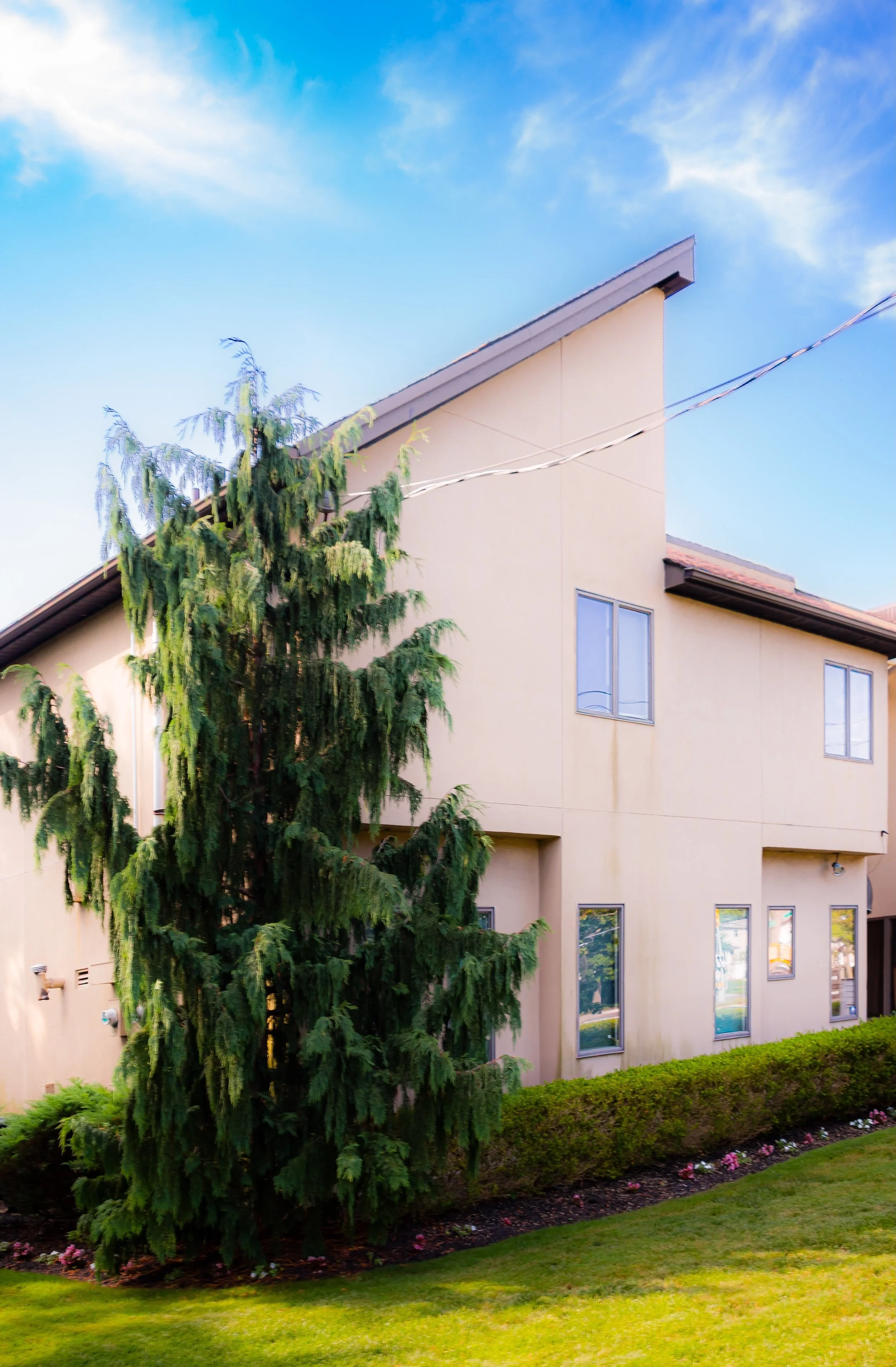
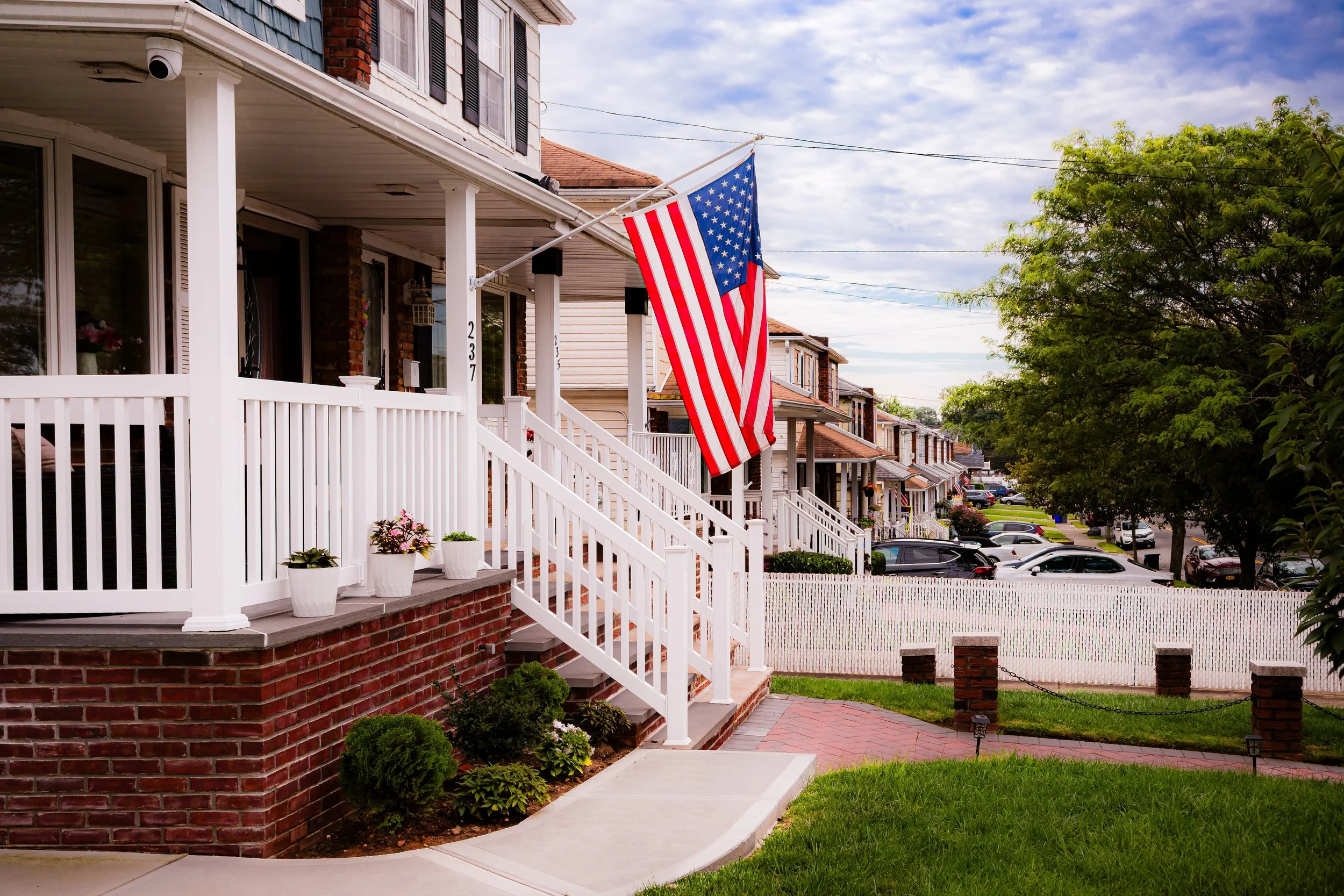
Eltingville is one of Staten Island’s quintessential postwar communities: residential, family-oriented, and deeply rooted in a strong sense of local identity. Within its bounds lie both history and modernity—the Eltingville Transit Center, a hub for express buses into Manhattan, sits just minutes from the Eltingville station on the Staten Island Railway, while stately old churches, neighborhood schools, and parks preserve its village-like charm. The major thoroughfares—Richmond Avenue, Amboy Road, and Arthur Kill Road—serve as both arteries of movement and corridors of memory, tracing paths that date to the island’s earliest colonial farms. To the south, the lowlands open toward the shoreline, where remnants of old boatyards and quiet coves still hint at the area’s maritime origins.
Etymology
The name Eltingville honors the Elting family, descendants of Dutch settlers who lived in the area during the 18th and 19th centuries. The name appeared formally in the mid-1800s, when the Staten Island Railway, completed in 1860, established a station here and local developers began promoting the area as a residential village. “Eltingville” joined the pattern of other Dutch- and English-derived neighborhood names along the South Shore—such as Annadale and Huguenot—that reflected both family lineage and aspirational identity.
Originally part of the old Town of Southfield, the area’s renaming from “South Side” to “Eltingville” marked its transformation from agricultural outpost to a distinct suburban community. The name has endured as a symbol of continuity—rooted in colonial history, yet synonymous with the modern Staten Island experience.
The Neighborhood
Origins through the 19th Century
In the 17th and 18th centuries, Eltingville’s landscape was a tapestry of farmland, salt meadows, and woodlots stretching from the shore of the Raritan Bay north toward Richmond Road. The Lenape people had long used the coastal flats for fishing and shellfishing before Dutch and English settlers arrived to establish farms and estates. The Elting and Britton families became prominent landowners, cultivating wheat, corn, and orchards while trading along the island’s inland roads and waterfront landings.
During the 19th century, the area remained sparsely settled, defined by large farms and family homesteads connected by Amboy Road—one of the island’s earliest thoroughfares—and by ferry routes that linked the South Shore to New Jersey. A small cluster of houses near what is now Richmond Avenue served as the village’s nucleus. When the Staten Island Railway opened in 1860, linking St. George to Tottenville, Eltingville gained a station and a name, quickly attracting commuters and summer visitors.
By the late 1800s, the community had begun to assume a suburban identity. The Eltingville Post Office opened in 1874, and local churches and schools followed soon after. Farms and open fields gave way to modest Victorian cottages, and a small business district formed around the station. Yet, even as new residents arrived, Eltingville retained the character of a tight-knit village framed by rural scenery and the distant glimmer of the bay.
Early 20th Century: A Village in Transition
In the early 20th century, Eltingville was a tranquil residential and farming community with unpaved streets, local dairies, and country stores. The village remained centered around the railway, with Amboy Road and Richmond Avenue as its main commercial spines. Families of Italian, Irish, and Scandinavian descent settled here, drawn by affordable land and the promise of semi-rural living within commuting distance of Manhattan.
The 1920s and 1930s saw gradual modernization: roads were improved, electricity and telephone lines expanded, and automobiles began to redefine travel along Staten Island’s south shore. Churches such as St. Alban’s Episcopal Church (1914) and Holy Child Roman Catholic Church (1966) reflected the area’s evolving spiritual and cultural diversity. The nearby Blue Heron Pond and wooded tracts offered recreation and a measure of pastoral calm, while the Raritan Bay shoreline provided both beauty and livelihood—small boatyards, clam diggers, and fishermen continued to work the coast well into the mid-century.
Throughout this period, Eltingville maintained its identity as a self-contained community, balancing the traditions of Staten Island’s rural past with the conveniences of emerging suburbia.
Eltingville Video Coming Soon
Mid–Late 20th Century: The Suburban Boom
The post–World War II era reshaped Eltingville more profoundly than any previous century. The opening of the Verrazzano-Narrows Bridge (1964) and the Korean War Veterans Parkway transformed Staten Island into a borough of commuters and suburban homeowners. Eltingville, with its railway station, wide avenues, and existing infrastructure, became one of the primary beneficiaries of this growth.
Developers built rows of split-levels, Cape Cods, and ranch houses on former farmland, attracting families from Brooklyn and Manhattan. The population surged, schools expanded, and shopping plazas emerged along Richmond Avenue, Amboy Road, and Arthur Kill Road. Despite the rapid development, Eltingville retained a distinctly suburban rhythm—quiet side streets, neighborhood parishes, and family-run stores.
In the 1970s and 1980s, the neighborhood achieved a level of stability and affluence that came to typify Staten Island’s South Shore. The Eltingville Transit Center, opened later near the parkway, cemented its status as a transportation hub for express bus commuters to Manhattan. The community’s civic groups, youth sports leagues, and churches—especially Holy Child, St. Clare’s, and local synagogues—anchored a strong sense of belonging and intergenerational continuity.
21st Century: A Mature Community by the Bay
In the 21st century, Eltingville remains one of Staten Island’s most sought-after residential neighborhoods—a symbol of the borough’s suburban ideal. Its housing stock, predominantly single-family homes with well-tended gardens, reflects decades of stability and pride of ownership. Along Amboy Road and Richmond Avenue, newer restaurants, cafés, and boutiques mingle with long-established bakeries and delis that have served the community for generations.
The Eltingville station on the Staten Island Railway continues to define the neighborhood’s rhythm, while the Transit Center connects residents directly to Midtown and Lower Manhattan. The proximity of Blue Heron Park Preserve, Arden Heights Woods, and the waterfront offers abundant green space, while the southern edges of the neighborhood retain traces of the old marshlands and tidal inlets that once defined the Raritan Bay shore.
Demographically, Eltingville has grown more diverse in recent decades, welcoming families from across New York’s cultural spectrum, yet it remains deeply rooted in its Italian-American foundation. Civic pride runs high—community cleanups, festivals, and holiday parades reaffirm the neighborhood’s sense of shared heritage and neighborliness. Though surrounded by the constant motion of the city, Eltingville’s essence remains suburban calm touched by sea air.
Eltingville Photo Gallery
Spirit and Legacy
The spirit of Eltingville lies in its continuity—its ability to evolve while preserving the values of family, community, and place. From its 19th-century roots as a farming village to its postwar transformation into a suburban anchor, Eltingville has embodied the broader story of Staten Island itself: the meeting of rural heritage and metropolitan life.
Its legacy endures in the enduring familiarity of its streets—where corner delis, parish schools, and parkways coexist with the memory of barns, boatyards, and bay breezes. Eltingville stands as the archetype of the Staten Island suburb: self-reliant yet connected, peaceful yet vital, steeped in history yet looking confidently toward the future.
New York City
Use this custom Google map to explore where every neighborhood in all five boroughs of New York City is located.
The Five Boroughs
One of New York City’s unique qualities is its organization in to 5 boroughs: Manhattan, Brooklyn, Queens, The Bronx, and Staten Island. These boroughs are part pragmatic administrative districts, and part vestiges of the region’s past. Each borough is an entire county in New York State - in fact, Brooklyn is, officially, Kings County, while Staten Island is, officially Richmond County. But that’s not the whole story …
Initially, New York City was located on the southern tip of Manhattan (now the Financial District) that was once the Dutch colony of New Amsterdam. Across the East River, another city was rising: Brooklyn. In time, the city planners realized that unification between the rapidly rising cities would create commercial and industrial opportunities - through streamlined administration of the region.
So powerful was the pull of unification between New York and Brooklyn that three more counties were pulled into the unification: The Bronx, Queens, and Staten Island. And on January 1, 1898, the City of New York unified two cities and three counties into one Greater City of New York - containing the five boroughs we know today.
But because each borough developed differently and distinctly until unification, their neighborhoods likewise uniquely developed. Today, there are nearly 390 neighborhoods, each with their own histories, cultures, cuisines, and personalities - and each with residents who are fiercely proud of their corner of The Big Apple.


