OLINVILLE
The Bronx
Geographic Setting
Bounded by East Gun Hill Road to the north, Boston Road to the east, Arnow Avenue to the south, and Bronx Park East to the west, Olinville occupies a quiet, largely residential section of the northeastern Bronx nestled between Bronx Park and Williamsbridge. Though compact, the neighborhood’s location gives it a unique dual identity—close enough to the Bronx River Parkway and the verdant stretch of Bronx Park East to feel suburban, yet threaded with the practical density of a classic Bronx grid.
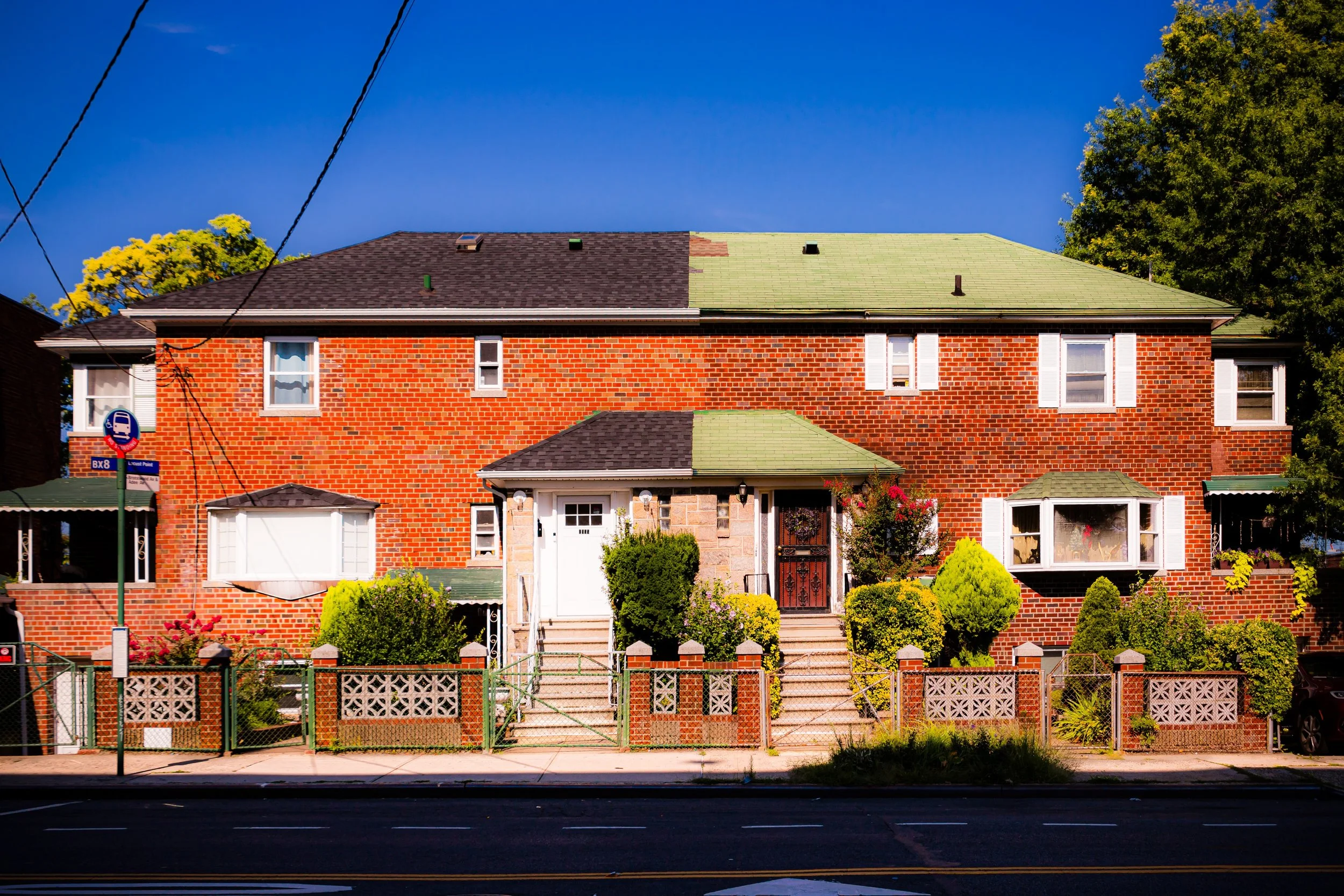
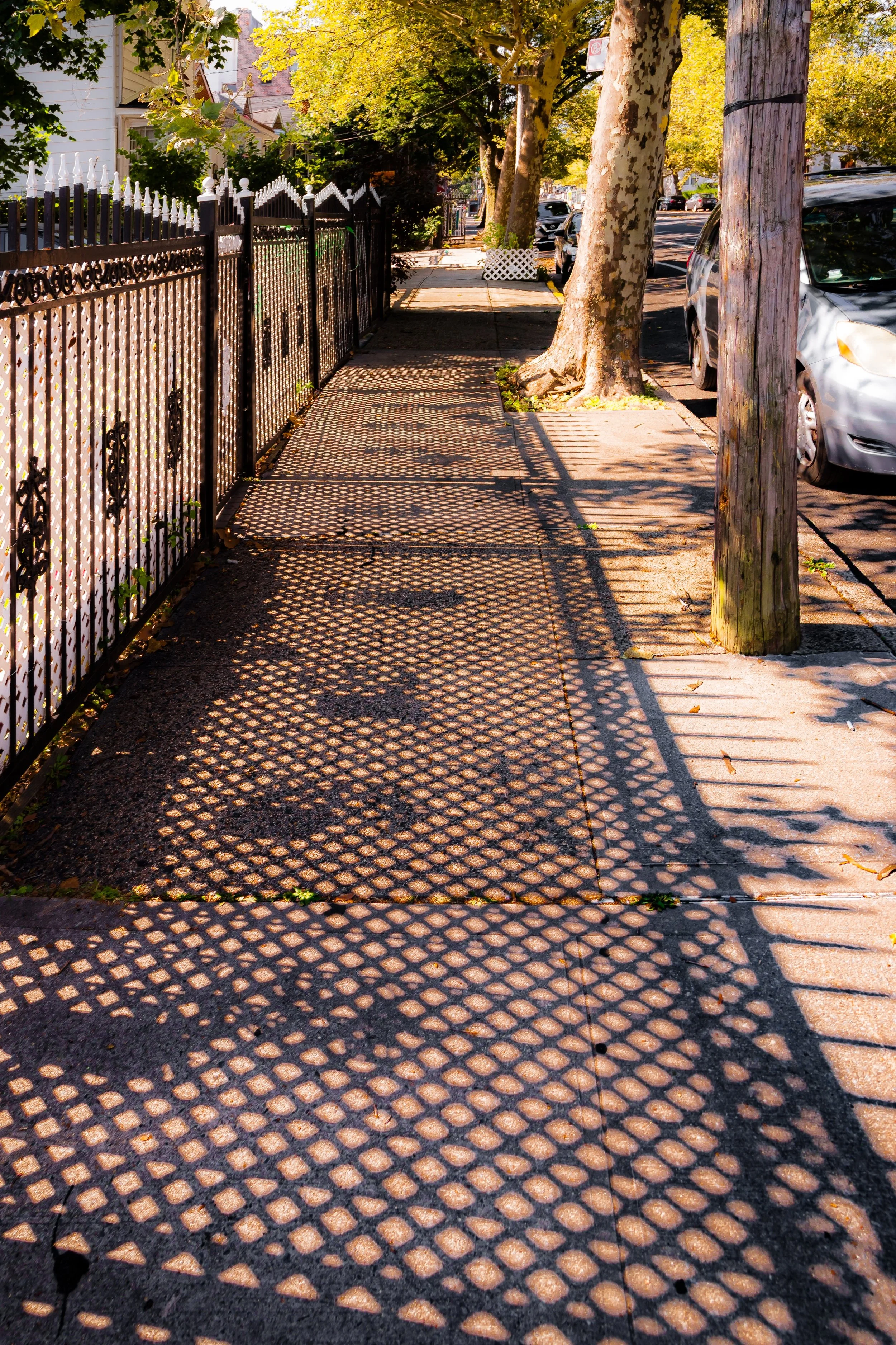
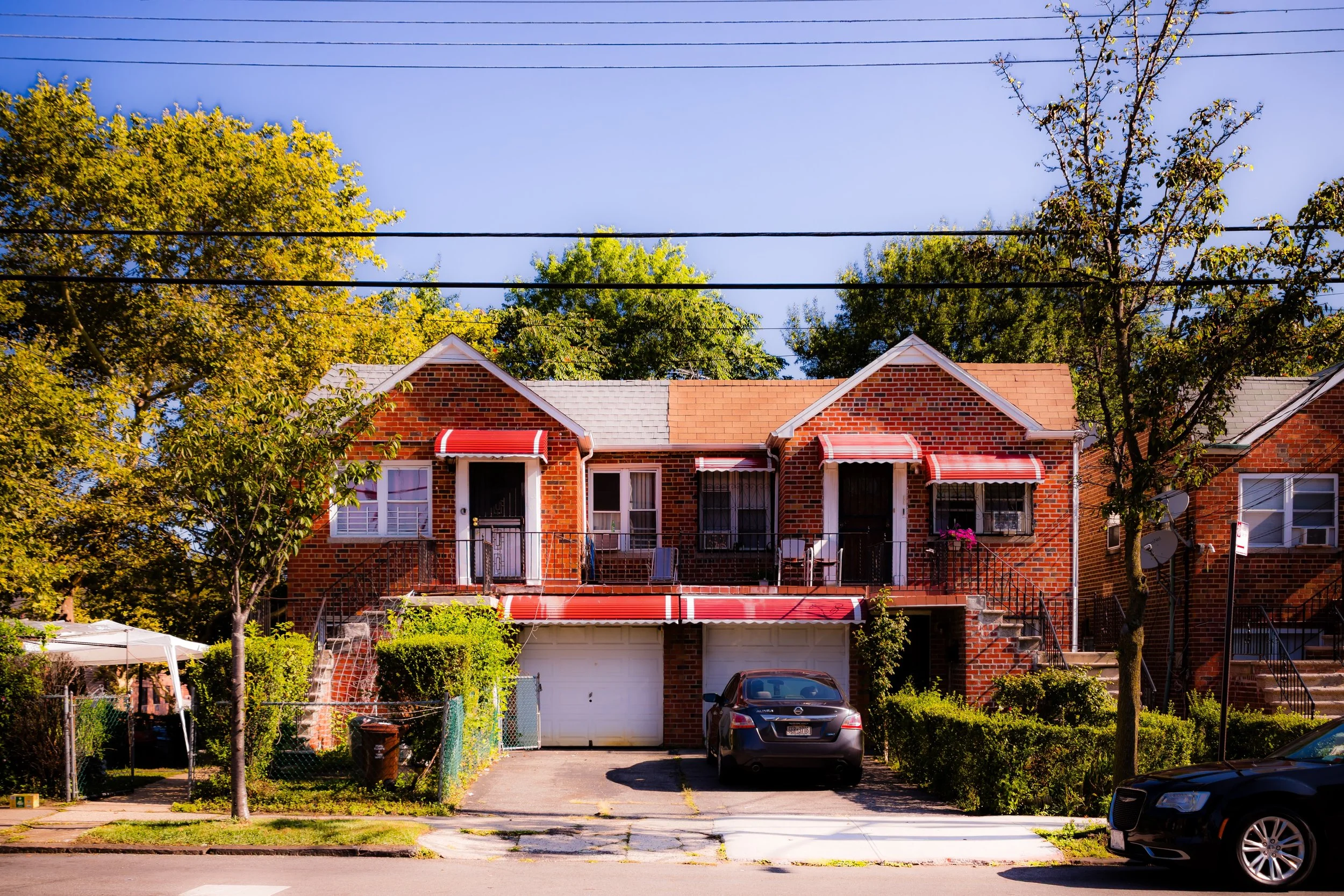
The neighborhood is characterized by tree-lined residential streets, two- and three-story brick houses, and clusters of mid-20th-century apartment buildings that rise modestly above the canopy. White Plains Road cuts diagonally across the area, serving as its principal commercial spine, while Bronx Park East and Allerton Avenue form the community’s western and southern anchors. Transit access via the 2 and 5 trains at Allerton Avenue and Gun Hill Road stations connects residents to Manhattan and the Bronx’s central corridors.
While Olinville is often overshadowed by its better-known neighbors—Williamsbridge to the east, Allerton to the south, and Bronxwood to the west—it possesses its own subtle rhythm: an enclave of homeowners, renters, and families whose daily life unfolds along quiet blocks lined with maples, modest stoops, and a strong sense of belonging.
Etymology
The name “Olinville” derives from Olin Avenue (now part of Olinville Avenue), one of the area’s earliest mapped thoroughfares. The avenue—and later, the neighborhood—was named in the late 19th century for the Olin family, early landowners and developers who owned tracts of farmland in this section of the Bronx. The suffix “-ville,” meaning “town,” reflected the suburban aspirations of the time, when developers marketed these northern Bronx districts as healthful alternatives to Manhattan’s congestion.
Though modest in scale, the name captured the ethos of the neighborhood that grew around it: not an industrial hub or grand boulevard, but a small, livable community defined by families, gardens, and continuity.
The Neighborhood
Origins through the 19th Century
Before the advent of the grid, Olinville’s land formed part of the rural Town of Westchester, annexed to New York City in 1895. The area consisted of farmland, meadows, and small woodlots along the eastern flank of what would become Bronx Park. The Bronx River, flowing just west of the modern neighborhood boundary, provided water for mills and farms throughout the 18th and 19th centuries.
The Olin family, for whom the area is named, owned parcels here during the mid-1800s and were among several local families—along with the Valentines and the Lorillards—who helped subdivide northern Bronx farmland into residential lots following the city’s annexation. With the completion of the Bronx Park system and the Bronx River Parkway (1907–1925), the district’s proximity to new parkland enhanced its appeal for middle-class families seeking space and greenery within city limits.
By the 1890s, speculative builders had begun laying out Olinville Avenue and nearby streets, promoting the area as “the village by the park,” emphasizing its wooded surroundings and easy access to the growing city via Boston Post Road and the nearby Harlem Railroad.
Early 20th Century: Suburban Growth and Stability
The first decades of the 20th century saw Olinville mature into a middle-class residential enclave. The extension of the White Plains Road elevated line (1917)—today’s IRT 2 and 5 trains—transformed the area, making it accessible to commuters and accelerating the construction of brick rowhouses and small apartment buildings. Developers advertised “solid homes in the northern Bronx—five rooms and a garden,” attracting Irish, Italian, and Jewish families relocating from older districts in Morrisania, Tremont, and East Harlem.
The opening of Bronx Park East as a landscaped corridor connecting Bronx Park to Pelham Parkway further enhanced the area’s desirability. Its shaded promenades, combined with the presence of nearby schools, parishes, and small businesses along White Plains Road and Olinville Avenue, gave the neighborhood a self-sufficient, village-like quality.
During the 1920s–1940s, Olinville’s housing stock solidified around its present-day pattern: rows of attached brick homes, small garden apartment complexes, and corner stores. The nearby Allerton Avenue commercial district and Gun Hill Road corridor provided groceries, bakeries, and neighborhood theaters, ensuring that residents rarely needed to travel far for essentials.
Olinville Video Coming Soon
Mid–Late 20th Century: Change and Community Persistence
Like much of the Bronx, Olinville experienced demographic and social shifts beginning in the 1950s. The construction of large-scale infrastructure—particularly the Bronx River Parkway—altered traffic patterns and reinforced the neighborhood’s boundaries, while postwar suburbanization drew some of its white middle-class population to the outer boroughs and Westchester.
By the 1960s and 1970s, new populations—Puerto Rican, African-American, and later West Indian and Dominican—had become the heart of the community. While nearby areas endured disinvestment and arson, Olinville’s smaller scale and higher rates of homeownership helped it remain comparatively stable. Block associations, churches, and tenant cooperatives emerged to maintain buildings and foster pride. The Olinville Civic Association, founded in the 1970s, became an active voice in local affairs, advocating for safer streets, improved sanitation, and preservation of the area’s residential character.
The Bronx’s renaissance of the 1980s–1990s further strengthened Olinville’s fabric. City-backed programs and community partnerships helped rehabilitate prewar buildings and support small homeowners, while the neighborhood’s proximity to Montefiore Medical Center and Bronx Park ensured steady investment and foot traffic.
21st Century: Renewal and Cultural Diversity
In the 21st century, Olinville stands as a testament to steady, understated renewal. Its population is among the Bronx’s most diverse—Caribbean, Latino, African, South Asian, and Albanian families share blocks once dominated by older immigrant groups. The White Plains Road corridor has adapted to reflect this mix, with West Indian takeout restaurants, Dominican salons, halal markets, and long-established Jewish delis existing side by side.
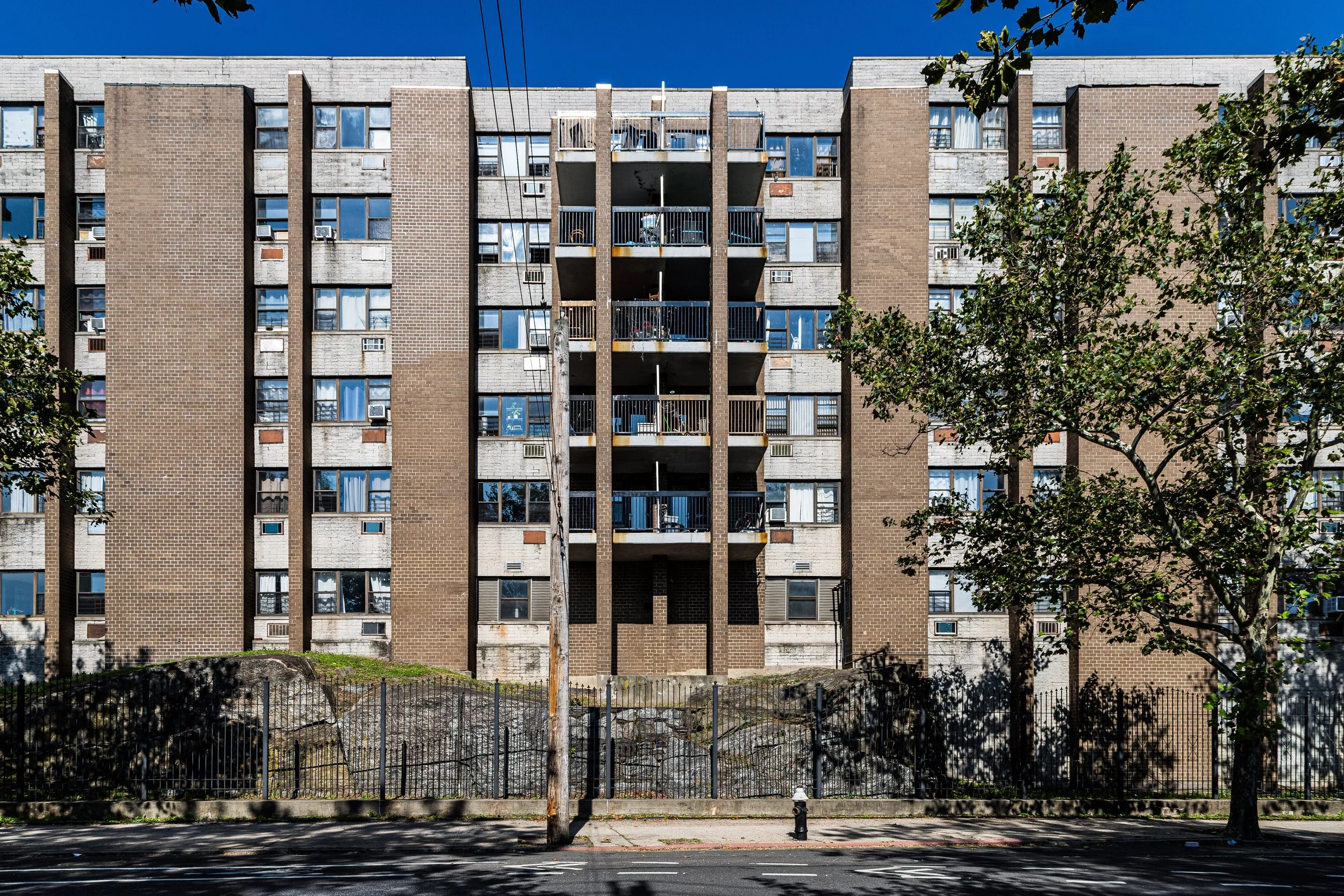
Many of the neighborhood’s prewar apartment buildings have been renovated, while new low-rise developments and affordable housing initiatives maintain a balance between growth and affordability. Williamsbridge Oval Park, Bronx Park, and Bronx Park East provide residents with abundant green space, linking Olinville to the Bronx’s broader network of parkways and trails.
Despite pressures of modernization, the neighborhood retains its calm, family-oriented spirit. Block parties, school fairs, and church gatherings—particularly at St. Lucy’s Church and Holy Rosary Parish—continue to define its social rhythm. Local civic groups remain active, emphasizing safety, tree planting, and youth programming that reflect both pride of place and communal responsibility.
Olinville Photo Gallery
Spirit and Legacy
The spirit of Olinville lies in its quiet continuity—a neighborhood that has changed faces and accents but never lost its grounded, residential heart. Its history mirrors that of the Bronx itself: farmland to suburb, suburb to city, city to community. Through every transformation, Olinville has maintained a sense of modest stability, defined not by grand monuments but by the everyday life of its people.
New York City
Use this custom Google map to explore where every neighborhood in all five boroughs of New York City is located.
The Five Boroughs
One of New York City’s unique qualities is its organization in to 5 boroughs: Manhattan, Brooklyn, Queens, The Bronx, and Staten Island. These boroughs are part pragmatic administrative districts, and part vestiges of the region’s past. Each borough is an entire county in New York State - in fact, Brooklyn is, officially, Kings County, while Staten Island is, officially Richmond County. But that’s not the whole story …
Initially, New York City was located on the southern tip of Manhattan (now the Financial District) that was once the Dutch colony of New Amsterdam. Across the East River, another city was rising: Brooklyn. In time, the city planners realized that unification between the rapidly rising cities would create commercial and industrial opportunities - through streamlined administration of the region.
So powerful was the pull of unification between New York and Brooklyn that three more counties were pulled into the unification: The Bronx, Queens, and Staten Island. And on January 1, 1898, the City of New York unified two cities and three counties into one Greater City of New York - containing the five boroughs we know today.
But because each borough developed differently and distinctly until unification, their neighborhoods likewise uniquely developed. Today, there are nearly 390 neighborhoods, each with their own histories, cultures, cuisines, and personalities - and each with residents who are fiercely proud of their corner of The Big Apple.


