LONG ISLAND CITY
Queens
Geographic Setting
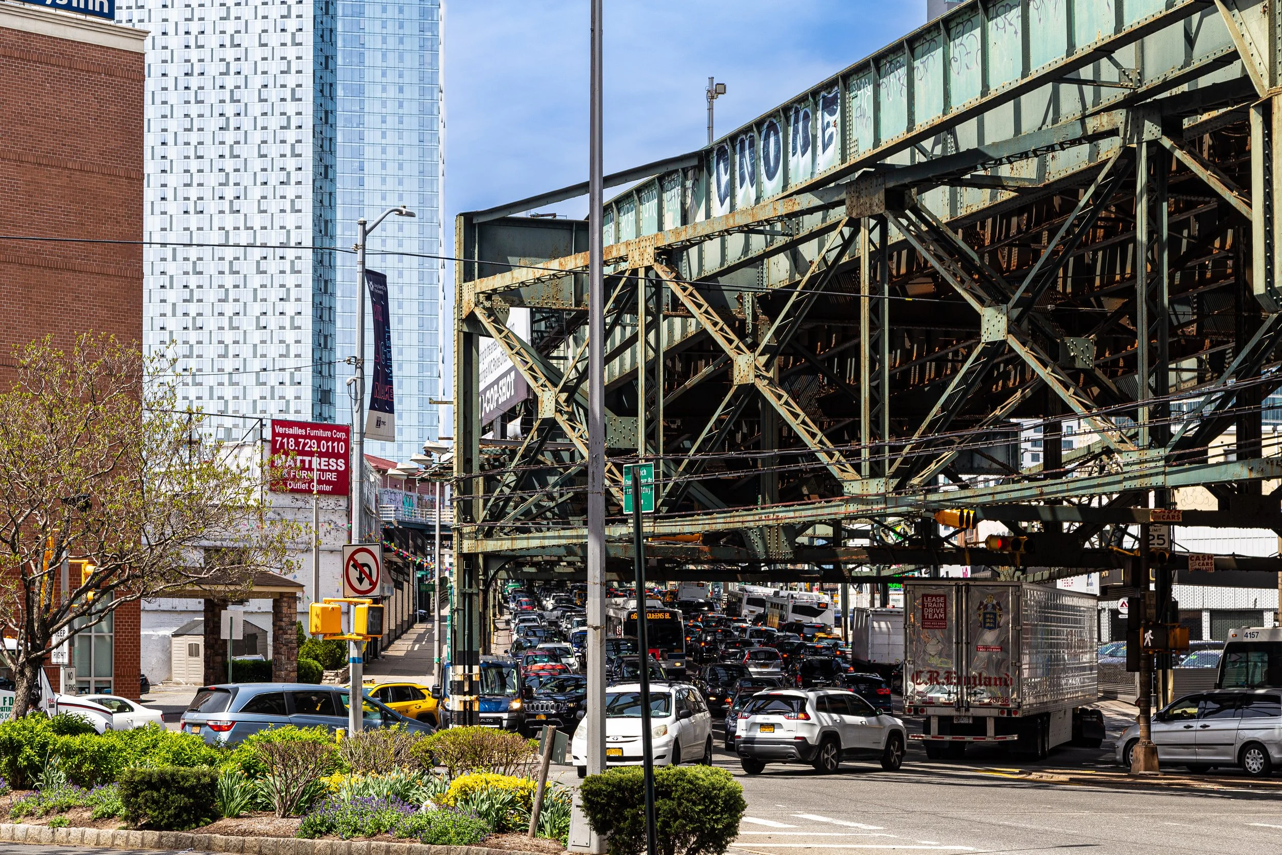
Occupying the westernmost edge of Queens along the East River, Long Island City (LIC) is both one of New York’s oldest industrial districts and its newest vertical skyline. It is bounded by Newtown Creek to the south, the East River to the west, Astoria to the north, and roughly Skillman Avenue and Van Dam Street to the east. Within this span lies a tapestry of contrasts—19th-century factory buildings and warehouses alongside glittering residential towers that now dominate the riverfront from Gantry Plaza State Park to Anable Basin.
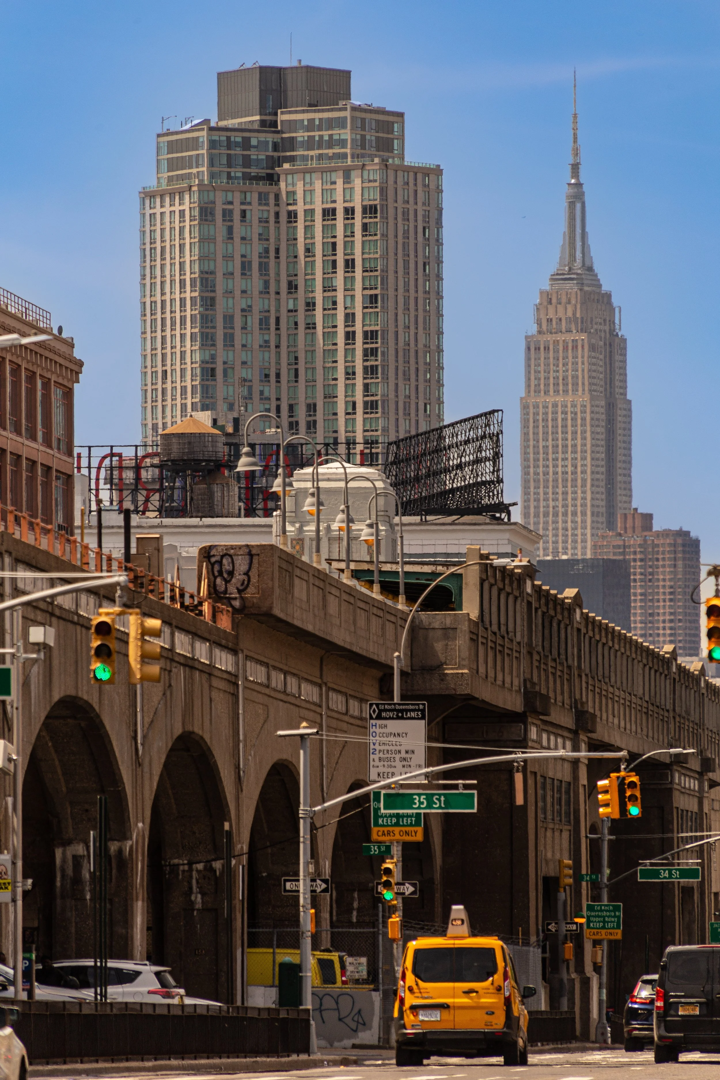
The neighborhood is a nexus of transit and infrastructure: the Queensboro Bridge connects it directly to Midtown Manhattan; the 7, E, M, and G trains converge at Court Square; and the Long Island City LIRR Station and Queens Midtown Tunnel make it both gateway and destination. The terrain—once marshy waterfront reclaimed for rail yards and industry—is now reimagined as parkland and high-rise living, framed by the long sweep of the East River and panoramic views of Manhattan.
Etymology and Origins
Long Island City was officially incorporated in 1870, when several small villages—Ravenswood, Dutch Kills, Steinway, and Astoria Village—were unified to form an independent city distinct from both Brooklyn and New York. The name reflected its position as the western “city” of Long Island proper. Its industrial rise was fueled by its waterfront location and access to the Long Island Rail Road, whose yards and ferries made LIC a logistical hub for the region.
When Queens was consolidated into Greater New York City in 1898, Long Island City became its administrative and industrial center. The Queens Borough Hall operated here until 1910, and the name “Long Island City” persisted as shorthand for the borough’s civic and manufacturing heart long after consolidation.
The Neighborhood
19th Century: Industry and Immigration
During the late 1800s, Long Island City became one of the great engines of American manufacturing. Rail lines and ferry slips delivered coal, lumber, and goods to factories producing everything from paint to pianos. Breweries, bakeries, and ironworks thrived along Vernon Boulevard and Borden Avenue. The Steinway & Sons piano factory, founded in 1870 in nearby Astoria but operating extensive facilities here, exemplified the area’s skilled industrial base.
The population exploded with waves of German, Irish, and later Italian immigrants who settled in nearby tenements and boardinghouses. Working-class neighborhoods like Hunters Point and Dutch Kills grew dense with rowhouses, taverns, and churches. By the 1890s, smoke from factory chimneys and whistles from river barges defined the LIC skyline—a portrait of muscular industry and immigrant aspiration.
Early–Mid 20th Century: The Industrial Powerhouse
In the early 20th century, Long Island City entered its golden age of production and infrastructure. The completion of the Queensboro Bridge (1909) and East River Tunnels (1910) connected it directly to Manhattan, while the Sunnyside Rail Yard (1910s) made it a national freight nexus. Warehouses and factories multiplied—most notably the Silvercup Bakery (1930s) and Sohmer Piano Factory—their massive signs illuminating the skyline.
The area became a model of industrial modernity: the Citizens Storage Company, Fleischmann’s Yeast, and Pepsi-Cola all established plants here. The Pepsi-Cola neon sign, installed in 1936, remains one of New York’s most recognizable waterfront icons. During World War II, LIC’s factories supplied military equipment, and its docks shipped materials overseas.
Postwar, however, deindustrialization set in. As manufacturing declined in the 1950s–1970s, warehouses emptied, jobs vanished, and much of the waterfront fell into neglect. Yet LIC’s robust building stock, open lots, and proximity to Manhattan sowed the seeds of its next reinvention.
Long Island City Video Coming Soon
Late 20th Century: Artists and Adaptation
By the 1970s and 1980s, Long Island City’s abandoned factories drew artists seeking affordable studio space. Pioneering cultural institutions such as P.S. 1 Contemporary Art Center (founded 1976, now MoMA PS1) and the SculptureCenter transformed former industrial spaces into creative hubs. Lofts in Hunters Point and Dutch Kills became live-work studios, while performance venues like The Chocolate Factory Theater and Flux Factory carried forward LIC’s experimental energy.
Simultaneously, city planners began envisioning LIC as a post-industrial mixed-use district. The rezoning of Queens Plaza in the 1980s encouraged office construction, while preservationists fought to protect landmarks like the Sohmer Piano Factory and the Pepsi-Cola sign. Artists, immigrants, and small manufacturers coexisted in uneasy balance—an interlude between grit and gentrification.
21st Century: Skyline and Renaissance
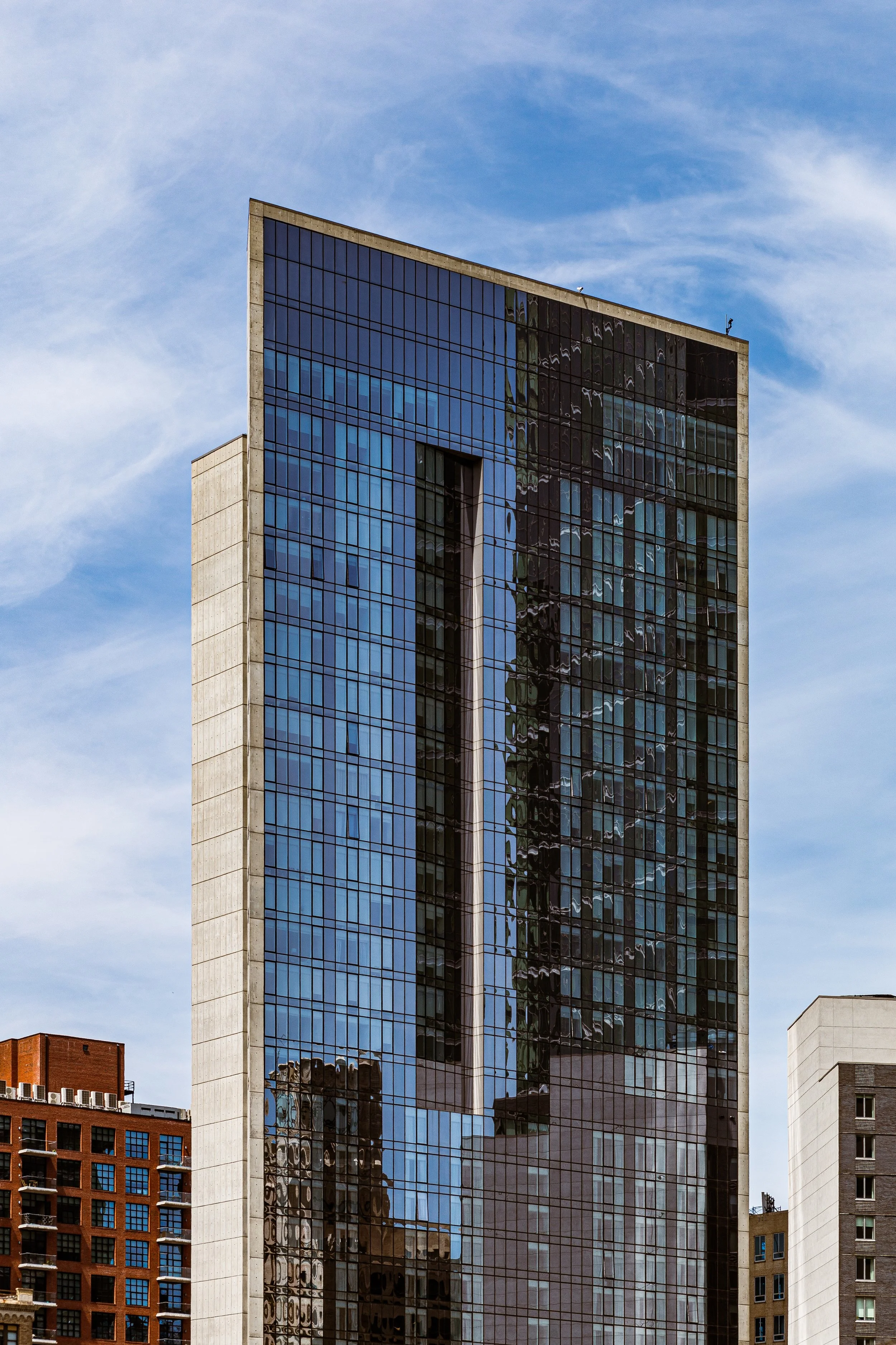
The 2001 rezoning of LIC’s waterfront marked the dawn of its high-rise transformation. The construction of Gantry Plaza State Park (1998–2009) reconnected residents to the river through landscaped piers, lawns, and the restored gantries once used to load railcars onto barges. Glass towers soon followed—The View at EastCoast, Skyline Tower, and dozens of others—turning Hunters Point into one of the fastest-growing residential districts in New York City.
Corporate tenants such as JetBlue Airways, Bloomberg, and Citibank established major offices here, while the Citicorp Building (1989) remained a local landmark. LIC’s identity shifted from industrial powerhouse to creative and corporate hub. Restaurants and breweries along Vernon Boulevard, new cultural institutions like the Culture Lab, and performance festivals at Gantry Plaza and MoMA PS1’s Warm Up series have given the district a cosmopolitan pulse.
Although the 2019 withdrawal of Amazon’s HQ2 project curtailed one chapter of economic expansion, LIC’s growth has continued unabated—its population tripling since 2000, and its skyline rivaling those of mid-sized American cities.
Long Island City Photo Gallery
Spirit and Legacy
Long Island City’s evolution—from factories and ferries to galleries and glass towers—is a distillation of New York’s broader transformation. Each layer remains visible: cobblestones beside bike lanes, gantries beside condos, art installations inside century-old warehouses. It is a place where the city’s industrial backbone has become its creative engine, and where reinvention is both memory and mission.
New York City
Use this custom Google map to explore where every neighborhood in all five boroughs of New York City is located.
The Five Boroughs
One of New York City’s unique qualities is its organization in to 5 boroughs: Manhattan, Brooklyn, Queens, The Bronx, and Staten Island. These boroughs are part pragmatic administrative districts, and part vestiges of the region’s past. Each borough is an entire county in New York State - in fact, Brooklyn is, officially, Kings County, while Staten Island is, officially Richmond County. But that’s not the whole story …
Initially, New York City was located on the southern tip of Manhattan (now the Financial District) that was once the Dutch colony of New Amsterdam. Across the East River, another city was rising: Brooklyn. In time, the city planners realized that unification between the rapidly rising cities would create commercial and industrial opportunities - through streamlined administration of the region.
So powerful was the pull of unification between New York and Brooklyn that three more counties were pulled into the unification: The Bronx, Queens, and Staten Island. And on January 1, 1898, the City of New York unified two cities and three counties into one Greater City of New York - containing the five boroughs we know today.
But because each borough developed differently and distinctly until unification, their neighborhoods likewise uniquely developed. Today, there are nearly 390 neighborhoods, each with their own histories, cultures, cuisines, and personalities - and each with residents who are fiercely proud of their corner of The Big Apple.


