BERGEN BEACH
Brooklyn
Geographic Setting
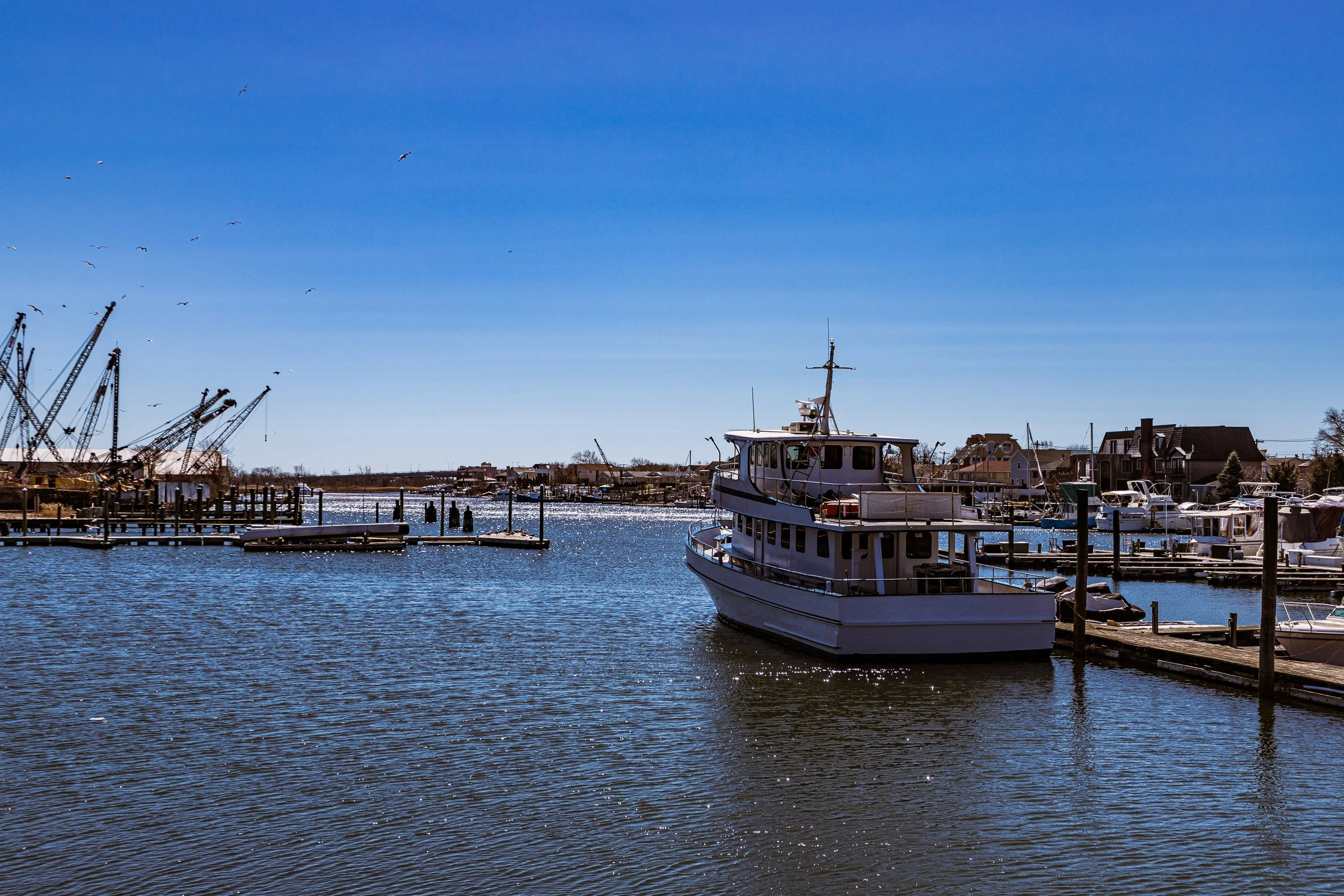
Bounded by Avenue N to the north, the Paerdegat Basin to the east, Mill Basin to the south, and to the west by East Mill Basin, 68th Street, and Veterans Avenue, Bergen Beach lies on a low peninsula of southeastern Brooklyn—a quiet, residential enclave surrounded by water on nearly three sides. It is a neighborhood of inlets, coves, and sky, its geography defined as much by the tides as by the street grid. From the shorelines of East Mill Basin and Paerdegat Basin, one can see the sweep of Jamaica Bay and the marine marshlands that once covered much of southern Brooklyn.
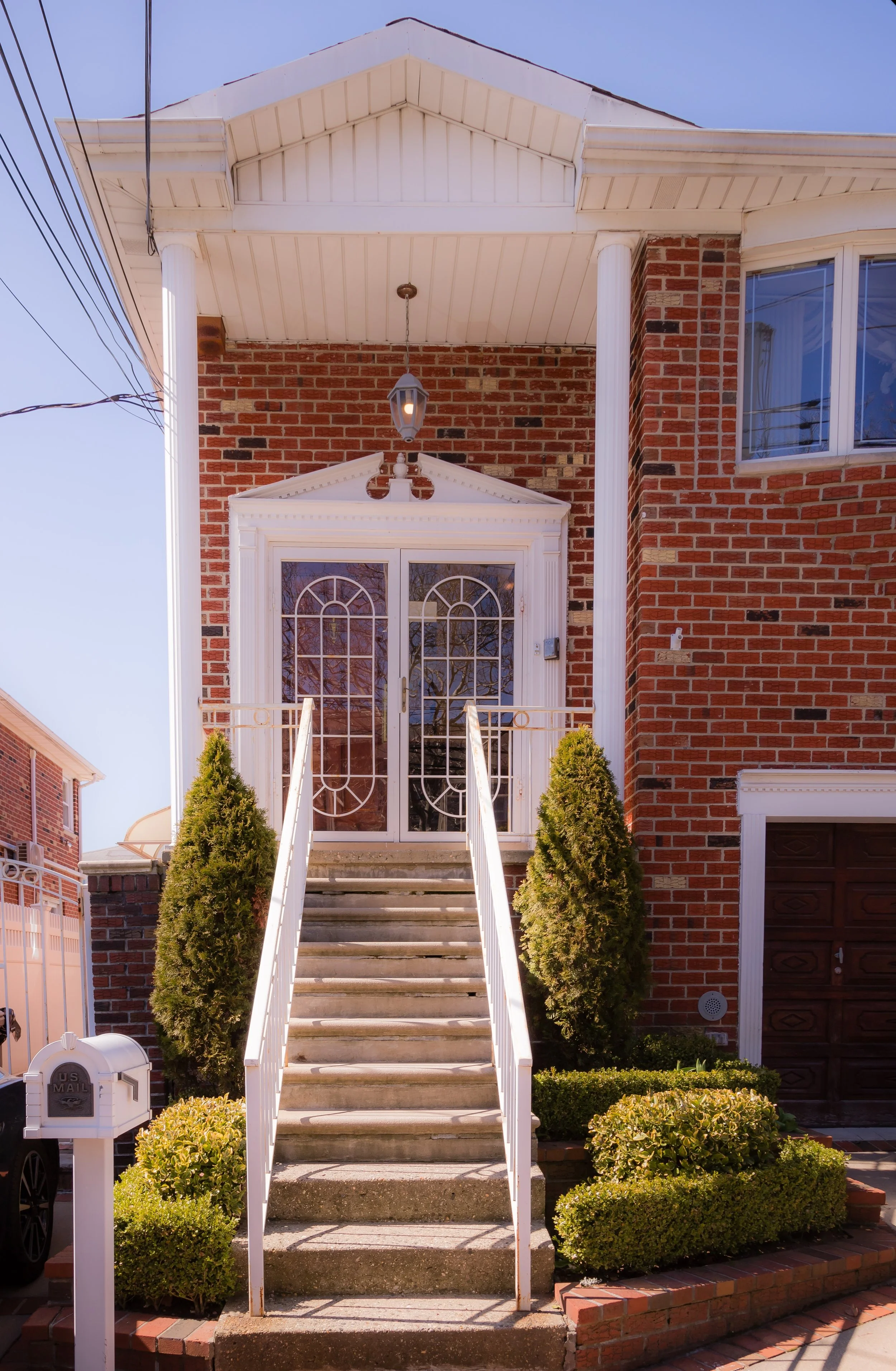
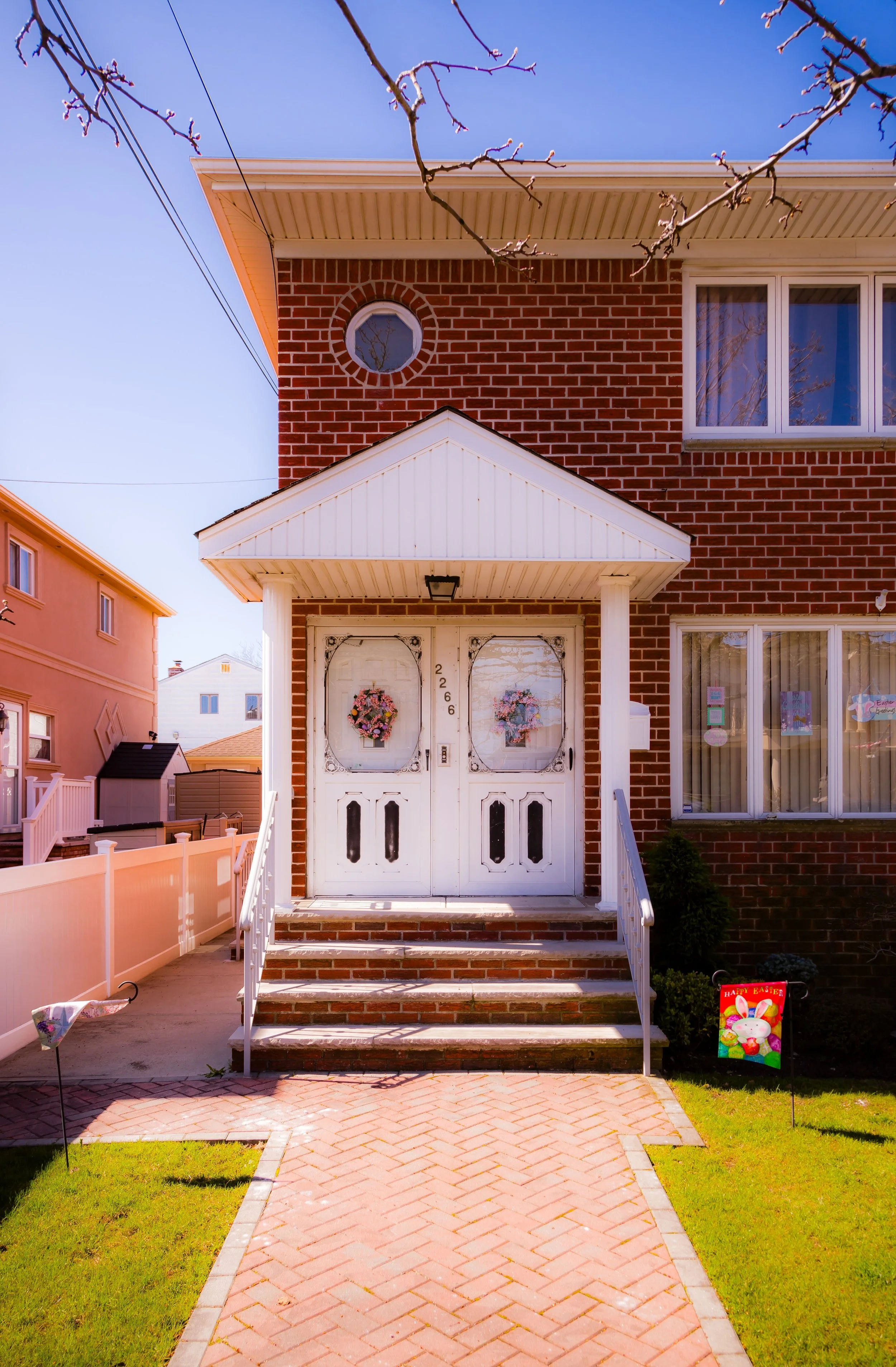
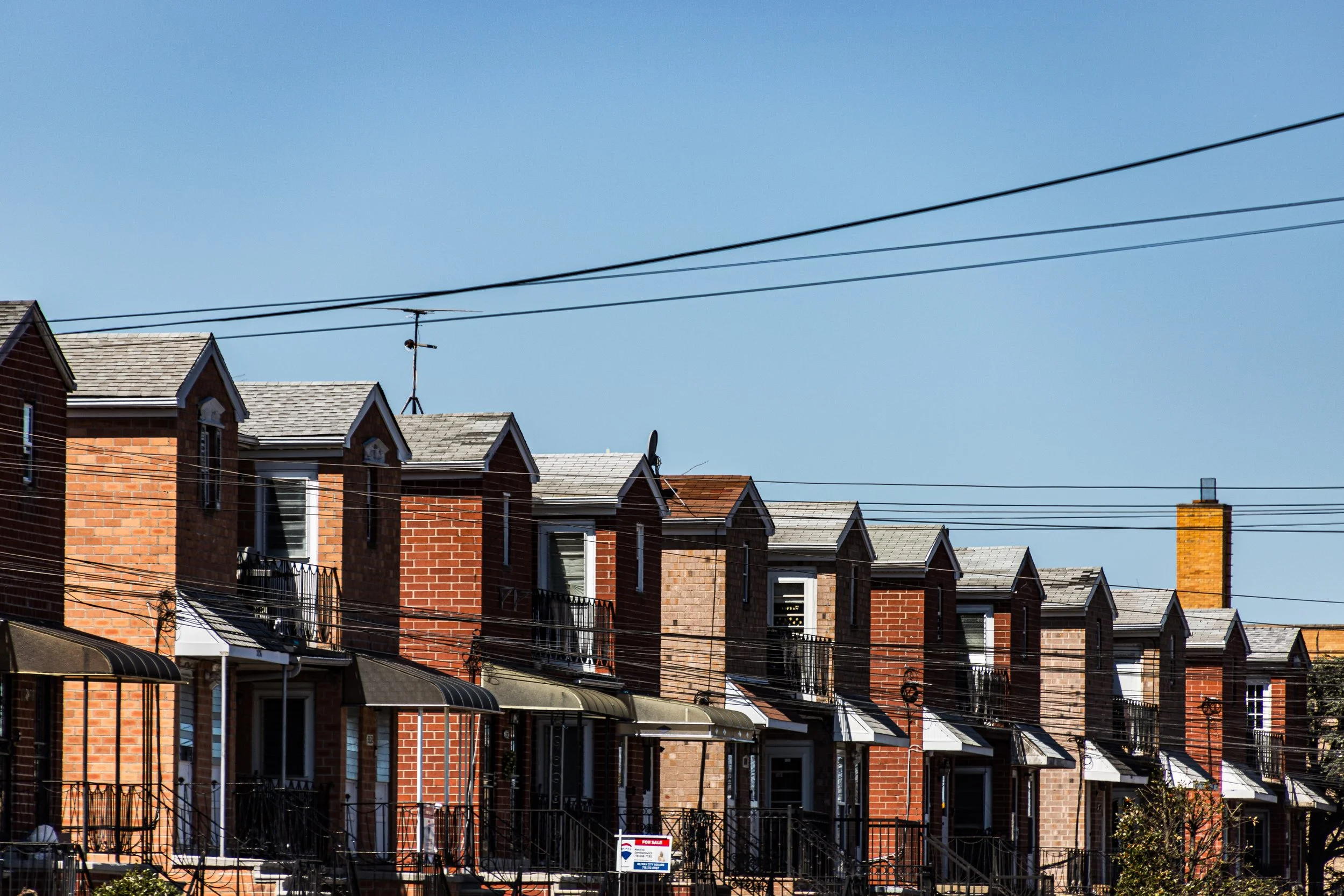
The neighborhood’s interior—dominated by Avenue T, Bergen Avenue, and Royce Street—consists mainly of low-rise brick and stucco houses built after World War II, with driveways, lawns, and a distinctly suburban atmosphere. Small parks and playgrounds punctuate the landscape, while Bergen Beach Playground and Ralph Avenue provide the district’s main community and commercial centers. The water’s presence defines everything here: gulls, salt air, and the subtle sense of living at the edge of the city.
Etymology and Origins
Bergen Beach takes its name from the Bergen family, descendants of the original Dutch settlers of New Netherland. The Bergen clan—one of Brooklyn’s oldest—held extensive landholdings across the borough, including tracts in what is now Bay Ridge and Red Hook. The area’s name first appeared on maps in the late 19th century, when developers envisioned this quiet, marshy peninsula as a future seaside community.
In the 1890s, entrepreneur Percival S. Benson and associates formed the Bergen Beach Improvement Company, laying out streets and promoting the district as a “new resort suburb” accessible by trolley and ferry. They drew inspiration from the success of nearby Manhattan Beach and Sheepshead Bay, imagining hotels, pavilions, and bathing beaches along Jamaica Bay. But while the name endured, the grand vision did not: the shallow waters and shifting marshlands of Paerdegat Basin proved too challenging for large-scale resort development, leaving Bergen Beach to evolve as a quieter, more residential outpost.
The Neighborhood
19th Century: From Marshland to Seaside Retreat
Before urbanization, Bergen Beach was a low-lying expanse of salt marshes, creeks, and farmland belonging to early Dutch and English families. The region remained largely rural through the 1800s, accessible only by wagon roads extending from Flatlands and Canarsie. The Bergen Beach Land Improvement Company, chartered in 1892, attempted to transform the area into a seaside resort, constructing boardwalks, picnic grounds, and amusement rides to rival Coney Island’s.
During the 1890s, “Bergen Beach Park” briefly flourished as an excursion destination for city dwellers seeking bay breezes and quieter recreation. A ferry from Canarsie brought visitors to its small amusement pier, offering a carousel, bandstand, and bathing facilities. But the resort’s success was short-lived. The rise of Coney Island and the difficulty of dredging deeper channels for steamships led to its decline by the turn of the century.
In its wake remained a handful of cottages and bungalows scattered among the meadows—a rural edge of the city, suspended between dream and decay.
Early–Mid 20th Century: Isolation and Suburban Transformation
Bergen Beach’s development proceeded slowly through the early 1900s. Its marshy soil and lack of infrastructure discouraged dense building, and it remained semi-rural long after surrounding neighborhoods urbanized. By the 1920s–1930s, the city began filling and grading portions of the land, constructing Ralph Avenue and extending the street grid from Flatlands.
The completion of the Belt Parkway (1940) and subsequent land reclamation projects during the 1950s–1960s transformed Bergen Beach’s geography. Former tidal flats were filled, creating stable ground for residential construction. Developers introduced low-rise brick homes, many with driveways and small front lawns, marketed to working- and middle-class families seeking suburban tranquility within city limits. The area’s proximity to the new parkway and shopping corridors of Kings Plaza (opened 1970) made it particularly attractive to families leaving denser Brooklyn neighborhoods.
Through the mid-20th century, Bergen Beach remained a close-knit, predominantly Italian- and Irish-American community, marked by block parties, local parishes, and a near-total absence of apartment towers. It became known for its calm streets and pride of ownership—a place where the city seemed to slow and exhale.
Bergen Beach Photographic Video
Late 20th Century: Community and Quiet Resilience
By the 1970s–1980s, Bergen Beach had fully matured into a stable residential enclave. Detached one- and two-family homes dominated the landscape, often with small gardens and backyard patios. The Bergen Beach Civic Association, founded during this period, played an active role in maintaining neighborhood order and lobbying for municipal services. Local parks, particularly Bergen Beach Playground and the Joseph T. McGuire Fields, became gathering spaces for youth sports and summer festivals.
During the city’s fiscal crisis of the 1970s, Bergen Beach’s isolation worked in its favor—it escaped the blight and disinvestment that afflicted many inner neighborhoods. Its relative remoteness, combined with a strong civic culture, preserved its small-town character. Yet this same seclusion also fostered a sense of being “off the grid,” a quiet corner of Brooklyn known more to its residents than to the city at large.
In the 1990s–2000s, the neighborhood diversified modestly as new Jewish, Caribbean, and Russian families joined long-established residents. Despite rising property values and nearby commercial development, Bergen Beach retained its distinctly low-key identity—a place defined not by nightlife or fashion, but by family, privacy, and neighborhood pride.
21st Century: Stability by the Bay
Today, Bergen Beach remains one of Brooklyn’s most tranquil neighborhoods, its curving residential lanes and cul-de-sacs evoking the atmosphere of a small coastal town. The Mill Basin and Paerdegat Basin shorelines—now protected by environmental initiatives—lend the area an openness rare in New York City. Waterfront parks and restored marshlands attract birdwatchers and kayakers, while local residents maintain a strong sense of stewardship toward their environment.
Community life continues to center on schools, sports leagues, and civic engagement. Though limited public transit keeps Bergen Beach relatively secluded, its quiet streets and family-oriented reputation continue to draw homeowners seeking stability. Small-scale renovations have modernized many mid-century homes, but the essential rhythm remains unchanged: tidy lawns, block associations, and evenings defined by the sound of wind through trees and the faint echo of waves beyond the Belt Parkway embankment.
Bergen Beach Photo Gallery
Spirit and Legacy
Bergen Beach’s legacy is one of endurance at the city’s edge—a neighborhood shaped by water, isolation, and self-reliance. From its 19th-century resort ambitions to its 20th-century suburban maturity, it has remained steadfastly residential, content to exist apart from the urban tumult. Its identity is quieter than most of Brooklyn’s, but no less authentic: a place built on constancy, civility, and the simple appeal of space and sky.
New York City
Use this custom Google map to explore where every neighborhood in all five boroughs of New York City is located.
The Five Boroughs
One of New York City’s unique qualities is its organization in to 5 boroughs: Manhattan, Brooklyn, Queens, The Bronx, and Staten Island. These boroughs are part pragmatic administrative districts, and part vestiges of the region’s past. Each borough is an entire county in New York State - in fact, Brooklyn is, officially, Kings County, while Staten Island is, officially Richmond County. But that’s not the whole story …
Initially, New York City was located on the southern tip of Manhattan (now the Financial District) that was once the Dutch colony of New Amsterdam. Across the East River, another city was rising: Brooklyn. In time, the city planners realized that unification between the rapidly rising cities would create commercial and industrial opportunities - through streamlined administration of the region.
So powerful was the pull of unification between New York and Brooklyn that three more counties were pulled into the unification: The Bronx, Queens, and Staten Island. And on January 1, 1898, the City of New York unified two cities and three counties into one Greater City of New York - containing the five boroughs we know today.
But because each borough developed differently and distinctly until unification, their neighborhoods likewise uniquely developed. Today, there are nearly 390 neighborhoods, each with their own histories, cultures, cuisines, and personalities - and each with residents who are fiercely proud of their corner of The Big Apple.


