
EGBERTVILLE
Staten Island
Geographic Setting
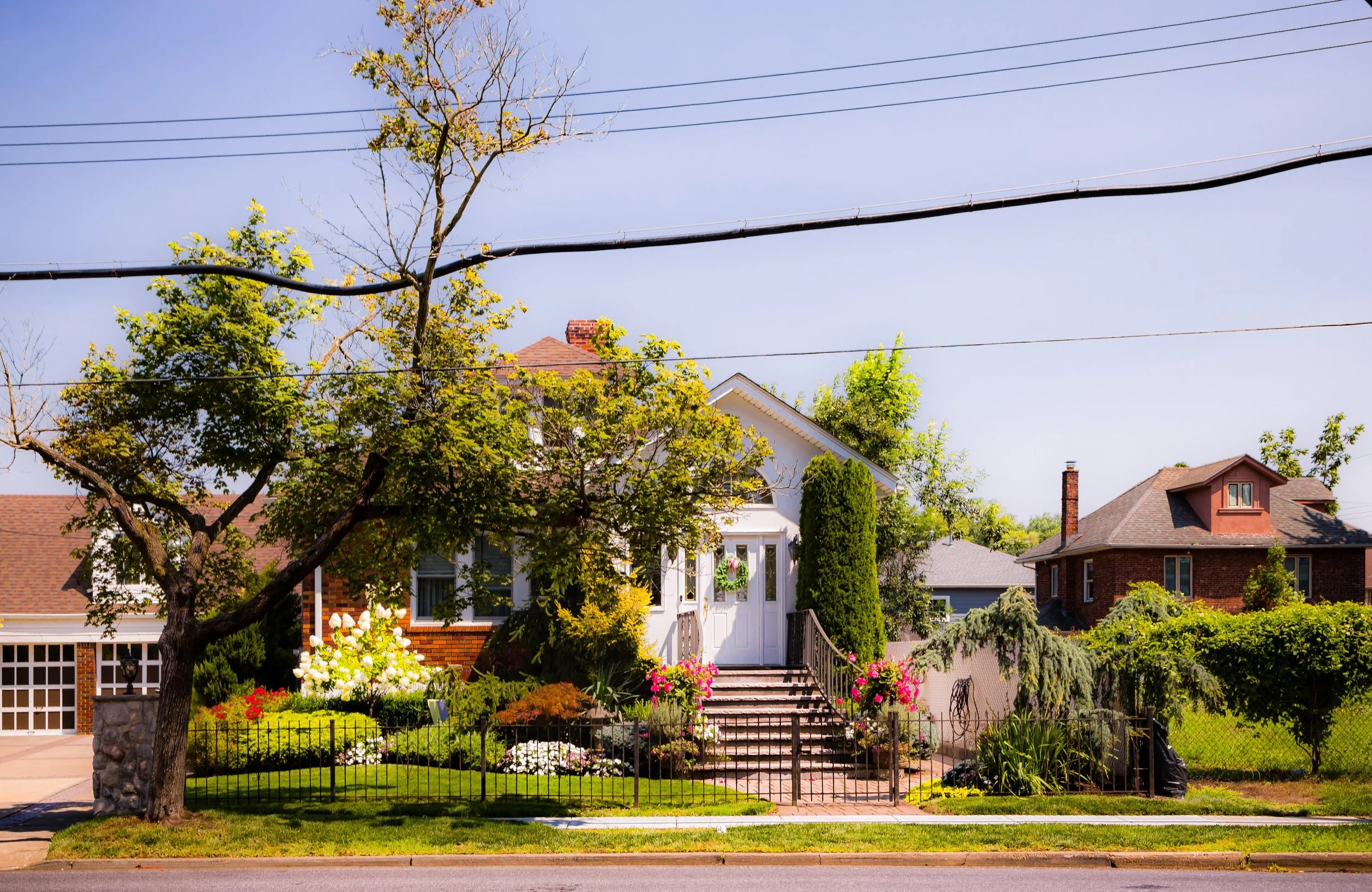
Bounded by Altamont Street to the east, Richmond Road to the south, Rockland Avenue to the west, and the Staten Island Greenbelt to the north, Egbertville occupies a serene, wooded expanse near the geographic center of Staten Island. It sits at the meeting point between the borough’s inland highlands and its old rural valley lands, where quiet residential streets give way to deep forests, wetlands, and ancient trails. Nestled between the neighborhoods of New Dorp, Richmondtown, and Lighthouse Hill, Egbertville is a landscape of transition—urban yet pastoral, historic yet distinctly alive with nature.
The neighborhood’s topography defines its personality: gentle ridges and ravines shaped by glacial retreat and threaded by the headwaters of Richmond Creek, which winds northward through the Greenbelt. Homes line winding roads shaded by old-growth trees, while nearby trails lead directly into High Rock Park, LaTourette Park, and the Egbertville Ravine, one of New York City’s most pristine forested glens. Though officially part of Staten Island’s suburban grid, Egbertville feels set apart—a wooded enclave that captures the island’s rare harmony between settlement and wilderness.
Etymology
The name Egbertville honors the Egbert family, one of Staten Island’s earliest and most prominent settler lineages. Dutch in origin, the Egberts established extensive farmland in this region during the 18th century and maintained their presence well into the 19th century. The family’s homesteads once dotted the hills and valleys near Richmond Road, lending their name to the crossroads that became known locally as Egbert’s Corner or Egbertville.
The suffix “-ville,” common to 19th-century American village names, reflected both the area’s growing identity as a distinct community and its semi-rural character. By the late 1800s, “Egbertville” appeared on maps as an established hamlet within the old Town of Southfield. Though the farms and mills have long vanished, the name endures as a reminder of the pioneering family whose roots remain intertwined with the landscape they once cultivated.
The Neighborhood
Origins through the 19th Century
In the colonial and early American periods, the land that would become Egbertville was part of Staten Island’s agricultural heartland. Its fertile valleys and freshwater streams supported farms and small mills operated by early Dutch and English settlers. The Egberts, along with neighboring families such as the Croakers and the Brittons, farmed large tracts extending from Richmond Road northward into what are now parklands. The area’s central location—between the port towns of Richmondtown and New Dorp—made it a convenient waypoint for farmers transporting goods to the markets and ferry landings along the east shore.
During the 19th century, Egbertville remained distinctly rural. Narrow roads such as Rockland Avenue and Richmond Road were unpaved, winding through fields, woodlots, and pastures. The community’s modest center formed near the junction of these routes, anchored by farms, a general store, and a few churches. The construction of LaTourette Farm and Golf Course nearby added to its agricultural identity, while the forested uplands to the north—today’s Greenbelt—were used for lumbering and seasonal grazing.
By the late 1800s, Egbertville’s tranquility attracted a small number of estate owners, who built summer houses along the higher elevations overlooking the valley. Yet even as surrounding areas began to suburbanize, Egbertville retained its agrarian simplicity, defined by its creek, meadows, and kinship-based settlement patterns.
Early 20th Century: From Farmland to Forest Village
The early 20th century brought slow but steady change. Improved roads and public transportation made Egbertville more accessible, but its hilly terrain and central isolation from the island’s coastal railway lines kept it relatively undeveloped compared to other neighborhoods. Farms gradually gave way to residential lots, though many of the old family properties remained intact well into the 1930s.
During this period, the city began to recognize the ecological value of Staten Island’s central forests. Land acquisitions for parks and watershed protection laid the groundwork for what would become the Staten Island Greenbelt, ensuring that Egbertville would always border expansive natural preserves. The neighborhood’s residents—often descendants of the original families—adapted to suburban life without sacrificing their connection to the land. Small churches, corner stores, and community halls supported a population that prized independence and open space.
By mid-century, Egbertville had taken shape as a hybrid community: part wooded suburb, part rural holdover. Children walked to schools in Richmondtown or New Dorp; farmers’ descendants worked in city offices but kept gardens and hens behind their homes. The rhythms of daily life still echoed the island’s agrarian past.
Egbertville Video Coming Soon
Mid–Late 20th Century: The Greenbelt Era
The transformation of Egbertville’s surroundings in the mid-20th century permanently defined its character. As Staten Island’s population boomed following the opening of the Verrazzano-Narrows Bridge (1964), large-scale suburban development consumed many of the island’s southern and eastern tracts. Egbertville, however, was spared the worst of this sprawl due to the creation of the Staten Island Greenbelt—a network of protected parks, forests, and wetlands encompassing more than 2,800 acres.
Within Egbertville’s boundaries, High Rock Park, Egbertville Ravine, and the Reeds Basket Willow Swamp became cornerstones of this conservation system. Trails and nature centers replaced the old mill roads, while environmental education programs introduced new generations to the island’s ecology. The Greenbelt’s presence preserved the area’s low-density character and reinforced Egbertville’s identity as Staten Island’s “forest neighborhood.”
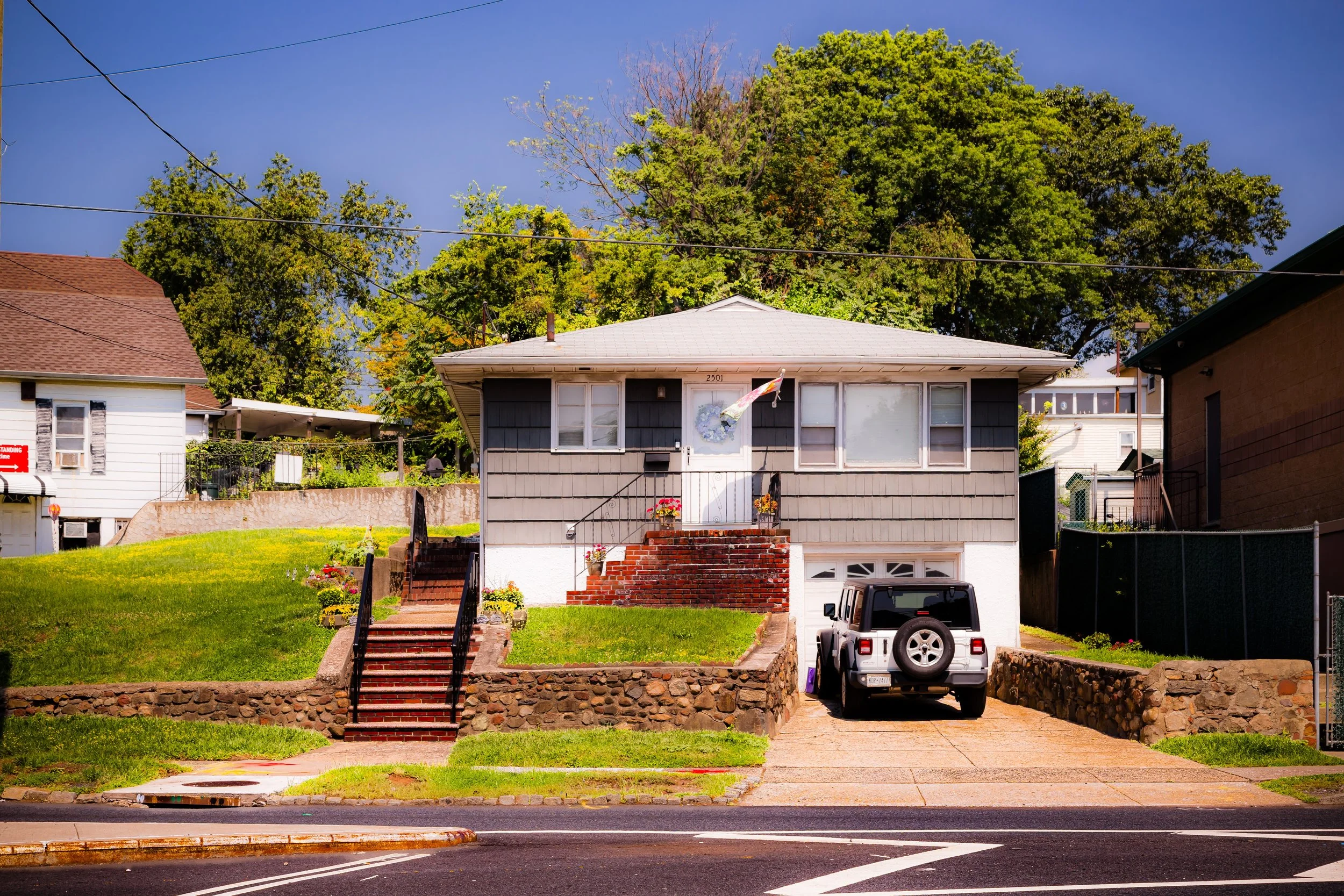
Residential growth continued along the lower edges near Richmond Road and Altamont Street, where modest ranch homes and split-levels appeared on former farmland. Yet the community remained cohesive, centered around its quiet streets and proximity to nature. Local civic groups advocated for park maintenance, traffic safety, and flood control, helping to balance suburban convenience with environmental stewardship.
21st Century: Suburban Calm, Natural Heart
In the 21st century, Egbertville remains a haven of tranquility within New York City’s most populous borough. Its tree-canopied streets, wildlife corridors, and walking trails make it a model of sustainable coexistence between residential life and natural landscape. Residents enjoy immediate access to the Greenbelt’s vast trail system, connecting to High Rock Park, Decker Farm, and LaTourette Park, while still living within minutes of the commercial corridors of Richmond Road and New Dorp Lane.
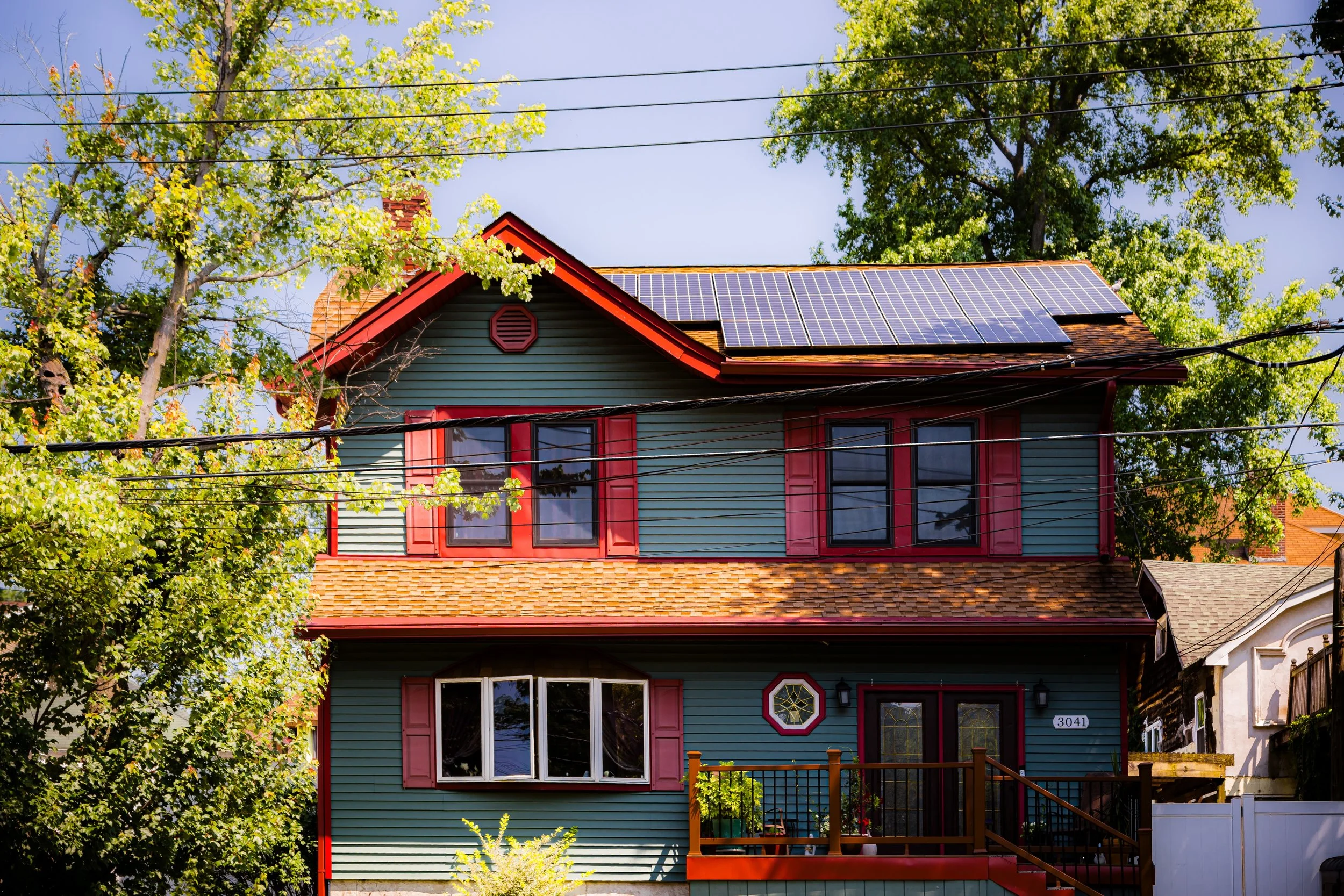
Demographically, Egbertville reflects Staten Island’s growing diversity: Italian-American families, who dominated through much of the 20th century, now share the neighborhood with Irish, Polish, Caribbean, and South Asian residents. Many homes remain single-family dwellings with generous yards, fostering a suburban rhythm of block parties, school events, and weekend hikes. Environmental advocacy continues to play a major role in local identity, with community organizations participating in reforestation efforts and habitat restoration within the Greenbelt.
While Staten Island has evolved dramatically around it, Egbertville retains an almost timeless sense of balance—where the city’s pace slows and the natural world reasserts its quiet authority.
Egbertville Photo Gallery
Spirit and Legacy
The spirit of Egbertville lies in its harmony between heritage and habitat. It is a place where the island’s agrarian past, embodied by the Egbert family’s fields and mills, meets the ecological future envisioned by the Greenbelt’s stewards. Its name, rooted in family lineage, has come to symbolize continuity—the persistence of community and landscape against the pressures of change.
New York City
Use this custom Google map to explore where every neighborhood in all five boroughs of New York City is located.
The Five Boroughs
One of New York City’s unique qualities is its organization in to 5 boroughs: Manhattan, Brooklyn, Queens, The Bronx, and Staten Island. These boroughs are part pragmatic administrative districts, and part vestiges of the region’s past. Each borough is an entire county in New York State - in fact, Brooklyn is, officially, Kings County, while Staten Island is, officially Richmond County. But that’s not the whole story …
Initially, New York City was located on the southern tip of Manhattan (now the Financial District) that was once the Dutch colony of New Amsterdam. Across the East River, another city was rising: Brooklyn. In time, the city planners realized that unification between the rapidly rising cities would create commercial and industrial opportunities - through streamlined administration of the region.
So powerful was the pull of unification between New York and Brooklyn that three more counties were pulled into the unification: The Bronx, Queens, and Staten Island. And on January 1, 1898, the City of New York unified two cities and three counties into one Greater City of New York - containing the five boroughs we know today.
But because each borough developed differently and distinctly until unification, their neighborhoods likewise uniquely developed. Today, there are nearly 390 neighborhoods, each with their own histories, cultures, cuisines, and personalities - and each with residents who are fiercely proud of their corner of The Big Apple.


