
PARK HILL
Staten Island
Geographic Setting
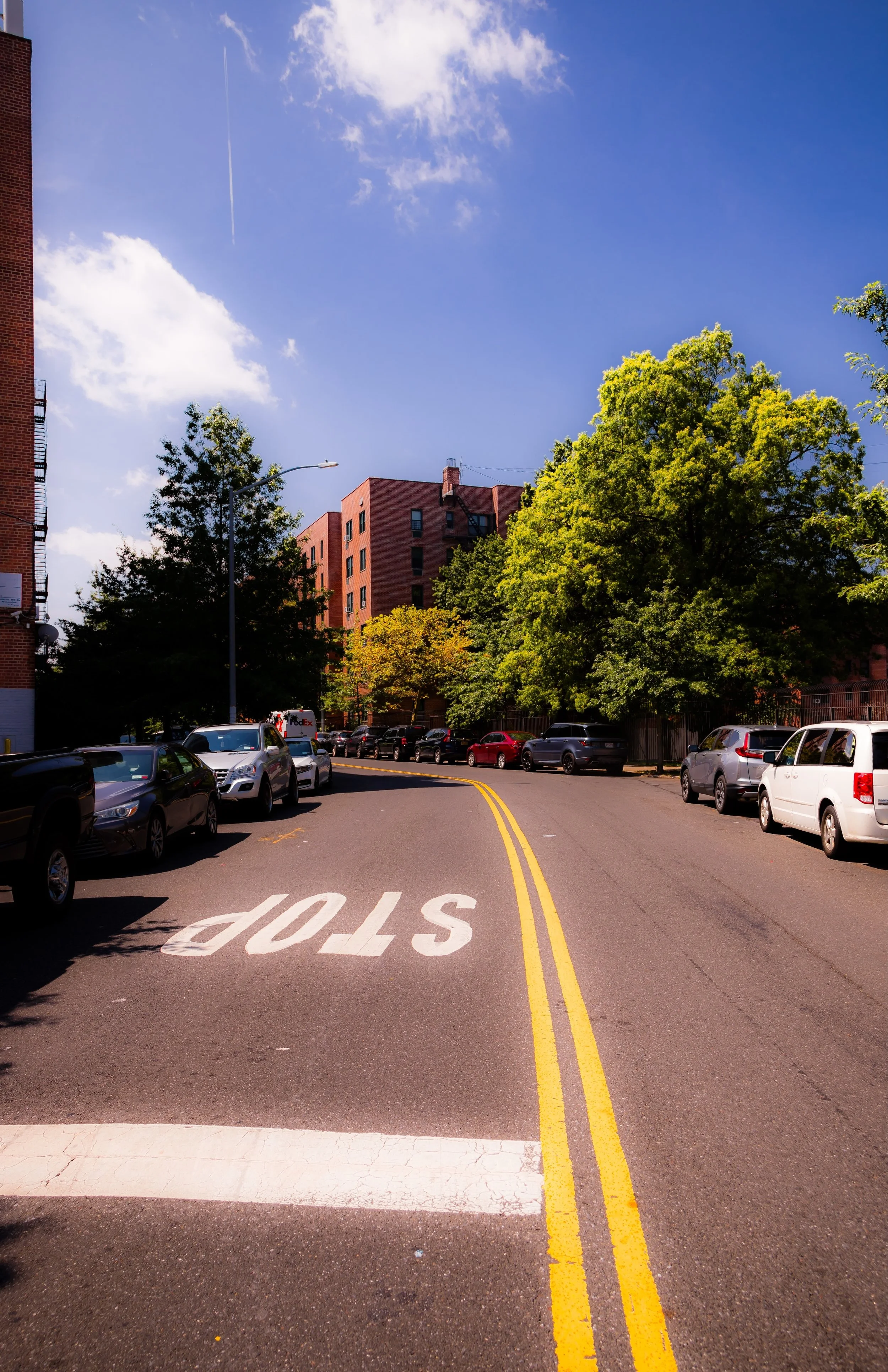
Bounded by Osgood Avenue to the northeast, Mosel Avenue to the southeast, the Staten Island Expressway to the south, Richmond Road to the west, and Vanderbilt Avenue to the northwest, Park Hill occupies a densely built hillside enclave on Staten Island’s North Shore, nestled between Tompkinsville, Stapleton, and Concord. Rising from the lower flats near Vanderbilt Avenue to the slopes above Richmond Road, Park Hill commands broad views of Upper New York Bay and the Verrazzano-Narrows Bridge. Its topography is integral to its character: steep, narrow streets wind through a mix of early 20th-century houses, brick apartment complexes, and green overlooks that still hint at the “park” for which it was named.
Strategically located near the Staten Island Railway’s Clifton and Stapleton stations and close to the Verrazzano Expressway corridor, Park Hill sits at the nexus of history, diversity, and transformation—a neighborhood that mirrors Staten Island’s shift from Victorian suburb to urban borough while maintaining its own distinctive sense of community.
Etymology
The name Park Hill reflects both its geography and its early 20th-century marketing as a suburban residential development. The “Hill” refers to the steep incline rising from the waterfront to Richmond Road, while “Park” suggested the verdant setting and planned landscape envisioned by developers in the early 1900s. Much of the surrounding land was once part of large estates and wooded tracts belonging to Staten Island’s mercantile families. As the area urbanized, developers sought to evoke the romantic appeal of garden suburbs and park-lined neighborhoods, giving rise to names like Park Hill, Fox Hills, and Silver Lake.
Though the original park-like landscape has been reshaped by later housing and infrastructure, the name endures—now resonating less as a marketing flourish and more as a symbol of the neighborhood’s layered social and architectural history.
The Neighborhood
Origins through the 19th Century
In the 18th and 19th centuries, the land that would become Park Hill was part of the rural township of Southfield, characterized by rolling farmland, orchards, and wooded hillsides overlooking the Kill Van Kull and the Narrows. Wealthy merchants and ship captains from Manhattan and Brooklyn established summer estates along nearby Richmond Road and Vanderbilt Avenue, drawn by the area’s elevation, fresh breezes, and harbor views. The proximity of Tompkinsville—an early ferry landing and commercial hub—made the hillside easily accessible yet secluded.
By the mid-19th century, small clusters of homes appeared along Richmond Road and Vanderbilt Avenue, served by the Richmond Turnpike (later Victory Boulevard) and the newly developing network of local roads. These early residents—among them the Vanderbilt and Tompkins families—played central roles in Staten Island’s civic and economic life. The surrounding hillsides, however, remained largely undeveloped through the late 1800s, serving as pastureland and forest.
It was not until the turn of the 20th century that the hillside’s proximity to the ferry and railway made it attractive for suburban development. Builders saw potential in the area’s sloping vistas and relative affordability, setting the stage for the creation of Park Hill as a residential enclave.
Early 20th Century: A Planned Suburban Enclave
Around the 1910s and 1920s, the Park Hill area began to urbanize as Staten Island’s North Shore evolved from estate lands to commuter suburbs. The Staten Island Railway, completed in 1860 and expanded through the early 20th century, provided direct service to the St. George Ferry, enabling residents to commute easily to Manhattan. Developers subdivided tracts along Mosel Avenue, Osgood Avenue, and Richmond Road, marketing the neighborhood as a tranquil alternative to the crowded city—a “park on a hill” within sight of the harbor.
Early housing stock consisted of frame and brick one- and two-family homes in Colonial Revival and Arts and Crafts styles. Churches, small grocers, and public schools established the neighborhood’s civic identity. The opening of the Staten Island Expressway corridor in the 1950s would later bisect parts of the area, but in its early decades Park Hill remained defined by its greenery and elevation—a semi-suburban pocket tied by transit to the ferry docks below.
The neighborhood’s residents were a mix of native Staten Islanders and new arrivals from Manhattan’s working and middle classes, many employed in the island’s growing industrial sector along the Kill Van Kull. Its streets reflected diversity and modest prosperity, and the area maintained a reputation for stability through the first half of the century.
Park Hill Video Coming Soon
Mid–Late 20th Century: Urban Change and Community Strength
The postwar decades brought dramatic shifts. The completion of the Verrazzano-Narrows Bridge (1964) and the Staten Island Expressway reoriented the borough’s development, linking it more directly to Brooklyn and the wider city. In the 1960s and early 1970s, large-scale public and private housing developments were constructed in and around Park Hill to address the city’s growing demand for affordable housing. The most significant of these was the Park Hill Apartments complex, built in the early 1960s by private developers with state financing.
Conceived as a modern garden-style community of brick towers and landscaped courtyards, Park Hill Apartments initially attracted middle-class families seeking new, convenient housing near transit. Over time, however, economic shifts and disinvestment altered its trajectory. By the 1980s, the complex had become emblematic of the challenges facing many urban housing developments: rising crime, declining maintenance, and the loss of affordable opportunities elsewhere in the city.
Yet amid these challenges, Park Hill’s community life endured. Civic groups, churches, and nonprofits—including the CYO Community Center and local tenant associations—became essential institutions, fostering leadership and providing youth programs, educational support, and cultural connection. The area’s proximity to Stapleton, Tompkinsville, and the Staten Island Ferry sustained its role as an urban gateway—a place where newcomers from the Caribbean, Africa, and Eastern Europe settled and shaped the evolving identity of the North Shore.
21st Century: Renewal, Diversity, and Vision
In the 21st century, Park Hill continues to evolve as one of Staten Island’s most diverse and culturally vibrant neighborhoods. The Park Hill Apartments, rebranded and renovated in phases beginning in the early 2000s, have undergone significant revitalization under new management, including infrastructure upgrades, enhanced security, and community investment. The site now houses a range of nonprofit programs and social services aimed at youth empowerment, job training, and neighborhood cohesion.
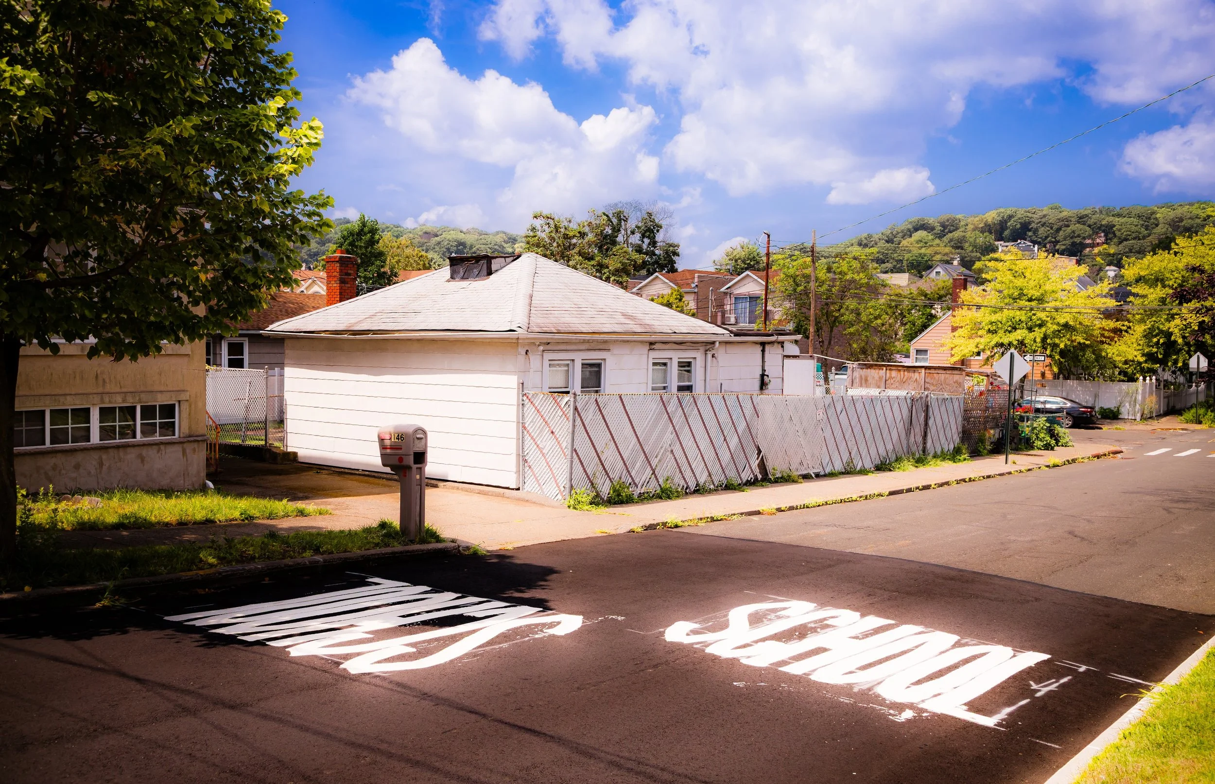
Beyond the apartment complex, Park Hill’s residential streets remain lined with early 20th-century homes, many restored or rebuilt. The area’s cultural diversity is reflected in its local institutions—Caribbean and African churches, small halal markets, and family-owned eateries along Richmond Road and Vanderbilt Avenue. Community gardens and murals express neighborhood pride, while redevelopment efforts in nearby Stapleton Waterfront and Bay Street Corridor signal broader renewal across the North Shore.
Despite ongoing socioeconomic challenges, Park Hill’s location and resilience have reasserted its importance within Staten Island’s urban fabric. Its residents—longtime families and recent immigrants alike—continue to define its character through grassroots activism, cultural celebration, and mutual support. The neighborhood’s name, once aspirational, has become emblematic of endurance: a hill that, through generations, remains home.
Park Hill Photo Gallery
Spirit and Legacy
The spirit of Park Hill lies in its perseverance and its plurality. It is a place where Staten Island’s earliest estates gave way to 20th-century suburbia, and where the struggles and triumphs of urban America have played out on a single hillside overlooking the harbor. Its legacy is one of adaptation: from wooded slopes to garden apartments, from decline to renewal, from segregation to a richly multicultural community.
Park Hill stands today as both a testament to Staten Island’s complex urban history and a beacon of its evolving identity—a reminder that vitality is born of diversity, and that communities endure not only through preservation but through reinvention.
New York City
Use this custom Google map to explore where every neighborhood in all five boroughs of New York City is located.
The Five Boroughs
One of New York City’s unique qualities is its organization in to 5 boroughs: Manhattan, Brooklyn, Queens, The Bronx, and Staten Island. These boroughs are part pragmatic administrative districts, and part vestiges of the region’s past. Each borough is an entire county in New York State - in fact, Brooklyn is, officially, Kings County, while Staten Island is, officially Richmond County. But that’s not the whole story …
Initially, New York City was located on the southern tip of Manhattan (now the Financial District) that was once the Dutch colony of New Amsterdam. Across the East River, another city was rising: Brooklyn. In time, the city planners realized that unification between the rapidly rising cities would create commercial and industrial opportunities - through streamlined administration of the region.
So powerful was the pull of unification between New York and Brooklyn that three more counties were pulled into the unification: The Bronx, Queens, and Staten Island. And on January 1, 1898, the City of New York unified two cities and three counties into one Greater City of New York - containing the five boroughs we know today.
But because each borough developed differently and distinctly until unification, their neighborhoods likewise uniquely developed. Today, there are nearly 390 neighborhoods, each with their own histories, cultures, cuisines, and personalities - and each with residents who are fiercely proud of their corner of The Big Apple.


