
HUGUENOT PARK
Staten Island
Geographic Setting
Bounded by Drumgoole Road and the Korean War Veterans Parkway to the north, Bertram Avenue to the east, the Raritan Bay to the south, and Cornelia and Woodhull Avenues to the west, Huguenot Park forms the southernmost portion of the greater Huguenot district on Staten Island’s South Shore—a tranquil, waterfront community that stretches from quiet inland streets to the open horizon of the bay. The neighborhood is defined by its geography: a mosaic of tree-lined residential blocks, preserved wetlands, and shoreline meadows where land gradually yields to sea.
Set between Prince’s Bay and Annadale, Huguenot Park occupies a landscape shaped by water and open sky. The Blue Heron Park Preserve and adjoining greenbelts extend into its northern fringe, while to the south, the Raritan Bay’s tidal flats and inlets create an ever-changing coastline of reeds, birds, and tidal pools. Its streets—Bertram, Huguenot Avenue, Woodhull, and Cornelia—wind gently toward the shore, their rhythm slowing as they near the bay’s edge, where houses stand amid breezes and salt air. This delicate balance of suburbia and shoreline wilderness defines Huguenot Park’s distinctive, almost pastoral character.
Etymology
The name Huguenot Park pays homage to the French Huguenot settlers who arrived on Staten Island in the late 17th century, seeking religious freedom after fleeing persecution in Europe. These early Protestants established farms and homesteads along the island’s southern shore, leaving behind both their name and their enduring spirit of refuge. “Huguenot” thus became synonymous with freedom, endurance, and cultivation—qualities reflected in the area’s long history of settlement and stewardship.
The “Park” designation distinguishes this southern coastal section from inland Huguenot North and the railway-centered Huguenot proper, while also reflecting the natural abundance of open space, wetlands, and waterfront reserves that surround it. As such, the name Huguenot Park evokes both history and landscape: a place born from heritage, embraced by nature, and shaped by the enduring pull of the sea.
The Neighborhood
Origins through the 19th Century
In the 17th and 18th centuries, this coastal land was part of the fertile Town of Westfield, a region dominated by farms, orchards, and salt meadows extending from Arthur Kill Road to the Raritan Bay. The Huguenot settlers and their descendants—many intermarried with Dutch and English families—cultivated this low-lying terrain, taking advantage of the rich tidal soil for agriculture and grazing. Small homesteads, barns, and mills dotted the shoreline, connected by rough country roads that would later become Bertram Avenue and Huguenot Avenue.
By the early 19th century, the area’s maritime location made it a modest hub for coastal trade. Farmers shipped produce and lumber by boat across the Raritan Bay to New Jersey markets, while local craftsmen and fishermen lived along the coves. Despite this activity, the landscape remained overwhelmingly rural, punctuated by woodlots and marshes that stretched to the water’s edge. When the Staten Island Railway opened in 1860, linking the South Shore to St. George and Manhattan via ferry, Huguenot became more accessible, and small clusters of summer cottages began to appear near the bay.
Still, Huguenot Park retained its bucolic identity—a quiet agricultural and maritime community set against the vast sweep of the Raritan Bay, where open fields and sea grass framed views that have changed little in more than a century.
Early 20th Century: The Seaside Hamlet
In the early 1900s, Huguenot Park began to transition from a farming hamlet to a seaside residential enclave. The improved Amboy Road and nearby railway line brought new settlers, many of them middle-class families from Manhattan and Brooklyn seeking clean air and open space. Modest frame houses and summer cottages appeared along Bertram and Woodhull Avenues, while local shops and churches sprang up near the inland station area.
The bay remained central to local life. Families fished and dug clams along the tidal flats, and small docks extended into the calm shallows of the Raritan. On clear summer days, residents could see the outline of Sandy Hook and the New Jersey coast across the bay, while in winter, frost glazed the wetlands and the sound of the surf carried inland.
Unlike more heavily developed parts of Staten Island, Huguenot Park retained an intimate, village-like scale. Its identity was defined not by commerce but by calm—an early suburban refuge where nature and neighborhood were intertwined. Many of the families who settled here in the 1920s and 1930s would remain for generations, establishing the deep community roots that endure today.
Huguenot Park Video Coming Soon
Mid–Late 20th Century: Suburbanization and Preservation
The post–World War II era reshaped Staten Island profoundly, and Huguenot Park evolved along with it. The construction of the Verrazzano-Narrows Bridge (1964) and the Korean War Veterans Parkway spurred a wave of suburban development across the South Shore, transforming open farmland into residential streets. In Huguenot Park, however, this transformation was tempered by the natural limitations of the landscape: much of the southernmost terrain, prone to tidal flooding and rich in wetlands, was unsuitable for large-scale construction.
As a result, development concentrated along the higher inland blocks near Drumgoole Road, while the bayfront areas remained sparsely built, preserving their ecological character. In the 1970s, portions of the surrounding shoreline were designated as protected parkland, forming part of the Blue Heron Park Preserve and associated coastal conservation zones. These efforts safeguarded tidal creeks, ponds, and salt marshes—habitats vital to herons, egrets, and migratory birds.
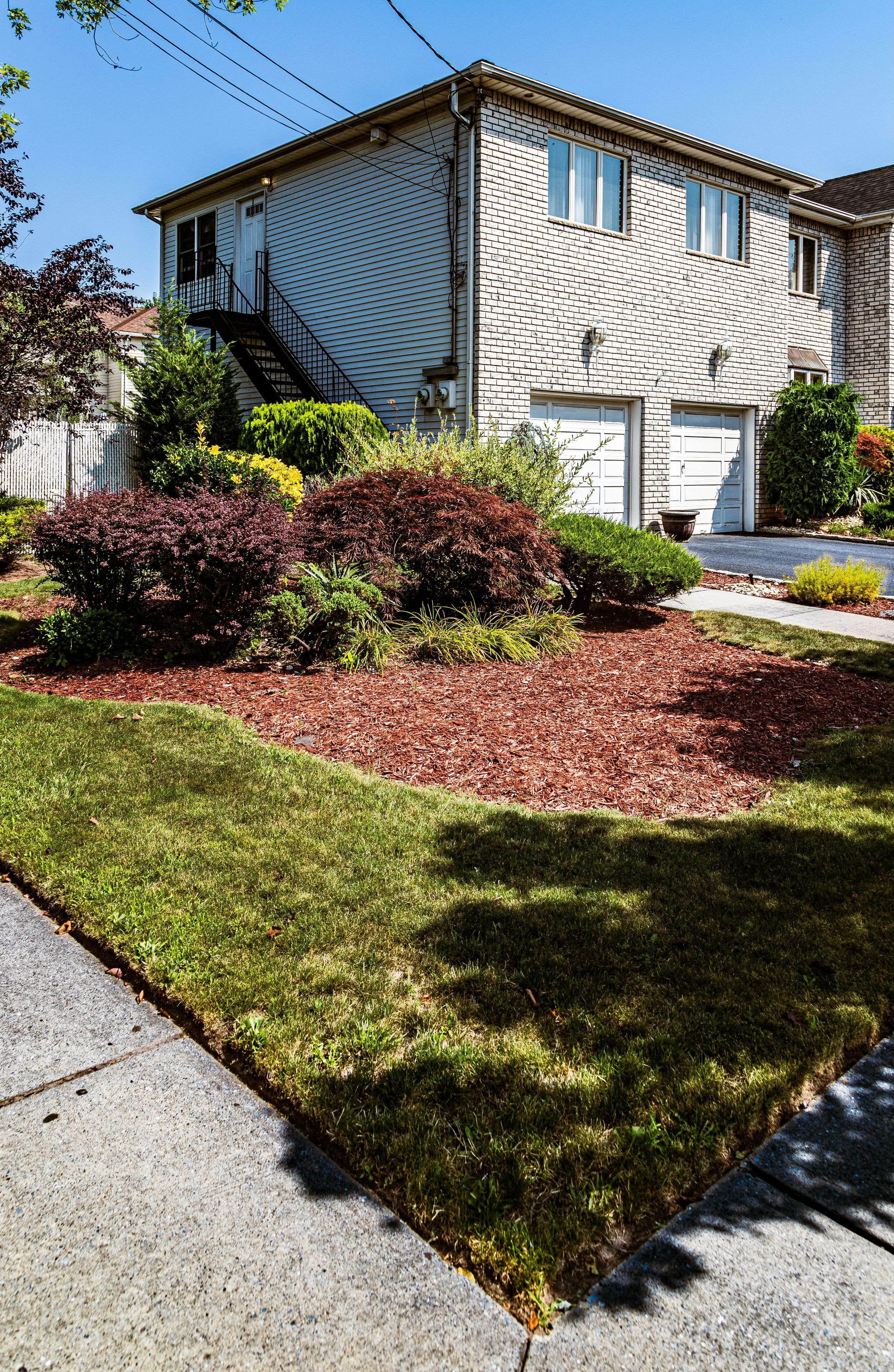
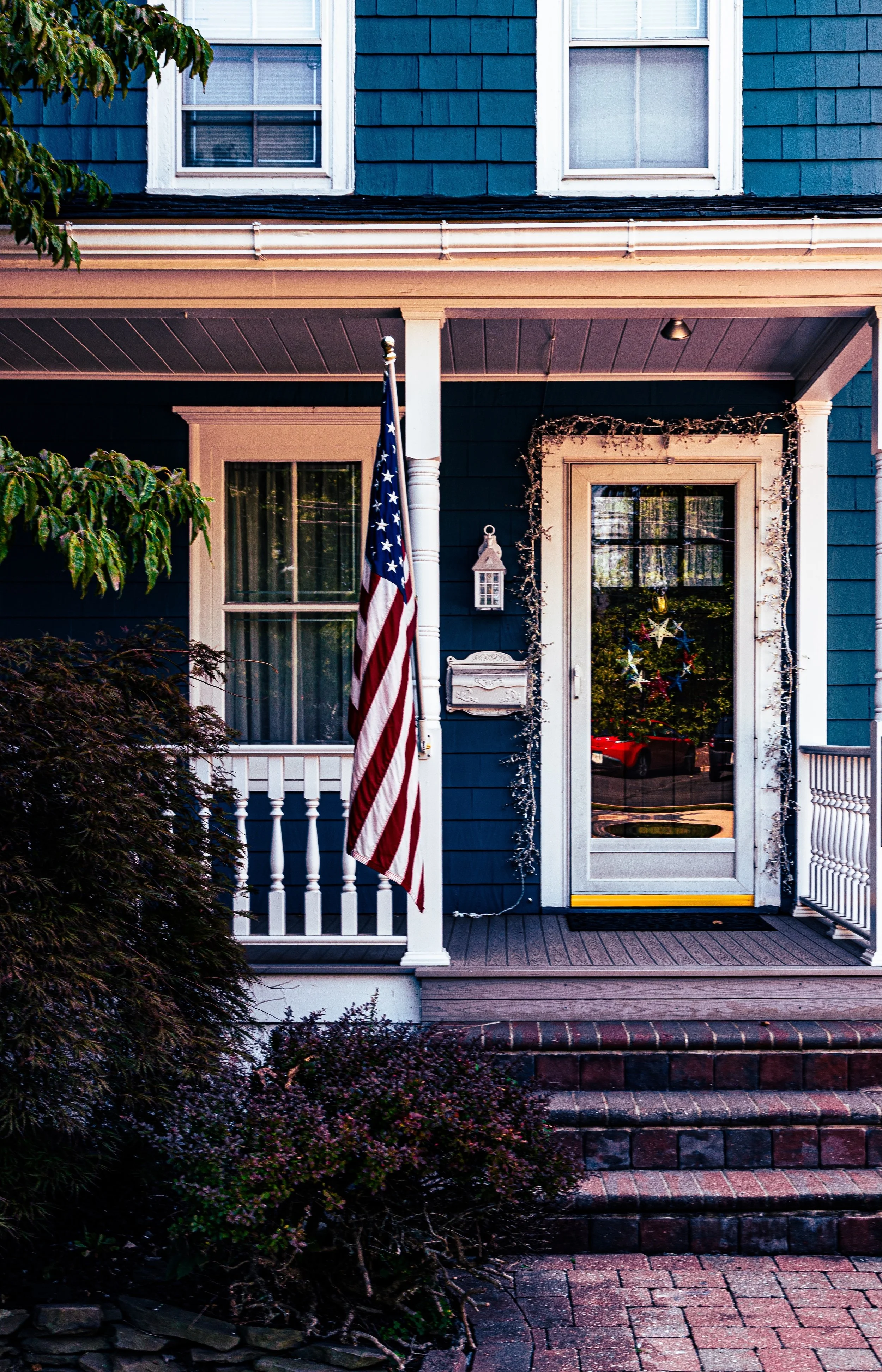
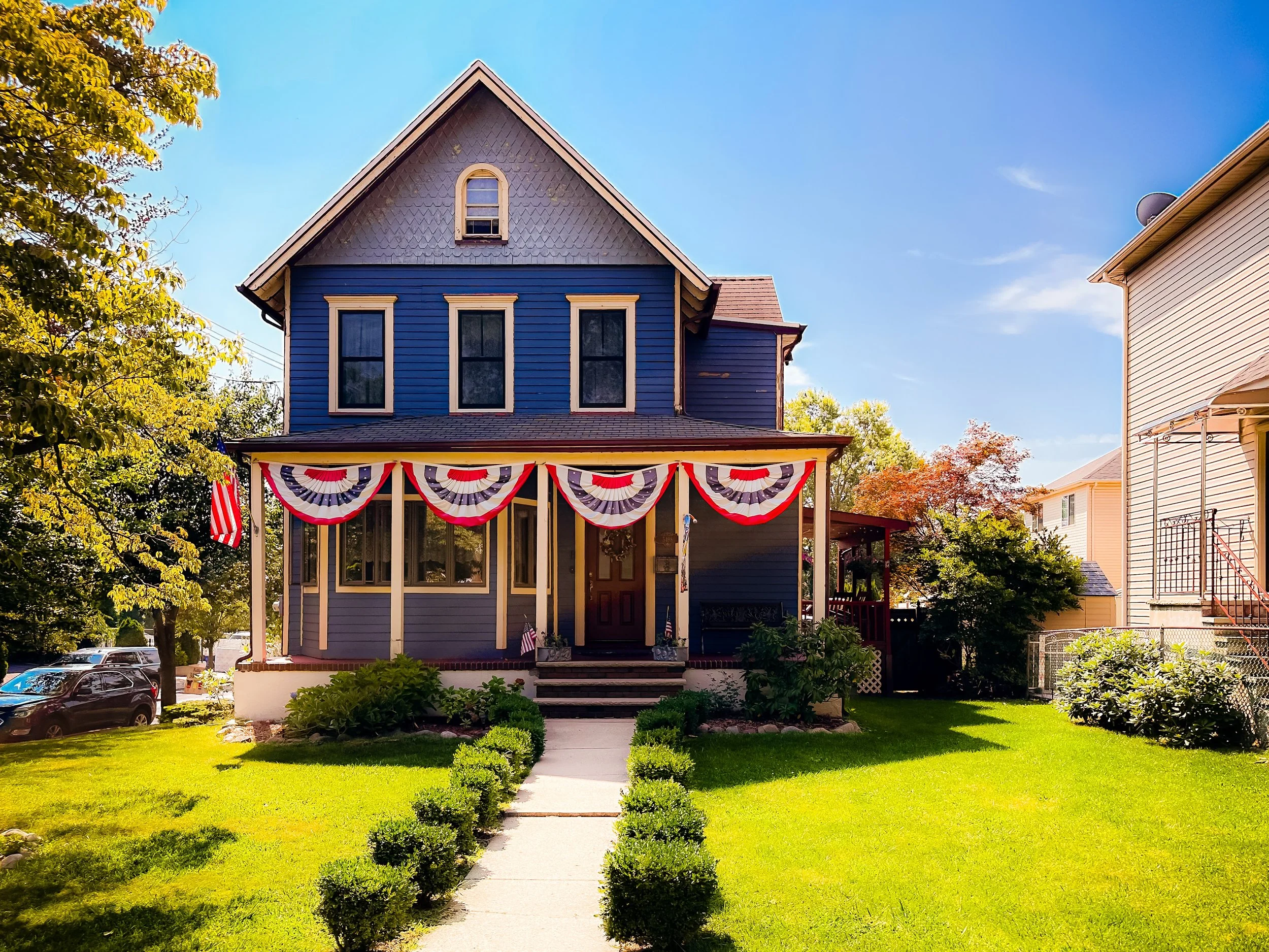
By the 1980s and 1990s, Huguenot Park had fully matured into a tranquil residential neighborhood, characterized by tree-lined streets, low-density housing, and direct access to preserved open space. The blend of nature and suburbia became its defining quality: a quiet seaside community within New York City’s limits.
21st Century: A Coastal Suburb in Balance
In the 21st century, Huguenot Park continues to embody Staten Island’s ideal of suburban life in harmony with the natural world. Its homes—predominantly single-family colonials, ranches, and modern rebuilds—stand amid expansive yards and mature trees, many with distant glimpses of the bay. Along the southern edge, the Raritan Bay shoreline and adjoining wetlands form a living boundary where suburban streets give way to reeds, waterfowl, and open horizon.
Environmental stewardship has become central to the neighborhood’s identity. Local civic associations collaborate with city and federal agencies to maintain the integrity of the Blue Heron Park Preserve and surrounding ecosystems. Following Hurricane Sandy (2012), resilience initiatives focused on flood mitigation and shoreline restoration further reinforced the community’s long-standing connection to the bay.
Huguenot Park’s location—removed from the urban core yet connected via the Korean War Veterans Parkway and the Staten Island Railway—offers both privacy and accessibility. Residents enjoy proximity to parks, beaches, and neighboring commercial centers, yet the area remains defined by quietude and open space. It stands today as one of Staten Island’s most bucolic and environmentally conscious communities—a model of how modern suburbia can coexist with the rhythms of the natural coast.
Huguenot Park Photo Gallery
Spirit and Legacy
The spirit of Huguenot Park lies in its continuity with both land and sea. It is a neighborhood shaped by its geography as much as by its people—a place where the tide’s rhythm mirrors the calm of everyday life. From the 17th-century farms of its Huguenot founders to the 20th-century homes nestled among trees and reeds, its legacy is one of settlement in harmony with nature.
Here, the boundaries between history, habitat, and home blur gracefully: children play beneath the same sky once crossed by herons and clipper sails; streets curve gently toward the water’s edge as they have for generations. Huguenot Park endures as a sanctuary of Staten Island’s southern soul—a landscape of salt air, heritage, and human quietude.
New York City
Use this custom Google map to explore where every neighborhood in all five boroughs of New York City is located.
The Five Boroughs
One of New York City’s unique qualities is its organization in to 5 boroughs: Manhattan, Brooklyn, Queens, The Bronx, and Staten Island. These boroughs are part pragmatic administrative districts, and part vestiges of the region’s past. Each borough is an entire county in New York State - in fact, Brooklyn is, officially, Kings County, while Staten Island is, officially Richmond County. But that’s not the whole story …
Initially, New York City was located on the southern tip of Manhattan (now the Financial District) that was once the Dutch colony of New Amsterdam. Across the East River, another city was rising: Brooklyn. In time, the city planners realized that unification between the rapidly rising cities would create commercial and industrial opportunities - through streamlined administration of the region.
So powerful was the pull of unification between New York and Brooklyn that three more counties were pulled into the unification: The Bronx, Queens, and Staten Island. And on January 1, 1898, the City of New York unified two cities and three counties into one Greater City of New York - containing the five boroughs we know today.
But because each borough developed differently and distinctly until unification, their neighborhoods likewise uniquely developed. Today, there are nearly 390 neighborhoods, each with their own histories, cultures, cuisines, and personalities - and each with residents who are fiercely proud of their corner of The Big Apple.


