
LONGWOOD
The Bronx
Geographic Setting
Bounded by East 163rd Street to the north, Prospect Avenue to the west, East 149th Street to the south, and the Bruckner Expressway to the southeast, Longwood occupies the southeastern section of the South Bronx—a neighborhood defined by its historic brownstone architecture, broad tree-lined avenues, and powerful legacy of resilience. Once a genteel enclave of turn-of-the-century rowhouses, Longwood later became a symbol of urban struggle and rebirth, its story mirroring the Bronx’s own arc from prosperity through hardship to revival.
The neighborhood centers around Longwood Avenue, its namesake street, which cuts diagonally across the otherwise rectilinear grid. Southern Boulevard and Westchester Avenue form its commercial spines, animated by a mix of small businesses, churches, and schools. Interborough Rapid Transit (IRT) lines 2, 5, and 6 run nearby, providing swift access to Manhattan while anchoring the neighborhood’s connectivity. Despite its proximity to major traffic corridors like the Bruckner Expressway, Longwood retains a distinctly residential rhythm, shaped by the enduring presence of brownstone and limestone rowhouses along Beck Street, Kelly Street, and Fox Street, which form one of the Bronx’s most architecturally cohesive historic districts.
Today, Longwood sits at the crossroads of history and renewal—its restored homes and public spaces standing as emblems of community persistence in the face of decades of disinvestment.
Etymology
The name “Longwood” traces back to the Longwood estate, the 19th-century country home of the Fox family, among the early settlers and landowners in what was then part of the Town of West Farms. The Fox estate, which extended across much of the present neighborhood, took its name from the estate’s long, wooded approach road—“Long Wood”—that once ran toward the East River. When the land was subdivided for urban development in the late 19th century, the name “Longwood” was adopted for the new street grid and persisted as the identity of the emerging neighborhood.
Thus, “Longwood” preserves the memory of a pastoral landscape that predated the dense urban fabric we see today—a reminder of the area’s transformation from rural estate to urban neighborhood.
The Neighborhood
Origins through the 19th Century
Before the grid and tenements, the land that became Longwood was part of the sprawling Fox family estate, acquired in the 17th century by English settlers and held by their descendants for generations. The Foxes were prominent farmers, and their holdings extended from today’s Westchester Avenue to the Bronx River. Their mansion, known as Longwood, was a graceful Georgian-style house surrounded by orchards and gardens—a vestige of the Bronx’s agrarian past.
The area remained rural until the late 19th century, when the expansion of New York City’s transit network and the annexation of the western Bronx (1874) spurred rapid subdivision. Streets were laid out along a uniform grid, and the construction of elevated rail lines along Westchester and Southern Boulevards connected Longwood to downtown Manhattan. By the 1890s, developers were erecting brownstone and brick rowhouses to serve the city’s growing middle class—particularly Jewish, Irish, and German families moving north from Manhattan’s crowded Lower East Side.
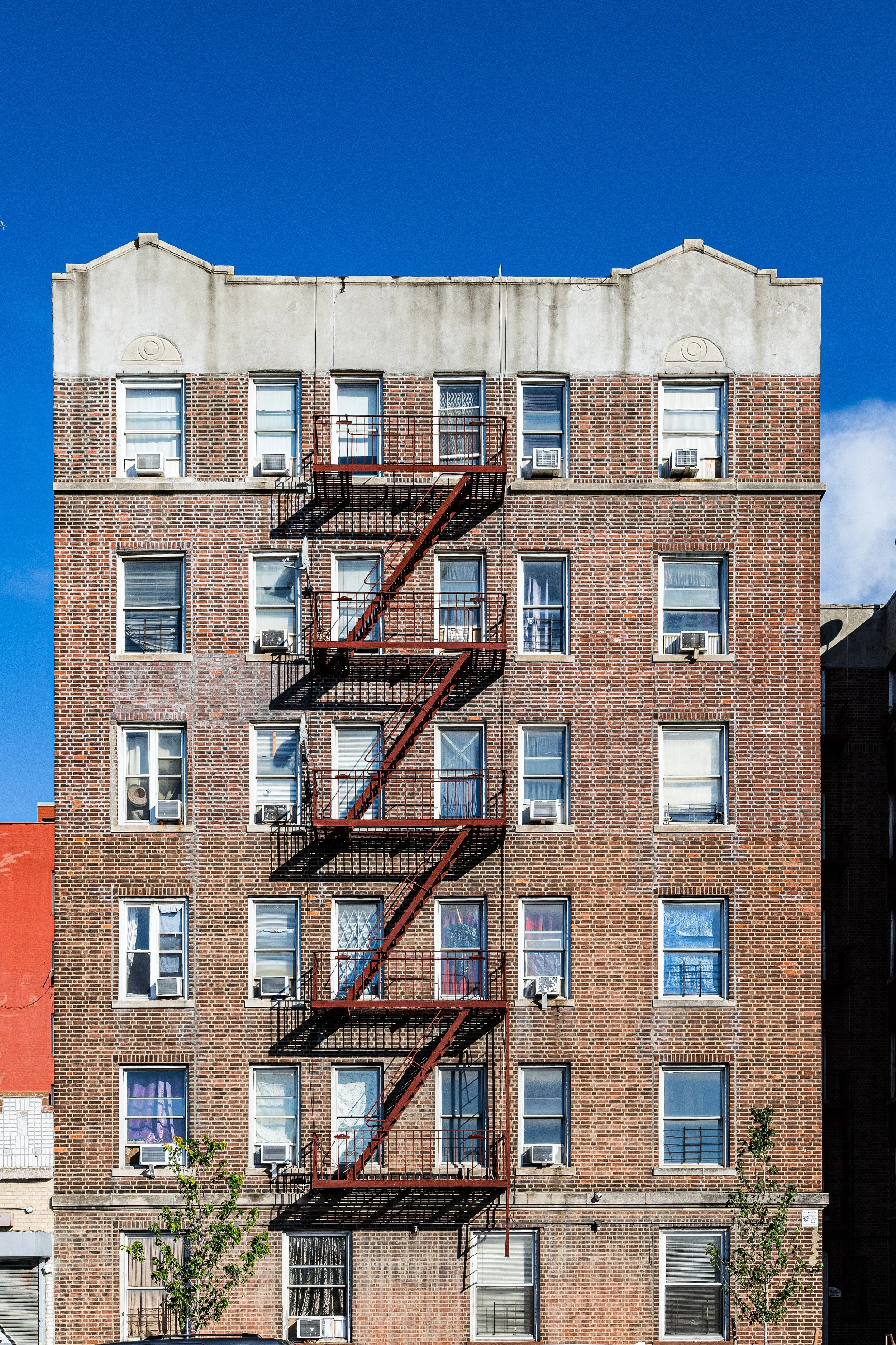
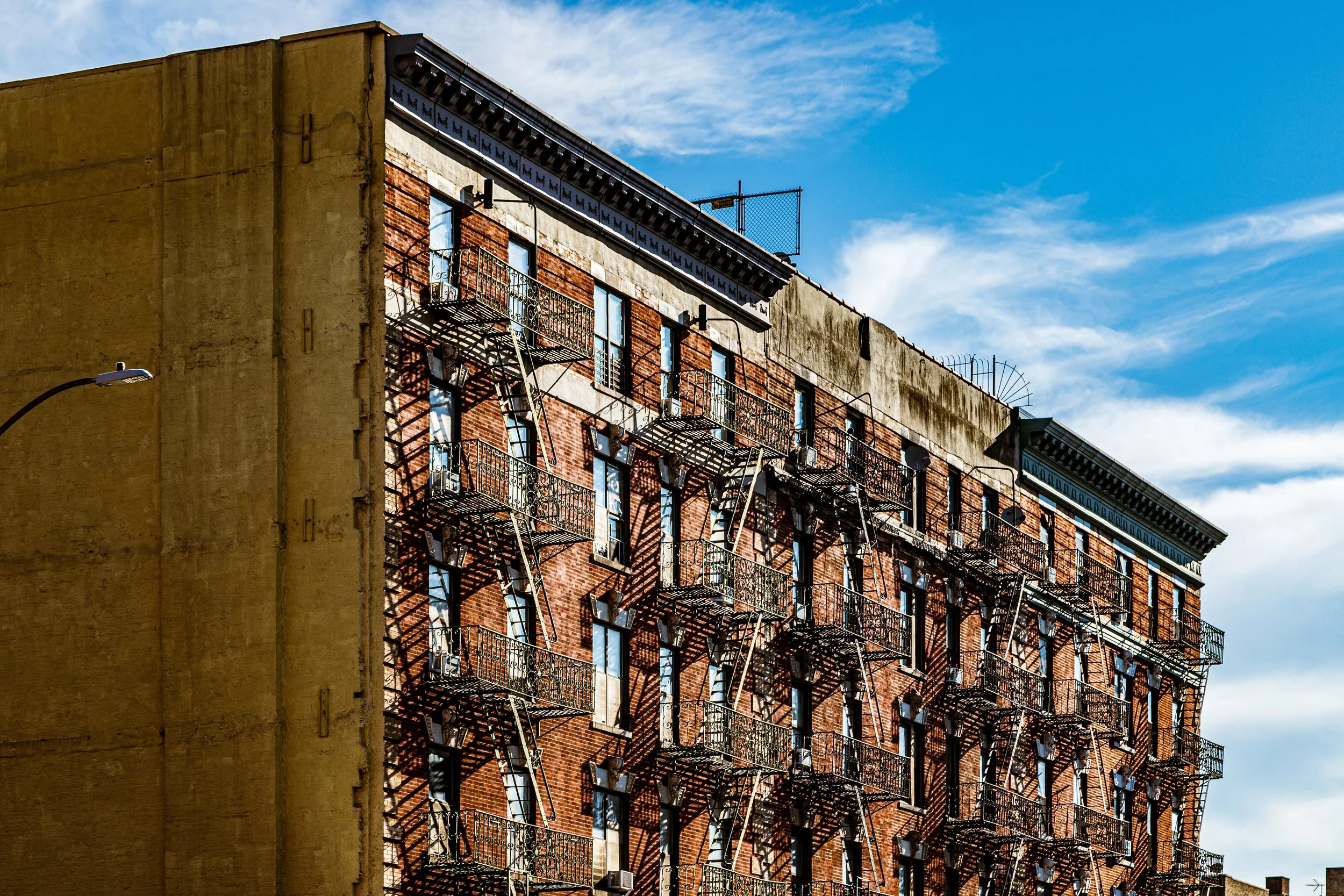
These early developments gave Longwood its architectural identity: neo-Renaissance and Romanesque Revival rowhouses, with stoops, carved lintels, and decorative cornices, built between 1895 and 1910. They remain among the Bronx’s most architecturally distinguished residential blocks.
Early 20th Century: A Thriving Urban Enclave
By the 1910s and 1920s, Longwood was a vibrant working- and middle-class neighborhood. Its population was primarily Jewish and Italian, drawn by affordable housing and proximity to factories, shops, and transit. Southern Boulevard emerged as a bustling commercial corridor, lined with bakeries, tailors, and kosher delis. The elevated trains on Westchester Avenue and Southern Boulevard provided access to Manhattan, while local institutions—Public School 39, St. Athanasius Church, and numerous social clubs—anchored community life.
The area’s architecture flourished during this period, reflecting pride and aspiration: the Kelly Street Historic District and Beck Street rowhouses embodied early 20th-century craftsmanship, while apartment buildings on Fox Street and Longwood Avenue introduced new urban housing forms. The neighborhood’s compactness, civic amenities, and green stoops fostered a close-knit, street-based culture typical of prewar New York.
By mid-century, Longwood was fully urbanized—a self-contained neighborhood with its own schools, houses of worship, and a thriving local economy centered on Southern Boulevard.
Longwood Video Coming Soon
Mid–Late 20th Century: Decline, Fire, and Survival
The 1950s through 1970s brought immense upheaval. As middle-class residents left for the suburbs, economic decline, redlining, and city disinvestment set in. The construction of the Bruckner Expressway (completed 1973) severed parts of the neighborhood from the waterfront and displaced many families. At the same time, aging buildings, absentee landlords, and discriminatory lending policies left Longwood vulnerable to neglect.
The 1970s South Bronx fires devastated the neighborhood. Blocks along Fox Street, Beck Street, and Longwood Avenue were left in ruins as arson swept through the borough. Newspapers labeled the area a symbol of urban collapse, and aerial photographs of burning buildings along Southern Boulevard became infamous images of New York’s decline. By 1977, nearly 60% of the neighborhood’s housing stock had been destroyed or abandoned.
Yet amid this devastation, Longwood’s residents and community leaders refused to abandon their home. Grassroots organizations such as The Mid-Bronx Desperadoes, SEBCO (South East Bronx Community Organization), and The Banana Kelly Community Improvement Association emerged, pioneering models of community-controlled redevelopment. With federal grants, sweat equity, and sheer determination, residents began reclaiming abandoned buildings, converting them into cooperatives and affordable housing.
21st Century: Restoration and Renaissance
Today, Longwood stands as one of the Bronx’s most remarkable stories of rebirth. The Longwood Historic District, designated by the New York City Landmarks Preservation Commission in 1980, protects a cluster of late-19th-century rowhouses along Beck Street, Kelly Street, and East 156th Street—one of the few surviving prewar residential ensembles in the South Bronx. These beautifully restored homes, with their ornate stoops and stone facades, now serve as both architectural jewels and symbols of perseverance.
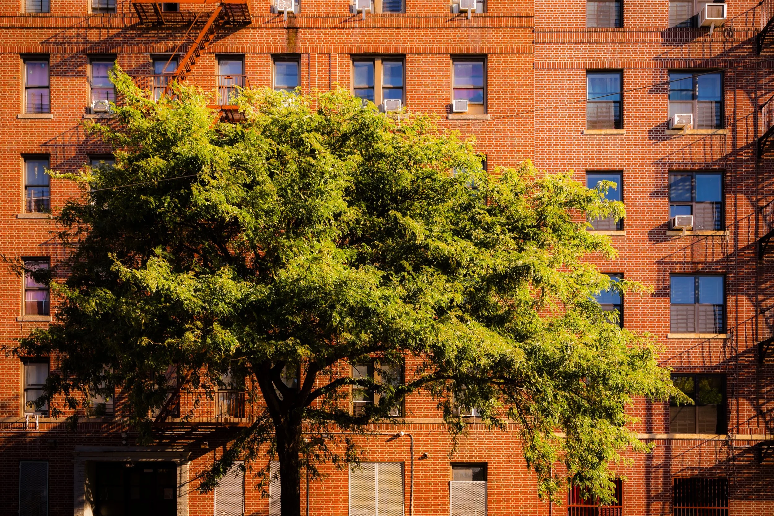
The neighborhood’s population—largely Latino, particularly Puerto Rican, Dominican, and Mexican—continues to define its vibrant cultural life. Murals, festivals, and community gardens celebrate Bronx heritage, while affordable housing developments like Fox-Leggett Cooperative Apartments and the Kelly Street Restoration Project demonstrate how community-driven investment can transform the urban landscape.
Cultural institutions, such as The POINT Community Development Corporation and the Bronx Music Heritage Center nearby, contribute to a thriving arts ecosystem that honors the Bronx’s role in hip-hop, Latin music, and urban activism. Public spaces, including Bill Rainey Park and revitalized playgrounds, offer greenery and recreation where burned-out lots once stood.
While challenges remain—economic inequality, housing pressures, and environmental concerns—Longwood exemplifies sustainable urban renewal rooted in local empowerment.
Longwood Photo Gallery
Spirit and Legacy
The spirit of Longwood is that of endurance transformed into art. From its 19th-century rowhouses to the murals that adorn its walls, from the fires of the 1970s to the festivals of today, the neighborhood embodies the Bronx’s defining resilience. Its very streets, once synonymous with loss, now symbolize community triumph and rebirth.
New York City
Use this custom Google map to explore where every neighborhood in all five boroughs of New York City is located.
The Five Boroughs
One of New York City’s unique qualities is its organization in to 5 boroughs: Manhattan, Brooklyn, Queens, The Bronx, and Staten Island. These boroughs are part pragmatic administrative districts, and part vestiges of the region’s past. Each borough is an entire county in New York State - in fact, Brooklyn is, officially, Kings County, while Staten Island is, officially Richmond County. But that’s not the whole story …
Initially, New York City was located on the southern tip of Manhattan (now the Financial District) that was once the Dutch colony of New Amsterdam. Across the East River, another city was rising: Brooklyn. In time, the city planners realized that unification between the rapidly rising cities would create commercial and industrial opportunities - through streamlined administration of the region.
So powerful was the pull of unification between New York and Brooklyn that three more counties were pulled into the unification: The Bronx, Queens, and Staten Island. And on January 1, 1898, the City of New York unified two cities and three counties into one Greater City of New York - containing the five boroughs we know today.
But because each borough developed differently and distinctly until unification, their neighborhoods likewise uniquely developed. Today, there are nearly 390 neighborhoods, each with their own histories, cultures, cuisines, and personalities - and each with residents who are fiercely proud of their corner of The Big Apple.


