FLATLANDS
Brooklyn
Geographic Setting
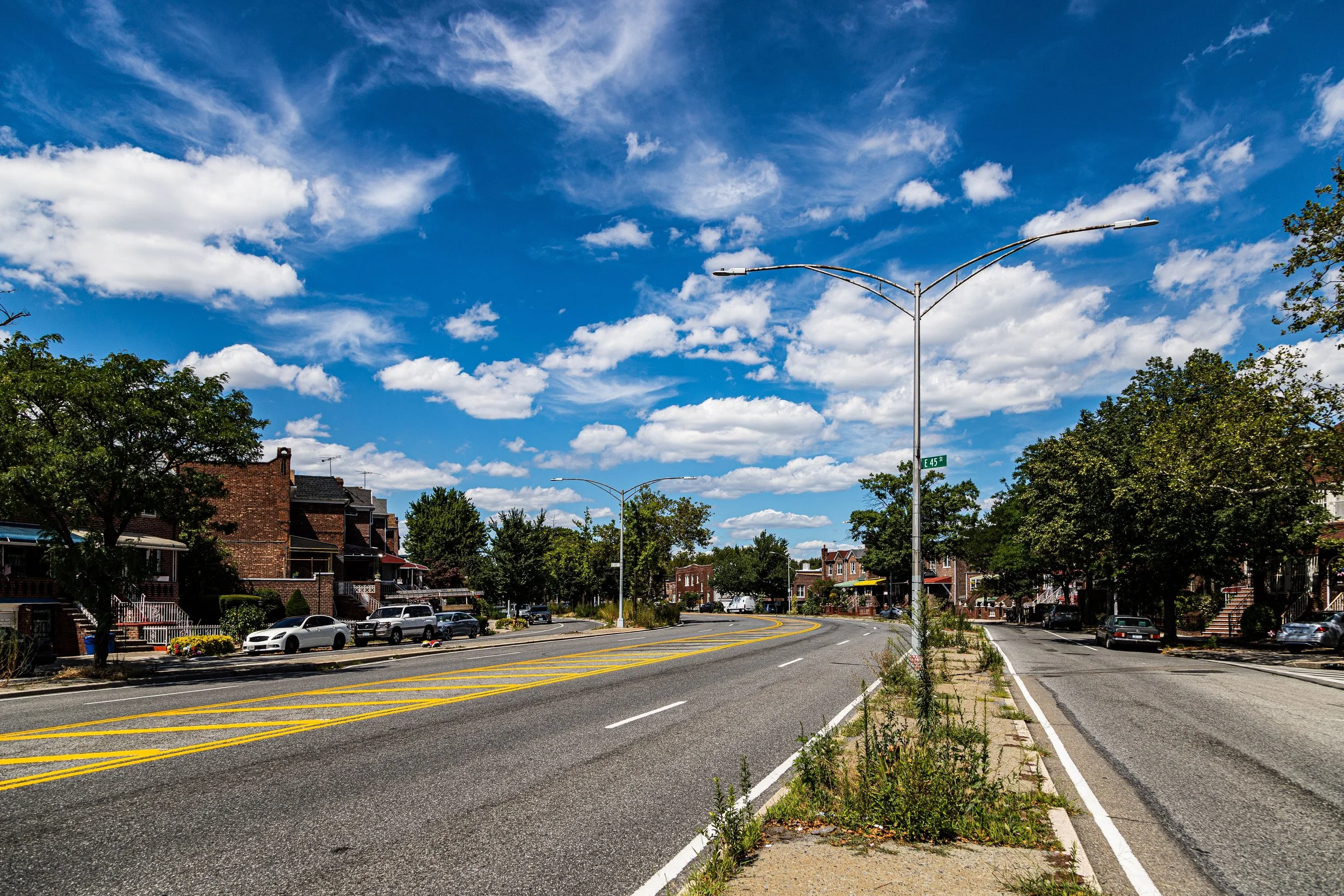
Bounded by Nostrand Avenue to the west, the Long Island Rail Road Bay Ridge Branch to the north, Ralph Avenue to the east, and Avenue T to the south, Flatlands occupies a broad expanse of southeastern Brooklyn—an area defined by its low-lying terrain, orderly residential streets, and quiet continuity. Nestled between Flatbush, Canarsie, and Mill Basin, it remains one of the borough’s most distinctly suburban districts, a place where detached homes, driveways, and front lawns recall its rural past even as urban life hums nearby.
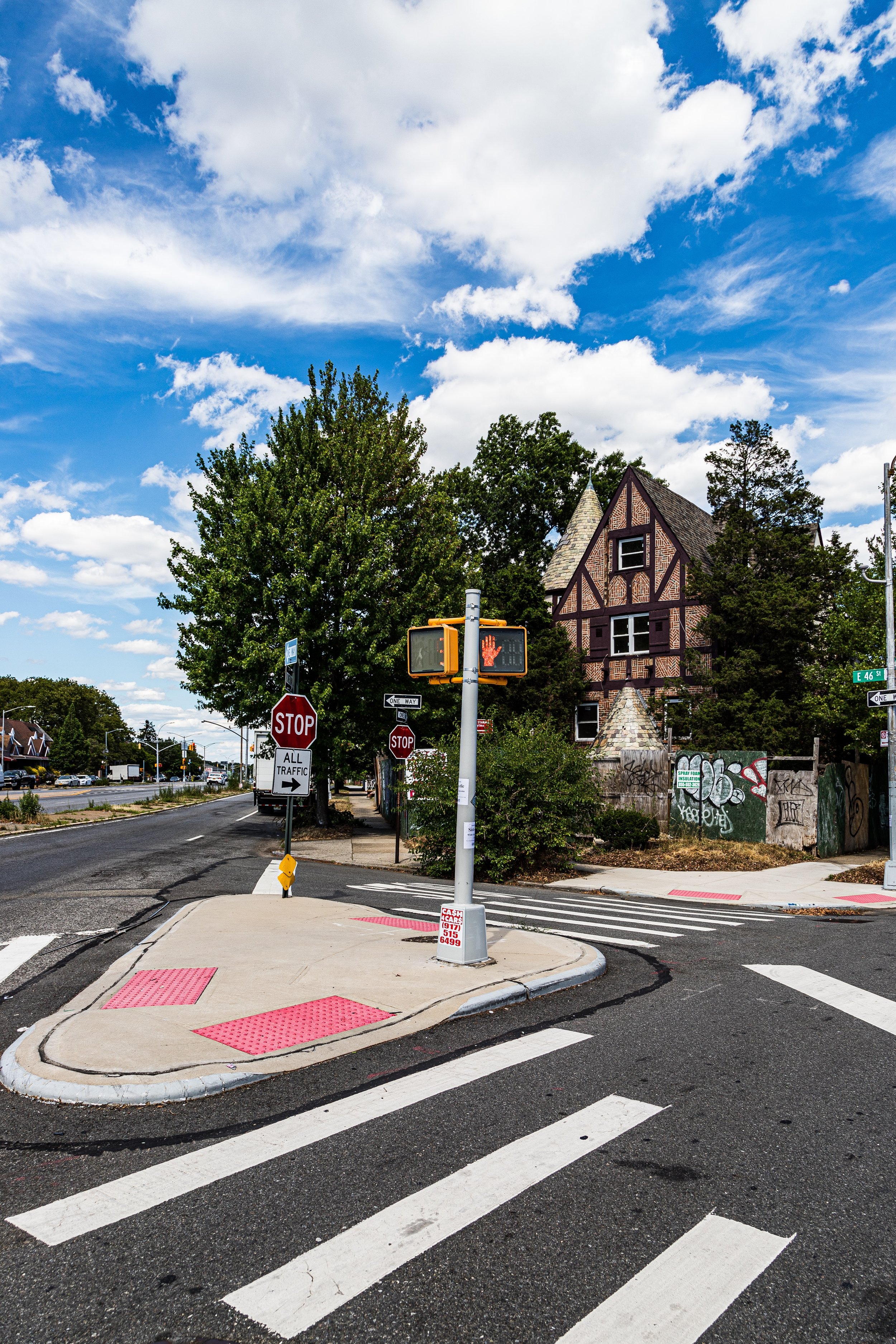
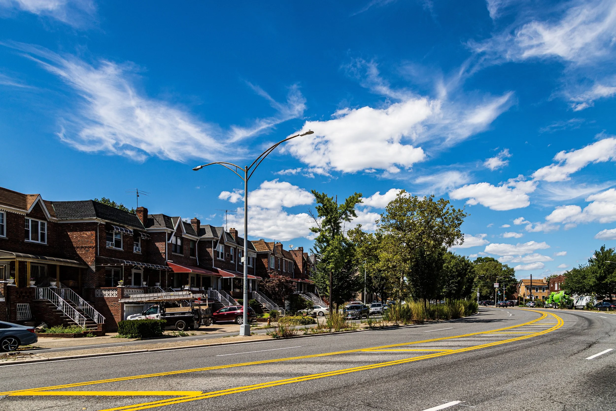
The neighborhood’s grid is wide and regular, marked by neat blocks of brick and frame one- and two-family houses built primarily in the 1920s through 1950s. The commercial corridors of Flatbush Avenue, Ralph Avenue, and Utica Avenue frame its edges, while interior streets such as Avenue J, Avenue K, and Avenue L form tranquil corridors of domestic life. Flatlands is less vertical than its neighbors: its skyline is defined by trees, church steeples, and the occasional school cupola rather than apartment towers. To the south, the land dips gently toward the old salt marshes that once bordered Jamaica Bay, giving the area its name and its enduring sense of openness.
Etymology and Origins
The name Flatlands is a direct English translation of the Dutch Nieuw Amersfoort, one of the original six towns of Kings County founded by Dutch settlers in the mid-17th century. The region’s flat, fertile plain—once covered with forests and tidal meadows—was ideal for agriculture. Early settlers, including the Kouwenhoven, Voorhees, Schenck, and Van Siclen families, established farms that remained in continuous operation for more than two centuries.
At the heart of colonial Flatlands stood the Flatlands Reformed Dutch Church (1654), a modest wood-frame structure later replaced by the present stone church in 1848, still standing at Kings Highway and East 40th Street. Around it lay a small village of farmhouses, windmills, and barns connected by sandy roads that followed Native American trails—most notably Kings Highway, one of the oldest thoroughfares in New York State.
The Neighborhood
18th–19th Century: A Rural Stronghold
Throughout the 18th and 19th centuries, Flatlands remained stubbornly agricultural even as Brooklyn’s northern districts urbanized. Its fertile soil supported vegetable farming, dairy production, and orchards that supplied markets in downtown Brooklyn and Manhattan. The area’s isolation preserved its rural culture: tight-knit Dutch-descended families intermarried, Dutch Reformed congregations remained central, and English was slow to replace the old Dutch dialect.
The Revolutionary War touched Flatlands only lightly; its residents were largely Loyalist, and the landscape saw little fighting compared to nearby Flatbush. In the 19th century, improvements to Kings Highway and Flatbush Avenue brought modest growth, but the district remained a patchwork of farms and hamlets. Wealthy Brooklynites established a few country estates here, drawn by the open fields and sea breezes.
By the 1870s, however, the arrival of rail service and the expansion of Brooklyn’s water system foreshadowed transformation. Land speculators began subdividing farmland into suburban lots, though serious development would not arrive until the 20th century.
Early–Mid 20th Century: Suburban Expansion and Integration
The early 1900s brought the most dramatic changes in Flatlands’ history. As the city extended utilities and paved roads southward, developers marketed the area as a suburban haven for middle-class families seeking space and affordability. Detached brick and stucco houses with porches and small gardens replaced farmland, often built in tidy rows by speculative builders. The grid extended south from the Bay Ridge rail line toward Avenue T, forming a new, cohesive neighborhood.
The opening of trolley lines along Flatbush and Utica Avenues—and later the IRT subway connection to nearby Flatbush Junction (1906)—made commuting practical. Flatlands’ population exploded during the interwar years, with new arrivals from Eastern Europe, Italy, and Ireland filling its streets. Churches and synagogues were built to serve the growing community: St. Thomas Aquinas Roman Catholic Church (1884) expanded to accommodate thousands of parishioners, while the Flatlands Jewish Center and smaller congregations reflected the area’s ethnic mix.
After World War II, another wave of development completed the neighborhood’s suburban transformation. Bungalows and semi-detached brick homes filled the last empty lots, and small shopping strips appeared along Flatbush Avenue and Ralph Avenue. By the 1950s, Flatlands had become a solidly middle-class enclave of homeowners—an archetype of postwar Brooklyn respectability.
Flatlands Video Coming Soon
Late 20th Century: Transitions and Cultural Continuity
The 1960s–1980s brought demographic change but little physical upheaval. As older European families moved outward to Long Island and Queens, African American and Caribbean families—many from neighboring East Flatbush and Canarsie—moved in, sustaining the area’s strong tradition of homeownership. The shift was gradual and largely harmonious, preserving Flatlands’ quiet, community-oriented character.
While New York City faced fiscal crisis and rising crime in the 1970s, Flatlands remained relatively stable. Its distance from the industrial core and its predominance of small homes insulated it from the abandonment that plagued other parts of Brooklyn. Churches and civic groups adapted, with new congregations—Pentecostal, Baptist, and non-denominational Caribbean ministries—occupying existing sanctuaries. Block associations took pride in maintaining lawns and flowerbeds, ensuring that Flatlands retained its clean, residential image.
By the 1990s, the neighborhood’s population was primarily Caribbean American, with strong representation from Jamaica, Barbados, Trinidad, Haiti, and Guyana. Local businesses along Flatbush Avenue reflected this identity: jerk chicken and roti shops beside long-standing pizzerias and hardware stores, testifying to Brooklyn’s layered diversity.
21st Century: Steady Prosperity and Suburban Calm
In the 21st century, Flatlands remains one of Brooklyn’s most stable and distinctly low-rise neighborhoods. The houses built in the early 20th century still define its streetscape—brick two-family homes with driveways, lawns, and gardens that evoke a suburban rhythm rare within city limits. Though nearby areas such as Flatbush and East Flatbush have seen accelerated development and rising density, Flatlands has largely resisted large-scale rezoning, maintaining its human scale.
Community life continues to revolve around local institutions: St. Thomas Aquinas Church, PS 203 Floyd Bennett School, and the Flatlands Civic Club. Parks such as Amersfort Park and Hendrickson Playground provide green space amid the grid, while major shopping destinations along Flatbush Avenue and Kings Highway link residents to the wider borough. The Flatlands branch of the Brooklyn Public Library, active since 1941, remains a cornerstone of neighborhood identity.
Recent years have brought modest change: new immigrants from Africa, South Asia, and Latin America have joined established Caribbean families, adding to the neighborhood’s cultural mosaic. Real estate values have climbed, but the area’s relative affordability and tranquility continue to attract families seeking stability.
Flatlands Photo Gallery
Spirit and Legacy
Flatlands’ legacy is one of enduring steadiness—a neighborhood that has transitioned gracefully from Dutch farmland to 20th-century suburbia to 21st-century multicultural enclave. Its wide streets, tidy homes, and mature trees are not monuments to the past but living symbols of the city’s quiet resilience.
New York City
Use this custom Google map to explore where every neighborhood in all five boroughs of New York City is located.
The Five Boroughs
One of New York City’s unique qualities is its organization in to 5 boroughs: Manhattan, Brooklyn, Queens, The Bronx, and Staten Island. These boroughs are part pragmatic administrative districts, and part vestiges of the region’s past. Each borough is an entire county in New York State - in fact, Brooklyn is, officially, Kings County, while Staten Island is, officially Richmond County. But that’s not the whole story …
Initially, New York City was located on the southern tip of Manhattan (now the Financial District) that was once the Dutch colony of New Amsterdam. Across the East River, another city was rising: Brooklyn. In time, the city planners realized that unification between the rapidly rising cities would create commercial and industrial opportunities - through streamlined administration of the region.
So powerful was the pull of unification between New York and Brooklyn that three more counties were pulled into the unification: The Bronx, Queens, and Staten Island. And on January 1, 1898, the City of New York unified two cities and three counties into one Greater City of New York - containing the five boroughs we know today.
But because each borough developed differently and distinctly until unification, their neighborhoods likewise uniquely developed. Today, there are nearly 390 neighborhoods, each with their own histories, cultures, cuisines, and personalities - and each with residents who are fiercely proud of their corner of The Big Apple.


