
RICHMOND HILL EAST
Queens
Geographic Setting
Bounded by Hillside Avenue to the north, the Van Wyck Expressway to the east, Atlantic Avenue to the south, 121st Street to the west, and the freight rail lines curving northwest back to Hillside Avenue, Richmond Hill East forms the quieter, more residential half of the greater Richmond Hill district—a compact enclave distinguished by its tree-lined streets, early-20th-century housing stock, and its role as a transitional zone between Kew Gardens, Jamaica, and South Richmond Hill.
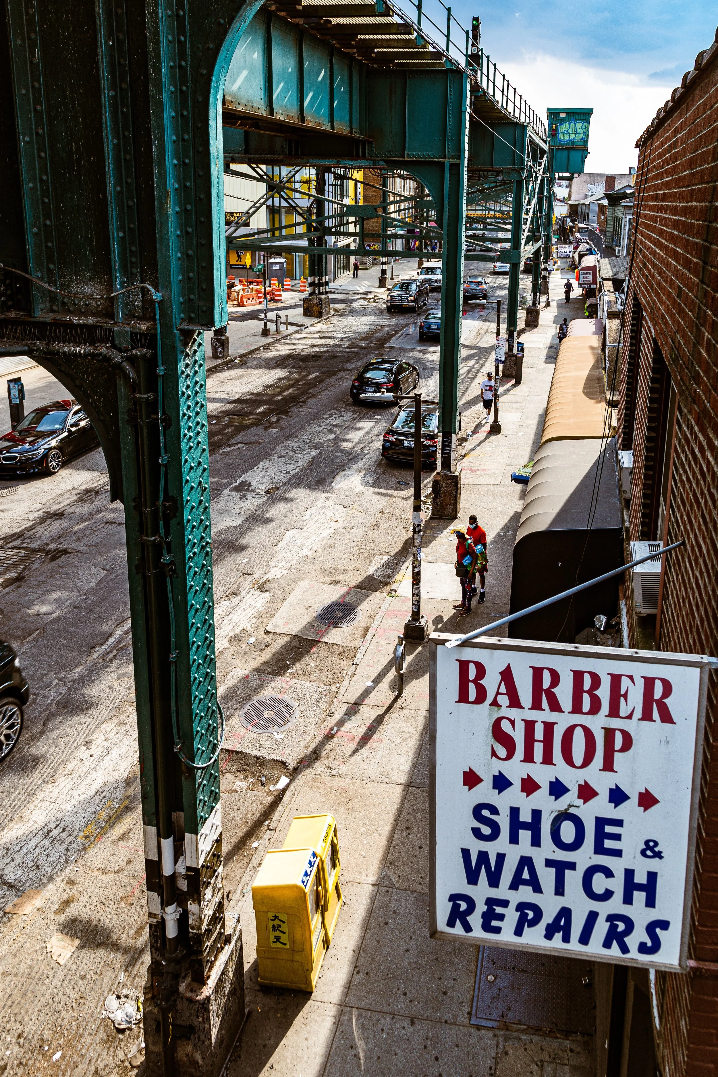
The neighborhood’s terrain rises gently northward toward Hillside Avenue, offering glimpses of the elevated Jamaica Line and the rooftops of nearby Kew Gardens. Its street grid—anchored by Liberty Avenue, Jamaica Avenue, and Metropolitan Avenue beyond—reveals a traditional Queens rhythm: small blocks, detached frame homes, brick rowhouses, and corner stores that serve as the connective tissue of daily life.
To the east, the Van Wyck Expressway and Jamaica Yard rail facilities define a hard industrial edge, while to the west, the neighborhood flows seamlessly into the historic core of Richmond Hill, sharing both its Victorian-era architecture and its dense cultural life. Despite its proximity to major transport arteries, Richmond Hill East retains a residential calm—a pocket of stability amid the kinetic movement of central Queens.
Etymology and Origins
The name “Richmond Hill East” emerged informally in the mid-20th century to distinguish this eastern section from the original Richmond Hill developed in the 1870s by Albon P. Man and Edward Richmond. As the neighborhood expanded eastward beyond Lefferts Boulevard and 121st Street, this newer territory became known as the “East End,” and eventually “Richmond Hill East,” in real estate listings and civic discourse.
The land that now forms Richmond Hill East was originally part of the Town of Jamaica, comprised of farms, woodlots, and the estate holdings of the Van Wyck and Lefferts families. The coming of the Long Island Rail Road’s Montauk Division in the late 19th century, followed by the Brooklyn Union Elevated Line along Jamaica Avenue, made the area accessible to commuters and catalyzed its transformation from farmland to suburb.
By the 1910s, development had reached this eastern fringe, blending into what was then the western edge of Jamaica. Early builders replicated the architectural ideals of the Richmond Hill core—Victorian homes, Colonial Revival houses, and two-family frame dwellings—while laying out a more compact grid to accommodate middle-class families seeking proximity to both the city and open space.
The Neighborhood
Early–Mid 20th Century: Suburban Growth and Civic Identity
Between the 1920s and 1940s, Richmond Hill East evolved into a stable, middle-class enclave defined by tidy housing, accessible transit, and an active civic life. Detached homes with porches and gardens lined 109th, 110th, and 111th Streets, while apartment buildings and commercial strips concentrated near Jamaica Avenue and Hillside Avenue.
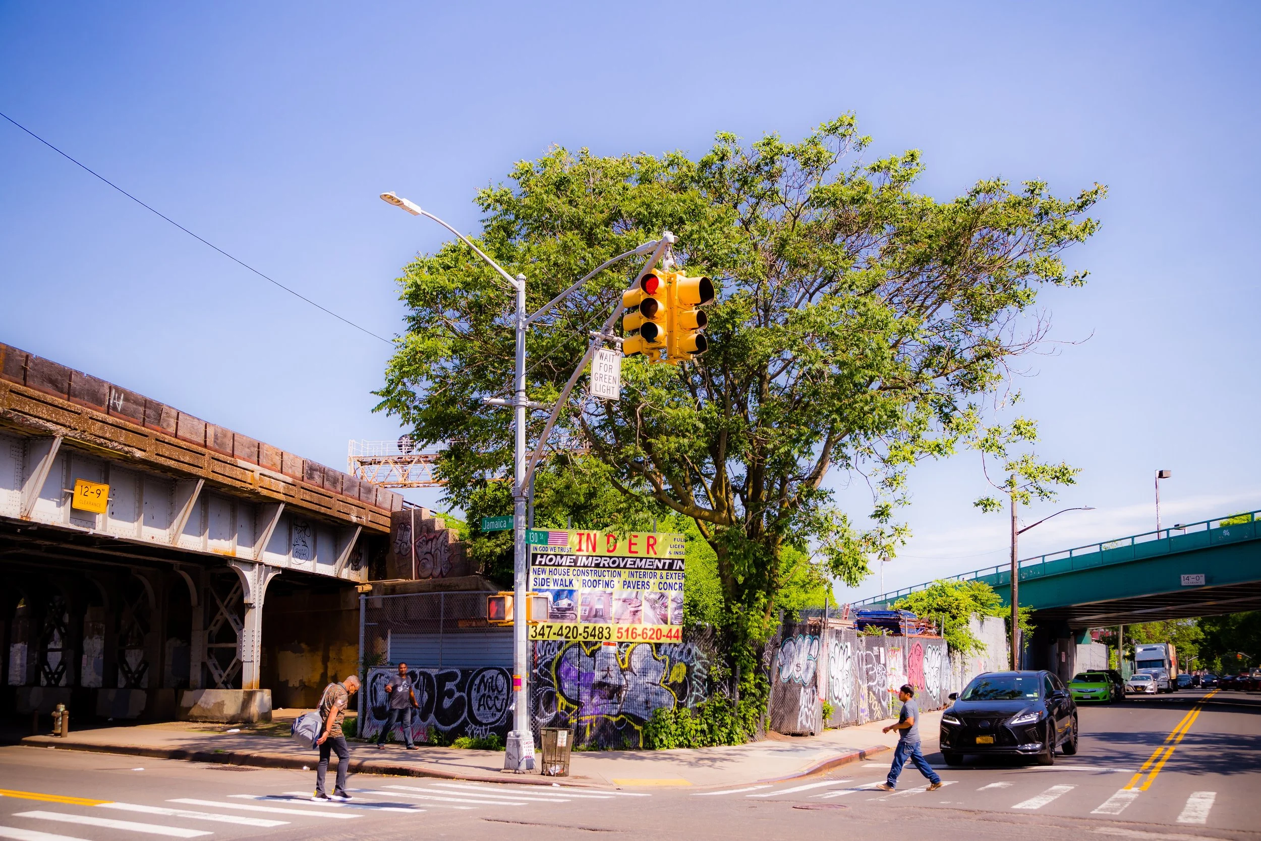
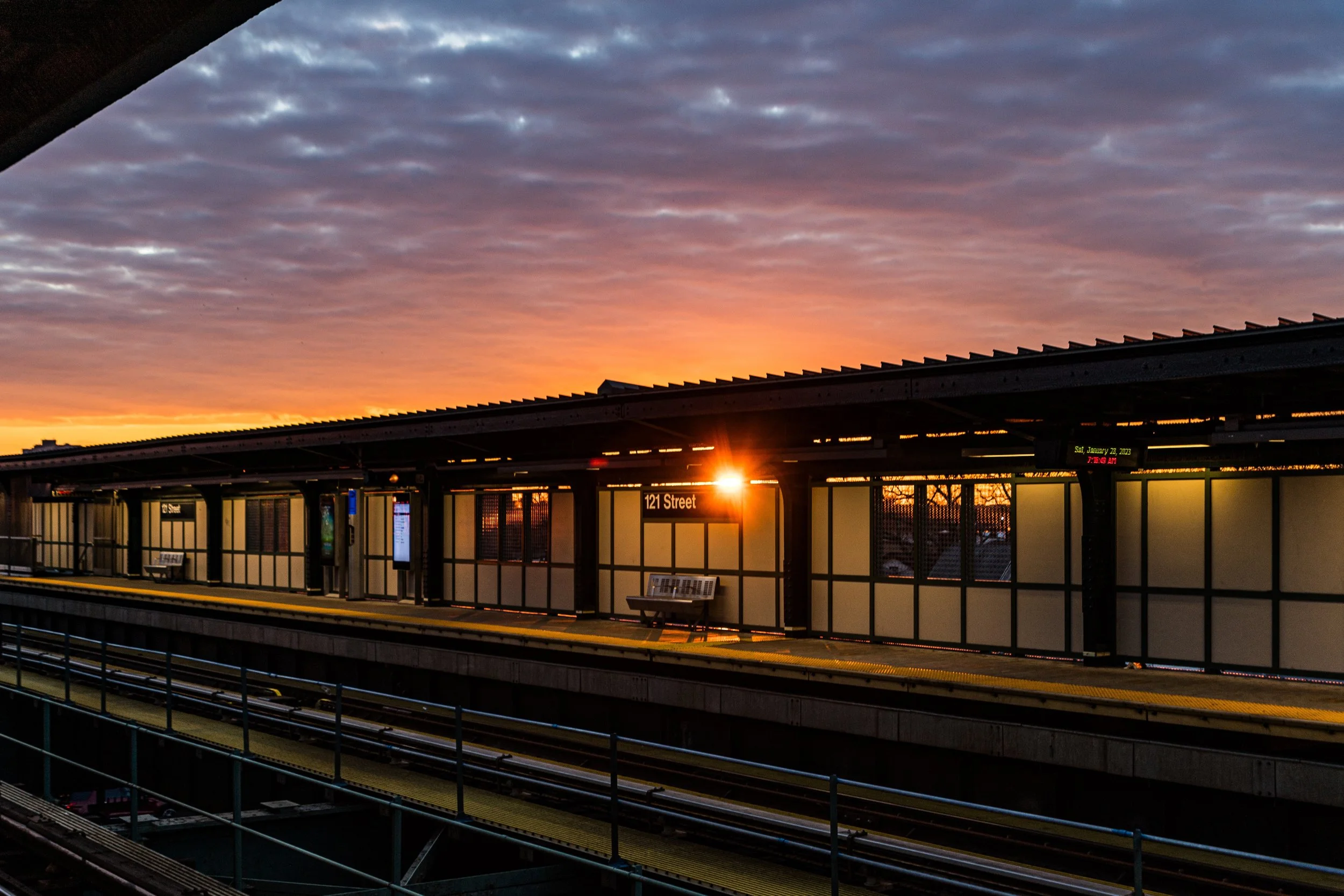
The elevated J and Z trains, running along Jamaica Avenue, provided direct connections to Brooklyn and Manhattan, while the Van Wyck Boulevard subway station (E line)—later renamed Jamaica–Van Wyck—anchored the neighborhood’s eastern boundary. The construction of the Van Wyck Expressway (1940s–1950s) reshaped the neighborhood’s landscape, creating a modern corridor that divided Richmond Hill East from Jamaica while simultaneously improving access to JFK Airport and Manhattan.
Religious and educational institutions flourished during this period. Churches such as St. Benedict Joseph Labre (1892) continued to serve the original Richmond Hill community, while newer congregations and synagogues established themselves closer to Hillside Avenue. Public School 90 and J.H.S. 8 Richard S. Grossley became fixtures of civic life, reflecting the neighborhood’s emphasis on family and education.
Through the mid-20th century, Richmond Hill East maintained a strong Italian-, Irish-, and Jewish-American presence, with close ties to nearby Ozone Park and Woodhaven. Small family-run businesses—bakeries, delis, hardware stores, and pharmacies—lined the main streets, while block associations kept the area safe and orderly.
Late 20th Century: Demographic Transformation and Cultural Renewal
By the 1970s and 1980s, Richmond Hill East—like the broader borough—experienced demographic change as long-established families moved eastward and new immigrants arrived from the Caribbean, South Asia, and Latin America. Indo-Caribbean families from Guyana and Trinidad and Tobago were among the first major new groups to settle here, followed by Bangladeshi, Punjabi, and Latin American families seeking affordable housing and access to Queens’ expanding job market.
These new residents transformed Richmond Hill East into one of the most vibrant multicultural enclaves in Queens, while maintaining its suburban architectural character. Along Jamaica Avenue and Liberty Avenue, Caribbean restaurants, sari shops, and roti bakeries began to appear beside older Italian and Jewish-owned businesses. The soundscape shifted—Chutney, Bollywood pop, reggae, and hip-hop all blended into the hum of traffic and trainlines overhead.
Despite economic fluctuations, community stability remained a defining feature. Homeownership rates stayed high, and neighborhood institutions—churches, temples, mosques, and civic organizations—continued to serve as anchors of cultural life. The Richmond Hill–South Ozone Park Lions Club, along with local civic councils, advocated for cleaner streets, safer intersections, and infrastructure upgrades along the Van Wyck corridor.
Richmond Hill East Photographic Video
21st Century: Diversity, Connectivity, and Everyday Life
In the 21st century, Richmond Hill East exemplifies Queens’ ethos of quiet multicultural coexistence. Its residential core remains dominated by detached and semi-detached houses, many now modernized but retaining their early 20th-century silhouettes—bay windows, gabled roofs, and wraparound porches. The population today is a mosaic: Indo-Caribbean, Bangladeshi, Indo-Pakistani, Latin American, and Afro-Caribbean families living side by side with older European-American residents.
Jamaica Avenue and Hillside Avenue remain the neighborhood’s commercial lifelines, featuring an eclectic mix of businesses—Hindu temples, mosques, West Indian groceries, Bangladeshi clothing stores, and pizzerias that together embody the borough’s plural identity. The nearby Van Wyck Expressway, E train, and AirTrain JFK ensure that residents remain connected to the city’s greater economic and transportation networks, while the Freight Rail Corridor—still active along the neighborhood’s northern edge—serves as a living reminder of the area’s industrial past.
Schools, parks, and community gardens provide continuity for families, while the influx of younger residents has brought new energy to civic life. Festivals such as Phagwah (Holi) and Diwali spill over from Liberty Avenue into the eastern sections of the neighborhood, filling the streets with color and celebration.
Even as development pressures rise in nearby Jamaica, Richmond Hill East continues to resist large-scale redevelopment, preserving its low-rise residential character and sense of intimacy.
Richmond Hill East Photo Gallery
Spirit and Legacy
Richmond Hill East’s spirit lies in its continuity of purpose—a neighborhood built for homeownership, family, and quiet pride that has adapted gracefully to the evolving face of Queens. From its early days as a Victorian suburb to its current role as a multicultural crossroads, it has absorbed change while maintaining its essential character: tidy streets, modest homes, and a sense of belonging that transcends background.
New York City
Use this custom Google map to explore where every neighborhood in all five boroughs of New York City is located.
The Five Boroughs
One of New York City’s unique qualities is its organization in to 5 boroughs: Manhattan, Brooklyn, Queens, The Bronx, and Staten Island. These boroughs are part pragmatic administrative districts, and part vestiges of the region’s past. Each borough is an entire county in New York State - in fact, Brooklyn is, officially, Kings County, while Staten Island is, officially Richmond County. But that’s not the whole story …
Initially, New York City was located on the southern tip of Manhattan (now the Financial District) that was once the Dutch colony of New Amsterdam. Across the East River, another city was rising: Brooklyn. In time, the city planners realized that unification between the rapidly rising cities would create commercial and industrial opportunities - through streamlined administration of the region.
So powerful was the pull of unification between New York and Brooklyn that three more counties were pulled into the unification: The Bronx, Queens, and Staten Island. And on January 1, 1898, the City of New York unified two cities and three counties into one Greater City of New York - containing the five boroughs we know today.
But because each borough developed differently and distinctly until unification, their neighborhoods likewise uniquely developed. Today, there are nearly 390 neighborhoods, each with their own histories, cultures, cuisines, and personalities - and each with residents who are fiercely proud of their corner of The Big Apple.


