
LACONIA
The Bronx
Geographic Setting
Bounded by Boston Road to the northwest, East Gun Hill Road to the north, the IRT 5 train line (the Dyre Avenue branch) to the southeast, and Williamsbridge Road to the west, Laconia occupies a distinctive residential stretch in the northeastern Bronx—an area of modest homes, tree-lined streets, and small-scale apartment houses nestled between the larger neighborhoods of Williamsbridge, Baychester, and Edenwald.
The neighborhood’s grid is defined by the convergence of its major thoroughfares: Boston Road, an ancient colonial route turned commercial artery; Gun Hill Road, a vital east–west connector; and Laconia Avenue, the street that gives the neighborhood its name, running north–south through its heart. The 5 train, running along the former New York, Westchester & Boston Railway right-of-way, borders the area to the southeast, linking it to both Manhattan and the Bronx’s inner core.
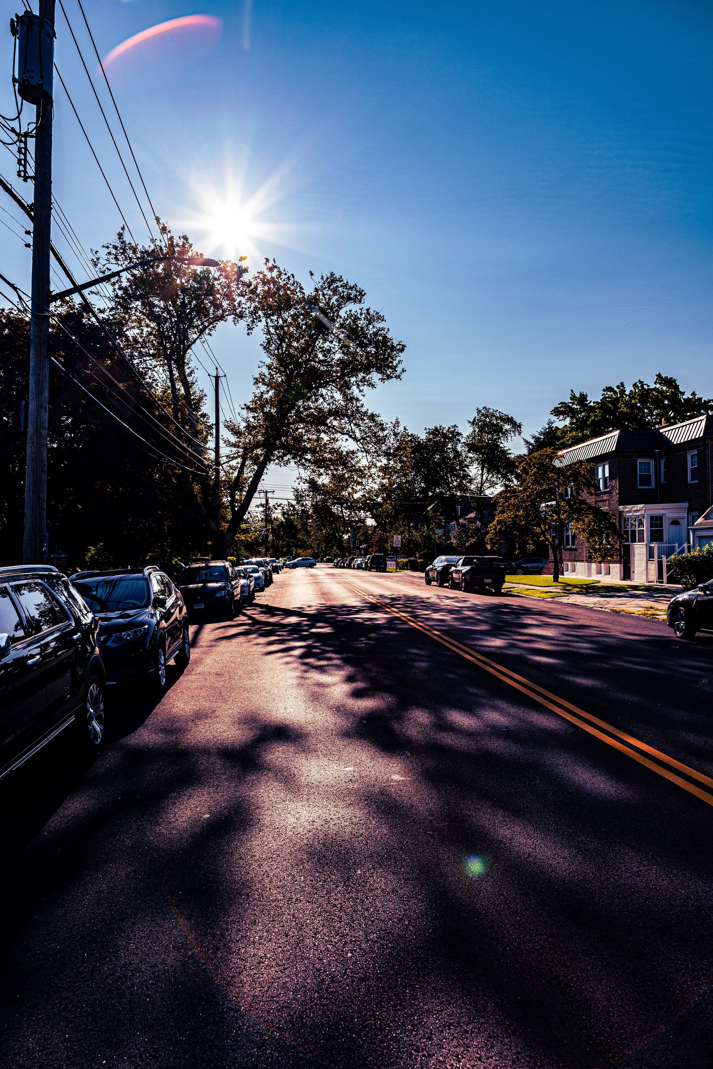
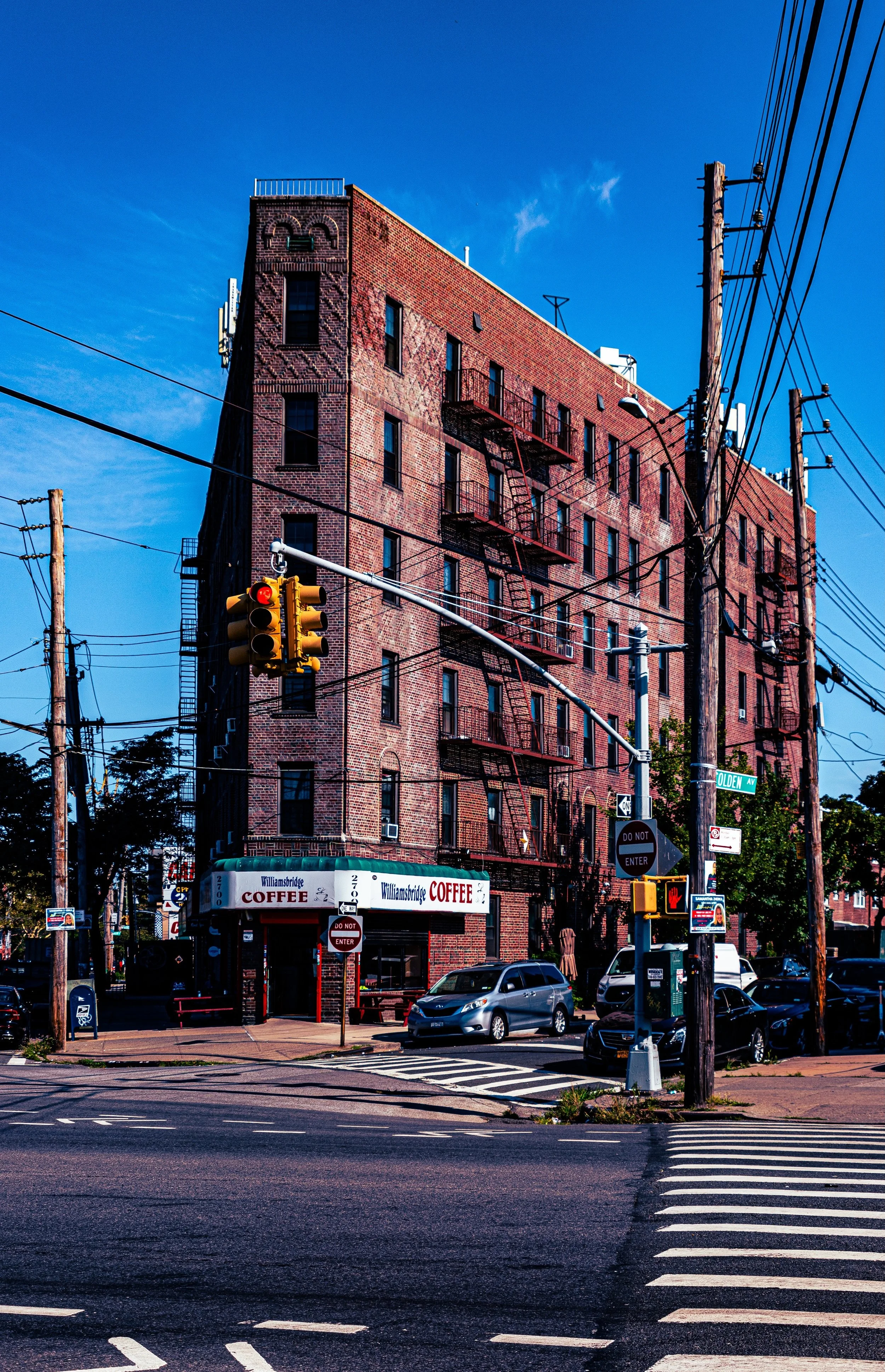
Within these boundaries, Laconia presents a landscape of detached brick homes, two- and three-family houses, and low-rise apartments, many built between the 1920s and 1950s. Side streets such as Waring Avenue, Burke Avenue, and Barnes Avenue retain a distinctly suburban calm, while the commercial pulse along Boston Road and Gun Hill Road supplies the essentials of Bronx life—grocers, barbershops, bakeries, and small eateries reflecting the neighborhood’s multicultural mix.
Etymology
The name “Laconia” first appeared on city maps and real estate advertisements in the early 20th century, most likely chosen by developers to evoke classical or pastoral refinement. The term refers to Laconia, an ancient region of Greece, home to the city-state of Sparta. The choice was not unusual for the period—Bronx real estate speculators often borrowed names from antiquity (Pelham, Throgs Neck, Corinthian) to lend dignity and allure to newly plotted suburban tracts.
In local usage, “Laconia” came to refer both to Laconia Avenue—the neighborhood’s central spine—and to the residential district that developed around it. The name thus embodies the ambitions of early 20th-century Bronx builders: to create stable, upwardly mobile communities for working families seeking fresh air, sunlight, and modern homes on the city’s expanding frontier.
The Neighborhood
Origins through the 19th Century
In the 18th and 19th centuries, the land now known as Laconia was part of the rural Town of Westchester, characterized by rolling farmland, small woodlots, and country lanes leading toward the Bronx River. The area’s principal route, Boston Road, was one of the oldest highways in the United States—an extension of the Boston Post Road, linking New York to New England since the colonial era.
Following annexation to New York City in 1895, this corner of the Bronx remained largely undeveloped for another two decades. Its transformation began with the construction of the New York, Westchester & Boston Railway (1912)—a modern electric commuter line whose right-of-way later became the IRT Dyre Avenue Line. The railway’s arrival spurred speculative subdivision: real estate firms advertised “Laconia Park” and “Gun Hill Heights” as desirable suburban enclaves, emphasizing their proximity to transit, schools, and “city conveniences with country quiet.”
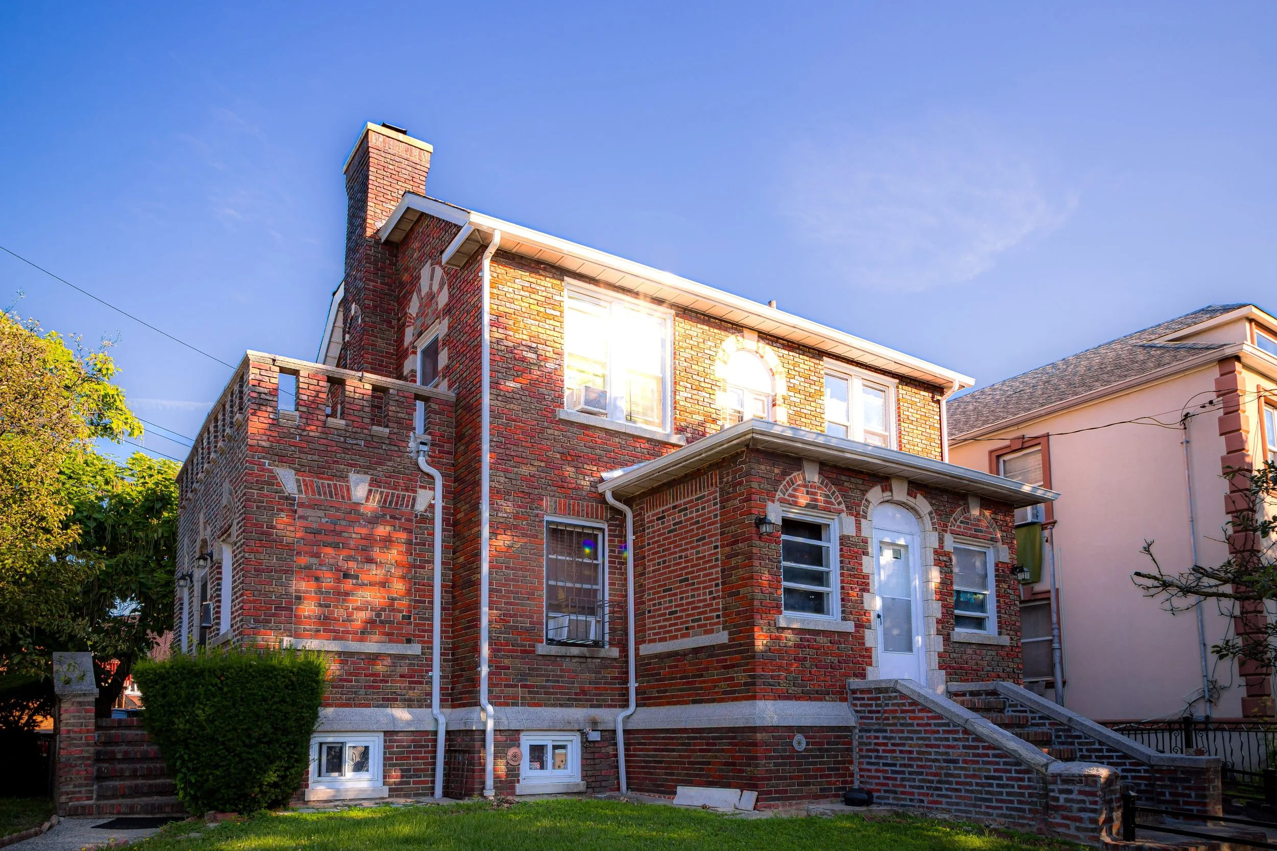
By the early 1920s, streets such as Laconia Avenue and Barnes Avenue had been fully laid out, and modest single- and two-family homes began to appear. These houses—brick or stucco, often with porches and front yards—set the architectural tone that still defines much of the neighborhood today.
Early 20th Century: A Suburban Ideal
Between 1920 and 1940, Laconia evolved into a model of Bronx middle-class aspiration. The neighborhood attracted a mix of Italian-American, Jewish, and Irish families moving north from the crowded tenements of the South Bronx and Manhattan. Builders marketed Laconia as a place of ownership and stability, where working families could buy affordable homes within reach of the city’s industrial and commercial centers.
Schools, churches, and small businesses quickly followed. Public School 41 and nearby parochial institutions anchored community life, while corner stores and bakeries along Boston Road served as social gathering points. The IRT White Plains Road Line and later the Dyre Avenue Line made commuting straightforward, while the area’s relative elevation and low density offered respite from urban congestion.
By the 1930s, Laconia’s streets were fully developed, its architectural mix—brick rowhouses, detached homes, and small apartment buildings—reflecting both its working-class origins and its early suburban sensibility.
Laconia Video Coming Soon
Mid–Late 20th Century: Transition and Tenacity
The post–World War II years brought waves of change. As veterans returned and the Bronx’s population surged, new multi-family housing developments appeared along major corridors, while the construction of the Bronx River Parkway Extension and Gun Hill Road improvements integrated Laconia more tightly into the city’s transportation network.
During the 1950s and 1960s, demographic shifts reshaped the neighborhood. Many of the earlier white ethnic residents moved to suburban Westchester and Long Island, while new African-American and Caribbean families arrived, followed by growing Puerto Rican and Dominican populations. Despite economic challenges and the Bronx-wide disinvestment of the 1970s, Laconia remained comparatively stable. Its high rates of homeownership, modest scale, and engaged civic organizations helped buffer it from the fires and abandonment that afflicted nearby districts.
Community associations such as the Laconia Civic Improvement Society worked with residents to maintain property standards, advocate for infrastructure repairs, and preserve the area’s identity. Churches like Our Lady of Grace and local block clubs fostered cohesion even as city services waned. By the 1980s and 1990s, as the Bronx began to recover, Laconia’s resilience became a model of quiet, neighborhood-level renewal.
21st Century: Cultural Mosaic and Community Continuity
In the 21st century, Laconia thrives as a vibrant, multiethnic neighborhood reflecting the broader diversity of the Bronx. Its population includes Caribbean-American, African-American, Latino, and West African families, as well as newer immigrants from South Asia and the Middle East. The area’s commercial life along Boston Road has adapted accordingly: Jamaican bakeries sit beside Dominican restaurants, West African markets near longstanding Italian delis.
Housing remains predominantly low-rise, with single-family and semi-detached homes maintaining the district’s suburban texture. The neighborhood’s proximity to Edenwald Houses and Co-op City brings access to larger commercial centers, while new educational and community facilities have bolstered local infrastructure. Public transit—via the 5 train at Gun Hill Road and the BxM11 express bus—connects residents efficiently to Manhattan.
Community pride remains strong. Civic events, street fairs, and neighborhood cleanups highlight Laconia’s continuity as a place defined not by flash or fame but by everyday care and belonging. Challenges persist—affordability, congestion, and aging infrastructure—but the spirit of self-reliance that shaped Laconia’s early homeowners still animates its present-day residents.
Laconia Photo Gallery
Spirit and Legacy
The spirit of Laconia lies in its quiet constancy. Neither as dense as the South Bronx nor as affluent as nearby Riverdale, it has endured by staying true to its founding ideal: a neighborhood built for families who work hard, invest in their homes, and take pride in their surroundings.
New York City
Use this custom Google map to explore where every neighborhood in all five boroughs of New York City is located.
The Five Boroughs
One of New York City’s unique qualities is its organization in to 5 boroughs: Manhattan, Brooklyn, Queens, The Bronx, and Staten Island. These boroughs are part pragmatic administrative districts, and part vestiges of the region’s past. Each borough is an entire county in New York State - in fact, Brooklyn is, officially, Kings County, while Staten Island is, officially Richmond County. But that’s not the whole story …
Initially, New York City was located on the southern tip of Manhattan (now the Financial District) that was once the Dutch colony of New Amsterdam. Across the East River, another city was rising: Brooklyn. In time, the city planners realized that unification between the rapidly rising cities would create commercial and industrial opportunities - through streamlined administration of the region.
So powerful was the pull of unification between New York and Brooklyn that three more counties were pulled into the unification: The Bronx, Queens, and Staten Island. And on January 1, 1898, the City of New York unified two cities and three counties into one Greater City of New York - containing the five boroughs we know today.
But because each borough developed differently and distinctly until unification, their neighborhoods likewise uniquely developed. Today, there are nearly 390 neighborhoods, each with their own histories, cultures, cuisines, and personalities - and each with residents who are fiercely proud of their corner of The Big Apple.


