FORT HAMILTON
Brooklyn
Geographic Setting
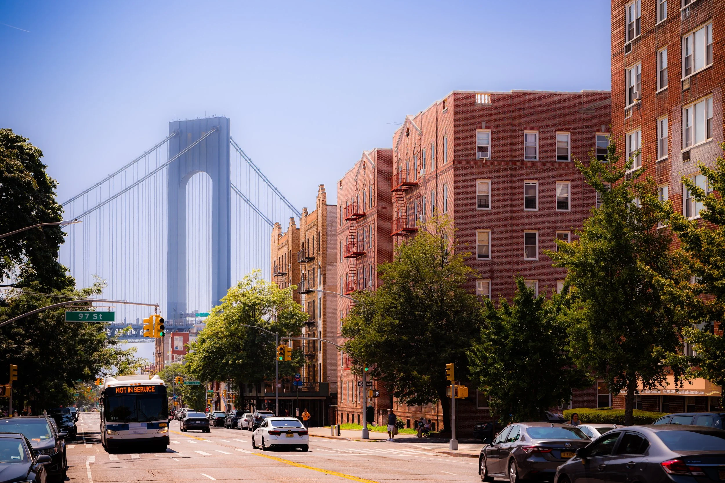
Bounded by 86th Street to the north, Dyker Beach Park to the east, and the Narrows—the tidal strait separating Brooklyn from Staten Island—to the south and west, Fort Hamilton occupies the southwestern corner of Brooklyn, a district where history, military legacy, and maritime geography converge. Set upon gently descending bluffs overlooking New York Harbor, the neighborhood commands sweeping views of the Verrazzano-Narrows Bridge, whose massive towers rise directly to the south. Though compact, Fort Hamilton embodies a remarkable layering of centuries: colonial shoreline farms, 19th-century fortifications, and the living presence of one of the U.S. Army’s last active posts within New York City.
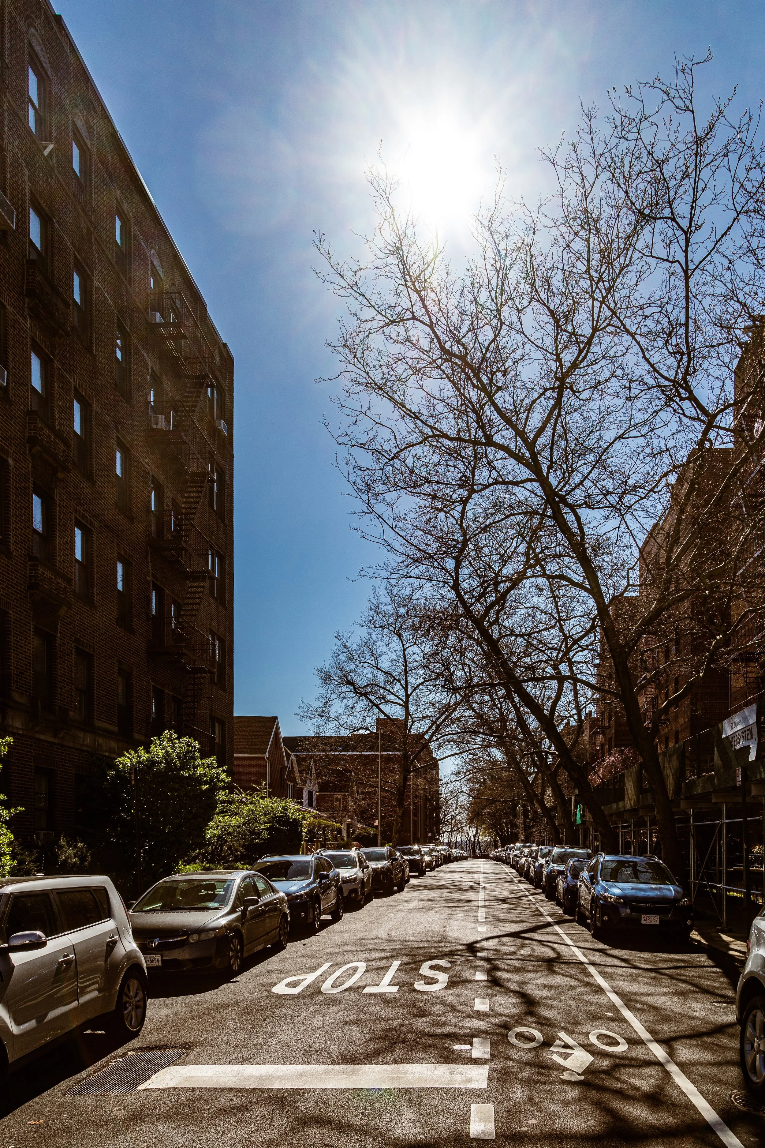
The neighborhood forms the southern anchor of Bay Ridge, though it retains a distinct identity shaped by its military origins and waterfront geography. Quiet residential blocks of brick and limestone homes extend inland from the base’s perimeter, while the fort itself occupies a green, park-like expanse adjacent to Shore Road and John Paul Jones Park. The rhythmic sound of waves against the seawall and the steady movement of harbor traffic lend Fort Hamilton a maritime calm rare in the metropolis.
Etymology and Origins
Fort Hamilton takes its name from Alexander Hamilton, Founding Father, soldier, and the first U.S. Secretary of the Treasury. The fort was established in 1825 as part of a network of coastal defenses designed to protect New York Harbor following the War of 1812. Construction began under the supervision of engineers from the U.S. Army Corps, who recognized the strategic significance of this narrow strait—the “gateway to New York.”
The land on which the fort stands was originally part of Yellow Hook, a colonial-era farming settlement named for the yellow clay soil along the harbor. Following an outbreak of yellow fever in the mid-19th century, residents renamed the larger surrounding district Bay Ridge to dissociate from the grim connotation, but the military post retained its original name.
The Neighborhood
19th Century: A Fortified Frontier
Completed in 1831, Fort Hamilton was constructed as a classic masonry bastion fort, armed with seacoast guns that guarded the Narrows in tandem with Fort Wadsworth on Staten Island. The two fortifications together formed the first line of defense for the inner harbor and Manhattan beyond. The original fort—still standing within the modern base—featured casemated stone walls, a dry moat, and an elliptical parade ground.
The surrounding area in the mid-19th century remained sparsely populated, consisting of coastal farms and summer estates. Soldiers and officers stationed at the fort were among the few permanent residents, and their presence brought a degree of order and economy to the isolated shore. The Post Chapel (1870) and Officers’ Club (1875), both in Gothic Revival style, anchored the growing installation, while the Fort Hamilton Parkway provided the first reliable link to the rest of Brooklyn.
During the Civil War, the fort served primarily as a training and garrison post, sending troops to battlefields across the Union. By the late 1800s, as advances in artillery made masonry defenses obsolete, Fort Hamilton evolved into a modernized coastal artillery installation, with earthwork batteries and new gun emplacements extending along the shore toward Dyker Beach.
Early–Mid 20th Century: Expansion and Community Life
The early 20th century brought modernization and expansion. The Army constructed Battery Piper (1898), Battery Livingston (1901), and later Battery Burke (1904) to house disappearing guns—massive weapons that could rise, fire, and then retract behind protective parapets. The installation became the Headquarters of the Harbor Defenses of New York, coordinating the coastal batteries at Fort Wadsworth, Fort Tilden, and Fort Hancock.
The presence of the fort catalyzed the growth of the adjacent civilian neighborhood, as shops, taverns, and boardinghouses appeared along Fourth Avenue and Fort Hamilton Parkway. Soldiers and their families mingled with local residents, creating a distinctive blend of military discipline and small-town warmth. The nearby Shore Road Park, completed in the 1930s, provided waterfront recreation and connected Fort Hamilton with the developing Belt Parkway.
During World War II, Fort Hamilton bustled with activity as a mobilization and embarkation center for troops heading overseas. Anti-aircraft batteries and radar stations were installed, and the fort’s mission expanded to include administrative and logistical support. After the war, the surrounding community continued to grow, its tidy brick rowhouses and apartment buildings occupied by veterans and working-class families.
Fort Hamilton Video Coming Soon
Late 20th Century: Transition and Preservation
By the 1950s and 1960s, changes in military technology—particularly missile defense and air power—rendered traditional coastal artillery obsolete. Portions of the fort’s outer defenses were demolished to make way for the approaches to the Verrazzano-Narrows Bridge, which opened in 1964, dramatically reshaping the shoreline. Yet the Army maintained the core installation, reorienting its mission toward administrative, ceremonial, and recruitment functions.
Throughout these decades, Fort Hamilton remained a vital symbol of continuity amid urban transformation. It hosted ceremonial salutes, served as the headquarters for the U.S. Army Recruiting Command for the Northeast, and provided housing for active-duty personnel. Civic cooperation between the Army and the surrounding community deepened, with local festivals, parades, and memorial events held annually in John Paul Jones Park, where a towering cannon monument honors the Battle of Brooklyn and the nation’s early defenders.
By the 1970s–1980s, local preservation efforts helped safeguard the fort’s historic core. The Harbor Defense Museum, established within the old caponier and casemates, opened to the public in 1980, showcasing centuries of New York’s military history and preserving the masonry ramparts and guns of the original 19th-century fort.
21st Century: Living History at the City’s Edge
Today, Fort Hamilton remains the only active U.S. Army installation in New York City, a compact but functioning base with a population of roughly 500 military personnel and civilians. Within its walls are offices for the U.S. Army Garrison Fort Hamilton, family housing, and the historic Chapel of St. Michael the Archangel. The fort’s lawns, parade grounds, and museum welcome visitors, blending active duty with public history.
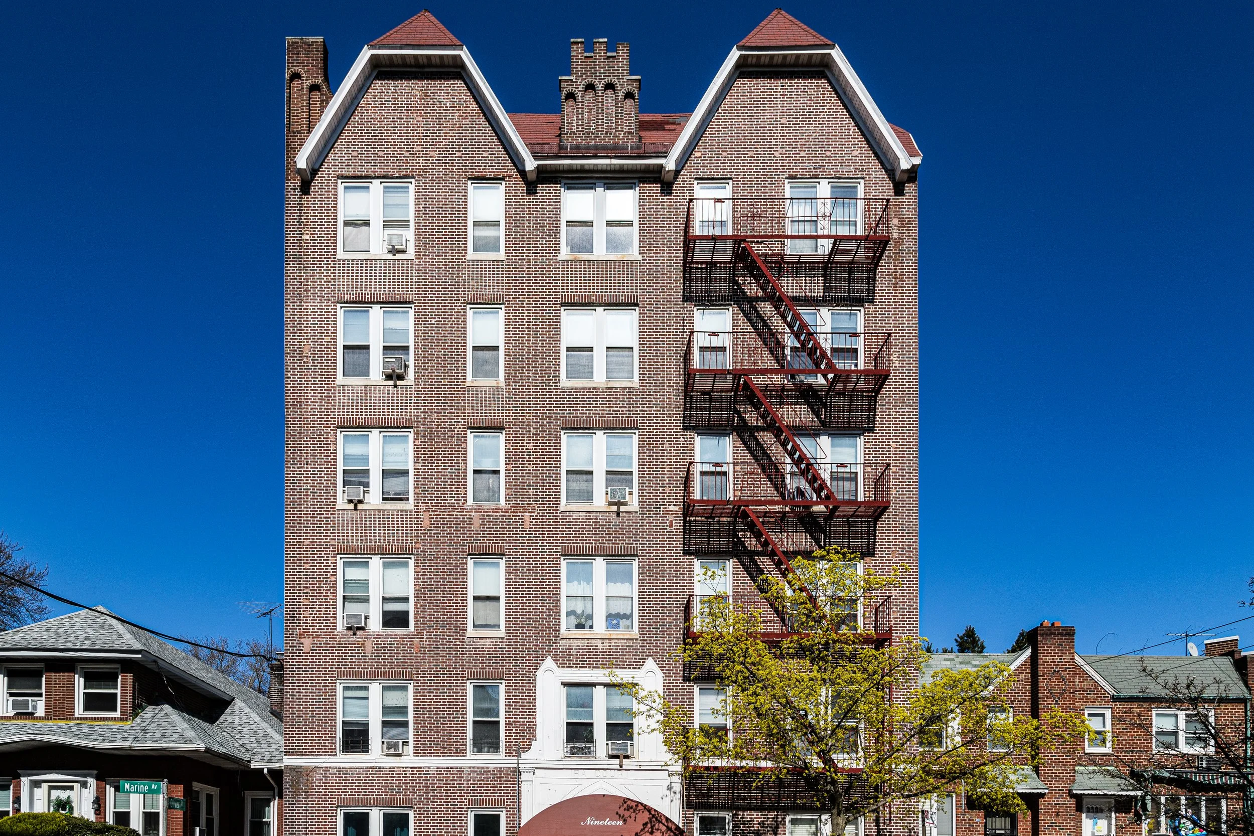
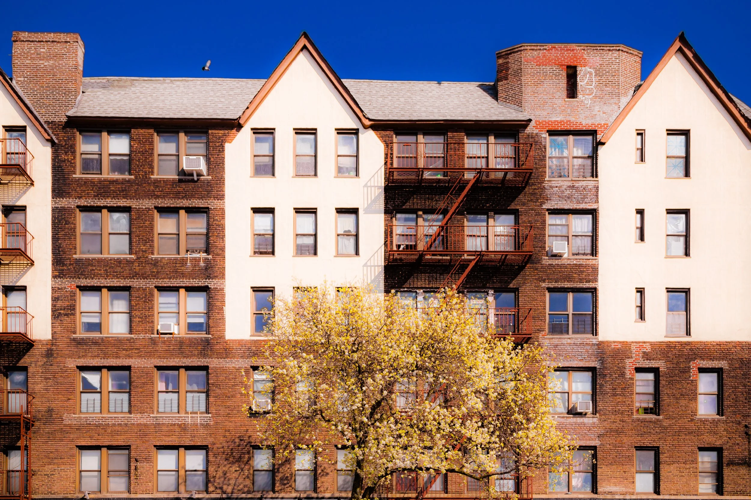
Surrounding the installation, the Fort Hamilton neighborhood has matured into one of Brooklyn’s most tranquil enclaves. Its streets—92nd through 101st Streets, Narrows Avenue, and Marine Avenue—are lined with prewar apartment buildings and single-family homes shaded by elms and oaks. The harbor-facing Shore Road Park offers walking paths, playing fields, and views across the Narrows to Staten Island, while the rhythmic toll of the Verrazzano Bridge defines the soundscape.
The area’s demographics reflect broader Brooklyn patterns: Irish, Italian, Greek, and Arab-American families joined by newer arrivals from China, Russia, and the Caribbean. Despite the city’s constant change, Fort Hamilton retains a distinctive rhythm—part military precision, part seaside calm.
Fort Hamilton Photo Gallery
Spirit and Legacy
Fort Hamilton’s legacy is one of defense, endurance, and connection—between land and sea, past and present. For nearly two centuries, it has guarded the city’s maritime gateway, adapting to every era’s demands while preserving its historic dignity. The sight of its brick ramparts against the harbor, framed by the soaring span of the Verrazzano Bridge, tells a story of America’s evolution from coastal republic to global city.
New York City
Use this custom Google map to explore where every neighborhood in all five boroughs of New York City is located.
The Five Boroughs
One of New York City’s unique qualities is its organization in to 5 boroughs: Manhattan, Brooklyn, Queens, The Bronx, and Staten Island. These boroughs are part pragmatic administrative districts, and part vestiges of the region’s past. Each borough is an entire county in New York State - in fact, Brooklyn is, officially, Kings County, while Staten Island is, officially Richmond County. But that’s not the whole story …
Initially, New York City was located on the southern tip of Manhattan (now the Financial District) that was once the Dutch colony of New Amsterdam. Across the East River, another city was rising: Brooklyn. In time, the city planners realized that unification between the rapidly rising cities would create commercial and industrial opportunities - through streamlined administration of the region.
So powerful was the pull of unification between New York and Brooklyn that three more counties were pulled into the unification: The Bronx, Queens, and Staten Island. And on January 1, 1898, the City of New York unified two cities and three counties into one Greater City of New York - containing the five boroughs we know today.
But because each borough developed differently and distinctly until unification, their neighborhoods likewise uniquely developed. Today, there are nearly 390 neighborhoods, each with their own histories, cultures, cuisines, and personalities - and each with residents who are fiercely proud of their corner of The Big Apple.


