
DYKER BEACH PARK
Brooklyn
Geographic Setting
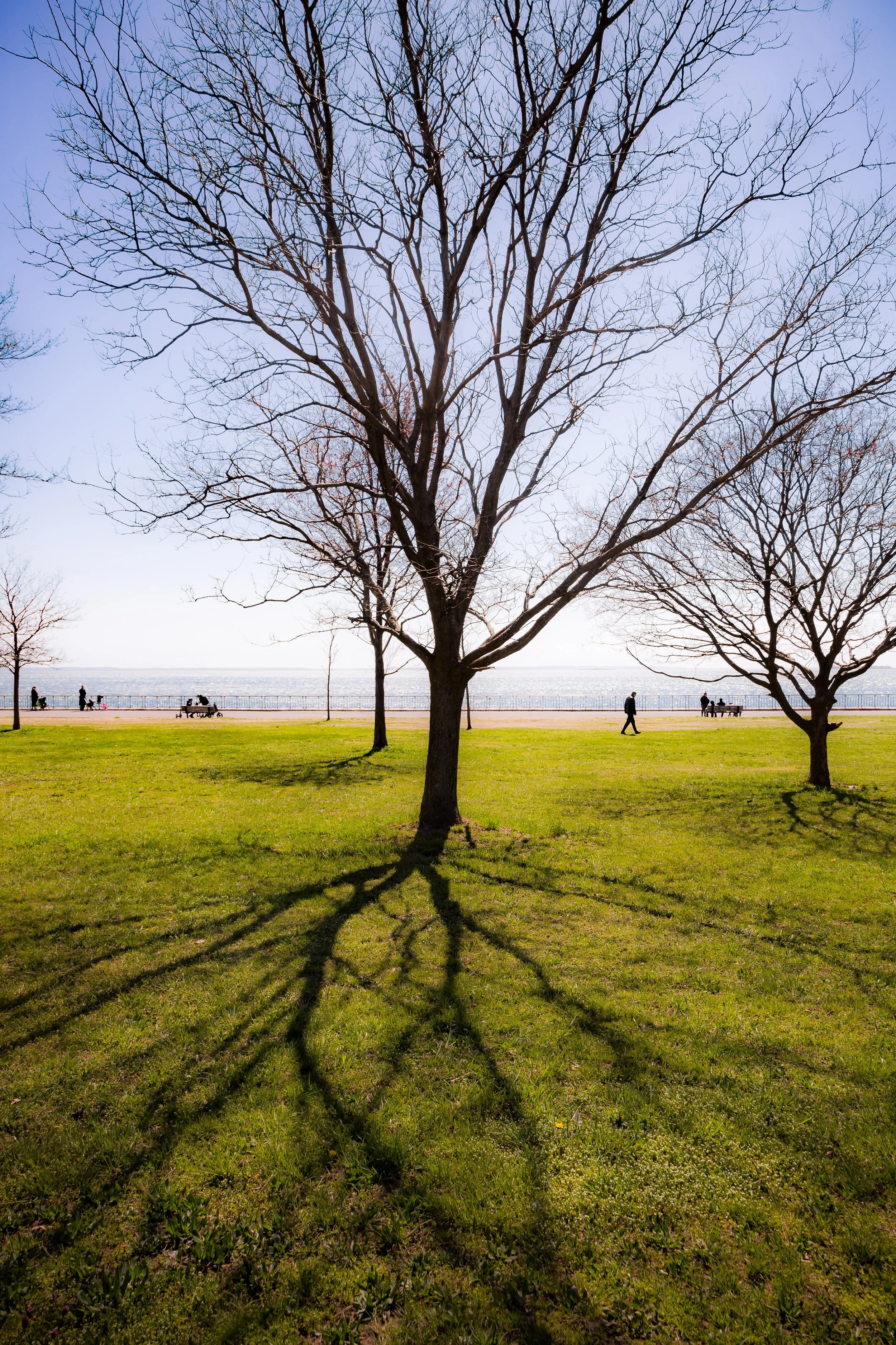
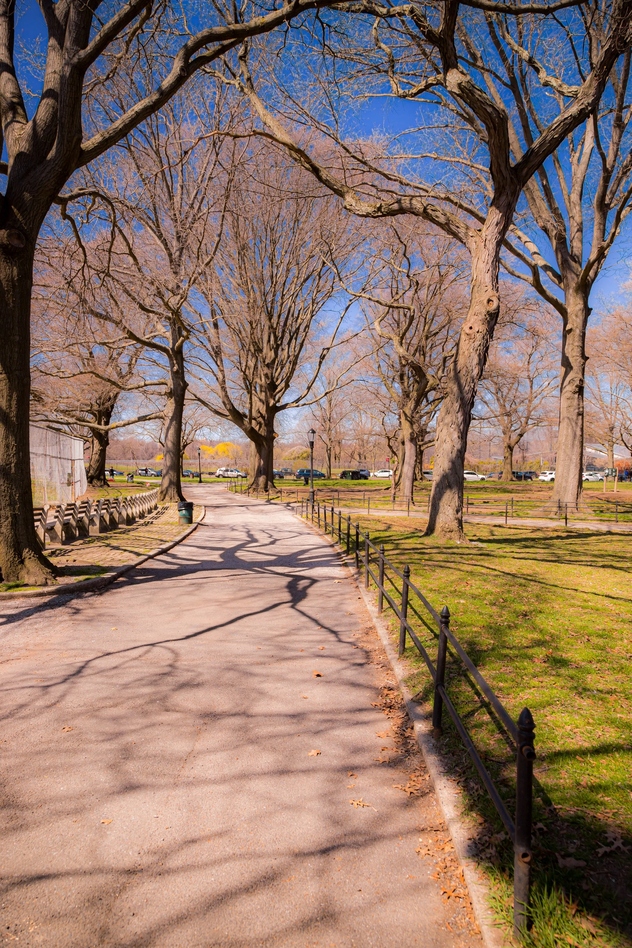
Stretching across Brooklyn’s southwestern shoreline, Dyker Beach Park lies between the neighborhoods of Dyker Heights to the north and Bay Ridge to the west, with Bensonhurst just beyond its eastern edge. The park is bounded roughly by 86th Street to the north, Poly Place and the Shore Parkway to the south, 7th Avenue to the east, and 14th Avenue to the west. Covering more than 200 acres—including its famed golf course—it is one of southern Brooklyn’s great open landscapes, a rare expanse of greenery and sea air in a densely built borough. To locals, Dyker Beach Park is both playground and landmark: a place where neighborhood life, sport, and history converge under the open sky.
Etymology and Origins
The park’s name derives from the same early Dutch term that gave Dyker Heights its identity. “Dyker” likely comes from the word dijker—meaning “dike builder” or “ditch digger”—referring to the settlers who constructed drainage dikes in the 1600s to reclaim marshland along the Narrows. The land that now forms Dyker Beach Park once lay at the edge of those coastal meadows, a mixture of sandy bluffs, tidal inlets, and farm fields that sloped gently down toward the bay.
In the 17th and 18th centuries, this area formed part of the Town of New Utrecht, a Dutch agricultural community whose farms stretched to the water’s edge. For centuries, the site remained rural—open land used for grazing cattle, planting crops, and, later, as a seaside retreat for Brooklyn’s growing population.
The Neighborhood
19th Century: The Birth of a Park
The idea for a public park at Dyker Beach dates to the late 19th century, an era when Brooklyn’s civic leaders sought to complement Prospect Park with a network of neighborhood parks across the borough. In 1895, developer Walter Loveridge Johnson, the visionary behind the suburban community of Dyker Heights, began promoting the idea of a seaside green space that would preserve the area’s natural beauty while increasing the appeal of his residential developments nearby.
The city purchased land for Dyker Beach Park in 1897, incorporating it into the expanding municipal park system. The park’s early design combined recreational fields with preserved dunes and meadows, providing both organized and pastoral spaces. Its original shoreline—before the construction of the Belt Parkway—included a sandy beach, where residents could stroll and wade in the waters of the Lower New York Bay.
Early 20th Century: The Golf Course Era
By the early 1900s, the park had already begun to acquire its distinctive character. In 1897, the city leased part of the grounds to the Dyker Meadow Golf Club, making it one of the first public golf courses in the United States. The course quickly became a beloved institution, drawing players from across the city. Expanded and redesigned several times, it remains to this day Brooklyn’s largest and most historic golf course—a rare combination of sporting heritage and municipal accessibility.
During this period, Dyker Beach Park also served as a social and recreational hub for the surrounding neighborhoods. Baseball diamonds, tennis courts, and walking paths attracted families on weekends, while the park’s gentle coastal breezes offered respite from the city’s heat. Nearby, elegant homes along 11th and 12th Avenues looked out over the park’s greens, forming a genteel landscape of suburban refinement within the city.
Dyker Beach Park Video Coming Soon
Mid-20th Century: Transformation and the Parkway
The 1930s brought dramatic change with the construction of the Belt Parkway (originally the Shore Parkway), one of Robert Moses’s signature projects. The new highway cut off the park from its original shoreline, reshaping the land but also preserving it from industrial encroachment. The beach disappeared, but the park gained new ball fields, picnic areas, and improved landscaping under Moses’s vast park expansion program.
After World War II, Dyker Beach Park became a centerpiece of Brooklyn’s middle-class life. Veterans’ families, many of whom settled in Dyker Heights and Bay Ridge, used the park for recreation and community events. Generations of children learned to play baseball and soccer on its fields, while the Dyker Beach Golf Course Clubhouse, a 1930s Tudor-style structure, hosted countless weddings, dances, and neighborhood gatherings.
Late 20th to 21st Century: Restoration and Renewal
By the late 20th century, Dyker Beach Park—like much of Brooklyn—faced periods of neglect. Yet its community refused to let it fade. Local advocacy groups and the New York City Department of Parks & Recreation undertook a series of restorations beginning in the 1990s. The golf course was refurbished with new fairways, irrigation, and a restored clubhouse. Playgrounds and sports fields were rebuilt, and new landscaping reintroduced native trees and shrubs.
Today, the park is a vibrant, multi-use space where golfers share the grounds with joggers, dog walkers, and children at play. Its open fields host summer concerts, cultural festivals, and school sports, while its quiet paths provide refuge for birdwatchers and strollers alike. The nearby Dyker Heights neighborhood’s famed Christmas Lights displays spill toward the park’s edges each winter, bathing the trees in a seasonal glow that merges civic festivity with landscape beauty.
Dyker Beach Park Photo Gallery
Architecture and Atmosphere
Dyker Beach Park’s most iconic structure, the clubhouse, reflects early-20th-century park architecture’s blend of civic elegance and rustic charm. Its brick and half-timbered design harmonizes with the park’s rolling lawns and mature oaks. The surrounding landscape remains one of Brooklyn’s most bucolic—broad, open vistas framed by groves of trees and the subtle hum of the parkway beyond. The sound of distant traffic mingles with the thwack of golf clubs and the laughter of children, creating a uniquely urban serenity.
Spirit and Legacy
Dyker Beach Park endures as a living commons for the people of southern Brooklyn—a place where history, sport, and daily life intersect. It embodies the civic foresight of the 19th century and the democratic recreation ethic of the 20th, offering beauty without exclusivity.
New York City
Use this custom Google map to explore where every neighborhood in all five boroughs of New York City is located.
The Five Boroughs
One of New York City’s unique qualities is its organization in to 5 boroughs: Manhattan, Brooklyn, Queens, The Bronx, and Staten Island. These boroughs are part pragmatic administrative districts, and part vestiges of the region’s past. Each borough is an entire county in New York State - in fact, Brooklyn is, officially, Kings County, while Staten Island is, officially Richmond County. But that’s not the whole story …
Initially, New York City was located on the southern tip of Manhattan (now the Financial District) that was once the Dutch colony of New Amsterdam. Across the East River, another city was rising: Brooklyn. In time, the city planners realized that unification between the rapidly rising cities would create commercial and industrial opportunities - through streamlined administration of the region.
So powerful was the pull of unification between New York and Brooklyn that three more counties were pulled into the unification: The Bronx, Queens, and Staten Island. And on January 1, 1898, the City of New York unified two cities and three counties into one Greater City of New York - containing the five boroughs we know today.
But because each borough developed differently and distinctly until unification, their neighborhoods likewise uniquely developed. Today, there are nearly 390 neighborhoods, each with their own histories, cultures, cuisines, and personalities - and each with residents who are fiercely proud of their corner of The Big Apple.


