
WILLIAMSBURG
Brooklyn
Geographic Setting
In the heart of Brooklyn’s northwestern waterfront lies Williamsburg, a vast and many-textured district whose core — Central Williamsburg — stretches inland from Union Avenue to Bushwick Avenue and Woodpoint Road. This middle section forms the connective tissue between the creative west and the industrial east: a dense, evolving neighborhood where 19th-century tenements meet repurposed factories, and where murals, steeples, and subway entrances define an ever-changing skyline. Bound roughly by Grand Street to the south and Metropolitan Avenue to the north, Central Williamsburg is both crossroads and crucible — the place where the neighborhood’s immigrant past and cultural present most visibly converge.
Etymology and Origins
The name Williamsburg honors Colonel Jonathan Williams, a military engineer and grandnephew of Benjamin Franklin, who in 1802 surveyed the shoreline east of the East River Ferry. Williams envisioned a gridded village that would rival Manhattan in design and commerce. The “Burg,” incorporated in 1827 and annexed by Brooklyn in 1855, grew from a modest ferry landing into a thriving urban center driven by industry, immigration, and faith.
Before colonization, this stretch of land was part of the Canarsee Lenape territory, crossed by streams and salt meadows that emptied into the East River. Dutch settlers farmed the area in the 17th century, calling it Boswyck — “little woods.” By the early 19th century, those farmlands were subdivided into city blocks, their fields giving way to streets named for English and Dutch notables — Bedford, Graham, Lorimer, and Humboldt.
The Neighborhood
19th Century: From River Village to Industrial Borough
By the mid-19th century, Williamsburg had become one of America’s most productive industrial centers. Breweries, sugar refineries, glassworks, and shipyards lined the riverfront, while workers filled the inland streets that form today’s Central Williamsburg. The arrival of the Williamsburgh Savings Bank (1848), Pfizer Chemical Works (1849), and Brooklyn Flint Glass Company (later Corning Glass Works) confirmed the area’s prosperity.
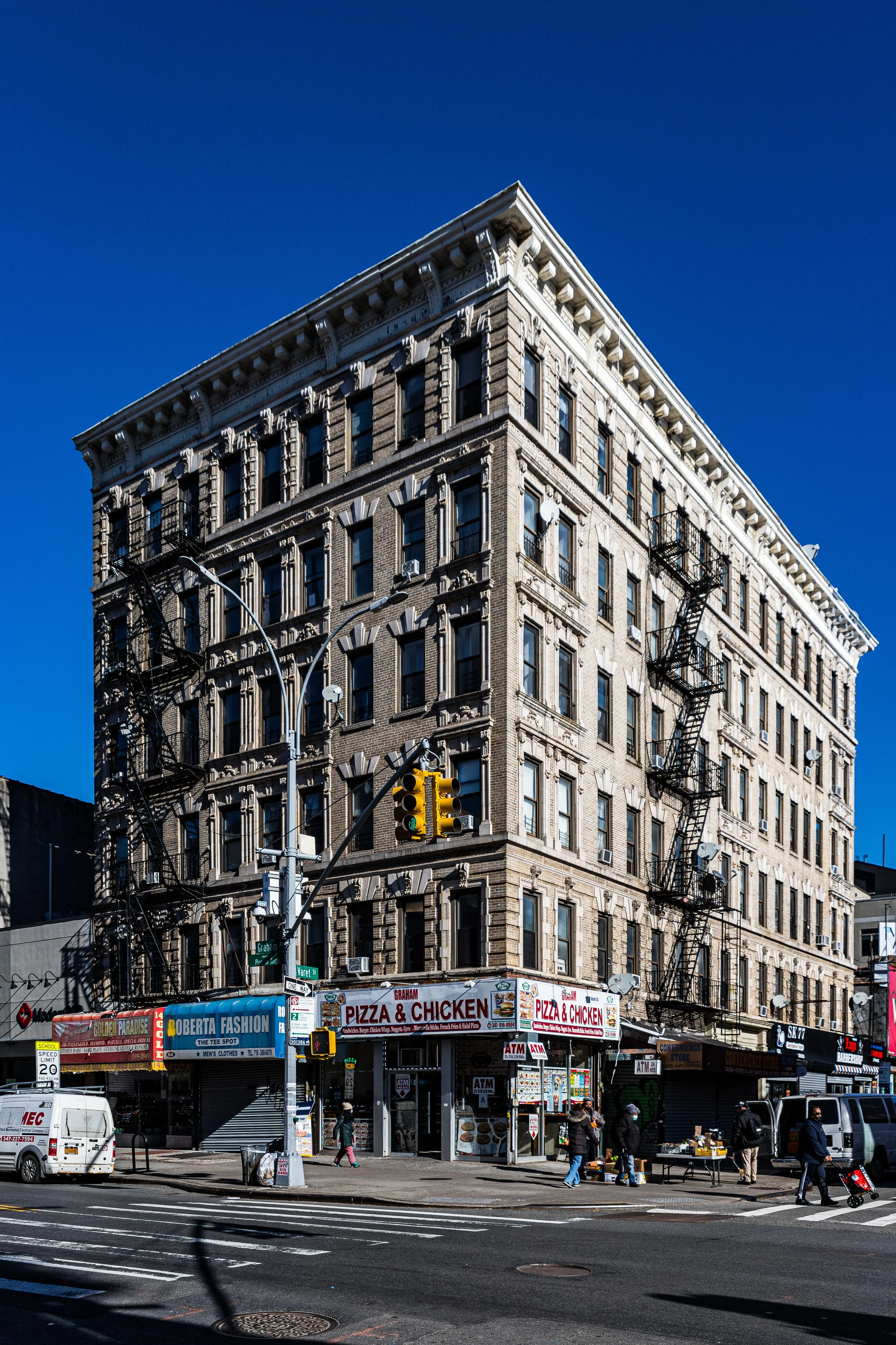
Immigrants from Germany, Poland, Italy, and Austria-Hungary transformed these blocks into vibrant enclaves of rowhouses and tenements. The German influence was particularly strong; the district around Graham Avenue, known as the “Duitsche Broadway,” became lined with beer halls, bakeries, and social clubs. Brick churches such as Most Holy Trinity–St. Mary’s (founded 1841) and St. Cecilia’s (1871) rose as civic anchors, their Gothic and Romanesque spires still defining the skyline above the low-rise grid.
Architecturally, the late 1800s produced an enduring streetscape: rows of brick and brownstone tenements, neo-Grec cornices, and cast-iron storefronts built for craftsmen and merchants. Small factories and workshops filled the side streets — furniture makers, metalworkers, tailors — creating an intensely local economy.
Early 20th Century: The Urban Village
By the early 1900s, Central Williamsburg was a city within a city. Its avenues thrived with markets, theaters, and labor halls. The opening of the Williamsburg Bridge in 1903 linked it directly to Manhattan’s Lower East Side, accelerating the arrival of Jewish immigrants seeking better housing. Yiddish signage joined German and Italian; kosher bakeries stood beside beer gardens and pasta shops.
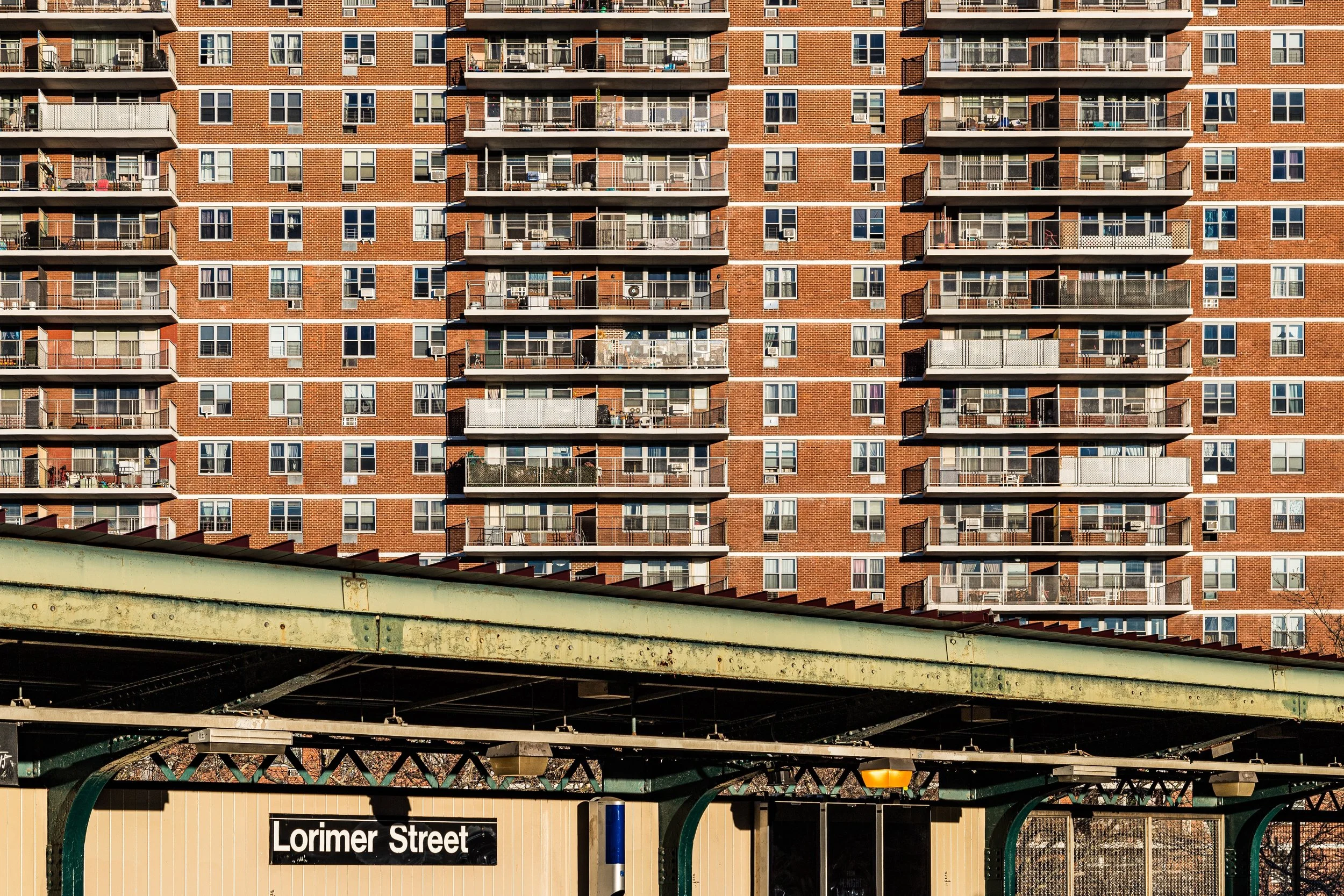
Between Union Avenue and Bushwick Avenue, the grid became a patchwork of cultures. Each block bore its own landmarks — synagogues on Hooper Street, convents on Montrose Avenue, and corner groceries selling both challah and cannoli. The elevated trains along Broadway and Metropolitan carried workers to jobs across the boroughs, while the L line, completed in 1924, tunneled beneath the neighborhood, knitting it ever more tightly to the rest of the city.
Through the 1920s and 1930s, Central Williamsburg’s population remained overwhelmingly working class but self-sustaining. The legacy of mutual-aid societies, churches, and cooperative savings institutions anchored the community even through the Depression.
Mid-20th Century: Hardship and Resilience
After World War II, the neighborhood underwent profound demographic and economic shifts. As industries relocated or closed, unemployment rose, and many white ethnic families moved outward to Queens, Staten Island, and Long Island. Into the vacancies came new arrivals — Puerto Rican and later Dominican families — whose culture reshaped the rhythm of everyday life.
By the 1960s, Williamsburg’s inland core faced the same challenges as much of urban America: redlining, underinvestment, and the scars of expressway construction. Yet community institutions endured. Churches like Most Holy Trinity remained active; bodegas and botánicas replaced beer halls but continued the tradition of local commerce. Despite hardship, a powerful sense of neighborhood identity persisted — part tenacity, part faith.
Williamsburg Video Coming Soon
Late 20th Century: Art, Activism, and Renewal
The 1980s and 1990s brought the seeds of transformation. As manufacturing declined, artists and musicians began moving into the area’s inexpensive lofts and former factories, drawn by space and proximity to Manhattan. Central Williamsburg — especially the blocks around Grand Street, Metropolitan Avenue, and Lorimer Street — became an incubator of creativity. Murals blossomed on warehouse walls; informal galleries and performance spaces appeared in basements and converted garages.
Community activism also flourished. Latino organizations fought for tenant rights and environmental justice, while neighborhood associations worked to restore historic housing. The Domino Sugar Refinery’s closure in 2004 marked the end of an era but also the beginning of a cultural reawakening that would redefine the entire district.
21st Century: Between Past and Progress
In the 21st century, Central Williamsburg has become the hinge between two worlds: the hyper-gentrified waterfront and the still deeply rooted working-class interior. Its population is now one of Brooklyn’s most diverse, encompassing Latino, Hasidic, Polish, Italian, and young creative communities.
New developments have risen along Union, Metropolitan, and Grand, yet the essential urban grain remains. Walk a few blocks inland and you find 19th-century rowhouses with original stoops, narrow sidewalks shaded by plane trees, and century-old storefronts reborn as cafés and boutiques. On summer evenings, the air still carries music — bachata, indie rock, and the rhythmic pulse of a neighborhood perpetually alive.
Civic groups and preservationists have advocated for balanced growth. The East Williamsburg Valley Industrial Development Corporation and Los Sures continue to protect affordable housing, while local historians document the German and Jewish roots that gave the district its early shape.
Williamsburg Photo Gallery
Architecture and Atmosphere
Architecturally, Central Williamsburg remains one of Brooklyn’s most cohesive 19th-century neighborhoods. Neo-Grec, Italianate, and Romanesque Revival façades line its side streets, their brickwork softened by time. Warehouses on Ten Eyck, Frost, and Stagg Streets reveal handsome arched windows and pressed-metal cornices. The interiors, once industrial, now house studios, microbreweries, and workshops that carry forward the artisanal spirit of the past.
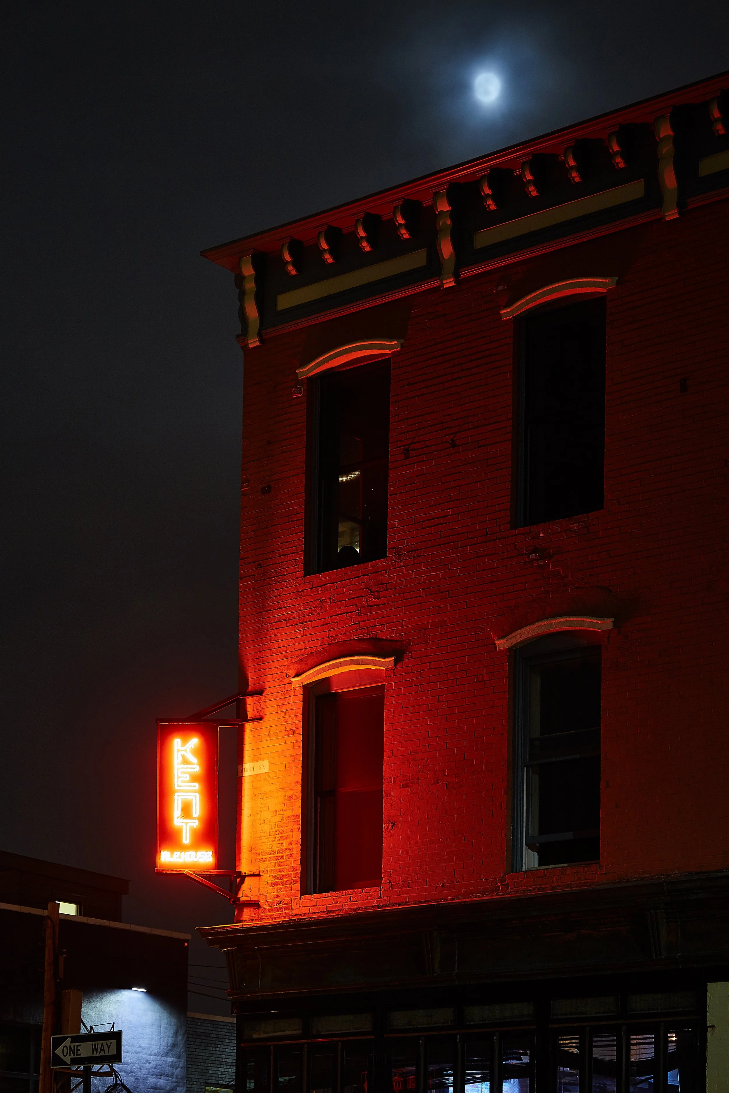
The atmosphere is dynamic yet grounded. Morning brings the clang of delivery trucks and the smell of coffee roasting; afternoons shimmer with sunlight on brick; evenings fill with laughter spilling from corner bars. It is a place where history and reinvention cohabit easily — where the cobblestones beneath your feet remember the hands that built them.
Spirit and Legacy
Central Williamsburg’s legacy lies in its continuity — not in preservation as stasis, but as living memory. Its narrow streets still bear the traces of 19th-century industry, 20th-century immigration, and 21st-century creativity. It is neither the polished waterfront nor the vanished factory belt, but the connective heart that binds both.
New York City
Use this custom Google map to explore where every neighborhood in all five boroughs of New York City is located.
The Five Boroughs
One of New York City’s unique qualities is its organization in to 5 boroughs: Manhattan, Brooklyn, Queens, The Bronx, and Staten Island. These boroughs are part pragmatic administrative districts, and part vestiges of the region’s past. Each borough is an entire county in New York State - in fact, Brooklyn is, officially, Kings County, while Staten Island is, officially Richmond County. But that’s not the whole story …
Initially, New York City was located on the southern tip of Manhattan (now the Financial District) that was once the Dutch colony of New Amsterdam. Across the East River, another city was rising: Brooklyn. In time, the city planners realized that unification between the rapidly rising cities would create commercial and industrial opportunities - through streamlined administration of the region.
So powerful was the pull of unification between New York and Brooklyn that three more counties were pulled into the unification: The Bronx, Queens, and Staten Island. And on January 1, 1898, the City of New York unified two cities and three counties into one Greater City of New York - containing the five boroughs we know today.
But because each borough developed differently and distinctly until unification, their neighborhoods likewise uniquely developed. Today, there are nearly 390 neighborhoods, each with their own histories, cultures, cuisines, and personalities - and each with residents who are fiercely proud of their corner of The Big Apple.


