CAMBRIA HEIGHTS
Queens
Geographic Setting
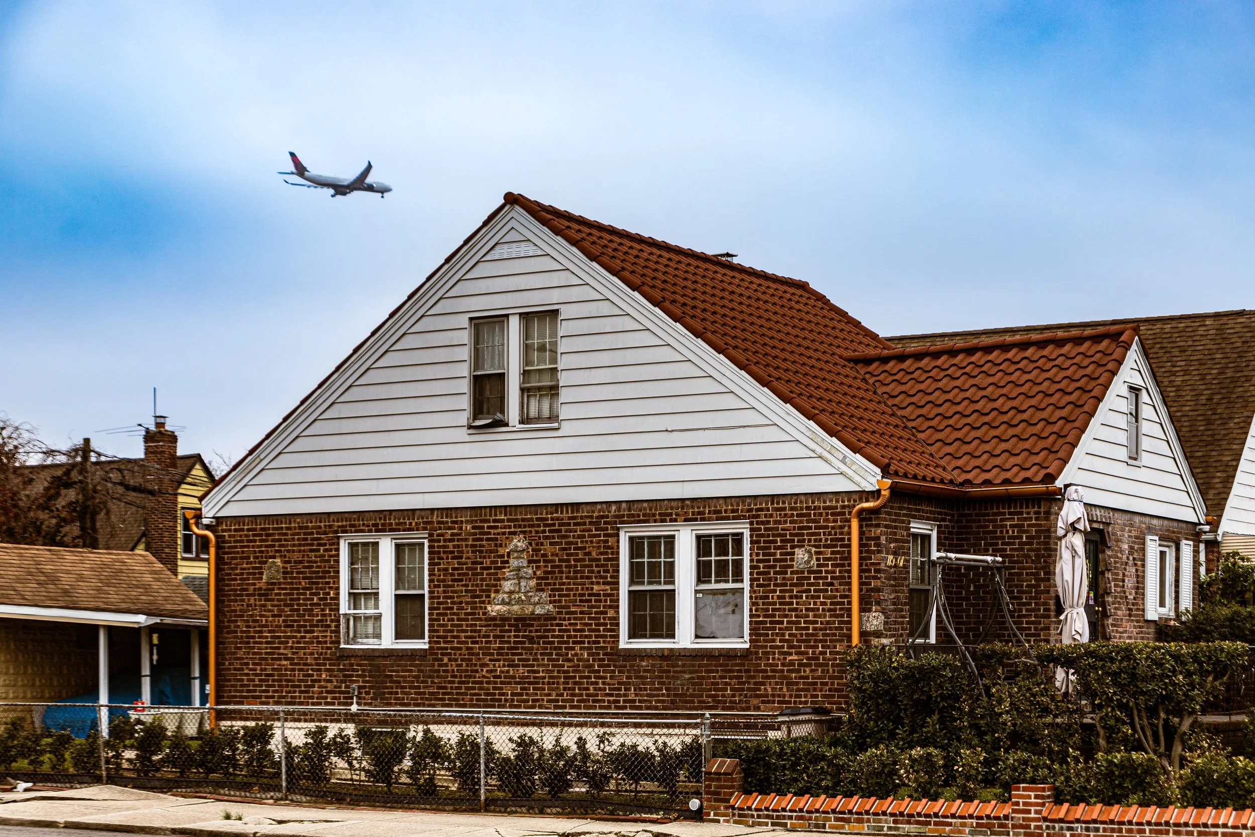
Bounded by the Cross Island Parkway to the east, 121st Avenue to the south, Springfield Boulevard to the west, and 115th Avenue and 144th Avenue to the north, Cambria Heights lies along the southeastern edge of Queens—a peaceful, predominantly residential neighborhood defined by its tree-lined streets, well-kept lawns, and strong sense of community. Perched slightly above sea level on gently rolling ground, the neighborhood forms a green buffer between the denser urbanity of St. Albans to the west and the parkway-and-garden expanse of Laurelton and Rosedale to the east.
The layout of Cambria Heights reflects its 20th-century suburban planning origins: broad, curving avenues intersecting with a grid of quiet side streets lined with single-family detached homes. Francis Lewis Boulevard serves as the community’s central commercial spine, lined with shops, restaurants, and churches, while Linden Boulevard and Springfield Boulevard connect it to the rest of the borough. The Cross Island Parkway and nearby Belt Parkway make the area easily accessible, while Laurelton LIRR Station provides rail access for commuters. Despite its proximity to major thoroughfares, the neighborhood retains a tranquil rhythm—defined more by the sound of wind through maples and neighborhood conversation than by city traffic.
Etymology and Origins
The name “Cambria Heights” was first applied in the 1920s, when developers marketed the area’s elevated ground and pastoral scenery to prospective homeowners. “Cambria” is the Latinized name for Wales, likely chosen to evoke a sense of verdant hills and suburban beauty—an echo of the early-20th-century trend of using Anglo-European place names to lend refinement to new developments.
Before its subdivision, this part of Queens was largely farmland and meadow, part of the old Town of Jamaica established by English settlers in the 1600s. The land was crisscrossed by creeks feeding into Springfield Lake and Hook Creek, and by the 19th century it was worked by small farmers and dairy producers. Its open fields and gentle elevation made it ideal for residential development once Queens was consolidated into New York City in 1898 and new infrastructure began to extend eastward.
The Neighborhood
Early 20th Century: Suburban Beginnings
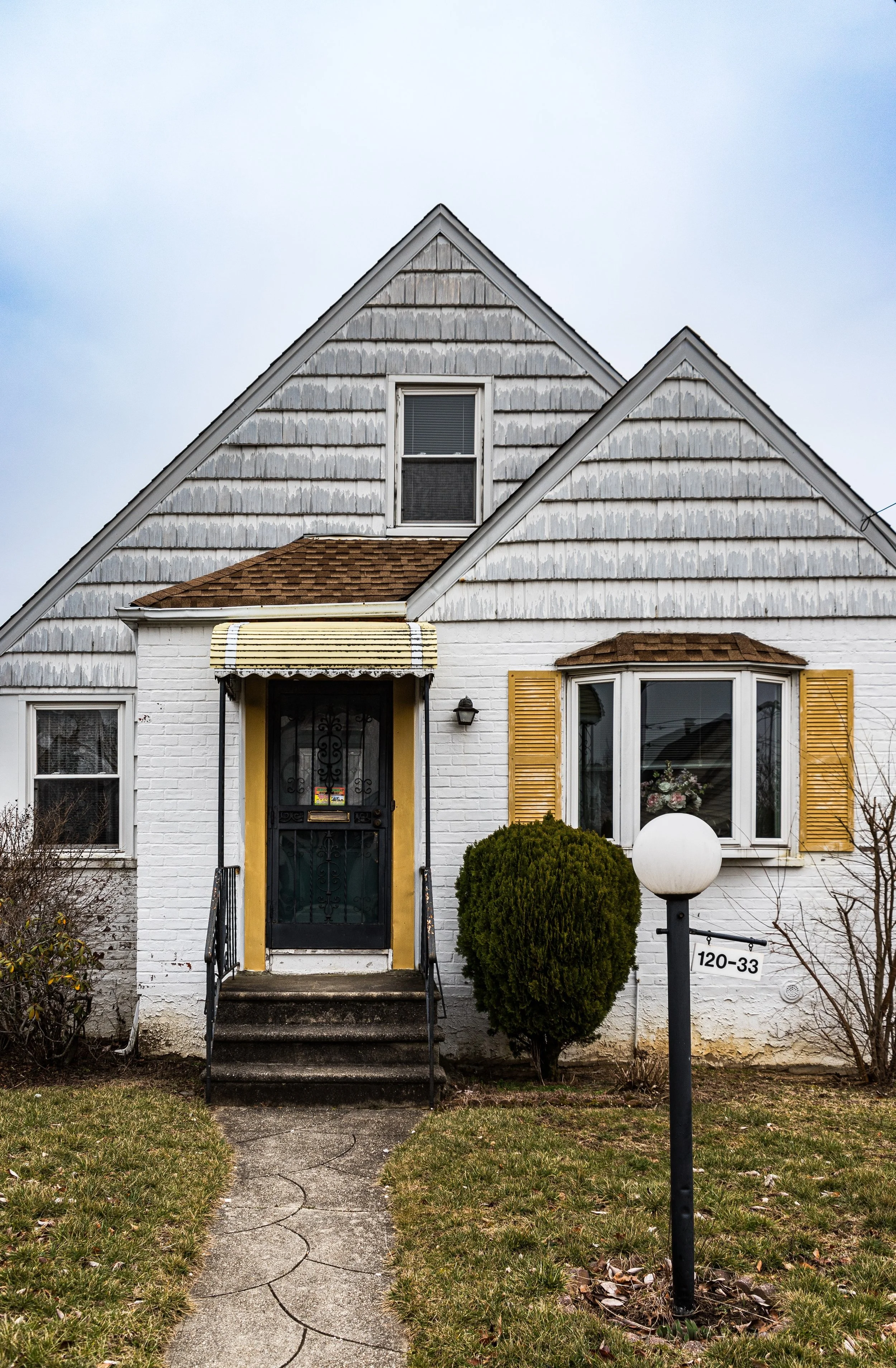
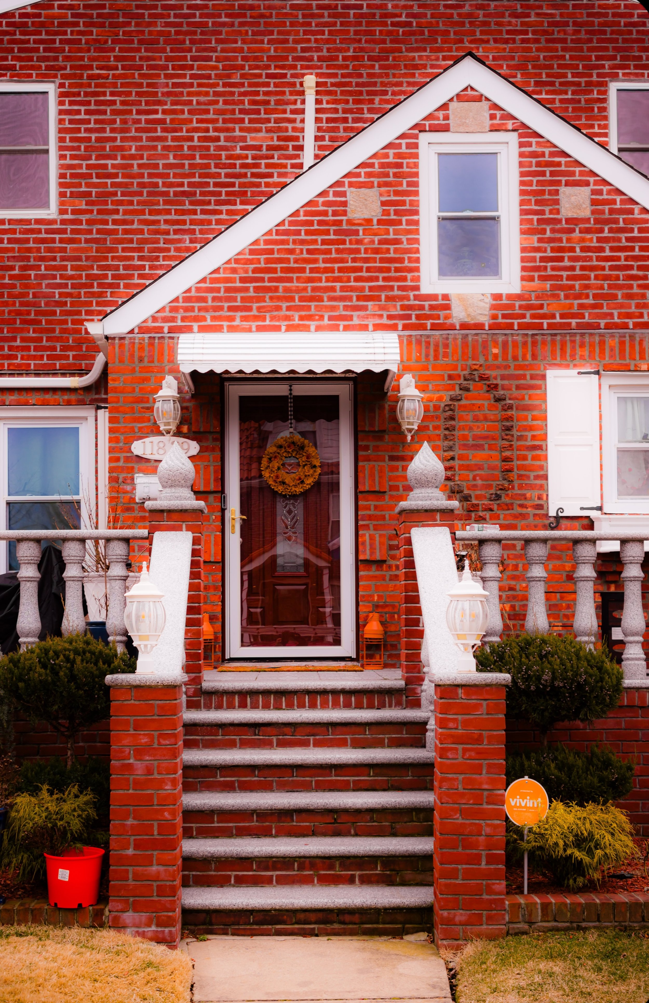
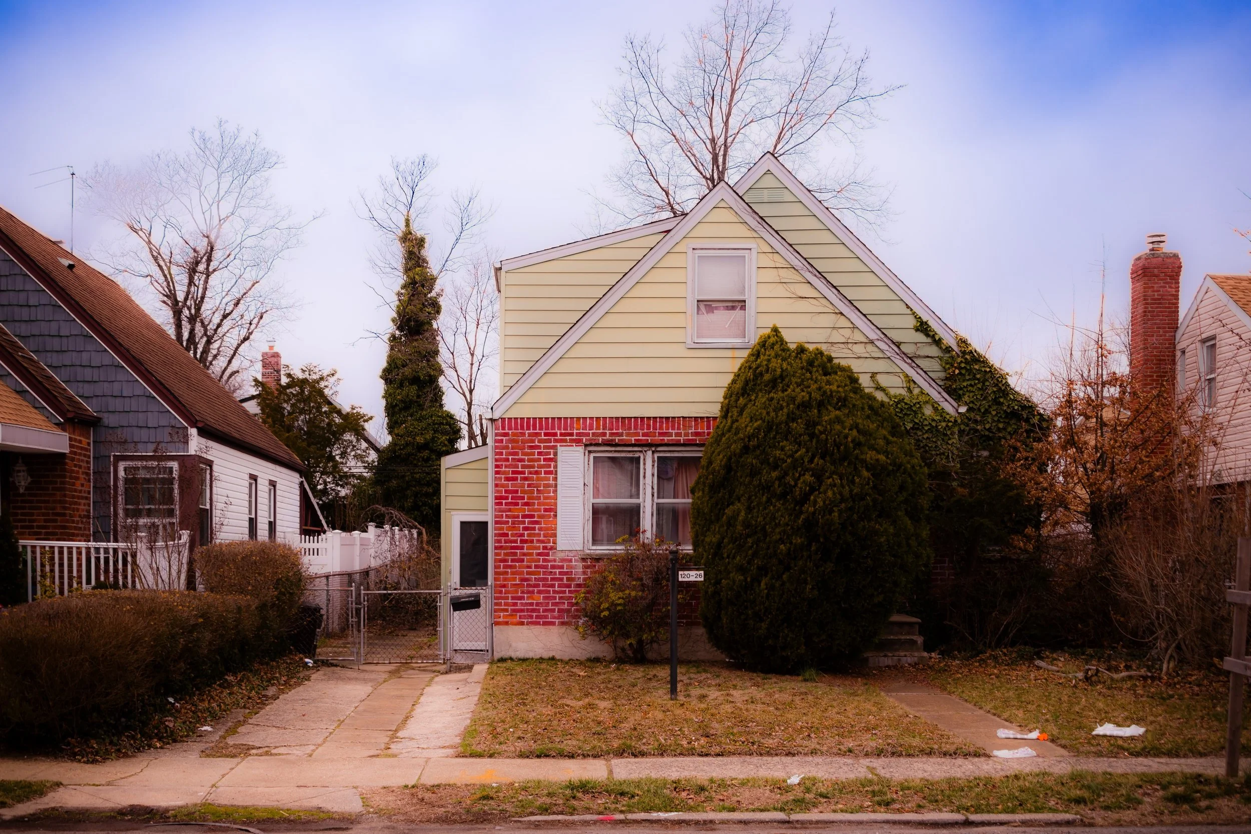
The transformation of Cambria Heights began after World War I, when advances in transportation and the extension of sewer, water, and road systems brought suburban possibilities within reach of the middle class. Developers began promoting “The Heights” as a modern residential alternative to denser city neighborhoods, advertising “fresh air, fine schools, and detached homes within reach of Manhattan.” The first streets were graded in the 1920s and early 1930s, with frame and brick houses in Tudor, Colonial, and Cape Cod styles becoming the dominant forms of architecture.
The neighborhood’s design reflected the ideals of the “garden suburb” movement: tree-lined streets, front yards, and uniform setbacks that created both visual harmony and a sense of openness. By the mid-1930s, schools and small commercial corridors had been established, including P.S. 176, which remains a local institution.
Mid-20th Century: Community Formation and Transition
In the 1940s and 1950s, Cambria Heights reached its full development, transitioning from farmland to a mature suburban community. The postwar housing boom brought waves of new homeowners—initially white working- and middle-class families, many of them civil servants, teachers, and returning veterans. Churches became central pillars of neighborhood life, among them Sacred Heart Roman Catholic Church, Cambria Heights Community Church, and Grace United Methodist Church, which hosted civic meetings, social gatherings, and youth programs that defined the area’s communal spirit.
By the 1950s and 1960s, demographic change was underway, as African-American and Caribbean-American families—often professionals and homeowners displaced by urban renewal projects elsewhere—began purchasing homes in Cambria Heights. They were drawn by the same qualities that had appealed to earlier residents: tranquility, homeownership, and access to good schools. Despite challenges common to many changing neighborhoods in mid-century New York, Cambria Heights remained stable and cohesive. Residents founded civic associations to maintain property standards, improve infrastructure, and ensure fair city services.
Cambria Heights Photographic Video
Late 20th Century: A Thriving African-American Suburb
By the 1970s, Cambria Heights had become one of the most prominent predominantly African-American middle-class neighborhoods in New York City. It was home to educators, clergy, public employees, and small-business owners who helped establish a culture of achievement and civic pride. The neighborhood’s churches—especially St. Albans Congregational Church and the many storefront ministries along Linden Boulevard—played key roles in local life, serving as cultural and political gathering points.
Homes remained meticulously maintained, and lawns manicured—a visible testament to the community’s investment in place and family legacy. Annual block parties, neighborhood watches, and civic events reinforced a shared sense of identity that distinguished Cambria Heights as one of southeastern Queens’ most stable enclaves. The Cambria Heights Civic Association became instrumental in preserving the area’s single-family zoning and resisting overdevelopment pressures from nearby commercial corridors.
21st Century: Stability, Faith, and Renewal
In the 2000s and 2010s, Cambria Heights continued to thrive as a symbol of African-American suburban success and multigenerational continuity. Many families are now second- or third-generation homeowners, their children and grandchildren returning to raise families in the same houses their elders purchased decades ago. The neighborhood’s architectural character—brick Colonials, capes, and split-levels with tidy lawns and porches—remains largely intact, a visual reflection of enduring care.
Recent decades have seen renewed diversity, with growing numbers of Caribbean, West African, Latino, and South Asian residents contributing to the neighborhood’s cultural vibrancy. Churches remain the heartbeat of the community, numbering over two dozen across its modest footprint, and Sunday mornings still fill the air with gospel and hymns. The civic association continues to advocate for traffic calming, park improvements, and flood mitigation in coordination with city agencies.
Despite its proximity to major expressways, Cambria Heights maintains the feel of a small town within the metropolis—a place of quiet strength, where neighbors know one another and history feels present in every block.
Cambria Heights Photo Gallery
Spirit and Legacy
Cambria Heights’ legacy is one of resilience, stewardship, and belonging. Born of early 20th-century suburban optimism, it became a cornerstone of African-American middle-class life in New York—a community defined not by transience, but by permanence and pride.
New York City
Use this custom Google map to explore where every neighborhood in all five boroughs of New York City is located.
The Five Boroughs
One of New York City’s unique qualities is its organization in to 5 boroughs: Manhattan, Brooklyn, Queens, The Bronx, and Staten Island. These boroughs are part pragmatic administrative districts, and part vestiges of the region’s past. Each borough is an entire county in New York State - in fact, Brooklyn is, officially, Kings County, while Staten Island is, officially Richmond County. But that’s not the whole story …
Initially, New York City was located on the southern tip of Manhattan (now the Financial District) that was once the Dutch colony of New Amsterdam. Across the East River, another city was rising: Brooklyn. In time, the city planners realized that unification between the rapidly rising cities would create commercial and industrial opportunities - through streamlined administration of the region.
So powerful was the pull of unification between New York and Brooklyn that three more counties were pulled into the unification: The Bronx, Queens, and Staten Island. And on January 1, 1898, the City of New York unified two cities and three counties into one Greater City of New York - containing the five boroughs we know today.
But because each borough developed differently and distinctly until unification, their neighborhoods likewise uniquely developed. Today, there are nearly 390 neighborhoods, each with their own histories, cultures, cuisines, and personalities - and each with residents who are fiercely proud of their corner of The Big Apple.


