DITMARS STEINWAY
Queens
Geographic Setting
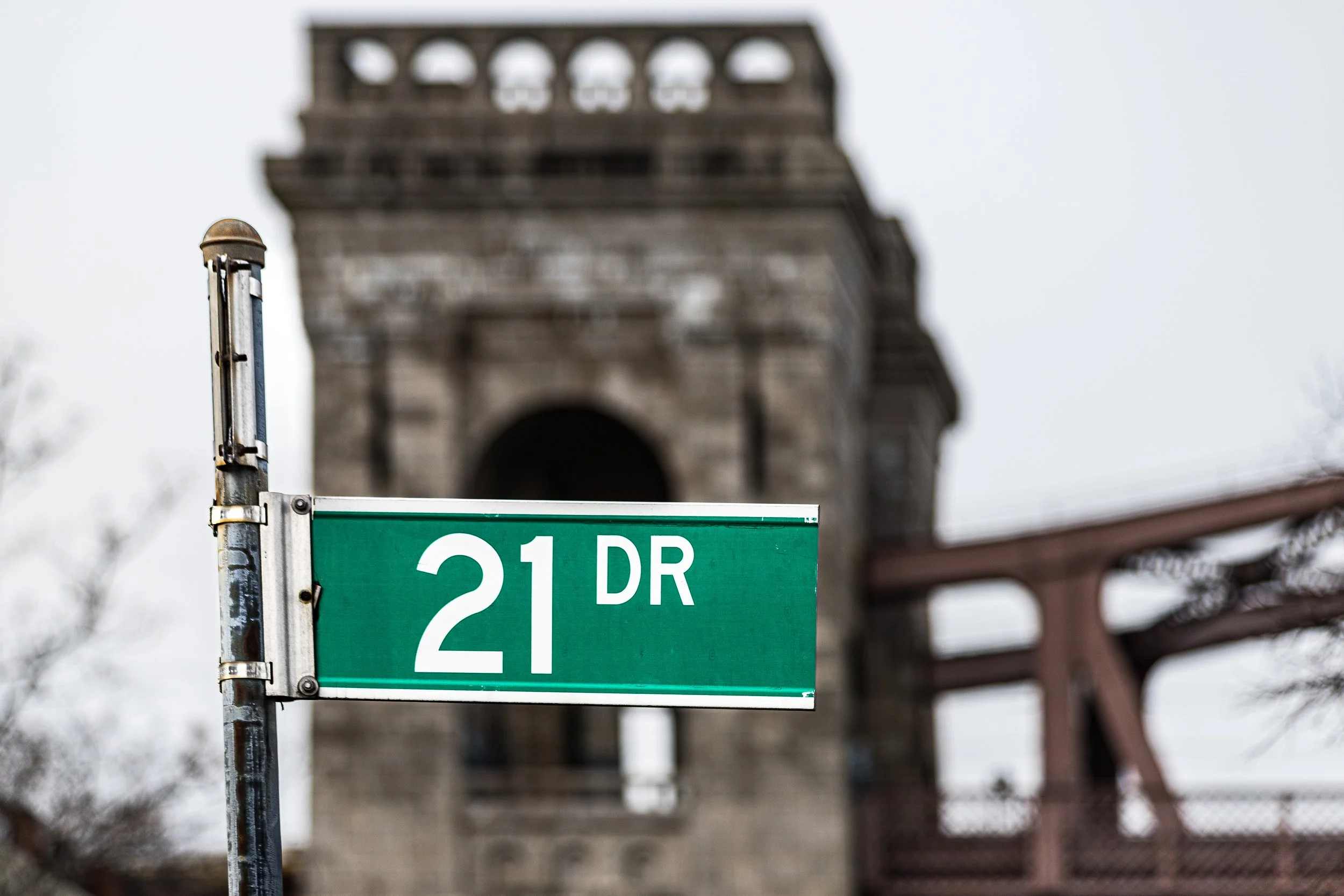
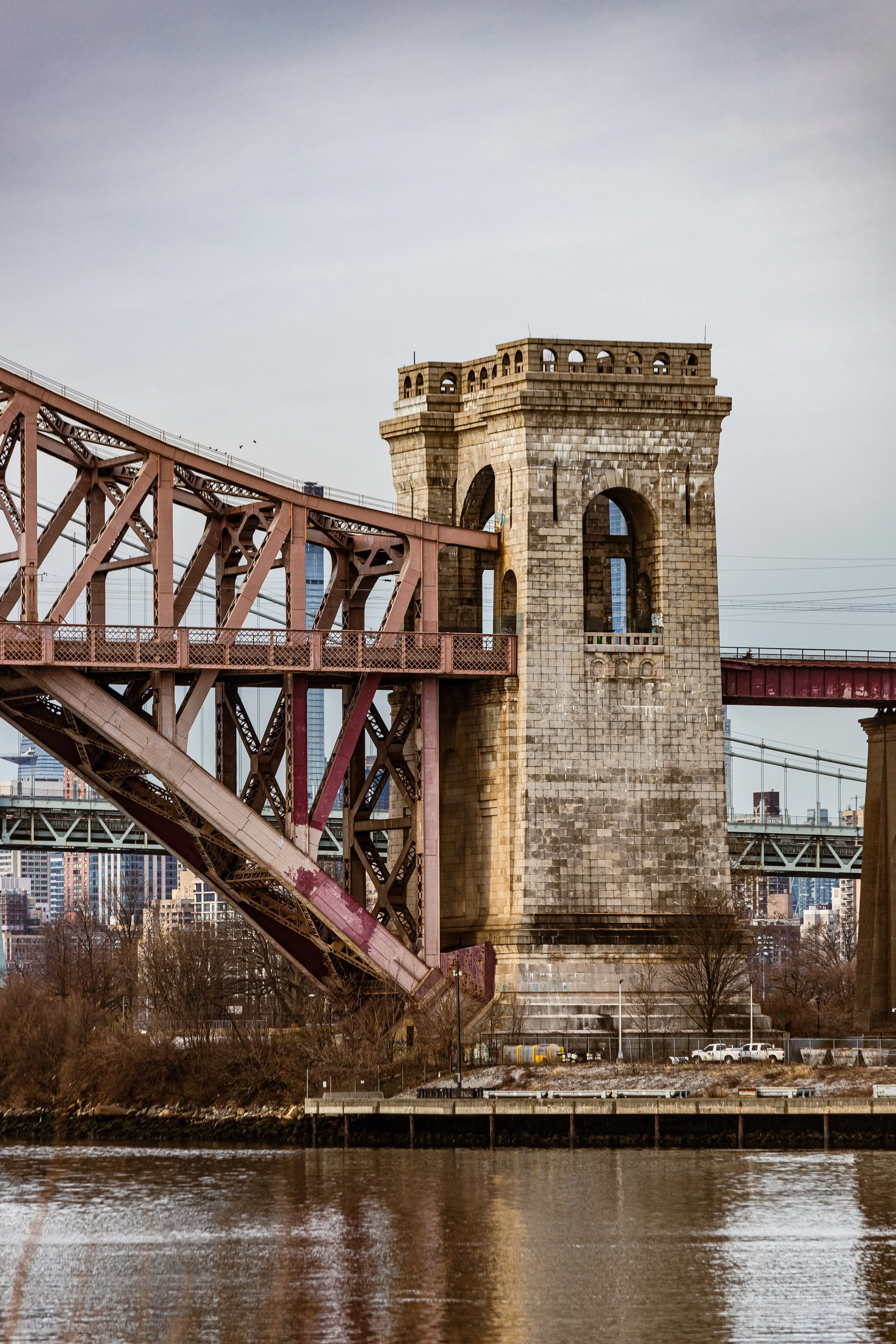
Bounded by Hazen Street to the east, the Brooklyn–Queens Expressway and the Queensboro Bridge approaches to the south, and the East River to the west and north, Ditmars–Steinway forms the northernmost section of Astoria—a dynamic waterfront neighborhood that marries industrial heritage with residential calm. The district occupies a peninsula where the East River bends toward Bowery Bay and Rikers Island, its geography shaped by the rhythms of aviation, industry, and urban renewal. To the west lie the piers and warehouses of the Astoria waterfront; to the north, the sweeping views across the river toward the Bronx and Manhattan; and at its heart, the broad residential grid radiating from Ditmars Boulevard, the area’s principal artery.
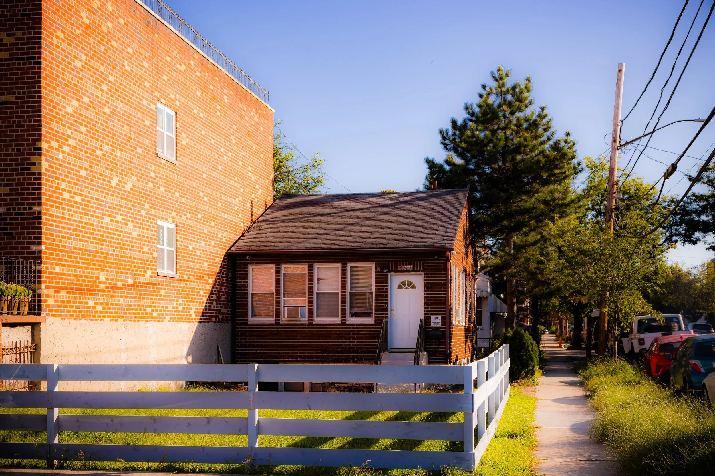
The neighborhood’s terrain is flat and low-lying, punctuated by wide, tree-lined streets and prewar apartment buildings interspersed with modest brick rowhouses and detached homes. The N and W subway lines terminate at Astoria–Ditmars Boulevard Station, the neighborhood’s anchor and gateway to Midtown Manhattan. Along Steinway Street, small businesses, cafés, and family-run restaurants give way to the historic Steinway & Sons Piano Factory, one of the most storied industrial landmarks in New York. The mixture of manufacturing legacy, quiet residential blocks, and proximity to the water gives Ditmars–Steinway a layered urban character—part industrial past, part thriving modern village.
Etymology and Origins
The twin name “Ditmars–Steinway” reflects the merger of two distinct historical threads. “Ditmars” honors the Ditmars family, among the earliest Dutch settlers in western Queens, who farmed this land in the 17th and 18th centuries. Their homestead, near today’s Ditmars Boulevard, lent its name to one of the area’s main thoroughfares. “Steinway,” meanwhile, derives from Henry Engelhard Steinway, the German-born founder of Steinway & Sons, who in the 1870s established an entire company town around his piano factory on the Astoria waterfront. The combination of these two identities—agrarian and industrial—produced a neighborhood that has always balanced craftsmanship, community, and cosmopolitanism.
Before its industrial development, the land belonged to the Town of Newtown, characterized by salt marshes and small farms stretching toward the East River. With the advent of the 19th century’s industrial revolution and New York’s rapid growth, the area’s strategic position—between the river and the city’s expanding rail and ferry networks—made it ideal for manufacturing.
The Neighborhood
19th Century: The Steinway Legacy and Industrial Transformation
In 1870, Henry Steinway purchased over 400 acres of farmland along the East River and began constructing what would become Steinway Village—a model industrial community combining factories, worker housing, and public amenities. At its center stood the Steinway & Sons Piano Factory, which produced the world’s finest pianos and still operates today as a functioning manufacturing complex.
Steinway Village was notable for its self-sufficiency. The company built housing for workers, a school, a church, a firehouse, and even established its own Steinway Railway—a horse-drawn streetcar line that later evolved into a trolley route connecting the factory to Long Island City ferries. The community embodied the paternalistic ideals of the era’s industrialists: orderly, moral, and productive. By the late 19th century, Steinway Village was absorbed into the expanding urban fabric of Astoria but retained its distinct industrial and architectural character.
Meanwhile, the Ditmars area to the south remained semi-rural well into the early 1900s, its grid of newly platted streets waiting for the city’s growth to reach it. The eventual arrival of transit lines and municipal services would fuse Ditmars and Steinway into a single neighborhood by the early 20th century.
Early 20th Century: Suburbanization and Civic Growth
With the construction of the Astoria Line of the Interborough Rapid Transit (IRT) in 1917—today’s N and W trains—Ditmars–Steinway was transformed from an industrial outpost into a thriving residential district. Developers quickly filled the blocks south of Ditmars Boulevard with two-story brick rowhouses, apartment buildings, and corner shops catering to a growing middle class. The proximity to Manhattan, coupled with affordable housing, attracted families of Italian, Greek, and Irish descent, many of whom worked either at the Steinway factory or in the nearby manufacturing centers of Long Island City.
During the interwar years, Ditmars Boulevard emerged as the neighborhood’s civic and commercial spine, lined with bakeries, markets, and cafés. Schools, parishes, and small parks fostered a strong sense of local identity. The industrial waterfront, though largely inaccessible to the public, remained an economic lifeline, home to shipyards, power plants, and factories that provided steady employment.
Ditmars-Steinway Photographic Video
Mid-20th Century: Immigration, Industry, and the Modern Era
The post–World War II decades brought both continuity and change. Steinway & Sons continued to operate, its workforce expanding to meet international demand. At the same time, new residents—particularly Greek immigrants arriving in large numbers from the 1950s through the 1970s—reshaped the neighborhood’s social and cultural landscape. Greek tavernas, bakeries, and coffeehouses appeared along 31st Street and Ditmars Boulevard, giving the area a distinctly Mediterranean flavor that remains visible today.
The industrial edges of Ditmars–Steinway evolved as well. The establishment of LaGuardia Airport across Bowery Bay in 1939 altered the skyline, bringing both economic opportunity and environmental challenges. The Rikers Island Bridge, completed in 1966, connected the nearby correctional complex to the mainland just north of the neighborhood, reinforcing Ditmars–Steinway’s role as a geographic hinge between the industrial waterfront and the broader metropolitan system.
Despite the turbulence of the 1970s—a period of economic decline and urban disinvestment—Ditmars–Steinway remained stable, sustained by its high homeownership rate and deeply rooted community networks.
Late 20th and Early 21st Century: Renewal and Identity
In the closing decades of the 20th century, Ditmars–Steinway began to experience the first waves of reinvestment that would define its modern character. The decline of heavy industry opened portions of the waterfront to redevelopment, while new generations of immigrants—from Latin America, the Middle East, and Eastern Europe—joined the established Greek, Italian, and Irish populations. Restaurants, markets, and cafés multiplied along Ditmars Boulevard, turning it into one of Queens’ most vibrant dining corridors.
In the 2000s and 2010s, the neighborhood’s proximity to Manhattan made it increasingly desirable for professionals seeking urban convenience with a small-town feel. New housing blended with historic rowhouses, and community gardens and parks, such as Astoria Park just to the southwest, enhanced the area’s livability. Yet despite gentrification pressures, Ditmars–Steinway has largely retained its authenticity: family-owned businesses persist, and the Steinway factory continues to symbolize continuity amid change.
Environmental restoration projects around Luyster Creek and Bowery Bay have revived the waterfront’s ecological significance, reconnecting the community—if only partially—to its maritime setting. Civic activism remains strong, focused on preserving affordable housing, improving transportation, and advocating for access to the East River shoreline.
Ditmars-Steinway Photo Gallery
Spirit and Legacy
Ditmars–Steinway’s legacy is one of craftsmanship, endurance, and cultural synthesis. From the piano artisans of the 19th century to the immigrant restaurateurs of today, the neighborhood has continuously reinvented itself while preserving its core identity as a place of work, community, and artistry.
New York City
Use this custom Google map to explore where every neighborhood in all five boroughs of New York City is located.
The Five Boroughs
One of New York City’s unique qualities is its organization in to 5 boroughs: Manhattan, Brooklyn, Queens, The Bronx, and Staten Island. These boroughs are part pragmatic administrative districts, and part vestiges of the region’s past. Each borough is an entire county in New York State - in fact, Brooklyn is, officially, Kings County, while Staten Island is, officially Richmond County. But that’s not the whole story …
Initially, New York City was located on the southern tip of Manhattan (now the Financial District) that was once the Dutch colony of New Amsterdam. Across the East River, another city was rising: Brooklyn. In time, the city planners realized that unification between the rapidly rising cities would create commercial and industrial opportunities - through streamlined administration of the region.
So powerful was the pull of unification between New York and Brooklyn that three more counties were pulled into the unification: The Bronx, Queens, and Staten Island. And on January 1, 1898, the City of New York unified two cities and three counties into one Greater City of New York - containing the five boroughs we know today.
But because each borough developed differently and distinctly until unification, their neighborhoods likewise uniquely developed. Today, there are nearly 390 neighborhoods, each with their own histories, cultures, cuisines, and personalities - and each with residents who are fiercely proud of their corner of The Big Apple.


