MORRISANIA
The Bronx
Geographic Setting
Bounded by Crotona Park to the north, Prospect Avenue to the northeast and east, East 163rd Street to the south, and a western border running north from East 161st Street along Park Avenue to East 168th Street, then east to Fulton Avenue, and back north to Crotona Park, Morrisania sits at the geographical and symbolic heart of the Bronx. Once the borough’s civic cradle and later a frontline of urban struggle and renewal, Morrisania today stands as a vibrant, densely layered community of remarkable history, architecture, and resilience.
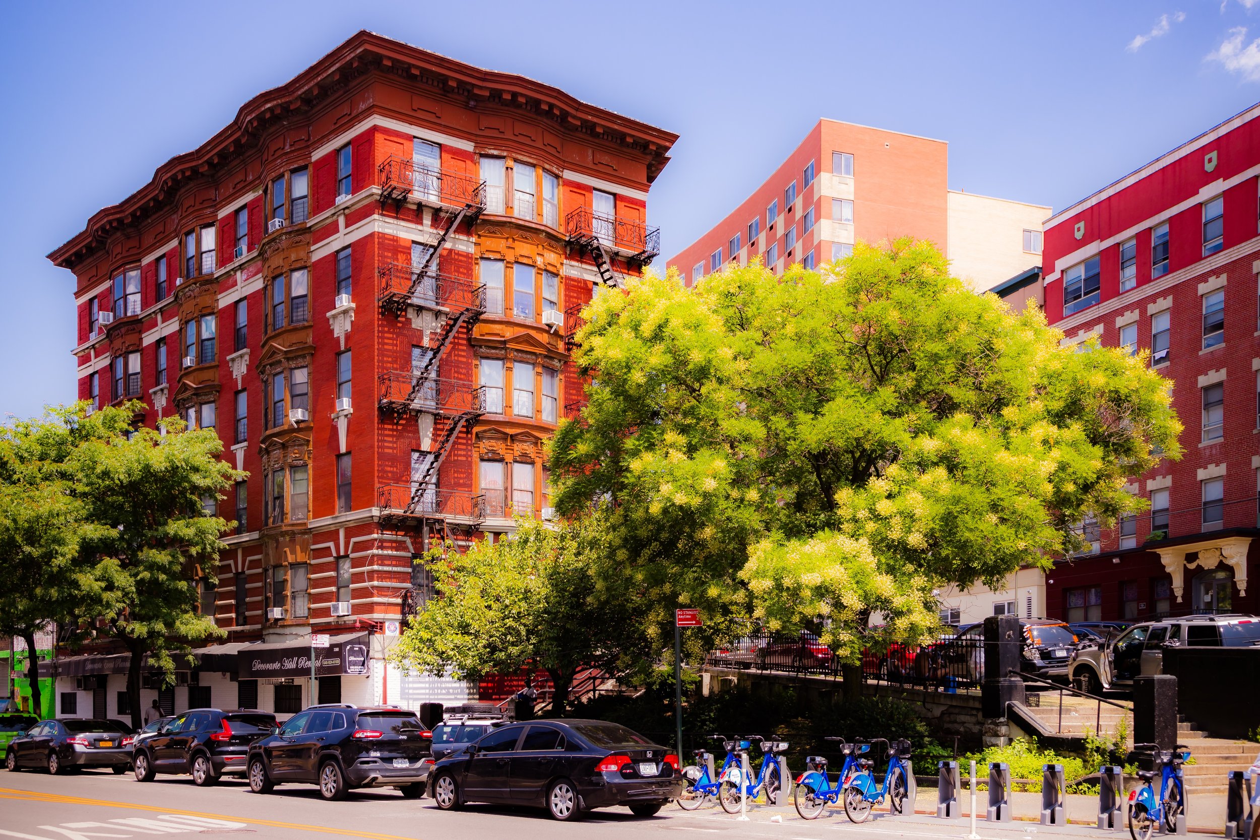
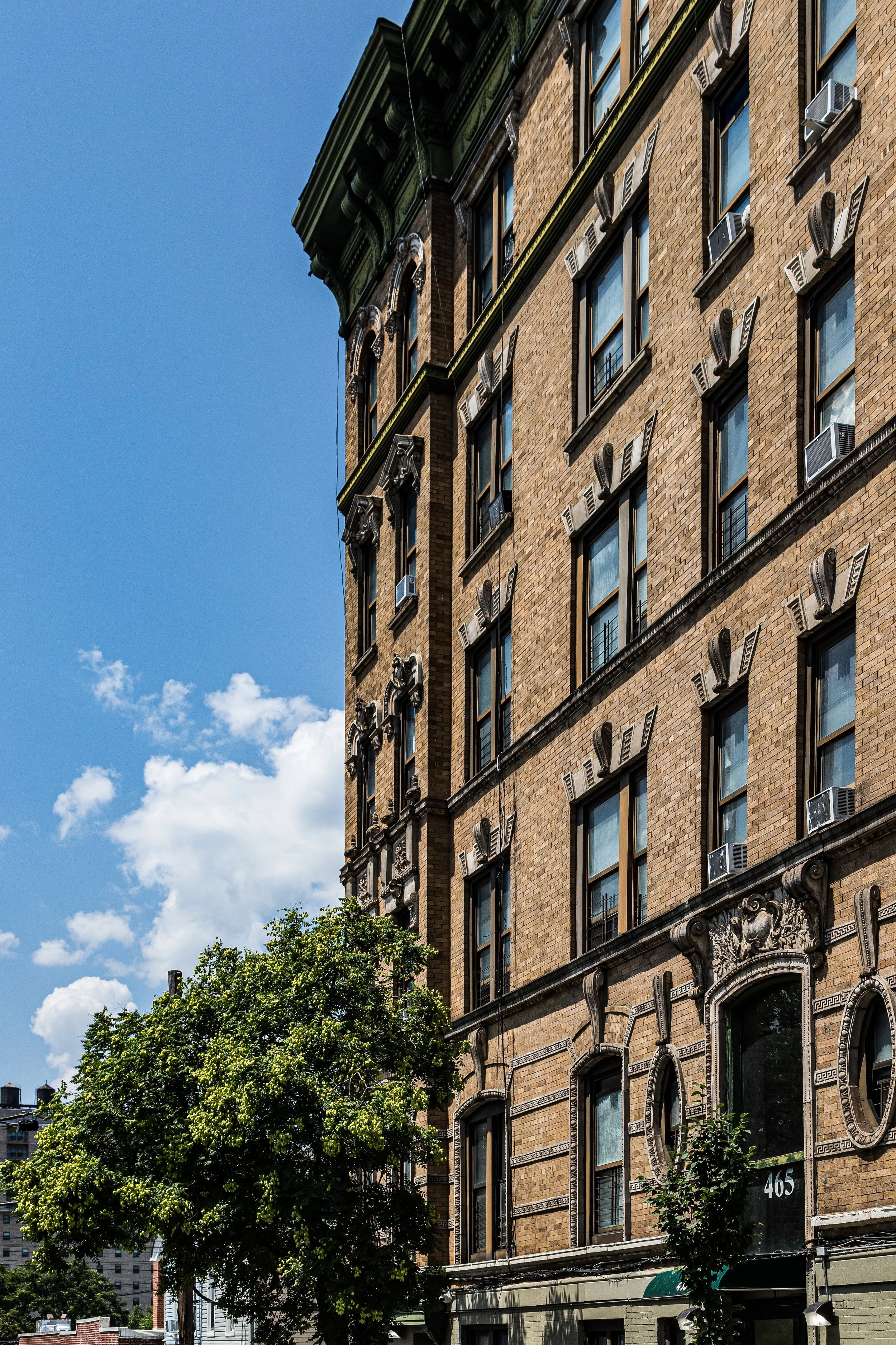
The neighborhood is a mixture of 19th-century rowhouses, prewar apartment buildings, community gardens, and new affordable housing complexes, interwoven with churches, schools, and cultural centers that sustain a powerful sense of local identity. Third Avenue, Boston Road, and Prospect Avenue serve as key commercial arteries, lined with small businesses that reflect the neighborhood’s dynamic Latino, African-American, and West African populations. Crotona Park, one of the Bronx’s great green spaces, anchors the north—a welcome expanse of meadows, lakes, and recreational fields that offers a reprieve from the surrounding density.
While much of the neighborhood bears the marks of 20th-century hardship and renewal, its tree-lined side streets and restored brownstones whisper of its former grandeur, when Morrisania stood at the forefront of the Bronx’s transformation from farmland to metropolis.
Etymology
The name “Morrisania” derives from the Morris family, whose vast estate once encompassed much of the South Bronx. The Morrises—descendants of Welsh immigrant Lewis Morris, who arrived in the late 1600s—were among the region’s most influential families. Lewis Morris Jr. signed the Declaration of Independence, and his descendants became leading figures in colonial and early American politics. Their estate, known as “Morrisania,” spanned thousands of acres, including present-day Morris Heights, Morris Park, and much of the central Bronx.
The name, meaning “land of the Morrises,” became synonymous with power, landownership, and later, transition. By the 19th century, as the estate was subdivided and sold off for development, “Morrisania” came to refer not to aristocratic property but to the working-class urban neighborhood that rose in its place—a shift emblematic of New York’s evolution from gentry estates to democratic cityscape.
The Neighborhood
Origins through the 19th Century
In the 18th century, Morrisania was a pastoral landscape of farmland, orchards, and meadows along the Bronx River. The Morris estate operated as a self-sufficient manor, with enslaved and indentured laborers working its fields. During the American Revolution, the Morrises’ loyalties divided the family—Lewis Morris Jr., a patriot, supported independence, while his relatives were Loyalists. After the war, the estate gradually fragmented, sold in parcels as the family’s wealth declined.
By the 1840s–1850s, developers transformed Morrisania into one of the Bronx’s earliest commuter suburbs. The arrival of the New York and Harlem Railroad (1841) along the western edge of the property made the area accessible to Manhattan. Lewis Gouverneur Morris, a descendant of the family, began subdividing land into residential plots, advertising “country homes for city merchants.” The resulting village, incorporated as the Town of Morrisania in 1855, quickly grew into a thriving, semi-urban community of rowhouses, churches, and small factories.
When Morrisania was annexed to New York City in 1874, it became one of the first Bronx districts to transition from countryside to urban neighborhood. The opening of the Third Avenue Elevated Line in 1887 accelerated development, linking Morrisania directly to Manhattan and attracting a growing working-class population—Irish, German, and later Jewish immigrants—who filled its new tenements and worked in local manufacturing.
Early 20th Century: Industrial Growth and Urban Identity
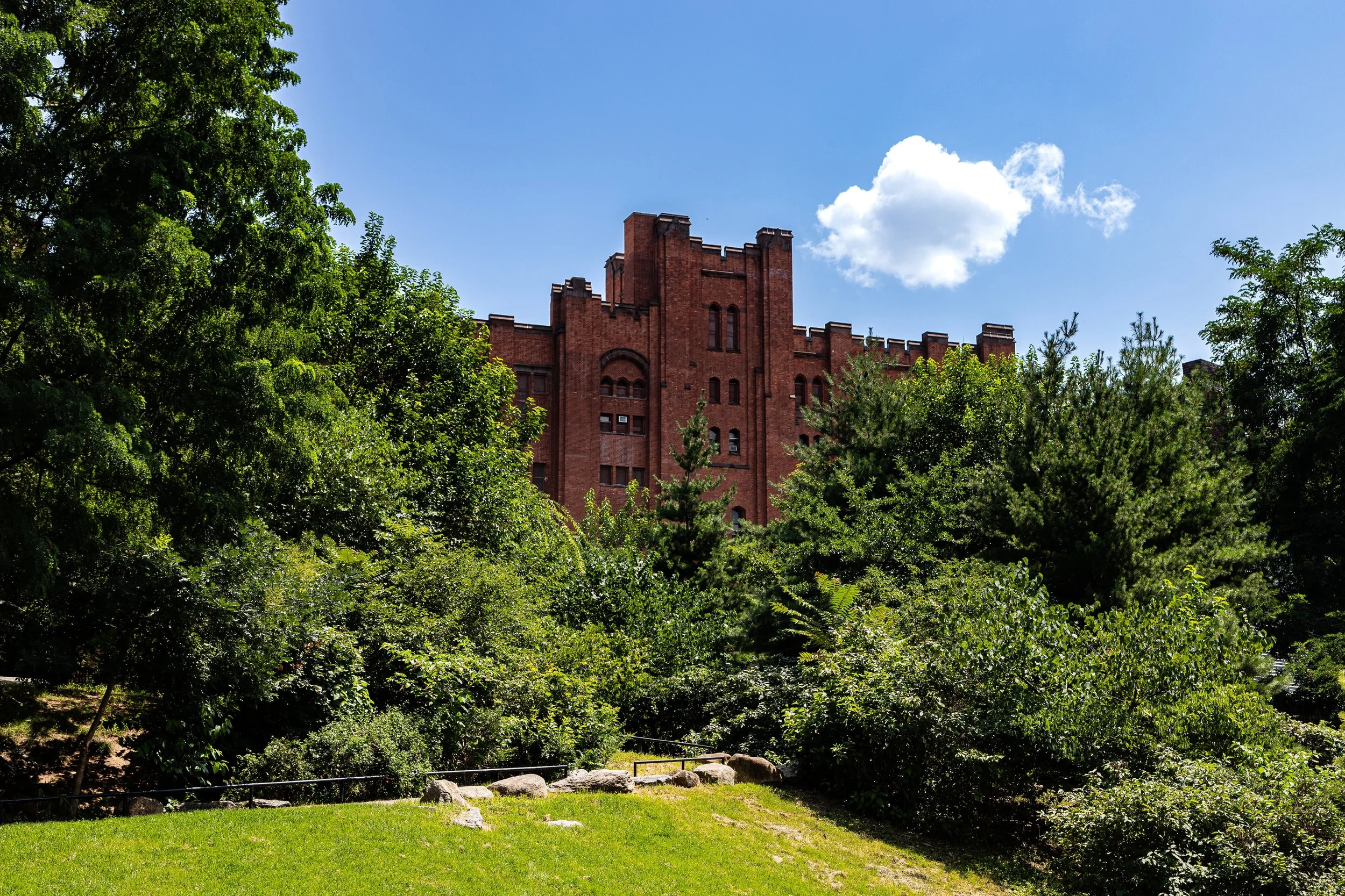
By the early 1900s, Morrisania was fully urbanized—a dense but vibrant working-class neighborhood characterized by brick tenements, schoolhouses, synagogues, and corner stores. The commercial hub along Third Avenue bustled with bakeries, department stores, and theatres. Schools such as Morris High School (founded 1897), one of the Bronx’s oldest, became pillars of civic life, producing generations of students who would go on to shape Bronx culture.
The neighborhood’s population diversified rapidly. By the 1920s, it was a mosaic of Jewish, Italian, and African-American families, living in close proximity amid a culture of shared public life. Streets were filled with pushcarts, and stoop life defined the neighborhood’s rhythm. Churches and synagogues stood side by side; civic groups and fraternal lodges flourished. The arts also found roots here—by mid-century, Morrisania would become a birthplace of both Bronx Latin music and early hip-hop.
Morrisania Video Coming Soon
Mid–Late 20th Century: Disinvestment, Decline, and Determination
The postwar decades brought tremendous change. Beginning in the 1950s, white flight, urban renewal projects, and discriminatory lending practices reshaped Morrisania’s demographics and economy. Many Italian and Jewish families relocated to the suburbs, replaced by Puerto Rican and African-American migrants seeking affordable housing.
Then came crisis. The construction of the Cross Bronx Expressway (1948–1972) displaced thousands of residents citywide and fragmented local economies. Disinvestment, arson, and abandonment reached their height in the 1970s, when Morrisania became one of the epicenters of the South Bronx’s devastation. Block after block along Third Avenue, Boston Road, and Claremont Parkway fell into ruin. Photographs of burned-out buildings, broken windows, and desolate lots defined the national image of the Bronx.
Yet even as the fires raged, the people of Morrisania fought back. Community Development Corporations (CDCs) such as Banana Kelly, Phipps Houses, and the Mid-Bronx Desperadoes led the charge in reclaiming abandoned properties and rebuilding affordable housing. Churches, block associations, and local organizers created tenant patrols, community gardens, and youth programs. Their collective work laid the groundwork for what would become one of New York’s most remarkable stories of urban regeneration.
21st Century: Rebuilding the Heart of the Bronx
In the 21st century, Morrisania has re-emerged as a thriving, diverse community—one that honors its historic identity while embracing a new era of stability and pride. Extensive affordable housing redevelopment through city partnerships and nonprofit initiatives has transformed once-vacant lots into new apartment complexes, schools, and parks. Restored rowhouses and prewar buildings stand beside modern low- and mid-rise developments that recall the density of the original urban fabric.
Today, Morrisania is a predominantly Latino and African-American neighborhood, with growing populations of West African and Caribbean immigrants. Its streets hum with cultural life: salsa and bachata from open windows, church choirs on Sundays, food trucks along Boston Road. Community institutions such as the Andrew Freedman Home (a restored mansion now serving as a cultural center), Phipps Neighborhoods, and the Bronx Documentary Center play vital roles in education, the arts, and social advocacy.
Meanwhile, nearby Crotona Park—once neglected—has been beautifully revitalized, its lake, pool, and athletic fields once again central to community life. Murals throughout the neighborhood celebrate both local heroes and the Bronx’s contributions to world culture, especially hip-hop, which took formative steps in Morrisania’s parks and block parties during the 1970s.
Morrisania Photo Gallery
Spirit and Legacy
The spirit of Morrisania lies in endurance transformed into pride. Once the estate of colonial aristocrats, later the scene of urban catastrophe, it has become a living emblem of the Bronx’s rebirth through community action. Its name, once tied to the privilege of a single family, now represents the collective achievement of thousands who refused to abandon their neighborhood.
New York City
Use this custom Google map to explore where every neighborhood in all five boroughs of New York City is located.
The Five Boroughs
One of New York City’s unique qualities is its organization in to 5 boroughs: Manhattan, Brooklyn, Queens, The Bronx, and Staten Island. These boroughs are part pragmatic administrative districts, and part vestiges of the region’s past. Each borough is an entire county in New York State - in fact, Brooklyn is, officially, Kings County, while Staten Island is, officially Richmond County. But that’s not the whole story …
Initially, New York City was located on the southern tip of Manhattan (now the Financial District) that was once the Dutch colony of New Amsterdam. Across the East River, another city was rising: Brooklyn. In time, the city planners realized that unification between the rapidly rising cities would create commercial and industrial opportunities - through streamlined administration of the region.
So powerful was the pull of unification between New York and Brooklyn that three more counties were pulled into the unification: The Bronx, Queens, and Staten Island. And on January 1, 1898, the City of New York unified two cities and three counties into one Greater City of New York - containing the five boroughs we know today.
But because each borough developed differently and distinctly until unification, their neighborhoods likewise uniquely developed. Today, there are nearly 390 neighborhoods, each with their own histories, cultures, cuisines, and personalities - and each with residents who are fiercely proud of their corner of The Big Apple.


