MANOR HEIGHTS
Staten Island
Geographic Setting
Bounded by Bradley Avenue to the west, the Staten Island Expressway to the north, Todt Hill Road to the east, and LaTourette Park to the south, Manor Heights occupies a leafy upland in Staten Island’s central corridor, bridging the suburban plateau of Willowbrook and the forested rise of Todt Hill. The neighborhood’s topography is gently rolling, marked by wooded ridges and open lawns that slope southward toward the preserved expanse of LaTourette Park—one of the borough’s most significant green spaces.
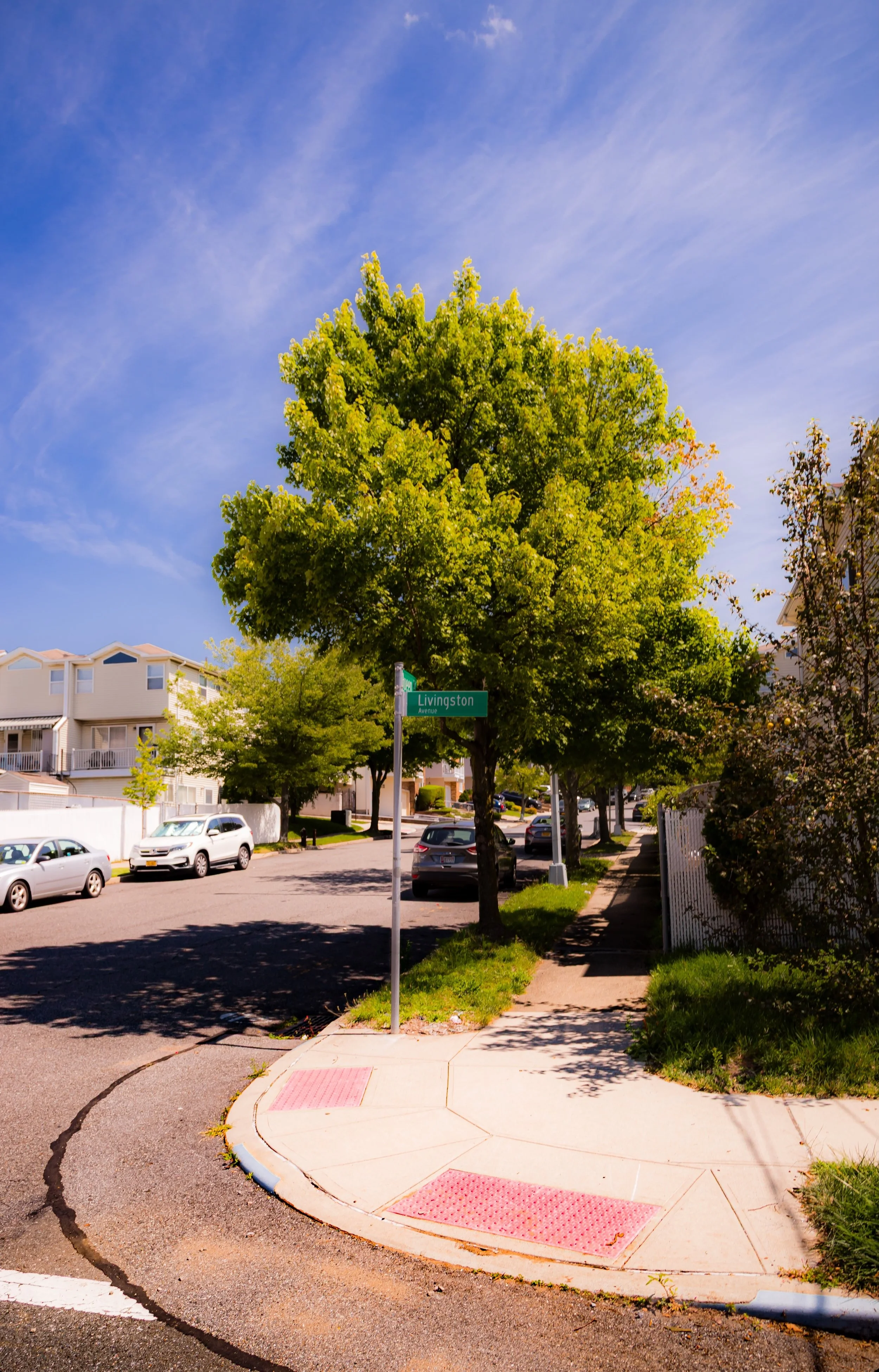
Its geography positions Manor Heights as a hinge between the urbanized northern portions of the island and the rural-seeming mid-island belt of parkland that includes Willowbrook Park, LaTourette Park, and the Staten Island Greenbelt. Residential streets radiate from Schmidts Lane and North Gannon Avenue, offering a balance of accessibility and seclusion. Despite its proximity to major thoroughfares, Manor Heights remains a neighborhood of quiet streets, mature trees, and strong civic identity—a quintessentially Staten Island blend of suburban calm and environmental stewardship.
Etymology
The name Manor Heights reflects both geography and aspiration. It was coined in the mid-20th century, when Staten Island’s postwar housing boom transformed the island’s central highlands into residential neighborhoods. “Manor” evoked the sense of refinement and comfort developers sought to project—linking the area’s new suburban homes to the grandeur of nearby Todt Hill estates—while “Heights” described the neighborhood’s elevated terrain overlooking the island’s midsection.
Unlike many Staten Island communities whose names date back to colonial times, Manor Heights is distinctly modern in origin: a product of the borough’s suburban expansion after the completion of the Verrazzano-Narrows Bridge (1964). Yet its name also recalls the island’s older topographical tradition of hill-based nomenclature—Grymes Hill, Emerson Hill, Lighthouse Hill—linking it to Staten Island’s lineage of upland communities.
The Neighborhood
Origins through the 19th Century
In the 18th and 19th centuries, the land now occupied by Manor Heights lay within the old Town of Southfield, an area dominated by farms, woodlots, and quarries. The ridge’s fertile soil supported small-scale agriculture, while its higher elevations remained forested, providing lumber and watershed protection for the lowlands below. Richmond Road and Rockland Avenue, two of Staten Island’s oldest thoroughfares, skirted the area’s periphery, connecting the rural interior to the markets and ferries along the North Shore.
During this period, the region’s isolation preserved its natural character. The nearby LaTourette family farm, established in the early 19th century, became one of Staten Island’s largest estates and set the pattern for the agricultural and later recreational use of the southern slopes. The future site of Manor Heights remained largely undeveloped through the 19th century—its rolling meadows and forests forming part of the backdrop for the growing settlements of Willowbrook and Richmondtown.
Early 20th Century: Estates and Institutions
At the turn of the 20th century, Staten Island’s central corridor began to attract institutional and estate development rather than dense housing. Wealthy families built country homes along Todt Hill Road, while large tracts were acquired by the city and state for educational and social facilities. To the west, the Willowbrook State School was constructed in the 1930s as a residential institution for children with developmental disabilities, occupying much of the land between Victory Boulevard and Richmond Avenue.
The surrounding highlands—today’s Manor Heights—remained wooded and semi-rural, punctuated by a few private estates and farmhouses. Roads were sparse and unpaved, and the area’s hilly topography deterred early subdivision. However, the construction of the Staten Island Expressway in the 1950s began to redefine the landscape. The expressway’s southern frontage created new accessibility, and developers quickly recognized the appeal of building homes within easy reach of the island’s growing transportation network while retaining proximity to parkland.
Manor Heights Video Coming Soon
Mid–Late 20th Century: The Suburban Ascent
The modern identity of Manor Heights took shape in the 1950s and 1960s, as Staten Island underwent its most dramatic period of suburban expansion. The completion of the Staten Island Expressway (1964) and the opening of the Verrazzano-Narrows Bridge that same year spurred a wave of development across central Staten Island. Former woodlots and estates were subdivided into residential parcels, and new streets—Melba Street, Gansevoort Boulevard, Schmidts Lane, and Wakeman Place—were cut through to form the neighborhood’s present-day grid.
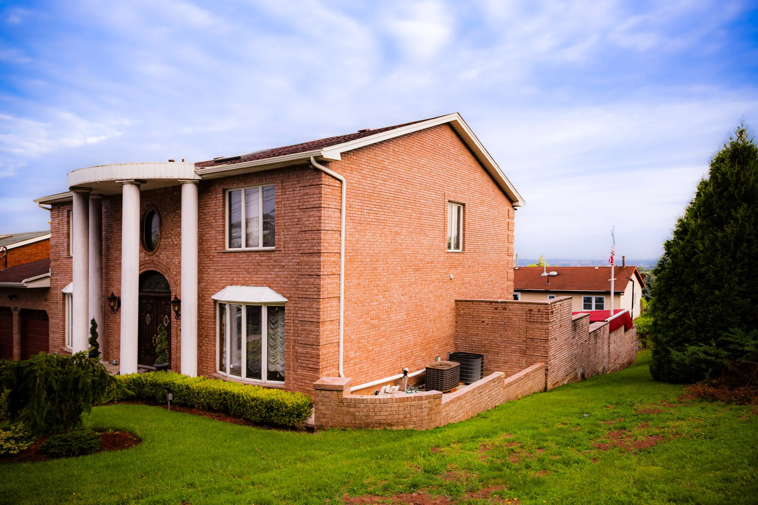
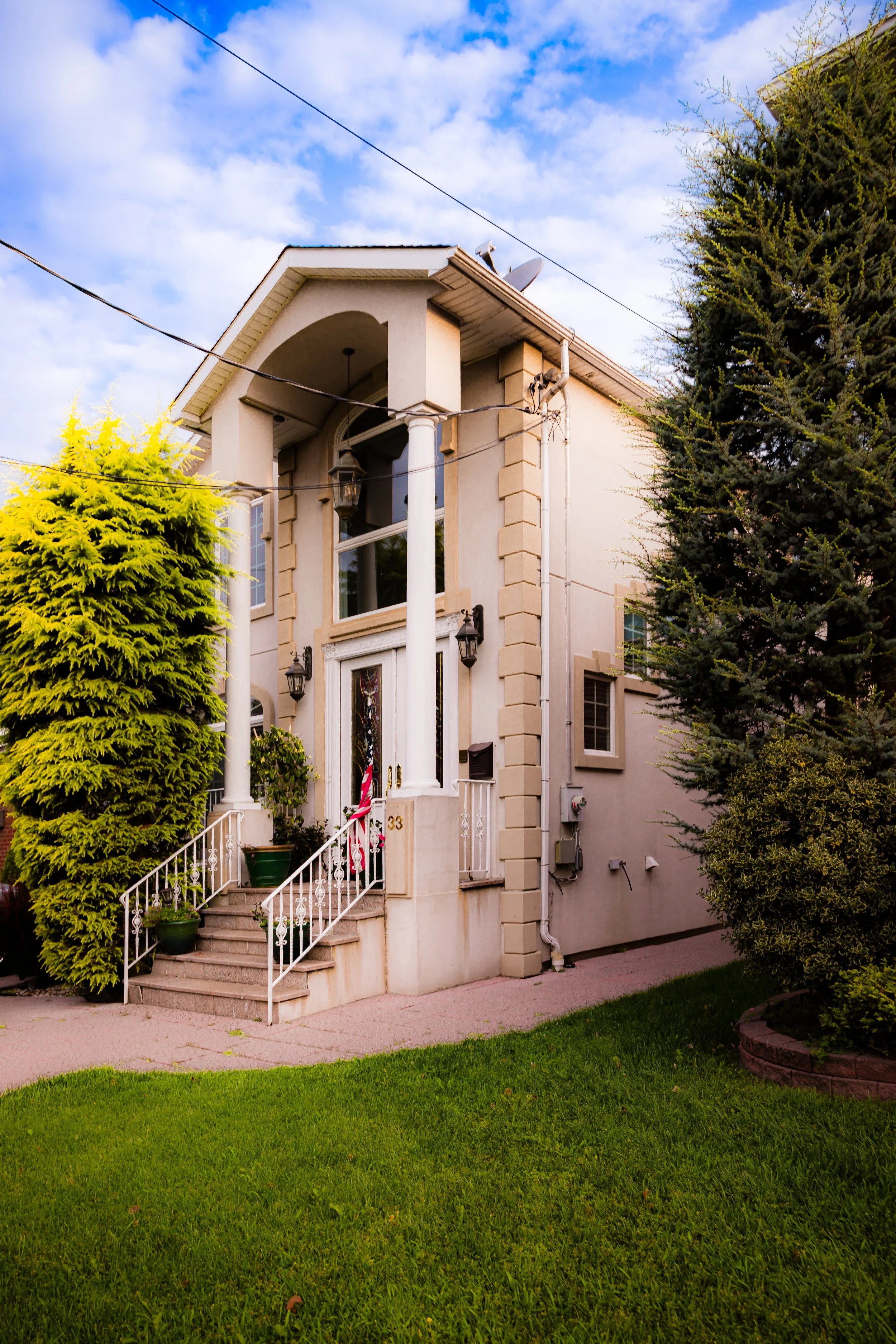
Manor Heights quickly emerged as a desirable location for middle-class families seeking larger homes, quiet streets, and access to both the expressway and Staten Island’s park system. The housing stock consisted primarily of single-family detached homes—Cape Cods, split-levels, and Colonials—reflecting the suburban architectural language of the era.
The establishment of Susan E. Wagner High School in 1968 provided an educational anchor for the community and reinforced its identity as a family-oriented neighborhood. The school’s hilltop campus, overlooking the Greenbelt, became both a physical and symbolic landmark—a modern institution nestled within the borough’s natural heart. Civic pride grew alongside the physical expansion, as homeowners’ associations advocated for traffic control, park maintenance, and preservation of the area’s greenery.
21st Century: Suburban Serenity and Environmental Stewardship
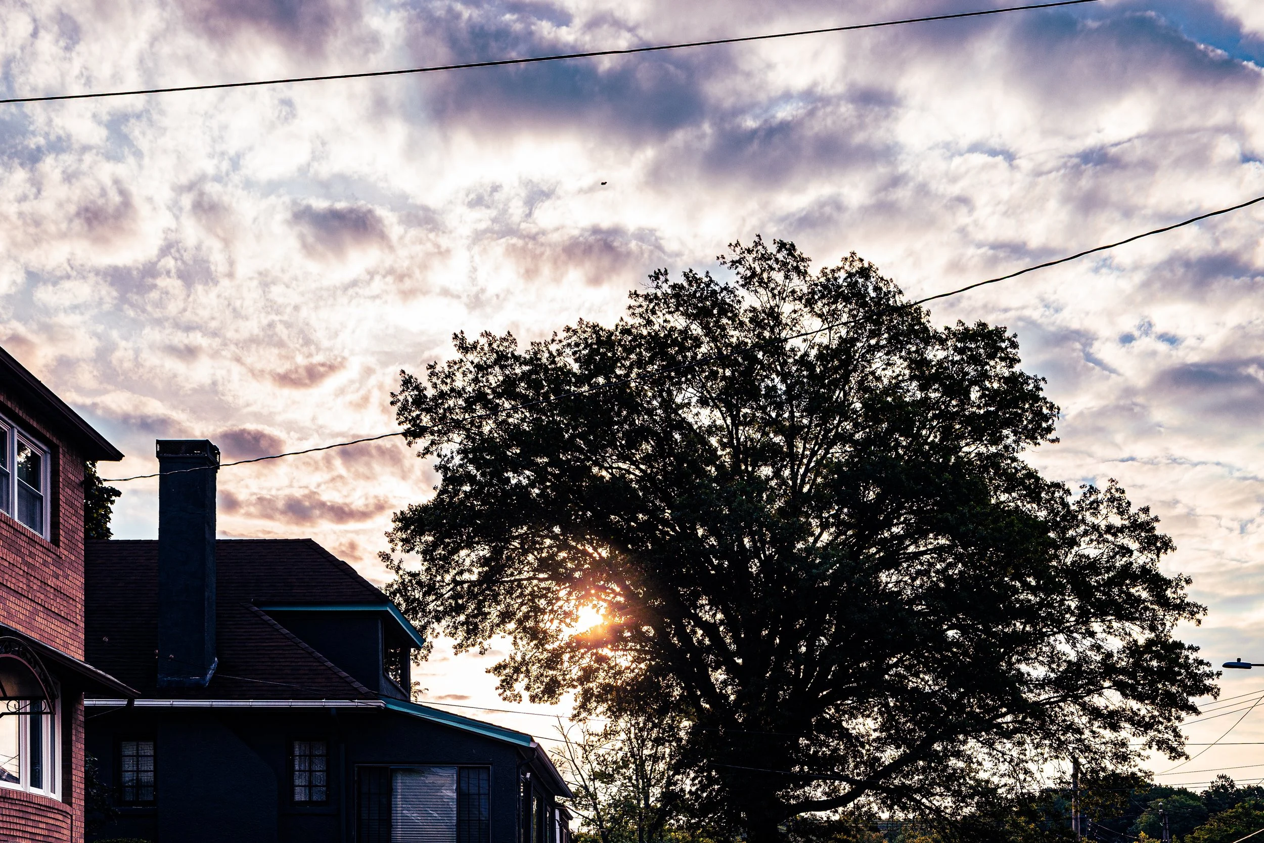
In the 21st century, Manor Heights has matured into a stable, well-established residential enclave, characterized by its blend of suburban comfort and natural beauty. Its location—between the expressway’s convenience and the wilderness of LaTourette Park—continues to define its appeal. The Greenbelt’s forests, streams, and trails form a living boundary to the south, ensuring that the neighborhood’s southern edge remains green and undeveloped.
The community’s housing remains predominantly single-family, with carefully maintained properties and modest infill construction replacing older homes over time. The proximity of Wagner College, College of Staten Island, and Susan E. Wagner High School fosters an atmosphere of learning and civic involvement, while nearby shopping corridors on Richmond Avenue and Victory Boulevard provide convenience without intruding on the area’s tranquility.
Environmental awareness remains a defining characteristic of Manor Heights. Residents and local organizations work with the Greenbelt Conservancy to maintain nearby trails and to manage runoff from the expressway and Todt Hill Road. The neighborhood’s position within Staten Island’s “Green Crescent” makes it both guardian and beneficiary of one of New York City’s largest contiguous natural preserves.
Manor Heights Photo Gallery
Spirit and Legacy
The spirit of Manor Heights lies in its elevation—both literal and symbolic. It is a community perched between the natural majesty of the Greenbelt and the hum of modern infrastructure, embodying Staten Island’s dual identity as both city and countryside. Its legacy is one of transformation: from forested ridge to planned suburb, from farmland to a family-centered haven sustained by parks and schools.
Manor Heights endures as a neighborhood where the air feels a little cleaner, the nights a little quieter, and the horizon a little wider. Its homes, shaded by old oaks and backdropped by the forests of LaTourette, remind residents daily of Staten Island’s unique blend of nature and neighborhood.
New York City
Use this custom Google map to explore where every neighborhood in all five boroughs of New York City is located.
The Five Boroughs
One of New York City’s unique qualities is its organization in to 5 boroughs: Manhattan, Brooklyn, Queens, The Bronx, and Staten Island. These boroughs are part pragmatic administrative districts, and part vestiges of the region’s past. Each borough is an entire county in New York State - in fact, Brooklyn is, officially, Kings County, while Staten Island is, officially Richmond County. But that’s not the whole story …
Initially, New York City was located on the southern tip of Manhattan (now the Financial District) that was once the Dutch colony of New Amsterdam. Across the East River, another city was rising: Brooklyn. In time, the city planners realized that unification between the rapidly rising cities would create commercial and industrial opportunities - through streamlined administration of the region.
So powerful was the pull of unification between New York and Brooklyn that three more counties were pulled into the unification: The Bronx, Queens, and Staten Island. And on January 1, 1898, the City of New York unified two cities and three counties into one Greater City of New York - containing the five boroughs we know today.
But because each borough developed differently and distinctly until unification, their neighborhoods likewise uniquely developed. Today, there are nearly 390 neighborhoods, each with their own histories, cultures, cuisines, and personalities - and each with residents who are fiercely proud of their corner of The Big Apple.


