
CUNNINGHAM PARK
Queens
Geographic Setting
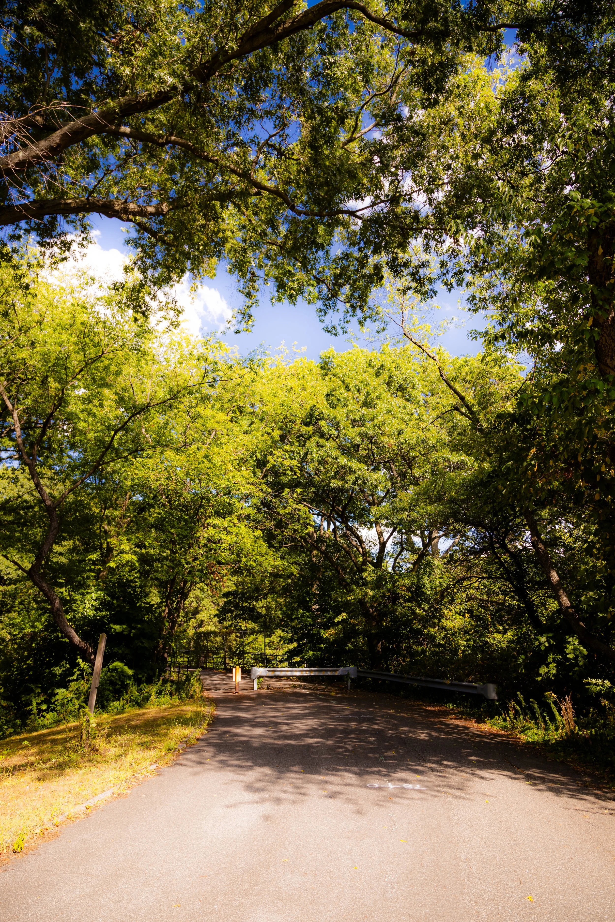
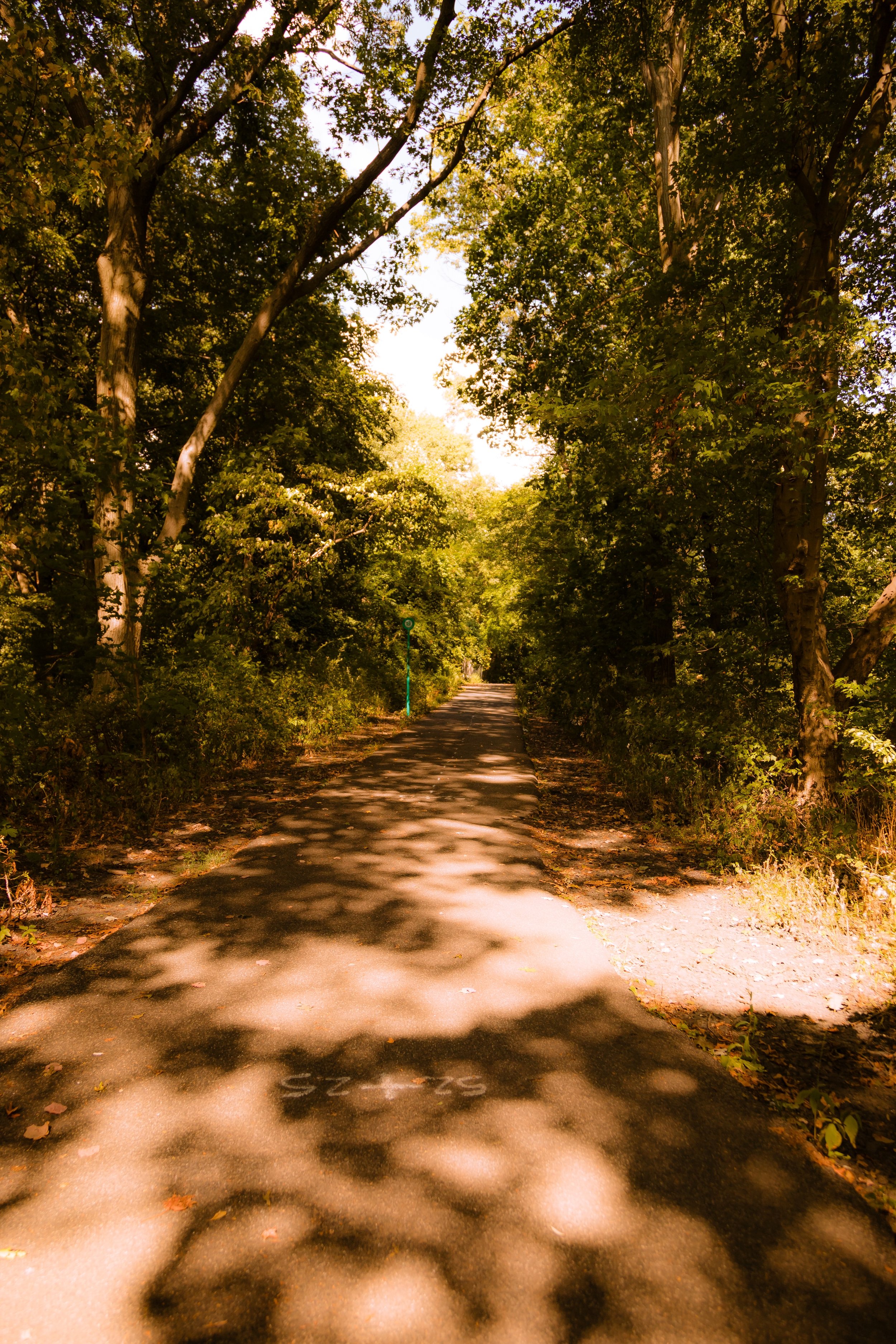
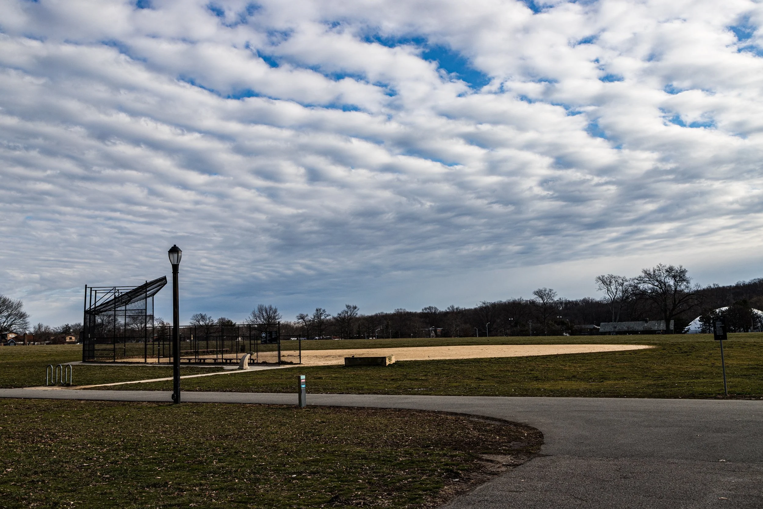
Stretching across the center of eastern Queens, Cunningham Park occupies a broad green corridor between Fresh Meadows, Hollis Hills, and Bayside Hills, linking Union Turnpike to Grand Central Parkway and extending eastward toward Francis Lewis Boulevard and Clearview Expressway. The park’s 358 acres form a vital segment of the Brooklyn–Queens Greenway, connecting Forest Park to Alley Pond Park through a continuous chain of meadows, woodlands, and bike paths. Its landscape is a balance of manicured ballfields, playgrounds, and picnic areas in the north, and untouched oak–hickory forest in the south. The park’s winding roads—Francis Lewis Boulevard, Hollis Court Boulevard, and 196th Street—trace its perimeter, enclosing one of Queens’ largest and most beloved natural refuges.
Etymology and Origins
Cunningham Park honors Major W. Arthur Cunningham (1886–1934), a decorated World War I veteran and the New York City Controller under Mayor John P. O’Brien. His sudden death in 1934 prompted the naming of the park, then still under construction, as a memorial to civic duty and service. Before its designation as parkland, the site consisted of glacial hills, forests, and small farms—part of the ancient Long Island terminal moraine that defines the borough’s midsection. The area’s creeks and wooded ravines made it a natural choice for preservation during the city’s great park expansion of the 1930s.
The Neighborhood
1930s–1950s: A Vision of Green Connectivity
The creation of Cunningham Park was part of Robert Moses’ master plan for a network of parks and parkways that would link neighborhoods and restore open space to the rapidly urbanizing borough. Land acquisition began in 1928, and by the mid-1930s, crews under the Works Progress Administration (WPA) were grading fields, planting trees, and constructing the first recreational facilities. The park’s placement along the developing Grand Central Parkway and Union Turnpike corridors ensured accessibility to motorists and cyclists alike.
During the postwar years, the park became a nucleus of suburban recreation. Families from the newly built communities of Fresh Meadows, Hollis Hills, and Bayside Hills flocked here for ballgames, barbecues, and concerts. Baseball diamonds, tennis courts, and playgrounds appeared near Union Turnpike, while the park’s interior remained wild—dense groves of oak, maple, and tulip trees echoing the primeval forests that once covered Long Island. The city’s decision to connect Cunningham to Alley Pond Park through a dedicated greenway cemented its role as both neighborhood park and regional passage.
Mid–Late 20th Century: Recreation and Preservation
From the 1960s through the 1980s, Cunningham Park evolved with the times. It became known for its extensive athletic facilities—soccer fields, baseball leagues, cricket pitches, and the Cunningham Park Mountain Bike Trail, a 7-mile course threading through its woodlands. The Vanderbilt Motor Parkway, the historic 1908 automobile racing route that cuts across the park, was converted into a pedestrian and bicycle path, transforming an artifact of the industrial age into a modern green artery.
As environmental awareness grew, efforts to preserve the park’s forested interior intensified. Civic and environmental groups, including the Natural Areas Conservancy and local Community Board 8, spearheaded reforestation programs and invasive species removal. These initiatives restored native plants, strengthened wildlife habitats, and reconnected residents to the park’s natural heritage. The resulting mosaic of recreation and conservation made Cunningham one of New York’s most balanced urban parks.
Cunningham Park Photographic Video
21st Century: A Living Landscape
Today, Cunningham Park serves as both retreat and connector—linking urban neighborhoods with nature’s continuity. The Brooklyn–Queens Greenway, which passes through the park, attracts cyclists, runners, and walkers who follow its shaded paths from Forest Park all the way to Little Neck Bay. Families gather at the Francis Lewis Boulevard playground, while birdwatchers frequent the wooded southern trails where warblers and red-tailed hawks thrive.
The park’s civic role endures through seasonal events: the Cunningham Park Farmers Market, outdoor concerts, and the Bark in the Park festival draw residents from across Queens. Its combination of recreation, history, and ecology makes it a green anchor in a borough that continues to urbanize around it. The surrounding neighborhoods—Hollis Hills, Fresh Meadows, and Oakland Gardens—owe much of their calm and property value to the enduring green buffer that Cunningham Park provides.
Cunningham Park Photo Gallery
Spirit and Legacy
Cunningham Park is more than a park; it is a living memorial—to public service, community resilience, and the city’s foresight in preserving its natural soul. Its wooded slopes and open fields recall the Long Island landscape before pavement, while its playgrounds and bike paths represent the promise of shared public life. Standing beneath the canopy near Union Turnpike, one hears both birdsong and the distant hum of the parkway—a reminder that New York’s greatness lies not only in its skyline but in its capacity for balance. In Cunningham Park, the city breathes—steady, green, and timeless.
New York City
Use this custom Google map to explore where every neighborhood in all five boroughs of New York City is located.
The Five Boroughs
One of New York City’s unique qualities is its organization in to 5 boroughs: Manhattan, Brooklyn, Queens, The Bronx, and Staten Island. These boroughs are part pragmatic administrative districts, and part vestiges of the region’s past. Each borough is an entire county in New York State - in fact, Brooklyn is, officially, Kings County, while Staten Island is, officially Richmond County. But that’s not the whole story …
Initially, New York City was located on the southern tip of Manhattan (now the Financial District) that was once the Dutch colony of New Amsterdam. Across the East River, another city was rising: Brooklyn. In time, the city planners realized that unification between the rapidly rising cities would create commercial and industrial opportunities - through streamlined administration of the region.
So powerful was the pull of unification between New York and Brooklyn that three more counties were pulled into the unification: The Bronx, Queens, and Staten Island. And on January 1, 1898, the City of New York unified two cities and three counties into one Greater City of New York - containing the five boroughs we know today.
But because each borough developed differently and distinctly until unification, their neighborhoods likewise uniquely developed. Today, there are nearly 390 neighborhoods, each with their own histories, cultures, cuisines, and personalities - and each with residents who are fiercely proud of their corner of The Big Apple.


