CASTLETON CORNERS
Staten Island
Geographic Setting
Bounded by Jewett Avenue to the west, Forest Avenue to the north, Clove Lakes Park to the east along Brookside Avenue and Royal Oaks Road, a southeast corner defined by Victory Boulevard and Slosson Avenue, the Staten Island Expressway to the south, and a southwest corner formed by Victory Boulevard and Lester Street, Castleton Corners stands as one of Staten Island’s true geographic and civic crossroads. Situated near the island’s heart, it connects the North Shore’s historic neighborhoods with the inland parks and residential districts that fan out toward Willowbrook and Todt Hill.
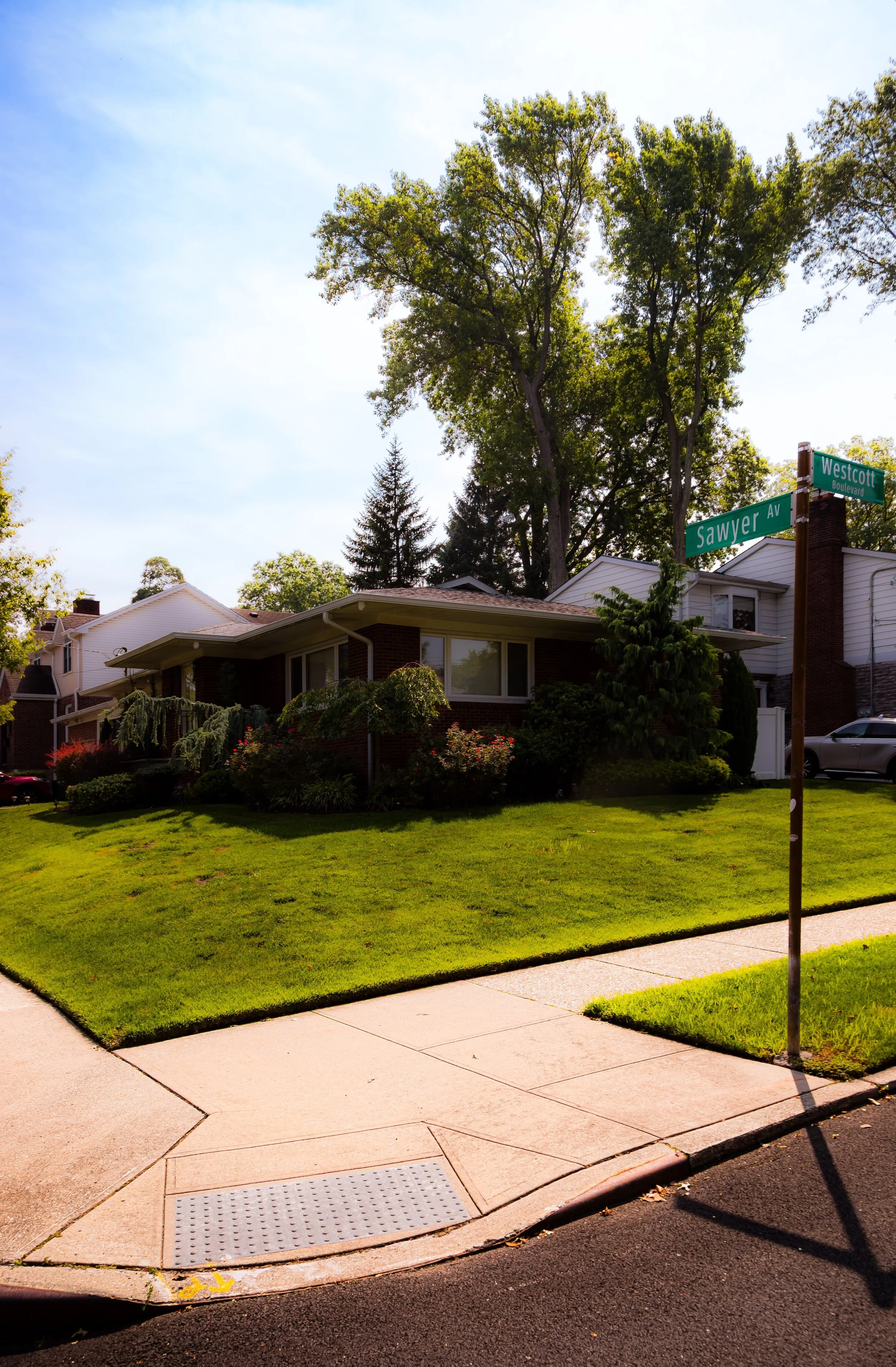
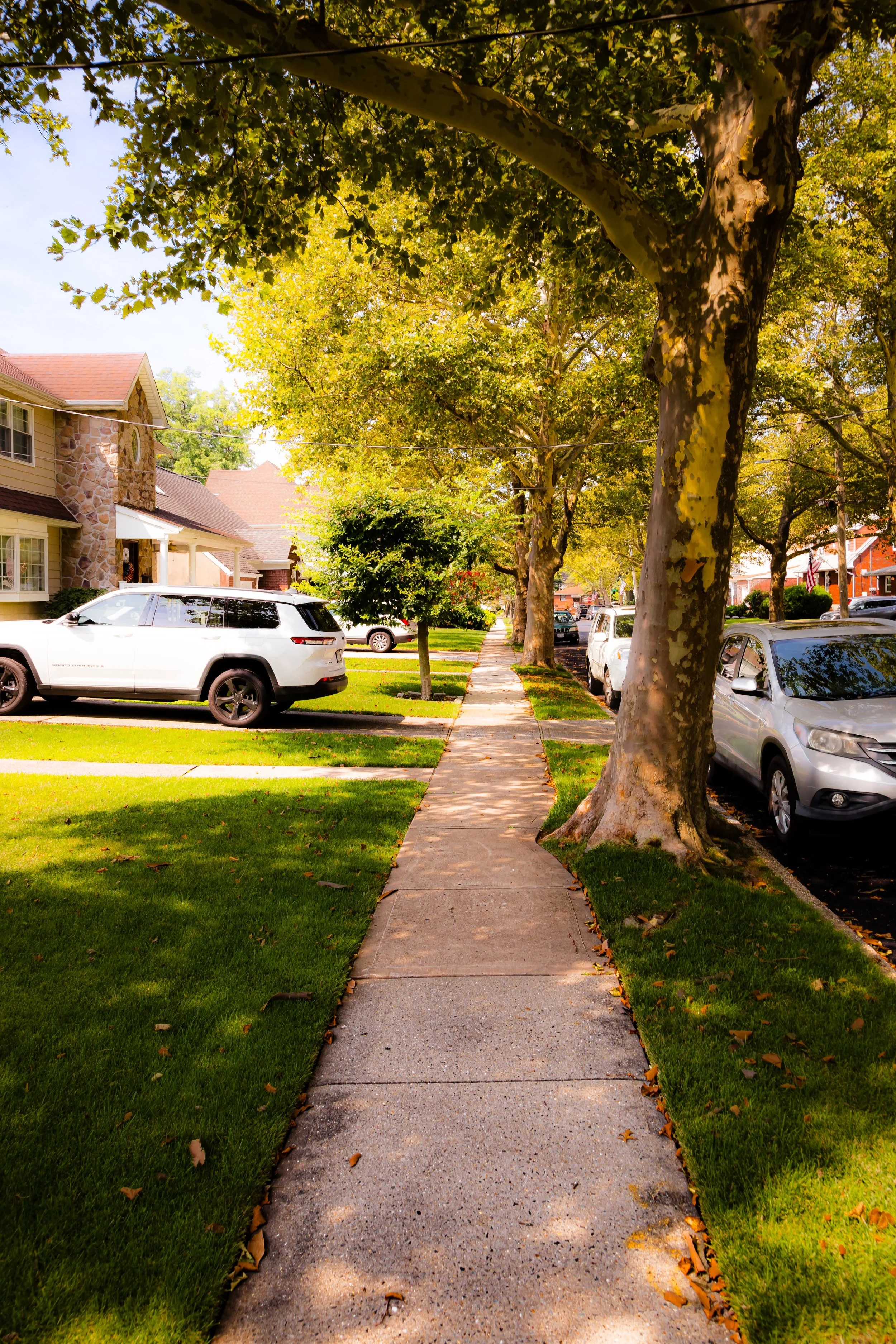
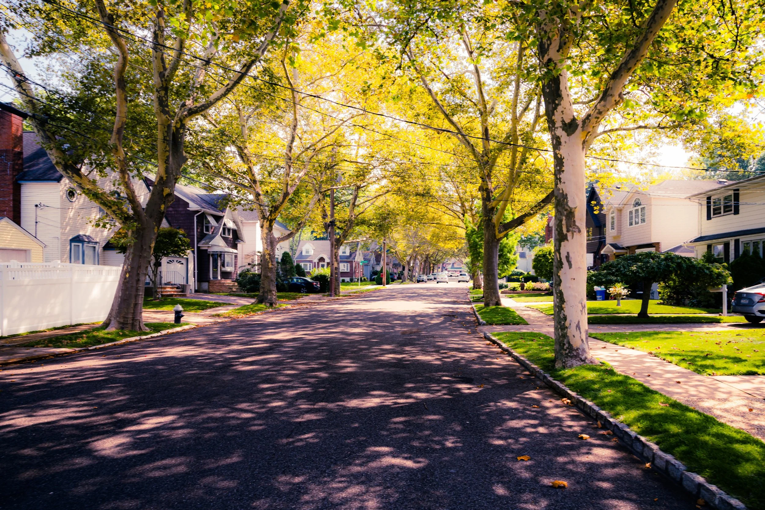
The terrain here rises gently westward from the valleys of Clove Lakes Park, offering shaded streets, mid-century homes, and a mix of older colonials, small apartment houses, and local businesses clustered along Victory Boulevard. This central position makes Castleton Corners a vital node—equally close to Staten Island’s government center in St. George and its suburban greenbelts. Its arterial roads—Victory, Forest, and Slosson—carry a steady pulse of traffic, yet within its interior blocks, a sense of quiet domestic rhythm endures. Nearby parks, schools, and houses of worship lend the neighborhood both accessibility and permanence, anchoring it firmly within the island’s middle landscape.
Etymology
The name Castleton Corners originates from the old Town of Castleton, one of Staten Island’s original four townships before the 1898 consolidation into New York City. Castleton encompassed much of the island’s North Shore, including West Brighton, Silver Lake, and Sunnyside. The term Corners refers to the historic intersection of Victory Boulevard, Manor Road, and Slosson Avenue, which for much of the 19th and 20th centuries served as a primary crossroads for travel across the island.
The word “Castleton” itself derives from Castleton Parish in Dorset, England, reflecting the heritage of early British settlers. Over time, the area’s crossroads identity became its defining feature, and “Castleton Corners” emerged as a name denoting both geography and purpose—a central place of passage, meeting, and community within Staten Island’s growing suburban mosaic.
The Neighborhood
Origins through the 19th Century
In the 18th and early 19th centuries, the land now forming Castleton Corners lay within the fertile inland farms of Castleton Township. The area’s gently rolling hills and freshwater streams, including those that would later feed the ponds of Clove Lakes Park, made it ideal for agriculture. Families of English and Dutch descent farmed the land, producing hay, grain, and dairy products for markets in nearby Richmondtown and the North Shore villages.
As transportation improved, the crossroads at Victory Boulevard (then the Richmond Turnpike) and Manor Road became an essential junction for travelers moving between the ferries at St. George and the south shore hamlets. Inns and taverns arose along the route to serve wagoners and stagecoach passengers. By the mid-19th century, small farmsteads and cottages lined the main roads, while the surrounding land remained rural.
The creation of Clove Lakes Park and the expansion of Forest Avenue in the late 1800s began to shift the area’s identity from farmland to suburb. Wealthier Staten Islanders built homes on the wooded slopes overlooking the valleys, drawn by clean air and proximity to both city and country. The name “Castleton Corners” began appearing on maps as early as the 1870s, designating the growing community around this increasingly busy junction.
Early 20th Century: From Rural Crossroads to Suburban Center
By the early 1900s, Castleton Corners had become a settled residential community, though traces of its rural past remained visible in orchards and open lots. The paving of Victory Boulevard and the arrival of trolley lines connecting Port Richmond and St. George brought new accessibility and commerce. Modest Victorian homes, boarding houses, and corner shops appeared, serving a population that mixed long-established island families with newcomers seeking suburban calm.
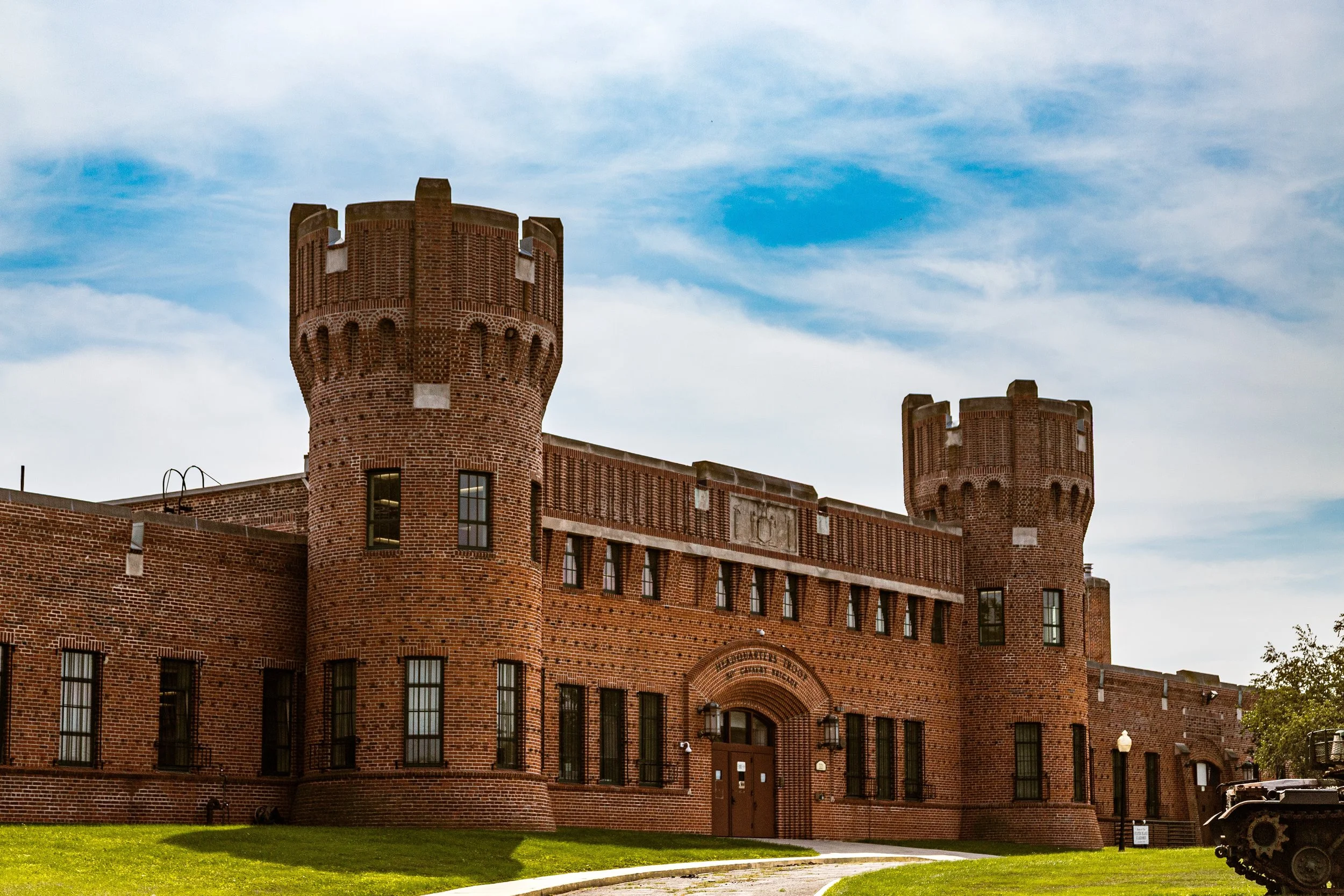
The area’s central position also made it a focal point for civic institutions. In 1919, the Borough Hall Annex was established nearby to decentralize city services. Churches and schools soon followed—St. Teresa’s Roman Catholic Church, founded in 1926, became one of the community’s most enduring anchors, its bell tower visible from the surrounding hills. Local pharmacies, bakeries, and groceries clustered around the Corners, giving the area a distinct “village center” character.
Through the Depression and the World War II years, Castleton Corners retained a sense of steadiness. Its residents, many employed as teachers, tradesmen, or civil servants, nurtured a community known for civility and self-reliance. The trolley lines gave way to buses, but Victory Boulevard remained the beating heart of daily life.
Castleton Corners Video Coming Soon
Mid–Late 20th Century: Expressways and Evolution
The postwar decades brought major change. The Staten Island Expressway, completed in the 1960s, carved across the neighborhood’s southern edge, redefining traffic patterns and accelerating suburban expansion. While some older homes were lost to construction, the expressway also enhanced Castleton Corners’ connectivity—linking it swiftly to the Verrazzano-Narrows Bridge and the island’s growing highway grid.
New schools and apartment complexes rose in the surrounding blocks, including Intermediate School 61 (William A. Morris), while small shopping centers replaced some of the old corner stores. Yet the neighborhood’s essential character remained: a self-contained enclave of quiet streets framed by mature trees, with Clove Lakes Park providing green relief to the east and Willowbrook Park just beyond.
The mid-century suburban ideal was strong here—front lawns, driveways, neighborhood sports leagues, and parish life. Civic associations kept watch over zoning, while the nearby Clove Lakes Health Care and Rehabilitation Center and Richmond University Medical Center provided both employment and essential services. Through the 1970s and 1980s, even as Staten Island’s population surged, Castleton Corners maintained a stable, middle-class identity grounded in family and faith.
21st Century: Central Staten Island in Balance
In the 21st century, Castleton Corners stands as a microcosm of Staten Island’s evolving balance between tradition and transformation. Victory Boulevard remains its commercial lifeline—lined with cafés, small restaurants, medical offices, and long-established family businesses—while the surrounding residential blocks reflect both continuity and renewal. Many homes have been modernized, yet the neighborhood’s architectural scale remains consistent, preserving its sense of human proportion.
Clove Lakes Park, bordering the community’s eastern edge, continues to define its natural identity. The park’s ponds, bridges, and wooded ravines offer respite amid urban life, while its proximity fosters a deep connection between residents and landscape. To the west, the gradual development of Freshkills Park has brought a new ecological horizon—a vast, reborn green space that transforms the island’s image and renews its relationship with nature.
Today, Castleton Corners attracts a diverse population—families of Italian, Irish, Filipino, and South Asian heritage—who share in the neighborhood’s quiet rhythm and civic pride. Its schools, parish halls, and civic groups remain active, ensuring that this central crossroads continues to function as both heart and hinge of Staten Island life.
Castleton Corners Photo Gallery
Spirit and Legacy
The spirit of Castleton Corners is one of constancy and connection. It has never been a place of spectacle or upheaval, but of continuity—a neighborhood defined by steady roots, solid homes, and enduring civic life. From its days as a rural junction on the Richmond Turnpike to its role today as a well-situated residential enclave framed by parks and expressways, it has remained unmistakably Staten Island in character: modest, grounded, and quietly proud.
Its legacy lies in balance—the meeting of the island’s old and new, its urban and pastoral selves.
New York City
Use this custom Google map to explore where every neighborhood in all five boroughs of New York City is located.
The Five Boroughs
One of New York City’s unique qualities is its organization in to 5 boroughs: Manhattan, Brooklyn, Queens, The Bronx, and Staten Island. These boroughs are part pragmatic administrative districts, and part vestiges of the region’s past. Each borough is an entire county in New York State - in fact, Brooklyn is, officially, Kings County, while Staten Island is, officially Richmond County. But that’s not the whole story …
Initially, New York City was located on the southern tip of Manhattan (now the Financial District) that was once the Dutch colony of New Amsterdam. Across the East River, another city was rising: Brooklyn. In time, the city planners realized that unification between the rapidly rising cities would create commercial and industrial opportunities - through streamlined administration of the region.
So powerful was the pull of unification between New York and Brooklyn that three more counties were pulled into the unification: The Bronx, Queens, and Staten Island. And on January 1, 1898, the City of New York unified two cities and three counties into one Greater City of New York - containing the five boroughs we know today.
But because each borough developed differently and distinctly until unification, their neighborhoods likewise uniquely developed. Today, there are nearly 390 neighborhoods, each with their own histories, cultures, cuisines, and personalities - and each with residents who are fiercely proud of their corner of The Big Apple.


