
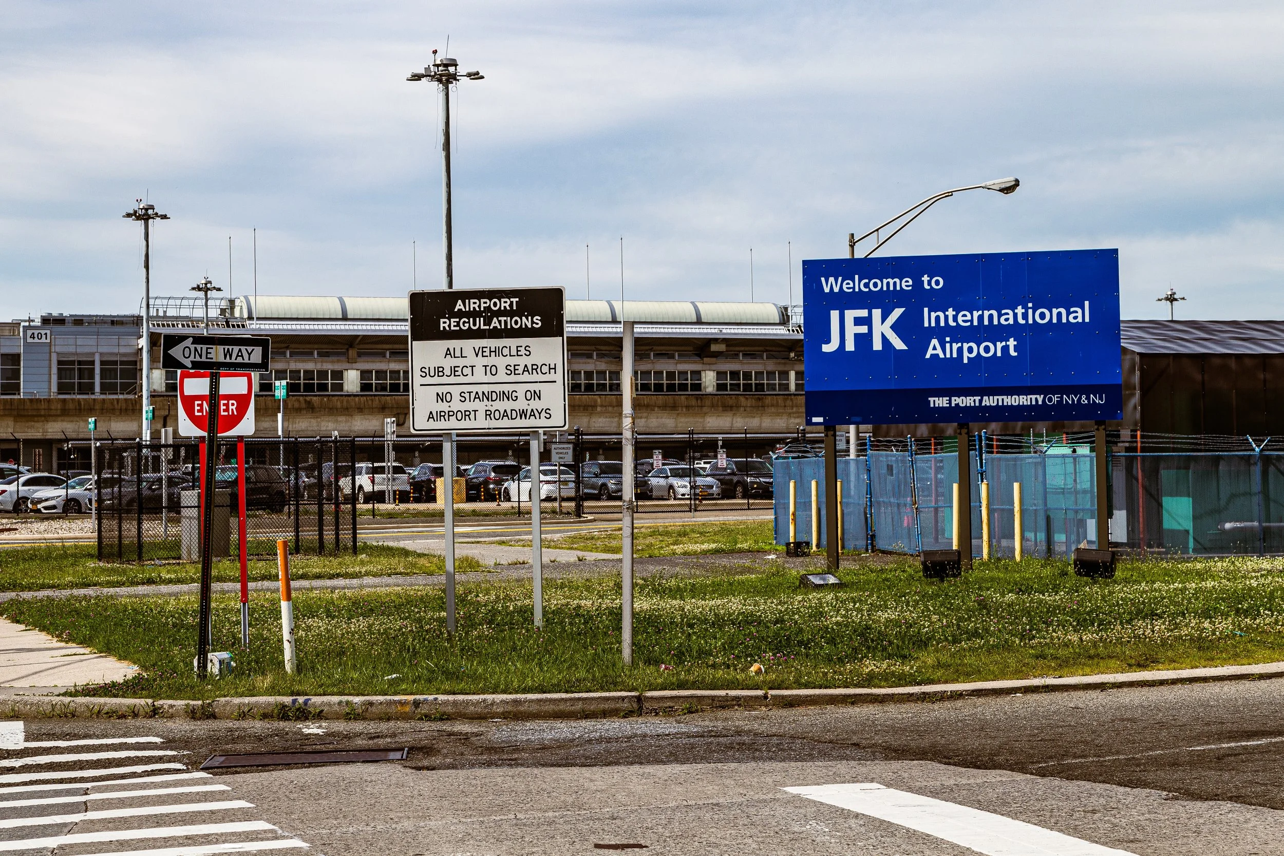
JFK INTERNATIONAL AIRPORT
Queens
Geographic Setting
Occupying more than 5,000 acres at the southeastern edge of Queens, John F. Kennedy International Airport (JFK) is bounded by Rockaway Boulevard and South Ozone Park to the north, Belt Parkway and Bergen Basin to the northwest, Idlewild Park Preserve and Jamaica Bay to the south, and Rosedale and Springfield Gardens to the east. Its runways stretch nearly to the waterline of Jamaica Bay, placing it at the literal and symbolic threshold of New York City—where the land gives way to sea, and the city opens to the world.
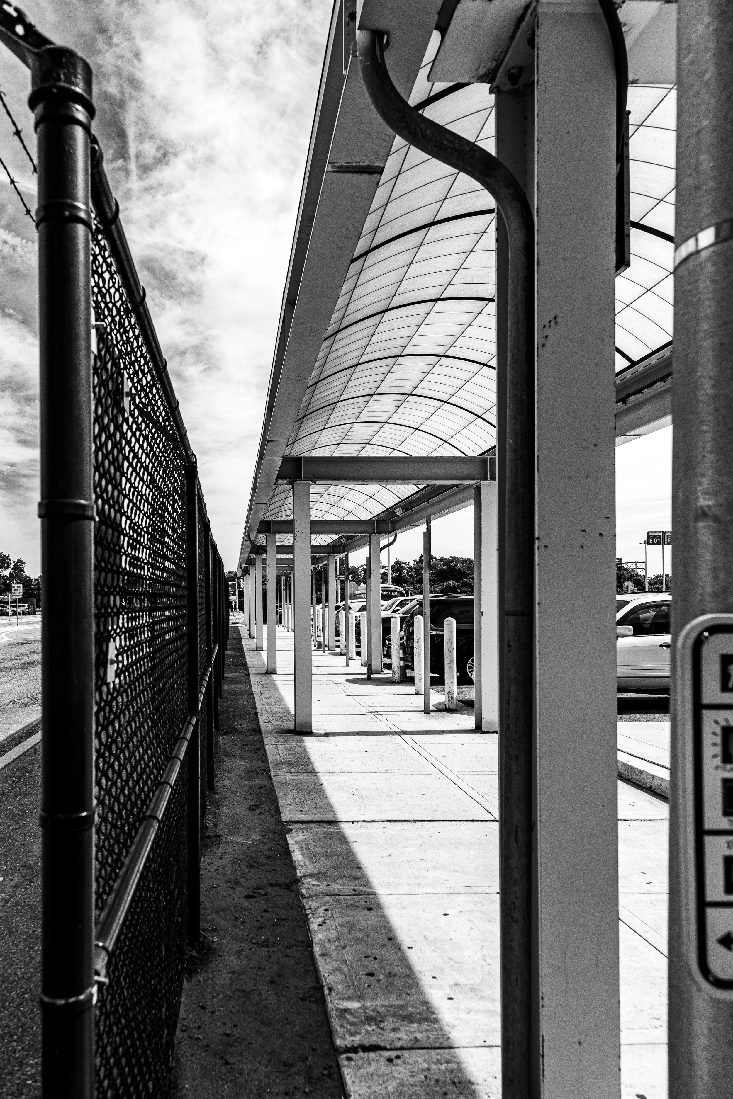
JFK’s vast complex includes six active passenger terminals, four major runways, extensive cargo facilities, AirTrain JFK, and a network of highways and expressways connecting it to the metropolitan region. The Van Wyck Expressway (I-678) serves as the airport’s main gateway from the north, linking directly to the Grand Central Parkway, Long Island Expressway, and Kew Gardens Interchange, while the Belt Parkway wraps around its southern perimeter. Surrounding neighborhoods—South Ozone Park, Springfield Gardens, and Rosedale—form a ring of residential and commercial zones whose identities have long been intertwined with the airport’s growth and soundscape.
From the air, JFK is unmistakable: an intricate choreography of runways, terminals, and taxiways framed by the shimmering expanse of Jamaica Bay. On the ground, it is a global crossroads—the busiest international gateway in the United States and one of the world’s most diverse microcosms, serving over 60 million passengers annually.
Etymology and Origins
The airport’s origins date to the mid-1930s, when the City of New York, under Mayor Fiorello H. La Guardia, sought to build a new municipal airfield to supplement the overcrowded LaGuardia Airport. In 1942, construction began on a 1,000-acre site in the marshlands of southern Queens known as Idlewild, named after the former Idlewild Golf Course and the adjacent Idlewild Beach.
Initially called Idlewild Airport and later Major General Alexander E. Anderson Airport, the field was envisioned as a major commercial hub that would rival Newark and LaGuardia. World War II delayed construction, but by July 1, 1948, the newly named New York International Airport at Idlewild opened to commercial service, with Pan American World Airways and Trans World Airlines (TWA) among its first major tenants.
In 1963, following the assassination of President John F. Kennedy, the airport was renamed in his honor—a decision that symbolized both civic mourning and the city’s embrace of the modern, optimistic spirit that JFK represented. The airport’s official title, John F. Kennedy International Airport, became synonymous with American ambition, progress, and global connection.
The Neighborhood
Mid-20th Century: The Jet Age and Architectural Brilliance
The 1950s and 1960s marked the Jet Age, a period when JFK—then Idlewild—emerged as the primary gateway to the world. Airlines were granted their own signature terminals, resulting in one of the most architecturally distinguished airport landscapes in history. Each carrier sought to embody the glamour and speed of air travel through design.
Among the era’s masterpieces was the TWA Flight Center (1962), designed by architect Eero Saarinen, whose soaring concrete curves evoked the motion of flight itself. Nearby, Pan Am’s Worldport Terminal (1960), with its distinctive flying-saucer roof, captured the futuristic optimism of the space age. The International Arrivals Building, opened in 1957, introduced centralized customs processing, setting a global standard.
The airport’s expansion paralleled America’s ascent as a postwar power. New York became the primary port of entry for immigrants and travelers, and JFK—its runways stretching over the former Idlewild wetlands—stood as both a practical and symbolic threshold: the place where the world met America, and America met the world.
Late 20th Century: Globalization, Security, and Transformation
By the 1970s and 1980s, JFK had cemented its reputation as one of the busiest and most important airports in the world. It was the base of major international carriers such as Pan Am, TWA, and Eastern Airlines, and the starting point for transatlantic routes that defined an era of global mobility.
The surrounding communities—South Ozone Park, Rochdale Village, and Springfield Gardens—experienced both the benefits and burdens of proximity: employment and infrastructure growth, but also noise pollution and traffic congestion. JFK became one of the city’s largest employers, supporting tens of thousands of jobs in aviation, logistics, retail, and maintenance.
In the 1990s, the airport underwent significant modernization. Terminal 4, a massive international hub, opened in 2001, consolidating global carriers under one state-of-the-art roof. Yet this progress coincided with tragedy: the September 11, 2001 terrorist attacks and the crash of American Airlines Flight 587 two months later in nearby Belle Harbor reshaped security protocols and deepened the airport’s connection to national trauma and resilience.
By the early 21st century, AirTrain JFK (opened 2003) revolutionized accessibility, linking terminals to the Howard Beach (A line) and Jamaica (E, J, Z, LIRR) transit hubs. The elevated system integrated the airport into the city’s broader transportation network and alleviated some of the congestion that had long defined the Van Wyck corridor.
JFK Airport Video Coming Soon
21st Century: Renewal and the Global City’s Front Door
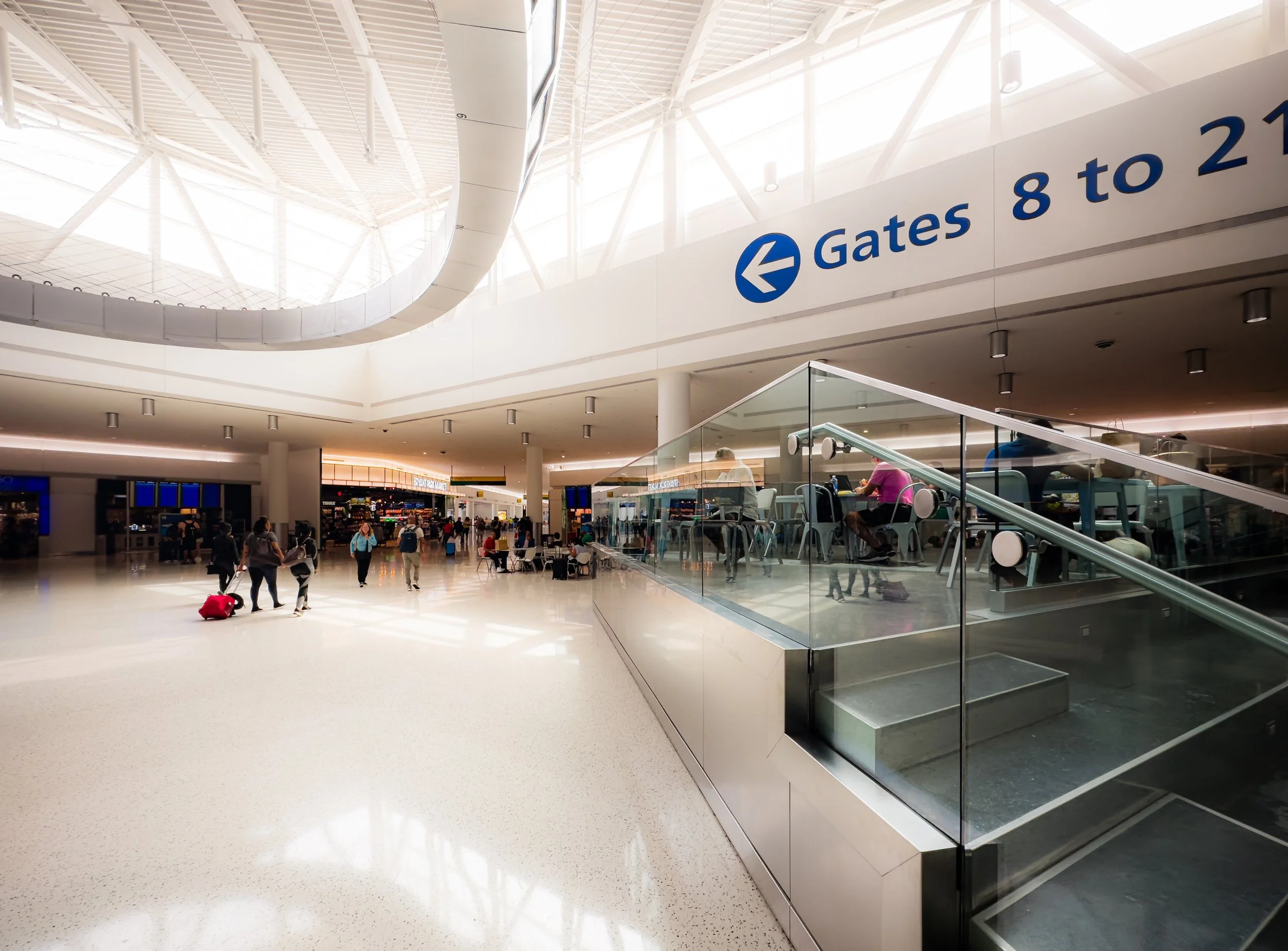
Today, John F. Kennedy International Airport remains both an infrastructure powerhouse and a cultural landmark. Operated by the Port Authority of New York and New Jersey, JFK accommodates over 100 airlines serving destinations on six continents. Its terminals—1, 4, 5, 7, and 8—house a mix of legacy carriers, budget airlines, and global flagships, from Delta Air Lines and American Airlines to British Airways, Emirates, and Singapore Airlines.
In the 2020s, the airport entered a new phase of transformation under the JFK Redevelopment Program, a multi-billion-dollar initiative aimed at unifying the terminal layout, expanding capacity, and reimagining passenger experience. The plan includes construction of the New Terminal One, redevelopment of Terminals 6 and 8, and enhancements to roadways, taxiways, and public amenities. Emphasis on sustainability—solar infrastructure, improved stormwater management, and energy-efficient design—reflects both environmental awareness and the lessons of Hurricane Sandy (2012), which exposed the vulnerability of coastal infrastructure.
Surrounding neighborhoods have likewise adapted. Employment opportunities in logistics, hospitality, and transport continue to anchor local economies, while residents advocate for soundproofing, air-quality improvement, and equitable development through initiatives like the JFK Redevelopment Community Advisory Council.
JFK International Airport Photo Gallery
Spirit and Legacy
The spirit of John F. Kennedy International Airport is one of movement, ambition, and connection. From its humble beginnings in the wetlands of Idlewild to its current status as the gateway to the global city, JFK embodies New York’s restless energy and cosmopolitan reach. It is where refugees arrive, celebrities depart, and millions of ordinary journeys begin and end each year—each one part of the city’s larger story of mobility and reinvention.
At dusk, as the sun sets behind the control tower and aircraft taxi across runways glowing with blue and amber lights, JFK reveals its paradoxical beauty: a space both industrial and poetic, anonymous yet deeply human. It is not merely an airport but a living monument to the idea of New York itself—an ever-open door to the world, powered by hope, progress, and the endless motion of flight.
New York City
Use this custom Google map to explore where every neighborhood in all five boroughs of New York City is located.
The Five Boroughs
One of New York City’s unique qualities is its organization in to 5 boroughs: Manhattan, Brooklyn, Queens, The Bronx, and Staten Island. These boroughs are part pragmatic administrative districts, and part vestiges of the region’s past. Each borough is an entire county in New York State - in fact, Brooklyn is, officially, Kings County, while Staten Island is, officially Richmond County. But that’s not the whole story …
Initially, New York City was located on the southern tip of Manhattan (now the Financial District) that was once the Dutch colony of New Amsterdam. Across the East River, another city was rising: Brooklyn. In time, the city planners realized that unification between the rapidly rising cities would create commercial and industrial opportunities - through streamlined administration of the region.
So powerful was the pull of unification between New York and Brooklyn that three more counties were pulled into the unification: The Bronx, Queens, and Staten Island. And on January 1, 1898, the City of New York unified two cities and three counties into one Greater City of New York - containing the five boroughs we know today.
But because each borough developed differently and distinctly until unification, their neighborhoods likewise uniquely developed. Today, there are nearly 390 neighborhoods, each with their own histories, cultures, cuisines, and personalities - and each with residents who are fiercely proud of their corner of The Big Apple.


