ANNADALE
Staten Island
Geographic Setting
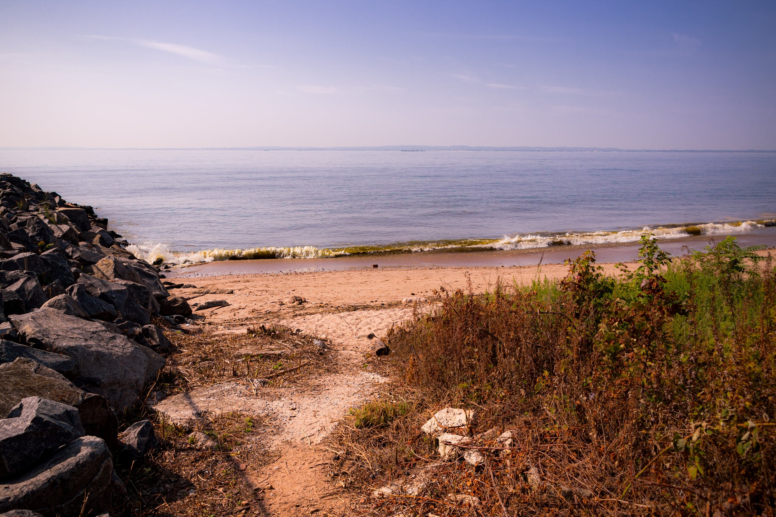
Bounded by Bertram Avenue to the west, Drumgoole Road and the Korean War Veterans Parkway to the north, Annadale Road to the northeast, Arden Avenue to the east, and the Raritan Bay to the south, Annadale occupies a tranquil stretch of Staten Island’s southeastern shoreline. Nestled between Huguenot and Arden Heights, the neighborhood unfolds from wooded uplands and tidy residential streets down to the tidal coves and salt marshes of the Blue Heron Park Preserve—a 222-acre sanctuary that defines much of Annadale’s natural character.
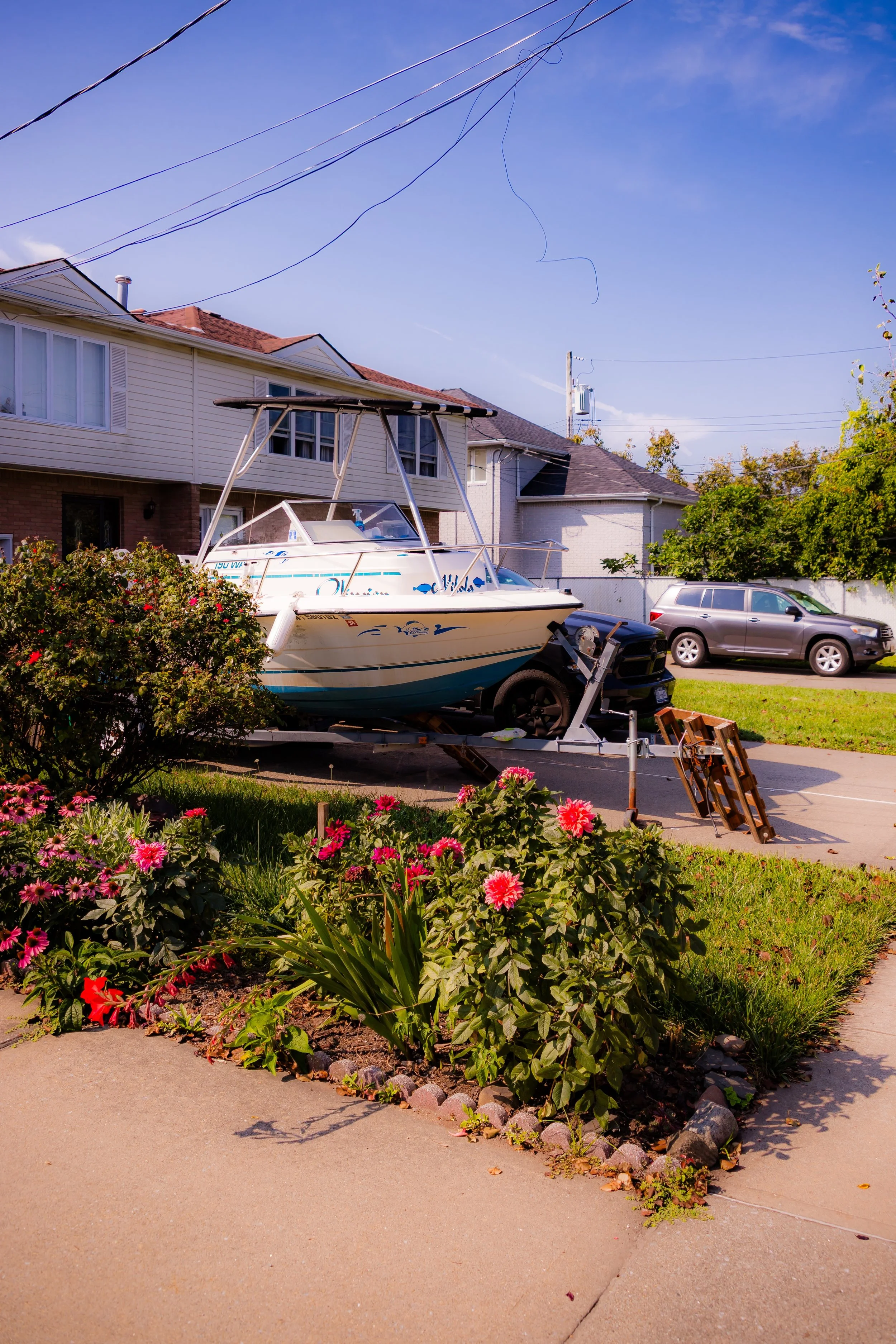
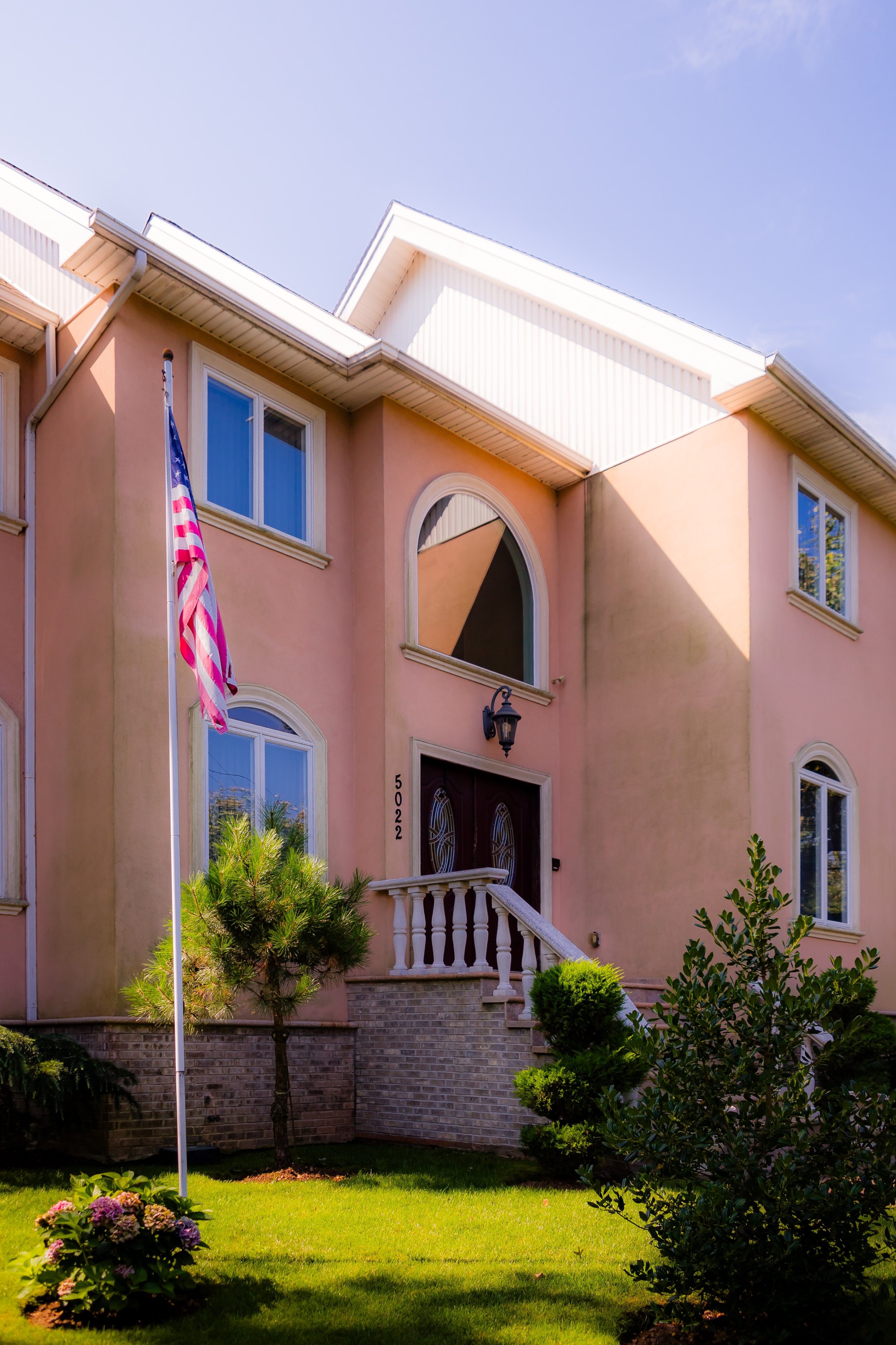
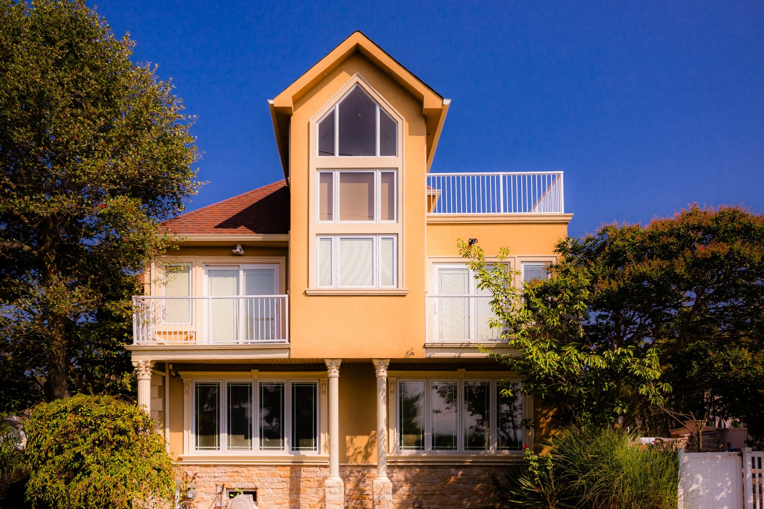
The landscape is a tapestry of mid-century homes, tree-lined avenues, and quiet cul-de-sacs interwoven with greenbelts and preserved wetlands. Annadale Road, the neighborhood’s historic spine, carries local life from the Annadale train station on the Staten Island Railway through its small commercial district—a village-like core of shops, cafés, and family businesses. To the south, the land dips toward the Raritan Bay, where tidal inlets and grassy shorelines remind residents of Staten Island’s maritime past.
Annadale today stands as one of Staten Island’s most peaceful residential enclaves—a place where nature, history, and community coexist in near-perfect balance.
Etymology
The name “Annadale” dates to the 1860s, when the Staten Island Railway opened and developers began establishing new suburban villages along its route. The name is believed to have been inspired by Anna Seguine, a member of the prominent Seguine family, whose estate once dominated the island’s southern shoreline. Combining “Anna” with “dale,” meaning a valley or glen, the name evoked both personal tribute and pastoral charm—an intentional appeal to prospective settlers seeking refuge from Manhattan’s industrial bustle.
This blend of intimacy and landscape—the human and the natural—has remained intrinsic to Annadale’s identity ever since.
The Neighborhood
Origins through the 19th Century
Long before suburban development, Annadale’s land was home to the Lenape, who fished and gathered shellfish along the Raritan Bay and navigated its creeks by canoe. The fertile lowlands and coastal forests later attracted European settlers—primarily Dutch, English, and Huguenot families—who established farms and orchards across southern Staten Island in the 17th and 18th centuries.
By the early 19th century, the area consisted of scattered homesteads and estates connected by Bloomingdale Road and Richmond Valley Road. The Seguine family, whose patriarch James Seguine was among Staten Island’s largest landowners, maintained extensive farmland stretching from Prince’s Bay through Annadale to Huguenot. Their influence extended into politics, commerce, and shipping, shaping the island’s southern economy.
The real turning point came with the opening of the Staten Island Railway in 1860, linking the rural south shore to the St. George Ferry and, by extension, Manhattan. The station at Annadale spurred the creation of a small village, platted with winding streets and modest cottages for middle-class commuters. Its setting—between woods and waterfront—made it particularly attractive for those seeking suburban calm within reach of the city.
By the late 1800s, Annadale was a picturesque enclave of farms, inns, and summer homes, with the Annadale Hotel and local boarding houses serving travelers drawn to its fresh air and seaside charm.
Early 20th Century: Suburb by the Sea
Through the early 20th century, Annadale evolved into a settled residential district while retaining much of its rural tranquility. The construction of Annadale Road as a paved thoroughfare in the 1910s and the improvement of rail service brought steady growth. Small bungalows and two-story homes appeared along tree-lined streets such as Poillon Avenue and Amboy Road, while grocers, barbers, and general stores clustered around the station.
Unlike some neighboring communities that developed industry or denser housing, Annadale remained largely residential, characterized by single-family homes and open tracts of woodland. Families tended gardens, raised poultry, and fished the nearby bay. Churches like St. Patrick’s in Richmondtown and later St. Joseph’s served as community anchors, and local civic organizations promoted clean streets and beautification efforts, establishing the strong neighborhood identity that endures today.
During the interwar decades, the neighborhood’s pastoral character made it a model of the suburban ideal—neither urban nor remote, but a place of quiet domesticity under wide Staten Island skies.
Annadale Video Coming Soon
Mid–Late 20th Century: Suburban Expansion and Environmental Preservation
Annadale underwent its most significant transformation after World War II, as Staten Island entered a period of rapid suburbanization. The construction of the Verrazzano-Narrows Bridge in 1964 brought a new influx of residents from Brooklyn and Manhattan, drawn by affordable housing and the promise of green space.
Developers built brick ranch houses, split-levels, and Colonials across the neighborhood, while maintaining generous lot sizes and preserving mature trees. Yet as residential growth pressed into wetlands and forests, local residents became increasingly concerned about environmental loss. Their activism proved pivotal: in 1974, the city established the Blue Heron Park Preserve, protecting more than 200 acres of woodlands, ponds, and tidal marshes along Annadale’s southern edge. The preserve—home to herons, egrets, turtles, and foxes—stands today as one of Staten Island’s most ecologically diverse habitats.
The Korean War Veterans Parkway, completed in the 1970s, defined Annadale’s northern boundary, connecting the community to Staten Island’s growing highway system while maintaining a buffer of parkland and trees. Throughout these decades, Annadale retained its reputation as one of the borough’s most peaceful and desirable neighborhoods—family-oriented, green, and distinctly suburban in tone.
21st Century: A Neighborhood in Balance
In the 21st century, Annadale continues to balance suburban life with environmental stewardship. Its small commercial center near the Annadale train station remains the social hub, with restaurants, bakeries, and shops that reflect Staten Island’s evolving diversity. Meanwhile, civic associations and environmental groups work together to maintain both the character and the ecology of the area.
Blue Heron Park has become an educational and recreational treasure—its trails, observation decks, and ponds offering residents and visitors an immersive experience in Staten Island’s natural heritage. Seasonal bird migrations and school field trips connect urban families to the rhythms of coastal ecology, reinforcing Annadale’s unique identity as a neighborhood defined as much by preservation as by habitation.
New construction continues at a measured pace, blending modern design with traditional forms. The community remains served by the Staten Island Railway and a network of bus routes, ensuring accessibility while preserving the slower, greener lifestyle that has defined Annadale for more than a century.
Annadale Photo Gallery
Spirit and Legacy
The spirit of Annadale lies in its quiet equilibrium—between the city and the sea, between growth and conservation. It is a neighborhood that has grown without losing its soul, where backyards open to woodlands and children still walk to school beneath the same canopy of oaks and maples that shaded earlier generations.
Its legacy is one of stewardship: from the early settlers who cultivated its fields, to the commuters who built its homes, to the conservationists who fought to protect its wetlands. Together, they created a place where urban life yields gracefully to nature’s persistence.
New York City
Use this custom Google map to explore where every neighborhood in all five boroughs of New York City is located.
The Five Boroughs
One of New York City’s unique qualities is its organization in to 5 boroughs: Manhattan, Brooklyn, Queens, The Bronx, and Staten Island. These boroughs are part pragmatic administrative districts, and part vestiges of the region’s past. Each borough is an entire county in New York State - in fact, Brooklyn is, officially, Kings County, while Staten Island is, officially Richmond County. But that’s not the whole story …
Initially, New York City was located on the southern tip of Manhattan (now the Financial District) that was once the Dutch colony of New Amsterdam. Across the East River, another city was rising: Brooklyn. In time, the city planners realized that unification between the rapidly rising cities would create commercial and industrial opportunities - through streamlined administration of the region.
So powerful was the pull of unification between New York and Brooklyn that three more counties were pulled into the unification: The Bronx, Queens, and Staten Island. And on January 1, 1898, the City of New York unified two cities and three counties into one Greater City of New York - containing the five boroughs we know today.
But because each borough developed differently and distinctly until unification, their neighborhoods likewise uniquely developed. Today, there are nearly 390 neighborhoods, each with their own histories, cultures, cuisines, and personalities - and each with residents who are fiercely proud of their corner of The Big Apple.


