
FRESHKILLS PARK
Staten Island
Geographic Setting
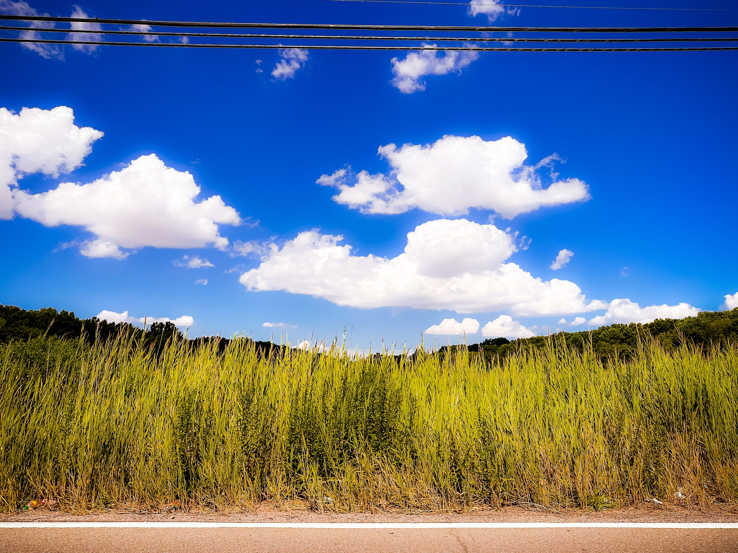
Stretching across 2,200 acres of Staten Island’s western heartland, Freshkills Park occupies the vast reclaimed landscape bounded generally by Victory Boulevard and the Staten Island Expressway to the north, Richmond Avenue to the east, the West Shore Expressway to the west, and Arthur Kill Road and Arden Avenue to the south. Once the site of the world’s largest landfill, the park spans a network of tidal creeks, rolling meadows, forested hills, and restored wetlands. Its five distinct sectors—North Park, South Park, East Park, West Park, and the Confluence—are linked by a central waterway system formed by the meeting of Fresh Kills, Main Creek, and Richmond Creek, whose slow tidal rhythms once defined the area’s natural ecology.
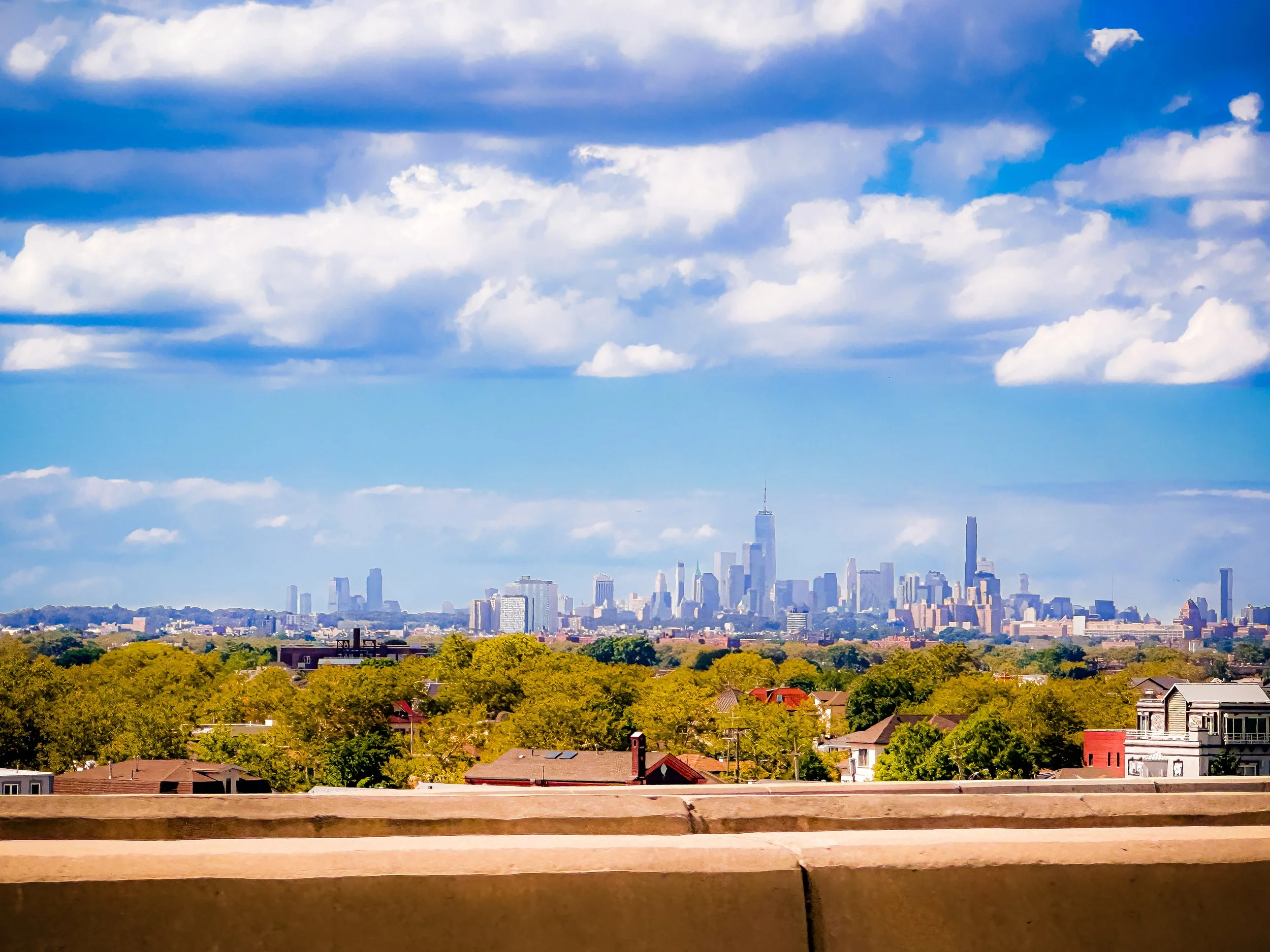
Rising from what was once a barren expanse of refuse, Freshkills Park today forms the largest new park developed in New York City in over a century—nearly three times the size of Central Park. From its grassy summits, visitors can gaze across Staten Island’s patchwork of neighborhoods, the Kill Van Kull, and the distant Manhattan skyline. The transformation of this landscape from landfill to living ecosystem represents one of the most ambitious environmental reclamation projects in the world—a triumph of persistence, engineering, and ecological renewal.
Etymology
The name Fresh Kills derives from the Dutch word “kill,” meaning “creek” or “channel,” a common toponym in the early colonial settlements of the Hudson Valley and New York Harbor. “Fresh Kills” referred to the area’s tidal estuary and its branching streams—distinguishing its fresh, tidal waters from salt marshes elsewhere along the Arthur Kill. For centuries, the name described a living landscape of creeks, wetlands, and meadows teeming with fish and birdlife.
Today, the park retains the historic name to honor the natural system that predated the landfill and to underscore the renewal of those very waters. In its modern form, Freshkills Park fuses the old and the new: an acknowledgment of the site’s fraught past and an emblem of its restored vitality.
The Neighborhood
Origins through the 19th Century: Wetlands of the Island’s West Shore
Before its transformation into a landfill—and long before Staten Island’s urbanization—the Fresh Kills region was a tidal wetland of extraordinary richness. The Lenape people fished its creeks and gathered shellfish from the Arthur Kill; European settlers later drained and diked portions of the marsh for hayfields and grazing pastures. Through the 18th and 19th centuries, the area supported small-scale farms, salt hay operations, and oyster harvesting.
The landscape’s natural hydrology—defined by Fresh Kills Creek and its tributaries—created a complex ecosystem of mudflats, tidal pools, and freshwater channels that sustained migratory birds and marine life. Early maps depict it as a patchwork of marshland and meadow, with scattered farmsteads along Richmond Avenue and Arthur Kill Road. Its relative isolation made it one of the least disturbed natural zones in the city well into the 20th century.
Mid-20th Century: The Landfill Era
The modern history of Fresh Kills began in 1948, when New York City, facing a postwar sanitation crisis, selected the site as a temporary landfill. City planner Robert Moses, then Commissioner of Parks, oversaw the project, claiming the marsh could be filled for just three years before being redeveloped as parkland. Yet the “temporary” solution endured for over half a century.
Over time, the landfill expanded into a sprawling complex of mounds rising over 200 feet, covering more than 2,200 acres—becoming the largest man-made structure on the East Coast and the largest landfill in the world. Each day, thousands of tons of household waste from across New York City were barged to Staten Island and deposited at Fresh Kills, compacted and capped with layers of soil. The operation became both a logistical marvel and an environmental tragedy: a landscape of constant activity, methane flares, and circling gulls, visible from miles away.
For many Staten Islanders, Fresh Kills symbolized neglect—a burden placed on the borough in the name of citywide convenience. Over time, public outcry grew. By the 1970s, the landfill’s environmental and health impacts—odor, air pollution, and water contamination—had become intolerable. Grassroots movements and political leaders demanded its closure, setting in motion a decades-long campaign to reclaim the land and restore the ecosystem.
Freshkills Park Video Coming Soon
Late 20th Century: Closure and Vision for Renewal
After years of protest, Fresh Kills Landfill officially closed in March 2001, marking the end of an era and the beginning of one of the most ambitious environmental restoration projects in the world. Ironically, the site reopened briefly later that year to receive and process debris from the World Trade Center following the September 11 attacks, giving it a solemn place in national memory.
In the wake of closure, city planners and environmentalists faced a monumental challenge: how to transform this engineered landscape of refuse into functioning public parkland. In 2003, the City of New York launched an international design competition, resulting in the selection of James Corner Field Operations—the landscape architecture firm later known for the High Line—to create a comprehensive master plan. Their vision reimagined the landfill as a mosaic of ecological zones, recreational areas, and research sites.
The plan, adopted in 2006, envisioned a 30-year phased development, integrating environmental remediation, habitat restoration, renewable energy generation, and public access. It was the ultimate expression of what urbanist Peter Latz called “landscape healing”: turning sites of industrial degradation into places of life and learning.
21st Century: Reclamation and Regeneration
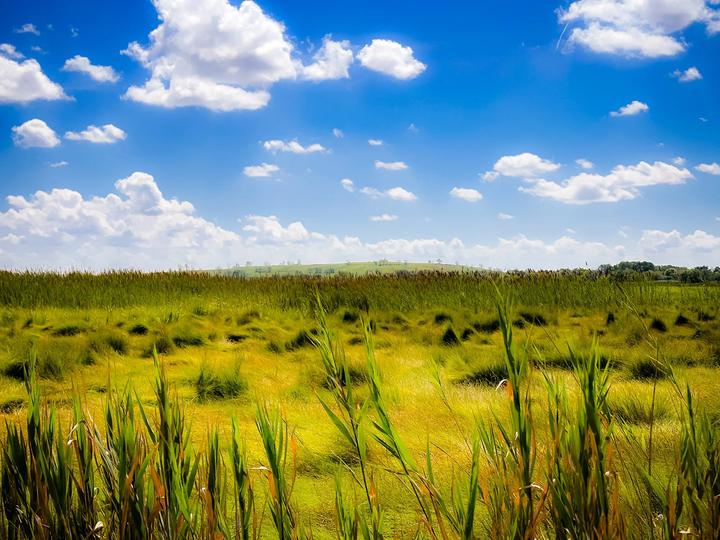
Today, Freshkills Park stands at the forefront of ecological innovation and urban sustainability. Beneath its rolling green hills lies a sophisticated network of environmental infrastructure: gas collection wells, leachate treatment systems, and stormwater controls designed to safely contain and process the remains of the landfill. These systems convert methane into usable energy—enough to power roughly 20,000 New York homes each year—making Freshkills one of the largest renewable energy projects in the city.
Above this engineered foundation, nature has returned with remarkable vigor. Native grasses and wildflowers blanket the capped mounds, providing habitat for foxes, egrets, ospreys, and even bald eagles. Wetlands have been reestablished along the creeks, stabilizing shorelines and improving water quality. The U.S. Geological Survey and NYC Parks Department monitor wildlife populations, soil conditions, and hydrology, making the site a living laboratory for environmental science.
Public access, introduced gradually through guided tours and special events, has expanded with the opening of North Park Phase One (2023), featuring trails, boardwalks, and observation decks overlooking Main Creek. Future phases will include kayak launches, athletic fields, art installations, and extensive hiking and cycling routes connecting to Staten Island’s Greenbelt and Arden Heights Woods.
Each stage of the park’s development underscores its transformation—not just physical but symbolic: from waste to renewal, from exclusion to invitation, from city burden to civic treasure.
Freshkills Park Photo Gallery
Spirit and Legacy
The spirit of Freshkills Park is one of resilience, redemption, and reimagined nature. Nowhere else in New York does the land itself tell such a sweeping story—of exploitation and recovery, of urban excess turned into ecological grace. Its very hills, built from the refuse of millions, now stand as monuments to change: humbling and hopeful, engineered yet alive.
Its legacy extends far beyond Staten Island. Freshkills has become a global model for environmental reclamation and sustainable design—a proof that even the most degraded urban landscapes can become engines of renewal. It embodies a moral and civic transformation: the recognition that healing the environment is inseparable from healing the city itself.
New York City
Use this custom Google map to explore where every neighborhood in all five boroughs of New York City is located.
The Five Boroughs
One of New York City’s unique qualities is its organization in to 5 boroughs: Manhattan, Brooklyn, Queens, The Bronx, and Staten Island. These boroughs are part pragmatic administrative districts, and part vestiges of the region’s past. Each borough is an entire county in New York State - in fact, Brooklyn is, officially, Kings County, while Staten Island is, officially Richmond County. But that’s not the whole story …
Initially, New York City was located on the southern tip of Manhattan (now the Financial District) that was once the Dutch colony of New Amsterdam. Across the East River, another city was rising: Brooklyn. In time, the city planners realized that unification between the rapidly rising cities would create commercial and industrial opportunities - through streamlined administration of the region.
So powerful was the pull of unification between New York and Brooklyn that three more counties were pulled into the unification: The Bronx, Queens, and Staten Island. And on January 1, 1898, the City of New York unified two cities and three counties into one Greater City of New York - containing the five boroughs we know today.
But because each borough developed differently and distinctly until unification, their neighborhoods likewise uniquely developed. Today, there are nearly 390 neighborhoods, each with their own histories, cultures, cuisines, and personalities - and each with residents who are fiercely proud of their corner of The Big Apple.


