
BELLE HARBOR
Queens
Geographic Setting
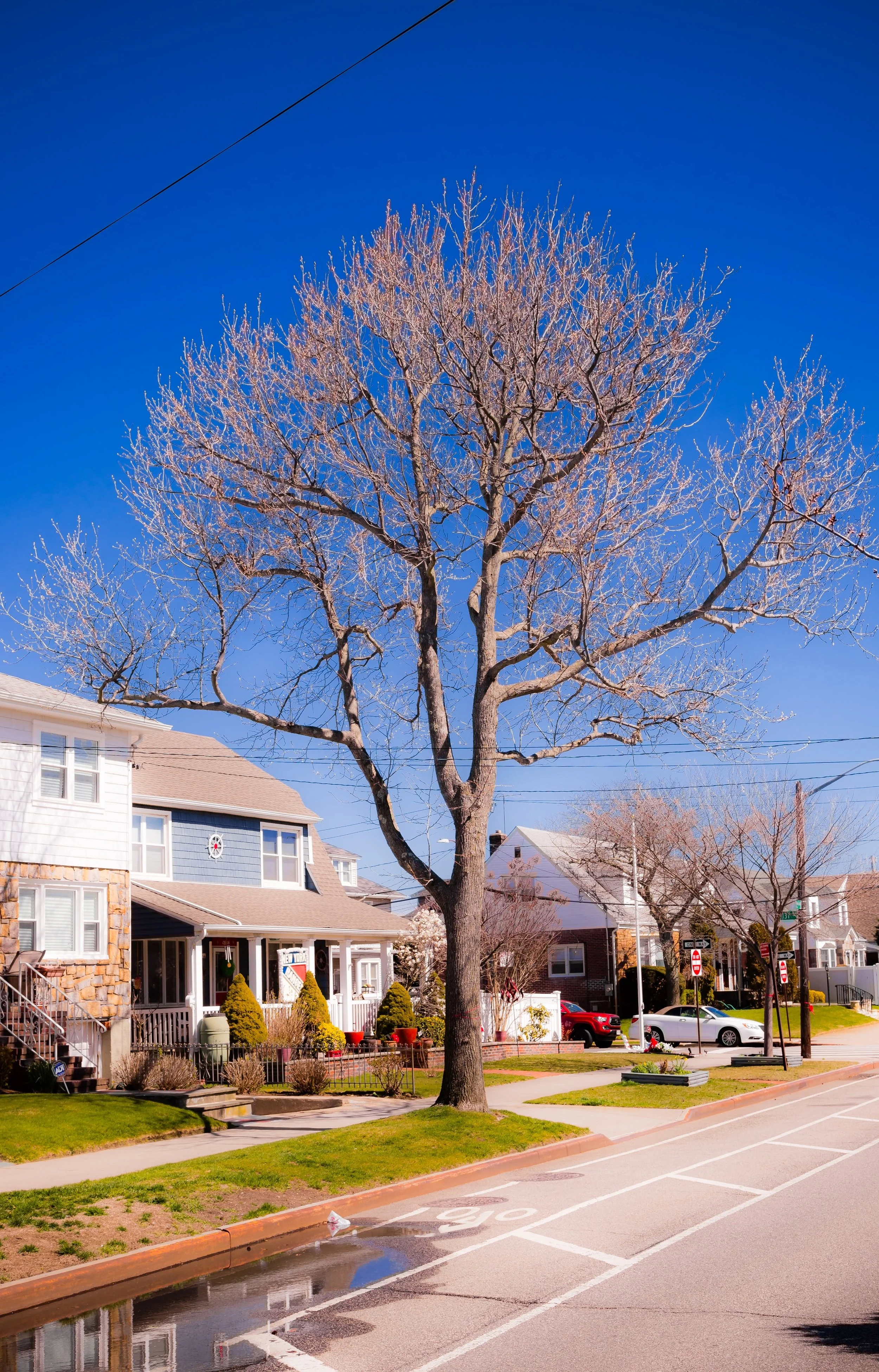
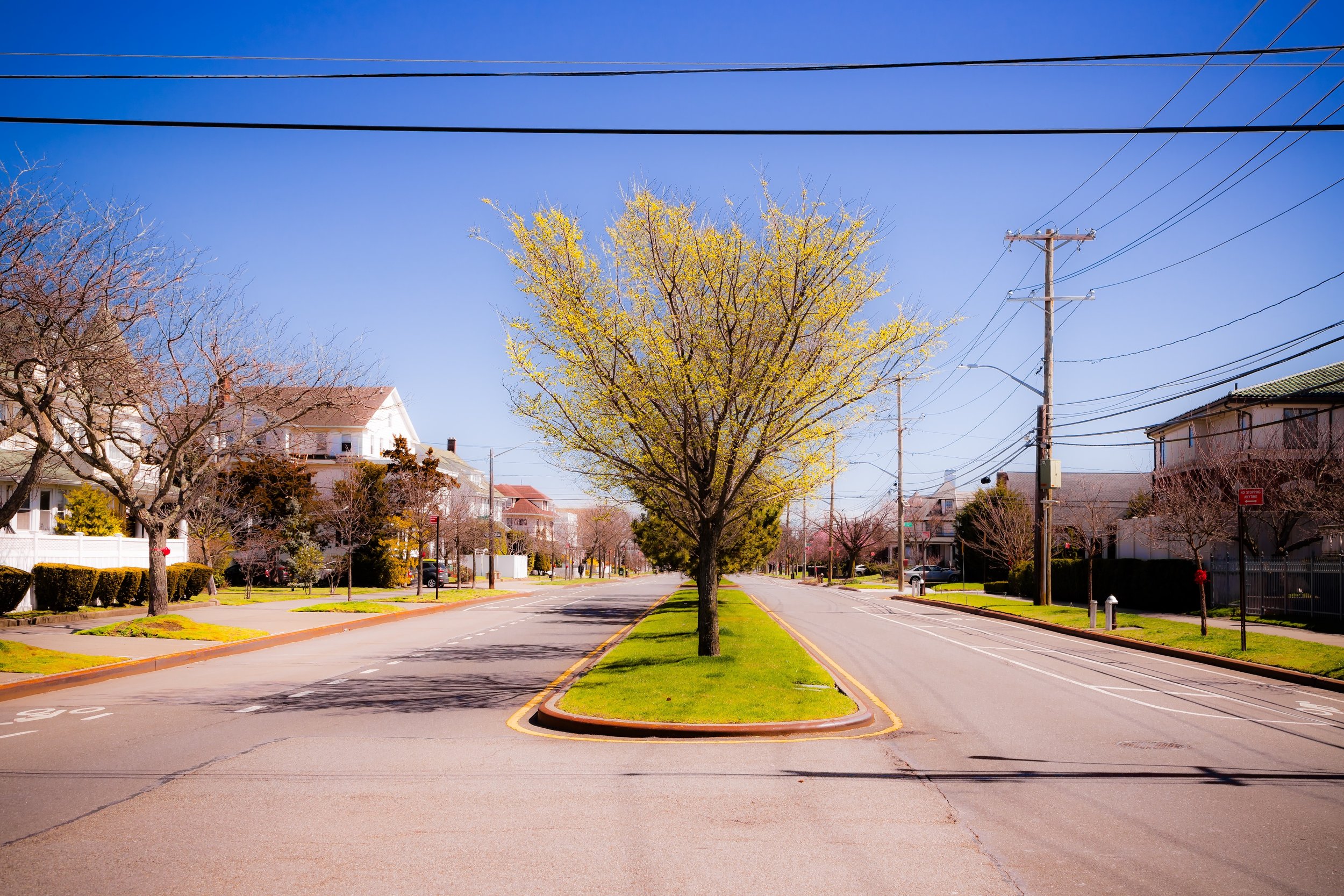
Bounded by Beach 142nd Street to the west, Beach 125th Street to the east, Jamaica Bay to the north, and the Atlantic Ocean to the south, Belle Harbor occupies one of the most scenic and serene stretches of the Rockaway Peninsula. Framed between two bodies of water, it forms a slender residential band of sand and salt air—a neighborhood where sea and sky define every horizon. To the west lies Neponsit, to the east Rockaway Park, and within its boundaries, long, sunlit streets run from surf to bay, crossing dunes, lawns, and shaded sidewalks lined with stately homes.
The grid of Beach 129th Street—Belle Harbor’s commercial and civic heart—serves as its main corridor, linking small local businesses, cafés, and the St. Francis de Sales Church, the neighborhood’s spiritual anchor. Broad, breezy blocks south of Rockaway Beach Boulevard open toward the boardwalk and oceanfront, while the northern edge, along Beach Channel Drive, overlooks the tranquil waters of Jamaica Bay and the Rockaway Inlet. The geography creates an almost insular atmosphere: a maritime enclave suspended between city and sea, where the rhythms of tide and season still shape daily life.
Etymology and Origins
The name “Belle Harbor” was conceived in the early 1900s by real estate developer James S. Remsen of the West Rockaway Land Company, who envisioned an upscale coastal community for professionals seeking resort beauty and suburban peace within the limits of New York City. The name—derived from the French belle (“beautiful”) and the English “harbor”—reflected both the natural scenery of Jamaica Bay and the aspirational elegance of its intended residents.
Before development, the land was part of the Rockaway Peninsula’s windswept dune system—barren stretches of sand, scrub, and saltgrass that separated the Atlantic Ocean from the marshy bayshore. For centuries, the area had been the domain of the Canarsie and Rockaway peoples, who fished its inlets and gathered shellfish along its shores. European settlement arrived in the 17th century, with Dutch and English farmers establishing small homesteads on the peninsula’s interior. By the late 19th century, rail service and improved ferries had transformed the broader Rockaways into a seaside resort belt, but the section that would become Belle Harbor remained largely undeveloped dunes until the early 20th century.
The Neighborhood
Early 20th Century: Planned Seaside Suburb
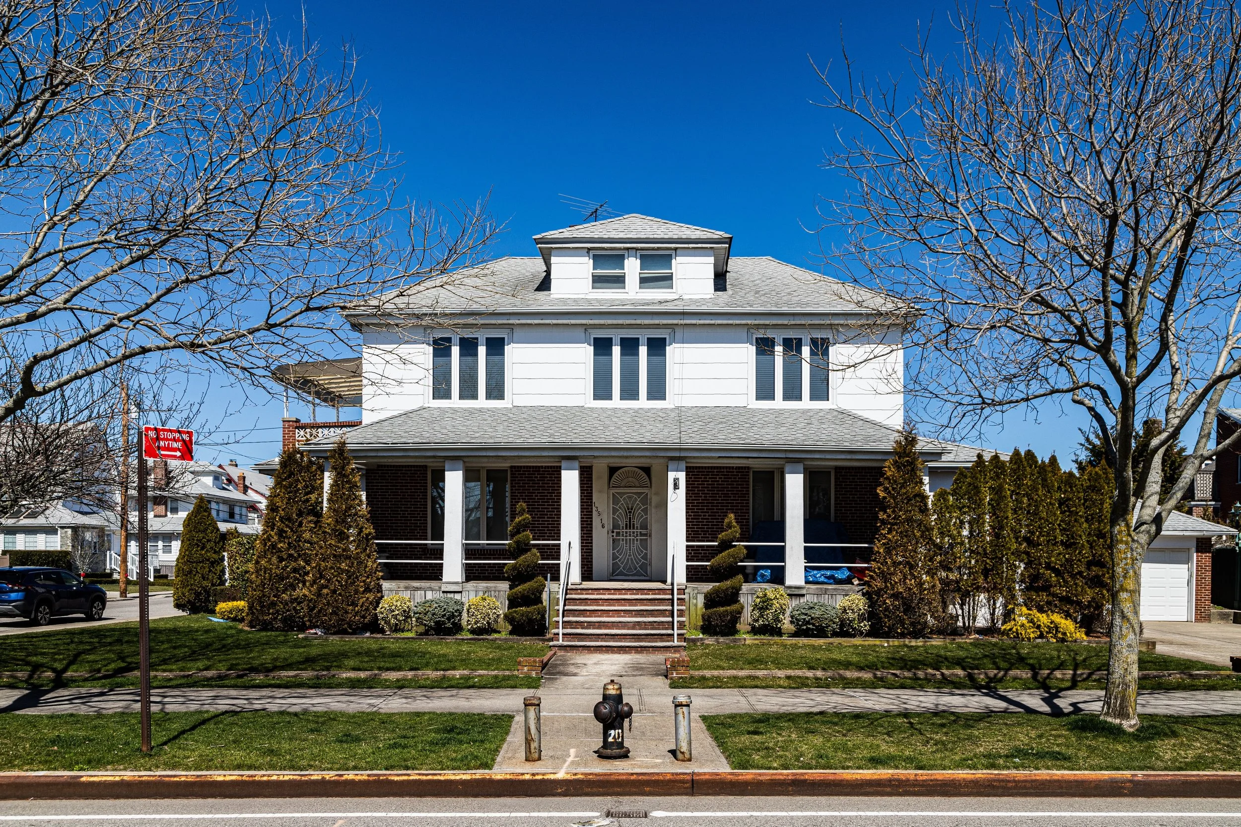
Belle Harbor’s transformation began around 1905, when Remsen and his associates purchased large tracts of undeveloped land between Beach 125th and 142nd Streets. Their plan was to create a high-end residential enclave modeled on the ideals of the “city beautiful” and “garden suburb” movements. Advertisements promised “broad boulevards, ocean breezes, and an atmosphere of distinction.” The Rockaway Beach Division of the Long Island Rail Road, with stations nearby, made commuting to Manhattan possible within an hour—a revolutionary prospect at the time.
By the 1910s, brick and stucco Mediterranean, Colonial, and Tudor-style homes rose along newly graded streets, each with generous setbacks, gardens, and sea views. Belle Harbor attracted middle- and upper-middle-class families—professionals, civil servants, and merchants—drawn by its coastal calm and community ethos. The founding of St. Francis de Sales Roman Catholic Church in 1911 gave the neighborhood its moral and cultural center, anchoring generations of parish life.
To the north, the bayfront offered mooring for small boats, while the oceanfront provided beaches and boardwalks that rivaled those of Coney Island. The development’s layout ensured that nearly every home was within easy walking distance of both the ocean and Jamaica Bay, reinforcing its reputation as one of New York’s premier “double waterfront” neighborhoods.
Mid-20th Century: Prosperity, Community, and Identity
From the 1930s through the 1960s, Belle Harbor flourished as a stable, close-knit community. Though the Rockaways overall transitioned from resort destination to residential borough, Belle Harbor maintained an enduring sense of continuity. Many residents were of Irish and Italian descent, employed in public service—firefighters, police officers, teachers, and city workers—whose shared professions and parish ties fostered an extraordinary sense of solidarity.
The completion of the Marine Parkway Bridge (now the Gil Hodges Memorial Bridge) in 1937 improved access to Brooklyn, while the Cross Bay Bridge connected the Rockaways more directly to the rest of Queens. Despite these infrastructural changes, Belle Harbor retained its low-density charm, resisting the high-rise apartment developments that reshaped much of the Rockaway shoreline after World War II. The neighborhood’s civic associations and parish leadership played active roles in preserving its residential zoning and small-scale character.
Summers brought a distinctive rhythm: families filled the beaches, children played on the boardwalk, and parish picnics, block parties, and local parades reinforced the community’s familial atmosphere. The neighborhood became known informally as one of New York’s “Irish Riviera” enclaves—coastal communities where generations of families vacationed and then settled permanently.
Belle Harbor Video Coming Soon
Late 20th Century: Continuity Through Challenge
The latter half of the 20th century tested Belle Harbor’s resilience. The city’s fiscal crisis of the 1970s and the decline of nearby neighborhoods on the peninsula brought economic pressures, yet Belle Harbor remained remarkably stable thanks to its entrenched homeownership and civic engagement. The Belle Harbor Property Owners Association worked closely with the city to maintain infrastructure, safeguard zoning, and ensure beach upkeep.
Tragedy struck on November 12, 2001, when American Airlines Flight 587 crashed on Beach 131st Street, killing all 260 people aboard and five residents on the ground. The disaster, occurring just two months after September 11, profoundly affected the community—many of whose members were first responders who had already endured immense loss. The memorial on Beach 131st Street, facing Jamaica Bay, stands as a place of mourning and reflection, where annual ceremonies continue to honor the victims.
Despite adversity, Belle Harbor endured, buoyed by its civic spirit and deep communal bonds. Its parish, schools, and local associations remained vital, ensuring the neighborhood’s continuity across generations.
21st Century: Storms, Rebuilding, and Renewal
In October 2012, Hurricane Sandy inflicted unprecedented damage on the Rockaway Peninsula. Belle Harbor’s dual waterfront geography made it particularly vulnerable: storm surge from the Atlantic and backflow from Jamaica Bay inundated homes, destroyed infrastructure, and swept away sections of the boardwalk. Fires fueled by broken gas lines consumed dozens of houses. Yet in the months and years that followed, the community’s recovery became emblematic of the Rockaways’ broader resilience.
Homeowners rebuilt with elevated foundations and flood-resistant designs, often preserving the architectural charm of earlier eras while integrating modern safeguards. The city’s massive reconstruction of the Rockaway Boardwalk, completed in 2017, reconnected Belle Harbor to its oceanfront identity, with dunes restored and reinforced against future storms. The Beach Channel Drive and Rockaway Beach Boulevard corridors were modernized, and parks and playgrounds reopened, ensuring public life’s full return.
Today, Belle Harbor stands renewed—its rebuilt homes gleaming in the salt air, its community once again vibrant. The blend of tradition and renewal defines its 21st-century character: a place where continuity and compassion have turned loss into strength. The neighborhood remains one of New York’s most cohesive coastal communities, prized for its sense of belonging and its breathtaking natural setting.
Belle Harbor Photo Gallery
Spirit and Legacy
Belle Harbor’s story is one of beauty and resilience—belle not just in name, but in spirit. From its early days as a seaside experiment in suburban living to its rebirth after storms and tragedy, it has embodied the endurance of community on the city’s edge. Its people—many second- or third-generation residents—continue to anchor its identity as a haven of faith, service, and civic pride.
New York City
Use this custom Google map to explore where every neighborhood in all five boroughs of New York City is located.
The Five Boroughs
One of New York City’s unique qualities is its organization in to 5 boroughs: Manhattan, Brooklyn, Queens, The Bronx, and Staten Island. These boroughs are part pragmatic administrative districts, and part vestiges of the region’s past. Each borough is an entire county in New York State - in fact, Brooklyn is, officially, Kings County, while Staten Island is, officially Richmond County. But that’s not the whole story …
Initially, New York City was located on the southern tip of Manhattan (now the Financial District) that was once the Dutch colony of New Amsterdam. Across the East River, another city was rising: Brooklyn. In time, the city planners realized that unification between the rapidly rising cities would create commercial and industrial opportunities - through streamlined administration of the region.
So powerful was the pull of unification between New York and Brooklyn that three more counties were pulled into the unification: The Bronx, Queens, and Staten Island. And on January 1, 1898, the City of New York unified two cities and three counties into one Greater City of New York - containing the five boroughs we know today.
But because each borough developed differently and distinctly until unification, their neighborhoods likewise uniquely developed. Today, there are nearly 390 neighborhoods, each with their own histories, cultures, cuisines, and personalities - and each with residents who are fiercely proud of their corner of The Big Apple.


