NORWOOD
The Bronx
Geographic Setting
Bounded by Webster Avenue to the southeast, East Mosholu Parkway to the southwest, West Gun Hill Road and Jerome Avenue to the northwest, and Van Cortlandt Park to the north, Norwood lies at the geographic center of the Bronx yet feels distinctly village-like—a pocket of calm framed by parkland, parkways, and stately prewar architecture. It serves as both a crossroads and a sanctuary: the transition point between the Bronx’s bustling midsection and its northern greenbelt.
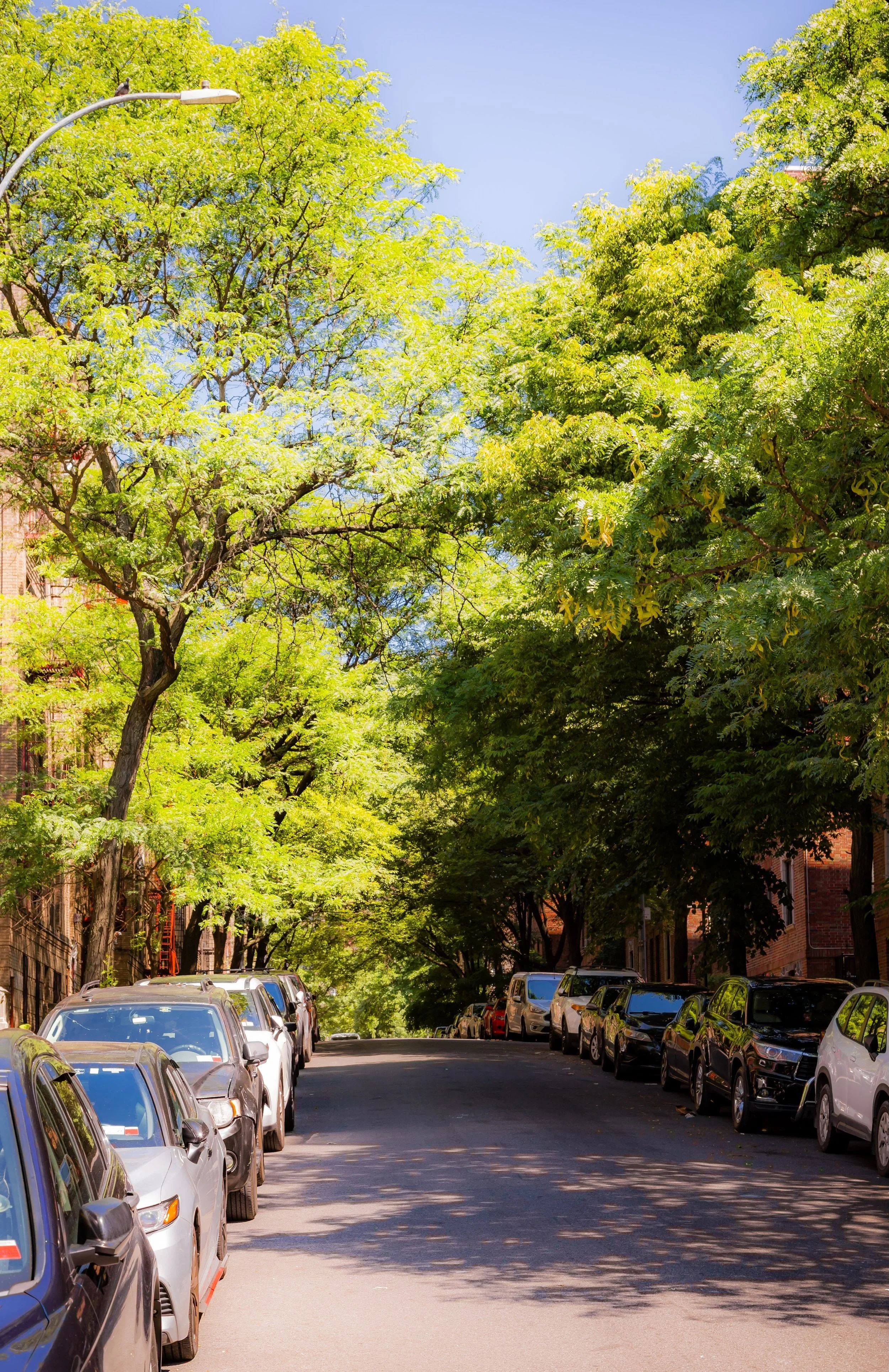
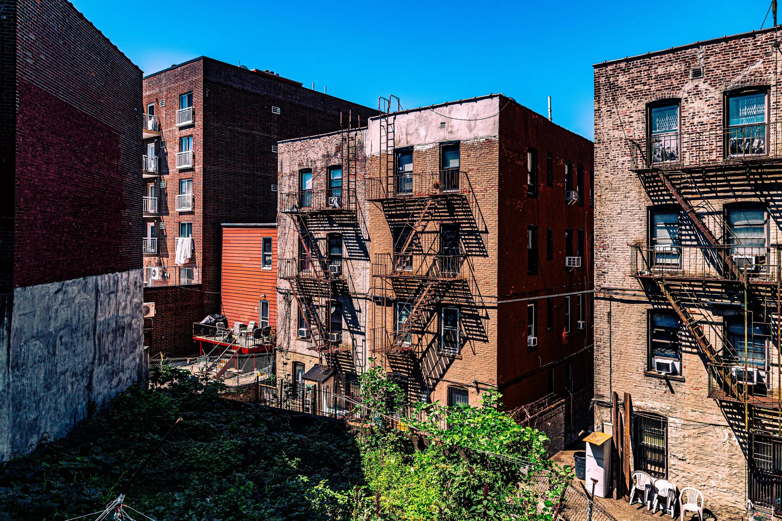
The neighborhood’s form follows its natural topography. Streets rise gently from Webster Avenue toward Mosholu Parkway, a landscaped corridor that connects Bronx Park to Van Cortlandt Park. Jerome Avenue, lined with shops, auto services, and the elevated 4 train, defines its western edge, while Gun Hill Road acts as a northern thoroughfare connecting east-west transit. Within these boundaries lies a dense but leafy residential grid of five- and six-story prewar apartment houses, brick rowhomes, and tree-lined side streets, punctuated by small parks and institutions like Montefiore Medical Center, St. Brendan’s Church, and Williamsbridge Oval Park—Norwood’s social and geographical heart.
From the winding greens of the Oval to the rhythmic hum of trains at Mosholu Parkway Station, Norwood’s geography embodies what has long defined it: urban energy tempered by parkland peace.
Etymology
The name “Norwood” first appeared in the 1870s, likely coined by early developers as a marketing term meaning “north woods”—a reference to the forested hills and oak groves that once dominated the area. Before urbanization, it was known simply as part of Williamsbridge, after the colonial-era settlement along the Bronx River. When the neighborhood’s own identity emerged in the late 19th century, “Norwood” captured both its location at the northern edge of early Bronx urbanization and its sylvan character—a hint of rustic seclusion within reach of the growing city.
Alternative local lore suggests the name may have derived from Andrew Norwood, a 19th-century landowner, but historical records more strongly support its descriptive, nature-based origin.
The Neighborhood
Origins through the 19th Century
The area that became Norwood was originally part of the sprawling Valentine and Williams family estates—rolling farmland, meadows, and woodlots stretching north to Van Cortlandt Park. For much of the 18th and early 19th centuries, this land remained rural, accessible only by rough country lanes. The completion of the New York and Harlem Railroad (1840s) and the Jerome Park Reservoir (1890s) began to reshape the district, making it attractive to commuters and developers.
In the 1860s–1870s, following the annexation of western Bronx lands to New York City (1874), the neighborhood was subdivided for modest suburban housing. The area around today’s East 204th Street and Bainbridge Avenue—then still part of Williamsbridge—became a small village of frame houses, workshops, and local stores. Developers adopted the name “Norwood” to distinguish this pocket from the larger Williamsbridge settlement to the east.
By the 1890s, trolley lines along Webster Avenue and new roads connected Norwood to Fordham and Bedford Park, setting the stage for the neighborhood’s transformation from farmland to urban enclave.
Early 20th Century: Urban Growth and Civic Design
The early 20th century saw Norwood fully integrated into the urban Bronx. The construction of Mosholu Parkway (completed 1911), part of the grand Bronx park system designed by John Mullaly and inspired by Frederick Law Olmsted, gave the neighborhood its defining western and southern boundary. The parkway’s tree-lined promenades linked Van Cortlandt Park to Bronx Park, creating a continuous ribbon of greenery that established Norwood’s identity as both urban and pastoral.
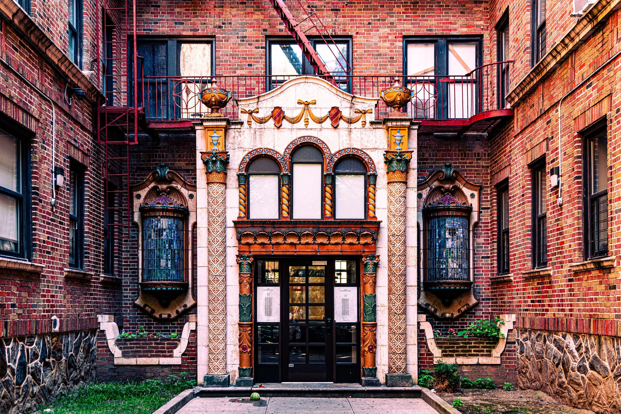
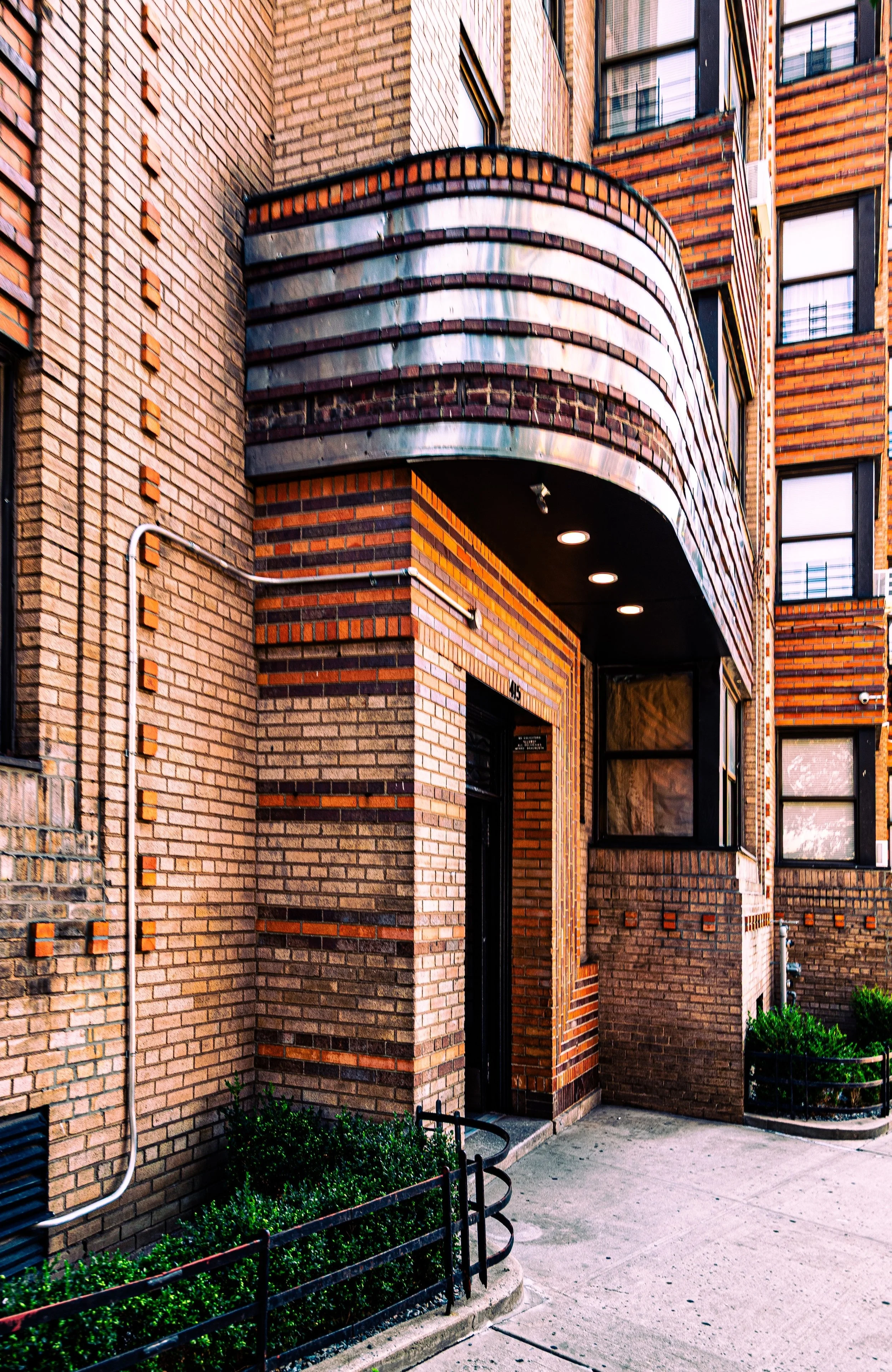
By the 1910s–1930s, Norwood was densely built with prewar apartment houses—many in Art Deco, Tudor Revival, or neo-Renaissance styles—constructed to house the borough’s growing working- and middle-class population. Residents were predominantly Irish, Italian, and Jewish, many working in nearby institutions such as the New York Botanical Garden, the Bronx Zoo, or the rapidly expanding Montefiore Hospital, established at Gun Hill Road and Bainbridge Avenue in 1913.
At the neighborhood’s core stood Williamsbridge Oval Park, built on the site of the former Williamsbridge Reservoir (decommissioned 1934). Designed by the Works Progress Administration (WPA) and opened in 1937, the Oval became Norwood’s civic jewel—featuring a recreation center, athletic fields, and landscaped promenades. Its curved terraces and classic stonework mirrored the Art Deco grace of surrounding apartment buildings, uniting the community around recreation and civic pride.
Norwood Video Coming Soon
Mid–Late 20th Century: Transformation and Tenacity
Following World War II, Norwood experienced the same demographic and economic shifts that redefined the Bronx. The original European immigrant populations gradually gave way to Puerto Rican, African-American, and later Dominican and Bangladeshi residents. The construction of the Cross Bronx Expressway (1948–1972) disrupted southern connections but left Norwood largely intact.
During the 1970s Bronx crisis, Norwood endured hardship—arson, disinvestment, and crime—but never collapsed. Its proximity to major institutions like Montefiore Medical Center provided economic stability, while the tightly knit grid of cooperative apartment buildings and active tenant associations prevented the mass abandonment seen farther south. Community organizations such as the Mosholu Preservation Corporation (est. 1981) led revitalization efforts, renovating buildings, improving commercial corridors, and promoting small businesses along Bainbridge Avenue and East 204th Street.
Even at the Bronx’s nadir, Norwood remained a pocket of endurance. The Oval’s athletic fields stayed open, local schools functioned, and the parish of St. Brendan’s Church (built 1908) continued to serve as a moral and social center.
21st Century: Renewal, Diversity, and Community Strength
Today, Norwood is one of the Bronx’s most stable and diverse neighborhoods—home to long-established families and new immigrants alike. Its population includes large Dominican, Albanian, Ghanaian, Bangladeshi, and Puerto Rican communities, whose cultural traditions have blended into a dynamic street life. Along Bainbridge Avenue, East 204th Street, and Jerome Avenue, small groceries, halal butchers, Dominican bakeries, and West African cafés coexist in an urban mosaic that reflects the Bronx’s global identity.
Architecturally, much of Norwood’s prewar fabric remains intact. Restored apartment buildings, refurbished parks, and new mixed-income housing developments have reinforced the neighborhood’s continuity. Williamsbridge Oval Park remains the community’s beating heart—hosting outdoor concerts, sports leagues, and farmers’ markets—while Montefiore Medical Center stands as both an employer and a symbol of institutional longevity.
Civic engagement remains strong: organizations like the Mosholu Preservation Corporation, Bronx Community Board 7, and numerous tenant groups continue to advocate for affordable housing, environmental improvements, and public safety. The nearby Norwood–205th Street and Mosholu Parkway subway stations keep the neighborhood connected to Manhattan and the wider Bronx, sustaining its dual identity as both a commuter hub and a self-contained community.
Norwood Photo Gallery
Spirit and Legacy
The spirit of Norwood lies in its quiet endurance—a blend of working-class determination, neighborhood pride, and cultural pluralism that has weathered every phase of the Bronx’s turbulent history. Its parks and parkways give it air and rhythm; its apartment blocks and small businesses give it soul.
New York City
Use this custom Google map to explore where every neighborhood in all five boroughs of New York City is located.
The Five Boroughs
One of New York City’s unique qualities is its organization in to 5 boroughs: Manhattan, Brooklyn, Queens, The Bronx, and Staten Island. These boroughs are part pragmatic administrative districts, and part vestiges of the region’s past. Each borough is an entire county in New York State - in fact, Brooklyn is, officially, Kings County, while Staten Island is, officially Richmond County. But that’s not the whole story …
Initially, New York City was located on the southern tip of Manhattan (now the Financial District) that was once the Dutch colony of New Amsterdam. Across the East River, another city was rising: Brooklyn. In time, the city planners realized that unification between the rapidly rising cities would create commercial and industrial opportunities - through streamlined administration of the region.
So powerful was the pull of unification between New York and Brooklyn that three more counties were pulled into the unification: The Bronx, Queens, and Staten Island. And on January 1, 1898, the City of New York unified two cities and three counties into one Greater City of New York - containing the five boroughs we know today.
But because each borough developed differently and distinctly until unification, their neighborhoods likewise uniquely developed. Today, there are nearly 390 neighborhoods, each with their own histories, cultures, cuisines, and personalities - and each with residents who are fiercely proud of their corner of The Big Apple.


