CROTONA
The Bronx
Geographic Setting
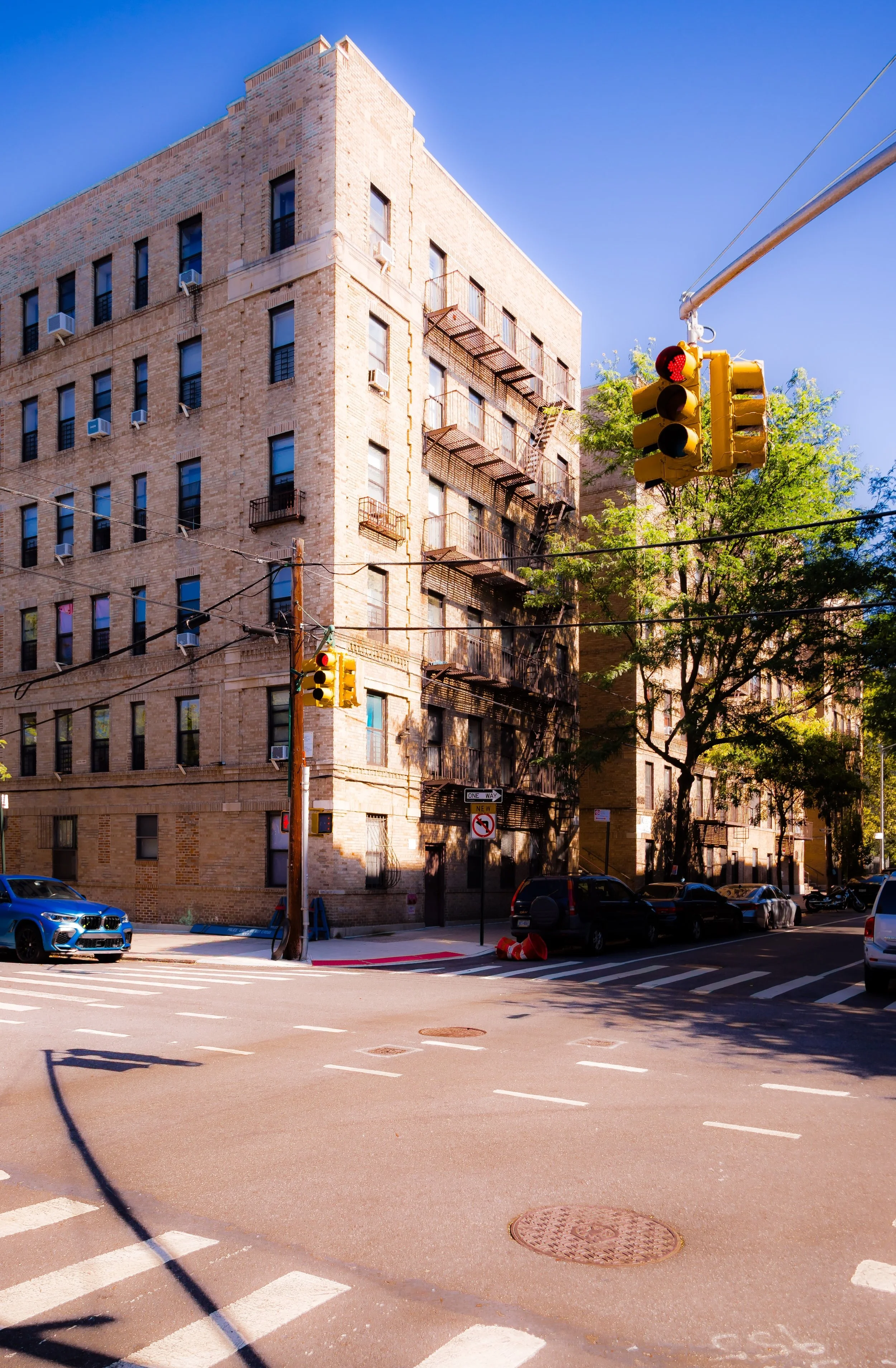
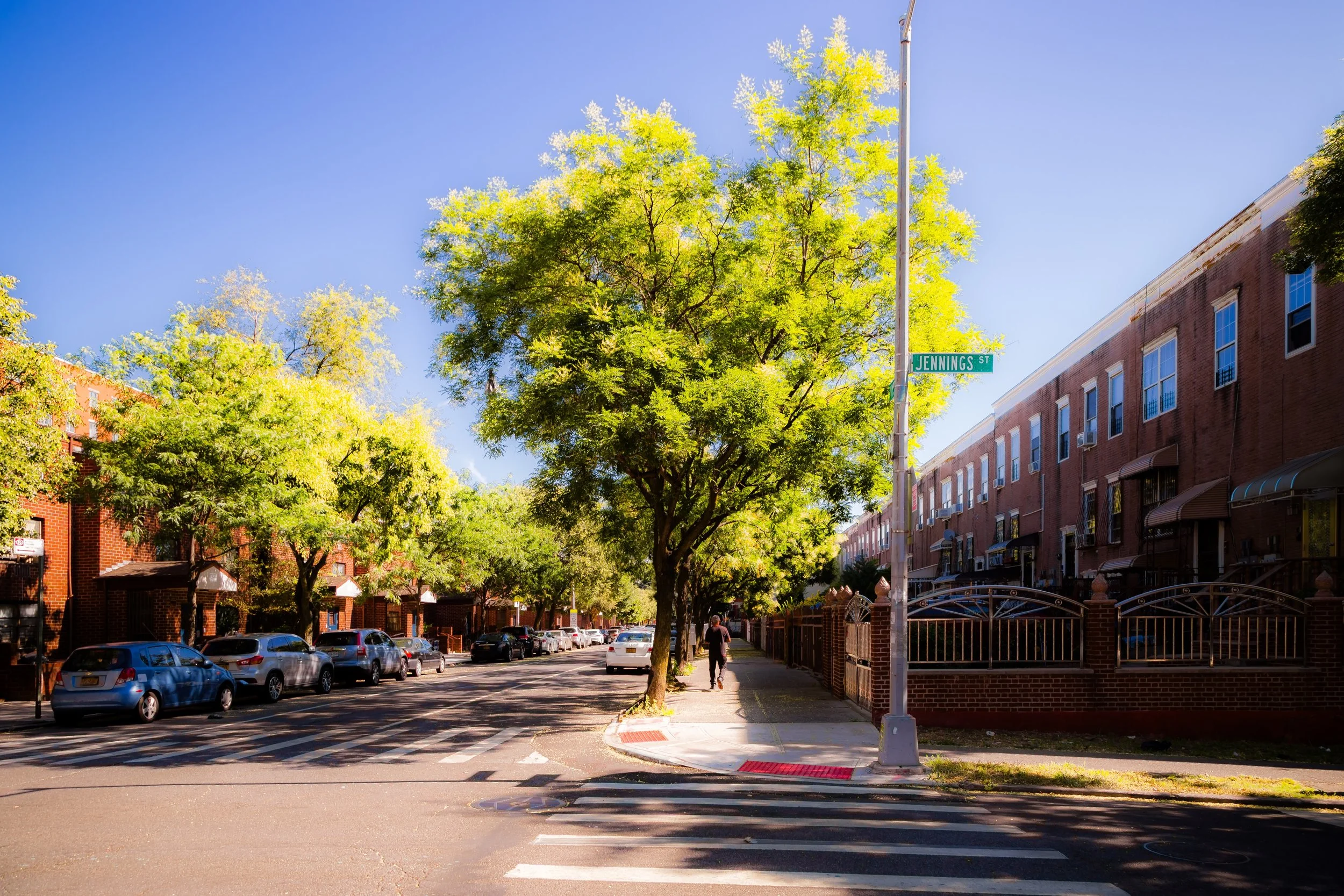
Bounded by the Cross Bronx Expressway to the north, Sheridan Boulevard to the east, Freeman Street to the south, Louis Niñé Boulevard to the southwest, and Crotona Park to the west, Crotona lies in the geographic and emotional heart of the South Bronx. The neighborhood sits on a rolling plateau east of the Bronx River, framed by expressways yet animated by the enduring green of Crotona Park, the borough’s largest park south of Pelham Bay. Its streets—Charlotte Street, Clinton Avenue, Vyse Avenue, and Crotona Avenue—thread through a dense mix of prewar apartment houses, modern infill developments, and public housing that bear witness to both the neighborhood’s early 20th-century vitality and its late 20th-century rebirth.
Crotona’s western border along Crotona Park provides a defining presence: 127 acres of lawns, lakes, ballfields, and the Crotona Park Pool, a 1936 Works Progress Administration landmark. The park’s elevated terrain offers rare vistas over the South Bronx, while its surrounding grid—especially along Crotona Park East—forms a transitional space where residential blocks meet the open green. To the east, the Sheridan Expressway marks the boundary with Hunts Point, its conversion into a surface boulevard now reconnecting Crotona to the Bronx River waterfront after decades of separation.
Etymology
The name “Crotona” derives from Croton, a classical Greek colony in southern Italy celebrated in antiquity for its scholars and athletes. The name first appeared in the mid-19th century when Andrew Bathgate, a Scottish immigrant who owned a large estate in the area, named his property “Crotona Park” to evoke European sophistication and cultured refinement. When the City of New York purchased his land in 1888 to create a public park, the name was retained and extended to the surrounding streets and neighborhood.
Over time, “Crotona” came to symbolize both the park and the larger community around it—an aspirational identity suggesting balance between urban life and natural beauty.
The Neighborhood
Origins through the 19th Century
Before urbanization, Crotona was part of the Town of West Farms, a rural area of rolling meadows, orchards, and country estates. The Bathgate family held much of the land that would become Crotona Park and its environs. Their estate included gently wooded hills and natural springs feeding a small lake—features that would later become the park’s defining topography.
When the Bronx was annexed to New York City in 1874, the city acquired land for parks and parkways as part of a grand urban plan inspired by the landscapes of Frederick Law Olmsted. Crotona Park was established in 1888, envisioned as a southern counterpart to Van Cortlandt Park and Pelham Bay Park. Around its perimeter, modest residential development began in the 1890s, spurred by the extension of streetcar lines and, later, the IRT subway system. By the turn of the century, Crotona was transitioning from rural retreat to working-class suburb, drawing Irish and German immigrants who sought fresh air and affordable rents near the new park.
Early 20th Century: A Model Bronx Neighborhood
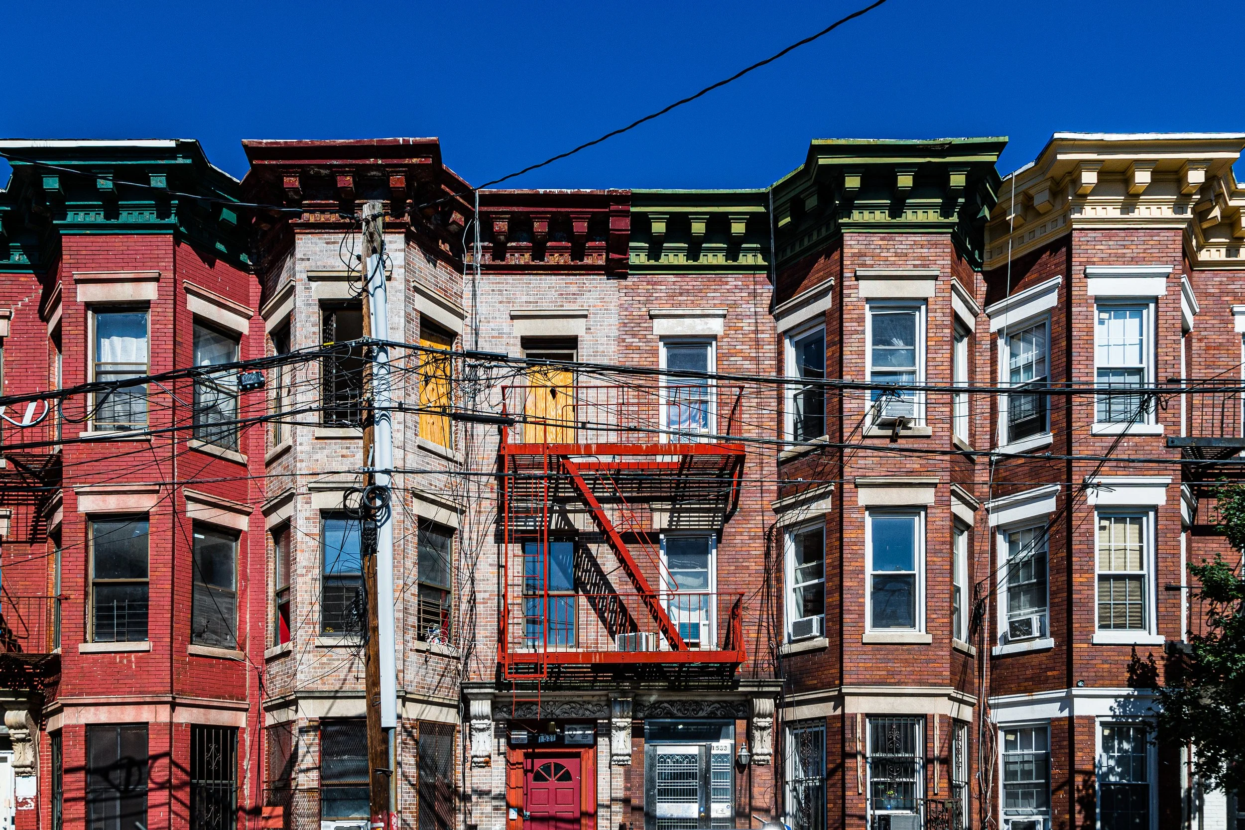
Between 1900 and 1930, Crotona flourished as a vibrant urban district characterized by five- and six-story walk-ups, brick rowhouses, and corner shops lining Crotona Park East and Charlotte Street. The neighborhood’s proximity to both Crotona Park and the expanding subway made it highly desirable for Jewish, Italian, and Irish families moving north from Manhattan’s Lower East Side.
The park itself, improved during this period with walking paths, playgrounds, and the Crotona Park Pool (1936) under the Works Progress Administration, served as the community’s social nucleus. Summers brought softball games, concerts, and festivals. Schools, synagogues, and small businesses flourished along Clinton Avenue and Vyse Avenue. Crotona symbolized the Bronx ideal—dense but livable, diverse yet cohesive, and built on a foundation of civic beauty anchored by its namesake park.
Crotona Video Coming Soon
Mid–Late 20th Century: Decline, Displacement, and Rebirth
The decades after World War II brought turbulence. As many white ethnic residents moved to the suburbs, new waves of Puerto Rican and African-American families arrived during the 1950s and 1960s, facing redlining and shrinking job opportunities. The construction of the Cross Bronx Expressway (1948–1972) and Sheridan Expressway (1958) carved through the neighborhood’s edges, isolating it physically and economically.
By the 1970s, Crotona stood at the epicenter of the South Bronx’s crisis. Fires, abandonment, and arson decimated blocks, particularly around Charlotte Street—which became a national symbol of urban decay after President Jimmy Carter’s 1977 visit, where he surveyed rows of burned-out buildings and rubble lots. Yet even in this devastation, seeds of renewal were being planted.
Local residents and community organizations—among them the Mid-Bronx Desperadoes, Banana Kelly Community Improvement Association, and Charlotte Gardens Development—fought to reclaim their neighborhood. The Charlotte Street Rebuilding Project (begun in 1983) transformed blocks of rubble into rows of ranch-style homes, a powerful symbol of grassroots reconstruction. These homeowner-led initiatives, backed by city investment under Mayor Koch’s Ten-Year Housing Plan, helped repopulate Crotona and reestablish stability.
21st Century: Green Revival and Community Strength
In the 21st century, Crotona has emerged as a model of community-led renewal. Modern affordable housing complexes and mixed-income developments have replaced derelict lots, while the surrounding infrastructure has been upgraded. The decommissioning of the Sheridan Expressway (2022) and its conversion into Sheridan Boulevard reconnected Crotona to the Bronx River waterfront and improved pedestrian and bike access.
Crotona Park, once neglected, has undergone extensive restoration: its lake was dredged, playgrounds rebuilt, and the Crotona Park Pool remains a centerpiece of Bronx summers. The park now hosts cultural festivals, sports leagues, and environmental education programs that draw visitors from across the borough. The neighborhood’s schools and community centers have revitalized youth engagement, emphasizing arts, athletics, and ecology.
Today, Crotona’s population reflects the Bronx’s global diversity—Puerto Rican, Dominican, West African, Bangladeshi, and Mexican families living alongside longtime residents. While challenges of affordability and infrastructure persist, the area has reclaimed its identity as a working-class, park-centered, and culturally vibrant community.
Crotona Photo Gallery
Spirit and Legacy
The spirit of Crotona is inseparable from its landscape: a community defined by its hilltop park, reborn from its own ashes, and sustained by collective will. Its legacy is one of endurance—proof that the Bronx’s decline was never the end of its story but a chapter in its reinvention.
On summer evenings, as children play in Crotona Park and music drifts across Crotona Park East, the scene echoes earlier generations who found joy and respite here. The skyline may be humbler than Manhattan’s, but Crotona’s resilience glows brighter than any tower—a living testament to how a neighborhood, rooted in green space and human determination, can rise again and again, each time stronger than before.
New York City
Use this custom Google map to explore where every neighborhood in all five boroughs of New York City is located.
The Five Boroughs
One of New York City’s unique qualities is its organization in to 5 boroughs: Manhattan, Brooklyn, Queens, The Bronx, and Staten Island. These boroughs are part pragmatic administrative districts, and part vestiges of the region’s past. Each borough is an entire county in New York State - in fact, Brooklyn is, officially, Kings County, while Staten Island is, officially Richmond County. But that’s not the whole story …
Initially, New York City was located on the southern tip of Manhattan (now the Financial District) that was once the Dutch colony of New Amsterdam. Across the East River, another city was rising: Brooklyn. In time, the city planners realized that unification between the rapidly rising cities would create commercial and industrial opportunities - through streamlined administration of the region.
So powerful was the pull of unification between New York and Brooklyn that three more counties were pulled into the unification: The Bronx, Queens, and Staten Island. And on January 1, 1898, the City of New York unified two cities and three counties into one Greater City of New York - containing the five boroughs we know today.
But because each borough developed differently and distinctly until unification, their neighborhoods likewise uniquely developed. Today, there are nearly 390 neighborhoods, each with their own histories, cultures, cuisines, and personalities - and each with residents who are fiercely proud of their corner of The Big Apple.


