EDGEMERE
Queens
Geographic Setting
Bounded by Beach 59th Street to the west, Beach 32nd Street to the east, Jamaica Bay to the north, and the Atlantic Ocean to the south, Edgemere occupies a windswept stretch of the Rockaway Peninsula, where the city meets the sea. This narrow band of land, little more than a mile across, lies between the twin waters of bay and ocean—its geography defined by sand dunes, tidal wetlands, and salt air. To the west lies Arverne, while Far Rockaway begins just beyond its eastern edge.
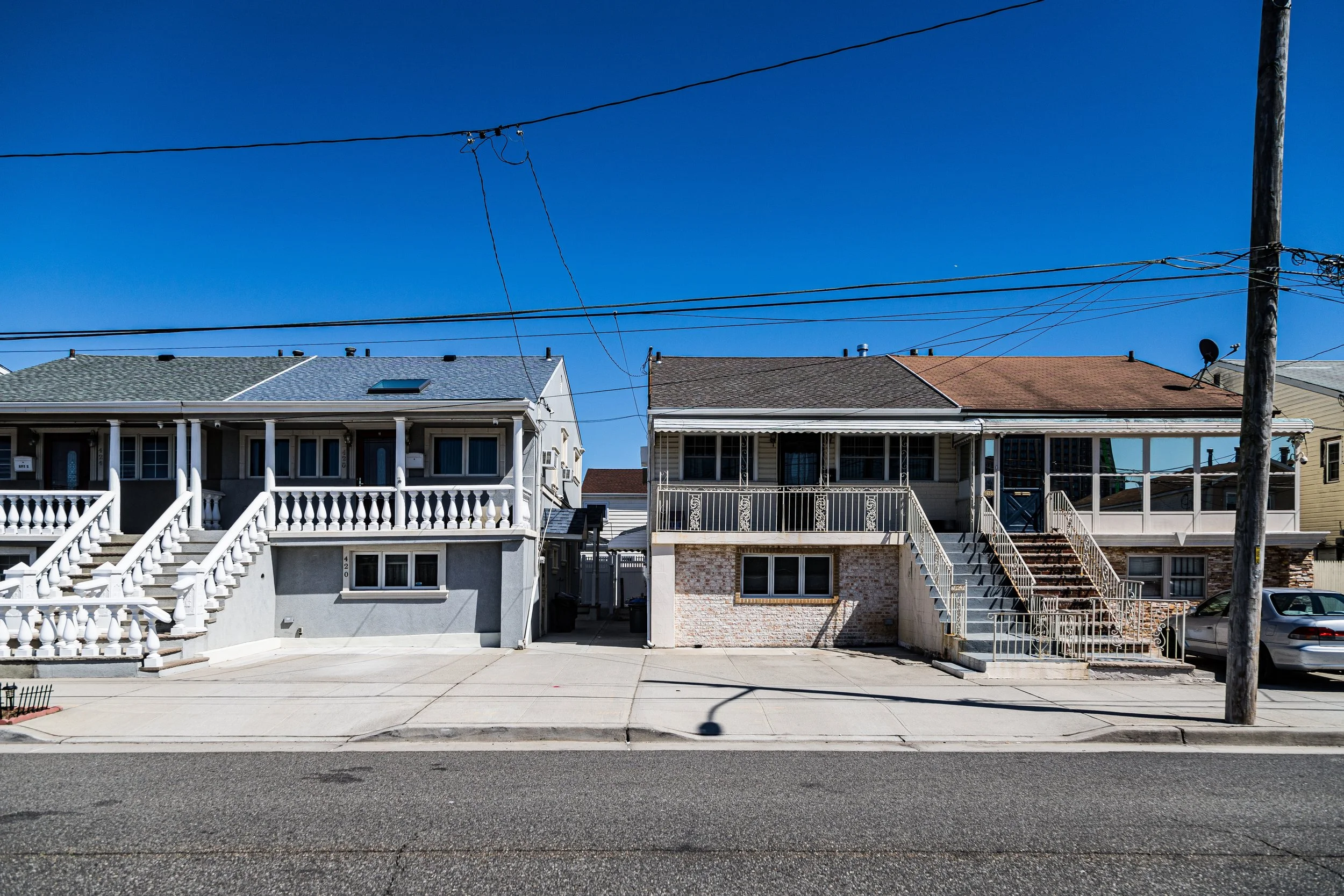
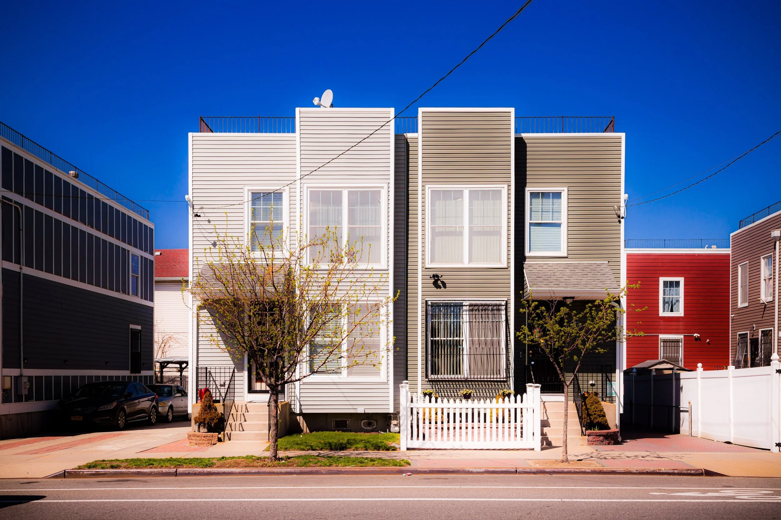
Today, Edgemere is a landscape of contrasts: oceanfront expanses and resilient neighborhoods, public beaches and vacant tracts, urban renewal and natural regeneration. Beach Channel Drive and Rockaway Freeway run parallel through its center, carrying the A train and local traffic past clusters of rowhouses, new apartment developments, and open fields where nature is reclaiming ground once shaped by human design. The views from its shores—north across Jamaica Bay to Broad Channel and the mainland, and south across the Atlantic to the horizon—reveal both the neighborhood’s isolation and its extraordinary sense of space.
Etymology and Origins
The name “Edgemere” was coined in the 1890s by developers who marketed the area as an exclusive seaside resort—literally meaning “by the edge of the sea.” Like neighboring Arverne, Edgemere was conceived during the Gilded Age, when rail access made the Rockaways one of New York’s most fashionable summer destinations. It was here, on the “edge” of Jamaica Bay and the Atlantic, that investors envisioned a coastal community of hotels, cottages, and grand beach promenades.
Before development, this part of the peninsula consisted of dunes, salt meadows, and tidal flats inhabited by the Rockaway band of the Lenape people, who fished and foraged along the coast for centuries. The Dutch and later the English began settling the Rockaway Peninsula in the 17th century, using it primarily for grazing and fishing. With the extension of the Long Island Rail Road’s Rockaway Branch in the 1880s, the area’s transformation into a resort district was all but inevitable.
The Neighborhood
Late 19th–Early 20th Century: Seaside Resort and Suburban Promise
Edgemere’s first wave of development began in the 1890s with the construction of the Edgemere Hotel, a sprawling wooden resort that could accommodate more than 300 guests. The hotel’s broad verandas and ocean views epitomized Victorian leisure, attracting middle- and upper-class vacationers seeking refuge from the city’s summer heat. Surrounding it, developers built boardwalks, bungalows, and seaside villas, promoting Edgemere as a “tranquil alternative to Coney Island.”
By the early 1900s, permanent housing began to supplement seasonal cottages. Streets were platted along a simple east–west grid—Beach 35th to Beach 60th Streets—and the Rockaway Beach Branch of the LIRR (today’s A train line) offered direct access to Manhattan. Edgemere’s small hotels, inns, and bathing pavilions catered to visitors arriving by train, while shops and cafés clustered along what is now Beach Channel Drive.
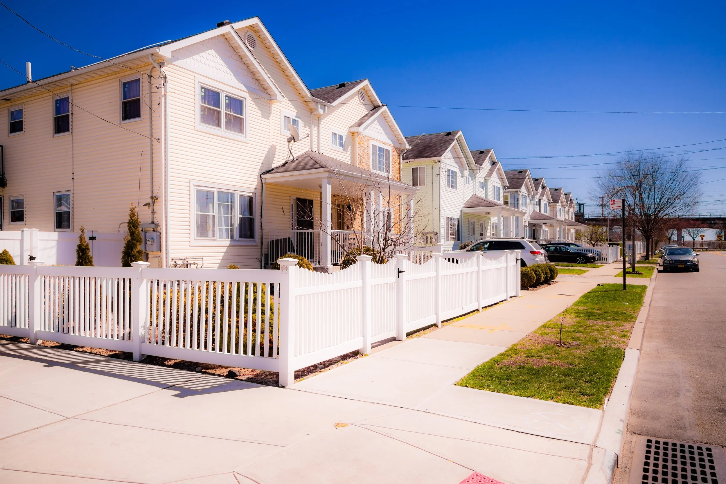
The seaside suburb grew steadily through the 1920s, sustained by summer tourism and a modest year-round population. Many homes from this era reflected popular architectural styles of the time—Tudor Revival, Colonial Revival, and bungalow-style cottages—often built on raised foundations to withstand coastal flooding.
Mid-20th Century: Decline, Urban Renewal, and Displacement
The fortunes of Edgemere changed dramatically after World War II. The decline of the Rockaway resort industry, coupled with the construction of the Marine Parkway Bridge (1937) and improved access to Long Island beaches, drew vacationers elsewhere. Many hotels were converted into rooming houses or nursing homes; others fell into disrepair.
By the 1950s, large sections of Edgemere and neighboring Arverne were targeted for “urban renewal.” City planners, envisioning modern housing projects and expressways, declared much of the area “blighted.” Thousands of homes were seized and demolished under eminent domain—residents displaced with promises of new development that rarely materialized. For decades, Edgemere’s landscape was dominated by empty lots, weedy dunes, and the ghost grid of vanished streets.
During this period, the neighborhood’s population shifted significantly. African-American and Caribbean-American families, many displaced from urban renewal projects elsewhere in the city, moved into surviving housing. Though infrastructure deteriorated, community networks persisted—churches, schools, and local associations maintaining continuity amid uncertainty.
Edgemere Video Coming Soon
Late 20th Century: Survival and Renewal Efforts
By the 1970s and 1980s, Edgemere had become emblematic of the challenges facing postindustrial New York: depopulation, vacancy, and environmental vulnerability. Yet even amid decline, residents organized. Grassroots movements such as the Edgemere Civic Association and Rockaway Development & Revitalization Corporation advocated for reinvestment, beach restoration, and equitable housing policy.
In 1995, the city released the Arverne Urban Renewal Plan, which included portions of Edgemere. While redevelopment advanced slowly, it marked the beginning of a long process of reclamation. In the 2000s, the Edgemere Urban Renewal Area (EURA) was designated, encompassing over 100 acres of city-owned land. The plan aimed to balance affordable housing with open space, flood resiliency, and community services.
21st Century: Rebirth by the Sea
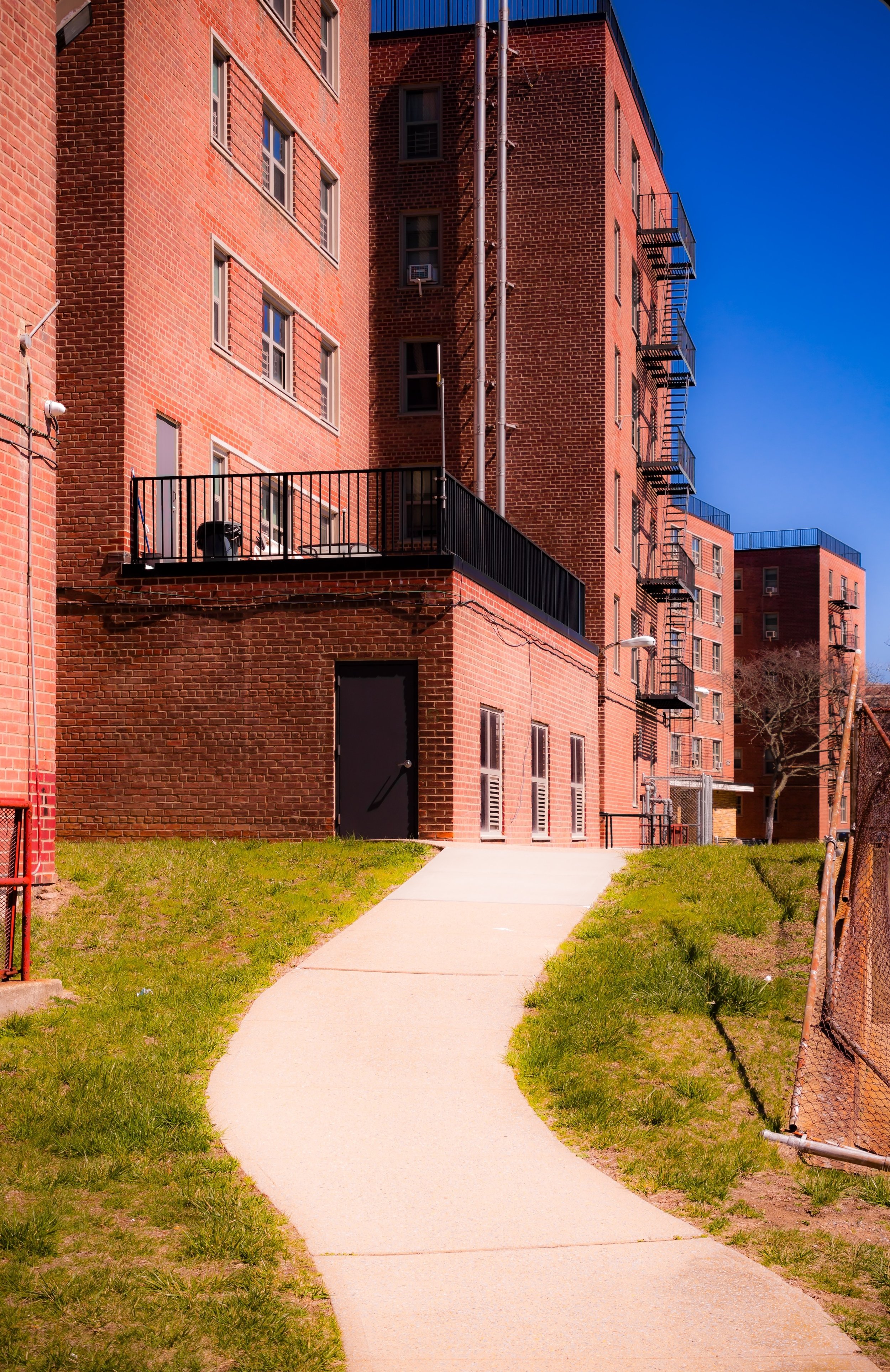
The 21st century has brought both renewal and reflection to Edgemere. New affordable housing complexes—such as Ocean Breeze, Beach Green North, and Tides at Arverne by the Sea—have introduced hundreds of energy-efficient apartments, many designed with storm-resistant features and sustainable architecture. The A train’s Beach 44th Street Station, once neglected, now serves a growing residential base.
The memory of Hurricane Sandy (2012) remains vivid: Edgemere was among the hardest-hit neighborhoods on the Rockaway Peninsula. Floodwaters from both the bay and the ocean inundated homes and infrastructure, underscoring the area’s exposure to climate risk. In the aftermath, residents, activists, and city agencies collaborated on ambitious resiliency efforts, including the Edgemere Community Vision Plan (2017), which prioritizes wetland restoration, elevated housing, and coastal protection while preserving open space for recreation and ecology.
Today, Edgemere stands at a delicate crossroads. It is once again being built up, but this time with a consciousness of sustainability and community input. Rockaway Beach, now fully restored, draws surfers and families throughout the summer, while Bayswater Park and the Rockaway Ferry Terminal reconnect residents to the wider city. Vacant lots are giving way to new homes, community gardens, and stormwater basins that double as public green space.
Edgemere Photo Gallery
Spirit and Legacy
Edgemere’s story is one of ebb and flow—of land reclaimed, lost, and reclaimed again. From its origins as a Gilded Age seaside resort to its decades of abandonment and its present-day rebirth, it has embodied the cyclical relationship between nature and the city. Its broad beaches and windswept avenues tell of both human ambition and the resilience required to live “at the edge of the sea.”
New York City
Use this custom Google map to explore where every neighborhood in all five boroughs of New York City is located.
The Five Boroughs
One of New York City’s unique qualities is its organization in to 5 boroughs: Manhattan, Brooklyn, Queens, The Bronx, and Staten Island. These boroughs are part pragmatic administrative districts, and part vestiges of the region’s past. Each borough is an entire county in New York State - in fact, Brooklyn is, officially, Kings County, while Staten Island is, officially Richmond County. But that’s not the whole story …
Initially, New York City was located on the southern tip of Manhattan (now the Financial District) that was once the Dutch colony of New Amsterdam. Across the East River, another city was rising: Brooklyn. In time, the city planners realized that unification between the rapidly rising cities would create commercial and industrial opportunities - through streamlined administration of the region.
So powerful was the pull of unification between New York and Brooklyn that three more counties were pulled into the unification: The Bronx, Queens, and Staten Island. And on January 1, 1898, the City of New York unified two cities and three counties into one Greater City of New York - containing the five boroughs we know today.
But because each borough developed differently and distinctly until unification, their neighborhoods likewise uniquely developed. Today, there are nearly 390 neighborhoods, each with their own histories, cultures, cuisines, and personalities - and each with residents who are fiercely proud of their corner of The Big Apple.


