
CLASON POINT
The Bronx
Geographic Setting
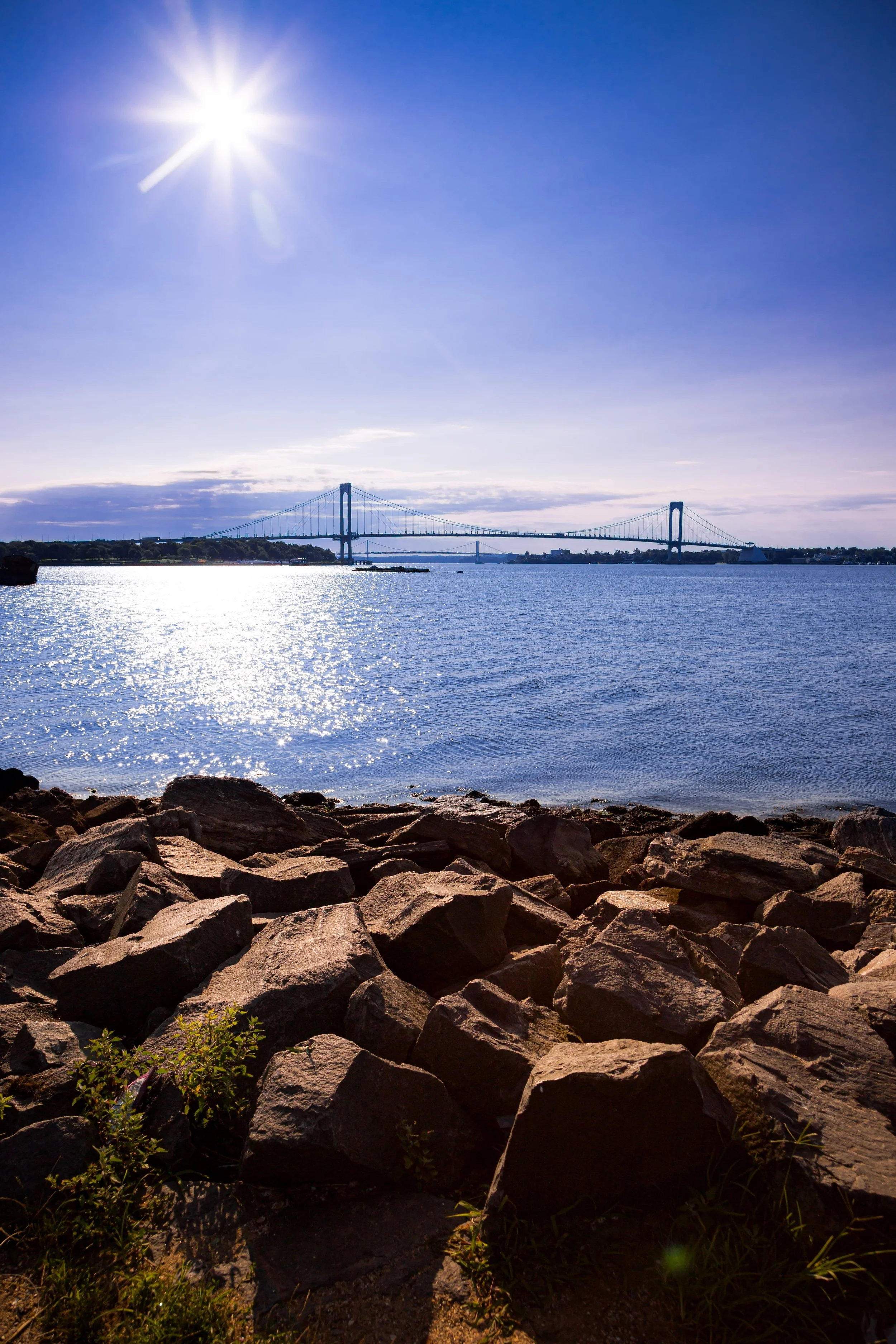
Bounded by Lacombe Avenue to the north, Westchester Creek to the east, and Soundview Avenue and O’Brien Avenue to the west, Clason Point extends like a green-and-gray peninsula into the tidal confluence where the Bronx River meets the East River. To the south, its shoreline dissolves into the salt marshes and waterfront parks that face Hunts Point, Rikers Island, and the distant spires of Manhattan. This low-lying but storied neighborhood sits within the larger district of Soundview, yet retains a distinct identity—one of the few places in New York City where the urban grid gives way to winding streets, small houses, and direct contact with the water.
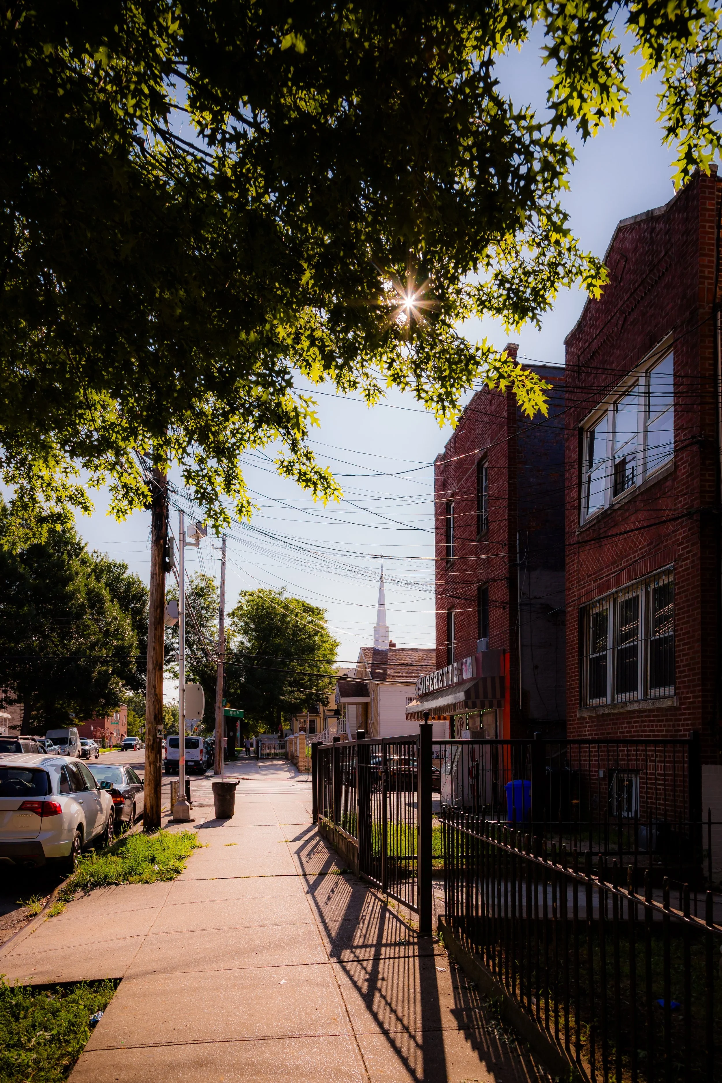
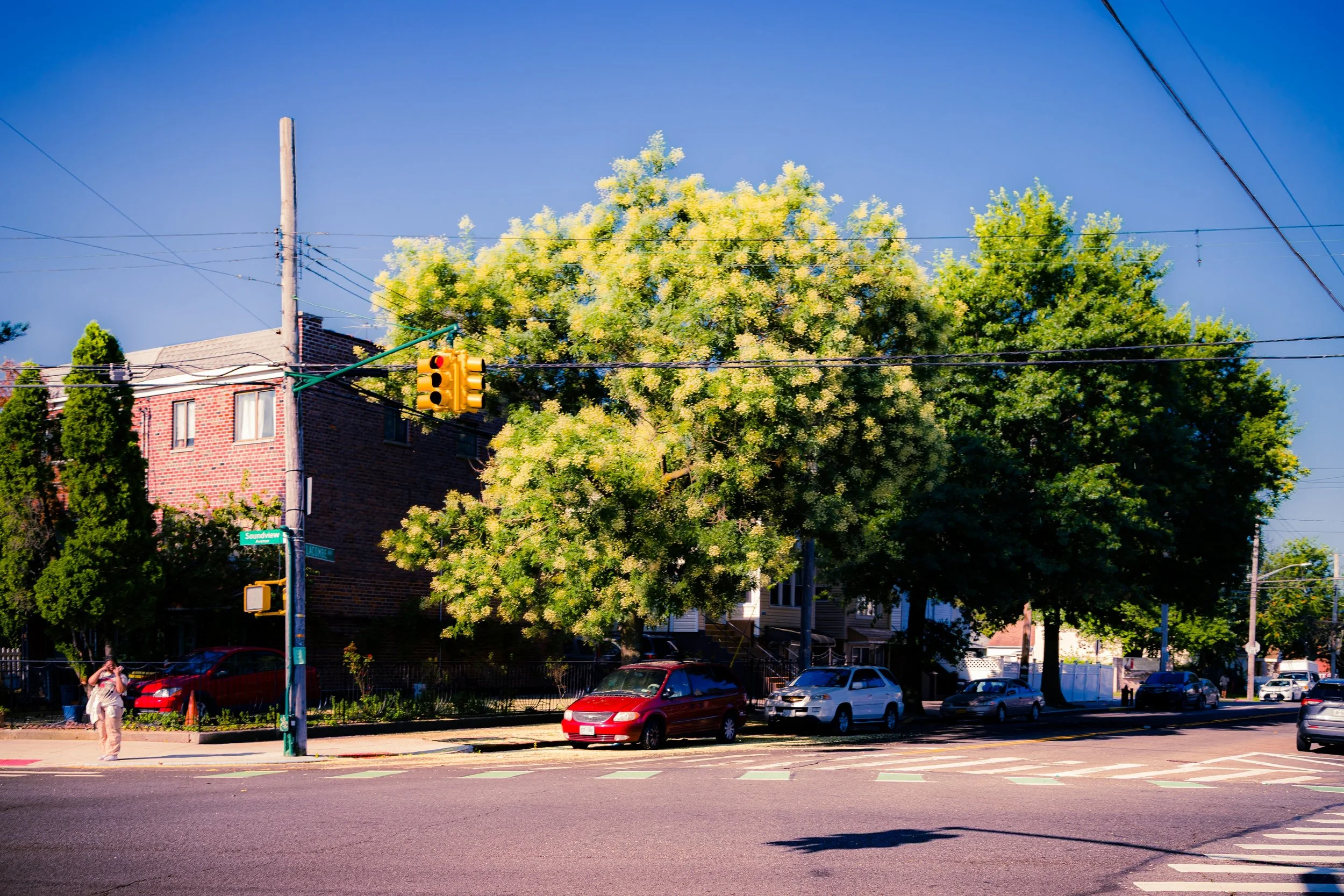
Clason Point’s principal thoroughfares—Morrison Avenue, Underhill Avenue, and Leland Avenue—run north–south through quiet residential blocks that gradually thin toward the shoreline. The Bronx River Parkway Extension and the Soundview Expressway skirt its edges, while the restored Soundview Ferry Landing now connects residents directly to Wall Street and East Midtown, renewing the area’s historic maritime link. Parks and open spaces—Soundview Park, Clason Point Park, and the Bronx River Greenway—wrap the neighborhood in greenery, defining both its geography and its spirit.
Etymology
The name “Clason Point” (historically “Clason’s Point”) derives from Isaac Clason, a prominent 18th-century merchant and landowner who acquired much of the peninsula in the late 1700s. Clason’s family operated mills and shipping ventures along the Bronx River, and the term “Point” referred to the southern tip of their holdings that jutted into the East River’s tidal basin. Over time, the possessive apostrophe faded, but the name endured—marking one of the Bronx’s oldest continuously used place names.
Earlier still, the area was home to the Siwanoy people of the Lenape Nation, who fished and foraged along these tidal flats for centuries before European colonization. Their seasonal camps along the riverbanks prefigured the very rhythm of waterfront life that continues in altered form today.
The Neighborhood
Origins through the 19th Century
During the 18th and early 19th centuries, Clason Point remained largely rural, a mosaic of farms, salt meadows, and small estates connected by rough lanes to the inland village of Westchester. Its strategic location along navigable water made it a modest but reliable port for agricultural goods bound for Manhattan markets. The Bronx River and Westchester Creek served as natural borders and transportation corridors, linking Clason Point to the broader economy of the growing region.
In the mid-19th century, as ferry service to Manhattan improved, the area began to attract urban vacationers seeking respite from the heat and noise of downtown. Clason Point became known for its summer resorts and amusement piers—a Bronx counterpart to Coney Island. Steamboats and ferries brought visitors to wooden hotels, dance halls, and bathing beaches. The most famous was Clason Point Park, opened in 1880, featuring rides, pavilions, and fireworks over the East River. The resort era flourished into the early 20th century, leaving behind a pattern of winding lanes and irregular lots still visible today.
Early 20th Century: From Resorts to Residences
By the 1920s, Clason Point’s resort period was fading, replaced by permanent housing. Modest bungalows and two-family houses appeared on subdivided plots, many converted from summer cottages. Developers marketed the area as an affordable waterfront community “within sight of Manhattan’s towers.” The extension of Soundview Avenue and new bus routes tied Clason Point to Westchester Square and the Pelham Bay corridor, while nearby Lafayette Avenue became its northern commercial edge.
The neighborhood’s mixed housing—bungalows, rowhouses, and low-rise brick apartments—reflected its hybrid heritage: part seaside village, part city suburb. Churches, corner stores, and boatyards anchored daily life. The Public School 69 and later Clason Point Gardens (built 1941) provided education and affordable housing for the area’s growing working-class population.
Clason Point also became notable as a hub of early public housing. The Clason Point Gardens, completed by the NYC Housing Authority, was the first federal public housing project in the Bronx and among the earliest in the nation. Its 15-acre complex of two-story garden apartments reflected the New Deal’s belief in open space, sunlight, and community planning—principles that would shape the postwar Bronx.
Clason Point Video Coming Soon
Mid–Late 20th Century: Isolation and Renewal
The 1950s–1970s brought profound changes. Postwar urban renewal projects, including the Bronx River Parkway Extension and Bruckner Expressway, cut off Clason Point from neighboring districts, leaving it geographically isolated but socially cohesive. The construction of large public housing developments such as the Soundview Houses (1954) and Monroe Houses (1961) increased density but also concentrated poverty during an era of citywide economic decline.
Despite hardships—rising crime, municipal neglect, and the Bronx fires—Clason Point maintained a remarkable degree of community self-organization. Local residents formed tenant associations, youth programs, and environmental groups to preserve the waterfront and parks. The area’s churches and community centers became vital social anchors. Clason Point Gardens, unlike many large-scale projects, retained its low-rise character and strong sense of place, weathering the city’s worst years through collective care and determination.
By the 1980s, grassroots efforts led to significant environmental restoration along the Bronx River estuary. Community advocates helped reclaim abandoned lots for recreation, precursors to today’s Soundview Park expansion and the Bronx River Greenway initiative.
21st Century: Waterfront Reconnection and Urban Ecology
In the new century, Clason Point has reemerged as a model of environmental renewal and community resilience. The opening of the NYC Ferry Soundview Route in 2018 reconnected the peninsula directly to Manhattan, cutting commute times and reviving the area’s maritime heritage. Soundview Park, expanded to more than 200 acres, now encompasses restored wetlands, athletic fields, playgrounds, and bike paths, making it one of the Bronx’s premier green spaces.
The neighborhood’s population—predominantly Latino and African-American, with growing West African and Caribbean communities—remains deeply rooted and civically engaged. Annual park events, boating programs, and environmental stewardship projects have restored local pride. Housing initiatives continue to blend old and new: renovated NYCHA complexes, new affordable homes, and small private developments coexist amid trees and river views.
Clason Point’s identity today blends working-class realism with ecological vision. It stands as one of the Bronx’s few communities where residents can walk to the water, see herons wading in restored marshes, and board a ferry to the city skyline.
Clason Point Photo Gallery
Spirit and Legacy
The spirit of Clason Point is the spirit of reclamation—of water, of land, and of dignity. Once a resort, later a refuge, and now a revitalized waterfront village, it has always been a place defined by its geography and the perseverance of its people.
New York City
Use this custom Google map to explore where every neighborhood in all five boroughs of New York City is located.
The Five Boroughs
One of New York City’s unique qualities is its organization in to 5 boroughs: Manhattan, Brooklyn, Queens, The Bronx, and Staten Island. These boroughs are part pragmatic administrative districts, and part vestiges of the region’s past. Each borough is an entire county in New York State - in fact, Brooklyn is, officially, Kings County, while Staten Island is, officially Richmond County. But that’s not the whole story …
Initially, New York City was located on the southern tip of Manhattan (now the Financial District) that was once the Dutch colony of New Amsterdam. Across the East River, another city was rising: Brooklyn. In time, the city planners realized that unification between the rapidly rising cities would create commercial and industrial opportunities - through streamlined administration of the region.
So powerful was the pull of unification between New York and Brooklyn that three more counties were pulled into the unification: The Bronx, Queens, and Staten Island. And on January 1, 1898, the City of New York unified two cities and three counties into one Greater City of New York - containing the five boroughs we know today.
But because each borough developed differently and distinctly until unification, their neighborhoods likewise uniquely developed. Today, there are nearly 390 neighborhoods, each with their own histories, cultures, cuisines, and personalities - and each with residents who are fiercely proud of their corner of The Big Apple.


