
CANARSIE
Brooklyn
Geographic Setting
Bounded by the rail line north of Avenue D to the north, Jamaica Bay to the south, Williams Avenue and East 108th Street to the east, and Paerdegat Avenue North and Ralph Avenue to the west, Canarsie occupies the southeastern edge of Brooklyn—a low-lying coastal expanse where salt marshes, tidal inlets, and quiet residential streets converge. Once a Lenape fishing village and later a colonial farming hamlet, Canarsie evolved through eras of agriculture, resort leisure, suburban promise, and civic struggle. Today it stands as one of the most historically layered neighborhoods in New York City—defined as much by its deep roots as by its resilience in the face of urban change and rising tides.
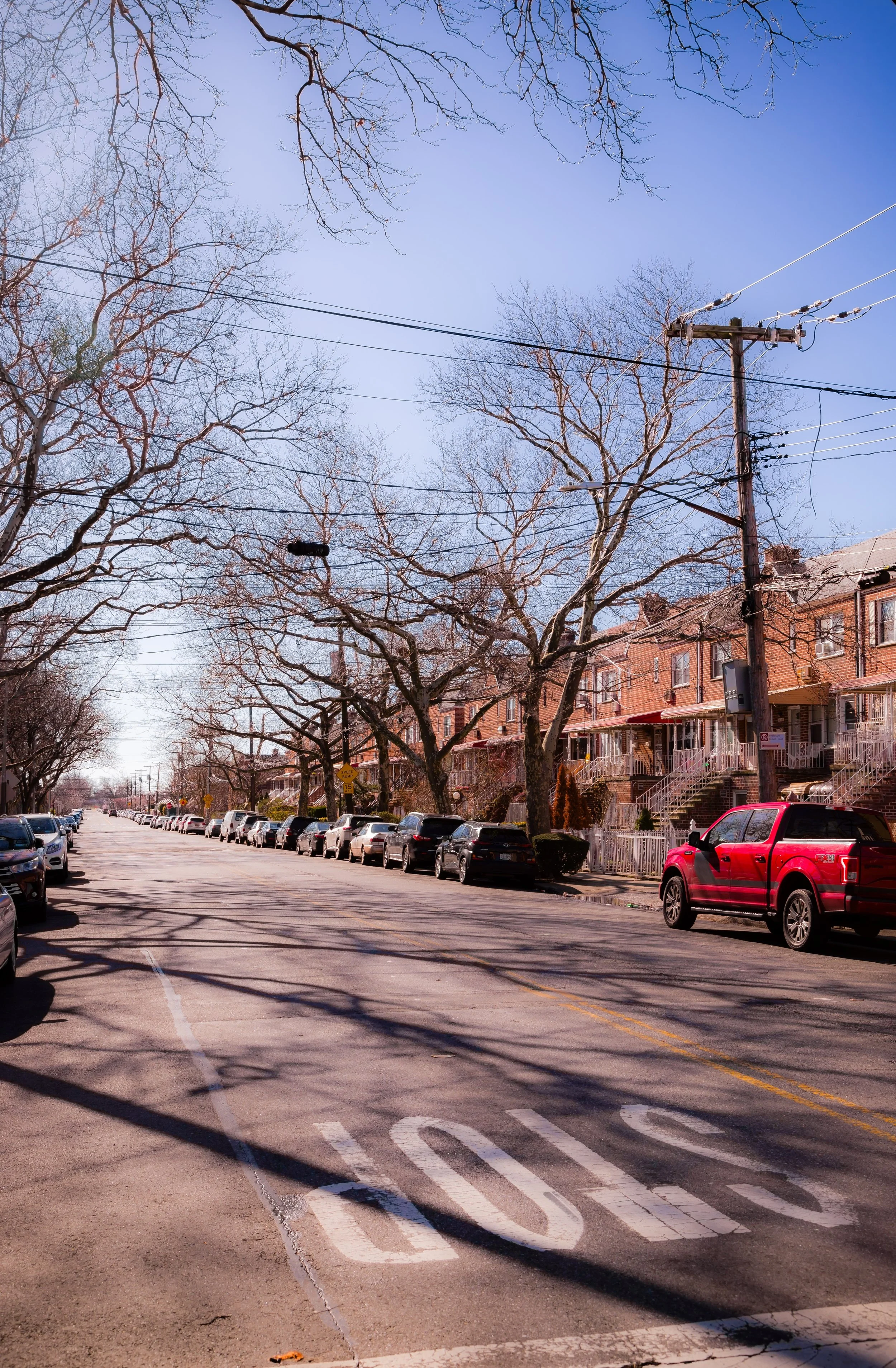
The neighborhood’s layout reflects its geography: wide, tree-lined avenues radiating toward the waterfront, intersected by compact blocks of detached houses and two-family homes. Flatlands Avenue, Seaview Avenue, and Rockaway Parkway serve as its main arteries, while Remsen Avenue and Avenue L thread through its residential heart. Along its southern fringe, the Canarsie Pier, Gateway National Recreation Area, and Paerdegat Basin Park open to the shimmering wetlands of Jamaica Bay—a reminder that this neighborhood, more than most, remains bound to the water.
Etymology and Origins
The name Canarsie derives from the Canarsee, a band of the Lenape (Delaware) people who inhabited these shores long before European settlement. The word likely means “fenced place” or “fort among the reeds,” referring to the palisaded villages that once stood along the bay’s edge. The Canarsee people fished, farmed, and traded from these estuaries for centuries, their territory encompassing much of southeastern Brooklyn.
In 1636, Dutch settlers from New Amsterdam purchased large tracts of land here—the first recorded European land transfer in what would become Brooklyn. Over time, the Canarsee were displaced by colonial farms and mills, though their legacy endures in the landscape’s enduring place names. For two centuries thereafter, Canarsie remained an agricultural outpost of the Dutch towns of Flatlands and New Utrecht, its fertile fields producing grain, vegetables, and oysters for the growing city.
The Neighborhood
19th Century: A Farming Hamlet by the Bay
By the early 1800s, Canarsie had developed into a small, tight-knit farming community centered around Canarsie Road (now Rockaway Parkway) and Flatlands Avenue. Its population—largely Dutch-descended families such as the Vanderveers, Remsens, and Bergens—maintained a rural way of life well into the industrial age. The opening of Canarsie Lane to Jamaica Bay provided access for fishing and clamming, while schooners carried local produce to Manhattan’s markets.
After the Civil War, improved rail and trolley service connected Canarsie to central Brooklyn, transforming it into a modest seaside retreat. The Brooklyn and Rockaway Beach Railroad (later the BMT Canarsie Line, now the L train) reached Canarsie in the 1860s, and by the 1880s the neighborhood boasted amusement piers, bathing pavilions, and picnic grounds along Jamaica Bay. Resorts like the Golden City Amusement Park drew day-trippers who came to swim, dance, and dine on fresh seafood.
Though overshadowed by Coney Island’s grandeur, Canarsie’s bayside boardwalk retained a local charm. Farmers and fishermen coexisted with summer visitors, while small Italian and Jewish communities began to settle permanently inland. The Canarsie of the 19th century was a borderland between the pastoral and the urban—still rural, yet already part of the city’s restless expansion.
Early–Mid 20th Century: Suburban Promise and Transformation
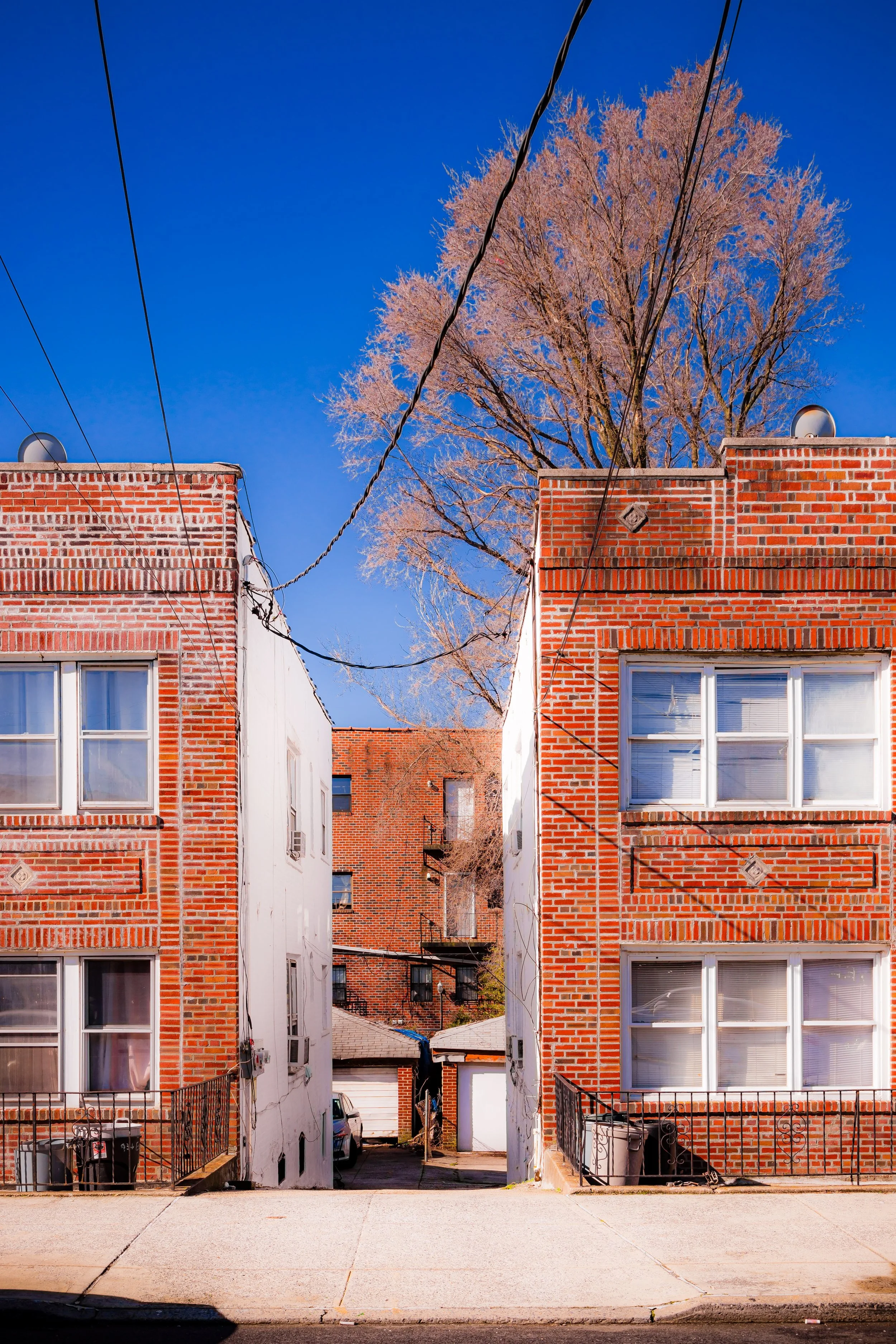
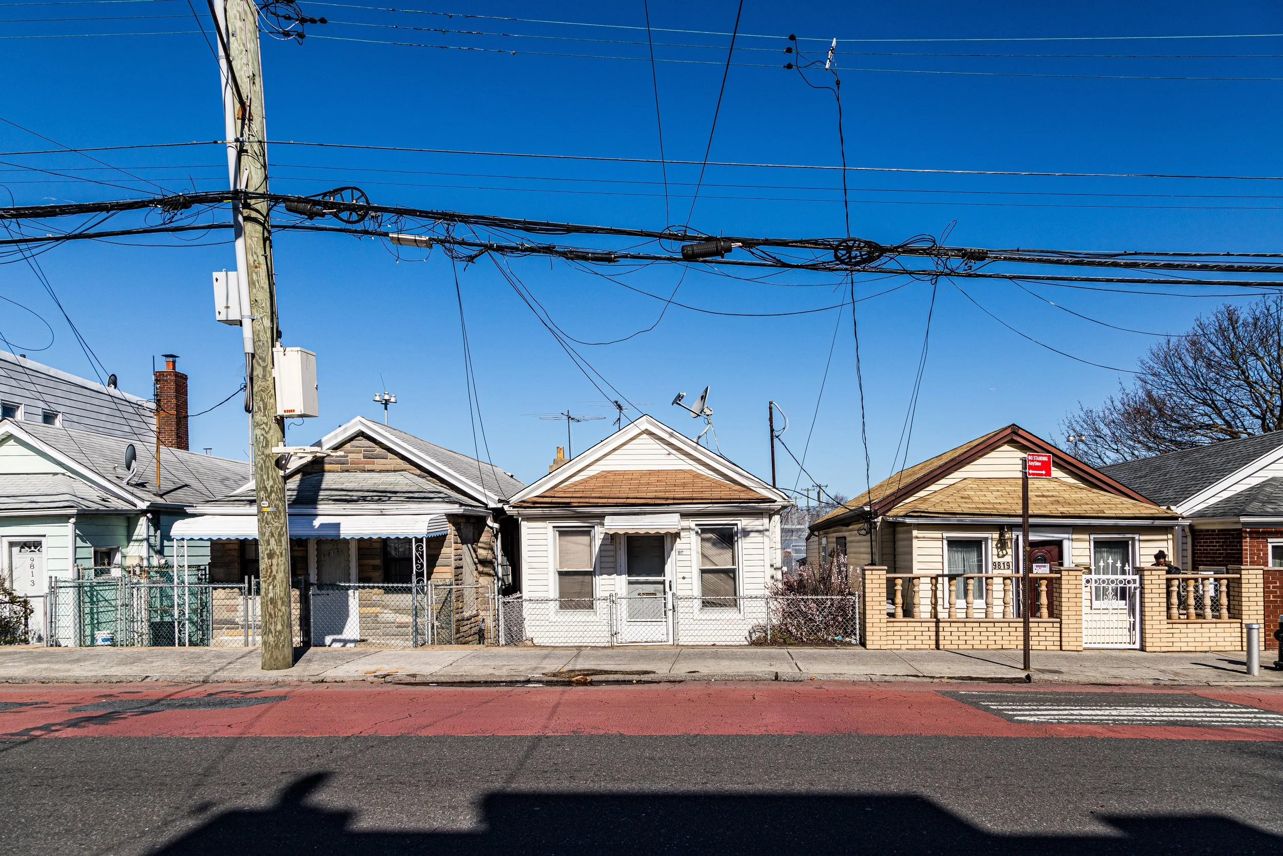
The early 20th century brought rapid suburbanization. The consolidation of Brooklyn into Greater New York in 1898 and the extension of paved roads, sewers, and streetcars opened Canarsie to development. By the 1920s–1930s, modest bungalows and two-family houses filled the former farmland north of Seaview Avenue. Developers marketed the area as “Brooklyn’s Country by the Sea”—an affordable enclave for working- and middle-class families seeking quiet streets and small yards within city limits.
During these decades, Canarsie became a predominantly Italian-American and Jewish neighborhood, marked by strong family ties, civic clubs, and parishes such as Holy Family Church (1920s). Rockaway Parkway emerged as its commercial spine, lined with bakeries, hardware stores, and small department shops. The Canarsie Pier, completed in 1926 as part of a federal seawall project, became a favorite gathering place for fishing, festivals, and weekend strolls—a tradition that continues today.
After World War II, returning veterans and city workers settled here in large numbers, drawn by affordable housing and proximity to jobs in Brooklyn’s manufacturing belt. Yet as new highways—the Belt Parkway and Shore Parkway—cut through the marshlands, Canarsie’s physical isolation deepened. Its suburban quiet stood in stark contrast to the rapid urbanization of surrounding districts.
Neighborhood Video Coming Soon
Late 20th Century: Upheaval and Resilience
The 1960s–1970s brought sweeping social change. As African American and Caribbean families moved eastward from Crown Heights and Brownsville, Canarsie—then still overwhelmingly white and working-class—became a flashpoint for racial tension. The 1972 “Canarsie Conflict,” sparked by disputes over school integration and public housing, exposed deep divisions within the community. Many longtime residents left for Long Island or Staten Island, while newcomers faced redlining and discrimination.
By the 1980s, Canarsie had transformed demographically into a vibrant Caribbean-American and African American neighborhood, home to families from Jamaica, Trinidad, Barbados, Haiti, and Guyana. Despite economic challenges and lingering stigma, the new Canarsie rebuilt its sense of stability around churches, cultural associations, and small businesses. Rockaway Parkway once again became a lively corridor of bakeries, barbershops, and markets—this time infused with Caribbean rhythm and flavor.
The 1990s–2000s saw a gradual revival. Homeownership remained high compared to other Brooklyn neighborhoods, reflecting Canarsie’s enduring middle-class ethos. Yet its coastal geography also made it vulnerable: storms increasingly flooded low-lying streets, and Hurricane Sandy (2012) brought devastating damage along the Paerdegat Basin and Seaview Avenue, spurring new environmental resilience projects in its aftermath.
21st Century: Community, Continuity, and the Sea
Today, Canarsie stands as a symbol of both continuity and change. It is one of Brooklyn’s most ethnically diverse neighborhoods, where Caribbean heritage blends with the last traces of its Italian and Jewish past. The Canarsie Pier and Gateway National Recreation Area serve as the community’s front porch to the bay, drawing fishermen, families, and cyclists. The revitalized Canarsie Park, expanded in the 2010s, offers sports fields and wetlands restoration areas that reconnect residents to their coastal roots.
Civic organizations such as Canarsie Bridges, Fresh Creek Civic Association, and local churches work to strengthen community ties, advocate for flood resilience, and preserve affordability. Despite the pressures of rising property values and citywide gentrification, Canarsie retains its suburban cadence—quiet streets, backyard gardens, and multigenerational homes.
Ecologically, the neighborhood has become a testing ground for coastal adaptation: marsh restoration, green infrastructure, and levee projects aim to protect it from rising seas. Yet the memory of its indigenous past—the Canarsee people who first named these waters—resonates in every tide.
Canarsie Photo Gallery
Spirit and Legacy
Canarsie’s legacy is one of roots, renewal, and perseverance by the water. From Lenape fishing grounds to Dutch farms, from immigrant suburb to Caribbean stronghold, it has always been a place defined by migration and self-reliance. Its streets carry the rhythm of families who have come seeking space, safety, and home—generation after generation.
New York City
Use this custom Google map to explore where every neighborhood in all five boroughs of New York City is located.
The Five Boroughs
One of New York City’s unique qualities is its organization in to 5 boroughs: Manhattan, Brooklyn, Queens, The Bronx, and Staten Island. These boroughs are part pragmatic administrative districts, and part vestiges of the region’s past. Each borough is an entire county in New York State - in fact, Brooklyn is, officially, Kings County, while Staten Island is, officially Richmond County. But that’s not the whole story …
Initially, New York City was located on the southern tip of Manhattan (now the Financial District) that was once the Dutch colony of New Amsterdam. Across the East River, another city was rising: Brooklyn. In time, the city planners realized that unification between the rapidly rising cities would create commercial and industrial opportunities - through streamlined administration of the region.
So powerful was the pull of unification between New York and Brooklyn that three more counties were pulled into the unification: The Bronx, Queens, and Staten Island. And on January 1, 1898, the City of New York unified two cities and three counties into one Greater City of New York - containing the five boroughs we know today.
But because each borough developed differently and distinctly until unification, their neighborhoods likewise uniquely developed. Today, there are nearly 390 neighborhoods, each with their own histories, cultures, cuisines, and personalities - and each with residents who are fiercely proud of their corner of The Big Apple.


