BROOKVILLE PARK
Queens
Geographic Setting
Located at the southern edge of Brookville near the border of Rosedale and Springfield Gardens, Brookville Park is one of southeastern Queens’ most significant natural landscapes. The park stretches roughly from 147th Avenue south to Rockaway Boulevard, following the sinuous course of Hook Creek—a tidal inlet that meanders toward Jamaica Bay. Encompassing over 90 acres of wetlands, meadows, and recreational fields, Brookville Park serves as both a neighborhood green space and an ecological preserve. It is flanked by Brookville Boulevard on the west and Springfield Lane on the east, with entrances along 147th Avenue, 230th Street, and 249th Street, providing direct access for the communities of Brookville, Rosedale, and Laurelton.
Etymology and Origins
The park takes its name from the surrounding neighborhood of Brookville, itself derived from the small creeks and brooks that defined this low-lying terrain. The area was once part of a vast wetland system feeding into Hook Creek Basin, one of the principal waterways draining the Jamaica Bay watershed. Before urbanization, these tidal meadows were vital to the ecology of the South Shore, serving as spawning grounds for fish and nesting habitats for migratory birds.
The land that would become Brookville Park was largely undeveloped until the mid-20th century, used sporadically for grazing and as part of the old Springfield Farm estates. Its transformation into parkland came gradually, as the city sought to protect flood-prone areas while providing recreational amenities for the growing residential communities nearby.
The Neighborhood
Mid-20th Century: Creation and Landscape Design
The park’s formal development began in the 1930s, part of New York City’s broader expansion of public green spaces under Parks Commissioner Robert Moses. As drainage and grading projects reshaped southern Queens, portions of the Hook Creek wetlands were reclaimed and landscaped for public use. Early plans emphasized dual purposes: preserving the natural stream corridor while introducing ballfields, playgrounds, and walking paths.
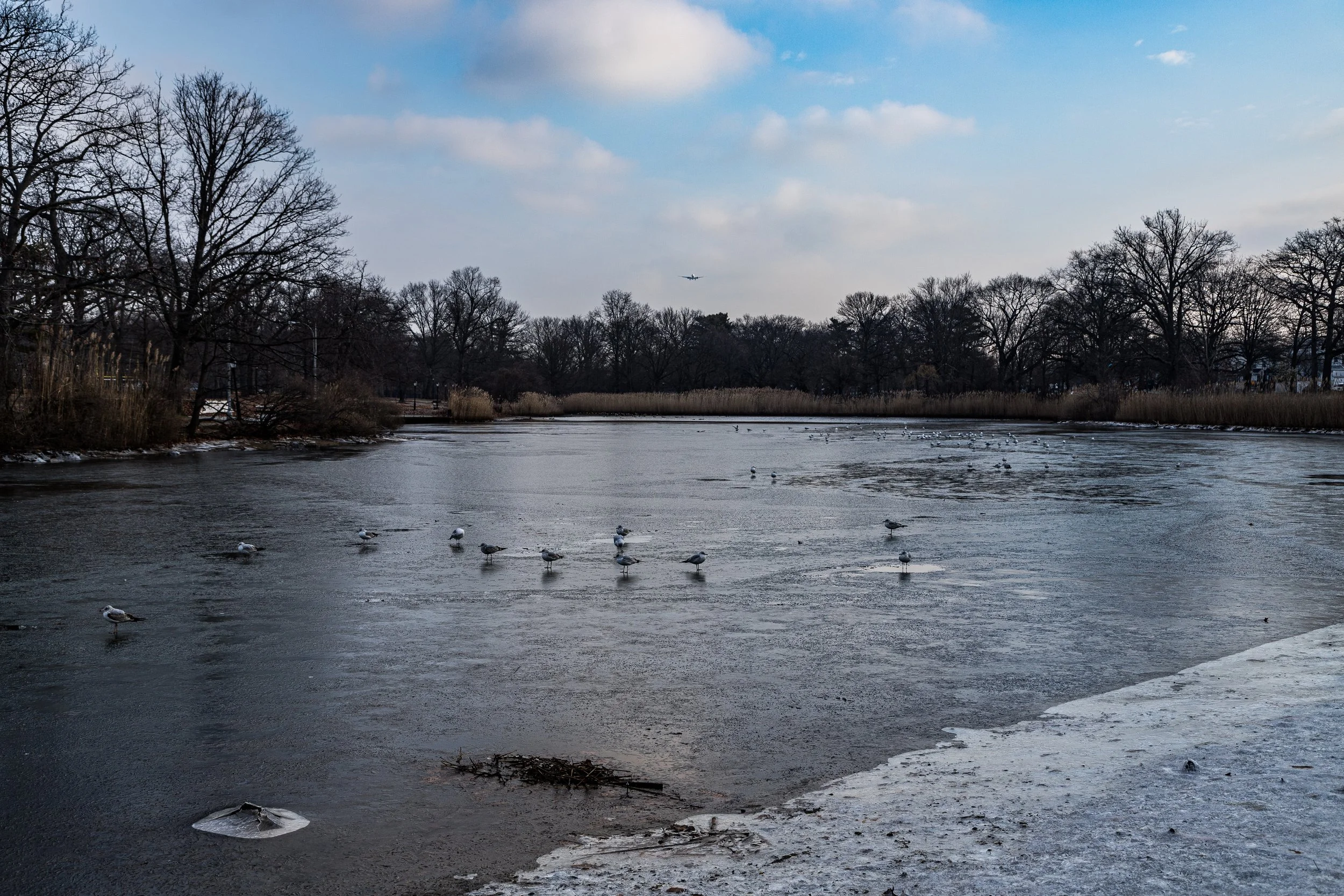
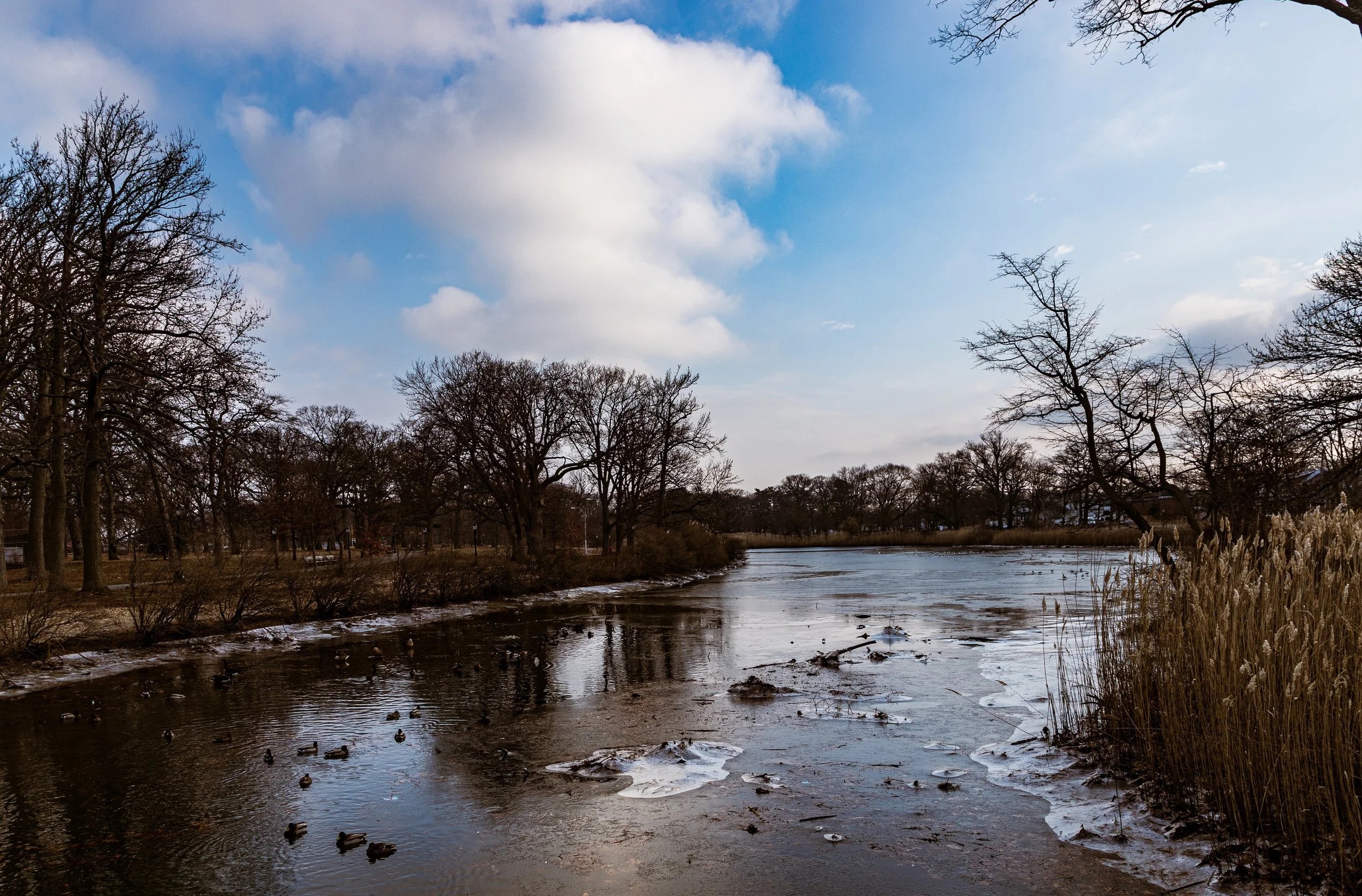
By the 1950s, Brookville Park had taken its present form—a long, linear park divided between an active northern section (with sports fields and courts) and a more natural southern section following the tidal creek. The park’s footbridges, stone-lined stream channels, and gentle berms reflected mid-century park design ideals—functional yet harmonious with nature. Hook Creek Pond, a small freshwater body created by damming part of the creek, became a local landmark for fishing and birdwatching.
Late 20th Century: Community Renewal and Environmental Awareness
Through the 1970s and 1980s, as Brookville and Rosedale evolved into predominantly African American, Caribbean, and immigrant neighborhoods, Brookville Park remained a vital communal space. Local schools used its fields for recreation, while civic associations organized cleanups and family events. In the late 1980s, environmental advocates began highlighting the park’s ecological significance within the Jamaica Bay watershed, leading to new conservation initiatives focused on restoring tidal flow, removing invasive species, and improving water quality.
The NYC Parks Department, in partnership with community groups, undertook substantial restoration work during the 1990s and early 2000s, rehabilitating the creek’s banks and upgrading facilities. Wooden boardwalks and observation areas were added along the southern wetlands, offering rare urban access to a functioning saltmarsh ecosystem within the five boroughs.
Brookville Park Video Coming Soon
21st Century: Ecology and Neighborhood Life
Today, Brookville Park represents both a community park and an ecological preserve. Its northern lawns host soccer, baseball, and cricket matches, while its southern reaches provide habitat for egrets, herons, and diamondback terrapins. The restored Hook Creek corridor acts as a natural flood buffer, absorbing storm runoff from adjacent neighborhoods—a role that proved essential during Hurricane Sandy (2012), when the wetlands mitigated severe flooding farther inland.
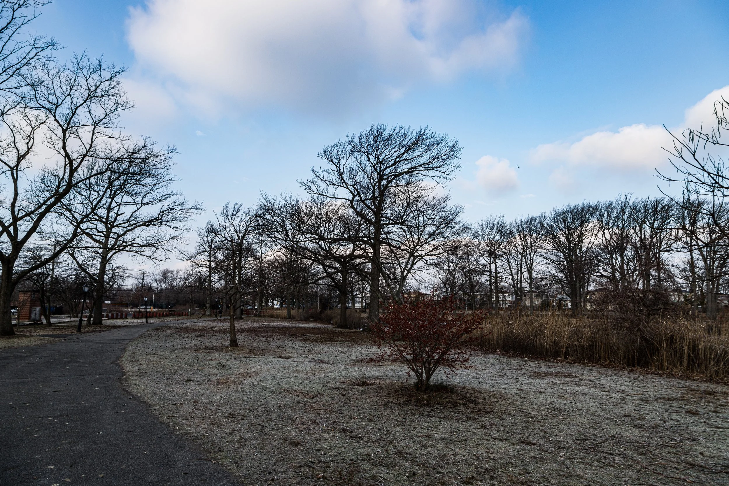
The park continues to benefit from stewardship efforts led by local residents, the Brookville Park Conservancy, and regional groups such as NYC Audubon. Interpretive signage now highlights the area’s environmental history, while tree plantings and playground renovations have revitalized its role as a neighborhood gathering space. Its trails, particularly the Hook Creek Nature Walk, serve both joggers and birdwatchers seeking quiet within the city.
Brookville Park Photo Gallery
Spirit and Legacy
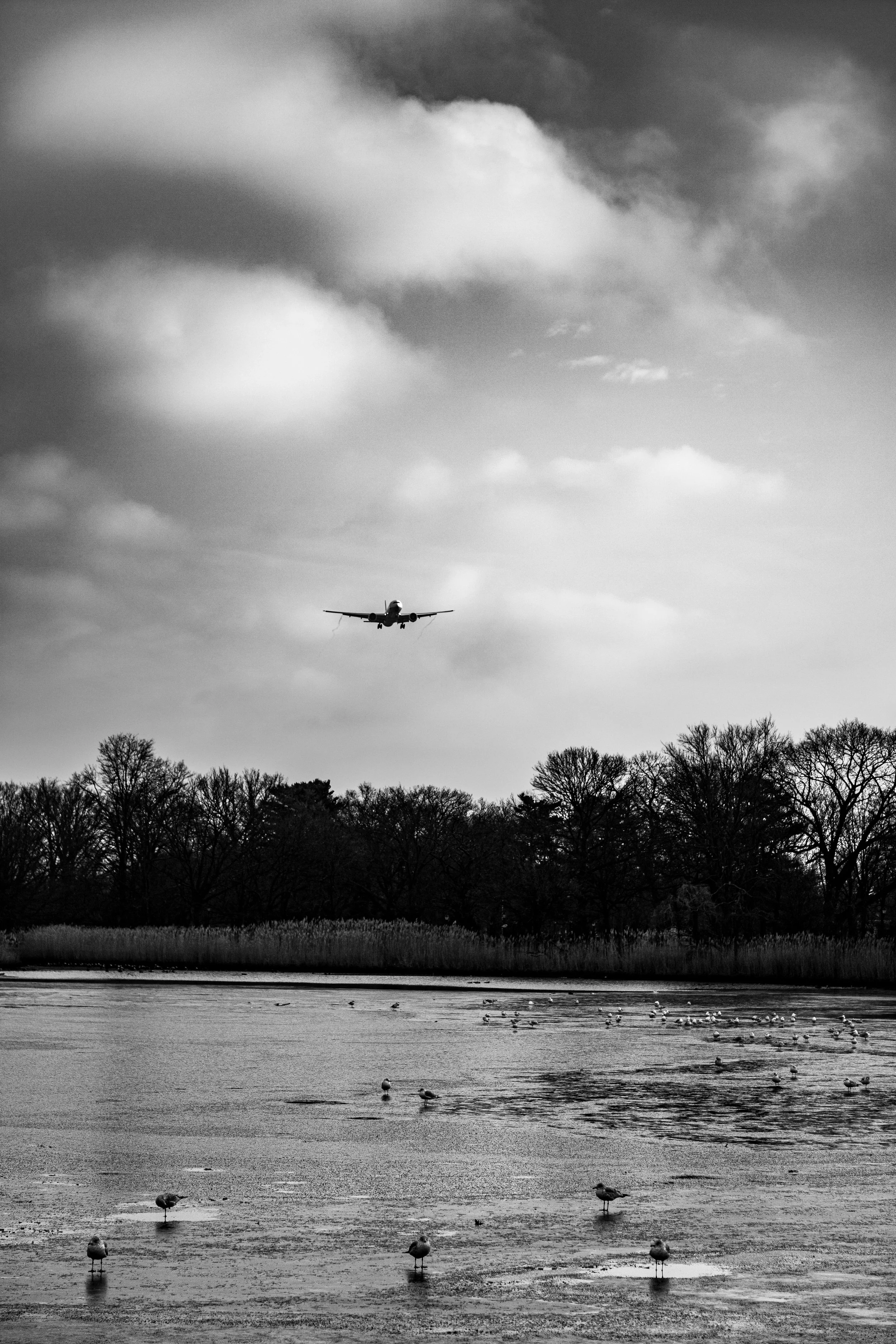
Brookville Park embodies the delicate balance between recreation and restoration—a landscape where community life and environmental stewardship intertwine. Its meadows and saltmarshes recall the pre-urban face of Queens, while its ballfields and playgrounds echo the optimism of postwar suburban planning. To walk the path along Hook Creek at sunrise, with mist rising over the reeds and the faint sound of planes from JFK overhead, is to glimpse two sides of New York: the wild and the inhabited, coexisting at the city’s edge. Brookville Park remains a living testament to that coexistence—quiet, resilient, and deeply rooted in the land that named it.
New York City
Use this custom Google map to explore where every neighborhood in all five boroughs of New York City is located.
The Five Boroughs
One of New York City’s unique qualities is its organization in to 5 boroughs: Manhattan, Brooklyn, Queens, The Bronx, and Staten Island. These boroughs are part pragmatic administrative districts, and part vestiges of the region’s past. Each borough is an entire county in New York State - in fact, Brooklyn is, officially, Kings County, while Staten Island is, officially Richmond County. But that’s not the whole story …
Initially, New York City was located on the southern tip of Manhattan (now the Financial District) that was once the Dutch colony of New Amsterdam. Across the East River, another city was rising: Brooklyn. In time, the city planners realized that unification between the rapidly rising cities would create commercial and industrial opportunities - through streamlined administration of the region.
So powerful was the pull of unification between New York and Brooklyn that three more counties were pulled into the unification: The Bronx, Queens, and Staten Island. And on January 1, 1898, the City of New York unified two cities and three counties into one Greater City of New York - containing the five boroughs we know today.
But because each borough developed differently and distinctly until unification, their neighborhoods likewise uniquely developed. Today, there are nearly 390 neighborhoods, each with their own histories, cultures, cuisines, and personalities - and each with residents who are fiercely proud of their corner of The Big Apple.


