HOMECREST
Brooklyn
Geographic Setting
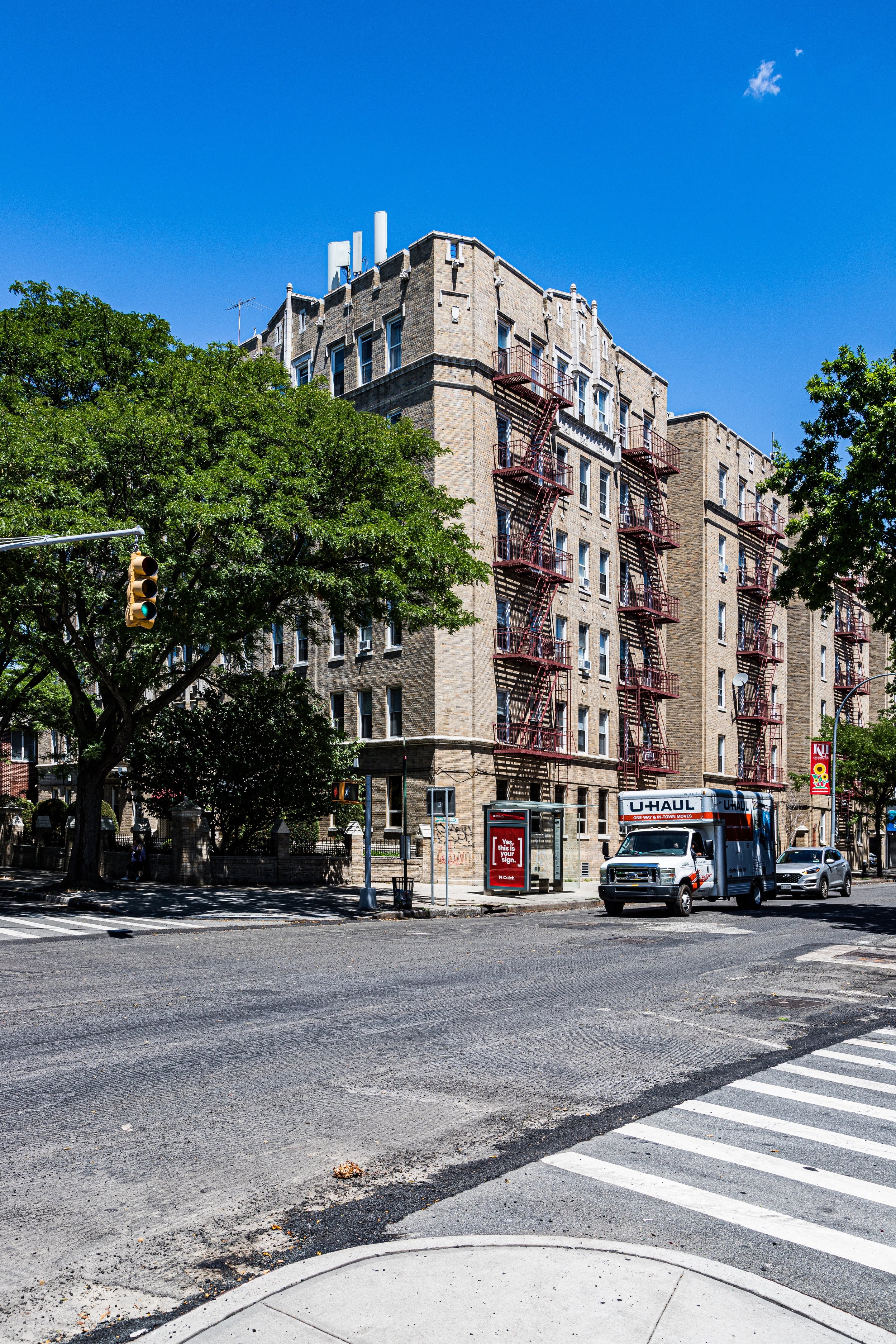
Bounded roughly by Avenue P to the north, Avenue U to the south, Ocean Parkway to the west, and Ocean Avenue to the east, Homecrest sits at the heart of southern Brooklyn, between Gravesend, Sheepshead Bay, and Midwood. The neighborhood occupies a gentle plateau above the old coastal marshlands, its streets arranged in a tight grid lined with brick rowhouses, semi-detached homes, and small apartment buildings that date largely from the early to mid-20th century.
Today, Homecrest remains primarily residential—a district of tree-lined blocks punctuated by schools, synagogues, and small family businesses. Coney Island Avenue and Avenue U, which cut through its core, provide commercial life: a mix of bakeries, kosher markets, cafés, and retail stores that reflect the area’s rich blend of cultures. Though bordered by some of Brooklyn’s busier corridors, Homecrest itself retains a quiet, neighborly rhythm. On a summer evening, the sound of children playing on front stoops mingles with the faint sea breeze drifting inland from Sheepshead Bay.
Etymology and Origins
The name Homecrest dates to the turn of the 20th century, when developers coined it to market one of southern Brooklyn’s first planned suburban communities. The “Home” emphasized domestic comfort and middle-class aspiration; the “Crest” evoked the area’s slight elevation above the surrounding lowlands—a modest hill that set it apart from the coastal flats to the south.
Before development, this land formed part of the old Town of Gravesend, one of the original six towns of Kings County founded by English colonist Lady Deborah Moody in 1643. For centuries, it was open farmland—fertile, sandy soil crisscrossed by cart paths leading toward Coney Island and the sea. Dutch-descended families such as the Vanderveers and Voorheeses cultivated these fields, producing vegetables and grain for Brooklyn’s growing urban markets.
The Neighborhood
19th Century: From Farmland to Suburban Promise
Through most of the 1800s, the area remained rural, its nearest settlement the village of Gravesend to the southwest and the larger hamlet of Flatbush to the north. The construction of Ocean Parkway (1874–1880)—a grand, tree-lined boulevard designed by Frederick Law Olmsted and Calvert Vaux as a scenic connector between Prospect Park and Coney Island—marked the beginning of change. Wealthy Brooklynites began to view southern Brooklyn not as remote countryside but as a potential site for suburban living.
By the 1890s, with streetcar lines extending south along Coney Island Avenue and Ocean Avenue, developers began subdividing farmland into residential plots. Among them was T.B. Ackerson, a prolific Brooklyn real estate developer who envisioned a middle-class garden suburb of tidy homes and civic pride. In 1900, Ackerson formally branded the new district as Homecrest, promoting it as “the ideal home place”—a tranquil alternative to the crowded streets of the inner city, yet conveniently connected by transit.
Early advertisements promised “fresh air, paved streets, and pure domestic life,” appealing to Brooklyn’s growing population of shopkeepers, teachers, and clerks.
Early–Mid 20th Century: Growth, Stability, and Community Life
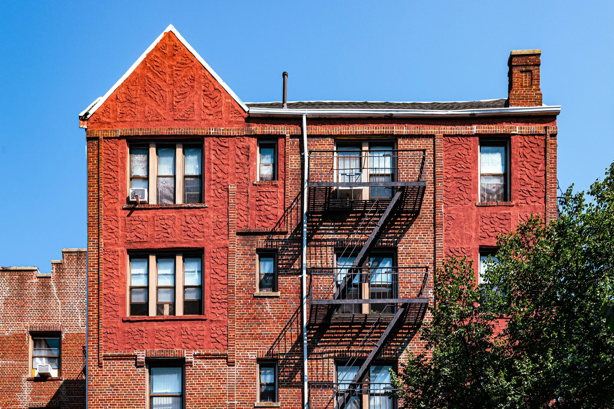
By the 1910s, Homecrest was firmly established as a residential enclave. Its streets filled with detached frame houses, two-family homes, and small apartment buildings, many in Craftsman, Colonial Revival, or Neo-Renaissance styles. The nearby Sheepshead Bay BRT terminal (later the B/Q line) provided a direct commute to downtown Brooklyn and Manhattan, while Avenue U developed into a thriving shopping corridor.
During this era, Homecrest became home to successive waves of Jewish and Italian immigrants, who built synagogues, churches, and civic organizations that still shape the neighborhood’s culture. The Homecrest Presbyterian Church (1902) and the Kingsway Jewish Center (1928) became central institutions, while local schools such as P.S. 153 and James Madison High School (just beyond its borders) educated generations of Brooklynites.
Tree planting programs and park expansions along Ocean Parkway reinforced the suburban character envisioned by Ackerson decades earlier. The wide boulevards and uniform lot sizes lent the neighborhood a sense of order and calm unusual in New York City—a place where middle-class families could own modest homes within reach of the city’s core.
During the Great Depression, Homecrest weathered hardship better than many parts of Brooklyn, owing to its high rates of owner occupancy and strong local institutions. After World War II, the neighborhood entered a new phase of prosperity. Returning veterans and young families filled its homes, and new apartment buildings rose along East 12th to East 16th Streets, adding density without erasing the district’s residential charm.
Homecrest Video Coming Soon
Late 20th Century: Transition and Renewal
By the 1970s–1980s, Homecrest reflected the demographic transformation sweeping much of southern Brooklyn. The earlier Jewish and Italian populations were joined—and in many cases replaced—by Russian, Ukrainian, and other Eastern European immigrants, many arriving after the collapse of the Soviet Union. The neighborhood’s linguistic and cultural palette expanded dramatically: Russian signage appeared along Avenue U, and new kosher markets and bakeries opened beside Italian pizzerias and Chinese restaurants.
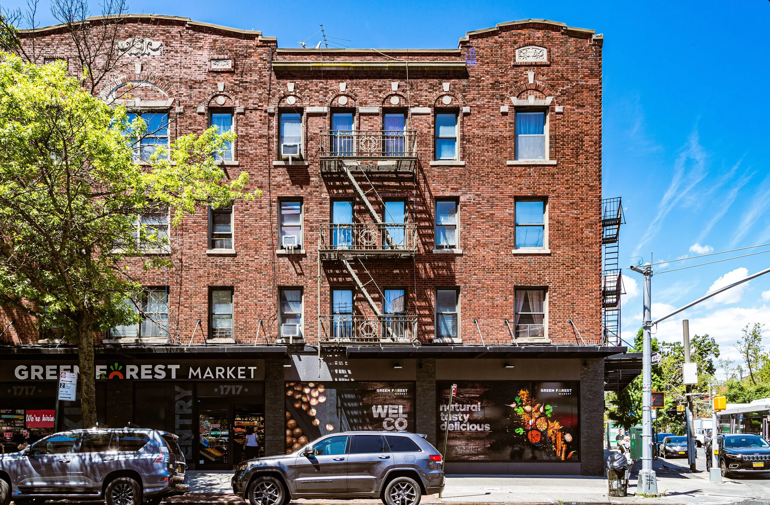
Despite these shifts, Homecrest retained its essential identity as a working- and middle-class residential community. Its housing stock remained well-maintained, and crime rates stayed low compared to much of the city. Community life revolved around schools, religious centers, and small businesses, with Coney Island Avenue serving as the commercial lifeline connecting residents to Brighton Beach, Midwood, and beyond.
In the 1990s, the area saw a quiet revival. Young professionals and immigrant families purchased homes, restoring older properties and strengthening the housing market. The neighborhood’s proximity to Sheepshead Bay, Marine Park, and Coney Island added to its appeal, as did access to multiple subway lines and express buses.
21st Century: Diversity and Steady Prosperity
In the 21st century, Homecrest stands as one of Brooklyn’s most stable and quietly diverse neighborhoods. Avenue U remains its commercial heart, now a vibrant mix of Chinese, Uzbek, Russian, and Caribbean shops and eateries. This cross-cultural energy coexists with the area’s deep-rooted Jewish and Italian heritage, making Homecrest one of the city’s more harmonious examples of generational coexistence.
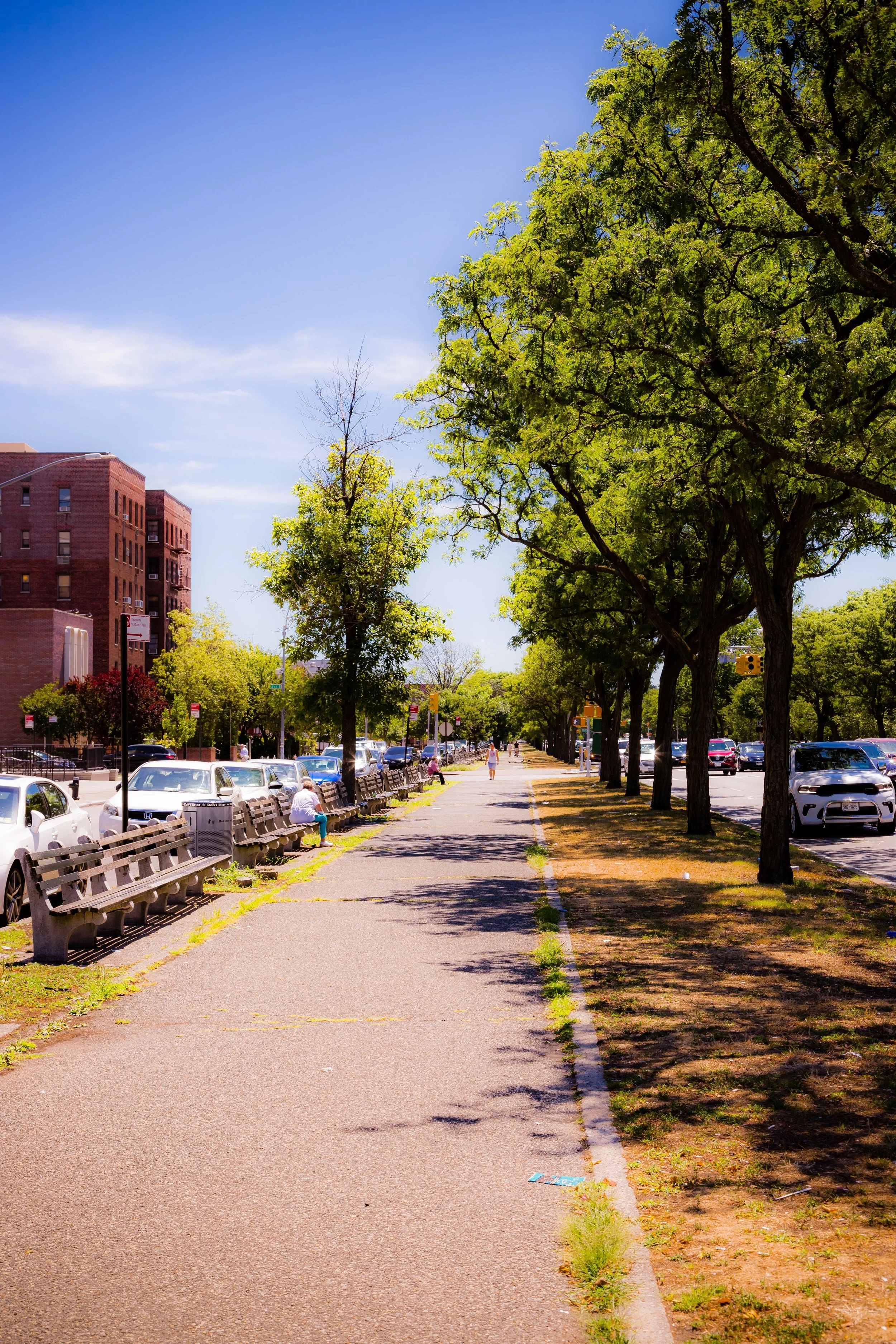
Architecturally, the neighborhood retains a strong sense of continuity. Along East 12th through East 19th Streets, the older two-story brick and limestone rowhouses stand beside newer semi-detached homes, while Ocean Parkway’s green median continues to serve as its western promenade—a leafy corridor where joggers, cyclists, and strollers trace the same path envisioned by Olmsted and Vaux over a century ago.
Rising property values and new development have brought modest change, particularly near Avenue U, where low-rise condominiums and mixed-use buildings have replaced older garages and bungalows. Yet Homecrest’s essential scale and atmosphere endure. It remains a neighborhood defined not by spectacle, but by stability—a quiet, livable pocket of southern Brooklyn where family ties and neighborly routines still define the day.
Homecrest Photo Gallery
Spirit and Legacy
Homecrest’s legacy is one of domestic continuity and quiet evolution. Born of early 20th-century suburban optimism, it has adapted gracefully to the cultural currents of a changing city without losing its core promise: a place to build a home, raise a family, and find community. Its modest streets and tree-lined avenues embody the enduring Brooklyn dream of urban life lived at a human scale.
New York City
Use this custom Google map to explore where every neighborhood in all five boroughs of New York City is located.
The Five Boroughs
One of New York City’s unique qualities is its organization in to 5 boroughs: Manhattan, Brooklyn, Queens, The Bronx, and Staten Island. These boroughs are part pragmatic administrative districts, and part vestiges of the region’s past. Each borough is an entire county in New York State - in fact, Brooklyn is, officially, Kings County, while Staten Island is, officially Richmond County. But that’s not the whole story …
Initially, New York City was located on the southern tip of Manhattan (now the Financial District) that was once the Dutch colony of New Amsterdam. Across the East River, another city was rising: Brooklyn. In time, the city planners realized that unification between the rapidly rising cities would create commercial and industrial opportunities - through streamlined administration of the region.
So powerful was the pull of unification between New York and Brooklyn that three more counties were pulled into the unification: The Bronx, Queens, and Staten Island. And on January 1, 1898, the City of New York unified two cities and three counties into one Greater City of New York - containing the five boroughs we know today.
But because each borough developed differently and distinctly until unification, their neighborhoods likewise uniquely developed. Today, there are nearly 390 neighborhoods, each with their own histories, cultures, cuisines, and personalities - and each with residents who are fiercely proud of their corner of The Big Apple.


