
BLOOMINGDALE DISTRICT
Manhattan
Geographic Setting
Stretching along Manhattan’s upper west side, the Bloomingdale District occupies the broad corridor west of Central Park, roughly from 96th Street to 110th Street, and from Broadway to the Hudson River. Though absorbed today within the neighborhoods of the Upper West Side and Manhattan Valley, Bloomingdale remains a historical name — one that recalls the district’s pastoral origins, its 19th-century estates, and its evolution into one of New York’s most cultured and architecturally layered residential enclaves. With its commanding views of the Hudson and its proximity to the park’s northern woods, Bloomingdale is the quieter, introspective counterpart to the grand boulevards further downtown.
Etymology and Origins
The name Bloomingdale is among Manhattan’s oldest. It derives from the Dutch Bloemendaal — meaning “vale of flowers” or “blooming valley” — the name of a village near Haarlem in the Netherlands. Dutch settlers applied it to this region in the 17th century, describing its fertile landscape of meadows, orchards, and wooded hills that sloped gently toward the Hudson River.
In colonial days, the Bloomingdale Road (laid out in 1703 and later absorbed into Broadway) connected the town of Harlem with the farms and country estates lining the western shore. Along its route, wealthy New Yorkers built villas, taverns, and resorts that made Bloomingdale a favored rural retreat long before Central Park or the modern grid existed.
The Neighborhood
18th–Early 19th Century: A Country Hamlet on the Hudson
During the 18th and early 19th centuries, Bloomingdale was sparsely settled, dotted with farms and manor houses that enjoyed sweeping river views. Estates such as Apthorp Farm, Clendening Farm, and Stryker’s Bay defined the area’s landscape. The Apthorp Mansion, built around 1764 near present-day 91st Street, stood as one of the city’s grandest Georgian houses, surrounded by orchards and formal gardens.
During the American Revolution, the Bloomingdale Road became a strategic route for both Continental and British troops. In the postwar decades, the district regained its bucolic calm, serving as home to wealthy merchants who sought respite from the crowded city below Canal Street.
By the 1820s, however, Manhattan’s inexorable northward expansion began to encroach. The city’s Commissioners’ Plan of 1811, which imposed its rectilinear grid across the island, cut through the rolling landscape of Bloomingdale, erasing much of its natural topography. Though the estates lingered for another half-century, their fate was sealed: the countryside would become a city.
Mid-19th Century: Institutions and Transformation
The transformation from rural to urban began in earnest in the mid-1800s. As New York’s population surged, the city sought new sites for hospitals, schools, and asylums. The Bloomingdale Asylum for the Insane, founded in 1821 by the New York Hospital, occupied a vast tract between 114th and 120th Streets — its landscaped grounds embodying the 19th-century ideal of therapeutic seclusion. Though the asylum later relocated to White Plains (1894), its legacy endures in the name Bloomingdale Insane Asylum, which later lent its land to Columbia University.
Further south, modest residential development began to appear by the 1860s, spurred by the opening of Central Park (1858) and the extension of streetcar lines along Broadway and Columbus Avenue. The Bloomingdale District thus evolved from a pastoral hamlet into a middle-class suburb within the city.
Late 19th Century: The Urban Bloom
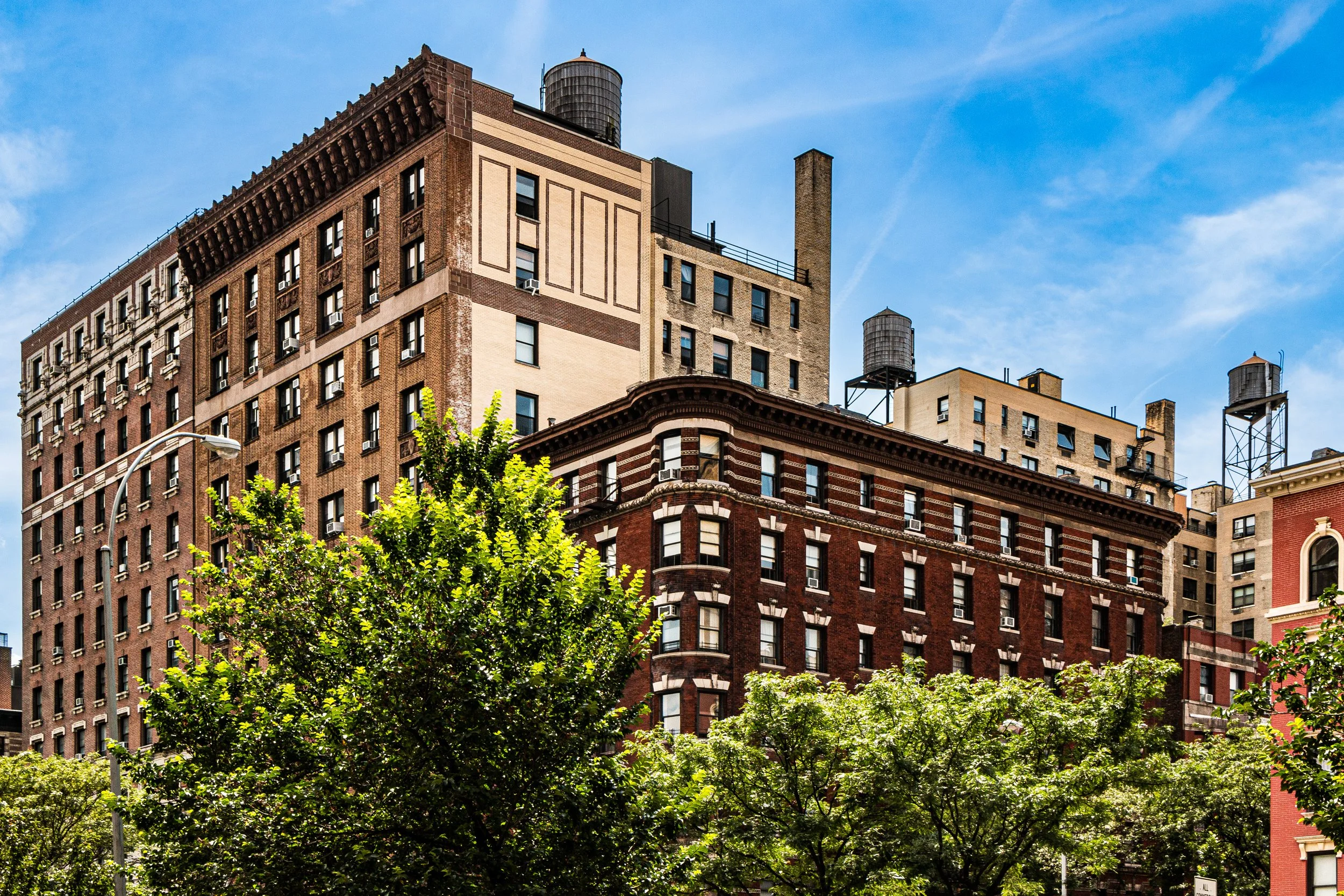
By the late 1800s, Bloomingdale had fully entered the urban age. Rows of brownstone and limestone rowhouses, built in the Romanesque, Queen Anne, and Renaissance Revival styles, filled the streets from 96th to 110th. Developers promoted the area as “the new Riverside,” emphasizing its elevation, fresh air, and proximity to the Hudson. The construction of Riverside Drive, completed in the 1890s, crowned the transformation — a grand boulevard curving along the bluffs, lined with ornate apartment buildings and offering panoramic river views.
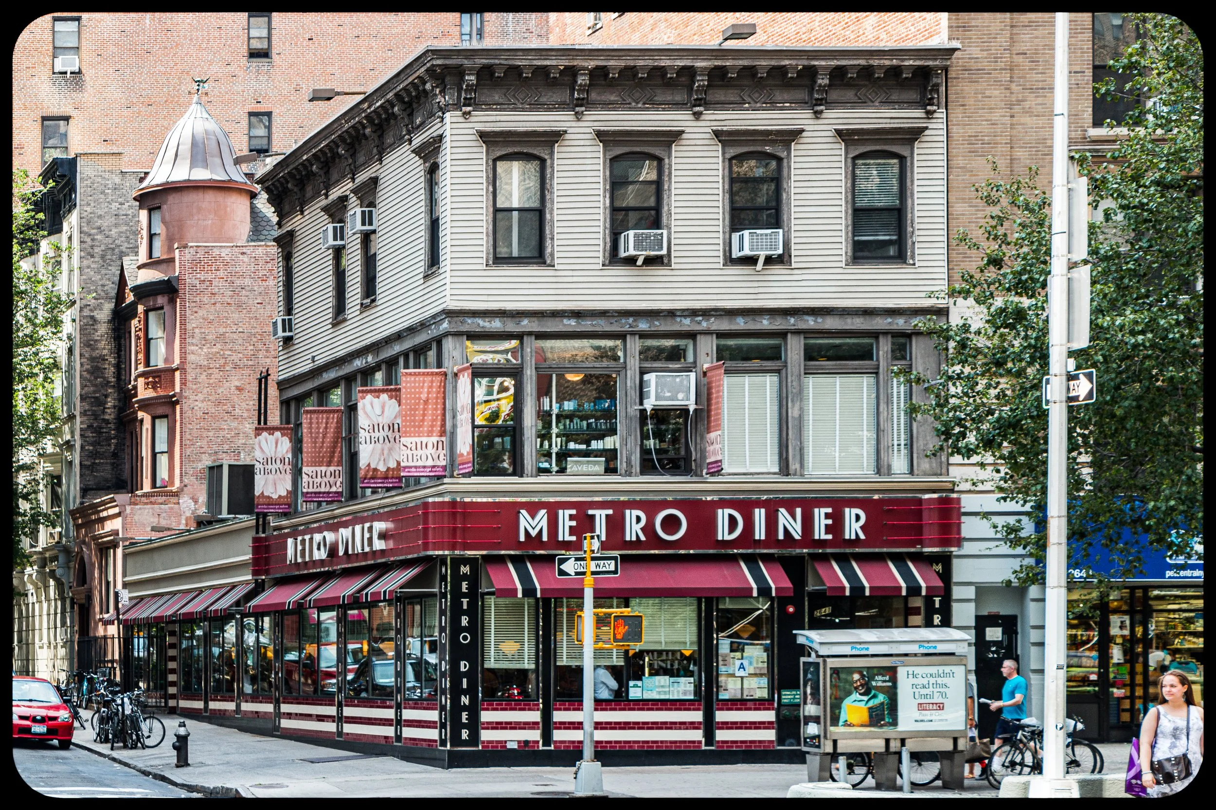
Notable among these early apartment houses were The Belleclaire (1903) and The Astor (1901), both masterpieces of turn-of-the-century elegance. On the interior streets, smaller rowhouses and prewar walk-ups housed a diverse middle-class population — teachers, musicians, and professionals drawn by the district’s beauty and affordability. Churches such as St. Michael’s Episcopal (1890) and Church of the Ascension became architectural anchors.
Bloomingdale District Photograph Video
Early 20th Century: Culture, Community, and Continuity
In the early 20th century, the Bloomingdale District developed a distinctive civic and cultural identity. Its schools and libraries, particularly the Bloomingdale Branch of the New York Public Library (opened 1896), fostered education and community life. The neighborhood’s proximity to Columbia University, Teachers College, and Union Theological Seminary infused it with an academic and progressive spirit.
By the 1930s, the district had become home to an increasingly diverse population, including Jewish, Italian, and Irish-American families. Its riverfront remained industrial — dotted with warehouses and the New York Central Railroad’s freight lines — but inland, the streets retained their residential calm.
Mid-20th Century: Decline and Renewal
Like much of the Upper West Side, Bloomingdale experienced decline in the postwar decades. Many prewar buildings fell into neglect, and urban renewal projects in the 1950s and 1960s — including the construction of public housing complexes such as the Frederick Douglass Houses — altered the neighborhood’s scale and demographics. Yet even amid hardship, a strong sense of local identity endured.
The name “Bloomingdale” persisted in institutions and civic groups, a reminder of the district’s long continuity. Community activism flourished in the 1970s, when residents fought to preserve historic housing stock and advocate for affordable housing. Their efforts succeeded in stabilizing the area and setting the stage for its later revival.
Late 20th–21st Century: Revival by the Park and the River
By the 1980s and 1990s, Bloomingdale — often subsumed under the broader banner of the Upper West Side — experienced a renaissance. The renovation of Riverside Park, led by the Riverside Park Fund, restored Frederick Law Olmsted’s original vision of a continuous greenway. At the same time, the historic brownstones and prewar apartments that had fallen into disrepair were restored by a new generation of residents.
Today, the district embodies the equilibrium that defines much of the modern Upper West Side: cosmopolitan yet neighborly, intellectual yet grounded. The streets between West End Avenue and Amsterdam Avenue retain a human scale, shaded by mature trees and lined with turn-of-the-century architecture.
The population reflects a cross-section of New York itself — longtime residents, academics, artists, and young families who value the area’s calm, its access to both Central Park’s North Woods and Riverside Park’s promenades, and its proximity to cultural institutions.
Bloomingdale District Photo Gallery
Architecture and Atmosphere
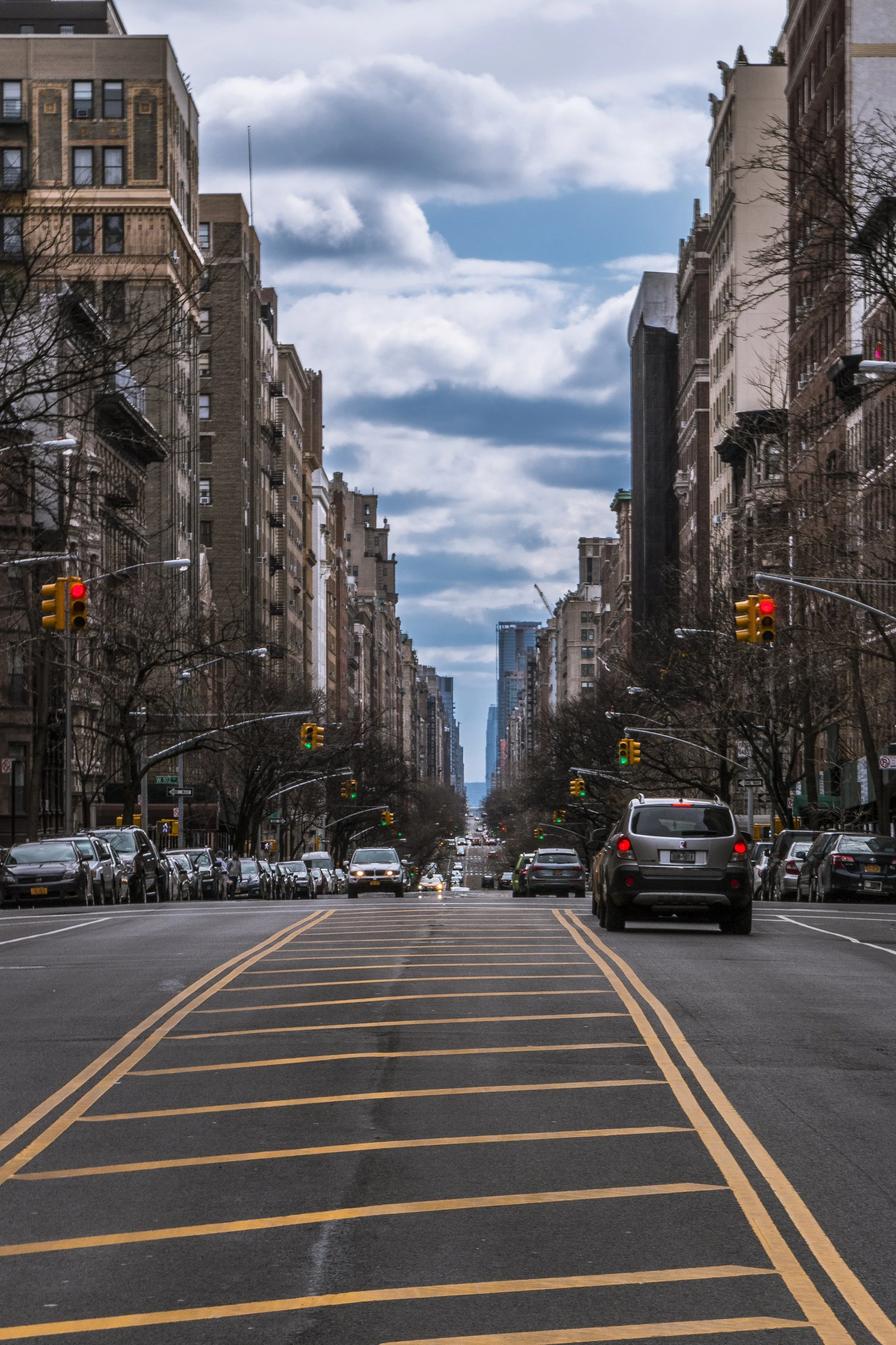
Architecturally, Bloomingdale is a study in restrained grandeur. Brownstone stoops, Beaux-Arts façades, and Art Deco apartment houses coexist within a grid softened by trees and elevation changes. On Riverside Drive, light shifts across limestone towers as barges drift below on the Hudson; inland, narrow side streets echo with the quiet rhythm of daily life — footsteps, school bells, and the hum of Broadway traffic just a block away.
The atmosphere is neither hurried nor aloof. It carries the continuity of a place that has grown organically over centuries, adapting without losing itself. The very air seems to hold memory: of orchards turned to brownstones, of asylum gardens turned to classrooms, of a vale that continues, somehow, to bloom.
Spirit and Legacy
The Bloomingdale District’s legacy is one of endurance through transformation. It has journeyed from Dutch farmland to genteel suburb, from middle-class enclave to modern urban haven, without severing the thread that binds its past to its present.
New York City
Use this custom Google map to explore where every neighborhood in all five boroughs of New York City is located.
The Five Boroughs
One of New York City’s unique qualities is its organization in to 5 boroughs: Manhattan, Brooklyn, Queens, The Bronx, and Staten Island. These boroughs are part pragmatic administrative districts, and part vestiges of the region’s past. Each borough is an entire county in New York State - in fact, Brooklyn is, officially, Kings County, while Staten Island is, officially Richmond County. But that’s not the whole story …
Initially, New York City was located on the southern tip of Manhattan (now the Financial District) that was once the Dutch colony of New Amsterdam. Across the East River, another city was rising: Brooklyn. In time, the city planners realized that unification between the rapidly rising cities would create commercial and industrial opportunities - through streamlined administration of the region.
So powerful was the pull of unification between New York and Brooklyn that three more counties were pulled into the unification: The Bronx, Queens, and Staten Island. And on January 1, 1898, the City of New York unified two cities and three counties into one Greater City of New York - containing the five boroughs we know today.
But because each borough developed differently and distinctly until unification, their neighborhoods likewise uniquely developed. Today, there are nearly 390 neighborhoods, each with their own histories, cultures, cuisines, and personalities - and each with residents who are fiercely proud of their corner of The Big Apple.


