TRAVIS-CHELSEA
Staten Island
Geographic Setting
Bounded by South Avenue to the north, Travis Avenue to the northeast, Freshkills Park to the east and south, and the Arthur Kill to the west, Travis–Chelsea occupies the inland western flank of Staten Island—a landscape defined by marshland edges, tidal creeks, and broad stretches of reclaimed meadow. The neighborhood sits at the western end of Victory Boulevard, where the road terminates at the Travis Bridge spanning Fresh Kills Creek. To its west, the shoreline of the Arthur Kill marks the borough’s frontier with New Jersey.
Unlike many of Staten Island’s coastal neighborhoods, Travis–Chelsea lies at the meeting point of settlement and wilderness. It is one of the few communities bordered almost entirely by protected parkland, with Freshkills Park, one of the world’s largest ecological reclamation projects, wrapping around its eastern and southern edges. The result is a quiet, almost rural enclave—narrow lanes, modest homes, and wide skies—surrounded by water, grasslands, and the emerging natural landscape of a new urban wilderness.
Etymology
The community’s dual name reflects its layered history. The western portion—Travis—honors Captain Jacob Travis, an 18th-century sea captain who settled in the area and operated a ferry across the Arthur Kill to Carteret, New Jersey. The ferry landing became known as Travis Landing or Travisville, eventually shortened to Travis. The eastern portion, Chelsea, derives from an early 19th-century land development company that sought to evoke the genteel English district of the same name.
Although the two names originated from separate ventures, their boundaries merged over time into a single identity: Travis–Chelsea. Together, they symbolize the neighborhood’s dual heritage—one rooted in working maritime life, the other in aspirations of suburban gentility. Today, both names endure, often used interchangeably, to describe a community defined by endurance and self-reliance.
The Neighborhood
Origins through the 19th Century
The story of Travis–Chelsea begins in the colonial era, when Staten Island’s western shore was a patchwork of tidal meadows, salt marshes, and wooded uplands. The Lenape peoples, the island’s original inhabitants, fished and hunted in the rich estuarine environment along the Arthur Kill. European settlers—primarily Dutch and English—arrived in the late 1600s, establishing small farms and ferry routes that linked Staten Island with the New Jersey mainland.
By the mid-1700s, the settlement at the mouth of Fresh Kills Creek was already a minor transportation hub. Captain Jacob Travis operated a ferry service across the Arthur Kill, providing a critical link between Staten Island’s interior and New Jersey’s growing ports. The ferry landing became the nucleus of a small but stable village, home to farmers, boatmen, and tradespeople.
In the 19th century, the area evolved into a tight-knit rural community known for its agricultural production, oyster harvesting, and small industries. The rich tidal flats provided abundant shellfish, while the uplands supported orchards and livestock. The neighborhood’s relative isolation—cut off from the rest of Staten Island by creeks and wetlands—fostered a self-sufficient way of life. Local institutions, including the Travis Baptist Church (1850s) and the Travis Fire Department, served as anchors of civic life.
Chelsea, to the east, developed later in the century as landowners subdivided tracts for residential use, though the marshy terrain limited large-scale settlement. The area remained semi-rural, characterized by scattered homes, barns, and open fields.
Early 20th Century: Industry, Ferry Life, and Tradition
At the dawn of the 20th century, Travis–Chelsea remained one of Staten Island’s most distinctive small towns—a place where ferries and farms still defined the local rhythm. The Travis Ferry, which operated from the late 18th century until the 1930s, remained a lifeline for trade and travel, connecting farmers to markets in New Jersey. Victory Boulevard, then known as Richmond Turnpike, was extended westward to the ferry, linking Travis more directly to the island’s central and northern regions.
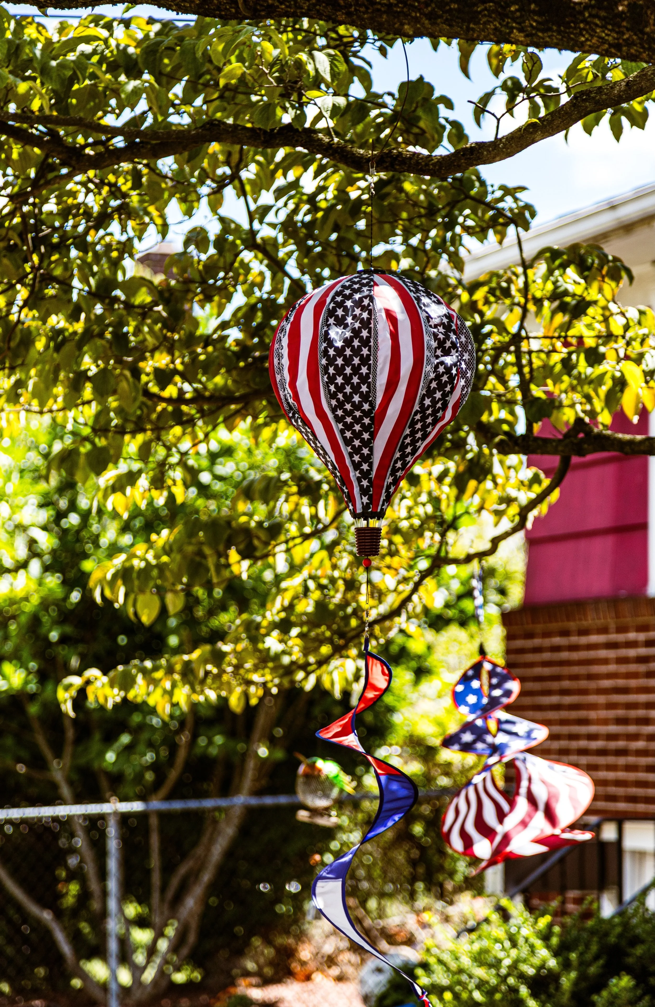
The early decades of the century saw the arrival of small industrial enterprises along the Arthur Kill, including boatyards, oil depots, and repair shops. Yet the village retained its rural intimacy. Wooden cottages and simple two-story homes lined the quiet streets branching from Victory Boulevard. Social life revolved around the Travis Independence Day Parade, first held in 1911, which quickly became one of the borough’s most cherished traditions. Now recognized as the oldest continuous Fourth of July parade in the United States, it remains a defining event for the neighborhood—an annual expression of patriotism and community pride.
The Chelsea section, though less densely populated, hosted small industries and warehouses related to the shipping trade. Its proximity to Fresh Kills Creek made it a natural site for boat repair and storage. Despite modest growth, Travis–Chelsea retained its pastoral character well into the mid-20th century, long after much of Staten Island had begun to suburbanize.
Travis-Chelsea Video Coming Soon
Mid–Late 20th Century: Isolation and Environmental Change
The mid-20th century transformed the land around Travis–Chelsea more profoundly than perhaps any other Staten Island neighborhood. In 1948, New York City opened the Fresh Kills Landfill—then the largest in the world—on the marshes east of the community. For half a century, Travis lived in the shadow of the landfill’s towering mounds, enduring the odors, truck traffic, and stigma associated with what became a global symbol of urban waste.
Yet even as the city’s refuse arrived by barge, Travis–Chelsea endured with characteristic tenacity. The community remained largely intact, buffered by its geography and united by a deep sense of local identity. Residents continued to host the Independence Day Parade and maintain civic institutions like the Travis Civic Association and Engine Company 112, one of Staten Island’s oldest volunteer fire companies.
Infrastructure improvements—including the construction of the West Shore Expressway (Route 440) in the 1970s and the Outerbridge Crossing decades earlier—enhanced access but also reinforced the community’s sense of being distinct and enclosed. Chelsea’s industrial fringe expanded modestly, housing fuel depots and distribution facilities, while the residential core of Travis preserved its small-town feel: porches, gardens, and quiet nights broken only by the whistle of freight trains or the hum of the Arthur Kill.
By the late 20th century, environmental awareness began to shift the narrative. The closure of the Fresh Kills Landfill in 2001 marked the beginning of a remarkable transformation. The site’s conversion into Freshkills Park, an ambitious ecological reclamation project covering over 2,200 acres, promised to restore the landscape and renew the community’s connection to nature.
21st Century: Renewal beside the Reclaimed Wilderness
In the 21st century, Travis–Chelsea stands at the intersection of memory and renewal. The Freshkills Park project—still unfolding—has transformed the community’s identity from a landfill neighbor to a steward of one of the world’s largest ecological restorations. Wetlands, meadows, and woodlands have replaced refuse mounds, and the rewilded landscape now attracts herons, egrets, deer, and hawks where garbage trucks once rumbled. For Travis residents, the park’s emergence represents not only environmental redemption but also validation of decades of perseverance.
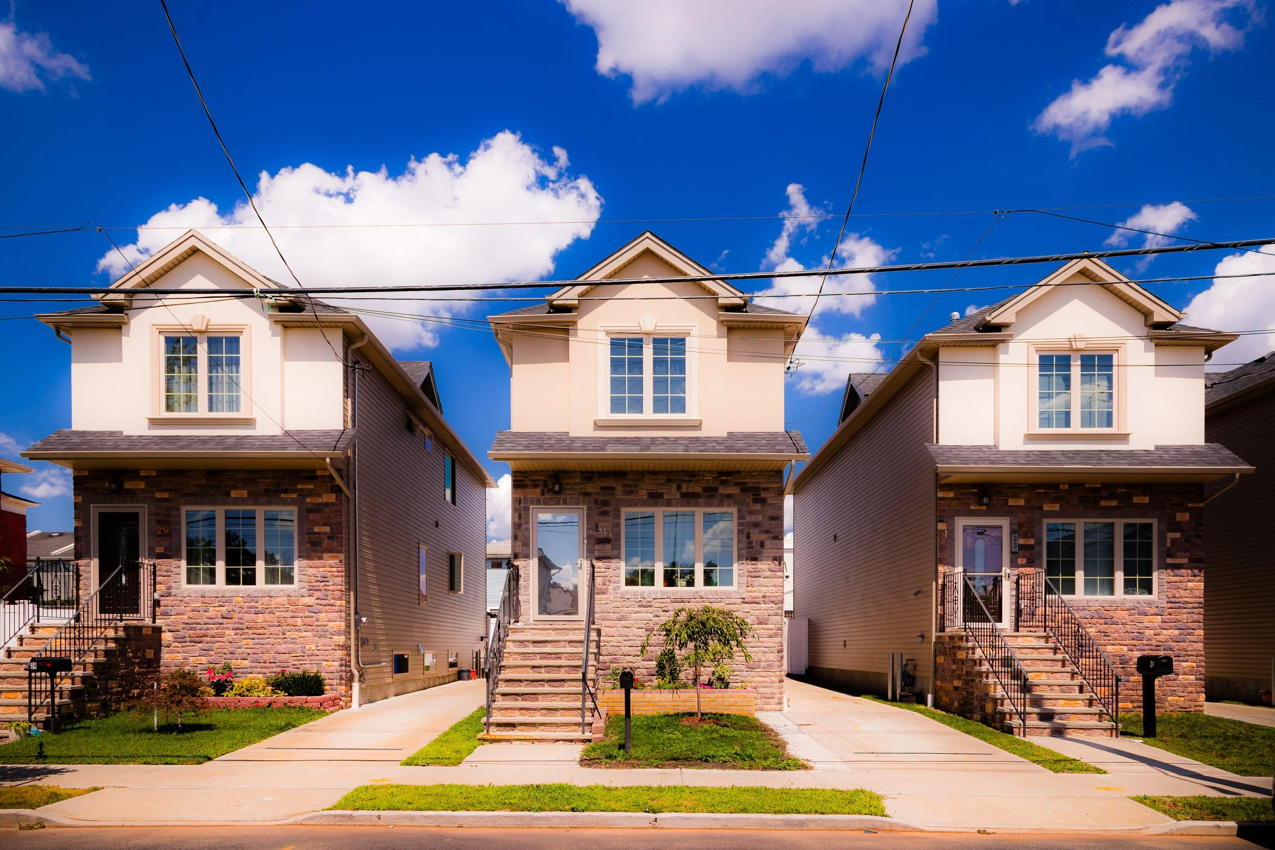
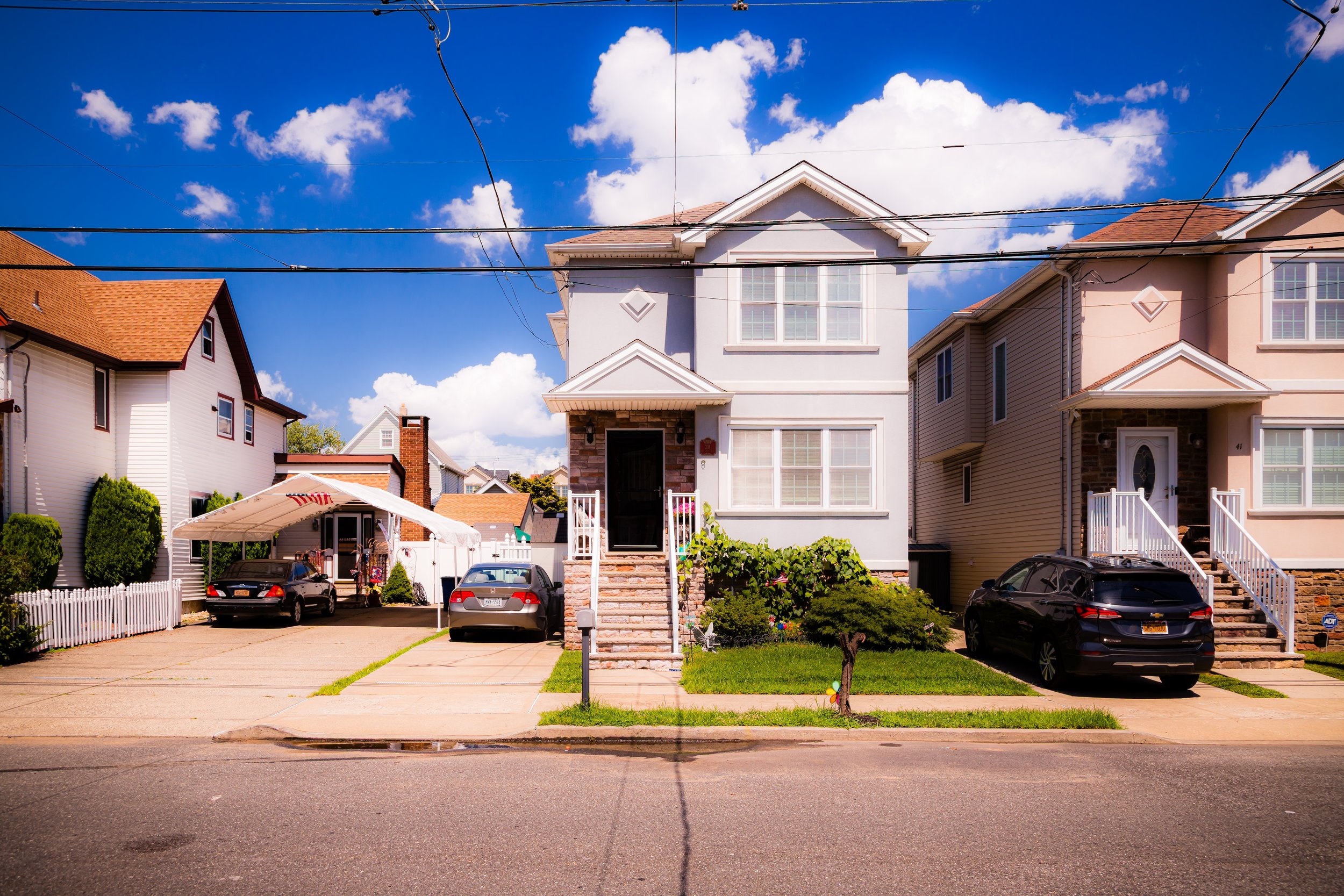
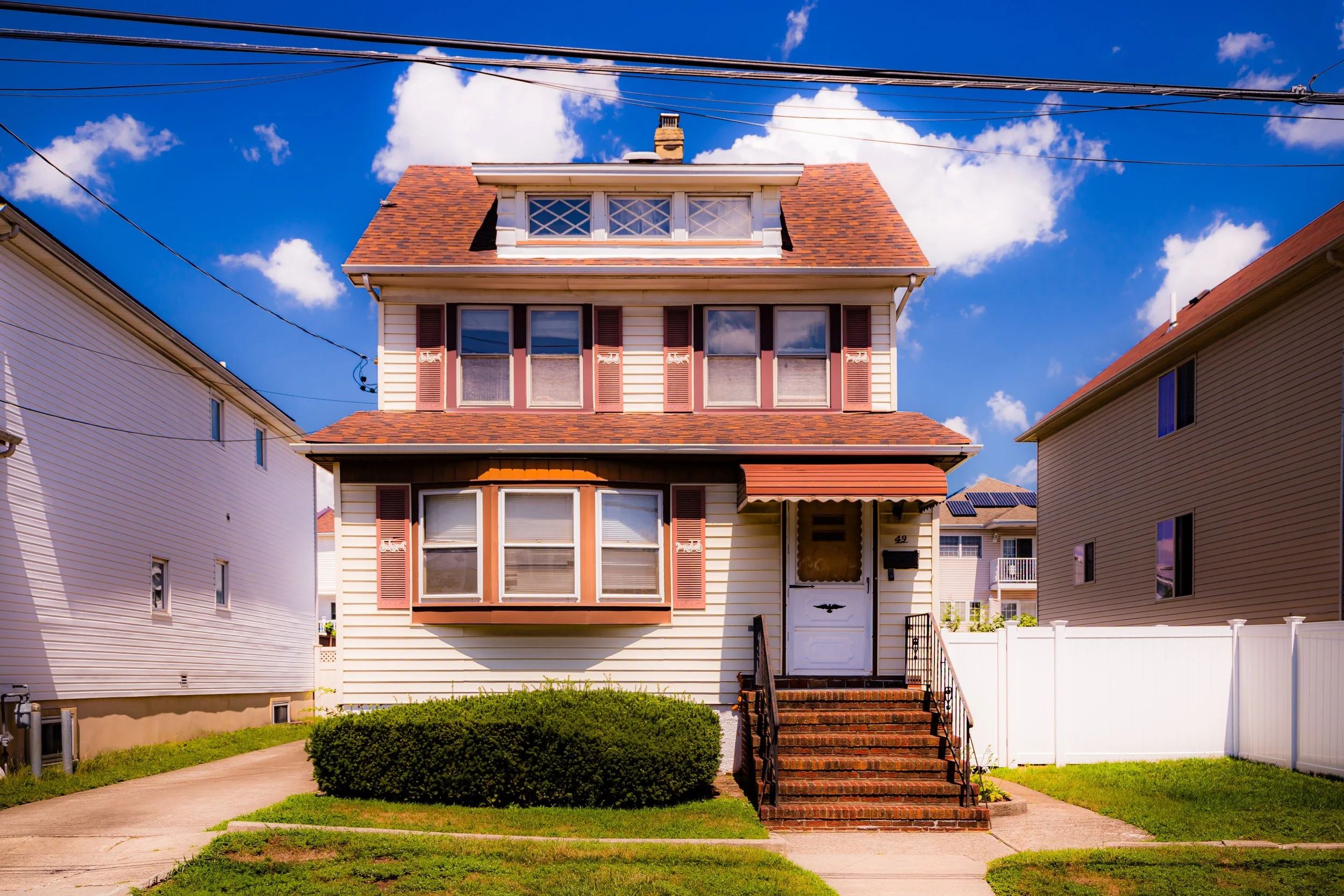
The neighborhood itself retains its village character: modest frame houses, tree-shaded streets, and a pace of life more reminiscent of small-town America than metropolitan New York. Victory Boulevard, still the community’s spine, hosts diners, delis, and locally owned shops that serve residents who have often lived here for generations.
Civic life continues to revolve around tradition. The Travis Independence Day Parade, still held every July 4th, draws crowds from across Staten Island and beyond—a living thread connecting the past to the present. Community groups advocate for balanced development and the protection of the wetlands that surround the neighborhood on nearly all sides. Meanwhile, Chelsea’s industrial corridor, once dominated by oil tanks and warehouses, has seen reinvestment as logistics and light manufacturing adapt to modern sustainability standards.
Though modernization has reached its borders, Travis–Chelsea remains an anomaly within New York City: a quiet, semi-rural enclave defined not by density but by endurance and by its unique dialogue with the natural world.
Travis-Chelsea Photo Gallery
Spirit and Legacy
The spirit of Travis–Chelsea lies in its resilience and rootedness. For more than two centuries, this small village at Staten Island’s western edge has endured floods, ferries, landfills, and renewal—never losing its sense of self. Its legacy is one of steadfast community spirit, where generations of families have stayed to tend gardens, march in parades, and watch the tides shift along the Arthur Kill.
Here, the boundaries between city and countryside blur: one side a living reminder of New York’s industrial past, the other a vast park reclaiming its ecological future. Travis–Chelsea endures between them as the human heart of this transformation—a place where history, environment, and belonging converge.
New York City
Use this custom Google map to explore where every neighborhood in all five boroughs of New York City is located.
The Five Boroughs
One of New York City’s unique qualities is its organization in to 5 boroughs: Manhattan, Brooklyn, Queens, The Bronx, and Staten Island. These boroughs are part pragmatic administrative districts, and part vestiges of the region’s past. Each borough is an entire county in New York State - in fact, Brooklyn is, officially, Kings County, while Staten Island is, officially Richmond County. But that’s not the whole story …
Initially, New York City was located on the southern tip of Manhattan (now the Financial District) that was once the Dutch colony of New Amsterdam. Across the East River, another city was rising: Brooklyn. In time, the city planners realized that unification between the rapidly rising cities would create commercial and industrial opportunities - through streamlined administration of the region.
So powerful was the pull of unification between New York and Brooklyn that three more counties were pulled into the unification: The Bronx, Queens, and Staten Island. And on January 1, 1898, the City of New York unified two cities and three counties into one Greater City of New York - containing the five boroughs we know today.
But because each borough developed differently and distinctly until unification, their neighborhoods likewise uniquely developed. Today, there are nearly 390 neighborhoods, each with their own histories, cultures, cuisines, and personalities - and each with residents who are fiercely proud of their corner of The Big Apple.


