RED HOOK
Brooklyn
Geographic Setting
Jutting into the Upper New York Bay like a weathered thumb of the old waterfront, Red Hook occupies one of the most storied and atmospheric landscapes in Brooklyn. It is bounded by the Gowanus Expressway and Hamilton Avenue to the north and east, Buttermilk Channel and the Erie Basin to the south, and New York Harbor to the west. Cut off from much of the borough by highways and industrial zones, Red Hook remains geographically distinct — a peninsular village within the city, its streets lined with brick warehouses, cobblestones, and the lingering scent of salt air.
Etymology and Origins
The name Red Hook (originally Roode Hoek) dates back to 1636, when Dutch settlers first mapped this marshy promontory of Brooklyn’s southwestern shore. “Roode” referred to the reddish hue of the clay soil; “Hoek” meant “point” or “corner.” The term perfectly described the geography — a red point of land extending into the harbor.
Before colonization, this low-lying area formed part of the territory of the Canarsee Lenape, who fished its tidal creeks and gathered oysters along its shores. Dutch farmers drained portions of the marsh and planted crops, but for centuries Red Hook remained largely isolated, accessible only by boat or by poor roads through the meadows of Gowanus.
The Neighborhood
18th and 19th Centuries: From Marsh to Maritime Power
During the American Revolution, Red Hook gained early fame as the site of Fort Defiance, hastily built in 1776 to defend the harbor against the British fleet. The fort’s cannons fired the first shots of the Battle of Brooklyn, though the Americans were soon forced to retreat. The name “Defiance” lingered — an apt prelude to the neighborhood’s character.
The true transformation began in the 1840s and 1850s, when industrialist William Beard undertook an ambitious land reclamation project, filling the tidal flats to create deepwater docks. His Erie Basin (completed 1864) became one of the largest private shipping terminals in the world, capable of docking ocean-going vessels and handling cargo for the newly opened Erie Canal.
Red Hook’s waterfront exploded into activity. Massive warehouses stored grain, sugar, and cotton; shipyards hammered steel and oak; and the Atlantic Basin teemed with schooners and barges. Immigrants from Ireland, Germany, Norway, and later Italy and Puerto Rico settled the narrow streets, living in modest rowhouses and tenements near the docks where they worked.
The waterfront was both perilous and prosperous — a world of longshoremen, sailors, and saloons. Yet within the roughness lay deep community bonds: churches such as Visitation of the Blessed Virgin Mary (1855) and Sacred Hearts–St. Stephen’s became anchors for generations of working families.
Early 20th Century: The Port of Promise and Hardship
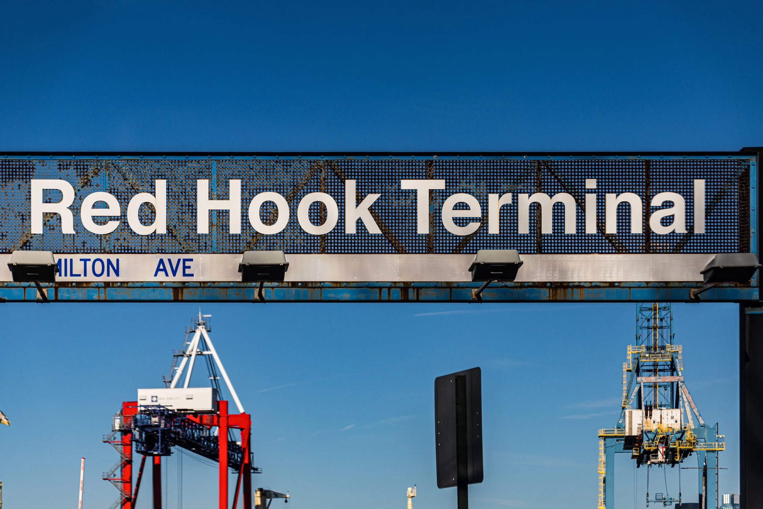
By the early 1900s, Red Hook was one of the busiest ports in the United States. Its waterfront bustled with cargo ships and tugs; the Red Hook Grain Terminal, Todd Shipyards, and Atlantic Basin Iron Works employed thousands. The opening of the Hamilton Avenue Ferry and later the Brooklyn–Battery Tunnel linked it more closely to the mainland, but the neighborhood retained its maritime grit and insularity.
During the Depression, Red Hook was hard hit but unbroken. In 1939, the Red Hook Houses, designed by the New York City Housing Authority, were built as one of the city’s first large-scale public housing projects — a modernist experiment intended to replace decaying tenements with light, air, and greenery. Covering forty acres, the complex became home to a large working-class population, many with roots in the shipping trades.
World War II brought renewed vigor: the docks thrived, and shipbuilding reached fever pitch. But after the war, containerization — the new system of standardized cargo — rendered the old finger piers obsolete. Shipping moved to deeper ports in New Jersey, and Red Hook’s economy collapsed.
Red Hook Photographic Video
Late 20th Century: The Seeds of Revival
In the 1980s and 1990s, Red Hook’s fortunes began to shift. Artists and small manufacturers reclaimed abandoned warehouses for studios and workshops. The Waterfront Museum, founded in 1985 aboard a restored barge, anchored the area’s maritime revival. Civic groups like Added Value, Red Hook Initiative, and South Brooklyn Industrial Development Corporation promoted local enterprise and youth engagement.
Gradually, the old shipping buildings found new life. Pioneer Works, established in a former iron factory, became a center for art and science; Fairway Market opened in a converted warehouse in 2006, signaling the return of commerce to the docks. The IKEA complex, built nearby in 2008, drew both controversy and infrastructure improvements.
21st Century: Waterfront Renaissance and Cautious Renewal
Today, Red Hook stands at a crossroads of preservation and transformation. Its cobblestone streets, maritime relics, and panoramic harbor views make it one of Brooklyn’s most distinctive neighborhoods. Artists’ studios coexist with small factories; craft breweries and bakeries operate beside ship repair yards. Ferries now link Red Hook to Manhattan, restoring the maritime connection that once defined it.
The population remains diverse — Puerto Rican, African-American, Italian, and new creative professionals — bound by a shared attachment to place. Community gardens, art spaces, and the Red Hook Community Farm exemplify grassroots revitalization, while ongoing investments in flood resilience reflect lessons from Hurricane Sandy (2012), which inundated the low-lying peninsula but could not extinguish its spirit.
Red Hook Photo Gallery
Architecture and Atmosphere
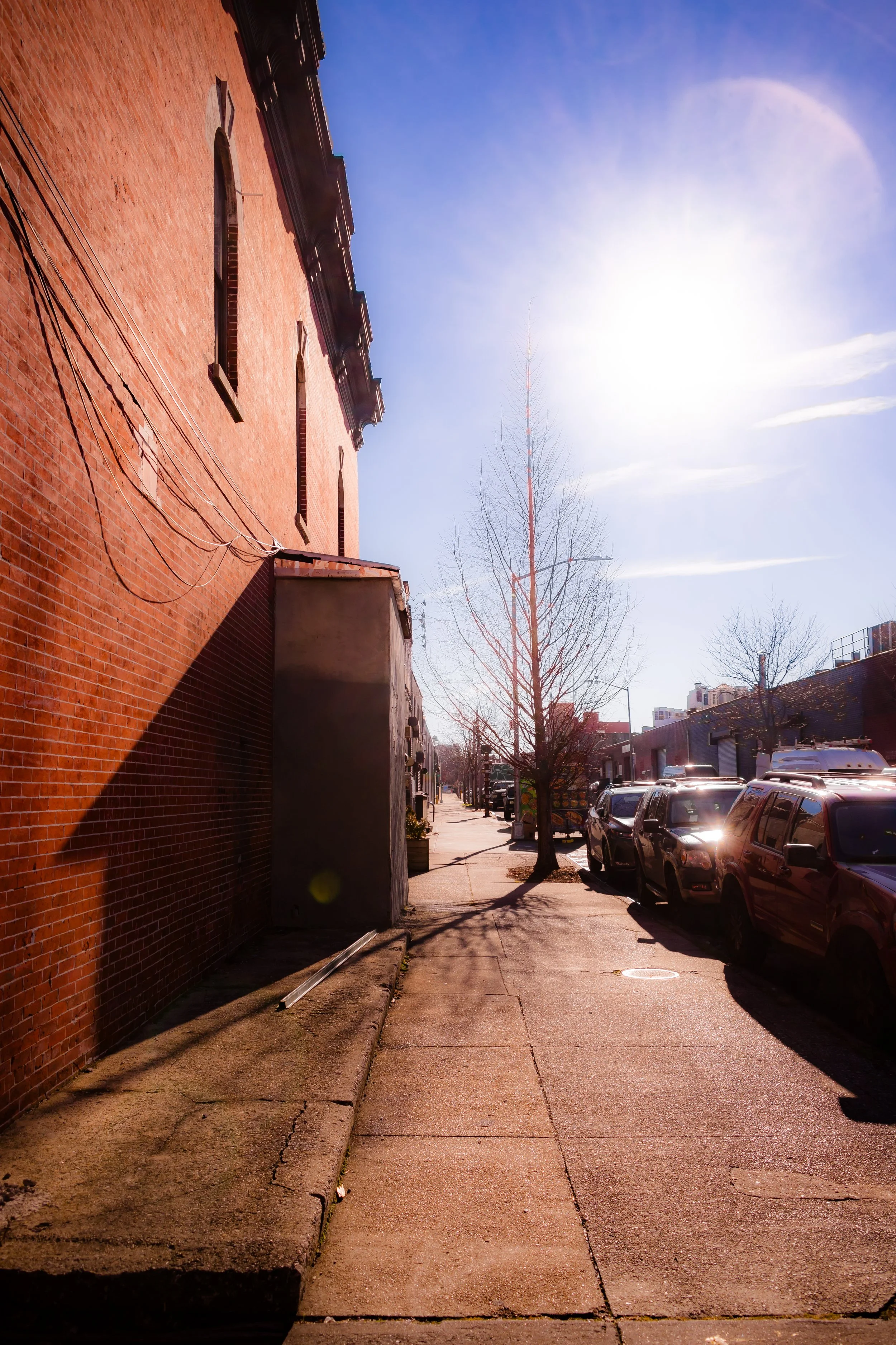
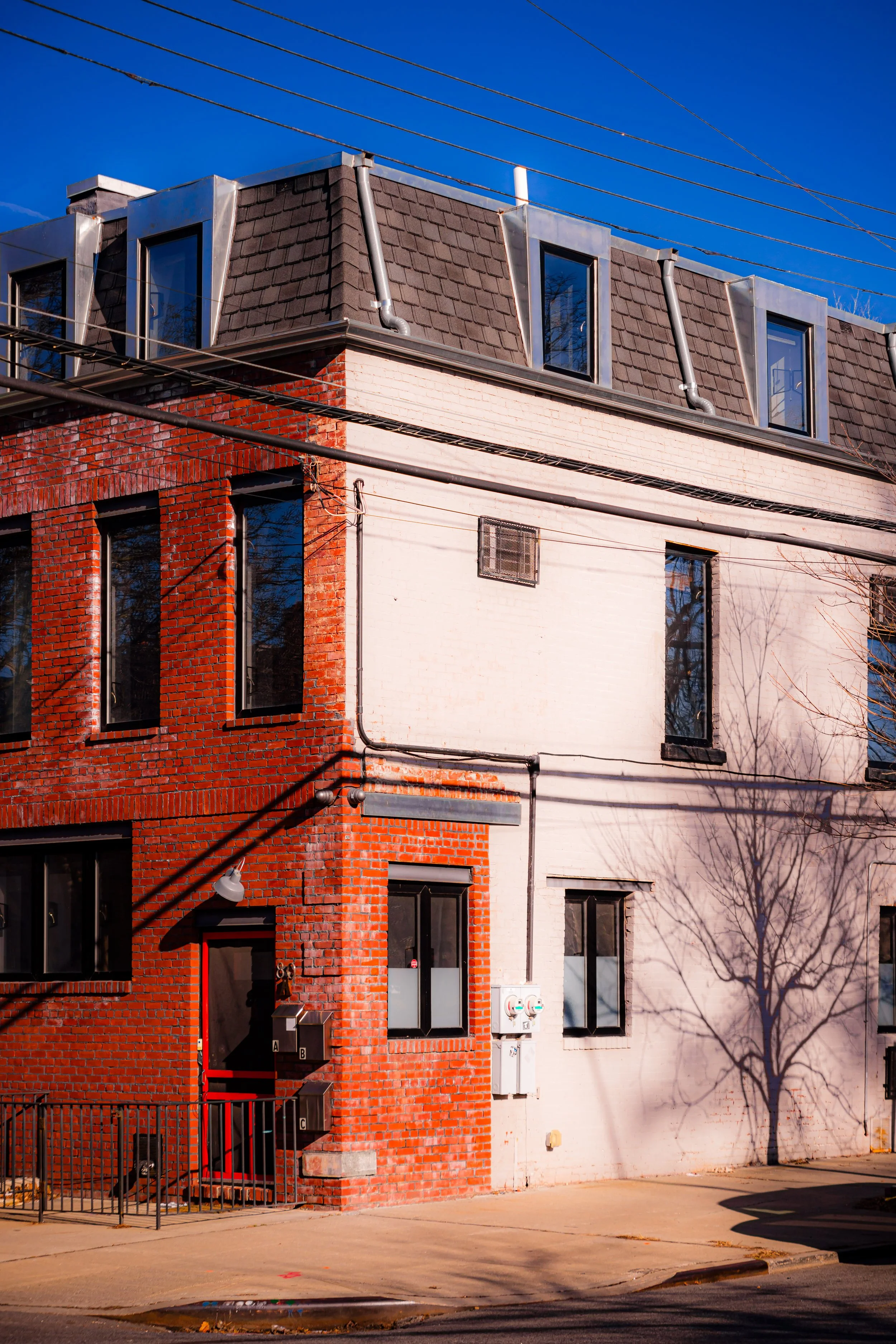
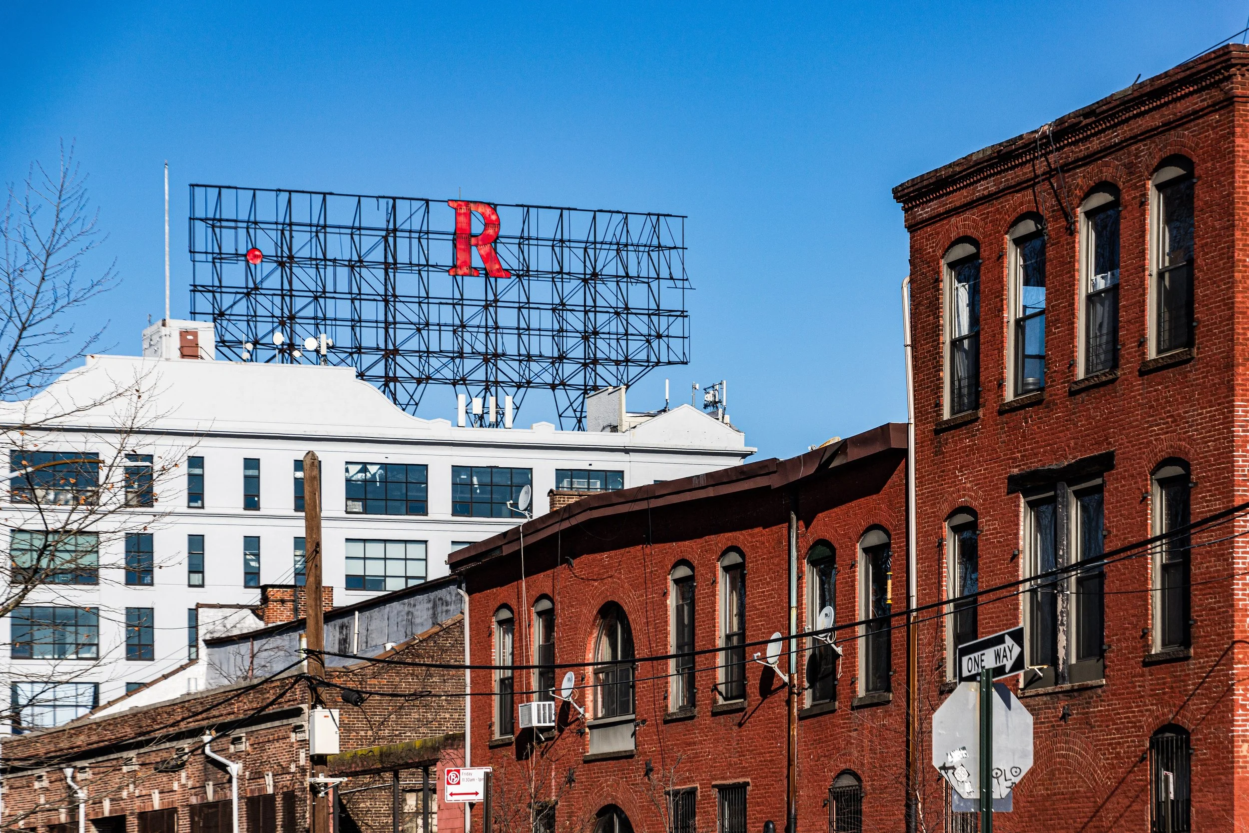
Architecturally, Red Hook is a palimpsest of Brooklyn’s industrial age. Massive brick warehouses, weathered piers, and 19th-century rowhouses define its texture. The Reed Street Warehouse, Todd Shipyards cranes, and Erie Basin bulkheads remain powerful reminders of its maritime past. Along Van Brunt Street, cast-iron façades frame new life — cafés, galleries, and workshops preserving the neighborhood’s rugged authenticity.
The atmosphere is unique: open skies, salt air, and silence broken only by the creak of docks and the distant hum of ships. At dusk, sunlight gilds the red brick, and the Statue of Liberty stands visible across the harbor — close enough to seem part of the landscape. Few places in New York capture the dialogue between decay and endurance so vividly.
Spirit and Legacy
Red Hook’s legacy is that of the port reborn — a neighborhood that has endured centuries of tides, both literal and human. From Dutch farms to industrial powerhouse, from decline to renaissance, it has remained defined by self-reliance and grit.
New York City
Use this custom Google map to explore where every neighborhood in all five boroughs of New York City is located.
The Five Boroughs
One of New York City’s unique qualities is its organization in to 5 boroughs: Manhattan, Brooklyn, Queens, The Bronx, and Staten Island. These boroughs are part pragmatic administrative districts, and part vestiges of the region’s past. Each borough is an entire county in New York State - in fact, Brooklyn is, officially, Kings County, while Staten Island is, officially Richmond County. But that’s not the whole story …
Initially, New York City was located on the southern tip of Manhattan (now the Financial District) that was once the Dutch colony of New Amsterdam. Across the East River, another city was rising: Brooklyn. In time, the city planners realized that unification between the rapidly rising cities would create commercial and industrial opportunities - through streamlined administration of the region.
So powerful was the pull of unification between New York and Brooklyn that three more counties were pulled into the unification: The Bronx, Queens, and Staten Island. And on January 1, 1898, the City of New York unified two cities and three counties into one Greater City of New York - containing the five boroughs we know today.
But because each borough developed differently and distinctly until unification, their neighborhoods likewise uniquely developed. Today, there are nearly 390 neighborhoods, each with their own histories, cultures, cuisines, and personalities - and each with residents who are fiercely proud of their corner of The Big Apple.


