SUTTON PLACE
Manhattan
Geographic Setting
Bounded by East 53rd Street to the south and East 59th Street to the north, and stretching from Third Avenue eastward to the East River, Sutton Place is one of Manhattan’s most elegant and discreet residential enclaves—a serene pocket of refinement tucked between Midtown’s bustle and the quiet rhythm of the river. The neighborhood’s identity centers on the twin north–south thoroughfares of Sutton Place and Sutton Place South, which curve gently along the bluffs above the FDR Drive, forming a sequence of stately prewar apartment buildings, townhouses, and riverside gardens that feel more like a hidden village than a Midtown address.
Its elevated vantage offers panoramic views of Roosevelt Island and the Queensboro Bridge, whose steel lattice frames the skyline at the district’s northern end. To the west, First and Second Avenues serve as commercial corridors with cafés and corner markets, while the side streets—lined with sycamores and ivy-covered façades—retain a tranquility rare in Midtown. Sutton Place is defined by contrasts: the nearness of skyscrapers and the sense of seclusion, the hum of the city and the hush of the river breeze.
Etymology and Origins
The neighborhood takes its name from Effingham B. Sutton, a shipping magnate and developer who in 1875 built a row of brownstone townhouses along what was then the remote eastern edge of the city. Sutton envisioned a genteel residential street for prosperous families seeking light and air away from the crowded core, but the plan foundered as the surrounding area remained industrial—filled with breweries, slaughterhouses, and riverfront coal yards. For decades afterward, “Sutton Place” referred simply to a quiet backwater at the city’s margin, its name largely forgotten outside local maps.
Its revival began in the 1920s, when New York’s social elite rediscovered the East River bluffs and transformed Sutton Place into a symbol of exclusivity and taste. From Effingham Sutton’s modest idea emerged one of the city’s most enduring bywords for urban elegance.
The Neighborhood
19th Century: Industrial Edges and Riverfront Life
In the 19th century, the East River shoreline between 53rd and 59th Streets bore little resemblance to today’s manicured terraces. Wooden docks, gasworks, and stables lined the waterfront; tenements and boardinghouses served the longshoremen and laborers who worked there. Coal smoke and the clamor of barges filled the air. The opening of the Queensboro Bridge (1909) loomed just north of the area, bringing new infrastructure but little residential appeal.
Nevertheless, Sutton’s original brownstones—some of which survived into the early 20th century—hinted at the area’s potential. Their deep stoops and wide windows looked eastward toward the rising sun, even as the riverbanks remained gritty and industrial. The neighborhood’s transformation would require both vision and timing, which arrived with a generation of reform-minded and socially prominent New Yorkers in the 1920s.
Early 20th Century: A Society Reborn by the River
Sutton Place’s rebirth began around 1920, when a handful of influential women—among them Anne Harriman Vanderbilt, Anne Morgan (daughter of J.P. Morgan), and Elisabeth Marbury—purchased and renovated adjoining brownstones along the river between 57th and 58th Streets. Their initiative, guided by architects such as Mott B. Schmidt, reimagined the modest rowhouses as neo-Georgian mansions with landscaped courtyards, private gardens, and direct river views. What had been a neglected industrial street became, almost overnight, a fashionable enclave of taste and privacy.
The transformation was architectural and social. Sutton Place became synonymous with the new urban aristocracy—progressive, cultured, and modern. The New York Times of the era described the district as “a country lane in the city,” marveling at its walled gardens and tree-shaded sidewalks. Even as Midtown’s towers climbed west of Third Avenue, Sutton Place remained low-rise and residential, a world apart.
The neighborhood’s allure attracted figures from the arts and diplomacy as well as old New York families. The Tudor Revival apartment houses along Sutton Place South, completed in the 1930s, extended the district’s aesthetic of dignified luxury to larger scale. Buildings such as 1 Sutton Place South (Rosario Candela, 1926), with its limestone façade and riverside terraces, became icons of refinement. From its balconies, residents gazed east toward the river and the Roosevelt Island Lighthouse—a tranquil panorama that contrasted sharply with the roar of traffic on 57th Street just blocks away.
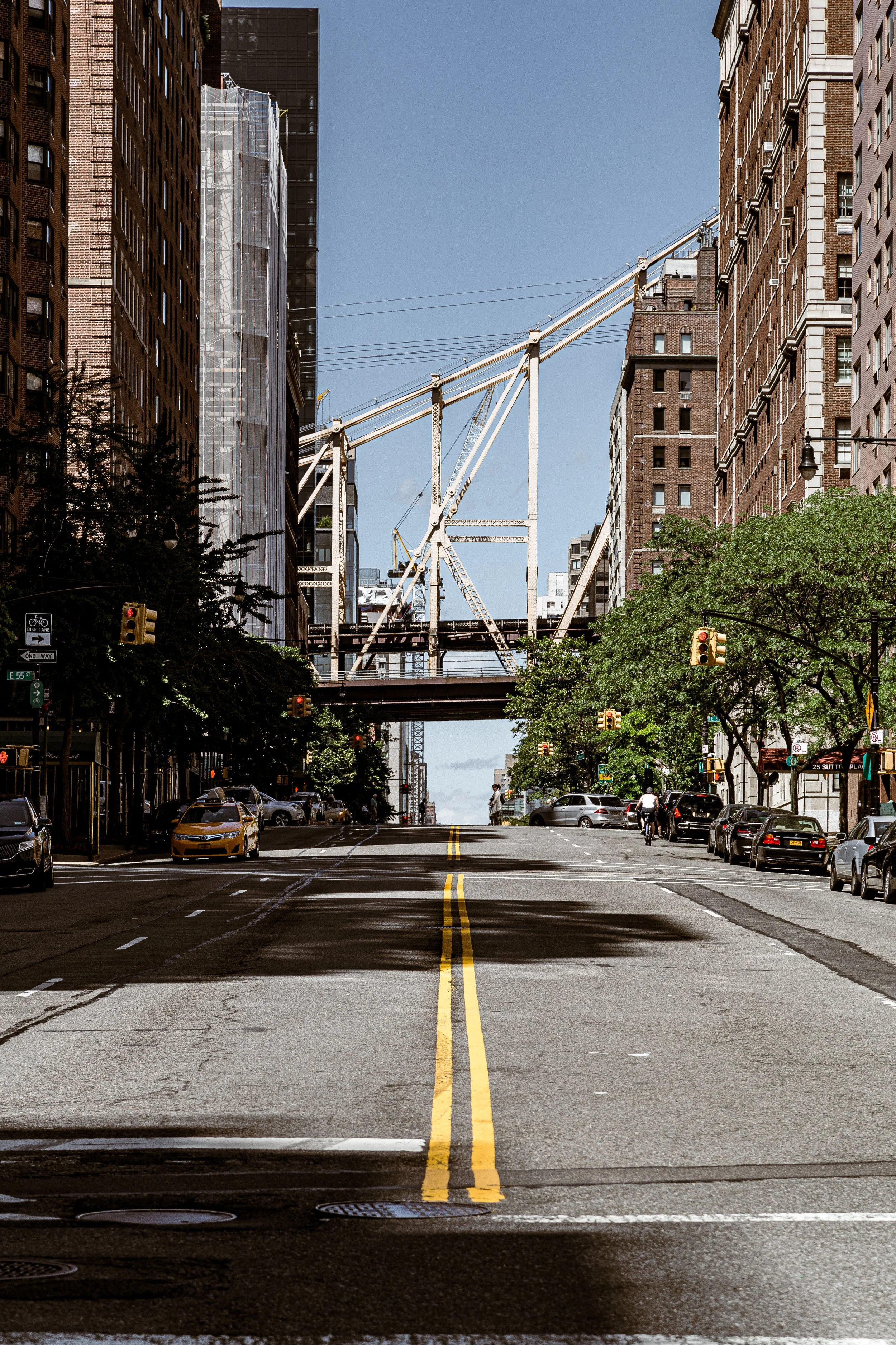
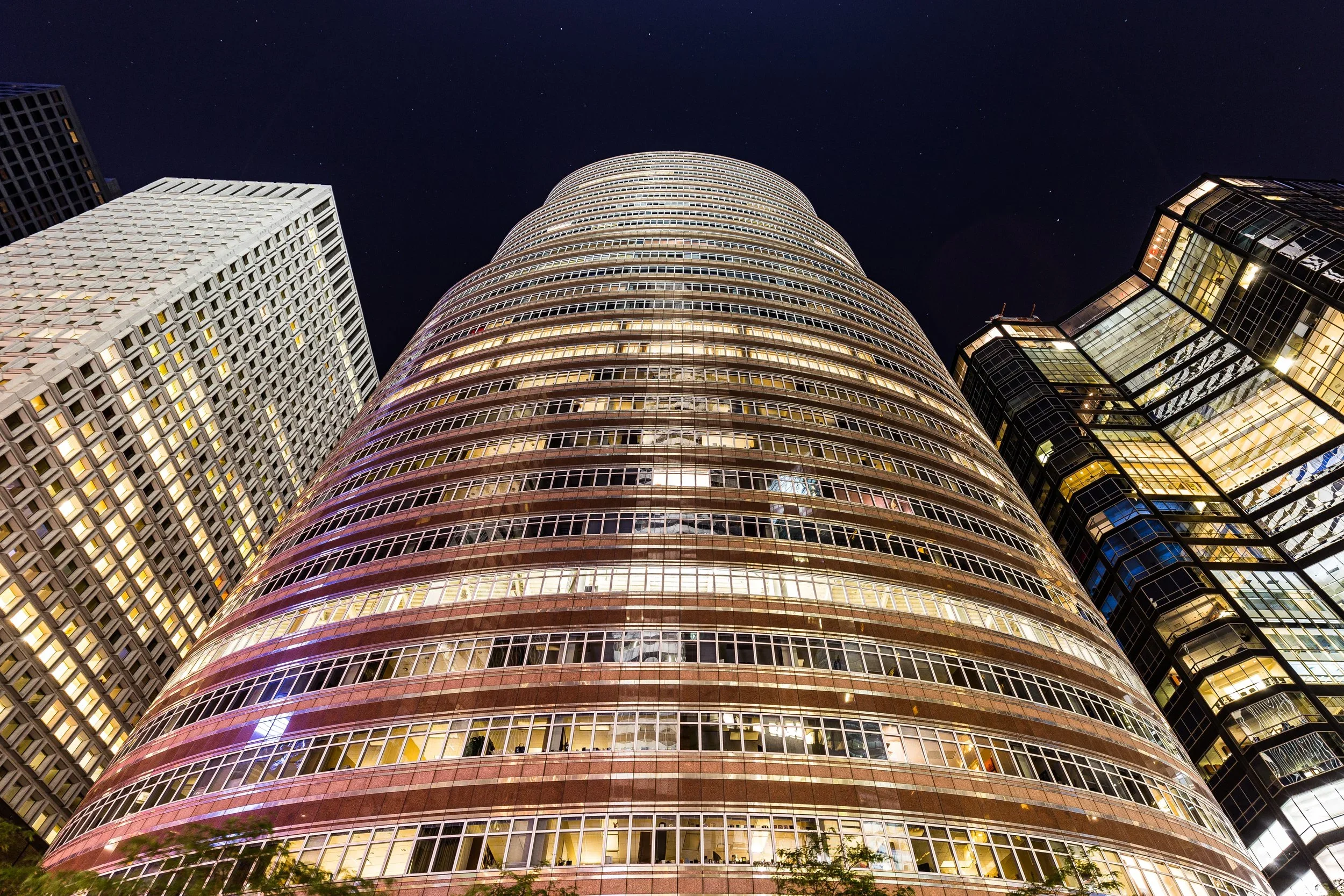
Sutton Place Photographic Tour
Mid–Late 20th Century: Discretion and Distinction
Through the postwar decades, Sutton Place maintained its rarefied calm even as the city around it modernized. The construction of the FDR Drive (1940s) separated the neighborhood from the East River by a barrier of highway, but landscaped promenades and private gardens restored a sense of waterfront connection. The period’s residents included prominent business leaders, ambassadors, and artists—among them Marilyn Monroe and Arthur Miller, who briefly lived on the block during the 1950s, and UN diplomats drawn to the area’s proximity to the United Nations Headquarters just a few avenues south.
The neighborhood’s co-ops—especially those at 25, 45, and 50 Sutton Place South—became some of Manhattan’s most prestigious addresses. Strict boards and understated architecture preserved Sutton Place’s exclusivity, while zoning protections prevented the high-rise incursions that reshaped much of Midtown East. By the 1970s and 1980s, Sutton Place was often described as “the city’s most civilized street,” a phrase capturing both admiration and irony: within walking distance of skyscrapers and expressways, it somehow retained the air of a riverside suburb.
21st Century: Preservation, Renewal, and Quiet Prestige
In the 21st century, Sutton Place remains a haven of composure amid Manhattan’s vertical expansion. New glass towers have risen along First Avenue and the nearby waterfront, but the historic heart of the neighborhood—Sutton Place and Sutton Place South between 57th and 59th Streets—remains largely unchanged. Elegant prewar co-ops, discreet doormen, and landscaped medians preserve the neighborhood’s classic tone.
Sutton Place Park, perched atop the FDR Drive at East 57th Street, offers benches shaded by plane trees and panoramic views of the East River and Queensboro Bridge. The park’s calm belies its infrastructure—traffic rushing beneath—making it emblematic of the neighborhood’s defining paradox: serenity above the city’s ceaseless motion. Meanwhile, conservation easements and landmark protections safeguard the historic façades along Sutton Square and Riverview Terrace, ensuring that the district’s scale and intimacy endure.
The neighborhood’s demographic remains diverse within its quiet affluence—longtime residents share blocks with professionals drawn by its location and seclusion. Sutton Place continues to embody a kind of “old New York modernity,” where understated elegance matters more than spectacle.
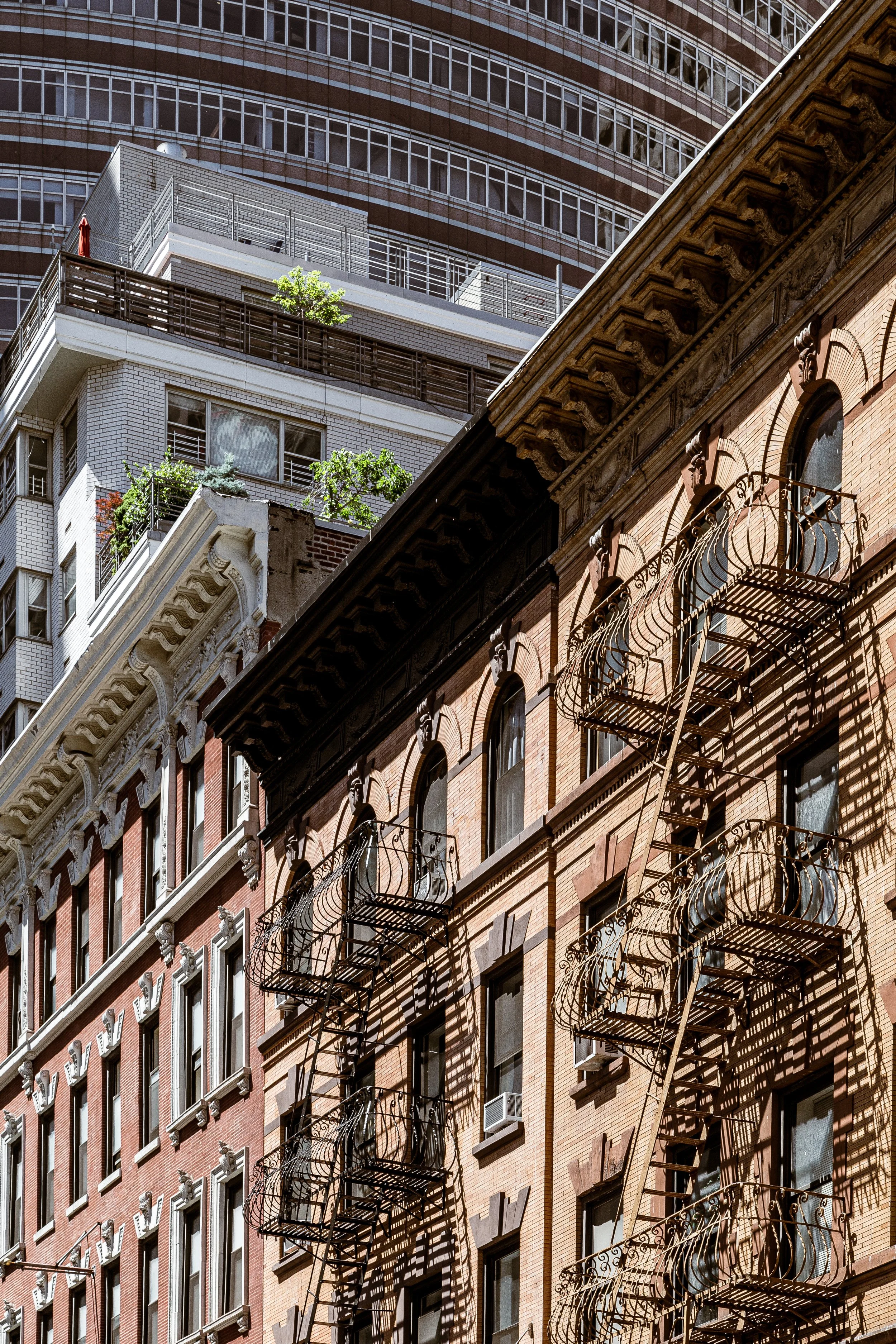
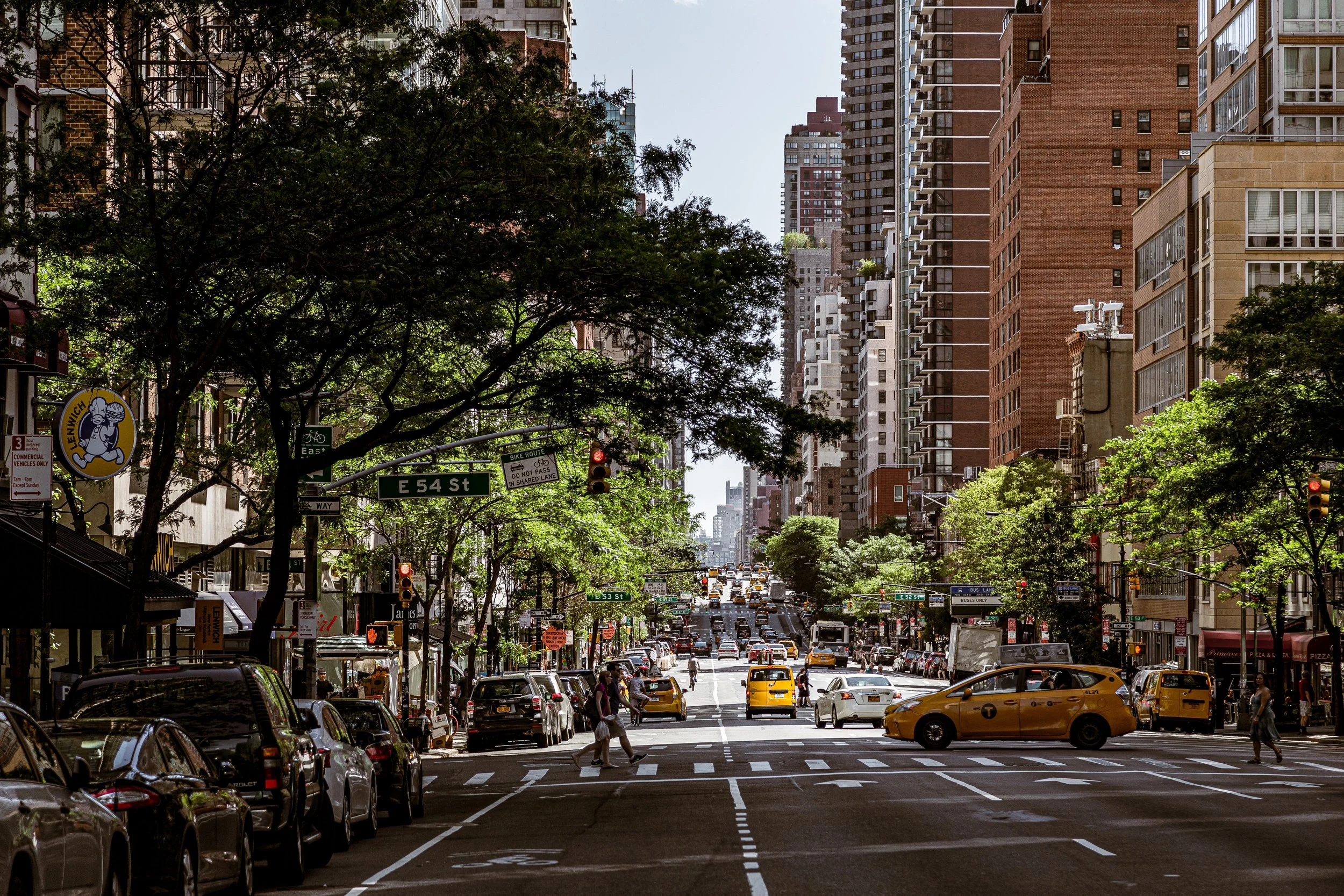
Sutton Place Photo Gallery
Spirit and Legacy
Sutton Place’s legacy is discretion refined into art. It is a place that has always valued composure over glamour, the hush of the river over the roar of Midtown. Its brownstones and limestone towers stand as the architectural memory of a city that once prized serenity as the highest luxury.
New York City
Use this custom Google map to explore where every neighborhood in all five boroughs of New York City is located.
The Five Boroughs
One of New York City’s unique qualities is its organization in to 5 boroughs: Manhattan, Brooklyn, Queens, The Bronx, and Staten Island. These boroughs are part pragmatic administrative districts, and part vestiges of the region’s past. Each borough is an entire county in New York State - in fact, Brooklyn is, officially, Kings County, while Staten Island is, officially Richmond County. But that’s not the whole story …
Initially, New York City was located on the southern tip of Manhattan (now the Financial District) that was once the Dutch colony of New Amsterdam. Across the East River, another city was rising: Brooklyn. In time, the city planners realized that unification between the rapidly rising cities would create commercial and industrial opportunities - through streamlined administration of the region.
So powerful was the pull of unification between New York and Brooklyn that three more counties were pulled into the unification: The Bronx, Queens, and Staten Island. And on January 1, 1898, the City of New York unified two cities and three counties into one Greater City of New York - containing the five boroughs we know today.
But because each borough developed differently and distinctly until unification, their neighborhoods likewise uniquely developed. Today, there are nearly 390 neighborhoods, each with their own histories, cultures, cuisines, and personalities - and each with residents who are fiercely proud of their corner of The Big Apple.


