ROCKAWAY PARK
Queens
Geographic Setting
Bounded by Beach 125th Street to the west, Beach 108th Street to the east, Jamaica Bay to the north, and the Atlantic Ocean to the south, Rockaway Park lies near the geographic center of the Rockaway Peninsula—a narrow finger of land where the ocean and the bay nearly touch. Often referred to as the “heart of the Rockaways,” this neighborhood serves as both a civic hub and a historic connector between the working-class vibrancy of Rockaway Beach to the east and the residential quiet of Belle Harbor and Neponsit to the west.
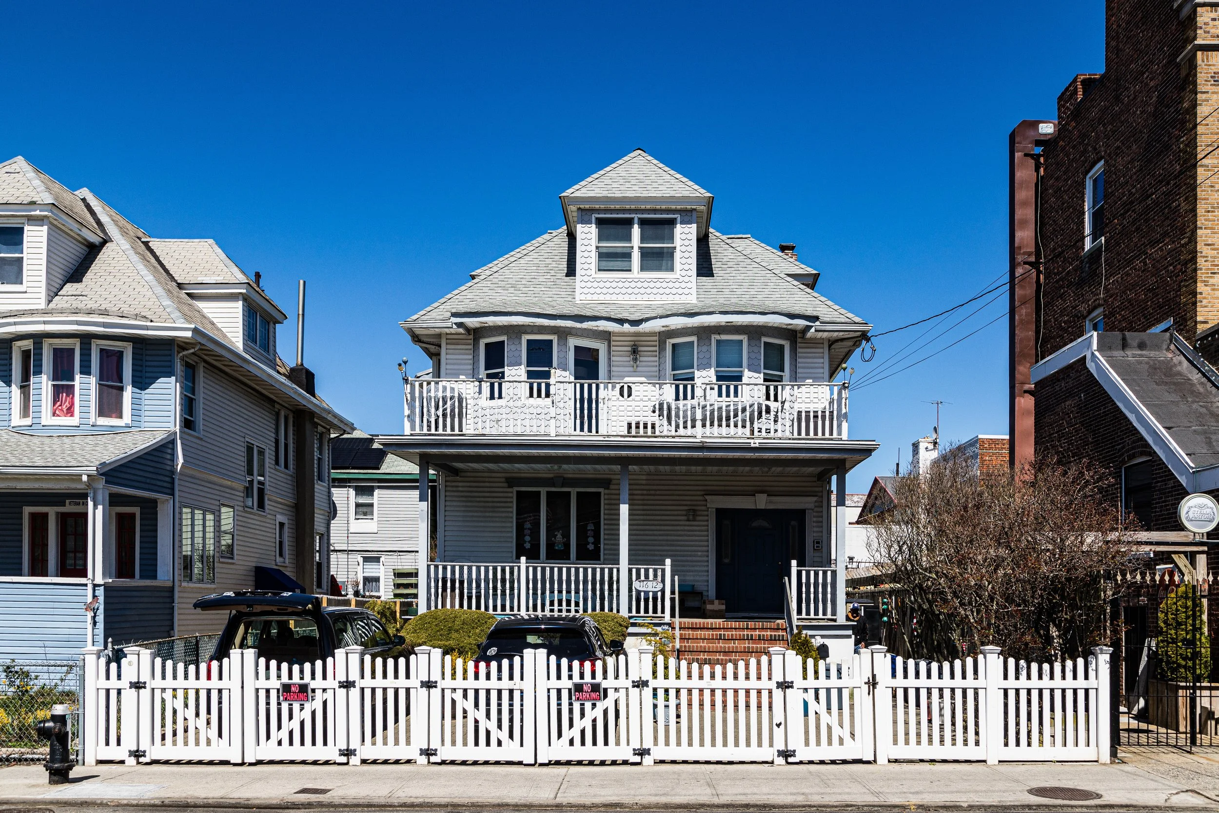
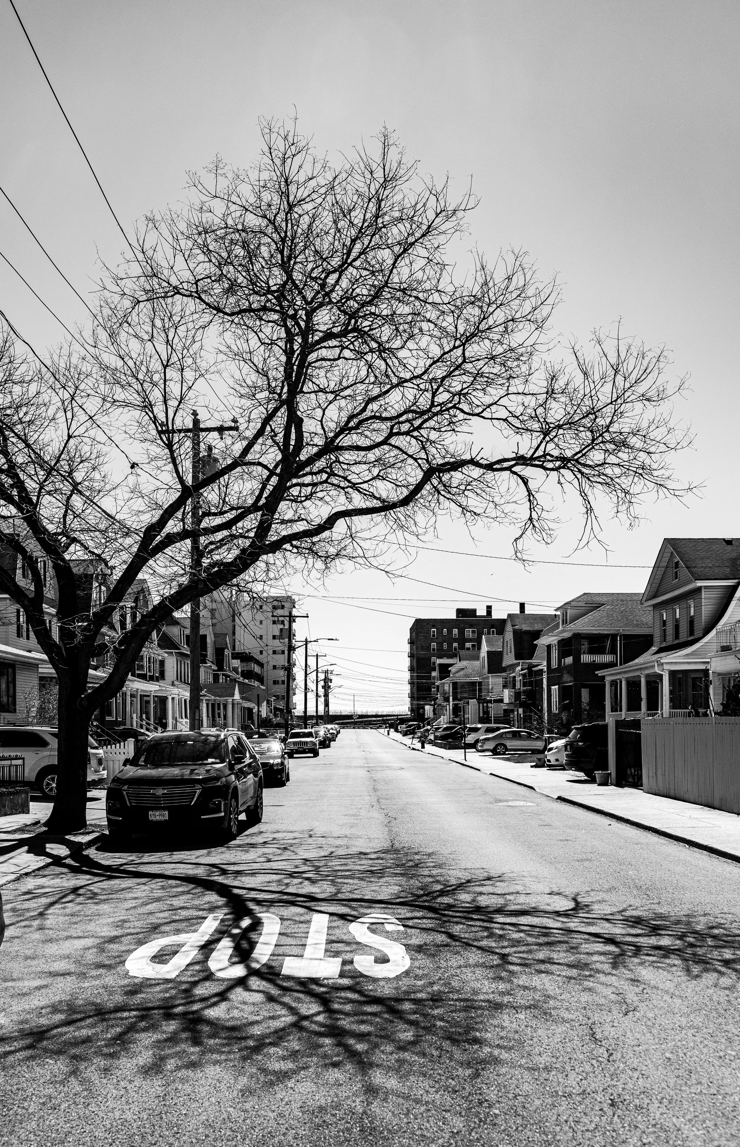
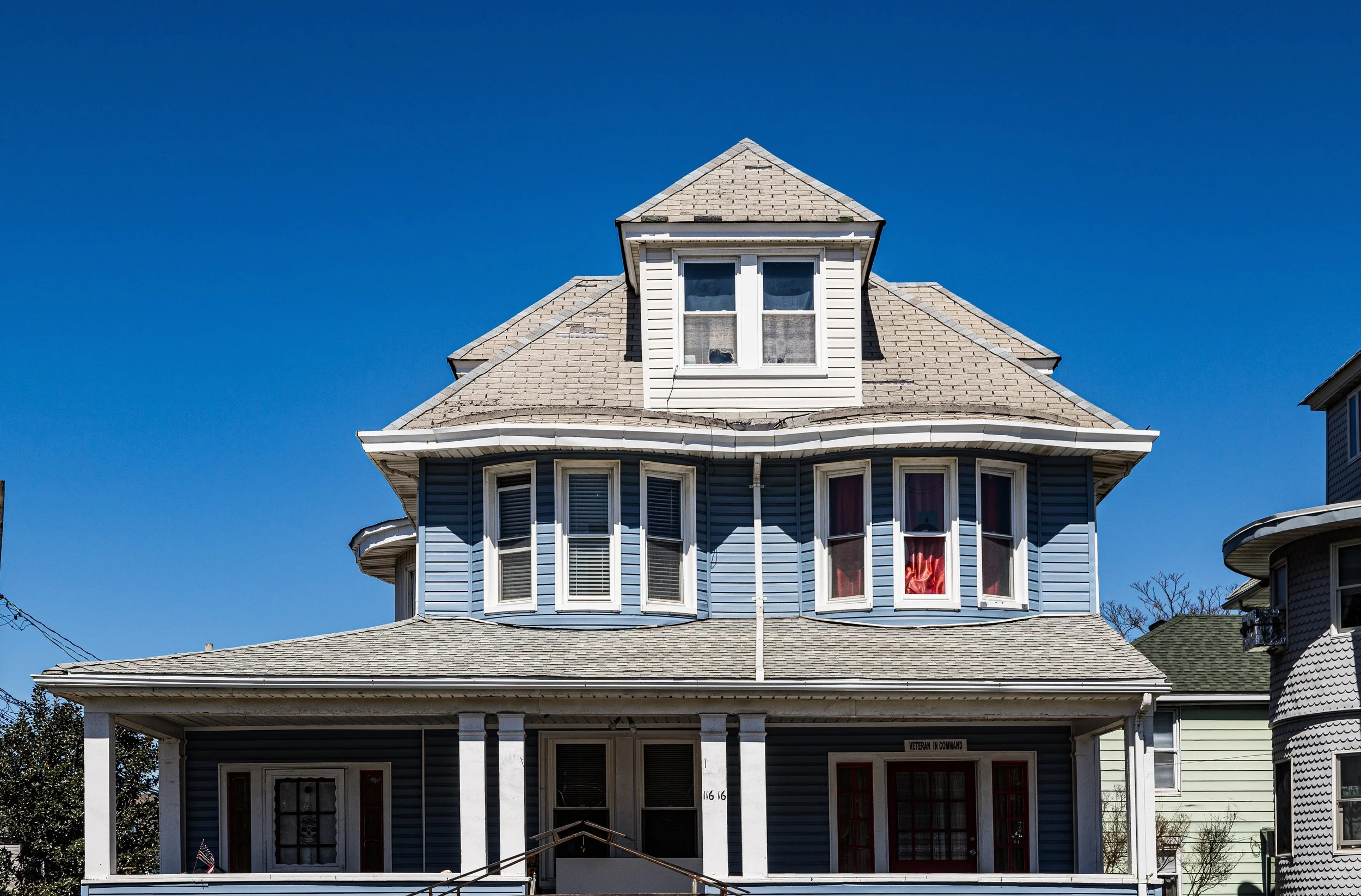
Its layout follows the peninsula’s long linear grid, with Beach Channel Drive, Rockaway Beach Boulevard, and Shore Front Parkway forming its major thoroughfares. The Rockaway Park–Beach 116th Street Station, the terminus of the A train and the Rockaway Park Shuttle (S), anchors the neighborhood’s transportation network, linking it directly to Brooklyn and Manhattan. Beach 116th Street itself serves as the district’s commercial spine—lined with cafés, surf shops, small groceries, and long-established family businesses. To the north, Jamaica Bay’s marinas and inlet parks provide boating and birdwatching opportunities, while the Atlantic shoreline to the south offers one of New York City’s most accessible oceanfronts, complete with boardwalk promenades, lifeguard stations, and surf breaks that attract locals and visitors alike.
Etymology and Origins
The name “Rockaway Park” was introduced in the 1880s by developers seeking to distinguish this planned seaside district from the broader Rockaway Beach area. The word Rockaway itself derives from the Algonquian term Reckowacky or Reckonwacky, meaning “place of sands,” a reference to the barrier island’s shifting dunes and tidal inlets.
The area that became Rockaway Park was part of the larger Rockaway Beach Improvement Company’s holdings—land once occupied by fishing settlements and summer cottages before its systematic transformation into a resort suburb. As early as the 1870s, William Wainwright, the hotelier and entrepreneur responsible for nearby Rockaway Beach, envisioned this section as a refined alternative to the noisy amusements farther east. By 1888, advertisements touted Rockaway Park as “a seaside garden of homes and health,” promising ocean breezes, easy rail access, and modern amenities.
The Long Island Rail Road’s Rockaway Branch, completed in the late 19th century, made the area an attractive summer retreat for middle- and upper-middle-class New Yorkers, and the construction of the Rockaway Park Hotel (1890s) helped cement its reputation as an elegant but accessible coastal enclave.
The Neighborhood
Early 20th Century: The Golden Age of Seaside Leisure
During the early decades of the 20th century, Rockaway Park thrived as both a vacation destination and residential community. Elegant beachfront hotels, bungalow colonies, and private boarding houses lined the oceanfront, while day-trippers from Brooklyn and Manhattan crowded the wide sands and wooden boardwalk. Beach 116th Street, then called Rockaway Boulevard, became the peninsula’s “Main Street,” filled with bathhouses, ice cream parlors, and summer theaters.
The introduction of the Rockaway Beach Branch elevated line (1912) and expanded ferry service via Jamaica Bay brought even larger crowds, solidifying the Rockaways’ reputation as New York’s seaside playground. The Rockaway Park Yacht Club (est. 1905), Belle Harbor Yacht Club, and St. Francis de Sales Parish (est. 1907) reflected the neighborhood’s social and civic vitality.
The 1920s marked the height of Rockaway Park’s resort era, when its beaches drew tens of thousands each summer weekend. The twin forces of infrastructure and optimism—paved boulevards, electric trolleys, and a newly completed Boardwalk (1931)—transformed it into a truly modern beach town.
Mid-20th Century: Suburban Stability and Urban Challenge
Following World War II, Rockaway Park, like much of the peninsula, transitioned from a seasonal resort to a year-round residential neighborhood. Many summer bungalows were winterized for permanent occupancy, attracting working-class families—particularly Irish-American, Italian-American, and Jewish residents—who valued the ocean air and tight-knit community.
The postwar years also brought profound change. Robert Moses’s urban renewal projects—including the expansion of the Shore Front Parkway and the redevelopment of public housing to the east—displaced portions of the older bungalow colonies. Nonetheless, Rockaway Park maintained a relatively stable, middle-class character, its social life centered around parish institutions, civic clubs, and the lively boardwalk culture.
In 1956, the Rockaway Line of the IND A train was extended across Jamaica Bay, physically linking the peninsula to the rest of New York City’s subway network for the first time. This connection made Rockaway Park more accessible but also brought the challenges of integration into the city’s larger urban systems: fluctuating property values, seasonal economies, and periodic flooding.

Rockaway Park Video Coming Soon
Late 20th Century: Decline, Resilience, and Identity
By the 1970s and 1980s, Rockaway Park—like neighboring Rockaway Beach—faced economic stagnation, storm damage, and urban neglect. Yet through these decades, the neighborhood’s strong community institutions and maritime culture sustained it. The Rockaway Park Civic Association, the Beach 116th Street Business Improvement District, and numerous volunteer fire and surf rescue organizations preserved local infrastructure and spirit.
The surfing community, increasingly visible from the 1960s onward, became a cultural hallmark. Rockaway Park’s stretches of shoreline—particularly near Beach 90th–108th Streets—developed into one of the few legal surf zones in New York City, and by the 1990s, surf clubs and schools had become part of the local economy. While parts of the neighborhood weathered disinvestment, its deep-rooted families, strong Catholic parishes, and access to the sea prevented wholesale decline.
21st Century: Renewal, Surf Culture, and Reconnection
The 21st century has ushered in both devastation and rebirth for Rockaway Park. Hurricane Sandy (2012) left much of the neighborhood underwater, destroying homes, businesses, and long stretches of the historic boardwalk. Yet in the years that followed, Rockaway Park became a symbol of grassroots recovery and resilience. Residents rebuilt homes and businesses, community organizations coordinated relief efforts, and city agencies undertook massive restoration of coastal defenses and transit systems.
The reconstructed Rockaway Boardwalk (2017)—built of concrete and recycled glass aggregate—now stands as a centerpiece of resilience, linking Rockaway Park to its neighboring communities along a continuous 5.5-mile promenade. With new parks, playgrounds, and concessions, the area has re-emerged as both a beachfront destination and a residential stronghold.
Today, Rockaway Park embodies the dual identity of the modern peninsula: a tight-knit, old-school neighborhood coexisting with a youthful, surf-driven cultural revival. Along Beach 116th Street, family-owned diners, Irish pubs, and surf cafés coexist with yoga studios and art spaces. The NYC Ferry service, reintroduced in 2017, connects Rockaway Park to Wall Street and Sunset Park, reasserting its historical maritime link to the city.
Rockaway Park Photo Gallery
Spirit and Legacy
The spirit of Rockaway Park is defined by resilience, rhythm, and renewal. It has endured fires, floods, and economic tides, yet remains bound to the ocean that shapes its very identity. Its residents—lifelong locals and newcomers alike—share a sense of place that is both nostalgic and forward-looking.
New York City
Use this custom Google map to explore where every neighborhood in all five boroughs of New York City is located.
The Five Boroughs
One of New York City’s unique qualities is its organization in to 5 boroughs: Manhattan, Brooklyn, Queens, The Bronx, and Staten Island. These boroughs are part pragmatic administrative districts, and part vestiges of the region’s past. Each borough is an entire county in New York State - in fact, Brooklyn is, officially, Kings County, while Staten Island is, officially Richmond County. But that’s not the whole story …
Initially, New York City was located on the southern tip of Manhattan (now the Financial District) that was once the Dutch colony of New Amsterdam. Across the East River, another city was rising: Brooklyn. In time, the city planners realized that unification between the rapidly rising cities would create commercial and industrial opportunities - through streamlined administration of the region.
So powerful was the pull of unification between New York and Brooklyn that three more counties were pulled into the unification: The Bronx, Queens, and Staten Island. And on January 1, 1898, the City of New York unified two cities and three counties into one Greater City of New York - containing the five boroughs we know today.
But because each borough developed differently and distinctly until unification, their neighborhoods likewise uniquely developed. Today, there are nearly 390 neighborhoods, each with their own histories, cultures, cuisines, and personalities - and each with residents who are fiercely proud of their corner of The Big Apple.


