KISSENA
Queens
Geographic Setting
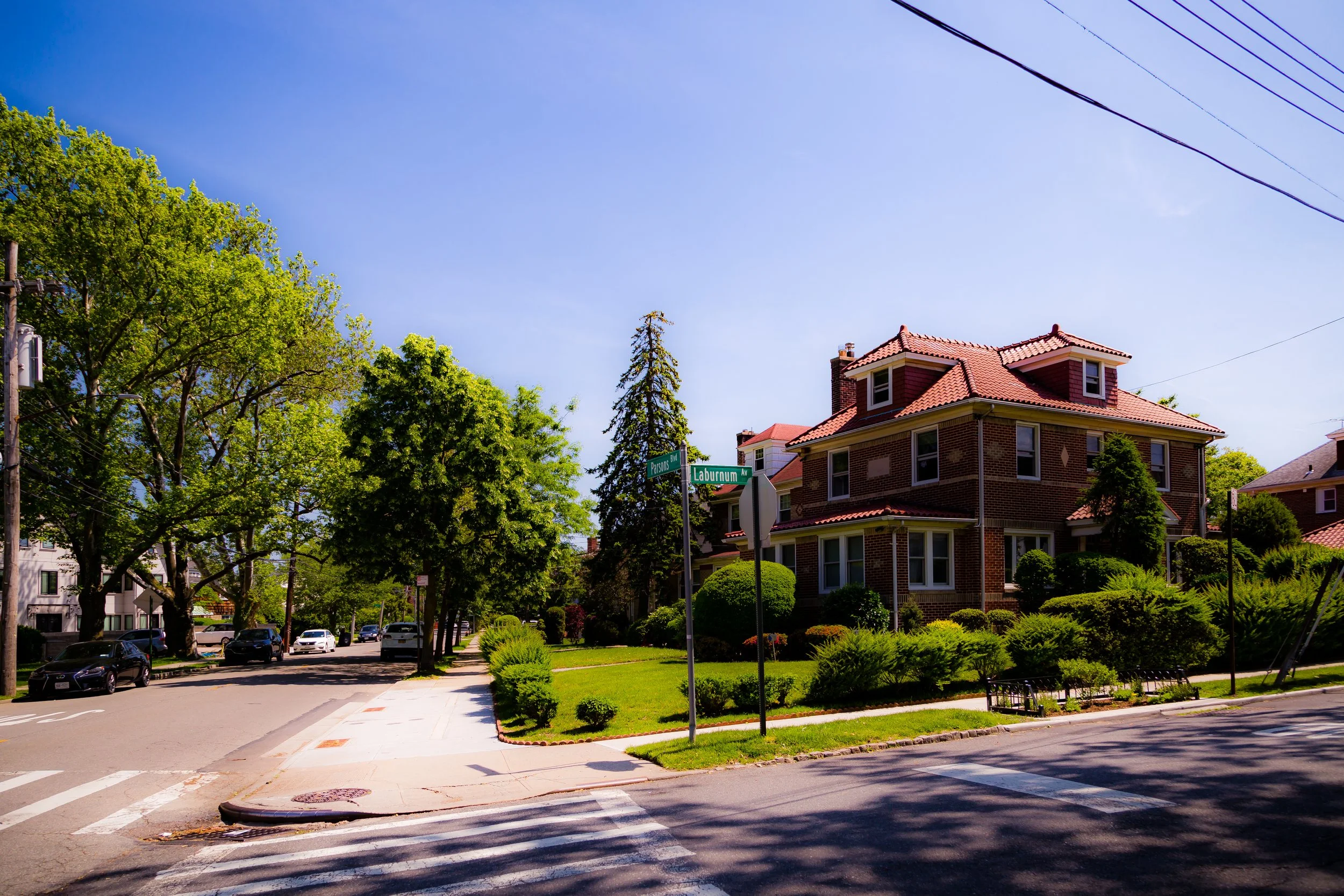
Bounded by Kissena Park to the south and west, 45th Avenue from Colden Street to Parsons Boulevard, 46th Avenue from Parsons Boulevard to Pidgeon Meadow Road, and Fresh Meadow Lane to the east, Kissena occupies a tranquil residential enclave in north-central Queens. Situated between Flushing, Fresh Meadows, and Kew Gardens Hills, the neighborhood centers around the lush natural expanse of Kissena Park—its namesake and defining landmark. This parkland, with its glacial pond, meadows, and woodlands, shapes not only the geography but also the spirit of the community, offering an uncommon balance between city living and pastoral calm.
The neighborhood’s topography rises gently from the wetlands around Kissena Lake toward the residential streets that frame it. Tree-lined avenues such as Parsons Boulevard, 45th Avenue, and Colden Street weave through a mix of Tudor, Colonial, and postwar brick homes, interspersed with low-rise apartment buildings and garden co-ops. To the east, the grid transitions toward the more suburban rhythms of Fresh Meadows, while to the north, the proximity to downtown Flushing brings cultural vibrancy and transit access. Yet within Kissena’s boundaries, the ambiance remains quiet and green—a neighborhood defined by open space, family life, and continuity.
Etymology and Origins
The name “Kissena” derives from the Algonquin word “Kissena,” meaning “it is cold,” or “cold place.” The term originally referred to the natural spring-fed pond at the heart of what is now Kissena Park, whose clear waters once served as a resource for both Native peoples and later Dutch and English settlers. The land surrounding the pond formed part of the early Town of Flushing, founded in 1645 by English colonists seeking religious freedom.
Through the 18th and 19th centuries, the Kissena area remained largely agricultural. Farms, orchards, and nurseries flourished on its fertile soil, and the area gained renown as part of the horticultural belt of Flushing—home to nurserymen such as Samuel Parsons and William Prince, whose work helped make Queens the “nursery of America.” In fact, Kissena Park itself occupies land once owned by the Parsons family, who operated a vast tree nursery that exported plant species across the country and contributed to the landscaping of Central Park and Prospect Park.
The City of New York acquired much of this land in the late 19th century to create a public park, part of an interconnected “greenway” envisioned by Frederick Law Olmsted’s successors. The surrounding residential district would not fully develop until the 1920s–1950s, when improved roads, the expansion of the Flushing subway line, and postwar housing demand transformed the old farmland into a cohesive suburban community.
The Neighborhood
Early 20th Century: Suburbanization Around the Park
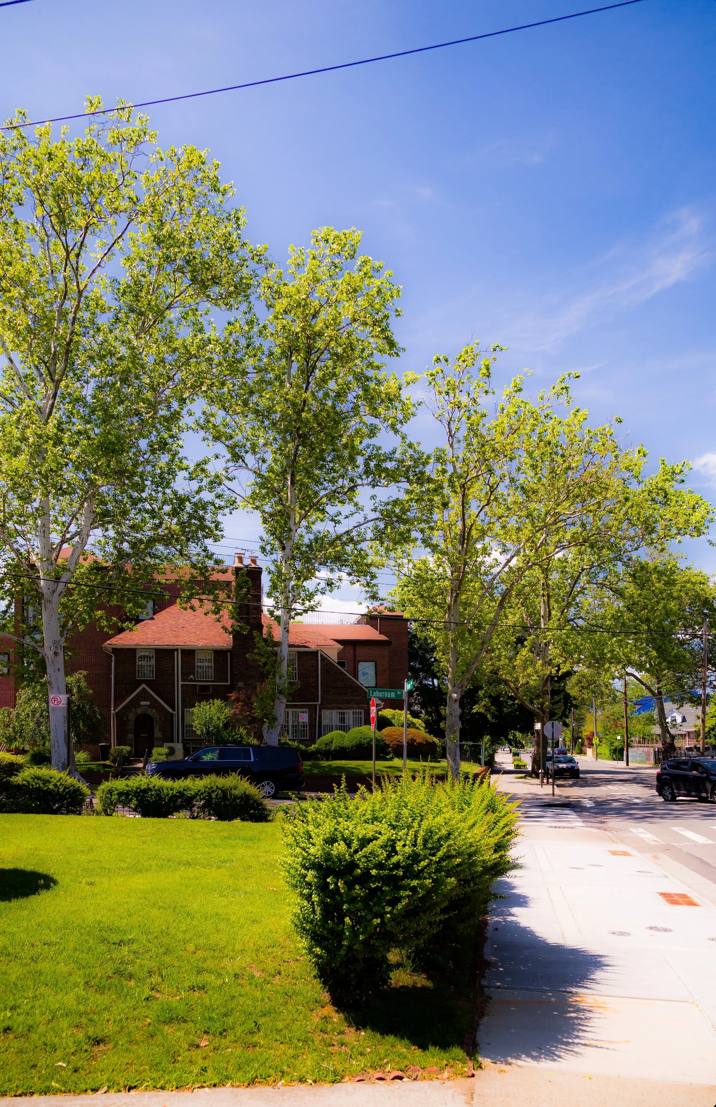
The transformation of Kissena from farmland to neighborhood began in the 1910s and 1920s, coinciding with the broader urbanization of Flushing. Developers marketed the area’s proximity to Kissena Park as its chief attraction—a landscape of meadows, hills, and the reflective waters of Kissena Lake offering both recreation and respite. Early homes along Parsons Boulevard, Colden Street, and 45th Avenue adopted the architectural styles then popular in Queens’ planned suburbs: Tudor Revival, Dutch Colonial, and Georgian designs with red-brick façades and slate roofs.
The completion of Union Turnpike and the extension of streetcar and bus lines made the district accessible to Manhattan commuters. Families seeking a blend of city convenience and suburban tranquility flocked to Kissena, drawn by affordable single-family homes, good schools, and the promise of green living. By the 1930s, small apartment houses and co-op buildings began appearing along the main corridors, adding density without undermining the area’s low-rise character.
Meanwhile, Kissena Park was developed as a centerpiece of Queens’ park system. Under Robert Moses’ supervision in the 1930s, the park was expanded, landscaped, and connected via parkways to Flushing Meadows–Corona Park and Alley Pond Park. Its glacial pond was formalized into the present Kissena Lake, surrounded by footpaths, picnic grounds, and athletic fields—a democratic urban wilderness serving generations of New Yorkers.
Mid–Late 20th Century: Community Growth and Continuity
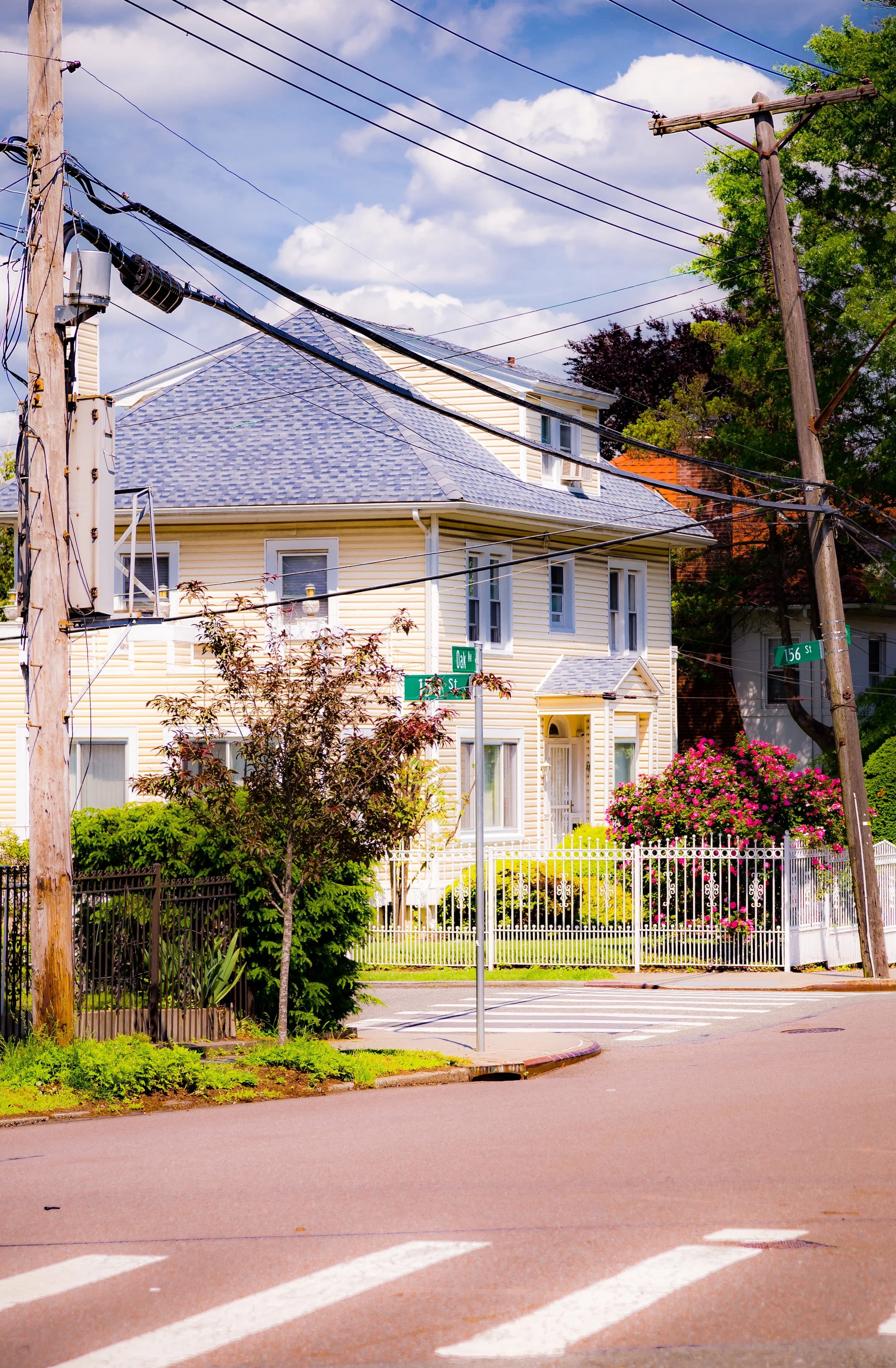
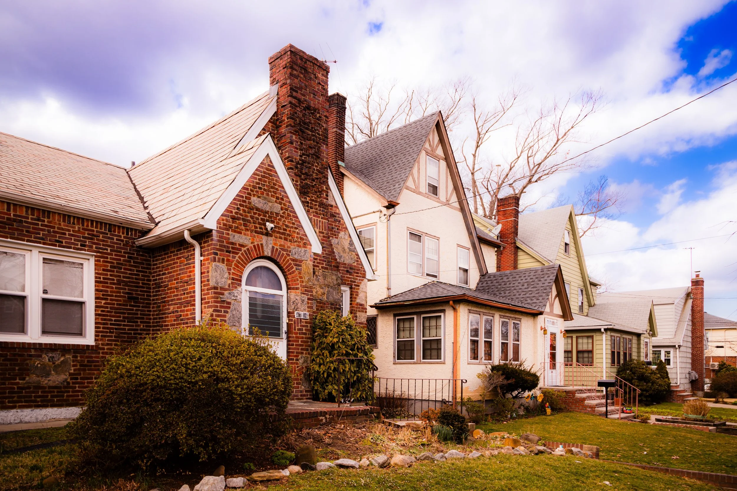
From the 1950s through the 1980s, Kissena evolved into one of Queens’ most stable residential areas. The postwar building boom introduced garden apartments and co-op complexes such as Kissena Gardens and Regal Park Estates, accommodating returning veterans and young families. The neighborhood’s schools—P.S. 163 Flushing Heights, I.S. 237, and John Bowne High School—became cornerstones of the community. Churches, synagogues, and civic associations flourished, reflecting the growing mix of Jewish, Italian, Irish, and later Asian-American residents.
Throughout this period, Kissena Park remained the neighborhood’s defining institution. Its 235 acres of open space became a venue for seasonal recreation—sailing and ice-skating on the lake, cycling at the Kissena Velodrome, and nature walks through the Kissena Corridor, a wooded extension linking to Auburndale and Fresh Meadows. Despite the city’s fiscal challenges of the 1970s, local advocacy groups such as the Kissena Park Civic Association worked to preserve the park’s ecology and prevent overdevelopment along its perimeter.
The proximity of Queens College, located just northwest of the neighborhood, further enriched local life. Students and faculty settled in nearby apartments, while the college’s concerts, lectures, and athletic programs became informal extensions of the community’s cultural landscape.
Kissena Video Coming Soon
21st Century: Diversity, Preservation, and Park Renewal
In the 21st century, Kissena remains a microcosm of Queens’ defining traits—diversity, livability, and green space. The population now includes large Chinese-American, Korean-American, and South Asian communities alongside long-established Jewish and Italian residents. New restaurants, markets, and cultural organizations have appeared along Parsons Boulevard and Main Street, blending local heritage with global vitality.
Recent years have brought renewed investment in Kissena Park, with city-led restoration of wetlands, walking trails, and the historic velodrome. Environmental groups and local schools have collaborated on conservation projects that highlight the park’s role as both ecological sanctuary and neighborhood commons. The Flushing Meadows–Kissena Greenway, part of the borough’s growing bike network, now links Kissena residents to Flushing Meadows–Corona Park and Cunningham Park, completing the century-old dream of a connected Queens park system.
At the same time, careful zoning and community activism have preserved the area’s low-rise residential fabric. Efforts by the Kissena Park Civic Association continue to safeguard against large-scale redevelopment while encouraging sustainable modernization—solar retrofits, tree planting, and improved pedestrian amenities. The balance between stability and adaptation has become Kissena’s hallmark.
Bowery Photo Gallery
Spirit and Legacy
Kissena’s legacy is inseparable from its landscape. Born from water, trees, and the horticultural imagination of Flushing’s pioneers, it remains a neighborhood where nature and neighborhood coexist in rare harmony. Its park still breathes the air of a rural past, even as its streets hum with the energy of a global city.
New York City
Use this custom Google map to explore where every neighborhood in all five boroughs of New York City is located.
The Five Boroughs
One of New York City’s unique qualities is its organization in to 5 boroughs: Manhattan, Brooklyn, Queens, The Bronx, and Staten Island. These boroughs are part pragmatic administrative districts, and part vestiges of the region’s past. Each borough is an entire county in New York State - in fact, Brooklyn is, officially, Kings County, while Staten Island is, officially Richmond County. But that’s not the whole story …
Initially, New York City was located on the southern tip of Manhattan (now the Financial District) that was once the Dutch colony of New Amsterdam. Across the East River, another city was rising: Brooklyn. In time, the city planners realized that unification between the rapidly rising cities would create commercial and industrial opportunities - through streamlined administration of the region.
So powerful was the pull of unification between New York and Brooklyn that three more counties were pulled into the unification: The Bronx, Queens, and Staten Island. And on January 1, 1898, the City of New York unified two cities and three counties into one Greater City of New York - containing the five boroughs we know today.
But because each borough developed differently and distinctly until unification, their neighborhoods likewise uniquely developed. Today, there are nearly 390 neighborhoods, each with their own histories, cultures, cuisines, and personalities - and each with residents who are fiercely proud of their corner of The Big Apple.


